Churchill Barriers Travel Guide
Free Guide: Historic WWII causeways in Orkney that safeguarded Scapa Flow and now link islands with a rich legacy of resilience and culture.


A brief summary of Churchill Barriers
Historic WWII causeways in Orkney that safeguarded Scapa Flow and now link islands with a rich legacy of resilience and culture.
The Churchill Barriers are four historic causeways in Orkney, Scotland, built during World War II to protect the naval anchorage at Scapa Flow. Constructed between 1940 and 1944 on Winston Churchill’s orders, they blocked eastern approaches to prevent enemy submarines from entering. Today, they serve as vital road links connecting Orkney Mainland to South Ronaldsay via several islands, with two barriers listed as Category A for their national importance.
On-site amenities
 Seating areas
 Information boards
Opening hours
- Every dayOpen 24 hours
Opening hours as listed on the venue’s Google Business Profile. Hours can change for services and special events, so check with the venue before you go.
- Address
- A961, Orkney KW17 2RZ
Getting there
Bus
Car
Taxi
Discover more about Churchill Barriers
Origins of the Churchill Barriers
The Churchill Barriers were conceived as a direct response to a tragic event early in World War II. In October 1939, the German U-Boat U-47 penetrated the existing naval defences at Scapa Flow, a major Royal Navy base, and sank the battleship HMS Royal Oak with heavy loss of life. This exposed the vulnerability of the harbour’s eastern entrances, which were protected only by sunken blockships and anti-submarine nets that proved inadequate. Winston Churchill, then First Lord of the Admiralty, ordered the construction of permanent causeways to seal off these channels and prevent further enemy incursions.
Construction and Engineering Feats
Work began in May 1940 under contract to Balfour Beatty and continued until September 1944. The barriers link the Orkney Mainland to South Ronaldsay via the islands of Lamb Holm, Glimps Holm, and Burray. The foundations were built using gabions filled with around 250,000 tonnes of local broken rock, dropped into waters up to 18 metres deep from overhead cableways. These were covered with approximately 66,000 concrete blocks weighing five to ten tonnes each, arranged to form robust wave-breaks. The total length of the four causeways is about 2.3 kilometres (1.4 miles).
Labour and the Italian POW Legacy
A significant labour force was required, peaking at over 2,000 workers. From early 1942, more than 1,300 Italian prisoners of war captured in North Africa were brought to Orkney to assist with construction. They were housed in camps on Lamb Holm and Burray. Despite initial resistance due to Geneva Convention concerns, the POWs contributed significantly to the project. One enduring legacy of their presence is the Italian Chapel on Lamb Holm, a beautifully decorated Catholic chapel created by the prisoners in their free time, now a cherished cultural landmark.
Post-War Transformation and Current Use
Although built for military defence, the barriers were officially opened as public roads on 12 May 1945, just after Victory in Europe Day. They transformed local transport by linking several islands, replacing ferry services and enabling easier movement and economic integration. Over time, the barriers have been upgraded and maintained by local authorities. The southern two barriers have been designated Category A listed status, recognizing their national and international significance as historic structures.
Environmental and Cultural Impact
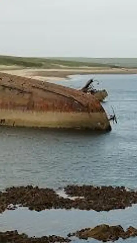
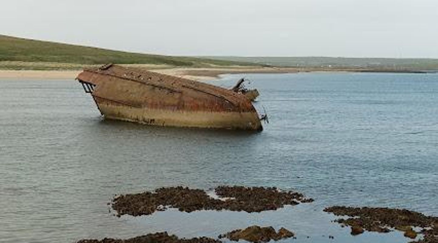
The barriers altered the local environment, with the most southerly barrier blending into the landscape as dunes accumulated, effectively joining Burray and South Ronaldsay. The remaining blockships near the barriers have become popular dive sites, attracting visitors interested in maritime history. The barriers stand as a powerful reminder of Orkney’s strategic role in wartime and the resilience of its communities.
Preservation and Challenges Ahead
In recent years, responsibility for the barriers passed from the Ministry of Defence to Orkney Islands Council. Climate change and increasingly severe weather have begun to affect the structures, with some sections at risk of deterioration. Ongoing conservation efforts aim to preserve the barriers both as vital transport links and as historic monuments reflecting a pivotal chapter in 20th-century military history.
Evendo Review Centre
 Google
Guest reviews
Best time to go
Quietest: Jan, Feb & Dec · before 6am
Busy times are Evendo estimates for a typical year, to help you plan. Actual crowds vary with events, school holidays and the weather.
Explore Churchill Barriers on the map
A handpicked selection of must-see spots near Churchill Barriers, mapped for you.
Get your free copy of our complete guide to Churchill Barriers, delivered straight to you.
Everything on this page, from opening hours and how to get there to Eve’s tips and the best time to go, in one PDF you can read offline, print or share.
Already have an account? Sign in
Your Churchill Barriers guide is ready.
We'll send it to · Not you? Sign out

Getting your guide ready…
We are putting together a fresh copy of the Churchill Barriers guide. This can take up to a minute.
This can take a few moments. If your browser asks, choose Allow so the download can start. You'll find the guide in your Downloads folder.
Nothing happened? Download it again
Sorry, the guide is taking longer than usual. Please try again in a minute, or get it by email instead.
Unlock the best of Churchill Barriers
Skip-the-line tickets, guided tours with entry, and walking tours of the area, booked in a few clicks.




Other nearby places you may find interesting
The closest places of the same kind, if this one is not quite what you had in mind.
-
-
-
-
-


Swipe for more places
More to explore near Churchill Barriers

 Best experiences near Churchill Barriers
 Best hotels near Churchill Barriers
 Best landmarks near Churchill Barriers
 Best attractions near Churchill Barriers
 Best shops near Churchill Barriers
 Best restaurants near Churchill Barriers
 Best bars near Churchill Barriers
Do you manage this location?
Take control to get all the benefits, like improved information, better appearance, and stronger visibility across AI-powered discovery.
Explore more

Explore more of Orkney
Discover Orkney: A magical blend of ancient history, stunning landscapes, and vibrant local culture in Scotland's enchanting archipelago.
Explore Orkney
Explore more of United Kingdom
Discover the United Kingdom: A blend of rich history, stunning landscapes, and vibrant cities, offering a unique travel experience for every visitor.
Explore United Kingdom