Eldon Hole
A legendary 55-metre pothole steeped in geology, folklore, and Peak District heritage.
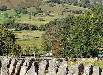
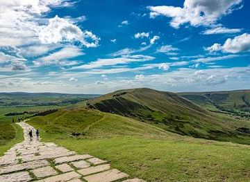
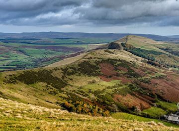
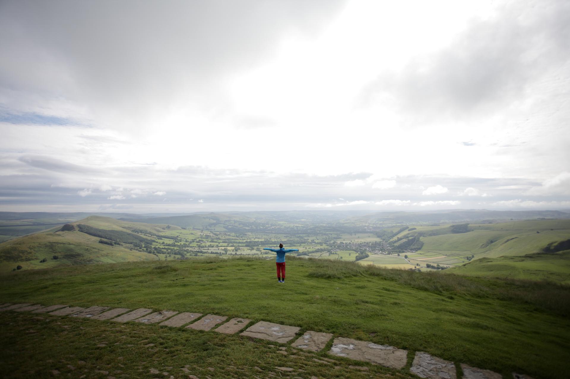
A Geological Marvel in the White Peak
Eldon Hole is a 55-metre-deep pothole situated on the eastern slopes of Eldon Hill, a 470-metre limestone dome located 4 kilometres southwest of Castleton in the Peak District National Park. This natural sinkhole represents one of the most significant karst features in Derbyshire, formed through the dissolution of pure carboniferous limestone by acidic groundwater over millennia. The pothole's formation reflects the dramatic geological processes that shaped the White Peak landscape, where soluble limestone creates an intricate network of caves, passages, and surface depressions. Eldon Hole's depth and accessibility make it a focal point for geological study and recreational exploration.Historical Significance and Cultural Legacy
Eldon Hole achieved lasting fame when philosopher Thomas Hobbes designated it as one of the Seven Wonders of the Peak in 1636, cementing its status as a landmark of regional importance. This recognition reflected both its geological prominence and the sense of wonder it inspired among early natural historians. Local folklore has long surrounded the pothole, with traditional stories claiming it as the abode of the Devil, adding an air of mystery and intrigue to its natural drama. These narratives reveal how communities have interpreted and mythologised the landscape's more dramatic features, transforming a geological phenomenon into a cultural symbol that has endured for centuries.The Surrounding Landscape and Walking Routes
Eldon Hole sits within a landscape of open moorland and limestone pasture, offering expansive views across the Peak District. The approach from Peak Forest to the south provides the most direct route, passing close to the pothole entrance and climbing onto the limestone moor alongside Eldon Hill. An alternative approach from Castleton to the north ascends through Cave Dale, a dramatic limestone valley, with descent via Winnats Pass, creating a circular walk of considerable scenic interest. Both routes traverse characteristic White Peak terrain, with dry stone walls, rough grazing land, and panoramic vistas encompassing Mam Tor, Axe Edge Moor, and the town of Buxton visible from higher elevations.Natural and Archaeological Context
Eldon Hill itself contains a Bronze Age tumulus near its summit, a burial mound measuring 16 by 15 metres, which testifies to human presence in this landscape for over 3,000 years. The hill lies within the Castleton Site of Special Scientific Interest, recognising its ecological and geological value. The limestone geology that created Eldon Hole marks the northern limit of carboniferous limestone in the Peak District; further north, the landscape transitions into the millstone grit of the Dark Peak. This geological boundary makes the area particularly significant for understanding the Peak District's diverse geology and the processes that continue to shape the landscape.Access and Visitor Experience
The pothole is accessible via established footpaths from both Peak Forest and Castleton, with parking available near the trailheads. The walk to Eldon Hole combines geological interest with moorland scenery, offering visitors the opportunity to observe karst features, Bronze Age archaeology, and expansive landscape views within a single outing. The site remains largely undeveloped, preserving its natural character while remaining accessible to walkers of moderate fitness. The combination of geological drama, historical significance, and accessible moorland walking makes Eldon Hole a compelling destination for those interested in the Peak District's natural and cultural heritage.Local tips
- Visit in clear weather to fully appreciate the panoramic views from the moorland surrounding Eldon Hole, including vistas of Mam Tor and Buxton.
- The Peak Forest approach is shorter and more direct; the Castleton route via Cave Dale and Winnats Pass offers greater scenic variety and is better suited to a full morning or afternoon walk.
- Wear sturdy footwear with good grip; moorland paths can be muddy and uneven, particularly after rain or in winter months.
- Combine your visit with exploration of nearby Castleton's show caves or the Bronze Age tumulus on Eldon Hill's summit for a richer understanding of the area's archaeology and geology.
A brief summary to Eldon Hole
- Peak District National Park, Buxton, SK17, UK, GB
Getting There
-
From Peak Forest village
From Peak Forest village, follow Eldon Lane uphill for approximately 1.5 kilometres. Park near Sweet Knoll House at the top of the lane where a recognisable footpath begins. The walk to Eldon Hole takes 20–30 minutes across open moorland. This is the most direct approach and passes closest to the pothole entrance. No entrance fee required. Parking is free but limited; arrive early during weekends.
-
From Castleton village
From Castleton, follow signs to Cave Dale and ascend through this dramatic limestone valley for approximately 2 kilometres. The path climbs steeply onto the moorland alongside Eldon Hill. Eldon Hole lies to the east; allow 45–60 minutes to reach it. Return via Winnats Pass for a circular route of approximately 8–10 kilometres total. This approach offers greater scenic variety but is more physically demanding. No entrance fee. Parking available in Castleton village (paid car parks available).
-
From Chapel-en-le-Frith
From Chapel-en-le-Frith, drive southeast on the A6 for 1.1 kilometres, then take the A623 toward Peak Forest. Continue to Peak Forest village and follow Eldon Lane as described above. Total driving time approximately 15–20 minutes. This approach suits visitors based in the western Peak District or travelling from Manchester. Parking and access fees as per Peak Forest approach.