

Free Hatfield-McCoy Mountains Travel Guide & Mobile App
Explore Hatfield-McCoy Mountains with free travel guides. Discover regional history, expert tips, proposed trips, and audio guides on web or mobile app.


Explore Hatfield-McCoy Mountains for Appalachian trails, coal heritage, feud history, forested valleys and welcoming southern West Virginia towns.
Read more about Hatfield-McCoy Mountains
Getting to and around Hatfield-McCoy Mountains
How to get there
Transportation
Top city travel guides in Hatfield-McCoy Mountains
The cities of Hatfield-McCoy Mountains, and the easiest places to base yourself.
-

-


Swipe for more cities
Best attractions in Hatfield-McCoy Mountains
The Hatfield-McCoy Mountains offer a combination of motorised trail recreation, coalfield history and forested Appalachian scenery. The Hatfield-McCoy Trails are the principal attraction for permitted ATV, UTV and off-highway motorcycle riders, with several trail systems linking communities across southern West Virginia; routes, vehicle eligibility and access conditions vary, so current planning is essential. History-focused visitors can explore Matewan, the West Virginia Mine Wars Museum and heritage sites connected with the Hatfield-McCoy feud, while the West Virginia Coal Heritage Area interprets the region's mining towns, railways and labour history. Chief Logan State Park provides a convenient setting for walking, family recreation, cultural events and access to the Logan area. Twin Falls Resort State Park in Wyoming County combines woodland, trails, golf and resort facilities with views into a former coal landscape. Fishing, wildlife watching, scenic drives and seasonal festivals complete an attraction mix that is more community-based and outdoor-oriented than conventionally urban.
-
State park
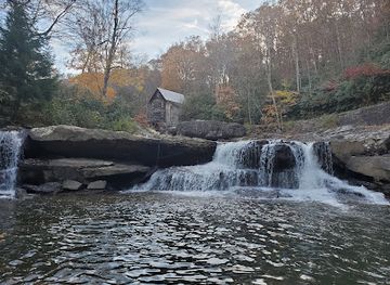
Babcock State Park
Experience the breathtaking landscapes and rich history of Babcock State Park, a premier destination for outdoor adventures in West Virginia.
-
State park
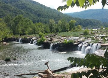
Pipestem Resort State Park
Experience the stunning natural beauty and endless outdoor activities at Pipestem Resort State Park in West Virginia, a true nature lover's paradise.
-
Tourist attraction
Camden Park
Experience the joy of rides and nature at Camden Park, a family-friendly amusement park in Huntington, West Virginia, perfect for all ages.
-
Scenic spot
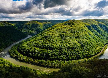
Main Overlook
Discover the breathtaking views of the New River Gorge at Grandview Main Overlook, a scenic gem in West Virginia's natural beauty.

Best landmarks in Hatfield-McCoy Mountains
Matewan's compact historic centre is among the region's most recognisable landmarks, with its association with the 1920 Matewan conflict and the wider Mine Wars giving the town national historical significance. The West Virginia Mine Wars Museum provides context for the people, labour disputes and law-enforcement tensions that shaped the coalfields. In Logan County, Blair Mountain is an important landscape of American labour history; its significance lies less in monumental architecture than in the ridges and valleys where the 1921 miners' march and battle unfolded. Bramwell's surviving historic houses and street plan recall the wealth created by coal operators and the town's former importance on the Norfolk and Western Railway. The Tug Fork valleys around Matewan and Williamson are geographical landmarks as well as cultural settings for the Hatfield-McCoy story. Coal tipple remains, mine-related structures, company-town layouts and courthouse buildings across the region form a dispersed industrial heritage, while the wooded ridgelines and deep river valleys provide the defining natural frame of each place.
-
Amusement park
Camden Park
Experience the joy of rides, games, and family fun in the heart of Huntington, West Virginia at Camden Park.
-
Off roading area
Hatfield-McCoy Trails
Discover the adventure of a lifetime at Hatfield-McCoy Trails, offering exhilarating off-roading experiences amidst stunning Appalachian landscapes.
-
Museum
Hatfield McCoy Historical Marker
Explore the Hatfield McCoy Historical Marker, a key site of America's legendary family feud in the heart of Kentucky's Appalachian mountains.
-
Historical landmark
Devil Anse Hatfield Homeplace Site
Discover the fascinating history of the Hatfield-McCoy feud at the Devil Anse Hatfield Homeplace Site, a remarkable historical landmark in West Virginia.


Explore Hatfield-McCoy Mountains on the map
Plan your trip on one map. See where the top cities, national parks and sights are, and book hotels and experiences in a few clicks.
Best hotels in Hatfield-McCoy Mountains
Best restaurants in Hatfield-McCoy Mountains
Dining in the Hatfield-McCoy Mountains is rooted in practical Appalachian cooking, family restaurants, cafés, diners and casual food served in small-town commercial districts. Menus commonly draw on the wider West Virginian tradition of biscuits, gravy, beans, cornbread, fried chicken, sandwiches and home-style vegetables, with local interpretations varying from one community to another. Coalfield towns also reflect the region's history of migration and industrial work, although there is no single dish that defines every valley. Trail-oriented visitors will find convenience food, barbecue and hearty breakfasts useful before a day outdoors, while parks and larger towns provide more varied meals. Farmers' markets and seasonal community events may offer produce, baked goods and preserves, but availability changes throughout the year. Craft beer and locally made products appear in parts of the region, yet the dominant dining character remains informal, generous and closely tied to independent local businesses rather than a formal restaurant circuit.
-
Steak
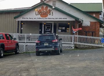
Cheetah B's
Discover Cheetah B's in Petersburg: where delectable steaks meet warm West Virginian hospitality.
-
Steak
River Town Prime Steakhouse & Grill
Discover exquisite flavors at River Town Prime Steakhouse & Grill - where premium steaks meet warm hospitality in Williamstown.
-
Restaurant
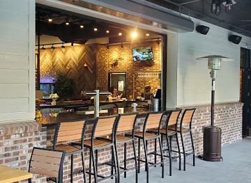
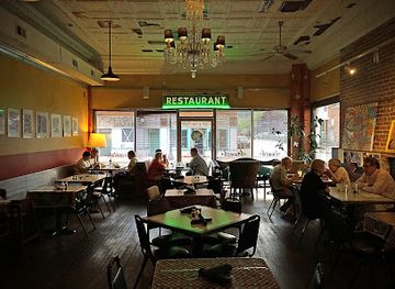
Bluegrass Kitchen
Discover Bluegrass Kitchen: A Charleston gem offering exquisite American cuisine in an artistic atmosphere with live music.
-
Resort hotel
Twin Hollow Campground and Cabins
Discover adventure at Twin Hollow Campground & Cabins - your gateway to West Virginia's natural beauty and thrilling ATV trails.

Best bars in Hatfield-McCoy Mountains
Evening life in the Hatfield-McCoy Mountains is centred on locally oriented restaurants, traditional bars, taverns, community events and occasional live music rather than a large nightclub scene. Logan, Williamson, Matewan and other county-seat communities provide the greatest concentration of evening choices, while smaller valleys may quiet down early. Historic town settings and trail-related weekends can bring a sociable after-dark atmosphere, but opening arrangements and entertainment vary considerably. Visitors may encounter country, bluegrass or regional live music at community venues and seasonal festivals, although events should be checked locally rather than assumed to run on a fixed schedule. Breweries and craft-drink establishments are present in the broader southern West Virginia travel area, but they are not evenly distributed across the mountain region. Plan a return journey in advance, particularly after drinking, because rural roads are winding, distances are long and rideshare availability is limited.
-
Off roading area
Hatfield-McCoy Trails
Experience the thrill of off-roading at Hatfield-McCoy Trails, where adventure meets the stunning beauty of the Appalachian Mountains.
-
Bar
Starters Grill
Discover the delightful Starters Grill in Williamson, WV, where local flavors meet a vibrant atmosphere for an unforgettable dining experience.
-
Restaurant
Trailhead Bar & Grill
Discover the local flavors of Matewan at the Trailhead Bar & Grill, where delicious food meets a warm, inviting atmosphere.
-
Country food restaurant
Tudor's Biscuit World
Experience the heart of Appalachia at Tudor's Biscuit World, where delicious biscuits and traditional American dishes await.


Best nightclubs in Hatfield-McCoy Mountains
Evening life in the Hatfield-McCoy Mountains is centred on locally oriented restaurants, traditional bars, taverns, community events and occasional live music rather than a large nightclub scene. Logan, Williamson, Matewan and other county-seat communities provide the greatest concentration of evening choices, while smaller valleys may quiet down early. Historic town settings and trail-related weekends can bring a sociable after-dark atmosphere, but opening arrangements and entertainment vary considerably. Visitors may encounter country, bluegrass or regional live music at community venues and seasonal festivals, although events should be checked locally rather than assumed to run on a fixed schedule. Breweries and craft-drink establishments are present in the broader southern West Virginia travel area, but they are not evenly distributed across the mountain region. Plan a return journey in advance, particularly after drinking, because rural roads are winding, distances are long and rideshare availability is limited.
-
Live Music
Purple Fiddle
Experience the heart of West Virginia's music scene at Purple Fiddle, where live performances meet a cozy bar atmosphere for a truly unique night out.
-
Hotel
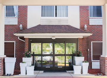
Holiday Inn Express & Suites Logan, an IHG Hotel
Discover the ideal blend of comfort and convenience at Holiday Inn Express & Suites Logan, your gateway to West Virginia's natural beauty and local attractions.
-
Bar
Stonewall
Discover the vibrant nightlife of Huntington, West Virginia at Stonewall, a lively bar known for its great drinks, entertainment, and welcoming atmosphere.
-
Bar
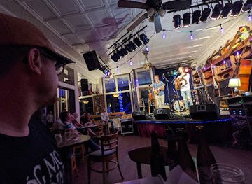
Troubadour Lounge and Park
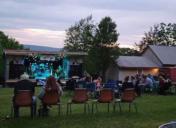
Discover the Troubadour Lounge and Park, a lively bar and music venue in Berkeley Springs, offering delicious food and unforgettable live performances.

Best shops in Hatfield-McCoy Mountains
-
Department store
Walmart Supercenter
Discover Walmart Supercenter in Huntington, WV - your ultimate destination for groceries, electronics, clothing, and more at unbeatable prices.
-
Department store
Walmart Supercenter
Explore Walmart Supercenter in Beckley, a diverse department store offering groceries, clothing, electronics, and more for a convenient shopping experience.
-
Shopping mall
Pullman Square
Explore the dynamic Pullman Square in Huntington, WV – a shopping haven filled with trendy stores, delicious dining, and vibrant entertainment options.
-
Discount store
Gabe's
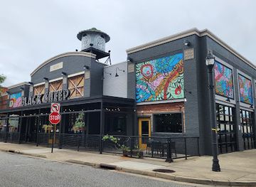
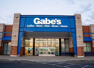
Explore Gabe's in Huntington, WV, where budget-friendly prices meet quality clothing and accessories for the entire family.


Get your free copy of our complete guide to Hatfield-McCoy Mountains, delivered straight to you.
Everything on this page, from attractions and restaurants to essentials and local phrases, in one PDF you can read offline, print or share.
Already have an account? Sign in
Your Hatfield-McCoy Mountains guide is ready.
We'll send it to · Not you? Sign out

Getting your guide ready…
We are putting together a fresh copy of the Hatfield-McCoy Mountains guide. This can take up to a minute.
This can take a few moments. If your browser asks, choose Allow so the download can start. You'll find the guide in your Downloads folder.
Nothing happened? Download it again
Sorry, the guide is taking longer than usual. Please try again in a minute, or get it by email instead.
Hatfield-McCoy Mountains essentials
Currency and Payment
Safety
Emergency Situations
Do's and Don'ts
Local Tips
From Eve
Local phrases worth knowing
You don't need to get them perfect. A few words go a long way, and locals appreciate the effort.
Basics
| English | Local | Say it |
|---|---|---|
| Hello | Howdy | [Haw-dee] |
| Goodbye | See ya | [See ya] |
| Yes | Yep | [Yep] |
| No | Naw | [Naw] |
| Please/You're welcome | Please | [Please] |
| Thank you | Thank ya | [Thank ya] |
| Excuse me/Sorry | Excuse me | [Excuse me] |
| How are you? | How ya doin'? | [How ya doin'?] |
| Fine. And you? | I’m good. And you? | [I’m good. An' you?] |
| Do you speak English? | Ya speakin' English? | [Ya speakin' English?] |
| I don't understand | I ain't followin' | [I ain't followin'] |
Eating & Drinking
| English | Local | Say it |
|---|---|---|
| I'd like to see the menu, please | Can I see the menu, please? | [Can I see th' menu, please?] |
| I don't eat meat | I don't eat no meat | [I don't eat no meat] |
| Cheers! | Cheers! | [Cheers!] |
| I would like to pay, please | I wanna pay, please | [I wanna pay, please] |
Emergencies
| English | Local | Say it |
|---|---|---|
| Help! | Help! | [Help!] |
| Go away! | Get outta here! | [Get outta here!] |
| Call the Police! | Call the cops! | [Call th' cops!] |
| Call a doctor! | Get a doctor! | [Get a doctor!] |
| I'm lost | I’m lost | [I’m lost] |
| I'm ill | I ain't feelin' good | [I ain't feelin' good] |
Shopping
| English | Local | Say it |
|---|---|---|
| I'd like to buy... | I wanna buy... | [I wanna buy...] |
| I'm just looking | I'm just browsin' | [I'm just browsin'] |
| How much is it? | How much fer that? | [How much fer that?] |
| That's too expensive | That’s a bit pricey | [That’s a bit pricey] |
| Can you lower the price? | Can ya bring it down some? | [Can ya bring it down some?] |
Time & Numbers
| English | Local | Say it |
|---|---|---|
| What time is it? | What time's it? | [What time's it?] |
| It's one o'clock | It's one o'clock | [It's one o'clock] |
| Half past (10) | Half past ten | [Half past ten] |
| Morning | Mornin' | [Mornin'] |
| Afternoon | Afternoon | [Afternoon] |
| Evening | Evenin' | [Evenin'] |
| Yesterday | Yesterday | [Yesterday] |
| Today | Today | [Today] |
| Tomorrow | Tomorrow | [Tomorrow] |
| 1 | One | [One] |
| 2 | Two | [Two] |
| 3 | Three | [Three] |
| 4 | Four | [Four] |
| 5 | Five | [Five] |
| 6 | Six | [Six] |
| 7 | Seven | [Seven] |
| 8 | Eight | [Eight] |
| 9 | Nine | [Nine] |
| 10 | Ten | [Ten] |
Transport & Directions
| English | Local | Say it |
|---|---|---|
| Where's a/the...? | Where's a...? | [Where's a...?] |
| What's the address? | What’s the address? | [What’s th' address?] |
| Can you show me (on the map)? | Can ya show me on th' map? | [Can ya show me on th' map?] |
| When's the next (bus)? | When's th' next bus? | [When's th' next bus?] |
| A ticket (to ....) | A ticket to... | [A ticket to...] |
History of Hatfield-McCoy Mountains
Indigenous Landscapes and Early Settlement
Long before coal became the region's defining industry, the valleys and ridges of southern West Virginia were used and travelled by Indigenous peoples, including communities connected with the wider Ohio Valley and central Appalachian world. Archaeological evidence across West Virginia records ancient settlement, hunting and movement along rivers and mountain passes. From the eighteenth century, European-American settlement expanded through the Tug Fork, Guyandotte River and Coal River watersheds. Small farms, timbering and trade developed in a landscape where steep terrain limited large-scale settlement and kept communities relatively dispersed.
The Hatfield-McCoy Feud, 1860s–1880s
The Hatfield-McCoy feud involved families living on opposite sides of the Tug Fork, with the Hatfields principally associated with West Virginia and the McCoys with Kentucky. Its violence grew from Civil War divisions, personal disputes, economic tensions and weak or contested local justice, rather than from a single cause. Matewan, the Tug Fork valley and surrounding communities are central to the story, which later became heavily mythologised in popular culture. Local museums, historic markers and guided heritage sites help place the feud within the social conditions of post-Civil War Appalachia.
Coal, Railways and Company Towns
Industrial coal mining expanded rapidly in southern West Virginia from the late nineteenth century as railways reached increasingly remote valleys and connected mines with national markets. Towns such as Logan, Williamson, Welch, Bramwell and numerous smaller settlements grew around mines, rail yards and company stores. Coal companies often controlled housing, services and commercial life, while immigrant and African-American workers contributed to the region's diverse labour force. The resulting landscape of tipples, coke ovens, churches, schools and tightly built valley towns remains one of the most visible historical legacies of the Hatfield-McCoy Mountains.
The Mine Wars and the Battle of Blair Mountain, 1921
Southern West Virginia was a major setting for the Mine Wars, a period of conflict between coal miners seeking union representation and companies supported by private security, court injunctions and local authorities. In 1921 thousands of armed miners marched through the coalfields, leading to the Battle of Blair Mountain in Logan County. Federal intervention ended the confrontation, but the struggle became a landmark in American labour history. The episode illustrates the dangerous working conditions, company control and political tensions that shaped the region, and it is interpreted through museums, memorials and heritage routes.
The Great Depression and Mechanisation
Coal communities faced severe hardship during the Great Depression, when falling demand and unemployment exposed the insecurity of a single-industry economy. Later mechanisation increased production while reducing the number of underground jobs, accelerating population loss and changing the structure of many towns. Rail transport declined as highways and trucks became more important, and some company settlements contracted or disappeared. The surviving courthouse towns, mine structures, cemeteries and worker neighbourhoods provide reminders of an industrial society that once extended deep into nearly every major valley.
Coal Heritage and Economic Change
From the later twentieth century, declining coal employment encouraged communities to preserve local history while seeking new economic roles. Museums such as the West Virginia Mine Wars Museum in Matewan interpret labour and community history, while the West Virginia Coal Heritage Area links sites across the southern coalfields. State parks, heritage tourism, scenic driving and outdoor recreation have become increasingly important complements to remaining industrial activity. The Hatfield-McCoy Trails, established as a large-scale recreational network, reflect this continuing effort to connect the region's mountain landscape with contemporary visitors.
Hatfield-McCoy Mountains in Photos
Browse through our photo collection highlighting the charm and character of the destination.
Neighbouring regions of Hatfield-McCoy Mountains
The closest regions to Hatfield-McCoy Mountains, if you have time for more than one.
-

-

-

-

-
 Eastern Panhandle
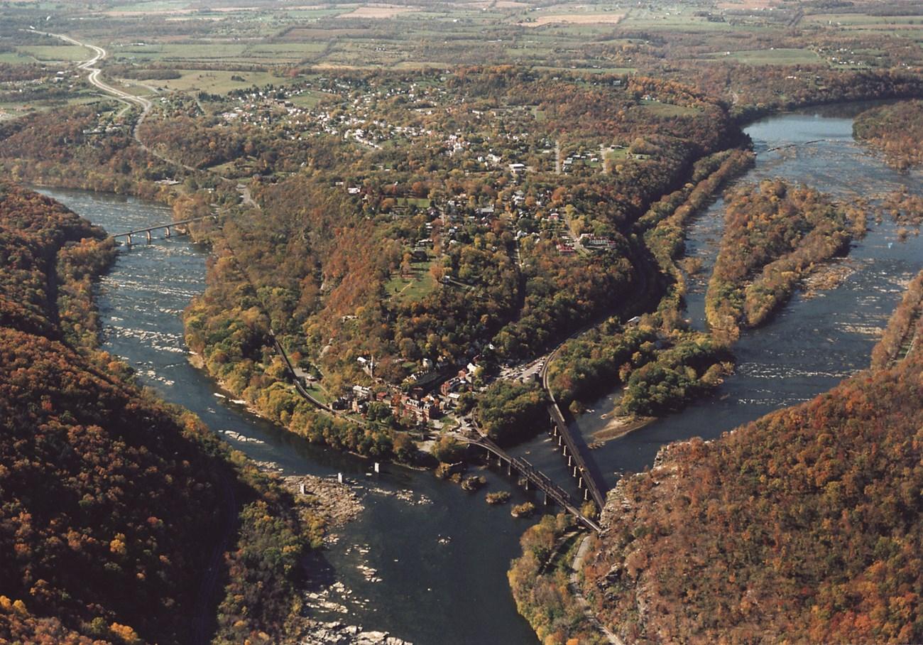
Explore West Virginia’s Eastern Panhandle for Harpers Ferry history, Berkeley Springs, historic towns, river landscapes and Appalachian outdoor adventures.


Swipe for more regions
Explore more

Explore more of West Virginia
Discover West Virginia's natural beauty, historic charm, and outdoor adventures in the heart of the Appalachian Mountains.
Explore West Virginia