

Free Lake Superior Lowland Travel Guide & Mobile App
Explore Lake Superior Lowland with free travel guides. Discover regional history, expert tips, proposed trips, and audio guides on web or mobile app.


Explore Wisconsin’s Lake Superior Lowland for Ojibwe heritage, working harbours, sandstone shores, orchards, forests and the Apostle Islands.
Getting to and around Lake Superior Lowland
How to get there
Transportation
Destinations in Lake Superior Lowland
Resorts, valleys and scenic spots worth a trip of their own.
-
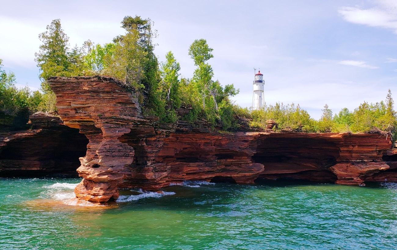 Apostle Islands
 in Wisconsin’s Lake Superior offer sea caves, lighthouses, kayaking, sailing, islands, wildlife and memorable coastal walks.
-

-
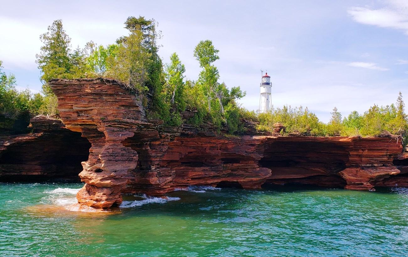 Bayfield
Explore Bayfield, Wisconsin: A scenic lakeside town offering outdoor adventures, historic charm, and a vibrant arts scene on the shores of Lake Superior.
-
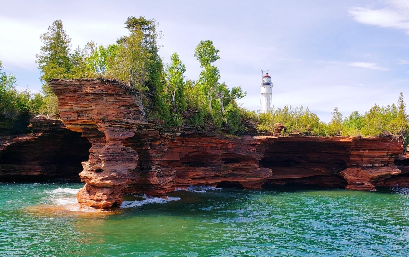 Apostle Islands National Lakeshore
 in Wisconsin offers Lake Superior sea caves, historic lighthouses, island camping, kayaking and winter ice formations.

Swipe for more destinations
Best attractions in Lake Superior Lowland
The Lake Superior Lowland offers a varied combination of protected shoreline, maritime history and outdoor recreation. Apostle Islands National Lakeshore is the region’s best-known attraction, with a scattered archipelago of forested islands, beaches, sandstone sea caves and historic lighthouses; access is chiefly by private boat, guided excursion or kayak, and conditions can change quickly. On the mainland, Wisconsin Point near Superior provides beaches, dunes, bird habitat and long views across the lake, while the Superior waterfront reveals the scale of a working Great Lakes port. Bayfield’s galleries, museums, harbour and nearby orchards create a different experience, centred on small-town maritime and agricultural life. Around Washburn and Ashland, visitors can combine shoreline walks and cultural sites with views across Chequamegon Bay. State and county parks, forest roads, cycling routes, snowshoe trails and cross-country skiing extend inland into woodland and glacial country. Wildlife watching is rewarding along beaches, wetlands and forest edges, but the region’s attractions are weather-dependent and many remote sites require self-sufficiency.
-
State park
Gooseberry Falls State Park
Explore the breathtaking landscapes of Gooseberry Falls State Park, where stunning waterfalls and scenic trails create an unforgettable outdoor adventure.
-
State park
Pattison State Park
Experience the stunning landscapes and recreational activities at Pattison State Park, Wisconsin's natural gem with majestic waterfalls and serene trails.
-
State park
Big Bay State Park
Experience the tranquility and beauty of Big Bay State Park on Madeline Island, where nature awaits with breathtaking landscapes and outdoor adventures.
-
Tourist attraction
Apostle Islands National Lakeshore
Explore Apostle Islands National Lakeshore: A Natural Wonderland of Sea Caves, Scenic Trails, and Rich History on Lake Superior.


Best landmarks in Lake Superior Lowland
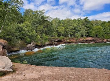
Wisconsin Point is one of the region’s most recognisable natural and maritime landmarks: a long sand peninsula at the western end of Lake Superior that helps shelter the entrance to the Duluth–Superior harbour. In Bayfield, the historic waterfront and the ferry approach to Madeline Island express the town’s role as a gateway to the islands and a former centre of regional trade. The Apostle Islands’ lighthouses are the most distinctive built landmarks offshore, including structures associated with navigation through the western Great Lakes; their settings range from forested islands to exposed cliffs and beaches. The red sandstone shoreline around the Bayfield Peninsula and Chequamegon Bay is a defining geological feature, shaped by erosion and glacial history. Superior’s breakwaters, docks and port infrastructure provide a contrasting industrial landmark landscape, while Ashland’s lakefront setting and historic civic fabric reflect the development of a nineteenth-century timber and shipping town. Together these places show the region’s central themes: Indigenous presence, navigation, industry, geology and changing relationships with Lake Superior.
-
Tourist attraction
The House on the Rock
Discover the extraordinary at The House on the Rock in Spring Green, Wisconsin - a unique tourist attraction filled with whimsical architecture and captivating collections.
-
State park
Copper Falls State Park
Discover the breathtaking beauty of Copper Falls State Park, where stunning waterfalls and scenic trails await nature lovers and outdoor adventurers.
-
State park
Amnicon Falls State Park
Experience the breathtaking waterfalls and scenic beauty of Amnicon Falls State Park, a hidden gem in Wisconsin for nature lovers and adventure seekers.
-
State park
Pattison State Park
Explore the beauty of Pattison State Park in Wisconsin, home to stunning waterfalls, lush landscapes, and endless outdoor adventures for nature lovers.


Explore Lake Superior Lowland on the map
Plan your trip on one map. See where the top cities, national parks and sights are, and book hotels and experiences in a few clicks.
Best hotels in Lake Superior Lowland
Best restaurants in Lake Superior Lowland
Dining in the Lake Superior Lowland reflects its shore, forests and farms. Lake trout and whitefish are longstanding local foods, appearing smoked, fried or prepared in contemporary ways, while wild rice, berries, apples and seasonal vegetables connect menus with northern Wisconsin’s Indigenous and agricultural traditions. Bayfield and the Chequamegon Bay communities offer cafés, bakeries, pubs and restaurants suited to visitors, with orchards and farm stands adding a strong seasonal dimension during the warmer months. Superior and Ashland provide the broadest choice of everyday dining, including American, Scandinavian-influenced and contemporary cooking alongside familiar Wisconsin fare. Fish markets and roadside produce sellers can be as representative of the area as sit-down restaurants. Menus vary considerably between the summer visitor season and the quieter winter months, and rural establishments may be separated by substantial distances, so plan meals around driving routes rather than assuming continuous dining options.
-
Fine Dining
Ishnala Supper Club
Experience exquisite fine dining at Ishnala Supper Club with breathtaking lakeside views and exceptional seafood and steak dishes.
-
Casino
Lake of the Torches Resort Casino
Discover thrills at Lake of the Torches Resort Casino in Wisconsin - where gaming meets comfort amidst stunning natural beauty.
-
Bar
Manypenny Bistro
Discover the culinary delights at Manypenny Bistro in Bayfield – where cozy atmosphere meets delicious food.
-
Brewpub
Iron Nugget
Discover the flavors of Hurley at Iron Nugget Brewpub – where craft beer meets delicious food in a cozy setting.



Best bars in Lake Superior Lowland
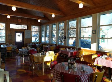
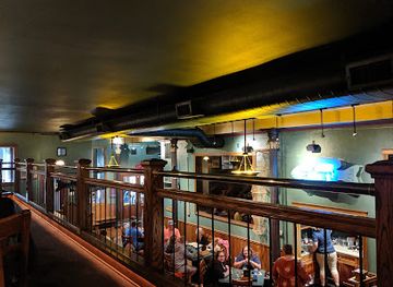
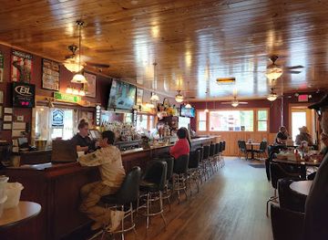
Evening life is generally low-key and community-based rather than centred on a large nightclub scene. Superior has the broadest urban selection, including neighbourhood bars, breweries, live music and casual restaurants, while Ashland and Bayfield offer pubs, taverns, wine or cocktail-oriented spaces and occasional performances. In smaller places such as Washburn, Cornucopia and Port Wing, traditional bars and restaurant lounges are more characteristic than late-night clubs. Summer brings the greatest concentration of evening activity, particularly around Bayfield’s harbour and visitor economy, whereas winter nights are quieter and more local in character. Breweries and taprooms provide a social alternative to spirits-led nightlife, and some cultural venues host music or theatre. Opening arrangements and entertainment programmes change seasonally, so check locally rather than expecting late service in rural communities.
-
Fine Dining
Deep Water Grille
Experience the finest dining at Deep Water Grille in Ashland, WI, where local flavors meet stunning waterfront views for an unforgettable meal.
-
Grill
Patsy’s Bar & Grill
Experience the charm of Patsy’s Bar & Grill in Washburn, where delicious grilled dishes and a friendly atmosphere await you.
-
Bar
Tom's Burned Down Cafe
Discover the charm of Tom's Burned Down Cafe, a unique dive bar in La Pointe, Wisconsin, celebrated for its vibrant atmosphere and local brews.
-
 Grill
Beach Club on Madeline Island
Experience the beauty and flavors of the Beach Club on Madeline Island, where great food meets stunning lake views in a casual, friendly atmosphere.

Best nightclubs in Lake Superior Lowland
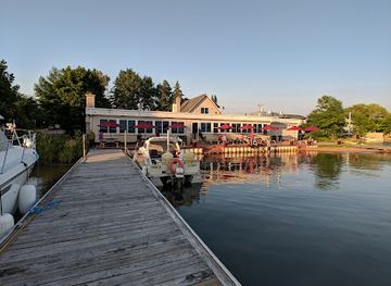
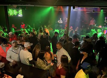
Evening life is generally low-key and community-based rather than centred on a large nightclub scene. Superior has the broadest urban selection, including neighbourhood bars, breweries, live music and casual restaurants, while Ashland and Bayfield offer pubs, taverns, wine or cocktail-oriented spaces and occasional performances. In smaller places such as Washburn, Cornucopia and Port Wing, traditional bars and restaurant lounges are more characteristic than late-night clubs. Summer brings the greatest concentration of evening activity, particularly around Bayfield’s harbour and visitor economy, whereas winter nights are quieter and more local in character. Breweries and taprooms provide a social alternative to spirits-led nightlife, and some cultural venues host music or theatre. Opening arrangements and entertainment programmes change seasonally, so check locally rather than expecting late service in rural communities.
-
Casino
Legendary Waters Resort & Casino
Discover the perfect blend of gaming, relaxation, and entertainment at Legendary Waters Resort & Casino, located on the stunning shores of Lake Superior.
-
Live Music
Big Top Chautauqua - Concert Venue
Experience the magic of live performances at Big Top Chautauqua, the premier concert venue in Bayfield, Wisconsin, surrounded by stunning natural beauty.
-
Grill
Beach Club on Madeline Island
Experience the flavors of Madeline Island at Beach Club, where delicious grilling meets stunning views in a relaxed atmosphere.
-
Night club
XS Nightclub
Experience Green Bay's nightlife at XS Nightclub, where electrifying music, vibrant energy, and unforgettable memories await you.


Best shops in Lake Superior Lowland
Shopping is concentrated in the region’s small towns rather than large retail districts. Bayfield has the strongest visitor-oriented selection, with galleries, bookshops, craft outlets, clothing shops and businesses selling orchard products, preserves, sweets and other regional foods. Washburn and Ashland combine independent retailers, cafés, galleries and practical services with seasonal markets, while Superior offers the widest everyday choice and larger national retailers. Farm stands and orchard shops on the Bayfield Peninsula are useful for apples, berries, preserves and locally produced goods when in season. Visitors may also find lake-themed art, pottery, woodwork, textiles and books about Ojibwe culture, maritime history and the Apostle Islands. Buy cultural products thoughtfully and favour clearly identified, authentic work. Rural markets and small shops may operate seasonally, and many communities are better suited to browsing local businesses and food producers than to extensive fashion or luxury shopping.
-
Sporting goods store
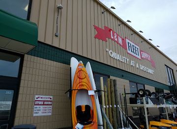
L&M Fleet Supply
Discover all your adventure and home improvement needs at L&M Fleet Supply in Ashland, Wisconsin, offering a versatile range of products for every traveler.
-
Gift shop
Lake Superior Trading Post
Explore the charm of Lake Superior Trading Post, a unique gift shop in Grand Marais, MN, offering local crafts and outdoor essentials.
-
Gift shop
The Shops At Woodlake Kohler
Discover unique boutiques and quality gifts at The Shops At Woodlake Kohler, a charming shopping destination in scenic Wisconsin.
-
Sporting goods store
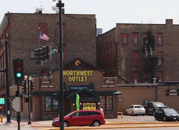
Northwest Outlet
Explore the best sporting goods and outdoor gear at Northwest Outlet in Superior, Wisconsin - your hub for adventure and athletic apparel.

Get your free copy of our complete guide to Lake Superior Lowland, delivered straight to you.
Everything on this page, from attractions and restaurants to essentials and local phrases, in one PDF you can read offline, print or share.
Already have an account? Sign in
Your Lake Superior Lowland guide is ready.
We'll send it to · Not you? Sign out

Getting your guide ready…
We are putting together a fresh copy of the Lake Superior Lowland guide. This can take up to a minute.
This can take a few moments. If your browser asks, choose Allow so the download can start. You'll find the guide in your Downloads folder.
Nothing happened? Download it again
Sorry, the guide is taking longer than usual. Please try again in a minute, or get it by email instead.
Lake Superior Lowland essentials
Currency and Payment
Safety
Emergency Situations
Do's and Don'ts
Local Tips
From Eve
Local phrases worth knowing
You don't need to get them perfect. A few words go a long way, and locals appreciate the effort.
Basics
| English | Local | Say it |
|---|---|---|
| Hello | Boozhoo | [Boo-zhoo] |
| Goodbye | Miigwech | [Mee-gwetch] |
| Yes | Ee | [Ee] |
| No | Aaniin | [Ah-nee] |
| Please/You're welcome | Miigwech | [Mee-gwetch] |
| Thank you | Miigwech | [Mee-gwetch] |
| Excuse me/Sorry | Gegoo | [Ge-goo] |
| How are you? | Aaniin ezhi-ayaayan? | [Ah-nee-eh-zhih-ah-yah-n?] |
| Fine. And you? | Nimaamaa, aaniin ezhi-ayaayan? | [Nee-mah-mah, Ah-nee-eh-zhih-ah-yah-n?] |
| Do you speak English? | Gaa-ikidowin English? | [Gah-ee-kee-doh-win Eng-lish?] |
| I don't understand | Niin gaa-nagidota | [Nee-in gah-nah-gee-doh-tah] |
Eating & Drinking
| English | Local | Say it |
|---|---|---|
| I'd like to see the menu, please | Niin gii-wiijiiwaad menu, miigwech | [Nee-in gii-wee-ji-wahd men-oo, mee-gwetch] |
| I don't eat meat | Niin gii-nagidotaan miinawaa | [Nee-in gii-nah-gee-doh-tan mee-nah-wah] |
| Cheers! | Naadamaag | [Nah-dah-mahg] |
| I would like to pay, please | Niin gii-wiijiiwaad naakii'ii, miigwech | [Nee-in gii-wee-ji-wahd nah-kee-ee, mee-gwetch] |
Emergencies
| English | Local | Say it |
|---|---|---|
| Help! | Aaniin! | [Ah-nee-in!] |
| Go away! | Aaniin gii-bagidowin! | [Ah-nee-in gii-bah-gee-doh-win!] |
| Call the Police! | Gaa-ikidowin Police! | [Gah-ee-kee-doh-win Po-lees!] |
| Call a doctor! | Gaa-ikidowin daktari! | [Gah-ee-kee-doh-win dahk-tah-ree!] |
| I'm lost | Niin gii-nagidota | [Nee-in gii-nah-gee-doh-tah] |
| I'm ill | Niin gii-wiijiiwaad gii-nagidota | [Nee-in gii-wee-ji-wahd gii-nah-gee-doh-tah] |
Shopping
| English | Local | Say it |
|---|---|---|
| I'd like to buy... | Niin gii-wiijiiwaad ... | [Nee-in gii-wee-ji-wahd ...] |
| I'm just looking | Niin gii-zhichigewin | [Nee-in gii-zih-chee-geh-win] |
| How much is it? | Aaniin gii-zhichigewin? | [Ah-nee-in gii-zih-chee-geh-win?] |
| That's too expensive | Ishkode gii-zhichigewin | [Ish-koh-day gii-zi-chee-geh-win] |
| Can you lower the price? | Gaa-ikidoon gii-zhichigewin? | [Gah-ee-kee-doh-n gii-zi-chee-geh-win?] |
Time & Numbers
| English | Local | Say it |
|---|---|---|
| What time is it? | Aaniin gii-wiijiwa? | [Ah-nee-in gii-wee-ji-wah?] |
| It's one o'clock | Gii-wiijiwa niso | [Gii-wee-ji-wah nee-so] |
| Half past (10) | Niswi gii-nagidota | [Nih-swee gii-nah-gee-doh-tah] |
| Morning | Zhawaan | [Zhaw-ahn] |
| Afternoon | Niswi-gikendaasowin | [Nih-swee-gee-ken-dah-so-win] |
| Evening | Niiwin | [Nee-win] |
| Yesterday | Gii-nagidota | [Gee-nah-gee-doh-tah] |
| Today | Niin gii-nagidota | [Nee-in gii-nah-gee-doh-tah] |
| Tomorrow | Niin gii-nagidota | [Nee-in gii-nah-gee-doh-tah] |
| 1 | Nis | [Nis] |
| 2 | Nii | [Nee] |
| 3 | Niswi | [Nis-wee] |
| 4 | Niiwin | [Nih-win] |
| 5 | Naan | [Naan] |
| 6 | Niswi-nan | [Nis-wee-nan] |
| 7 | Niswi-nis | [Nis-wee-nis] |
| 8 | Niswi-nan | [Nis-wee-nan] |
| 9 | Niswi-ingodwa | [Nis-wee-ing-oh-dwah] |
| 10 | Niswi-nis | [Nis-wee-nis] |
Transport & Directions
| English | Local | Say it |
|---|---|---|
| Where's a/the...? | Aaniin gii-wiijiiwaad ...? | [Ah-nee-in gii-wee-ji-wahd ...?] |
| What's the address? | Aaniin gii-wiijiiwaad gii-zhichigewin? | [Ah-nee-in gii-wee-ji-wahd gii-zih-chee-geh-win?] |
| Can you show me (on the map)? | Gaa-ikidoon gii-wiijiiwaad (gii-zhichigewin)? | [Gah-ee-kee-doh-n gii-wee-ji-wahd (gii-zih-chee-geh-win)?] |
| When's the next (bus)? | Aaniin gii-wiijiiwaad gii-bagidowin? | [Ah-nee-in gii-wee-ji-wahd gii-bah-gee-doh-win?] |
| A ticket (to ....) | Gii-zhichigewin (gii-...) | [Gii-zih-chee-geh-win (gii-...)] |
History of Lake Superior Lowland
Ojibwe Homeland and Treaty Rights
The Lake Superior shore is part of the historic homeland of the Ojibwe, also known as Anishinaabe, whose communities developed extensive networks of fishing, hunting, gathering and travel across the lake and surrounding forests. In the nineteenth century, the United States negotiated treaties that ceded large areas while reserving important rights for Ojibwe communities. The 1854 Treaty of La Pointe is especially significant in northern Wisconsin. Today, the Red Cliff and Bad River Bands remain central to the region’s cultural and political life, and treaty-protected harvesting rights continue to shape public understanding of land and water.
Fur Trade and Early Colonial Contact
European commercial activity reached the Lake Superior country through the fur trade, which connected Indigenous trading networks with French and later British merchants. La Pointe, on Madeline Island, became an important nineteenth-century centre for trade, mission activity and regional administration. The island’s location at the entrance to Chequamegon Bay made it a strategic point for movement around the western lake. These relationships brought new goods, religious institutions and political pressures, while also contributing to disease, dependency and the disruption of Indigenous life.
American Settlement and Wisconsin Statehood
After Wisconsin became a state in 1848, federal land policy and expanding commercial interests accelerated non-Indigenous settlement along the northern shore. Bayfield, Ashland and Superior developed as centres of trade, administration and transport, while smaller communities served fishing, farming and timber operations. The establishment of reservations and the reservation of Indigenous rights formed part of the same contested process. Early town plans and surviving civic buildings reveal how the coast was incorporated into the developing economic and political structure of the United States.
Lumber and Forest Industries
From the mid-nineteenth century into the early twentieth century, logging became one of northern Wisconsin’s dominant industries. Timber moved from inland forests towards sawmills, rail lines and Lake Superior ports, where it could be shipped to growing cities. The industry created employment and settlements but also transformed forests, waterways and Indigenous lands. As old-growth supplies declined, the region experienced economic change, forest regeneration and a gradual shift towards managed woodlands, tourism, fishing and public conservation.
Lake Superior Shipping and Port Development
Superior and the harbours around Chequamegon Bay became part of the Great Lakes transport system, linking Wisconsin’s north shore with larger commercial centres. Railways and docks strengthened the movement of timber, grain, coal and iron ore, while shipbuilding and repair supported the maritime economy. Superior’s position at the western end of the lake gave it particular importance as a port and transfer point. Harbour structures, breakwaters, elevators and working waterfronts remain visible reminders that the region was built not only for recreation but also for heavy industry and shipping.
Fishing, Farming and Commercial Orchards
Commercial fishing has long been part of life on Lake Superior, with lake trout, whitefish and other species supporting Indigenous and non-Indigenous communities. Farming developed where soils and climate permitted, while the Bayfield Peninsula became known for apples, berries and other orchard crops. These activities were shaped by short growing seasons, lake moderation and hard winters. Although the scale of commercial production has changed, fish markets, farm stands, orchards and seasonal produce continue to connect modern visitors with the region’s working landscape.
Conservation and the Growth of Lake Tourism
During the twentieth century, public concern for forests, shorelines and historic maritime sites helped establish a stronger conservation culture. Apostle Islands National Lakeshore was created in 1970, protecting a remarkable collection of islands, beaches, lighthouses and coastal habitats. State parks, forests and local preservation efforts broadened the region’s appeal beyond shipping and industry. Tourism now supports accommodation, guiding, boating, cycling and cultural institutions, but the protected coast also reflects an effort to retain ecological and historic values in a heavily used Great Lakes landscape.
Lake Superior Lowland in Photos
Browse through our photo collection highlighting the charm and character of the destination.
Neighbouring regions of Lake Superior Lowland
The closest regions to Lake Superior Lowland, if you have time for more than one.
-

-

-
-

-


Swipe for more regions
Explore more

Explore more of Wisconsin
Discover Wisconsin: A Midwestern gem offering stunning natural landscapes, rich cultural experiences, and a taste of America's finest dairy products.
Explore Wisconsin