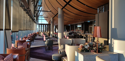
Discover Australia's Topographic Marvel
Experience the breathtaking topography of Australia at this historical landmark in Lawson, New South Wales, a must-visit for every traveler.
Embark on an unforgettable journey to the topographic map of Australia, a historical landmark nestled in Lawson, New South Wales. This unique site serves as a testament to the breathtaking natural beauty and diverse landscapes of Australia, inviting visitors to explore its geographical intricacies and rich history.
A brief summary to Topographic map of Australia
- Lawson, New South Wales, 2783, AU
Local tips
- Visit early in the morning or late in the afternoon for the best lighting for photography.
- Bring a picnic to enjoy at the scenic spots surrounding the map.
- Consider a guided tour to gain deeper insights into the historical significance of the location.
Getting There
-
Car
If you are driving from Sydney, take the M4 Motorway towards Penrith. Continue on the M4 until you reach the exit for the Great Western Highway (A32). Follow the Great Western Highway through the Blue Mountains region, enjoying the scenic views. After approximately 80 kilometers, you will reach Lawson. Once in Lawson, follow local signs to find the Topographic map of Australia located at the coordinates -33.7188439, 150.4257244. There is ample parking available on the streets surrounding the area.
-
Public Transportation
To reach Lawson via public transport, take a train from Sydney's Central Station on the Blue Mountains Line. Trains run regularly, so check the current schedule. The journey should take about 1.5 to 2 hours. Disembark at Lawson Station. From the station, it's approximately a 15-minute walk to the Topographic map location. Head south on Honour Avenue, then turn left onto Great Western Highway (A32) and continue straight until you reach the coordinates -33.7188439, 150.4257244. Make sure to check the return train schedule to plan your trip back.
-
Taxi or Rideshare
If you prefer a more direct route, consider using a taxi or rideshare service like Uber from your location in Western New South Wales to Lawson. The cost will vary based on your starting point, but expect to pay around AUD 100-200 for a ride from Sydney. The driver should be familiar with the area and can take you directly to the coordinates -33.7188439, 150.4257244.
Discover more about Topographic map of Australia
Iconic landmarks you can’t miss
Topographic map of Australia
0.0 km
Experience the breathtaking topography of Australia at this historical landmark in Lawson, New South Wales, a must-visit for every traveler.
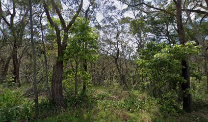
Ask Roz Blue Mountains
4.7 km
Discover the Blue Mountains' secrets at Ask Roz, your essential tourist information center for adventure and exploration.

Wentworth Falls
4.9 km
Experience breathtaking views and cascading waterfalls in the heart of the Blue Mountains at Wentworth Falls.
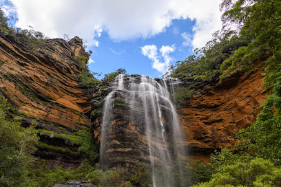
Blue Mountains Historical Society
5.3 km
Explore the captivating history of the Blue Mountains at the Blue Mountains Historical Society, where heritage and culture come alive.
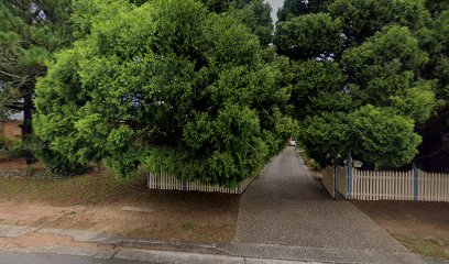
Glenbrook Creek
7.4 km
Discover the serene beauty of Glenbrook Creek in New South Wales, a seasonal river perfect for swimming and relaxation in nature's wonderland.
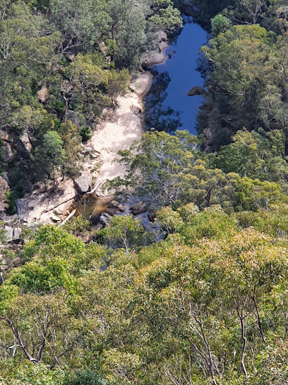
Golf Links Lookout
8.4 km
Experience the stunning views of the Blue Mountains at Golf Links Lookout, a must-visit scenic spot in New South Wales, Australia.
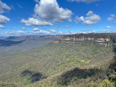
Leura Cascades Picnic Area
9.6 km
Escape to Leura Cascades: Waterfalls, birdlife, and scenic walks in the heart of the Blue Mountains.
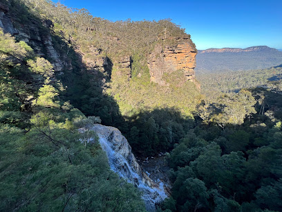
Minnehaha Falls
10.1 km
Discover the enchanting beauty of Minnehaha Falls in the breathtaking Blue Mountains, where nature's splendor awaits every visitor.
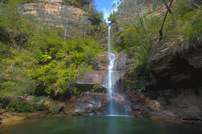
Cliff View Lookout
11.2 km
Discover the stunning vistas of Blue Mountains at Cliff View Lookout, a must-visit scenic spot in Katoomba, New South Wales.
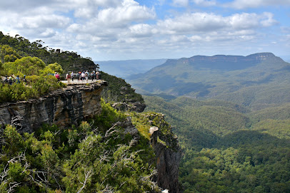
Grand Canyon Walking Track
12.4 km
Hike through a stunning canyon in the Blue Mountains, featuring waterfalls, lush rainforest, and dramatic rock formations. A historic and unforgettable experience.
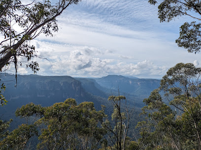
Ruined Castle walking track
13.4 km
Explore the breathtaking Ruined Castle walking track in the Blue Mountains National Park, a perfect hiking destination for nature lovers and adventure seekers.
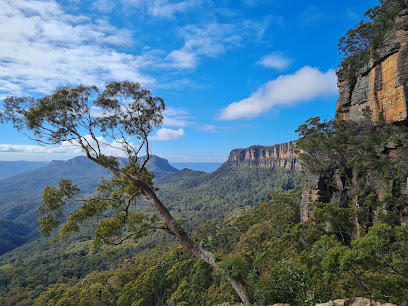
Blue Gum Forest
13.5 km
Explore the serene Blue Gum Forest, a natural wonder in Blue Mountains National Park, where history and nature beautifully intertwine.
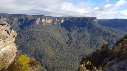
Pulpit Rock Lookout
14.1 km
Experience breathtaking panoramic views of the Grose Valley from the iconic Pulpit Rock Lookout in the Blue Mountains National Park.
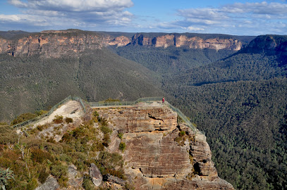
Barrow Lookout
14.2 km
Discover panoramic views of the Grose Valley at Barrow Lookout, a serene escape in the Blue Mountains near Blackheath, NSW.
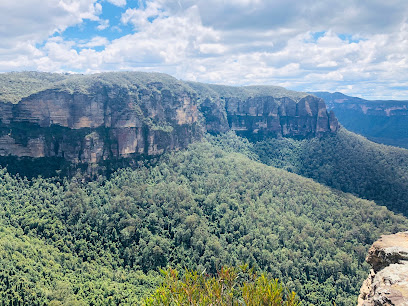
Bridal Veil Falls
14.2 km
Experience the captivating beauty of Bridal Veil Falls in the Blue Mountains, a breathtaking destination for nature lovers and adventure seekers alike.
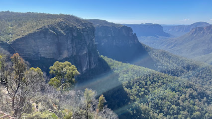
Unmissable attractions to see
Adelina Falls
1.4 km
Discover the beauty of Adelina Falls, an easily accessible and picturesque waterfall in the Blue Mountains' South Lawson Waterfall Circuit.
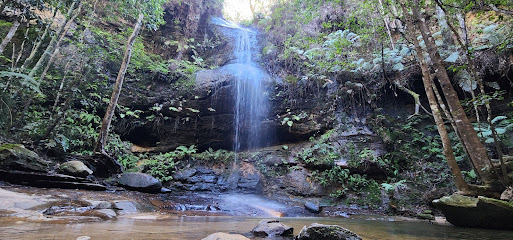
Horseshoe Falls walking track
2.7 km
Explore the stunning Horseshoe Falls Walking Track in Hazelbrook, NSW, a perfect hiking destination for nature lovers and adventure seekers.
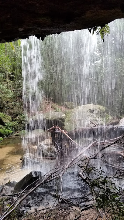
Hazel Falls
4.4 km
Explore the breathtaking Hazel Falls in the Blue Mountains National Park, where stunning landscapes and tranquil waterfalls await nature lovers.
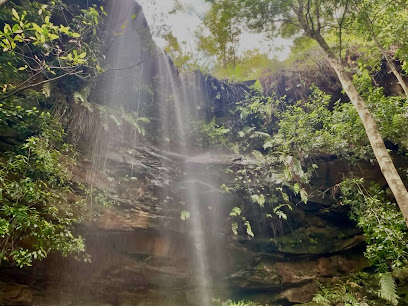
Mabel Falls
4.7 km
Discover the serene beauty of Mabel Falls in the Blue Mountains, a perfect nature escape with accessible walking trails and tranquil waterfalls.
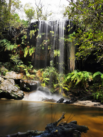
Edith Falls
4.8 km
Explore the breathtaking beauty of Edith Falls, a serene escape in the Blue Mountains National Park, perfect for nature lovers and adventurers.
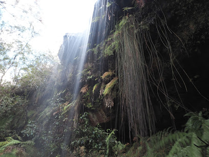
Fletchers Lookout
4.9 km
Experience the breathtaking views of Fletchers Lookout in Blue Mountains National Park, a serene spot perfect for nature lovers and photographers.
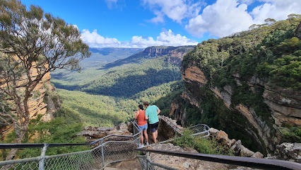
Darwins walk
4.9 km
Experience the natural beauty and tranquility of Darwins Walk, a scenic trail in Wentworth Falls, perfect for all nature lovers and adventure seekers.
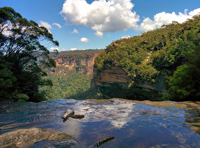
Wentworth Falls tracks Lookout
5.0 km
Experience the awe-inspiring Wentworth Falls Lookout in New South Wales, where stunning vistas and nature's tranquility await every visitor.
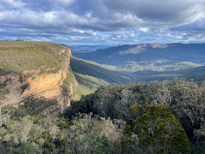
Jamison Lookout
5.3 km
Experience the breathtaking vistas of Jamison Lookout, a scenic gem in the Blue Mountains, perfect for nature lovers and photographers.
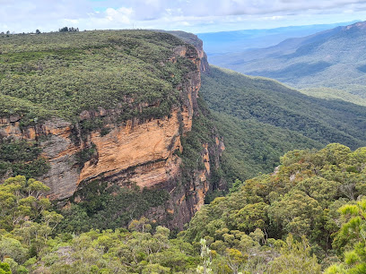
Wentworth Pass loop walking track
5.3 km
Explore the breathtaking Wentworth Pass Loop Walking Track, a scenic trail in New South Wales that reveals stunning waterfalls and lush landscapes.
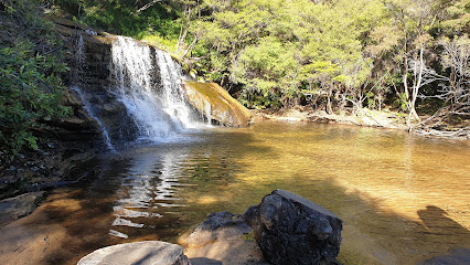
Overcliff-Undercliff track
5.3 km
Explore the breathtaking Overcliff-Undercliff Track in Wentworth Falls, a stunning hiking trail showcasing the natural beauty of Australia's Blue Mountains.
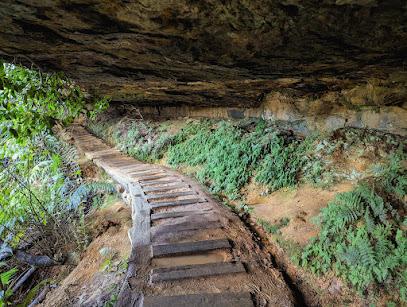
National Pass
5.3 km
Explore the breathtaking National Pass in Wentworth Falls, a picturesque walking track showcasing stunning waterfalls and incredible views in the Blue Mountains.
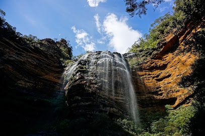
Lincoln's Rock
5.5 km
Discover breathtaking views of the Blue Mountains at Lincoln's Rock, a must-visit attraction for nature lovers and adventure seekers in Wentworth Falls.
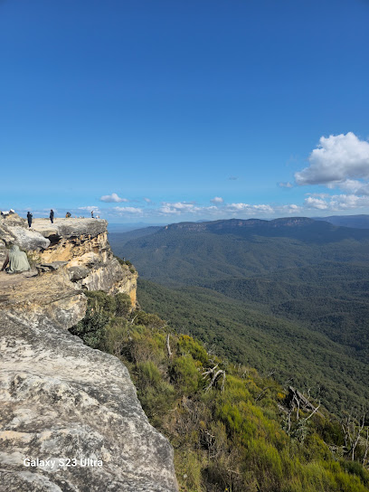
Sylvia Falls
6.1 km
Experience the breathtaking beauty of Sylvia Falls in the Blue Mountains, a must-visit natural wonder for every traveler exploring New South Wales.
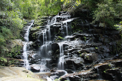
Nature track
6.1 km
Discover the natural beauty of Nature Track in Wentworth Falls, a stunning walking trail showcasing breathtaking landscapes and rich biodiversity.
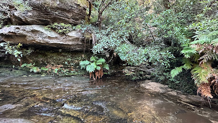
Essential places to dine
Fed Blue Mountains
4.7 km
Experience delightful dining at Fed Blue Mountains Cafe in Wentworth Falls - perfect for tourists exploring New South Wales' stunning landscapes.
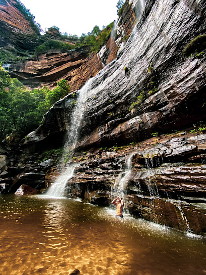
Conservation Hut Cafe (Under New Management)
5.8 km
Experience the best breakfast and coffee at Conservation Hut Cafe, nestled in Wentworth Falls amidst stunning Blue Mountains scenery.
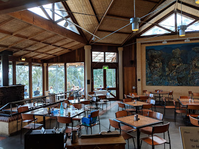
Embers Grill Restaurant
7.1 km
Experience exceptional dining at Embers Grill Restaurant in Leura, where fresh flavors meet stunning views for an unforgettable culinary journey.

Madame Wang's Restaurant
8.8 km
Experience authentic Asian cuisine at Madame Wang's Restaurant in Leura—where every dish tells a story.
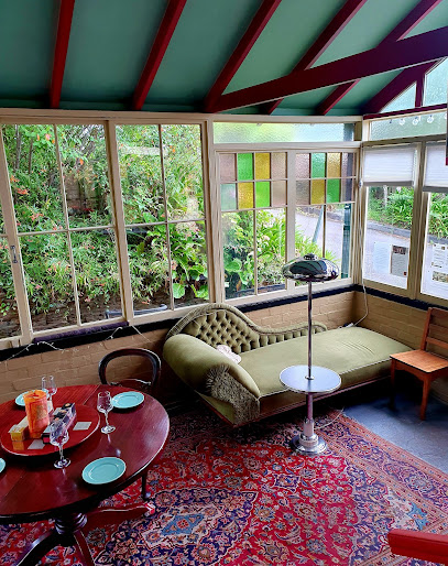
Polar Bear Of Leura
8.8 km
Experience delightful dining at Polar Bear of Leura—where local flavors meet exceptional service in a charming atmosphere.
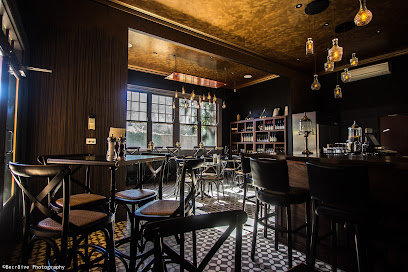
The Bunker - Leura
8.8 km
Discover the culinary delights of The Bunker in Leura - where fine dining meets cozy café charm amidst stunning Blue Mountains scenery.
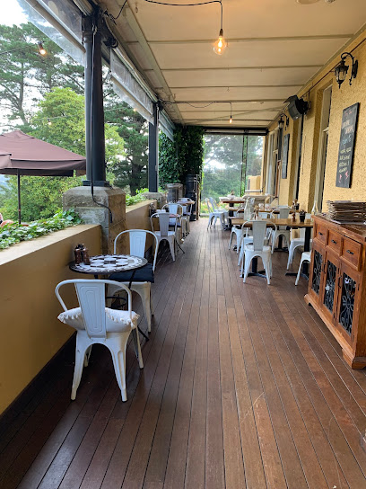
Jamison Views Restaurant
10.2 km
Experience breathtaking views and exquisite local cuisine at Jamison Views Restaurant in Katoomba, where every meal is a feast for the senses.
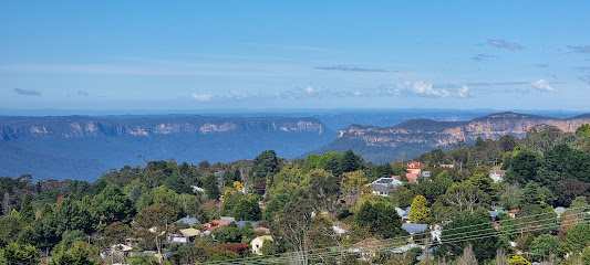
Bowery
10.5 km
Discover the vibrant flavors of Katoomba at The Bowery – where modern Australian cuisine meets warm hospitality.

Rustico
10.5 km
Experience authentic Italian flavors at Rustico in Katoomba - home to delicious wood-fired pizzas and a cozy dining atmosphere.
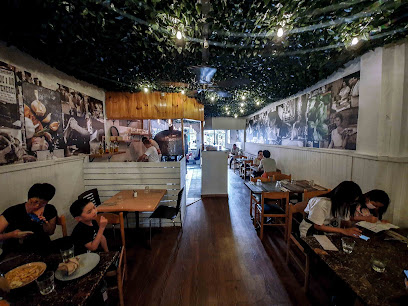
Avalon Restaurant & Cocktail Bar
10.5 km
Discover culinary delights at Avalon Restaurant & Cocktail Bar in Katoomba - where exceptional cuisine meets vibrant nightlife.
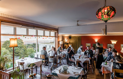
Tempus Katoomba
10.5 km
Experience modern Australian cuisine at Tempus Katoomba – where flavor meets ambiance in the heart of New South Wales.
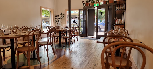
Restaurant Como
10.6 km
Experience exquisite dining at Restaurant Como in Katoomba – where local flavors meet elegant ambiance for an unforgettable meal.

Pins On Lurline
10.6 km
Experience exquisite Australian cuisine in a charming setting at Pins On Lurline in Katoomba - where every meal is a celebration.
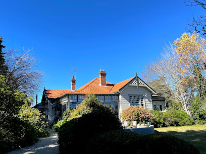
Aunty Ed's Restaurant and Bar
10.6 km
Discover Aunty Ed's Restaurant and Bar in Katoomba – where delicious food meets vibrant nightlife amidst stunning Australian landscapes.
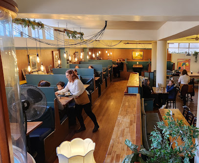
8Things Eatery
10.6 km
Experience the essence of Katoomba's culinary scene at 8Things Eatery—where local ingredients meet global flavors.
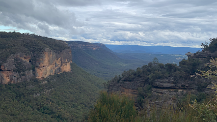
Markets, malls and hidden boutiques
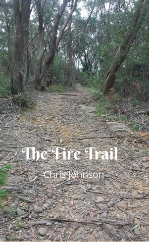
The Fire Trail
4.7 km
Explore The Fire Trail, a charming book shop offering a vast selection of literary treasures that inspire adventure and imagination.
It's The Little Things
4.7 km
Discover unique clothing and gifts at It's The Little Things, a charming store in Wentworth Falls that reflects local culture and artistry.

Mid Mountains Vintage
4.9 km
Explore Mid Mountains Vintage in Woodford, NSW - a captivating antique store brimming with unique collectibles, vintage furniture, and rare records.
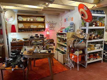
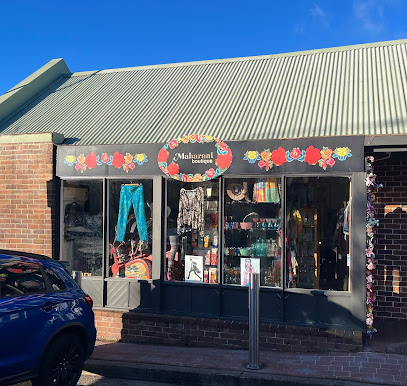
Maharani Gifts & Clothing
8.7 km
Explore unique gifts and boutique clothing at Maharani Gifts & Clothing, a charming shopping destination in Leura, Australia.
The Huntress
8.7 km
Discover unique gifts and local treasures at The Huntress in Leura, your perfect stop for boutique shopping and exquisite finds.

TheLatinStore
8.7 km
Explore TheLatinStore in Leura for vibrant clothing, unique novelties, and cultural treasures that celebrate Latin heritage.

GiftsonTheMallLeura
8.7 km
Discover unique gifts and local treasures at GiftsonTheMallLeura, the perfect shop for memorable souvenirs in the heart of Leura.
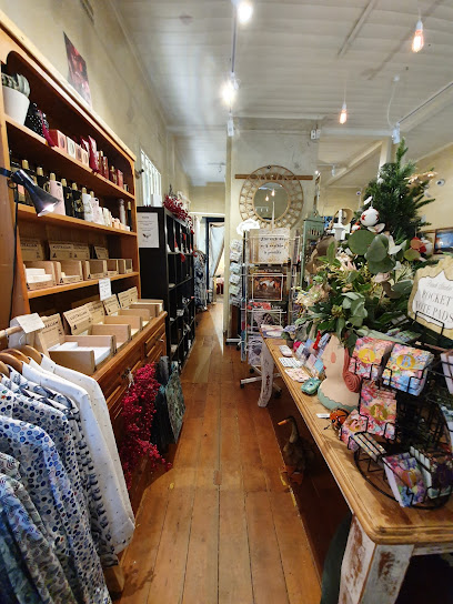
The French Shoppe
8.7 km
Discover unique French-inspired gifts and homewares at The French Shoppe in Leura, the perfect destination for tourists seeking authentic souvenirs.

With Max & Me
8.8 km
Explore unique Australian gifts and local treasures at With Max & Me, a charming store in the heart of Leura.

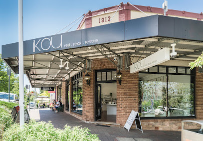
iKOU
8.8 km
Discover unique gifts, handcrafted candles, and luxurious cosmetics at iKOU, Leura's premier destination for beauty and charm.
Strand Arcade
8.8 km
Explore the enchanting Strand Arcade in Leura, a unique shopping destination filled with local boutiques, cafes, and artisanal treasures.

Leura Shopping Centre
8.8 km
Discover the unique shops and delightful cafes at Leura Shopping Centre, a charming destination in the heart of the Blue Mountains.

Leura Toy Shop
8.8 km
Explore the enchanting Leura Toy Shop, a whimsical haven for toy lovers in the heart of Leura, offering a delightful selection for all ages.

The Nook
8.8 km
Discover unique gifts and artistic handicrafts at The Nook, Leura's charming gift shop and art gallery.
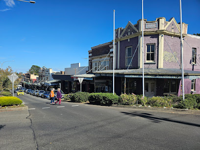
Teddy Sinclair
8.8 km
Discover unique gifts, stylish clothing, and handcrafted treasures at Teddy Sinclair in Leura, a gem for every tourist's shopping list.

Essential bars & hidden hideouts
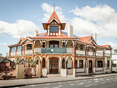
The Henry Blue Mountains
0.4 km
Experience the essence of the Blue Mountains at The Henry, where stunning scenery meets a vibrant pub atmosphere in New South Wales.
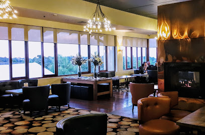
Sublime Lounge
7.0 km
Discover the tranquil elegance of Sublime Lounge in the Blue Mountains, where breathtaking views and exquisite refreshments await.
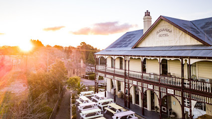
Alexandra Hotel
8.9 km
Discover the charm of Leura at Alexandra Hotel, a cozy bar and hotel perfect for relaxation and exploration in the stunning Blue Mountains.
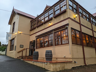
Elysian Bar
10.0 km
Experience innovative share plates and stunning cocktails at Elysian Bar, Katoomba's premier destination for food lovers and cocktail enthusiasts.
The Old City Bank Bar and Brasserie
10.6 km
Unwind at The Old City Bank Bar and Brasserie, Katoomba's lively spot for modern Australian cuisine and refreshing drinks in a historic setting.
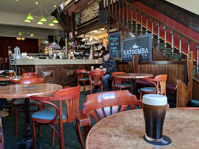
Station Bar & Woodfired Pizza
10.6 km
Experience the best woodfired pizzas and a vibrant bar atmosphere in Katoomba's scenic Blue Mountains.
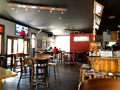
The Baroque Room
10.6 km
Experience the vibrant nightlife at The Baroque Room in Katoomba, a perfect blend of live music and charming ambiance.
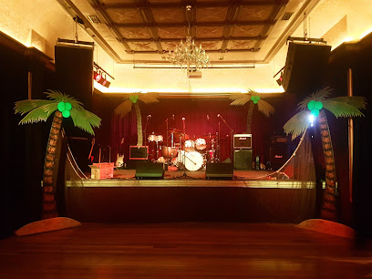
The Bootlegger Bar Katoomba
10.6 km
Discover the perfect blend of delicious grill cuisine and vibrant nightlife at The Bootlegger Bar in Katoomba, a top destination for tourists in the Blue Mountains.
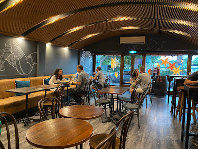
Bar NSW
10.6 km
Experience the charm of Katoomba at Bar NSW, where delightful drinks and a cozy atmosphere await you in the heart of the Blue Mountains.
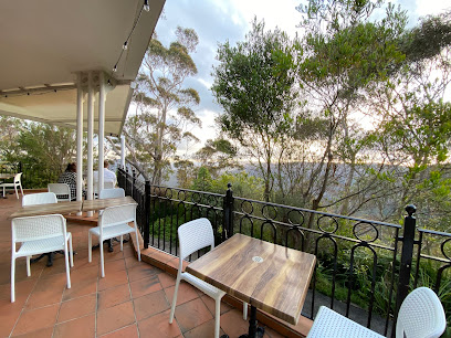
Champagne Charlies
10.7 km
Discover the elegance of Champagne Charlies, a premier bar in Katoomba offering exquisite drinks and a relaxing atmosphere among breathtaking mountain views.

Royal Hotel
13.0 km
Experience the charm of Springwood at the Royal Hotel, a lively pub, bistro, and hotel offering delightful dining and entertainment.

Frankie & Mo's Wine Shop & Bar
15.8 km
Explore a curated selection of fine wines and gourmet delights at Frankie & Mo's Wine Shop & Bar in Blackheath, NSW.

Side B Vinyl Bar
16.0 km
Experience excellent cocktails and live music at Side B Vinyl Bar in Blackheath, a unique cocktail bar with a passion for vinyl records.
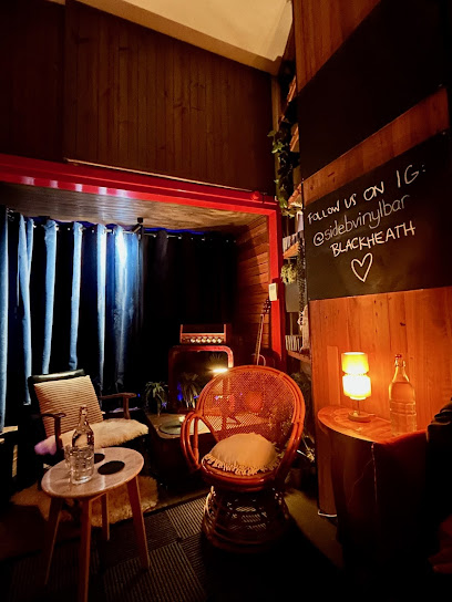
Winmalee Tavern
17.7 km
Discover the cozy Winmalee Tavern, a perfect blend of local flavors and vibrant atmosphere in the heart of the Blue Mountains.
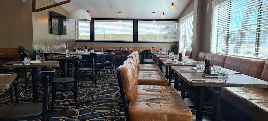
Bramble Bar Blaxland
17.8 km
Discover Bramble Bar Blaxland, where great drinks and good company come together in a vibrant atmosphere perfect for all occasions.
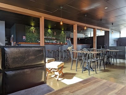
Nightclubs & after hour spots
Katoomba RSL
10.5 km
Experience the vibrant atmosphere and local flavors at Katoomba RSL in the beautiful Blue Mountains.
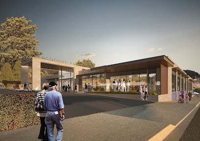
Lounge Sessions Hotel Blue
10.5 km
Experience the vibrant music scene at Lounge Sessions Hotel Blue in Katoomba, where live performances and a cozy atmosphere await.
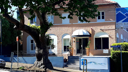
Harp and Fiddle
10.6 km
Discover the vibrant ambiance of Harp and Fiddle, Katoomba's premier bar, offering a delightful selection of drinks and local culture.
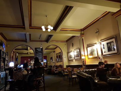
Springwood Sports Club
13.5 km
Discover Springwood Sports Club: A vibrant hub of dining, entertainment, and community spirit in the heart of the Blue Mountains.
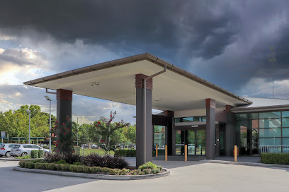
VIP Lounge
23.7 km
Experience the excitement of the VIP Lounge in Jamisontown, where vibrant music and stylish decor create the ultimate nightlife destination in New South Wales.
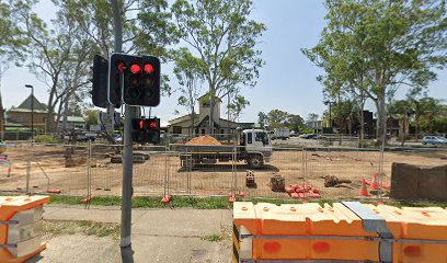
Chargebar @ Tatersalls Hotel
25.2 km
Experience the vibrant nightlife of Penrith at Chargebar - a lively bar with a welcoming atmosphere and a diverse beverage selection.
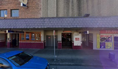
The Penthouse
37.4 km
Experience vibrant nightlife at The Penthouse in South Windsor, where music, dance, and entertainment come alive.
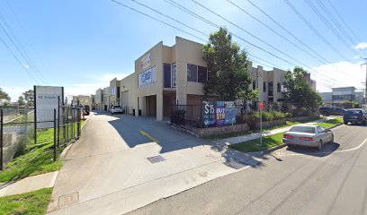
Uneeda Disco
43.4 km
Experience the vibrant nightlife at Uneeda Disco in Blacktown, where music and dance come together for an unforgettable night out.

Club Parramatta
54.1 km
Discover the heart of Parramatta at Club Parramatta, where entertainment, dining, and community spirit come together in a vibrant setting.

MVP Nightclub
54.4 km
Experience the electrifying nightlife at MVP Nightclub in Parramatta, where music, dance, and fun come together for an unforgettable evening.
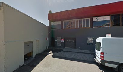
The Spot Nightclub Fridays
54.7 km
Unleash your night at The Spot Nightclub in Parramatta - where music and energy collide for an unforgettable experience.
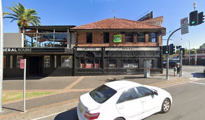
Albion Hotel
55.2 km
Discover the lively Albion Hotel in Parramatta, where great food, drinks, and a vibrant atmosphere await every visitor.

Tokyo Sing Song
72.6 km
Experience the vibrant nightlife at Tokyo Sing Song in Newtown, where karaoke meets dance in a lively atmosphere.

The Imperial Erskineville
72.7 km
Discover the lively atmosphere of The Imperial Erskineville, a vibrant night club and bar that celebrates Sydney's LGBTQ+ culture with unforgettable events and culinary delights.

Club Millésime | Sofitel Sydney Darling Harbour
73.4 km
Experience luxury and relaxation at Club Millésime, a premier lounge in the heart of Sydney's Darling Harbour, offering exquisite beverages and stunning views.
