Reflecting on Tragedy: The Gravesite of the 1872 Lone Pine Earthquake Victims
Discover the poignant history of the 1872 Lone Pine Earthquake Victims at this historical landmark, set against the stunning backdrop of California's Sierra Nevada.
The Gravesite of the 1872 Lone Pine Earthquake Victims stands as a poignant reminder of the natural disaster that struck California, showcasing rich history and serene landscapes. Visitors can reflect on the past while enjoying the beauty of the surrounding area.
A brief summary to Gravesite of the 1872 Lone Pine Earthquake Victims California Historical Landmark #507
- US 395 South of, Pangborne Ln, Lone Pine, CA, 93545, US
- Visit website
Local tips
- Consider visiting during the early morning or late afternoon for a quieter experience.
- Bring a camera; the surrounding landscapes are perfect for photography.
- Check out local museums in Lone Pine for more insights into the earthquake and the area’s history.
- Wear comfortable shoes as you may want to walk around and explore the area.
Getting There
-
Car
If you're driving, the Gravesite of the 1872 Lone Pine Earthquake Victims is located along US 395 in Lone Pine, California. From central locations like Fresno, take CA-99 South toward Bakersfield. Merge onto CA-58 East towards Mojave, then take US-395 North. Follow US-395 until you reach Lone Pine. The landmark is situated just south of Pangborne Lane on the right side of the highway. There is no entrance fee, and parking is available along the roadside.
-
Public Transportation
For those using public transportation, take a Greyhound bus to Lone Pine. You can find schedules and book tickets online. Once in Lone Pine, you can either walk or take a taxi to reach the Gravesite. It's about a 1.5-mile walk from the Greyhound bus stop on S. Main Street to the landmark along US 395. Alternatively, you can call a local taxi service for a short ride to the site.
-
Bicycle
If you're feeling adventurous and would like to bike, you can rent a bicycle from a local shop in Lone Pine. The Gravesite is easily accessible by bike from the town center. Head south on S. Main Street and merge onto US 395, following it south for about 1.5 miles. Always wear a helmet and be cautious of traffic.
Discover more about Gravesite of the 1872 Lone Pine Earthquake Victims California Historical Landmark #507
Iconic landmarks you can’t miss
Gravesite of the 1872 Lone Pine Earthquake Victims California Historical Landmark #507
0.0 km
Discover the poignant history of the 1872 Lone Pine Earthquake Victims at this historical landmark, set against the stunning backdrop of California's Sierra Nevada.
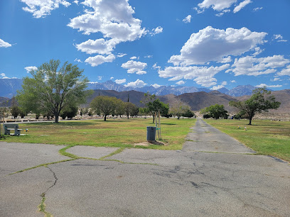
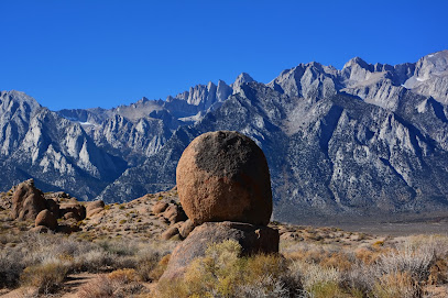
Alabama Hills
2.9 km
Explore Alabama Hills, California: A breathtaking mountain range with stunning rock formations, rich history, and endless outdoor adventures await you.
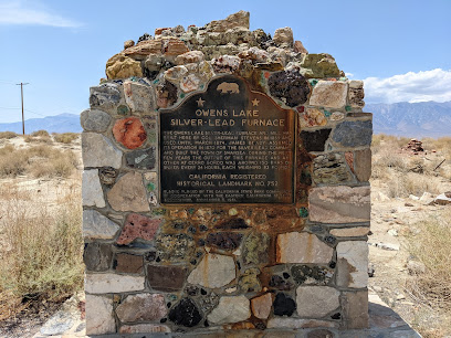
California Historical Landmark 752: Owens Lake Silver-Lead Furnace
18.0 km
Explore the Owens Lake Silver-Lead Furnace, a historical landmark that reveals California's mining legacy amidst stunning natural beauty.
Site of Putnam's Cabin (California Historical Landmark No. 223)
23.6 km
Explore Putnam's Cabin, a California Historical Landmark, and immerse yourself in the rich history of early settlers in Independence, California.
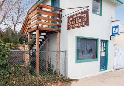
Saline Valley Warm Springs
34.6 km
Experience the tranquility of Saline Valley Warm Springs in Death Valley National Park, a hidden gem with therapeutic hot springs and breathtaking desert views.
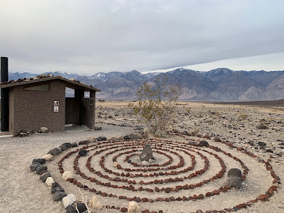
Mt Kaweah
38.0 km
Explore the breathtaking beauty of Mt Kaweah in California, where majestic peaks meet serene wilderness for an unforgettable adventure.
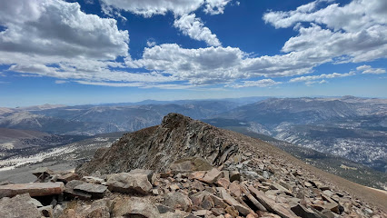
Kaweah Gap
43.6 km
Experience the breathtaking beauty of Kaweah Gap, a stunning mountain pass in California's Sierra Nevada, perfect for nature lovers and adventure seekers.
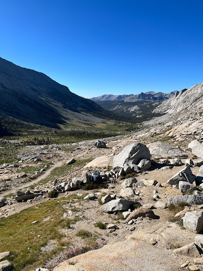
Precipice Lake
44.5 km
Explore Precipice Lake, a serene alpine gem in California's Sierra Nevada, offering stunning views, outdoor adventures, and peaceful relaxation.
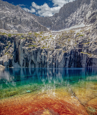
Grandstand
45.5 km
Explore the Grandstand in Death Valley National Park, where stunning geological formations meet breathtaking desert landscapes in a natural wonder.
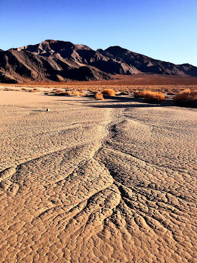
Upper Monarch Lake
47.8 km
Explore Upper Monarch Lake: A serene swimming lake surrounded by breathtaking landscapes, ideal for relaxation and outdoor adventures.
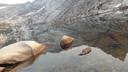
Mineral King Valley
50.5 km
Experience the stunning natural beauty of Mineral King Valley, a hidden gem in California's Sierra Nevada, perfect for hiking, wildlife watching, and photography.
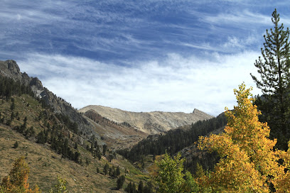
Mineral King Ranger Station
51.8 km
Discover the serene beauty of Mineral King Ranger Station in Sequoia National Park, your gateway to incredible hiking, wildlife, and nature experiences.
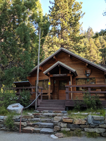
Tar Gap Trailhead
52.2 km
Discover the breathtaking beauty of Tar Gap Trailhead, a serene hiking area in Sequoia & Kings Canyon National Parks, California.
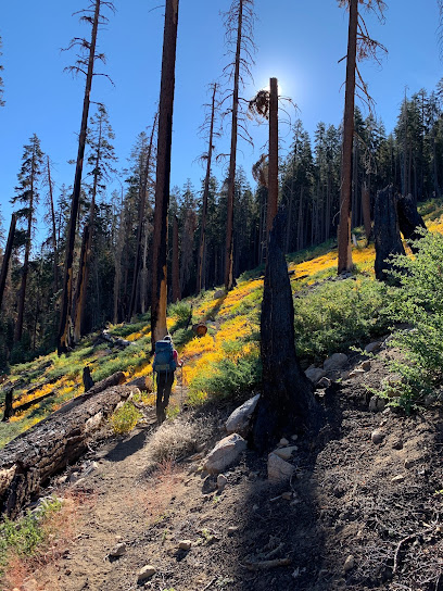
Cold Springs Campground
52.2 km
Discover the serene beauty of Cold Springs Campground in the Sierra Nevada, a perfect escape for nature lovers and adventure seekers.

Eagle Lake
53.2 km
Experience the breathtaking beauty and tranquility of Eagle Lake, a hidden gem in California perfect for outdoor adventures and serene escapes.
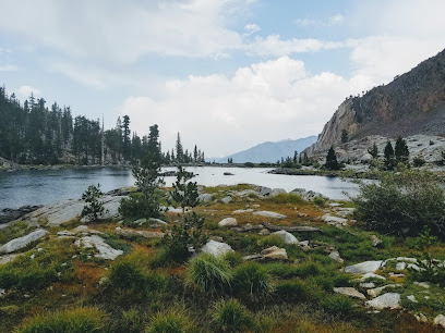
Unmissable attractions to see
Eastern Sierra Visitor Center
4.6 km
Explore the Eastern Sierra Visitor Center for essential information and breathtaking landscapes in California's stunning natural beauty.
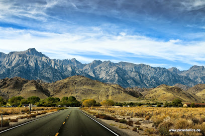
Mobius Arch Loop Trailhead
5.1 km
Experience breathtaking views and unique geological wonders at Mobius Arch Loop Trailhead, a premier hiking destination in California's Sierra Nevada.
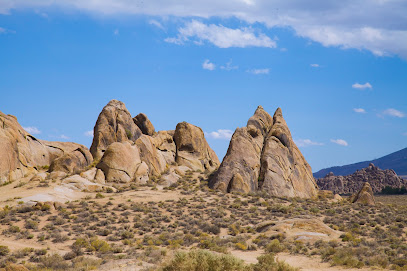
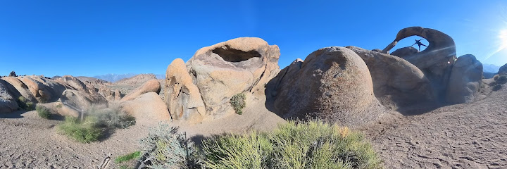
Mobius Arch
5.1 km
Experience the breathtaking beauty of Mobius Arch in Lone Pine, California, where nature's artistry meets stunning mountain vistas.
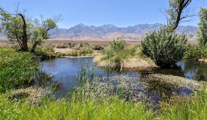
Eastern California Museum
23.7 km
Explore the Eastern California Museum, where rich history and vibrant culture come alive in the heart of Independence, California.
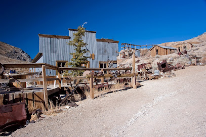
Cerro Gordo Ghost Town
26.0 km
Discover the haunting allure of Cerro Gordo Ghost Town, a historic mining relic nestled in the breathtaking Eastern Sierra of California.
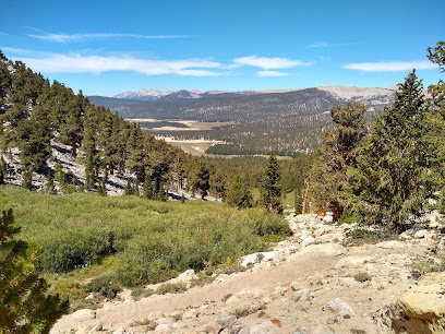
Golden Trout Wilderness
40.8 km
Explore the breathtaking landscapes and diverse wildlife of Golden Trout Wilderness, a must-visit national forest in the Sierra Nevada mountains.
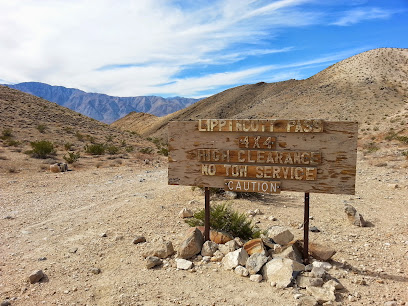
Lippincott Pass
43.7 km
Explore the breathtaking Lippincott Pass in Death Valley, California, where stunning desert landscapes and rugged terrain await adventurous travelers.
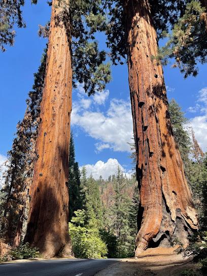
Sequoia & Kings Canyon National Parks
44.5 km
Explore Sequoia & Kings Canyon National Parks: Home to towering trees, stunning landscapes, and rich wildlife in California's natural paradise.
Sequoia-Kings Canyon Wilderness
45.6 km
Explore the breathtaking Sequoia-Kings Canyon Wilderness, a nature preserve filled with towering sequoias, stunning vistas, and diverse wildlife in California.
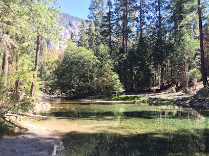
Inyo National Forest
46.3 km
Explore the breathtaking landscapes and outdoor adventures of Inyo National Forest, a natural gem in California's eastern Sierra Nevada.
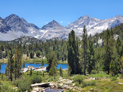
South Sierra Wilderness
48.4 km
Discover the breathtaking beauty and adventure of South Sierra Wilderness, a hidden gem in California's Sierra Nevada mountains, perfect for outdoor lovers.
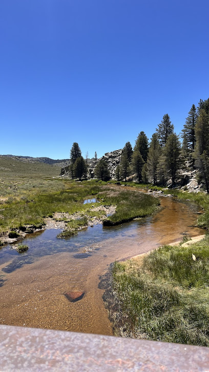
Death Valley National Park Sign
49.3 km
Experience the breathtaking extremes of Death Valley National Park, a stunning landscape of deserts, mountains, and natural wonders in California.
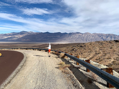
Roaring River Falls
52.4 km
Explore Roaring River Falls: A Stunning Waterfall in California Perfect for Nature Lovers and Adventure Seekers.
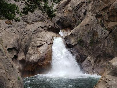
Jennie Lakes Wilderness
53.9 km
Discover the serene beauty of Jennie Lakes Wilderness, a natural paradise in California's Sequoia National Forest, perfect for outdoor adventures and relaxation.
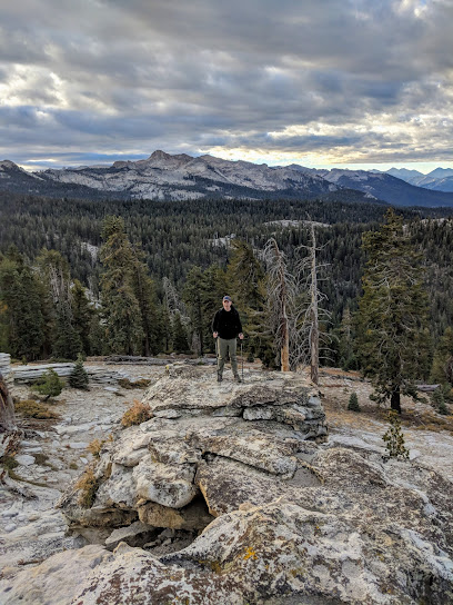
Father Crowley Overlook
55.0 km
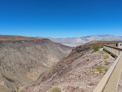
Discover stunning desert vistas and breathtaking sunsets at Father Crowley Overlook, a must-see destination in Death Valley National Park.
Essential places to dine
Lodgepole Campground
58.7 km
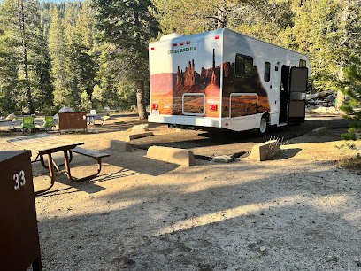
Experience the tranquility of Lodgepole Campground in Sequoia National Park – where nature meets adventure in California's Sierra Nevada.
Stony Creek Lodge
69.0 km
Experience rustic charm at Stony Creek Lodge in Sequoia National Park - your perfect retreat into nature's breathtaking beauty.

Buckeye Tree Lodge & Cabins
70.4 km
Discover tranquility at Buckeye Tree Lodge & Cabins—your gateway to adventure in beautiful Three Rivers, California.
The Gateway Restaurant & Lodge
70.5 km
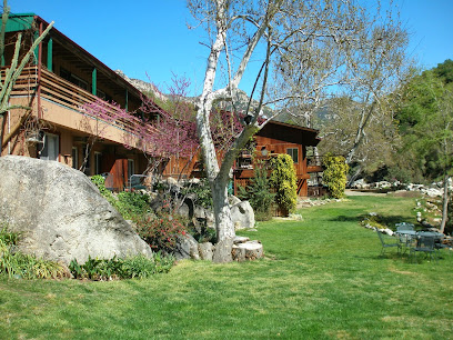
Discover the perfect blend of fine dining and cozy lodging at The Gateway Restaurant & Lodge near Sequoia National Park.
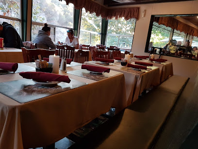
Montecito Sequoia Lodge
72.2 km
Discover the serenity of Montecito Sequoia Lodge nestled in Sequoia National Park – your gateway to outdoor adventures and natural beauty.

Pierpoint Bar & Grill
73.2 km
Discover delicious grill cuisine at Pierpoint Bar & Grill in Springville – where every meal is an unforgettable experience.
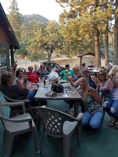
River View Grill & Bar
76.6 km
Discover River View Grill & Bar in Three Rivers: A perfect blend of scenic views and delectable American cuisine awaits you!
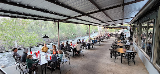
Tony's Taverna On Wheels
76.7 km
Discover delicious Mediterranean flavors at Tony's Taverna On Wheels in Three Rivers – a must-visit culinary experience for every traveler.
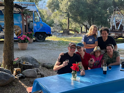
Rio Sierra Riverhouse
77.0 km
Discover tranquility at Rio Sierra Riverhouse - your gateway to adventure near Sequoia National Park in Three Rivers, California.
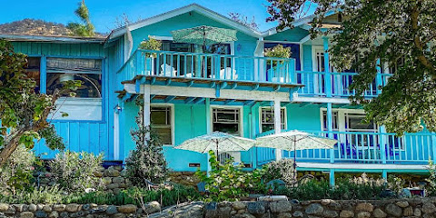
Pupusas La Sabrosa Three Rivers
77.3 km
Discover the authentic flavors of El Salvador at Pupusas La Sabrosa in Three Rivers—where every dish tells a story.
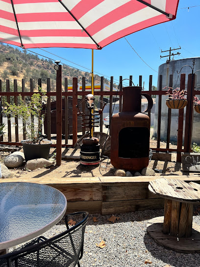
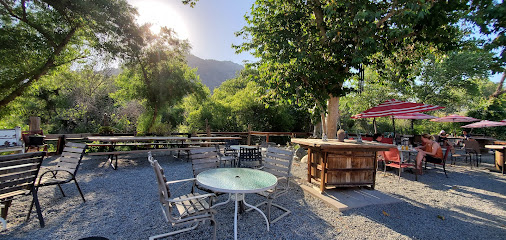
Ol Buckaroo
77.4 km
Discover Ol Buckaroo: A delightful New American restaurant in Three Rivers offering unique flavors and unforgettable dining experiences.
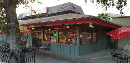
Pizza Factory
78.4 km
Experience family-friendly dining at Pizza Factory in Three Rivers – savor delicious pizzas and authentic Italian cuisine near Sequoia National Park.
Casa Mendoza Mexican Restaurant
78.5 km
Discover authentic Mexican cuisine at Casa Mendoza in Three Rivers—where vibrant flavors meet stunning scenery.
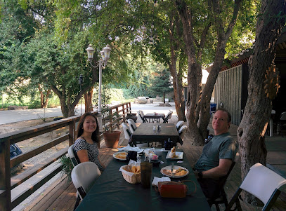
Sequoia Cider Mill Restaurant
79.4 km
Discover delicious American cuisine at Sequoia Cider Mill Restaurant in Three Rivers – perfect for families and nature lovers alike!
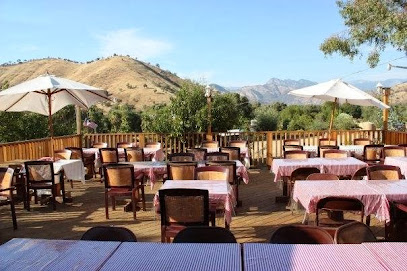
Lazy J Ranch Motel - Three Rivers, CA
80.6 km
Experience serene stays at Lazy J Ranch Motel in Three Rivers, CA - your gateway to Sequoia National Park's natural wonders.
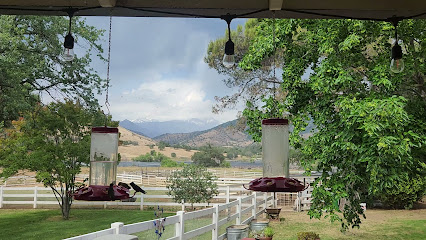
Markets, malls and hidden boutiques
Lodgepole Market & Grill
59.1 km
Discover Lodgepole Market & Grill in Sequoia National Park for local snacks, delicious meals, and unique souvenirs amidst stunning natural beauty.
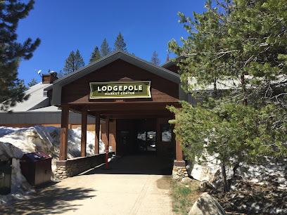
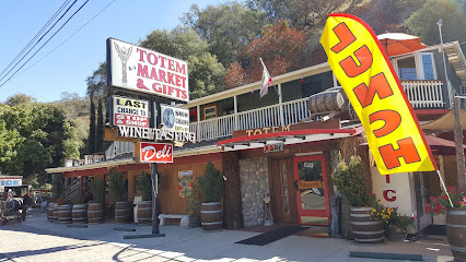
Totem Market & Gifts
71.9 km
Explore Totem Market & Gifts for unique souvenirs, gourmet snacks, and local brews in the heart of California's Sequoia region.
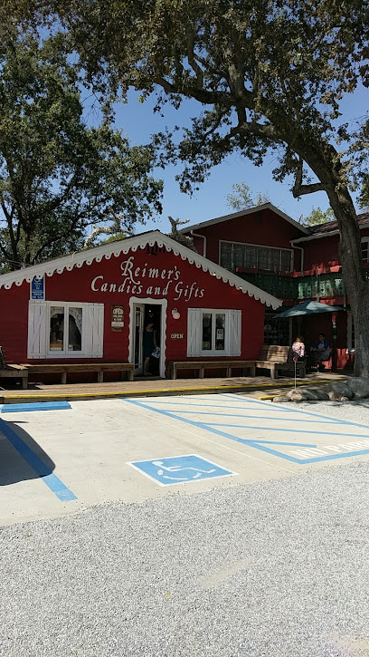
Reimers Candies & Gifts
76.5 km
Discover the sweet side of Three Rivers at Reimers Candies & Gifts, where artisanal treats and delightful gifts await every visitor.
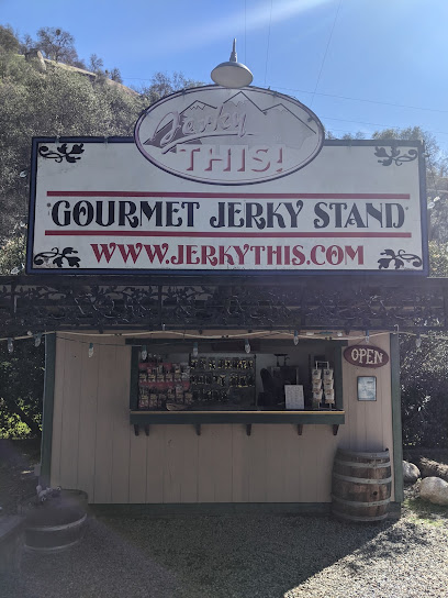
Jerky This!
76.5 km
Discover a gourmet treasure trove of flavors at Jerky This! in Three Rivers, California, where artisanal jerky meets local charm.
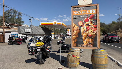
Shell
77.3 km
Discover Sierra Drive in Three Rivers: Your go-to gas station with essential amenities, delicious meals, and a gateway to California's natural beauty.
Three Rivers Market
77.3 km
Discover the convenience of Three Rivers Market, your go-to grocery store in Three Rivers, California, offering local goods, snacks, and essentials for your adventures.
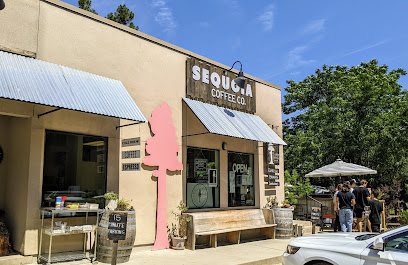
Sequoia Coffee Co.
77.4 km
Enjoy exceptional coffee and a cozy atmosphere at Sequoia Coffee Co., the perfect stop for nature lovers near Sequoia National Park.
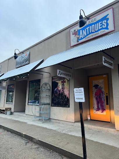
Sequoia Souveniers
77.4 km
Explore Sequoia Souveniers for unique gifts and keepsakes that celebrate the beauty of California's Sierra Nevada region.
Gathered
77.4 km
Discover unique home goods and artisanal treasures at Gathered in Three Rivers, California - a true reflection of local craftsmanship.

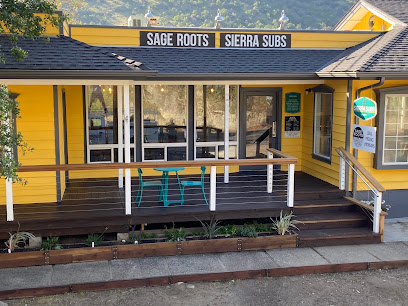
Sierra Subs & Salad
77.4 km
Discover fresh, delicious sandwiches and salads at Sierra Subs & Salad, the perfect stop before your Sequoia National Park adventure.
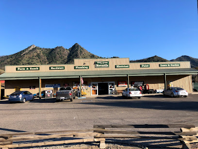
Three Rivers Mercantile
78.1 km
Explore Three Rivers Mercantile, your go-to stop for home improvement, gardening essentials, and local charm in the heart of California's Sierra Nevada.
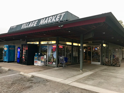
Village Market
78.5 km
Discover the Village Market in Three Rivers, CA – your go-to grocery store near Sequoia National Park, offering fresh produce, snacks, and local essentials.
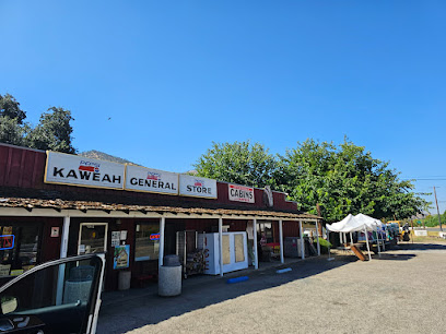
Kaweah General Store
79.2 km
Experience the rustic charm of Kaweah General Store, your go-to spot for local groceries and essentials in Three Rivers, California.
Grant Grove Gift Shop
80.9 km
Discover unique souvenirs and local crafts at Grant Grove Gift Shop, your perfect stop in Sequoia National Park for memorable gifts.

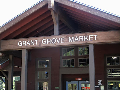
Grant Grove Market
80.9 km
Discover the delightful Grant Grove Market, a grocery store nestled in Sequoia National Park, offering local snacks and essentials for every adventurer.
Essential bars & hidden hideouts
Panamint Springs Restaurant
62.0 km
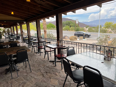
Discover the charm of Panamint Springs Restaurant, where delicious food meets breathtaking desert views in the heart of California.
Lake Canyon Ranch
65.8 km
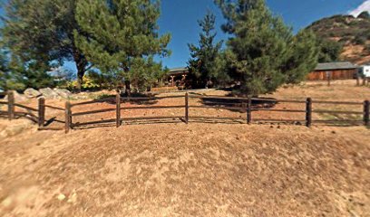
Experience the serene beauty of Lake Canyon Ranch, a perfect bar retreat in Three Rivers, CA, surrounded by nature's splendor.
Serrano's Mexican Restaurant
78.5 km
Experience the vibrant flavors of Mexico at Serrano's Mexican Restaurant in Three Rivers, CA, where every dish tells a story.
