From Eve
Know before you go
Hi, I'm Eve. Here are a few practical things to know before exploring Mount Tamalpais State Park.
Local know-how to help you travel smarter and make the most of every moment.


Discover breathtaking views, redwood forests, and endless trails at Mount Tamalpais State Park, a natural escape just north of San Francisco, offering hiking, camping, and history.
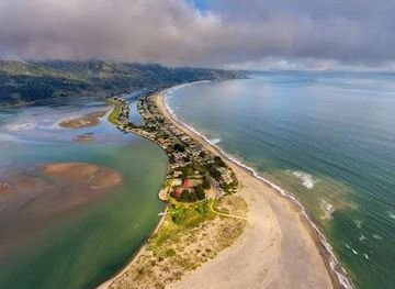
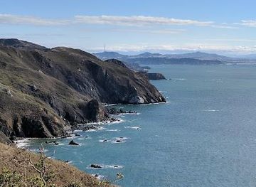
Mount Tamalpais State Park, affectionately known as Mt. Tam, is a natural haven just north of San Francisco, offering breathtaking panoramic views and diverse ecosystems. Rising majestically from the heart of Marin County, its deep canyons and sweeping hillsides are cloaked with cool redwood forests, oak woodlands, open grasslands, and sturdy chaparral. Visitors can explore over 200 miles of trails, perfect for hiking, mountain biking, and horseback riding. The park also features picnic areas, campgrounds, and historical sites like the Gravity Car Barn, which tells the story of the old Mount Tamalpais Scenic Railway. Whether you're seeking stunning vistas, outdoor adventures, or a peaceful escape into nature, Mt. Tam promises an unforgettable experience. Don't miss the chance to witness the vibrant colors of wildflowers in spring or catch a performance at the historic Mountain Theater. With its rich history, diverse landscapes, and convenient location, Mt. Tam is a must-visit destination for nature lovers and outdoor enthusiasts alike.
Opening times, essentials, and a few local tips gathered into one calmer, easier-to-scan planning section.
Hi, I'm Eve. Here are a few practical things to know before exploring Mount Tamalpais State Park.
Local know-how to help you travel smarter and make the most of every moment.
Driving
From Highway 101, take the Stinson Beach exit (Highway 1) and follow the signs up the mountain. This winding route, via Panoramic Highway, offers stunning views but can be narrow and congested, especially on weekends. Parking is available at East Peak, Pantoll, and Bootjack, but these lots often fill up early. Parking fees are $8 per vehicle. Pantoll accepts credit cards during business hours; East Peak and Bootjack are cash only (or QR code payment via a mobile app). Consider carpooling to reduce parking demand. Be aware that Ridgecrest Boulevard, which leads to East Peak, is sometimes closed during winter storms.
Public Transport
Take Golden Gate Transit Route 61 (West Marin Stagecoach) from Sausalito to Pantoll Ranger Station on weekends and holidays during the summer. Check the Marin Transit website for the current schedule and stops. From Pantoll, you can access various trails and viewpoints. A single ride fare is approximately $3 - $6. This option avoids parking hassles but requires careful planning due to the limited schedule.
Use Tower Bridge as your starting point for nearby food, family ideas, nightlife, and more local discoveries.

Explore expert travel guides, compare and book tours, experiences, hotels, and more—all from the palm of your hand. Download now for seamless trip planning wherever your wanderlust takes you.
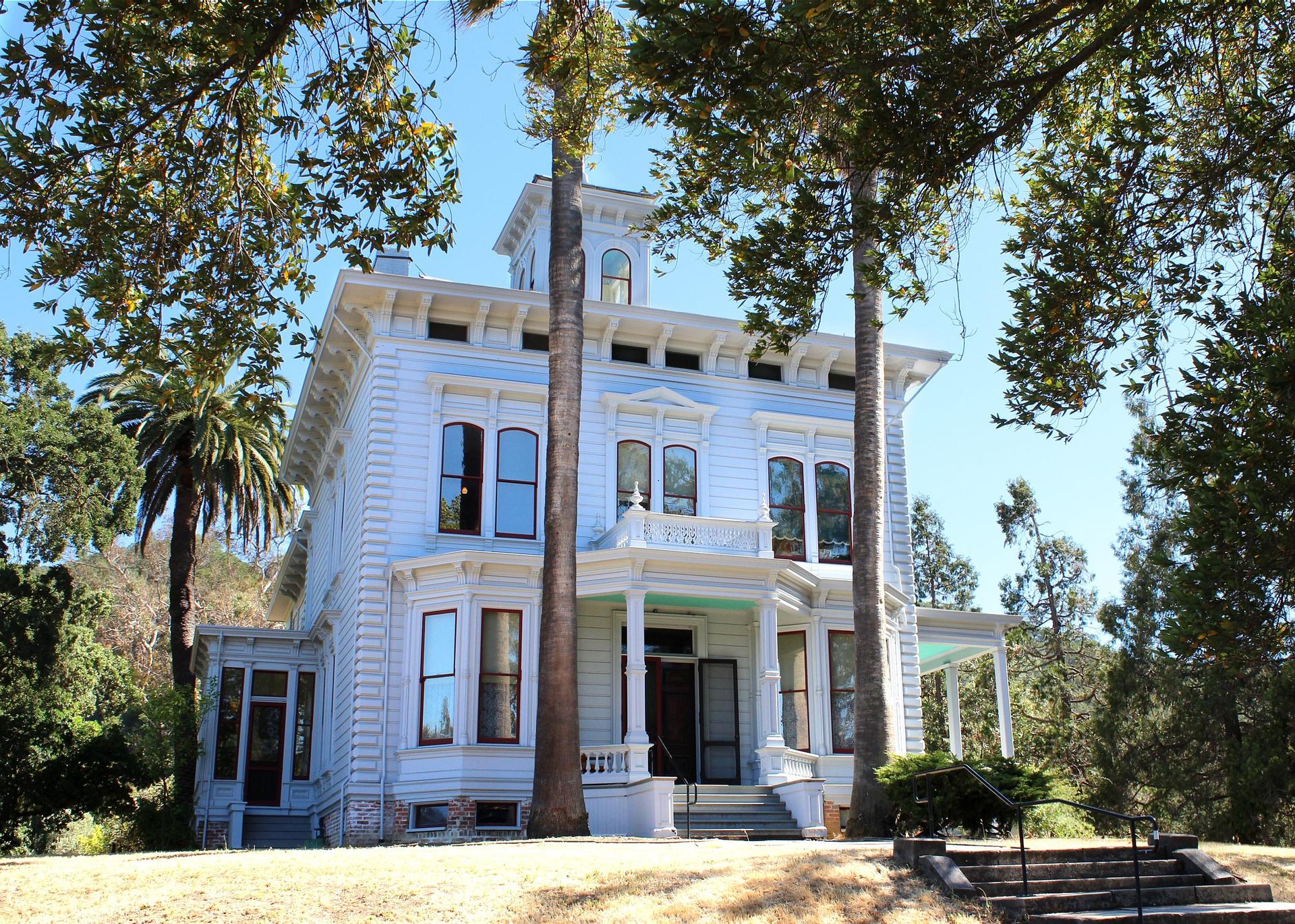
Discover Martinez, California: A charming city where history, nature, and community come together in perfect harmony.
Tell me more about Martinez