1852 South Beach Shoreline: A Glimpse into San Francisco's Past
Discover San Francisco's hidden history at the 1852 South Beach Shoreline, a marker revealing the city's incredible transformation through land reclamation and Gold Rush expansion.
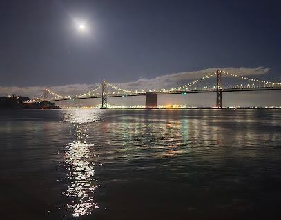
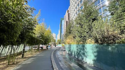
The 1852 South Beach Shoreline marker offers a fascinating glimpse into San Francisco's dramatic transformation. Before the Gold Rush, much of the area now occupied by the Financial District and South Beach was underwater. The shoreline ran along what is now King Street. Driven by the booming population and the need for more land, the city embarked on a massive landfill project, using everything from rubble to abandoned ships to extend the shoreline into the bay. Today, a plaque marks the approximate location of that original shoreline, reminding visitors of the incredible engineering feat that shaped modern San Francisco. It's a great spot to reflect on the city's history and imagine what the waterfront looked like over 150 years ago. While there isn't much to 'do' here, it's a worthwhile stop for history buffs exploring the South Beach area, easily combined with a visit to nearby Oracle Park or a stroll along the Embarcadero.
A brief summary to 1852 South Beach Shoreline
- 160 King St, San Francisco, China Basin, California, 94107, US
- Visit website
Local tips
- Combine your visit with a walk along the Embarcadero for stunning bay views and access to other attractions.
- Check out nearby Oracle Park, home of the San Francisco Giants, for a game or tour.
- Explore the South Beach neighborhood's restaurants and cafes for a taste of local flavors.
Getting There
-
Public Transport
From the Embarcadero BART station, take the Muni T-Third Street light rail line towards Sunnydale. Exit at the 4th St & King St station. From there, walk west along King Street for a few blocks. The 1852 South Beach Shoreline marker is located near 160 King Street. A single Muni fare is $3.00, or $2.75 if using a Clipper card or the MuniMobile app. A day pass is $5.00, offering unlimited rides on Muni buses, light rail, and streetcars (excluding cable cars).
-
Walking
From the Ferry Building, walk south along the Embarcadero, following the waterfront promenade. Continue past Pier 40 and Oracle Park. Turn left onto King Street. The 1852 South Beach Shoreline marker is located a short distance along King Street near 160 King Street. The walk is approximately 1.5 miles and takes about 30 minutes.
-
Taxi/Ride-Share
From Union Square, a taxi or ride-share to 160 King Street will cost approximately $15-25, depending on traffic and surge pricing. The journey typically takes 15-20 minutes.
-
Driving
If driving, navigate to 160 King Street, San Francisco. Parking in the immediate vicinity is limited and can be expensive. Several parking garages are located within a few blocks, with hourly rates ranging from $20-$40. Consider using a parking app like SpotHero or ParkWhiz to find and reserve a spot in advance. Street parking is also available, but be sure to check posted signs for restrictions and time limits. Metered street parking typically costs $3.50 - $12 per hour.
Discover more about 1852 South Beach Shoreline
Iconic landmarks you can’t miss
1852 South Beach Shoreline
0.0 km
Discover San Francisco's hidden history at the 1852 South Beach Shoreline, a marker revealing the city's incredible transformation through land reclamation and Gold Rush expansion.
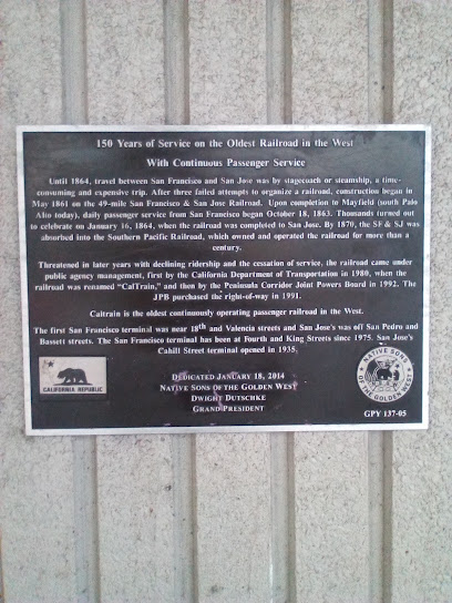
Memorial plaque 150 Years of Service on the Oldest Railroad in the West
0.4 km
Discover the legacy of the oldest railroad in the West at this San Francisco memorial, a tribute to the pioneers who connected communities and shaped California's transportation history.
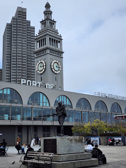
Port of San Francisco
0.7 km
Explore the Port of San Francisco: a historical landmark where maritime heritage meets vibrant waterfront culture.
California Historical Landmark 84: Rincon Hill
0.8 km
Explore Rincon Hill, a historic landmark in San Francisco, where rich history meets modern urban charm amidst stunning views and vibrant parks.
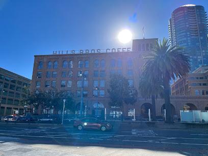
Hills Bros. Coffee Trademark
1.2 km
Explore the Hills Bros. Coffee Trademark, a stunning sculpture celebrating San Francisco's coffee culture and history, perfect for art and coffee lovers alike.
The San Francisco Mint
1.5 km
Discover San Francisco's 'Granite Lady,' a historic mint transformed into a premier event venue, offering a glimpse into the Gold Rush era and a unique space for unforgettable gatherings.
Old Chronicle building (Historical Landmark)
1.5 km
Discover the historic Old Chronicle Building in San Francisco's Union Square, a beautiful landmark symbolizing resilience and architectural elegance.
California Historical Landmark 83: Two Shoreline Markers
1.5 km
Discover the historical significance of the Two Shoreline Markers in San Francisco's Financial District, a must-see for maritime history enthusiasts.
Phelan Building
1.5 km
Discover the historic Phelan Building in San Francisco's Union Square, a stunning architectural masterpiece steeped in rich culture and history.
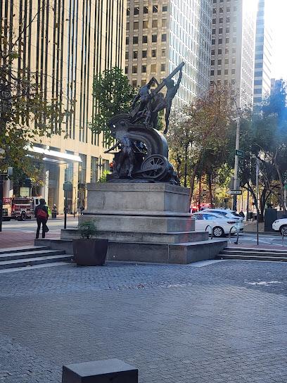
Mechanics Monument
1.5 km
Discover the Mechanics Monument in San Francisco's Financial District – a stunning sculpture celebrating the city's engineering heritage and vibrant history.
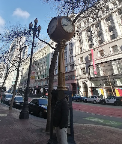
The Samuels Clock
1.5 km
A historic San Francisco landmark on Market Street, the Samuels Clock has stood since 1915, witnessing the city's evolution and embodying its enduring spirit.
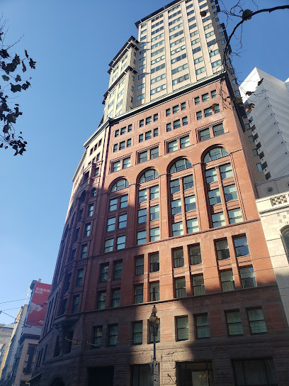
Hunter-Dulin Building
1.6 km
Discover the Hunter-Dulin Building in San Francisco: A historic 1920s architectural masterpiece blending French Chateau and Romanesque styles, once home to NBC and Sam Spade's fictional office.
Flood Building
1.6 km
Experience San Francisco history at the Flood Building, a Beaux-Arts landmark in Union Square, offering stunning architecture and a glimpse into the city's vibrant past.
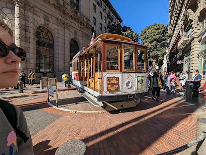
Cable Car Turnaround Powell St.
1.6 km
Discover the iconic Cable Car Turnaround at Powell Street, a historical landmark that showcases San Francisco's rich transportation heritage and vibrant urban culture.
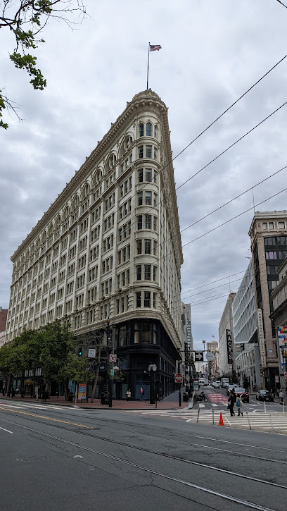
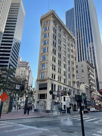
Flatiron Building
1.6 km
Explore the iconic Flatiron Building in San Francisco, a stunning architectural marvel that beautifully captures the city's historical essence and vibrant atmosphere.
Unmissable attractions to see
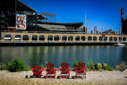
McCovey Cove
0.3 km
Explore McCovey Cove in San Francisco for stunning bay views, recreational activities, and a perfect blend of relaxation and adventure.
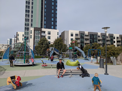
Mission Bay Kids' Park
0.8 km
Experience the vibrant Mission Bay Kids' Park, a modern playground and park in San Francisco perfect for family fun and outdoor relaxation.
Mission Bay
0.9 km
Discover the lively Mission Bay in San Francisco, where waterfront views meet diverse dining and exciting recreational activities.

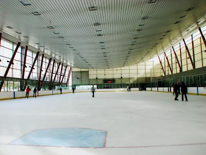
Yerba Buena Ice Skating & Bowling Center
1.0 km
Experience the thrill of ice skating and bowling year-round in San Francisco's vibrant SoMa district at the Yerba Buena Ice Skating & Bowling Center.
SoMa
1.1 km
Explore SoMa: San Francisco's vibrant hub of culture, innovation, and sports, blending historic charm with modern attractions.
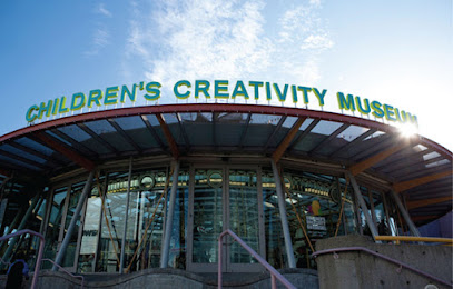
Children's Creativity Museum
1.1 km
Inspiring creativity and collaboration in children through hands-on art, technology, and multimedia experiences in the heart of San Francisco.
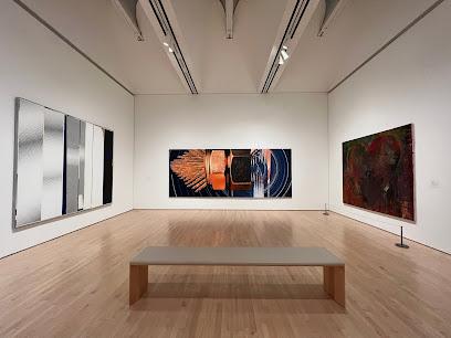
San Francisco Museum of Modern Art
1.1 km
Explore the San Francisco Museum of Modern Art, a vibrant cultural hub showcasing iconic contemporary works and innovative exhibitions in a stunning architectural space.
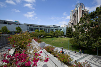
Yerba Buena Gardens
1.2 km
Discover art, culture, and recreation in the heart of San Francisco at Yerba Buena Gardens, a vibrant urban oasis for all ages.
Bay Bridge
1.2 km
Experience the breathtaking Bay Bridge, a symbol of San Francisco's engineering prowess and stunning views of the Bay Area.
Museum of the African Diaspora
1.2 km
Immerse yourself in the vibrant art and history of the African diaspora at San Francisco's Museum of the African Diaspora.
Chase Center
1.3 km
Experience world-class sports and entertainment at Chase Center in San Francisco's vibrant Mission Bay, where unforgettable memories await.
California Historical Society
1.3 km
Discover California's vibrant history at the California Historical Society, where stories of the past come to life through engaging exhibits and rich archives.
Salesforce Park
1.3 km
Discover Salesforce Park, a stunning elevated park in San Francisco featuring lush landscapes, panoramic city views, and a variety of engaging events.
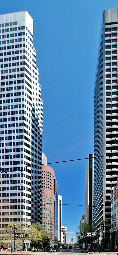
Salesforce Tower
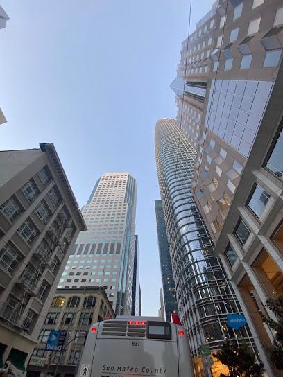
1.3 km
San Francisco's tallest skyscraper, Salesforce Tower, is a modern architectural marvel embodying innovation, sustainability, and breathtaking city views, seamlessly integrated with the Salesforce Transit Center.
The Contemporary Jewish Museum
1.3 km
Explore contemporary perspectives on Jewish culture, history, and art at San Francisco's dynamic Contemporary Jewish Museum.
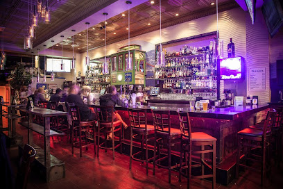
Essential places to dine
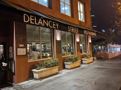
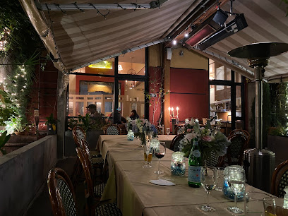
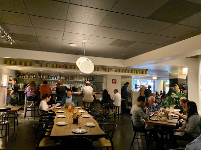
Delancey Street Restaurant
0.6 km
Experience authentic American cuisine at Delancey Street Restaurant, where every meal supports community transformation along San Francisco's beautiful waterfront.
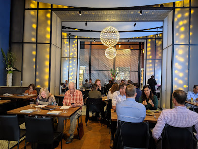
Mathilde French Bistro
1.0 km
Experience authentic French cuisine at Mathilde French Bistro in San Francisco's SoMa district, where elegance meets culinary artistry.
Mourad
1.2 km
Experience exquisite Californian cuisine with Moroccan flair at Mourad, San Francisco's premier fine dining destination.
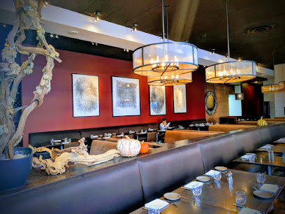
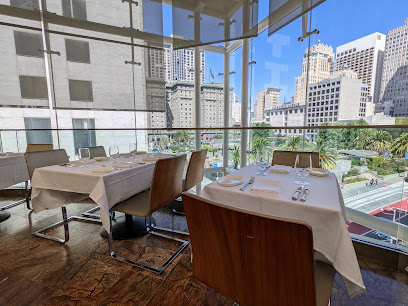
Prospect
1.2 km
Discover Prospect: A premier American restaurant in San Francisco offering organic cuisine and stunning skyline views for an unforgettable dining experience.
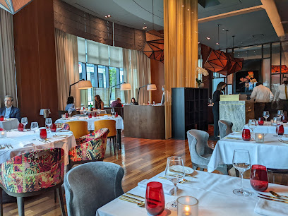
LUCE
1.3 km
Discover culinary artistry at LUCE - a Modern European gem in San Francisco's SoMa district offering exquisite dishes and fine wines.
Waterbar Restaurant
1.3 km
Discover exquisite seafood dining at Waterbar Restaurant along San Francisco's iconic Embarcadero with stunning bay views.
MKT Restaurant and Bar
1.4 km
Discover the culinary delights at MKT Restaurant and Bar in San Francisco—where New American cuisine meets sophisticated dining.
Boulevard
1.6 km
Experience unparalleled Californian-American cuisine at Boulevard, where every dish is a masterpiece crafted from local ingredients.
The Rotunda
1.6 km
Experience upscale American dining at The Rotunda in San Francisco's Union Square with stunning views and an exquisite menu.
ONE65 San Francisco
1.6 km
Experience the best of French cuisine at ONE65 in San Francisco's Union Square – a delightful blend of fine dining and charming bistro atmosphere.
Birdsong
1.7 km
Discover Birdsong: A premier fine dining restaurant in San Francisco offering innovative American cuisine and an unforgettable culinary experience.
Kin Khao
1.7 km
Experience authentic Thai flavors at Kin Khao in San Francisco's Union Square – where tradition meets innovation in every dish.
E&O Kitchen and Bar
1.8 km
Experience the vibrant flavors of Southeast Asia at E&O Kitchen and Bar in San Francisco's Union Square – where tradition meets innovation.
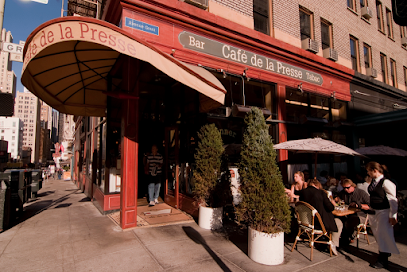
Café de la Presse
1.8 km
Discover authentic French cuisine at Café de la Presse in San Francisco's Union Square - your cozy bistro for brunch, lunch, and delightful desserts.
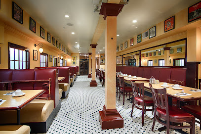
Sears Fine Food
1.9 km
Experience the best of American comfort food and authentic Swedish cuisine at Sears Fine Food in San Francisco's vibrant Union Square.
Markets, malls and hidden boutiques
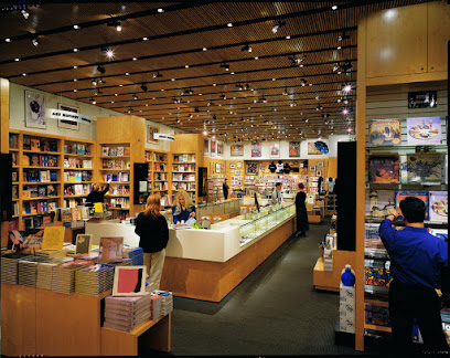
SFMOMa Museum Store
1.2 km
Explore art-inspired gifts, books, and jewelry at SFMOMA Museum Store in San Francisco's vibrant SoMa district, perfect for unique souvenirs.
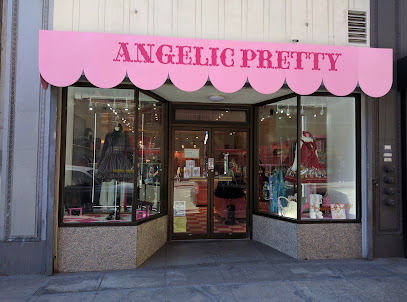
Angelic Pretty San Francisco
1.5 km
Discover whimsical women's fashion at Angelic Pretty San Francisco, where chic elegance meets unique Japanese-inspired designs in the heart of the city.
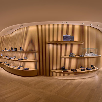
Hermes San Francisco Store
1.6 km
Discover unparalleled luxury at Hermes San Francisco, where elegant leather goods and fashion accessories await in the heart of Union Square.
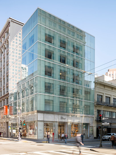
DIOR San Francisco Post Street
1.6 km
Discover the elegance of DIOR San Francisco, where luxury women's fashion meets artistry in the heart of Union Square.
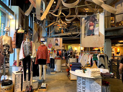
Urban Outfitters
1.6 km
Discover Urban Outfitters in San Francisco's Union Square, a trendy hub for fashion-forward clothing, unique home decor, and stylish accessories.
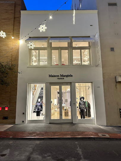
Maison Margiela San Francisco
1.7 km
Experience the cutting-edge of fashion at Maison Margiela San Francisco, where luxury meets artistic expression in an unforgettable shopping experience.
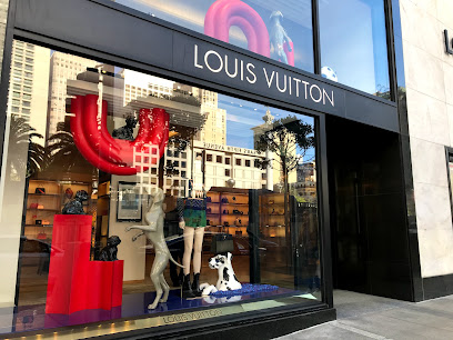
Louis Vuitton San Francisco Union Square
1.7 km
Explore the luxury of Louis Vuitton in San Francisco's Union Square, where timeless elegance meets modern sophistication in leather goods.
Gift Shop
1.7 km
Explore a delightful gift shop in Union Square, San Francisco, offering unique souvenirs and local treasures perfect for every traveler.
Cuyana
1.7 km
Explore Cuyana in San Francisco's Union Square: where elegance meets sustainability in women's fashion.
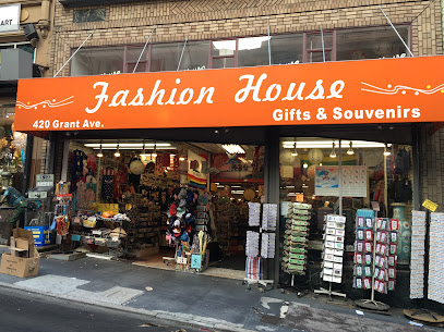
Fashion House & Gifts
1.8 km
Explore the vibrant treasures of Fashion House & Gifts in San Francisco's Chinatown—unique gifts and souvenirs that celebrate the city's culture.
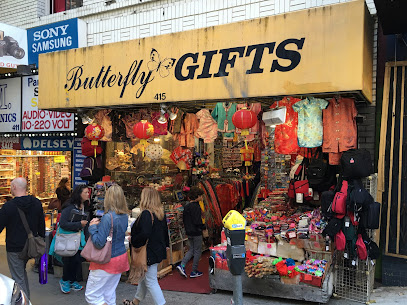
Butterfly's Gift Shop Inc
1.8 km
Explore Butterfly's Gift Shop Inc in San Francisco's Chinatown for unique gifts and unforgettable souvenirs that reflect the city's vibrant culture.
Saks Fifth Avenue
1.8 km
Discover the ultimate luxury shopping experience at Saks Fifth Avenue in San Francisco's Union Square, featuring top designer brands and exquisite accessories.
Bowerbird
1.8 km
Explore Bowerbird, a unique gift shop in San Francisco's Financial District, featuring local artisan crafts and distinctive home goods.
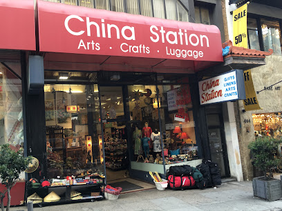
China Station
1.9 km
Explore the authentic treasures of Chinatown at China Station, your go-to gift shop for traditional crafts and unique home goods.
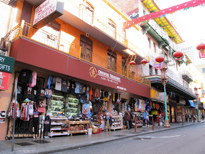
Oriental Treasures San Francisco
1.9 km
Explore a treasure trove of Asian artifacts and unique gifts at Oriental Treasures in San Francisco's enchanting Chinatown.
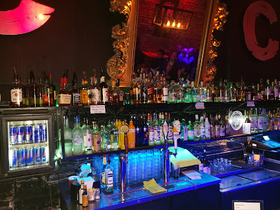
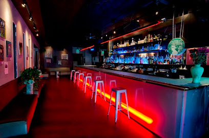
Essential bars & hidden hideouts
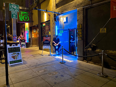
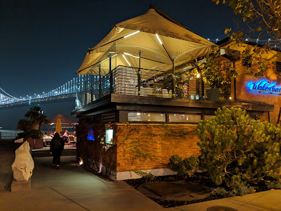
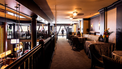
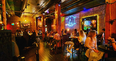
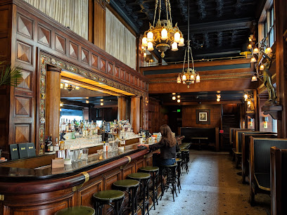
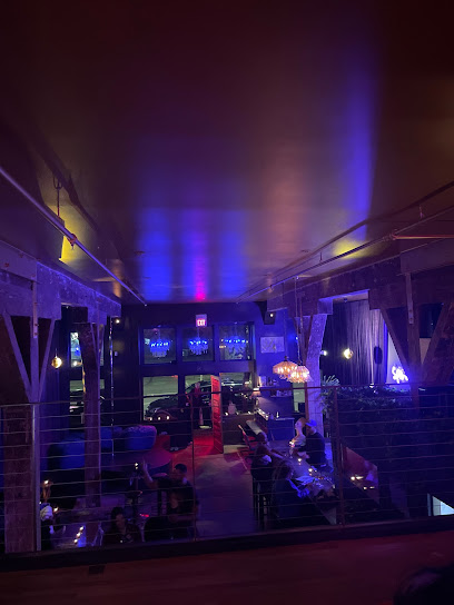
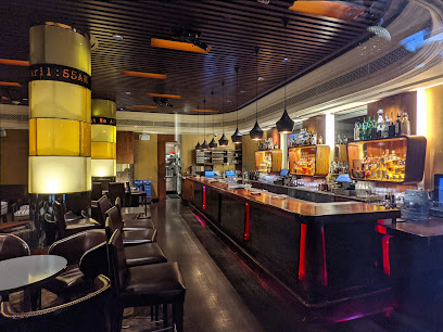
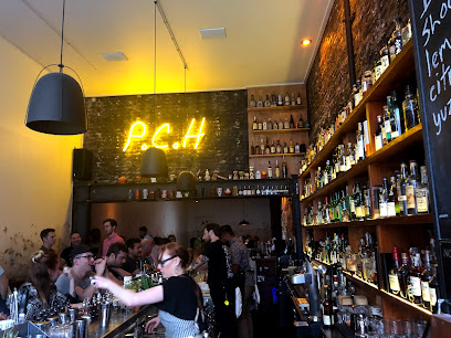
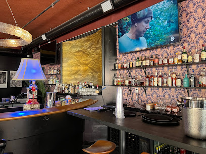
Alchemist Bar & Lounge
0.2 km
Discover Alchemist Bar & Lounge: A Chic Cocktail Haven in San Francisco's China Basin with Exquisite Drinks and Vibrant Vibes.
The House Of Shields
1.4 km
Experience the blend of history and vibrant nightlife at The House Of Shields, a must-visit bar in San Francisco's Financial District.
83 Proof
1.4 km
Discover the vibrant nightlife of San Francisco at 83 Proof, a bar offering innovative cocktails and delicious food in the heart of the Financial District.
Local Edition
1.4 km
Discover Local Edition, San Francisco's stylish cocktail bar blending innovative drinks and vibrant ambiance for an unforgettable night out.
Iron Horse Cocktails
1.5 km
Discover the vibrant atmosphere and innovative cocktails at Iron Horse Cocktails in San Francisco's lively Union Square.
Sluts the wine bar
1.5 km
Experience the vibrant SoMa district with exquisite wines and a cozy atmosphere at Sluts the Wine Bar in San Francisco.
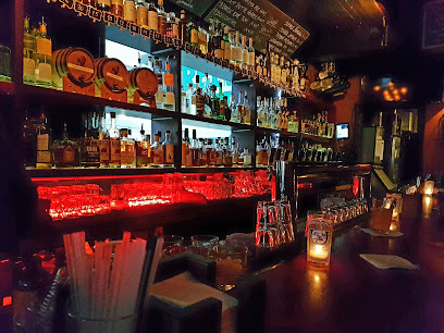
Rickhouse
1.7 km
Experience the vibrant cocktail culture of San Francisco at Rickhouse, where craft meets creativity in a chic bar ambiance.
Johnny Foley's Irish House
1.7 km
Discover the heart of Ireland in San Francisco at Johnny Foley's Irish House, where lively music and delicious food create unforgettable moments.
Harlan Records
1.7 km
Discover Harlan Records, the ultimate cocktail bar in San Francisco's Union Square, where exquisite drinks meet an unforgettable vinyl experience.
Clock Bar
1.8 km
Discover Clock Bar in Union Square: A chic lounge and restaurant offering exquisite cocktails and delectable bites in the heart of San Francisco.
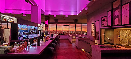
Cityscape
1.9 km
Experience the vibrant nightlife at Cityscape, where stunning views and craft cocktails create an unforgettable bar experience in San Francisco.
Tunnel Top Lounge and Bar
1.9 km
Discover the vibrant atmosphere of Tunnel Top Lounge and Bar in San Francisco, combining art, cocktails, and a unique lounge experience in Union Square.
Last Drop Tavern
2.0 km
Discover Last Drop Tavern in San Francisco's Union Square, where delicious New American cuisine meets creative cocktails in a vibrant atmosphere.
Pacific Cocktail Haven
2.0 km
Discover San Francisco's premier cocktail experience at Pacific Cocktail Haven, where innovative drinks and a vibrant atmosphere await every visitor.
718
2.0 km
Discover the unique flavors and vibrant atmosphere at 718 Lounge in San Francisco's historic Chinatown, where craft cocktails and Asian cuisine meet.
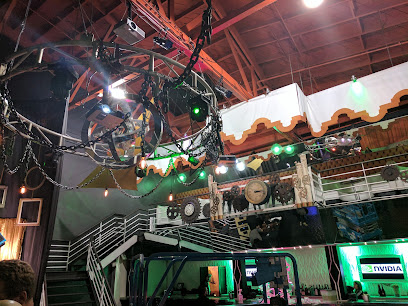
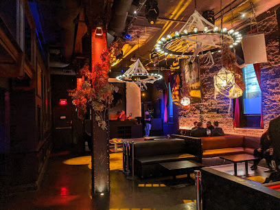
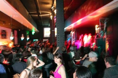
Nightclubs & after hour spots
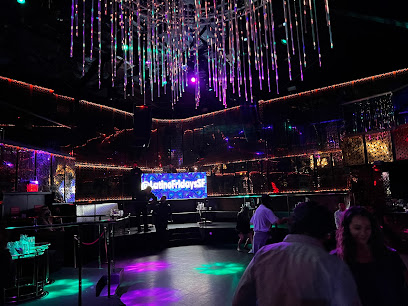
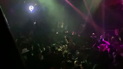
The Grand
0.6 km
Experience the electrifying nightlife at The Grand, a premier night club in San Francisco's SoMa district, with top DJs and an unforgettable atmosphere.
Club X
0.7 km
Discover the pulse of San Francisco nightlife at Club X, a dynamic night club in SoMa with electrifying music and vibrant atmosphere.
City Nights
0.7 km
Discover the electrifying nightlife of City Nights, a premier San Francisco night club that promises unforgettable moments and vibrant energy.
The EndUp
1.1 km
Discover San Francisco's vibrant nightlife at The EndUp, an iconic nightclub known for its electrifying atmosphere and unforgettable dance parties.
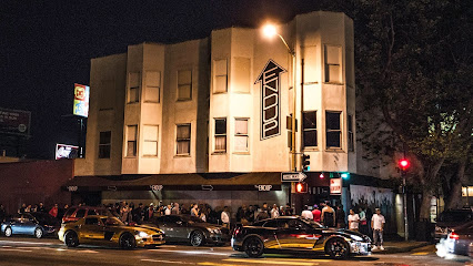
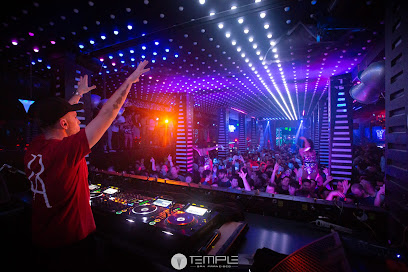
Temple Nightclub San Francisco
1.1 km
Discover the electrifying atmosphere of Temple Nightclub in San Francisco - a premier destination for nightlife, dancing, and unforgettable memories.
Harlot
1.2 km
Experience the chic ambiance of Harlot in SoMa, San Francisco's premier lounge and cocktail bar, perfect for any occasion.
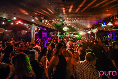
Pura Club
1.3 km
Dive into San Francisco's nightlife at Pura Club, where electrifying live music meets a vibrant dance atmosphere in the heart of SoMa.
Hawthorn SF Nightclub and Lounge
1.5 km
Discover Hawthorn SF Nightclub and Lounge - the premier nightlife destination in Union Square, San Francisco, where unforgettable nights await.
Monarch
1.5 km
Experience the vibrant nightlife at Monarch, San Francisco's premier night club and live music venue with electrifying performances and creative cocktails.
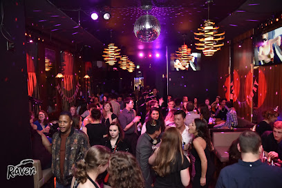
Raven Bar
1.6 km
Unleash your nightlife spirit at Raven Bar, where cocktails, dancing, and unforgettable moments come together in the heart of San Francisco's SoMa district.
Club Six
1.6 km
Discover the pulse of San Francisco at Club Six, where art meets nightlife in a dynamic celebration of music and cocktails.
Cat Club
1.7 km
Experience San Francisco's nightlife at Cat Club, where eclectic music meets vibrant energy in the heart of SoMa.
F8 Nightclub & Bar
1.7 km
Discover the pulse of San Francisco nightlife at F8 Nightclub & Bar, where music, art, and community come together for an unforgettable experience.
Sam's Cable Car Lounge
1.7 km
Experience the vibrant atmosphere of Sam's Cable Car Lounge - your perfect getaway in San Francisco's Union Square for drinks, food, and fun.
DNA Lounge
2.1 km
Discover the energy of DNA Lounge, a versatile night club in San Francisco offering food, music, and nightlife in a vibrant atmosphere.