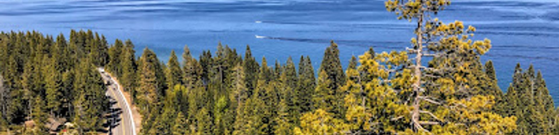
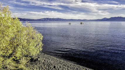
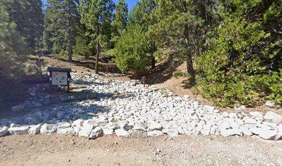
Eagle Rock Trail: A Tahoe Vista
Hike to panoramic views of Lake Tahoe on this short, accessible trail to the summit of Eagle Rock, a natural volcanic landmark.
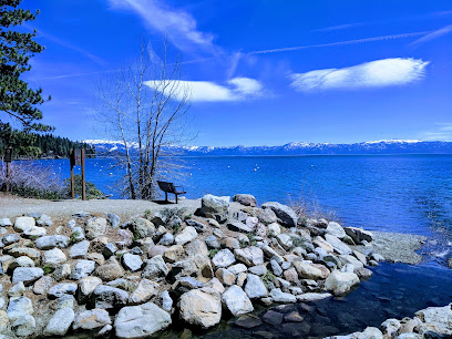
Hike to the summit of Eagle Rock, a volcanic outcrop on Lake Tahoe's west shore, for panoramic views of the lake and surrounding Sierra Nevada. This short but rewarding trail offers an accessible escape into nature.
A brief summary to Eagle Rock Trailhead
- 3370 W Lake Blvd, Homewood, California, 96141, US
Local tips
- Arrive early, especially during peak season, as parking is limited and the trail is popular.
- Wear sturdy shoes, especially for the rocky section near the summit.
- Bring water and sun protection, as the trail offers limited shade.
- Stay on the marked trail to avoid erosion and protect the surrounding environment.
Getting There
-
Driving
From Tahoe City, drive south on Highway 89 for approximately 5 miles. Look for Eagle Rock on the west side of the road, between mile markers 67 and 68. There are two small parking areas on either side of Eagle Rock. Parking is free, but spaces are limited, especially during peak hours. If the parking areas are full, you may need to park along the road, adhering to all posted parking signs. Note that there are no restroom facilities at the trailhead.
-
Walking
If you are staying in Tahoe Pines or a nearby area on the west shore of Lake Tahoe, you may be able to walk to the Eagle Rock Trailhead. From the West Lake Boulevard, head north or south on Highway 89 until you reach Eagle Rock, located between mile markers 67 and 68. Use caution when walking along Highway 89, as there may be limited shoulder space in some areas.
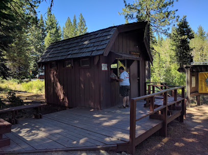
Discover more about Eagle Rock Trailhead
Iconic landmarks you can’t miss
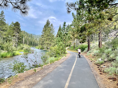
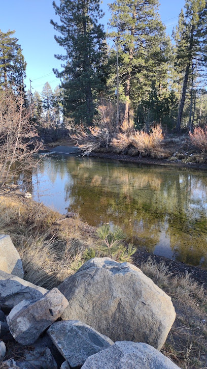
William Kent Campground
3.6 km
Lakeside camping on Tahoe's west shore, near beaches, bike trails, and Tahoe City's amenities.
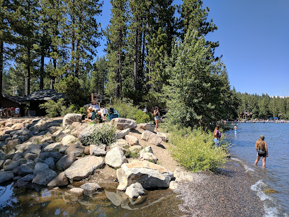
William Kent Beach
3.6 km
A scenic Lake Tahoe beach with swimming, picnic spots, and stunning views, located near Tahoe City and the William Kent Campground.
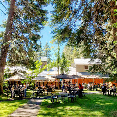
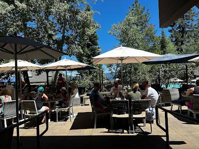
Fire Sign Café
3.7 km
Experience Tahoe's cozy charm at Fire Sign Café, serving homemade breakfast and lunch since 1978 with fresh ingredients and a welcoming atmosphere.
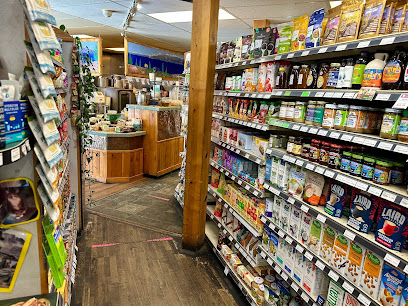
West Shore Market
3.7 km
Your go-to Tahoe City market for gourmet groceries, deli delights, local wines, and a friendly, inviting atmosphere.
The Cottage Inn at Lake Tahoe
3.8 km
Experience a romantic & rustic 'Old Tahoe' getaway at The Cottage Inn, steps from the lake & close to Tahoe City's attractions.

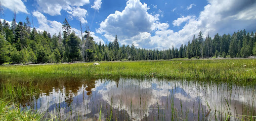
Paige Meadows Parking
4.4 km
Access scenic hiking and biking trails through vibrant meadows and forests near Tahoe City, with stunning views year-round.
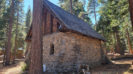
Chapel of the Transfiguration (Tahoe City, California)
5.3 km
Discover a serene and historic chapel in Tahoe City, offering a tranquil escape and a glimpse into the region's spiritual heritage and natural beauty.
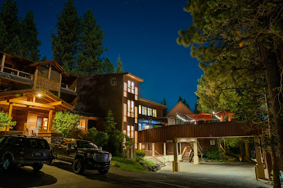
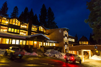
Granlibakken Tahoe
5.4 km
Experience Tahoe's historic charm at Granlibakken Tahoe, a year-round resort offering skiing, lodging, and conference facilities near Lake Tahoe.
Cedar House Pub
5.4 km
Experience cozy, lodge-style dining at Cedar House Pub in Tahoe City's historic Granlibakken, featuring a gastro pub menu and warm atmosphere.
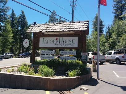
Tahoe House Bakery & Gourmet
5.7 km
A Tahoe City tradition since 1977, serving fresh-baked European-style breads, pastries, gourmet sandwiches, and specialty foods.
Tahoe Tavern Properties
5.9 km
Experience lakeside living at Tahoe Tavern Properties, where history meets modern comfort on the beautiful shores of Lake Tahoe.
64 Acres Tahoe Rim Trail Trailhead
6.4 km
Discover Lake Tahoe's backcountry: Hike, bike, or ride the Tahoe Rim Trail from the easily accessible 64 Acres Trailhead in Tahoe City.
North Lake Tahoe Resort Association
6.8 km
Your adventure starts here! Get expert advice, maps, and insider tips for exploring the best of North Lake Tahoe's attractions and activities.
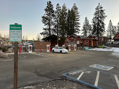
Tesla Supercharger
6.8 km
Recharge your Tesla and explore the beauty of Lake Tahoe at the convenient and accessible Tahoe City Supercharger.
Unique Nail Spa
6.9 km
Relax and rejuvenate at Unique Nail Spa in Tahoe City, offering a wide range of nail services for a pampering experience.
Unmissable attractions to see
Blackwood Canyon SNO-PARK
0.7 km
Discover the breathtaking beauty and outdoor adventures at Blackwood Canyon SNO-PARK in California's Sierra Nevada.
Chambers Landing Bar & Grill
4.2 km
Experience Tahoe's oldest bar! Enjoy stunning lake views, delicious food, and the famous Chambers Punch at this historic lakefront grill.
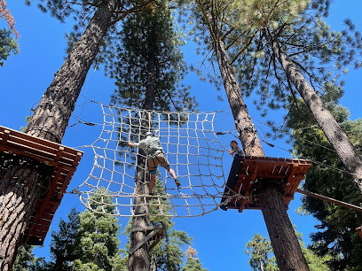
Tahoe Treetop Adventure Parks
5.3 km
Discover the exhilarating experience of zip-lining and aerial courses at Tahoe Treetop Adventure Parks, your ultimate outdoor adventure destination in California.
Ed Z'berg Sugar Pine Point State Park
6.4 km
Discover the stunning landscapes and recreational activities at Ed Z'berg Sugar Pine Point State Park, a perfect destination for nature lovers and adventure seekers.
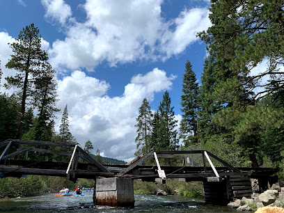
Truckee River Rafting
6.7 km
Discover the thrilling adventure of Truckee River Rafting, where stunning landscapes meet exhilarating water fun in the heart of Lake Tahoe.
North Lake Tahoe Historical Society
6.7 km
Explore the captivating history of North Lake Tahoe at the North Lake Tahoe Historical Society, where heritage meets stunning natural beauty.
William B Layton Park
6.7 km
Discover the beauty and tranquility of William B Layton Park in Tahoe City, a perfect retreat for nature lovers and families alike.
Gatekeeper's Museum
6.7 km
Explore Lake Tahoe's rich heritage and natural beauty at Gatekeeper's Museum, a must-visit for history enthusiasts and nature lovers alike.
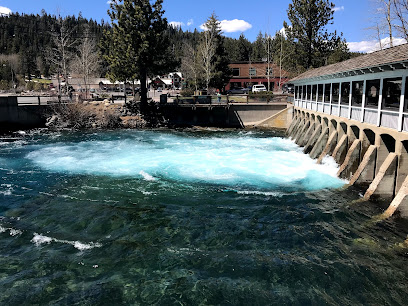
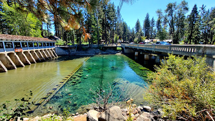
Lake Tahoe Outlet Gates (California Historical Landmark No. 797)
6.7 km
Discover the historical significance of Lake Tahoe Outlet Gates, a beautiful landmark that showcases the rich heritage of California amidst breathtaking natural beauty.
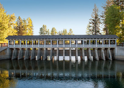
Lake Tahoe Dam
6.8 km
Experience the serene beauty of Lake Tahoe Dam, a stunning scenic spot perfect for nature lovers and outdoor enthusiasts in Tahoe City, California.
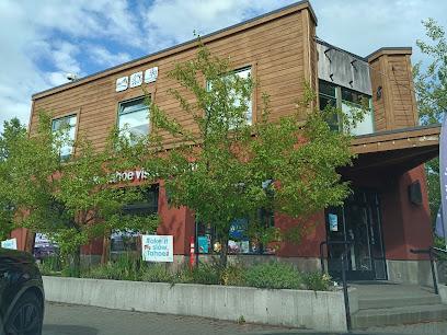
North Lake Tahoe Visitor Center in Tahoe City
6.8 km
Explore North Lake Tahoe like a local at the Visitor Center in Tahoe City, your one-stop hub for maps, guides, and insider tips for an unforgettable experience.
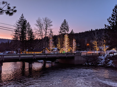
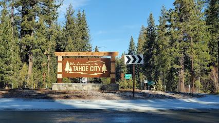
Tahoe City
6.8 km
Explore Tahoe City, California - a beautiful lakeside destination perfect for outdoor adventures, local culture, and breathtaking scenery.
Tahoe City North Trailhead
6.9 km
Discover the breathtaking trails and stunning vistas at Tahoe City North Trailhead, a must-visit hiking area near Lake Tahoe.
Tahoe City Winter Sports Park
7.0 km
Your all-inclusive winter recreation destination in Tahoe City, offering ice skating, sledding, skiing, and snowshoeing for the whole family.
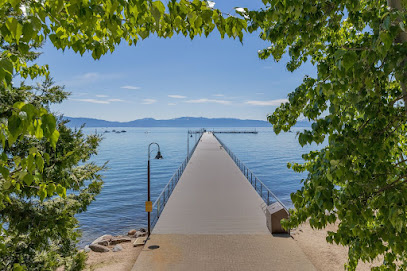
Commons Beach
7.1 km
Explore Commons Beach, a scenic retreat in Tahoe City, CA, offering sandy shores, recreational activities, and stunning views of Lake Tahoe.
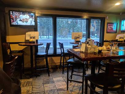
Essential places to dine
Tahoe Fusion
2.5 km
Experience the best of Asian and Mexican cuisine amidst the breathtaking scenery of Lake Tahoe at Tahoe Fusion.

West Shore Cafe and Inn
2.5 km
Experience exquisite dining at West Shore Cafe and Inn with stunning Lake Tahoe views and locally sourced cuisine.
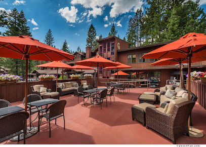
Sunnyside Restaurant & Lodge
3.5 km
Discover exceptional American cuisine at Sunnyside Restaurant & Lodge while enjoying breathtaking views of Lake Tahoe's serene beauty.
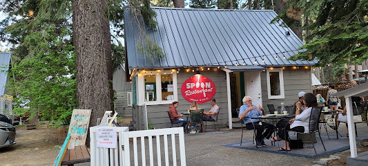
Spoon
3.7 km
Discover Spoon in Tahoe City: A premier American dining experience celebrating Californian flavors with every bite.
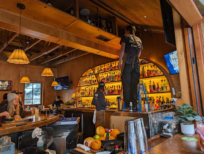
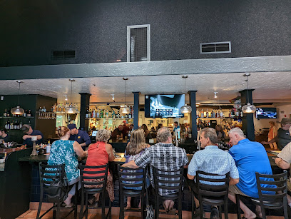
Shadyside Lounge
3.7 km
Discover Shadyside Lounge: where exquisite cuisine meets breathtaking views at Lake Tahoe's premier restaurant and bar.
Cedar House Deck
5.4 km
Discover Cedar House Deck: A cocktail bar and grill offering scenic views and delicious cuisine in the heart of Tahoe City.
Stony Ridge Uncommon Kitchen
5.8 km
Experience the best of eclectic cuisine at Stony Ridge Uncommon Kitchen in Tahoe City—where local flavors meet creative cooking.
Front Street Station Pizza
6.6 km
Experience the delightful fusion of pizza and Mexican cuisine at Front Street Station Pizza in beautiful Tahoe City.
Bridgetender Tavern and Grill
6.7 km
Experience the best of American cuisine at Bridgetender Tavern and Grill with stunning views of Lake Tahoe in every bite.
River Grill
6.7 km
Experience exquisite American cuisine at River Grill while enjoying breathtaking views of Lake Tahoe's stunning scenery.
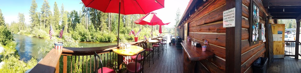
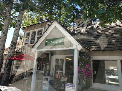
The Dam Cafe
6.7 km
Experience delightful dining at The Dam Cafe in Tahoe City—where healthful food meets stunning lake views!
Cafe Zenon
6.9 km
Discover Café Zenon: A charming breakfast café in Tahoe City serving delectable dishes amidst stunning lake views.
Pepper's
7.1 km
Discover delicious tacos and burritos at Pepper's in Tahoe City - where flavor meets affordability amidst stunning mountain views.
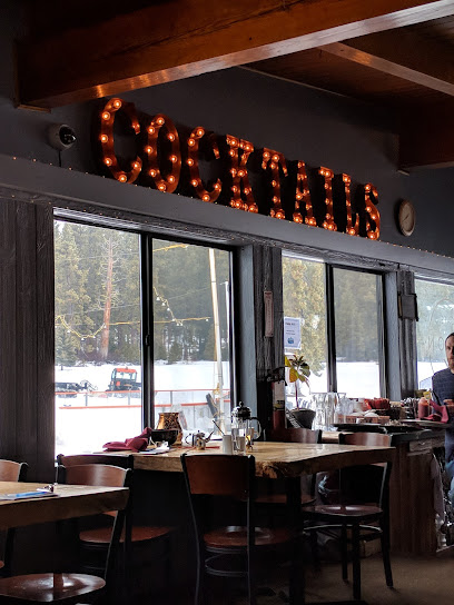
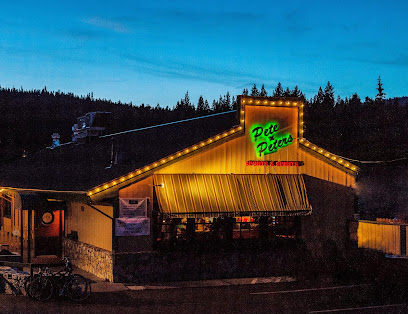
Pete 'n Peters
7.1 km
Experience the vibrant flavors of Mexico at Pete 'n Peters - your go-to sports bar in Tahoe City with delicious tacos and refreshing drinks.
Rosie's Café
7.3 km
Discover Rosie's Café in Tahoe City - your go-to destination for delicious American breakfasts in a cozy lakeside setting.
Markets, malls and hidden boutiques
New Moon Natural Foods
5.8 km
Explore a treasure trove of organic and natural products at New Moon Natural Foods in Tahoe City, where health and sustainability meet.
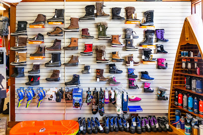
Willard's Sport Shop
6.8 km
Discover outdoor adventure at Willard's Sport Shop in Tahoe City, offering rentals and gear for skiing, biking, and water sports in stunning Lake Tahoe.
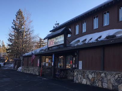
Swigard's Ace Hardware
6.9 km
Discover Swigard's Ace Hardware in Tahoe City, your ultimate destination for home improvement, tools, and expert advice in a welcoming atmosphere.
Tahoe Logowear Co
6.9 km
Explore Tahoe Logowear Co for unique custom embroidery, capturing the essence of Lake Tahoe through quality apparel and exceptional service.
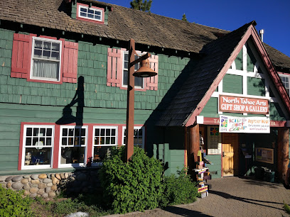
North Tahoe Arts
7.0 km
Discover unique handcrafted art and gifts at North Tahoe Arts, the heart of Tahoe City's vibrant art scene.
Lala Jewelry inside North Tahoe Arts
7.1 km
Explore Lala Jewelry at North Tahoe Arts for handcrafted treasures that capture the essence of the Tahoe region's artistry and beauty.

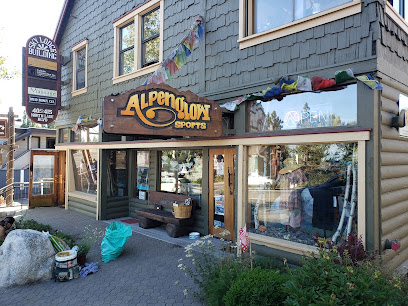
Alpenglow Sports
7.1 km
Explore the great outdoors with Alpenglow Sports, your premier destination for ski gear, camping supplies, and outdoor apparel in Tahoe City.
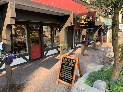
Leffler Leather Goods
7.2 km
Explore the exquisite craftsmanship of Leffler Leather Goods in Tahoe City, offering unique handmade leather products for all tastes.
The Hot Spot Tahoe ~ Pottery Painting Candle Making & More
7.2 km
Discover creativity at The Hot Spot Tahoe, where pottery painting meets candle making in a delightful art cafe experience.
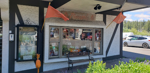
Pineapple Tahoe
7.2 km
Explore Pineapple Tahoe for unique gifts and local crafts that capture the essence of Lake Tahoe's charm and beauty.
Gravity Shop
7.2 km
Discover the ultimate cycling experience at Gravity Shop in Tahoe City, a friendly hub for bike repairs and local trail knowledge.
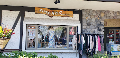
Tipsy Gypsy Boutique
7.2 km
Explore Tipsy Gypsy Boutique in Tahoe City for unique clothing and exquisite locally crafted jewelry, capturing the essence of Lake Tahoe.
Alpine Heritage
7.2 km
Discover unique gifts that reflect the beauty of the Sierra Nevada at Alpine Heritage, Tahoe City's charming gift shop.
New & Used Tahoe Sports
7.2 km
Discover unbeatable deals on ski and snowboard gear at New & Used Tahoe Sports, your go-to consignment shop in Tahoe City, California.
Lather & Fizz Bath Boutique
7.2 km
Explore Lather & Fizz Bath Boutique in Tahoe City for luxurious bath products that pamper your skin and elevate your self-care rituals.
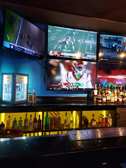
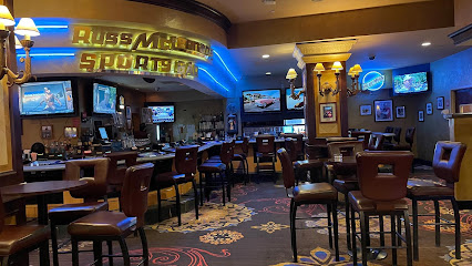
Essential bars & hidden hideouts
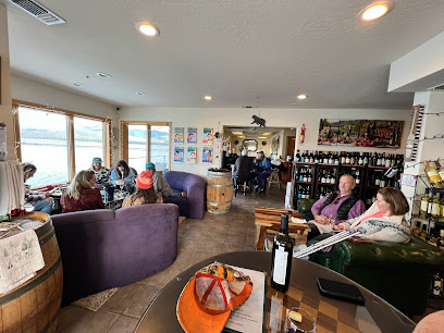
Tahoe Wine Collective
7.5 km
Discover the finest local wines at Tahoe Wine Collective, a hidden gem in Tahoe City, perfect for wine enthusiasts and casual visitors alike.
Brooks' Bar & Deck
24.2 km
Experience American cuisine with stunning lake views at Brooks' Bar & Deck, a premier dining destination on the shores of Lake Tahoe.
The Idle Hour | Lake Tahoe
24.5 km
Explore The Idle Hour: A wine bar, candy store, and event venue that encapsulates the spirit of Lake Tahoe with live music and delightful treats.
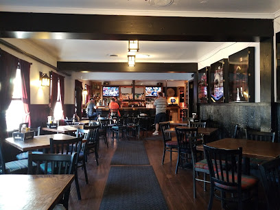
MacDuff's Pub
24.5 km
Discover MacDuff's Pub in South Lake Tahoe - a local favorite for hearty meals, refreshing drinks, and a warm, inviting atmosphere.
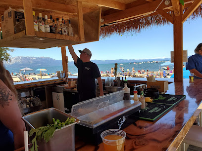
The Beach Tiki Bar
24.6 km
Experience the tropical paradise of The Beach Tiki Bar in South Lake Tahoe, where refreshing cocktails and stunning lake views create unforgettable memories.
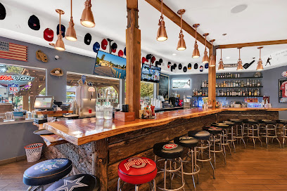
Sidelines Sports Pub
24.6 km
Catch the excitement of live sports at Sidelines Sports Pub, where delicious food and a friendly atmosphere make every visit unforgettable.
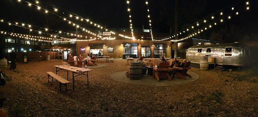
Basecamp Beer Garden
24.9 km
Experience the vibrant atmosphere and local flavors at Basecamp Beer Garden in South Lake Tahoe, where relaxation meets adventure in a stunning setting.
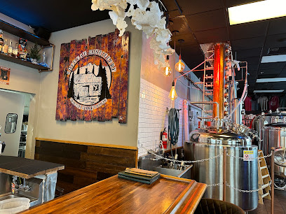
Shedcat Distillery & Kitchen
25.0 km
Discover Shedcat Distillery & Kitchen in South Lake Tahoe, where craft beverages meet exquisite dining for a truly unique culinary experience.
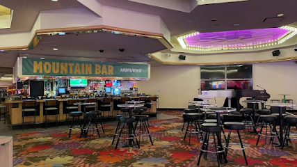
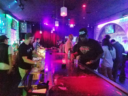
Mountain Bar
25.0 km
Discover the vibrant nightlife at Mountain Bar in Stateline, NV, where scenic views meet a lively atmosphere for the perfect evening out.
Lucky Beaver, Bar & Burger
25.1 km
Discover Lucky Beaver: a vibrant sports bar and grill in Stateline, NV, serving delicious burgers and lively entertainment for an unforgettable experience.
Center Bar
25.1 km
Experience the vibrant nightlife of Lake Tahoe at Center Bar, where great drinks and a lively atmosphere await.
Emerald Bay Bar & Grill
25.1 km
Discover delicious American cuisine and breathtaking views at Emerald Bay Bar & Grill in South Lake Tahoe, a must-visit dining spot for tourists.
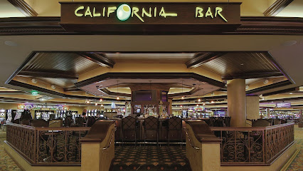
California Bar
25.2 km
Experience the vibrant nightlife at California Bar, nestled in Harrah's Lake Tahoe, perfect for unwinding with friends and enjoying live entertainment.
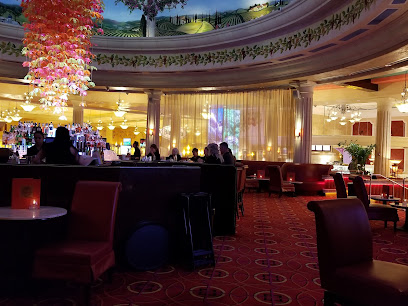
Cliché Lounge
25.2 km
Experience the vibrant nightlife and cozy ambiance of Cliché Lounge in Harrah's Lake Tahoe, where relaxation meets entertainment.

McLennan’s Bar
25.2 km
Experience the lively atmosphere and refreshing cocktails at McLennan’s Bar in Harrah's Lake Tahoe, the perfect nightlife destination.
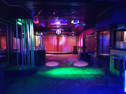
Nightclubs & after hour spots
Tahoe Club Crawl
25.1 km
Discover the vibrant nightlife of Stateline, NV at Tahoe Club Crawl - a perfect blend of clubs, lounges, and exciting tours.
Opal Ultra Lounge
25.1 km
Discover the electrifying nightlife of Opal Ultra Lounge in Stateline, Nevada, where unforgettable memories are made under the dazzling lights.
Center Stage
25.2 km
Experience vibrant nightlife at Center Stage, Harrah's Lake Tahoe, featuring live music and signature cocktails in a lively lounge atmosphere.
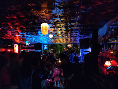
Peek Night Club
25.2 km
Discover the electrifying atmosphere of Peek Night Club at Harrah's Lake Tahoe, where unforgettable nights and vibrant entertainment await.
Nashville Social Club Carson City
34.5 km
Discover Nashville Social Club Carson City, where delicious cuisine meets exhilarating live music in a vibrant social atmosphere.
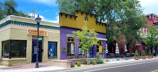
Caterpillars
34.5 km
Discover a unique blend of relaxation and entertainment at Caterpillars, Carson City's premier hookah and cocktail bar.
Miami Vibes
35.1 km
Unleash your night at Miami Vibes, where crafted cocktails, vibrant music, and an electric atmosphere await in Carson City.

Whiskey Tavern
38.1 km
Experience the charm of Whiskey Tavern in Carson City, Nevada, where great drinks and karaoke nights create unforgettable memories.
Kit Kat Ranch a Legal Nevada Brothel
44.4 km
Discover the allure of Kit Kat Ranch, Nevada's premier legal brothel and adult entertainment venue, where excitement and safety meet.
Terrace Lounge
53.2 km
Experience the lively spirit of Reno at the Terrace Lounge, where chic ambiance meets exceptional cocktails and live music.
LCB Inc
54.8 km
Discover the electrifying atmosphere of LCB Inc, Reno's top night club, offering unforgettable music and vibrant nightlife experiences.
The Loving Cup
54.8 km
Experience the vibrant nightlife of Reno at The Loving Cup, a cocktail bar and live music venue offering exquisite drinks and local performances.
The Office
55.1 km
Experience the vibrant nightlife of Reno at The Office, a stylish bar offering crafted cocktails and a relaxing atmosphere in the Riverwalk District.

Tonic Lounge
55.2 km
Experience the vibrant nightlife of Reno at Tonic Lounge, where great music and an energetic atmosphere await every night.
5 Star Saloon
55.2 km
Discover the lively atmosphere of 5 Star Saloon in Reno, a night club blending cocktails, karaoke, and community for an unforgettable night out.