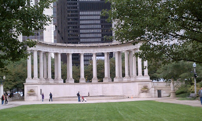
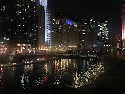
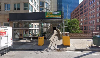
The Iconic Historic End of Route 66 Sign
Explore the Historic End of Route 66 Sign in Chicago, a nostalgic landmark celebrating the famous highway's legacy and American road trip culture.
The Historic End of Route 66 Sign in Chicago is a must-visit destination for travelers, symbolizing the famous highway's conclusion and celebrating American road trip culture. A perfect spot for memorable photos and a taste of nostalgia.
A brief summary to Historic End of Route 66 Sign
- 81 E Jackson Blvd, Chicago, Chicago Loop, Illinois, 60604, US
- Monday 12 am-12 am
- Tuesday 12 am-12 am
- Wednesday 12 am-12 am
- Thursday 12 am-12 am
- Friday 12 am-12 am
- Saturday 12 am-12 am
- Sunday 12 am-12 am
Local tips
- Visit early in the morning or late afternoon to avoid crowds and capture the best photographs.
- Combine your visit with a walking tour of the Chicago Loop to discover more historical landmarks nearby.
- Check local events as there might be celebrations or gatherings celebrating Route 66 at certain times of the year.
- Bring a map of Route 66 to enhance your experience and connect with its historical significance.
Getting There
-
Car
If you are driving, you can easily reach the Historic End of Route 66 Sign located at 81 E Jackson Blvd, Chicago, IL 60604. From anywhere in Chicagoland, you can use a GPS or a maps app to navigate to this address. If you are coming from the north, take I-90 E or I-94 E towards downtown Chicago. If you are coming from the south, take I-55 N or I-57 N, then merge onto I-90/I-94 N. Once in downtown, follow signs for the Loop. There is street parking available but be aware of parking fees which can range from $2 to $6 per hour, depending on the area. Make sure to check parking signs for any restrictions.
-
Public Transportation (CTA)
To reach the Historic End of Route 66 Sign using public transportation, you can take the Chicago Transit Authority (CTA) 'L' train. If you are near a 'Red Line' station, board the train towards 95th/Dan Ryan and disembark at 'State/Lake' station. From there, it's about a 10-minute walk: head east on Lake St, then turn left onto Wells St, and finally right onto E Jackson Blvd. Alternatively, if you're near the 'Blue Line', board towards Forest Park and transfer at 'Washington' station to the 'Pink Line' or 'Green Line' heading towards 18th or Ashland. The fare for a single ride is $2.50, and you can purchase a Ventra card or use the Ventra app to load your fare.
-
Taxi/Rideshare
If you'd prefer a more direct route, consider using a taxi or rideshare service like Uber or Lyft. Simply enter the destination, 81 E Jackson Blvd, Chicago, IL 60604, into the app, and a driver will pick you up from your location. The cost of a rideshare may vary based on your starting point and demand but it typically ranges from $15 to $30 for a ride from most areas in downtown Chicago.
Discover more about Historic End of Route 66 Sign
Iconic landmarks you can’t miss
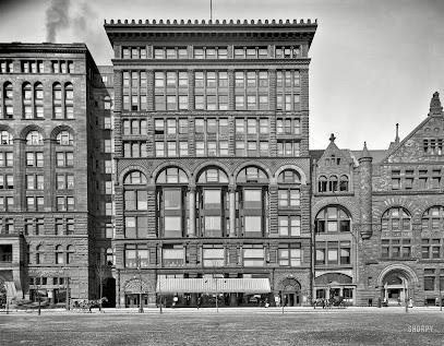
Chapin and Gore Building
0.1 km
Explore the Chapin and Gore Building, a historical gem in Chicago's Loop, showcasing exquisite architecture and rich heritage.
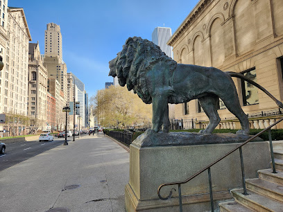
North Lion
0.2 km
Discover the North Lion in Grant Park, a stunning sculpture symbolizing Chicago's rich artistic heritage and a must-see landmark for all visitors.
Second Leiter Building
0.3 km
Explore the Second Leiter Building, a pioneering example of steel-frame architecture in Chicago's historic Loop district.
Old Colony Building
0.4 km
Experience the architectural beauty and historical significance of the Old Colony Building, a Chicago landmark that embodies the city's rich heritage.
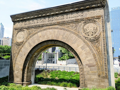
Chicago Stock Exchange Arch
0.4 km
Explore the Chicago Stock Exchange Arch, a stunning historical landmark that captures the essence of Chicago's architectural brilliance and vibrant history.
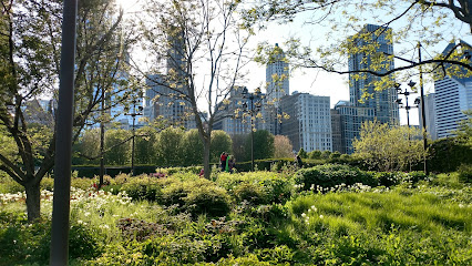
Lurie Garden
0.4 km
Discover the tranquility of Lurie Garden, a stunning urban oasis in Millennium Park, showcasing diverse flora and breathtaking views of Chicago.
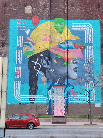
Loop Mural
0.4 km
Explore the Loop Mural in Chicago, a vibrant example of urban art that captivates and inspires, located in the heart of downtown's cultural scene.
Marquette Building
0.4 km
Explore the Marquette Building, a historical landmark in Chicago showcasing exquisite architecture and rich cultural heritage.
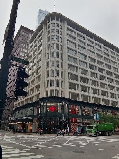
Sullivan Center
0.4 km
Explore the Sullivan Center, a historic architectural landmark in Chicago, showcasing the city's rich design heritage and stunning Beaux-Arts style.
Zero Zero Point
0.5 km
Explore Zero Zero Point, a historical landmark in Chicago where all distances in Illinois begin, surrounded by stunning architecture and vibrant city life.
Center of Chicago's Grid
0.5 km
Discover the Center of Chicago's Grid, a historic landmark where urban planning meets vibrant culture in the heart of the Windy City.
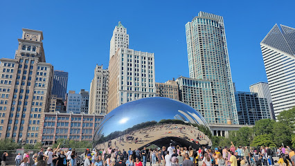
Cloud Gate
0.5 km
Discover Cloud Gate, Chicago's iconic sculpture, reflecting the city's vibrant skyline and captivating visitors with its stunning artistry in Millennium Park.
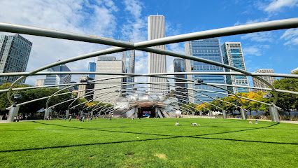
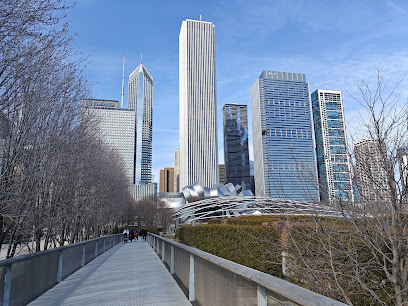
Millennium Park
0.5 km
Explore Millennium Park, Chicago's premier destination for art, nature, and unforgettable cultural experiences in the heart of the city.
Morton Building
0.5 km
Explore the rich architectural history of the Morton Building, a historical landmark in Chicago's vibrant South Loop, surrounded by modern attractions.
Great Lawn
0.5 km
Experience the tranquility of the Great Lawn in Millennium Park, a perfect blend of nature and culture in the heart of Chicago.
Unmissable attractions to see
100 E Jackson Dr
0.0 km
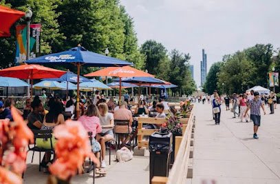
Explore Grant Park, Chicago's lush urban paradise, featuring gardens, iconic landmarks, and vibrant events in the heart of the city.
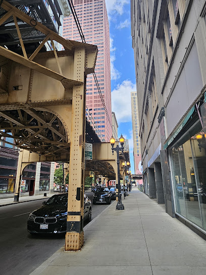
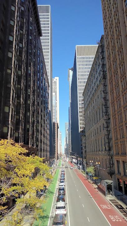
Chicago Loop
0.1 km
Experience the vibrant heart of Chicago in the Loop, where world-class attractions, dining, and entertainment await every traveler.

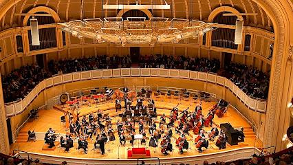
Chicago Symphony Orchestra
0.1 km
Discover the Chicago Symphony Orchestra, where world-class performances meet stunning architecture in the heart of Chicago's vibrant Loop.
Fine Arts Building
0.2 km
Explore the Fine Arts Building in Chicago Loop, a vibrant hub of creativity with art studios, concert halls, and theater productions.
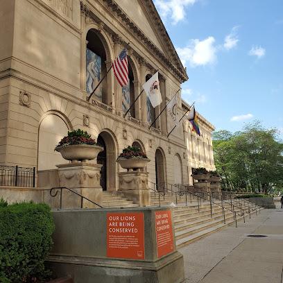
The Art Institute of Chicago
0.3 km
Discover the artistic legacy of The Art Institute of Chicago, home to timeless masterpieces and a vibrant cultural experience for every art enthusiast.
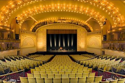
Auditorium Theatre
0.3 km
Discover the grandeur of the Auditorium Theatre, a historic venue in Chicago offering outstanding performances in a stunning architectural masterpiece.
Nichols Bridgeway
0.3 km
Experience the beauty of Chicago from the Nichols Bridgeway, a stunning pedestrian bridge connecting Millennium Park and the Art Institute, offering breathtaking skyline views.
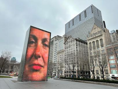
Crown Fountain
0.3 km
Discover the enchanting Crown Fountain in Millennium Park, a unique blend of art and play perfect for families and tourists in Chicago.
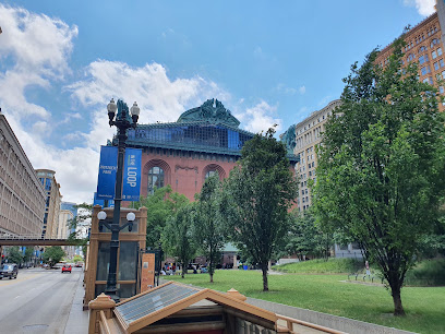
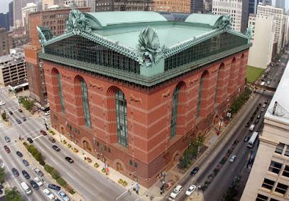
Harold Washington Library Center, Chicago Public Library
0.4 km
Explore the Harold Washington Library Center, Chicago's architectural gem and a treasure trove of knowledge, art, and community events.
Monadnock Building
0.4 km
Discover the rich architectural history of the Monadnock Building, a cherished landmark in Chicago's Loop, blending history with modern urban life.
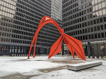
Calder's Flamingo
0.4 km
Explore Calder's Flamingo, a stunning sculpture in Chicago's Loop that epitomizes the city's artistic spirit and vibrant urban culture.
Essential places to dine
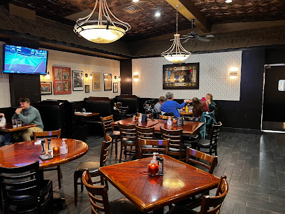
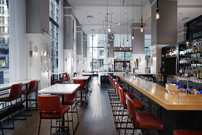
Exchequer Restaurant & Pub
0.2 km
Experience Chicago's vibrant dining scene at Exchequer Restaurant & Pub - where delicious pizza meets welcoming pub vibes.
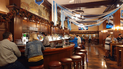
The Berghoff Restaurant
0.3 km
Experience the taste of tradition at The Berghoff Restaurant - where authentic German flavors meet American hospitality in Chicago.
Hot Woks Cool Sushi
0.3 km
Experience culinary bliss at Hot Woks Cool Sushi in Chicago's Millennium Park – where fresh sushi meets vibrant Asian flavors.

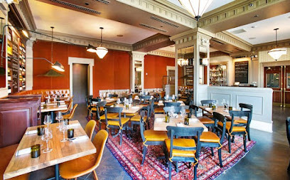
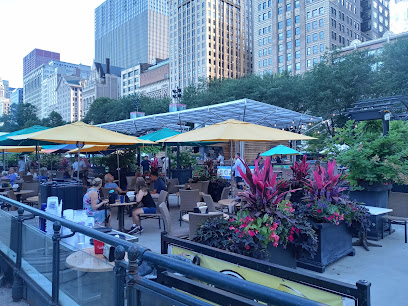
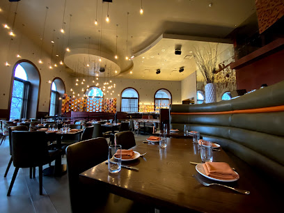
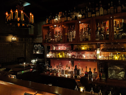
The Gage
0.3 km
Experience the vibrant flavors of American cuisine at The Gage in Chicago's Loop—where great food meets lively atmosphere.
Acanto
0.4 km
Discover Acanto: An upscale Italian restaurant and cocktail bar in Chicago Loop offering authentic cuisine and an extensive wine selection.
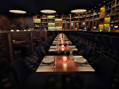
Cherry Circle Room
0.4 km
Experience exquisite American cuisine at Cherry Circle Room in Chicago's Loop, where every dish tells a story of flavor and artistry.
Remington's
0.5 km
Experience Chicago's vibrant culinary scene at Remington's – where American classics meet fine dining in an inviting atmosphere.
Double Clutch at Millennium Hall
0.5 km
Experience the vibrant flavors of Chicago at Double Clutch in Millennium Park, where every meal is a celebration of local culinary artistry.
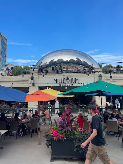
Millennium Hall
0.5 km
Experience the vibrant flavors of Chicago at Millennium Hall - where culinary creativity meets local charm.
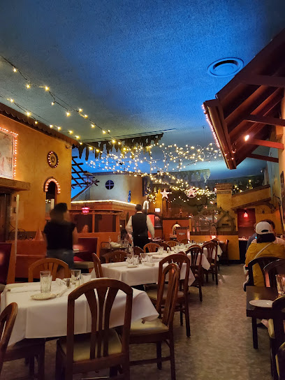
Casa Bonita at Millenium Park
0.5 km
Experience authentic Mexican cuisine at Casa Bonita in Millennium Park - where vibrant flavors meet cultural ambiance.
Napolita Pizzeria & Wine Bar at Millennium Hall
0.5 km
Experience the taste of Italy at Napolita Pizzeria & Wine Bar, where artisanal pizzas meet a vibrant atmosphere in Millennium Park.
The Village
0.5 km
Experience authentic Italian cuisine blended with American flavors at The Village in Chicago's Loop – a culinary delight you can't miss!
Mercat a la Planxa
0.6 km
Experience exquisite Spanish tapas at Mercat a la Planxa in Chicago's South Loop – where tradition meets innovation.
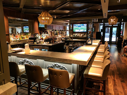
Atwood
0.6 km
Discover Atwood in Chicago Loop: A top-notch New American restaurant known for brunch delights and craft cocktails.
Roanoke Restaurant
0.7 km
Savor exquisite dishes and craft cocktails at Roanoke Restaurant in Chicago Loop - perfect for brunch or special celebrations.
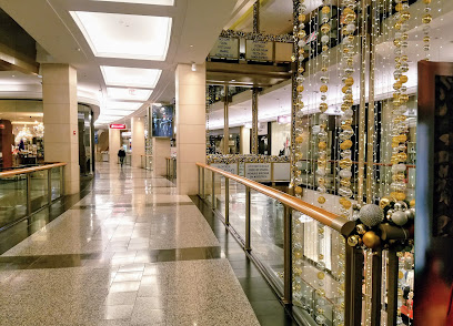
Markets, malls and hidden boutiques
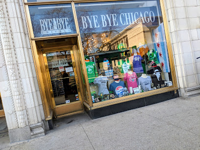
Bye Bye Chicago
0.1 km
Discover the charm of Chicago at Bye Bye Chicago, your go-to gift shop for unique souvenirs and local treasures.
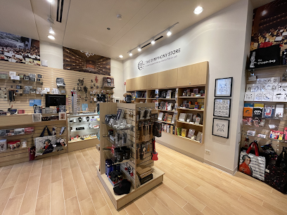
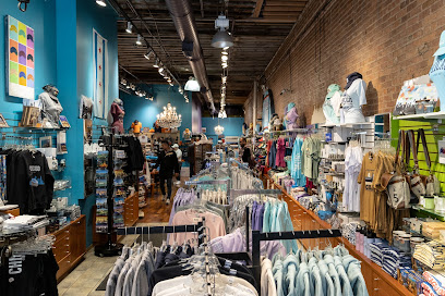
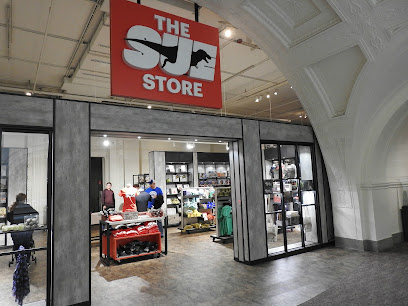
The Symphony Store
0.1 km
Explore The Symphony Store in Chicago for unique gifts and musical treasures that celebrate the city's vibrant music culture.
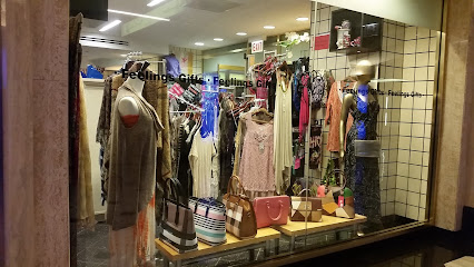
Feelings Gift Shop
0.3 km
Explore Feelings Gift Shop in Chicago Loop for unique souvenirs and handcrafted gifts that capture the heart of the Windy City.
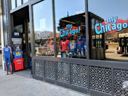
My Chicago!
0.3 km
Discover a unique blend of clothing and souvenirs at My Chicago! – your go-to destination for capturing the spirit of the Windy City.
Chicago Athletic Association Gift Shop
0.4 km
Discover unique Chicago souvenirs at the Chicago Athletic Association Gift Shop, where local culture meets exquisite gifting.
Buddy
0.6 km
Explore Buddy Gallery in Chicago Loop – a unique boutique and art gallery showcasing local craftsmanship and creativity.

YoGoe
0.6 km
Explore YoGoe Gift Shop in Chicago Loop for unique, locally sourced gifts and souvenirs that capture the spirit of the Windy City.

After School Matters Gift Shop
0.7 km
Explore the After School Matters Gift Shop: A unique Chicago destination for handcrafted gifts that support local youth programs.

I Love Chicago
1.0 km
Discover unique Chicago gifts and souvenirs at I Love Chicago, the ultimate destination for local treasures and memorabilia.
Kyrgyzstan
1.2 km
Explore the heart of Kyrgyzstan through its unique gifts and handcrafted treasures at this charming shop, perfect for every traveler.
Roosevelt Collection Shops
1.3 km
Explore the Roosevelt Collection Shops for a unique shopping experience in Chicago, blending local boutiques with popular brands in a lively atmosphere.
Lively Gifts
1.4 km
Discover unique souvenirs and local treasures at Lively Gifts, a charming gift shop in the heart of Chicago's Near North Side.
The Shops at North Bridge
1.5 km
Discover a retail haven at The Shops at North Bridge, where shopping meets dining in the heart of Chicago's vibrant atmosphere.
Raw Edge Magnificent Mile - Modern Artisan Boutique
1.5 km
Explore Raw Edge Magnificent Mile for unique artisan gifts that capture the essence of Chicago's vibrant culture and creativity.
The Sue Store
1.5 km
Explore The Sue Store for unique dinosaur-themed gifts and souvenirs at the Field Museum, celebrating the legacy of Sue, the iconic T. rex.
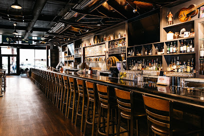
Essential bars & hidden hideouts
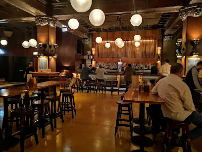
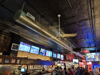
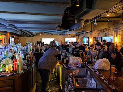
2Twenty2 Tavern
0.2 km
Experience Chicago's nightlife at 2Twenty2 Tavern, a lively bar offering craft beers, cocktails, and delicious cuisine in the heart of the Loop.
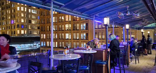
Panchos Rooftop Cantina
0.3 km
Experience the vibrant flavors of American cuisine and stunning skyline views at Panchos Rooftop Cantina in the heart of Chicago.
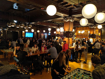
The Game Room
0.4 km
Experience the vibrant nightlife of Chicago at The Game Room, where great drinks and games create unforgettable moments.
Cindy's Rooftop
0.4 km
Experience breathtaking views and exquisite dining at Cindy's Rooftop, a premier bar and restaurant in the heart of Chicago's Loop.
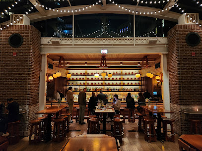
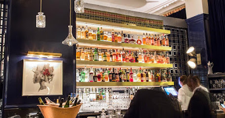
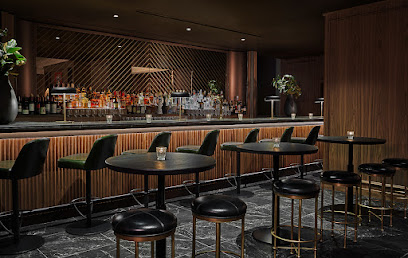
Drawing Room
0.4 km
Discover chic elegance at The Drawing Room, Chicago's premier lounge for American cuisine and signature cocktails.
The Milk Room
0.4 km
Experience the epitome of luxury at The Milk Room, Chicago's exclusive bar offering innovative cocktails in an intimate setting.
Adamus Lounge
0.4 km
Adamus Lounge: A Chic American Dining Experience in the Heart of Chicago's Loop.
Kasey's Tavern
0.6 km
Discover Kasey's Tavern, a beloved pub in Chicago's South Loop, offering delicious food, a welcoming atmosphere, and a wide selection of drinks.
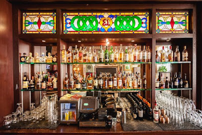
Vol. 39
0.7 km
Discover the sophistication of Vol. 39 in Chicago, where exquisite cocktails and an elegant atmosphere await your next visit.
MBar - Millennium Station
0.7 km
Experience the vibrant spirit of Chicago at MBar - a modern bar offering unique cocktails and a lively atmosphere in Millennium Station.
Emerald Loop Bar & Grill
0.9 km
Discover the perfect blend of American cuisine and Irish pub charm at Emerald Loop Bar & Grill in the heart of Chicago's Loop.
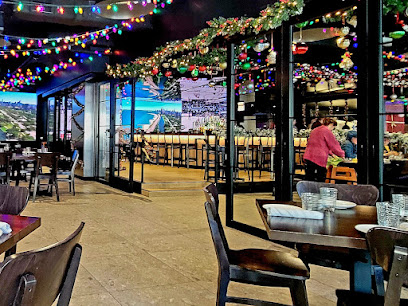
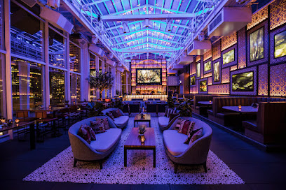
RAISED | An Urban Rooftop Bar
0.9 km
Discover RAISED | An Urban Rooftop Bar in Chicago Loop for stunning views, handcrafted cocktails, and vibrant social atmosphere.
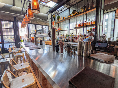
Bar Pendry Chicago
0.9 km
Discover the elegance of Bar Pendry in Chicago Loop, where innovative cocktails meet a stylish atmosphere for a memorable night out.
320 River Bar
1.2 km
Discover the vibrant atmosphere and exquisite flavors at 320 River Bar, a must-visit bar and restaurant in the heart of Chicago.
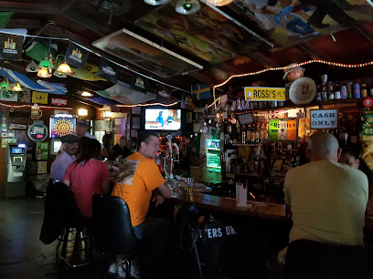
Rossi's
1.3 km
Experience the vibrant nightlife at Rossi's Bar in Chicago's Near North Side, where great drinks and an inviting atmosphere await.
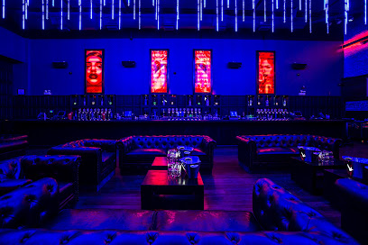
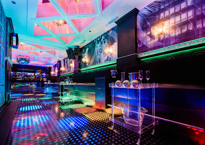
Nightclubs & after hour spots
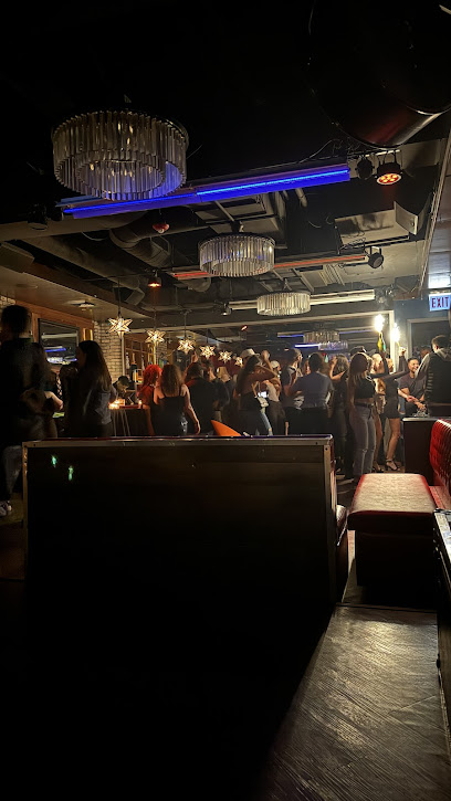
Brando's Speakeasy
0.4 km
Experience the thrill of karaoke at Brando's Speakeasy, a lively bar in Chicago's Loop, perfect for music lovers and night owls alike.
YES Bar
0.6 km
Experience the vibrant nightlife of Chicago at YES Bar, where unforgettable evenings of music and dancing await.
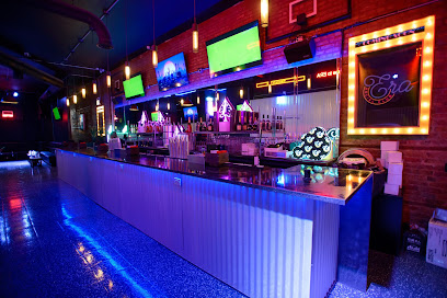
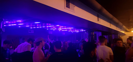
Era Social Club
0.6 km
Discover the electrifying nightlife at Era Social Club in Chicago Loop, where pulsating beats and vibrant crowds create unforgettable evenings.
Braceria Se nni mondo esistesse un po' di bene
0.8 km
Experience the vibrant nightlife of Chicago at Braceria Se nni mondo esistesse un po' di bene, where great food, drinks, and music come together.
ROOF on theWit
0.9 km
Discover the breathtaking views and vibrant nightlife at ROOF on theWit, Chicago's premier rooftop lounge with delicious American cuisine and live music.
The PIMCO Midway Club
1.3 km
Discover The PIMCO Midway Club in Chicago - a stylish lounge offering American cuisine, crafted cocktails, and an inviting atmosphere for relaxing evenings.
Bodega Nightclub
1.3 km
Discover the electrifying atmosphere of Bodega Nightclub, Chicago's hotspot for nightlife, unique music, and unforgettable dance parties.
Sunset Lounge
1.3 km
Discover the vibrant nightlife of Chicago at Sunset Lounge, a stylish night club offering exquisite cocktails and an electrifying atmosphere.
ROCBAR
1.3 km
ROCBAR: A Premier Night Club in Chicago Offering Vibrant Atmosphere, Great Music, and Unforgettable Nights Out.
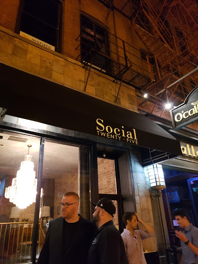
Social Twenty-Five
1.4 km
Discover the electrifying nightlife at Social Twenty-Five in Chicago's Near North Side, where music, drinks, and dancing await you.
Palyaudvar
1.4 km
Discover the electrifying nightlife of Chicago at Palyaudvar, where music, dance, and vibrant energy come together for an unforgettable experience.
RockHard Chicago at Tunnel
1.4 km
Discover the electrifying nightlife at RockHard Chicago at Tunnel, where top DJs and vibrant atmosphere promise an unforgettable experience.
Tunnel
1.4 km
Experience the electrifying nightlife at Tunnel, Chicago's top destination for dancing, cocktails, and unforgettable memories.
DISCO
1.4 km
Discover the heart of Chicago's nightlife at DISCO, where vibrant music and pulsating energy create unforgettable nights.
MASQ
1.4 km
Dive into a dazzling nightlife experience at MASQ, a top Chicago night club that offers thrilling music and an electrifying atmosphere.