

Free River Parishes Travel Guide & Mobile App
Explore River Parishes with free travel guides. Discover regional history, expert tips, proposed trips, and audio guides on web or mobile app.


Explore Louisiana's River Parishes for plantation history, sugar-cane country, Mississippi landscapes, wetlands and distinctive Cajun-Creole food.
Read more about River Parishes
Getting to and around River Parishes
How to get there
Transportation
Top city travel guides in River Parishes
The cities of River Parishes, and the easiest places to base yourself.

Swipe for more cities
Destinations in River Parishes
Resorts, valleys and scenic spots worth a trip of their own.
-

-


Swipe for more destinations
Best attractions in River Parishes
The River Parishes offer a varied group of attractions linked by the Mississippi rather than a single concentrated centre. Plantation museums form the best-known element: Destrehan Plantation in St Charles Parish, San Francisco Plantation and Whitney Plantation in St John the Baptist Parish, and Laura Plantation, Evergreen Plantation, Oak Alley and Houmas House in St James Parish each present different combinations of architecture, gardens, agriculture and difficult social history. Their interpretations vary, so visiting more than one provides a broader understanding of sugar production and enslavement. Wetland excursions explore cypress-lined waterways and the wildlife of the backswamps, while the Bonnet Carre Spillway reveals the scale of modern flood management. Along the river, levee roads, sugar fields, small parish communities and industrial views create a distinctive driving landscape. Birdwatching, photography and guided nature trips are particularly rewarding in cooler seasons, although summer offers strong wildlife activity and demanding heat. Museums and community venues are more modest in scale than those of New Orleans, but they help connect the region's plantation past with its continuing agricultural, maritime and industrial life.
-
History museum
Oak Alley Plantation
Discover the charm and history of Oak Alley Plantation, where ancient oaks whisper tales of the South's past amidst stunning landscapes.
-
History museum
Whitney Plantation
Experience the profound history of Whitney Plantation, dedicated to the stories of enslaved people and their enduring legacy in Louisiana.
-
Boat tour agency
Cajun Pride Swamp Tours
Experience the breathtaking beauty and rich culture of Louisiana's wetlands with Cajun Pride Swamp Tours, a must-see for every traveler.
-
Historical place museum
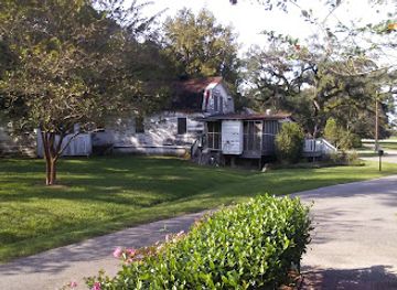
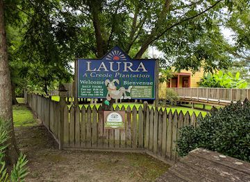
Laura Plantation: Louisiana's Créole Heritage Site
Experience the captivating Creole heritage of Louisiana at Laura Plantation, where history comes alive through engaging tours and beautiful landscapes.


Best landmarks in River Parishes
The Mississippi River levee is the River Parishes' defining geographical landmark, a continuous reminder that settlements, farms, roads and historic estates occupy land shaped and protected by the river. Destrehan Plantation is one of the region's important surviving plantation houses, while San Francisco Plantation is recognised for its ornate nineteenth-century interiors and architecture. Whitney Plantation, Laura Plantation, Evergreen Plantation, Oak Alley and Houmas House contribute different visual and historical markers to the River Road landscape, from grand avenues and gardens to buildings associated with enslaved labour and sugar production. The Bonnet Carre Spillway near Norco is a major engineering landmark designed to divert floodwater towards Lake Pontchartrain. Farther upriver, the Sunshine Bridge crosses the Mississippi near St James Parish and forms a conspicuous modern counterpart to the historic estates. Tall petrochemical structures, sugar-cane fields, church buildings and levee-side communities complete a landscape in which natural, agricultural, industrial and architectural landmarks are closely interwoven.
-
Historical landmark
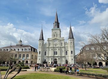
Jackson Square
Experience the vibrant culture and rich history at Jackson Square, New Orleans' iconic historical landmark and lively city park.
-
History museum
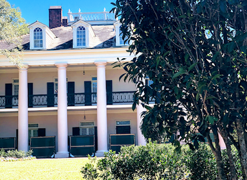
Oak Alley Plantation
Experience the beauty and history of Oak Alley Plantation, a quintessential representation of Louisiana's antebellum era surrounded by majestic oak trees.
-
Historical place museum
Laura Plantation: Louisiana's Créole Heritage Site
Explore the captivating Creole heritage at Laura Plantation, a premier historical site in Louisiana, rich with culture and stunning landscapes.
-
Historical place museum
Houmas House Estate and Gardens
Discover the enchanting Houmas House Estate and Gardens, where history meets stunning landscapes and exquisite Creole cuisine in the heart of Louisiana.
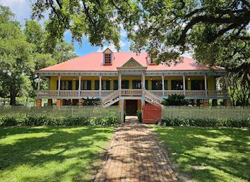

Explore River Parishes on the map
Plan your trip on one map. See where the top cities, national parks and sights are, and book hotels and experiences in a few clicks.
Best hotels in River Parishes
Best restaurants in River Parishes
Dining in the River Parishes reflects the wider food culture of southern Louisiana while retaining a strong connection to local agriculture and waterways. Expect seafood, fried fish, shrimp, crab, crawfish when in season, rice dishes, gumbo, jambalaya, étouffée, boudin and cracklins, alongside burgers, po'boys and plate lunches at informal cafés and roadside counters. Cajun and Creole influences overlap, but recipes and terminology vary between families and communities, so menus are often more useful than rigid labels. River Road restaurants and plantation properties may offer polished interpretations of regional cooking, while small-town eateries provide a more everyday experience. Sugar-cane country also supports sweet pastries, praline-style confections and other Louisiana treats, though these are part of the state's broader culinary tradition rather than exclusive River Parishes inventions. Farmers' markets and seasonal seafood outlets can be worthwhile stops, but availability depends on parish, weather and harvest conditions.
-
Seafood
Parrain's Seafood Restaurant
Experience authentic Louisiana seafood at Parrain's Seafood Restaurant in Baton Rouge – a must-visit for food lovers!
-
Seafood
Middendorf's Manchac
Discover the flavors of Louisiana at Middendorf's Manchac—where fresh seafood meets Southern hospitality.
-
American
The Chimes Covington
Discover delicious American cuisine at The Chimes Covington - a contemporary restaurant blending local flavors with vibrant ambiance.
-
Historical place museum
Houmas House Estate and Gardens
Explore Houmas House Estate and Gardens: A Historical Gem with Stunning Gardens and Authentic Creole Cuisine.

Best bars in River Parishes
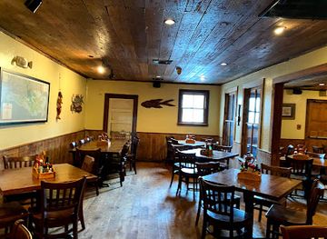
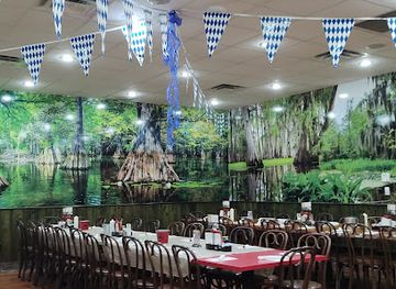
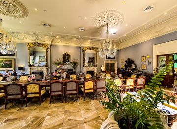
Evenings in the River Parishes are generally quieter than in New Orleans and centre on neighbourhood bars, casual restaurants, pool halls, historic-style pubs and occasional live-music settings rather than a large nightclub scene. Luling, Destrehan, Reserve, Garyville, Gramercy, Lutcher and nearby parish towns provide local places to eat and drink, but nightlife is dispersed and opening arrangements can change. Some evenings may feature regional music, community events or seasonal gatherings, while rural areas often become quiet relatively early. Louisiana beer, cocktails and other drinks appear alongside familiar American offerings, yet alcohol is not necessary to experience the region's evening culture. Plan transport before drinking, particularly where accommodation and restaurants are separated by the river, interstate or dark rural roads, and avoid assuming that a plantation attraction or wetland operator offers late-night facilities.
-
American
The Francis Southern Table & Bar
Discover The Francis Southern Table & Bar in St. Francisville, LA for an authentic taste of American cuisine and Southern hospitality.
-
Restaurant
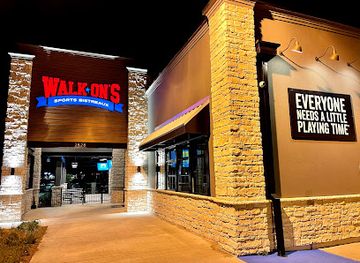
Walk-On's Sports Bistreaux - Gonzales (Tanger Outlets)
Experience the thrill of sports and culinary delight at Walk-On's Sports Bistreaux in Gonzales, Louisiana - where every meal is a celebration.
-
Seafood
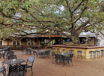
Frenier Landing Restaurant and Oyster Bar
Discover the flavors of Louisiana at Frenier Landing Restaurant and Oyster Bar, a seafood haven with stunning bayou views and a vibrant atmosphere.
-
Restaurant
Chili's Grill & Bar
Experience the best of American and Tex-Mex cuisine at Chili's Grill & Bar in LaPlace, perfect for families and friends alike.

Best nightclubs in River Parishes
Evenings in the River Parishes are generally quieter than in New Orleans and centre on neighbourhood bars, casual restaurants, pool halls, historic-style pubs and occasional live-music settings rather than a large nightclub scene. Luling, Destrehan, Reserve, Garyville, Gramercy, Lutcher and nearby parish towns provide local places to eat and drink, but nightlife is dispersed and opening arrangements can change. Some evenings may feature regional music, community events or seasonal gatherings, while rural areas often become quiet relatively early. Louisiana beer, cocktails and other drinks appear alongside familiar American offerings, yet alcohol is not necessary to experience the region's evening culture. Plan transport before drinking, particularly where accommodation and restaurants are separated by the river, interstate or dark rural roads, and avoid assuming that a plantation attraction or wetland operator offers late-night facilities.
-
Bar
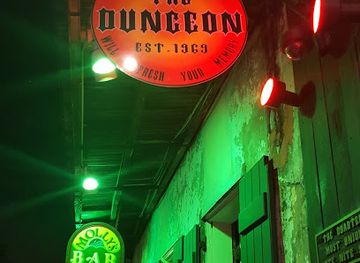
The Dungeon
Experience the electrifying nightlife at The Dungeon, New Orleans' premier rock music bar and nightclub in the heart of the French Quarter.
-
Night club
The Rabbit Hole
Discover the vibrant nightlife at The Rabbit Hole in New Orleans, where great music and cocktails create an unforgettable atmosphere.
-
Adult entertainment club
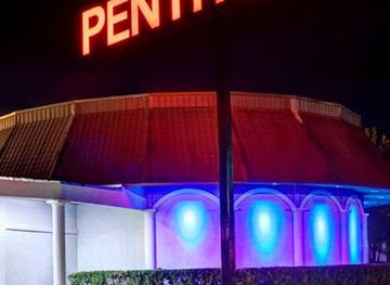
The Penthouse Club - Baton Rouge
Discover Baton Rouge's premier adult entertainment venue, The Penthouse Club, where nightlife meets sophistication and excitement.
-
Night club
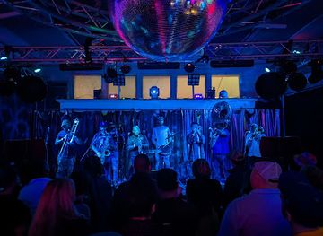
Club Caribbean New Orleans Reggae Club
Immerse yourself in the vibrant Caribbean culture at Club Caribbean New Orleans, where live reggae beats and friendly vibes create an unforgettable night out.

Best shops in River Parishes
Shopping in the River Parishes is modest and locally focused rather than centred on major retail districts. Small parish towns provide practical shops, independent businesses, antiques and occasional galleries, while plantation properties sell books, historic reproductions, crafts, food gifts and items connected with Louisiana culture. Farmers' markets and seasonal stalls may offer local produce, baked goods, preserves, seafood and regional specialities, although dates and availability vary by community and season. Boudin, cracklins, hot sauces, praline-style sweets and Louisiana spice blends make useful food souvenirs when purchased from reputable vendors and transported appropriately. Visitors interested in the region's history should prioritise museum bookshops, where titles on slavery, sugar, architecture and African American heritage offer more meaningful keepsakes than generic plantation memorabilia. For broader retail choice, large shopping areas are more readily found outside the River Parishes in the New Orleans or Baton Rouge metropolitan areas.
-
Shopping mall
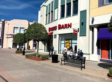
Louisiana Boardwalk
Discover the Louisiana Boardwalk: A vibrant shopping and dining destination along the scenic Red River in Bossier City.
-
Gift shop
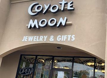
Coyote Moon Crystals & Gifts
Explore Coyote Moon Crystals & Gifts in Baton Rouge for unique crystals, jewelry, and metaphysical supplies that reflect the spirit of Louisiana.
-
Antique store
Cajun Village Antiques
Explore vintage treasures and local crafts at Cajun Village Antiques in Sorrento, Louisiana, a delightful stop for history and culture lovers.
-
Gift shop
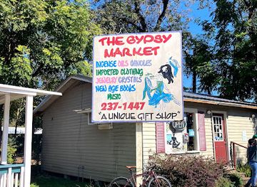
The Gypsy Market
Explore The Gypsy Market in Lafayette for unique gifts and local artisan treasures that capture the essence of Louisiana's vibrant culture.
Get your free copy of our complete guide to River Parishes, delivered straight to you.
Everything on this page, from attractions and restaurants to essentials and local phrases, in one PDF you can read offline, print or share.
Already have an account? Sign in
Your River Parishes guide is ready.
We'll send it to · Not you? Sign out

Getting your guide ready…
We are putting together a fresh copy of the River Parishes guide. This can take up to a minute.
This can take a few moments. If your browser asks, choose Allow so the download can start. You'll find the guide in your Downloads folder.
Nothing happened? Download it again
Sorry, the guide is taking longer than usual. Please try again in a minute, or get it by email instead.
River Parishes essentials
Currency and Payment
Safety
Emergency Situations
Do's and Don'ts
Local Tips
History of River Parishes
Indigenous River and Wetland Landscapes
Long before European settlement, Indigenous peoples used the Mississippi corridor, its distributaries and surrounding wetlands for travel, fishing, hunting and trade. The river's natural levees offered relatively dry ground for settlement, while the swamps supplied timber, wildlife and aquatic resources. Later colonial development followed these same geographical advantages. Although much of the visible historic landscape dates from the plantation era, the region's human history begins with Indigenous knowledge of a complex environment that remains fundamental to life along the river.
French and Spanish Colonial Settlement
French colonists established settlements along the lower Mississippi during the eighteenth century, organising land in narrow concessions with river frontage. This pattern allowed each property access to transport, fertile alluvial soil and the river's levee. French rule was followed by Spanish administration before Louisiana became part of the United States. Catholic institutions, place names, legal traditions and architectural forms from the colonial period continued to influence the communities that developed in the River Parishes.
Sugar Plantations and Enslaved Labour
By the nineteenth century, sugar cane had become the dominant commercial crop on the fertile Mississippi alluvial plain. Large plantations depended on the forced labour of enslaved Africans and African Americans, whose agricultural expertise, craftsmanship and cultural life shaped the region while they endured violence and the denial of freedom. Plantation houses and surviving rural layouts are only one part of this history; quarters, work areas, cemeteries and oral traditions also point to the people whose labour created the area's wealth.
Louisiana Purchase and American Expansion
The 1803 Louisiana Purchase transferred the territory from France to the United States and accelerated American political and economic influence. River transport connected local sugar estates with New Orleans and wider markets, while changing laws and land ownership patterns reshaped the parishes. The region remained culturally linked to French-speaking Louisiana even as English became increasingly dominant. Its plantation economy was integrated into national commerce through the Mississippi, whose strategic importance also made the corridor significant during later military campaigns.
Civil War and Emancipation
The Mississippi corridor was drawn into the American Civil War because control of the river was vital to both Union and Confederate strategy. Military activity, occupation and disruption affected plantations and river communities, while emancipation transformed the labour system on which sugar production had depended. Freedom did not bring economic equality: many formerly enslaved people remained tied to plantation agriculture through unequal contracts and later systems of debt and racial control. Memorials, historic cemeteries and plantation interpretation preserve parts of this difficult transition.
Reconstruction and the Sugar Economy
After the Civil War, the River Parishes struggled to rebuild an industry damaged by conflict, labour upheaval and fluctuating markets. Sugar remained important, but production increasingly relied on wage labour, tenant arrangements and mechanisation over time. African American communities developed churches, schools, businesses and civic institutions despite segregation and disenfranchisement. The rural road network, river landings and parish towns that visitors see today reflect this long period in which agriculture, race relations and access to land shaped everyday life.
Industry Along the Mississippi
During the twentieth century, the Mississippi corridor attracted petrochemical, chemical and manufacturing investment because of its river access, transport connections and proximity to energy infrastructure. The concentration of facilities between New Orleans and Baton Rouge later became widely known as the Chemical Corridor. In the River Parishes, industrial employment and economic development exist alongside concerns about pollution, public health and environmental justice. The result is a landscape where sugar fields, historic estates, wetlands and major industrial plants stand unusually close together.
River Parishes in Photos
Browse through our photo collection highlighting the charm and character of the destination.
Neighbouring regions of River Parishes
The closest regions to River Parishes, if you have time for more than one.
-
-

-

-

-


Swipe for more regions
Explore more

Explore more of Louisiana
Discover Louisiana: A melting pot of cultures, flavors, and music in the heart of the American South. Experience the vibrant heritage and natural beauty of the Bayou State.
Explore Louisiana