

Free The Yazoo Basin Travel Guide & Mobile App
Explore The Yazoo Basin with free travel guides. Discover regional history, expert tips, proposed trips, and audio guides on web or mobile app.


Explore Mississippi's Yazoo Basin for Delta blues heritage, river landscapes, Indigenous mounds, wildlife refuges and historic agricultural towns.
Read more about The Yazoo Basin
When is the best time to visit The Yazoo Basin?
Best: March–April, October · 24–28°C| Month | High (°C) | Rainfall (mm) |
|---|---|---|
| January | 17 | 112 |
| February | 19 | 117 |
| March (best) | 24 | 137 |
| April (best) | 28 | 128 |
| May | 31 | 135 |
| June | 34 | 111 |
| July | 36 | 121 |
| August | 36 | 111 |
| September | 32 | 107 |
| October (best) | 26 | 98 |
| November | 21 | 125 |
| December | 17 | 127 |
Getting to and around The Yazoo Basin
How to get there
Transportation
Top city travel guides in The Yazoo Basin
The cities of The Yazoo Basin, and the easiest places to base yourself.
-

-

-

-

-

-


Swipe for more cities
Destinations in The Yazoo Basin
Resorts, valleys and scenic spots worth a trip of their own.
-

-

-

-
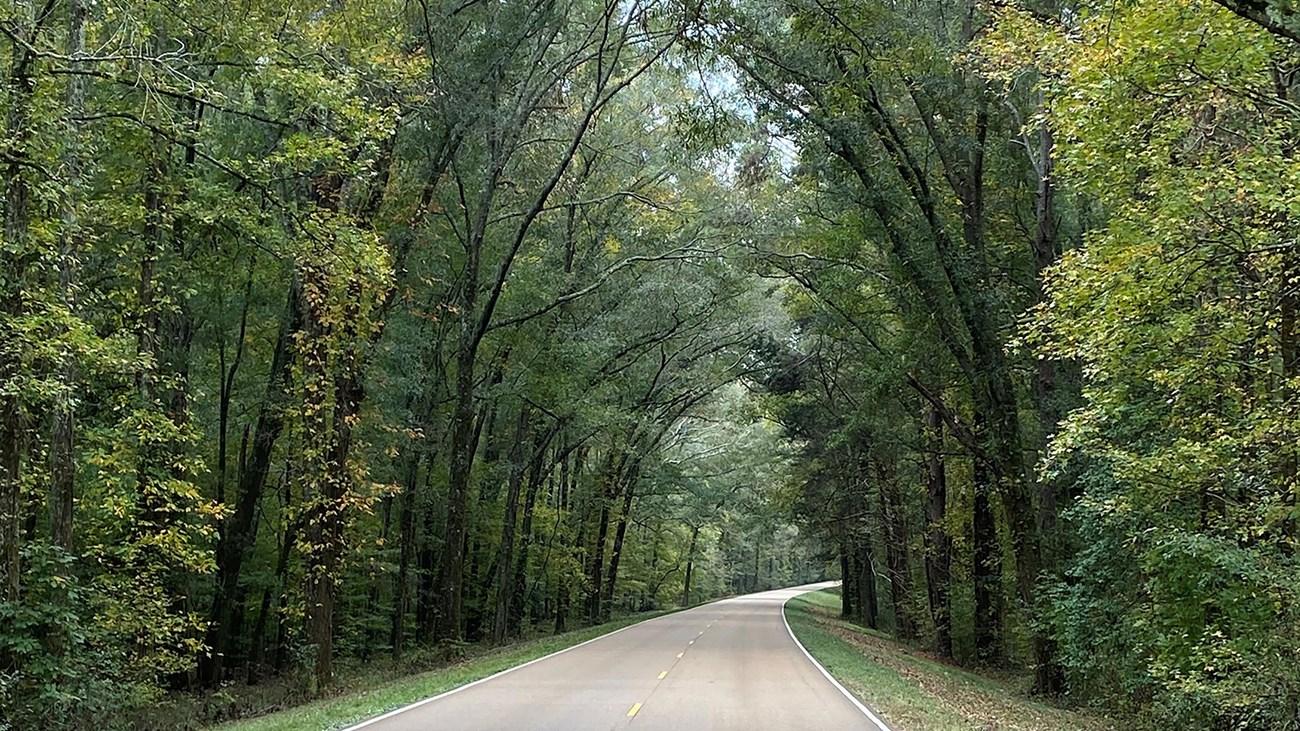 Natchez Trace Parkway
Explore the scenic, historic, and cultural wonders of the Natchez Trace Parkway, a 444-mile journey through the heart of the American South.
-

-


Swipe for more destinations
Best attractions in The Yazoo Basin
The Yazoo Basin's attractions are spread across a working agricultural landscape rather than concentrated in a single resort centre. Indigenous history is represented most powerfully by Winterville Mounds near Greenville, where platform mounds and a museum explain the region's prehistoric ceremonial traditions. Blues travellers can follow the cultural links among Cleveland, Indianola and Clarksdale, visiting institutions such as the Grammy Museum Mississippi, the B.B. King Museum and Delta Interpretive Center, and the Delta Blues Museum. The Mississippi River provides a contrasting experience at Greenville and other river communities, while levees, landings and broad floodplain views reveal how water has shaped settlement. Wildlife refuges and state-managed natural areas, including Yazoo National Wildlife Refuge and Leroy Percy State Park, protect wetlands, lakes, bottomland forest and bird habitat. Historic downtowns, local museums, churches and civic buildings add social and architectural context, though opening arrangements can be limited in smaller communities. Outdoor activities are generally quiet and seasonal: birdwatching, fishing where permitted, photography, paddling in suitable waterways and scenic driving are more characteristic than developed adventure tourism.
-
Science museum
INFINITY Science Center
INFINITY Science Center: Dive into the universe of science and innovation in Mississippi's premier science museum, perfect for families and curious explorers.
-
Museum
USS Cairo Gunboat and Museum
Discover the USS Cairo Gunboat and Museum in Vicksburg, where history comes alive through the story of a Civil War ironclad.
-
Museum
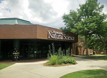
Mississippi Museum of Natural Science
Explore Mississippi's natural wonders at the Mississippi Museum of Natural Science, a must-visit science museum in Jackson.
-
Historical landmark
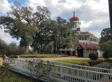
Longwood
Discover Longwood, a historic mansion in Natchez, MS, showcasing unique octagonal architecture and the rich heritage of antebellum life.

Best landmarks in The Yazoo Basin
Winterville Mounds is the Yazoo Basin's most important archaeological landmark, with its large earthworks and ceremonial layout marking the sophistication of prehistoric Indigenous society in the lower Delta. The Mississippi River and its levee system form another defining geographic landmark, particularly around Greenville, where the riverfront expresses the basin's historic dependence on navigation, trade and flood control. The Yazoo River gives Yazoo City and Greenwood their names and helps explain the region's unusual network of waterways. Dockery Farms, near Cleveland, is an important blues-associated historic place whose agricultural setting connects music with plantation labour and African American community history. In Clarksdale, the historic crossroads associated with blues memory has become a powerful cultural symbol, while local downtowns preserve commercial buildings from the period when cotton and river trade drove urban growth. The region's landmarks are therefore not limited to monumental architecture: mounds, waterways, levees, crossroads, courthouses and agricultural landscapes together reveal how Indigenous settlement, forced labour, commerce, flood engineering and music shaped the Delta.
-
Bed & breakfast
The Belmont 1857
Experience Southern charm and history at The Belmont 1857, a beautifully restored antebellum mansion in the heart of the Mississippi Delta.
-
Nature preserve
Greenville Cypress Preserve Trust
Discover a serene cypress forest in the heart of the Mississippi Delta; a natural oasis for walking, birding, and photography.
-
Museum
Winterville Mounds Museum
Explore ancient Native American mounds in Mississippi, a window into a fascinating civilization that thrived over a thousand years ago.
-
Museum
Catfish Museum and Welcome Center
Discover the story of farm-raised catfish at the Catfish Museum and Welcome Center in Belzoni, the 'Catfish Capital of the World'.


Explore The Yazoo Basin on the map
Plan your trip on one map. See where the top cities, national parks and sights are, and book hotels and experiences in a few clicks.
Best hotels in The Yazoo Basin
Best restaurants in The Yazoo Basin
Eating in the Yazoo Basin reflects both the agricultural Delta and the wider foodways of Mississippi. Barbecue, fried catfish, farm-raised produce, beans, greens, cornbread and rice-based dishes appear in local restaurants, cafés and informal eateries, while tamales are a notable part of the broader Mississippi Delta food tradition. Greenville and the larger regional towns offer the widest choice, from breakfast cafés and family restaurants to contemporary cooking that draws on Southern ingredients. Small-town diners and rural establishments can be important social spaces, but their hours and menus may be limited. Farmers' markets and seasonal produce stands provide opportunities to buy melons, vegetables and other locally grown food when available. Sweet tea, locally familiar baked goods and Mississippi-made products are common features of the regional table. Dining traditions have been shaped by African American, European American and wider Southern influences, so it is better to approach the basin's food as a layered regional culture than as a single fixed cuisine.
-
Steak
Doe's Eat Place
Savor exceptional steaks at Doe's Eat Place – where Southern hospitality meets culinary excellence in Greenville.
-
Seafood
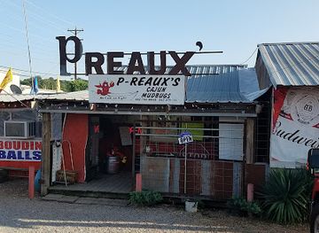
P-Reaux's Cajun Mudbugs
Experience authentic Cajun cuisine at P-Reaux's Cajun Mudbugs in Yazoo City - home of delicious mudbugs and Southern hospitality.
-
Bistro
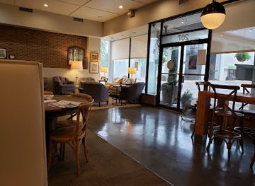
Yazoo Pass
Experience the flavors of Clarksdale at Yazoo Pass Bistro - your go-to spot for breakfast, coffee, and sweet treats in Mississippi.
-
Barbecue
Clancy's
Discover Clancy's Barbecue in Yazoo City: A culinary haven serving delicious smoked meats and Southern hospitality.


Best bars in The Yazoo Basin
Evening life in the Yazoo Basin is generally centred on restaurants, traditional bars, local events and live music rather than a large nightclub circuit. Clarksdale is the best-known focus for blues-oriented nightlife, with performances and informal jam culture varying by venue and season. Cleveland, Indianola, Greenville and Yazoo City provide additional restaurants, bars and community entertainment, while smaller towns tend to close earlier and offer fewer choices. Historic pubs, music rooms and festival stages can be more significant than conventional clubs, but visitors should check current listings rather than assume that a venue or performance operates nightly. Alcohol is not necessary to engage with the region's culture: evening options may also include concerts, university events, local theatre, seasonal festivals and quiet meals. Driving distances and limited late-night transport make it sensible to arrange accommodation and a return journey before going out.
-
Mexican
El Sombrero Mexican Restaurant
Savor the authentic taste of Mexico at El Sombrero Mexican Restaurant in Yazoo City with vibrant dishes and friendly service.
-
Hotel
Best Western Gateway Inn
Experience southern hospitality at Best Western Gateway Inn, your comfortable retreat in Yazoo City, Mississippi.
-
Hotel
Days Inn by Wyndham Yazoo City
Stay comfortably at Days Inn by Wyndham Yazoo City, your gateway to Southern charm and regional exploration.
-
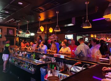
Live music bar
Walnut Street Blues Club
Discover the heartbeat of blues in Greenville, Mississippi, at Walnut Street Blues Club - where live music and Southern charm unite.


Best nightclubs in The Yazoo Basin
Evening life in the Yazoo Basin is generally centred on restaurants, traditional bars, local events and live music rather than a large nightclub circuit. Clarksdale is the best-known focus for blues-oriented nightlife, with performances and informal jam culture varying by venue and season. Cleveland, Indianola, Greenville and Yazoo City provide additional restaurants, bars and community entertainment, while smaller towns tend to close earlier and offer fewer choices. Historic pubs, music rooms and festival stages can be more significant than conventional clubs, but visitors should check current listings rather than assume that a venue or performance operates nightly. Alcohol is not necessary to engage with the region's culture: evening options may also include concerts, university events, local theatre, seasonal festivals and quiet meals. Driving distances and limited late-night transport make it sensible to arrange accommodation and a return journey before going out.
-
Bar
Sipps Bar Gulfport
Experience the vibrant nightlife at Sipps Bar Gulfport, a lively gay bar featuring karaoke and dance, perfect for every visitor seeking fun.
-
Live Music
Neon Moon
Discover the dynamic nightlife at Neon Moon, Ocean Springs' premier destination for live music and unforgettable dance experiences.
-
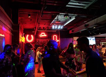
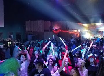
Night club
HIDEAWAY
Experience the vibrant nightlife of Jackson, Mississippi at Hideaway, a premier night club and event venue with electrifying music and dance.
-
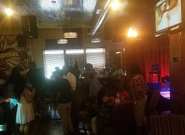
Night club
440 Restaurant, Rendezvous(loungr), Relax (cigar Lounge), Reminisce (Event Center)
Experience the vibrant nightlife of Jackson, Mississippi, at 440 Restaurant and Lounge, where dining, entertainment, and relaxation meet.
Best shops in The Yazoo Basin
Shopping in the Yazoo Basin is concentrated in the main towns rather than in large regional retail districts. Historic downtowns in places such as Greenville, Greenwood, Cleveland, Indianola, Clarksdale and Yazoo City contain a changing mixture of independent shops, galleries, cafés, antique dealers and local services. Blues-related books, recordings, posters, apparel and locally produced art are among the most meaningful souvenirs, particularly in communities with established music museums. Farmers' markets and seasonal produce stands may offer vegetables, fruit, preserves and other Mississippi-made foods, although schedules vary by community and season. Visitors can also look for pottery, paintings, photography, handmade textiles and books documenting African American history, civil rights and Delta culture. Larger supermarkets and general shops are useful for road provisions, while specialist retail is limited outside the principal towns. Buy from legitimate businesses and artists, and do not remove objects, artefacts or materials from archaeological, historic or wildlife sites.
-
Department store
Walmart Supercenter
Discover Walmart Supercenter in Yazoo City for affordable shopping, groceries, and a diverse selection of products in one convenient location.
-
Hotel
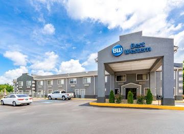
Best Western Gateway Inn
Experience comfort and convenience at Best Western Gateway Inn in Yazoo City, Mississippi, your ideal base for local exploration.
-
Furniture store
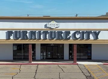
Furniture City
Discover unique furniture and home decor at Furniture City, Yazoo City's premier destination for quality furnishings and stylish designs.
-
Market
Downtown Marketplace
Discover the heart of Yazoo City at Downtown Marketplace, where local vendors, delicious food, and unique finds await every visitor.


Get your free copy of our complete guide to The Yazoo Basin, delivered straight to you.
Everything on this page, from attractions and restaurants to essentials and local phrases, in one PDF you can read offline, print or share.
Already have an account? Sign in
Your The Yazoo Basin guide is ready.
We'll send it to · Not you? Sign out

Getting your guide ready…
We are putting together a fresh copy of the The Yazoo Basin guide. This can take up to a minute.
This can take a few moments. If your browser asks, choose Allow so the download can start. You'll find the guide in your Downloads folder.
Nothing happened? Download it again
Sorry, the guide is taking longer than usual. Please try again in a minute, or get it by email instead.
The Yazoo Basin essentials
Currency and Payment
Safety
Emergency Situations
Do's and Don'ts
Local Tips
From Eve
Local phrases worth knowing
You don't need to get them perfect. A few words go a long way, and locals appreciate the effort.
Basics
| English | Local | Say it |
|---|---|---|
| Hello | Howdy | [haudi] |
| Goodbye | See ya later | [si ya leiter] |
| Yes | Yup | [yup] |
| No | Nah | [nah] |
| Please/You're welcome | Please/No problem | [pliz/no prob-lum] |
| Thank you | Thank ya | [thangk ya] |
| Excuse me/Sorry | Excuse me/Sorry 'bout that | [eks-kyoos me/saw-ree bout that] |
| How are you? | How ya doin'? | [hau ya doin] |
| Fine. And you? | I’m doin’ good. And you? | [aim doin gud. And ya?] |
| Do you speak English? | Can ya speak English? | [kan ya speek Inglish?] |
| I don't understand | I ain't gettin' it | [ai eent gettin it] |
Eating & Drinking
| English | Local | Say it |
|---|---|---|
| I'd like to see the menu, please | Can I see the menu, please? | [kan ai si the men-yoo, pliz?] |
| I don't eat meat | I don’t eat meat | [ai dont eet meet] |
| Cheers! | Cheers! | [cheers] |
| I would like to pay, please | I wanna pay, please | [ai wanna pay, pliz] |
Emergencies
| English | Local | Say it |
|---|---|---|
| Help! | Help! | [help] |
| Go away! | Get on outta here! | [git on outta here] |
| Call the Police! | Call the cops! | [call the kops] |
| Call a doctor! | Get a doctor! | [git a doktor] |
| I'm lost | I’m lost | [aim lost] |
| I'm ill | I’m sick | [aim sik] |
Shopping
| English | Local | Say it |
|---|---|---|
| I'd like to buy... | I wanna buy... | [ai wanna buy] |
| I'm just looking | Just lookin' | [just lookin] |
| How much is it? | How much it cost? | [how much it kost?] |
| That's too expensive | That’s too high | [thats too hai] |
| Can you lower the price? | Can ya bring down the price? | [kan ya bring daun the prais?] |
Time & Numbers
| English | Local | Say it |
|---|---|---|
| What time is it? | What time it be? | [what taim it bi?] |
| It's one o'clock | It’s one o'clock | [its won o'clok] |
| Half past (10) | Half past ten | [haf past ten] |
| Morning | Mornin' | [mornin] |
| Afternoon | Afternoon | [afternun] |
| Evening | Evenin' | [evenin] |
| Yesterday | Yestiddy | [yestiddy] |
| Today | Today | [tuda] |
| Tomorrow | Tomorra | [tomorra] |
| 1 | One | [won] |
| 2 | Two | [too] |
| 3 | Three | [three] |
| 4 | Four | [for] |
| 5 | Five | [fiv] |
| 6 | Six | [siks] |
| 7 | Seven | [sevuhn] |
| 8 | Eight | [ait] |
| 9 | Nine | [nain] |
| 10 | Ten | [ten] |
Transport & Directions
| English | Local | Say it |
|---|---|---|
| Where's a/the...? | Where's the...? | [whears the...?] |
| What's the address? | What’s the address? | [whats the ad-dress?] |
| Can you show me (on the map)? | Can ya show me on the map? | [kan ya sho me on the map?] |
| When's the next (bus)? | When's the next bus? | [wens the nekst bus?] |
| A ticket (to ....) | A ticket to... | [a tik-it to...] |
History of The Yazoo Basin
Indigenous Mound-Building Traditions
The lower Mississippi Valley was home to complex Indigenous societies long before European colonisation. Winterville Mounds, near present-day Greenville, preserves a major ceremonial centre associated with the prehistoric Plaquemine culture, with platform mounds arranged around a central plaza. The site demonstrates that the Delta was not an empty wilderness but a region of organised communities, agriculture, religion and exchange. Later Indigenous peoples, including the Choctaw and Chickasaw, also shaped the wider cultural geography of Mississippi. The mounds and surrounding floodplain remain essential to understanding the region's deep history.
Colonial River and Frontier Era
European exploration and settlement reached the Mississippi Valley through French, Spanish and later American imperial networks. The river served as a route for movement and trade, while the swamps and seasonal flooding made permanent settlement difficult in many parts of the basin. After the United States acquired control of the region, cotton-growing interests increasingly sought to drain, clear and develop the Delta. Indigenous dispossession and the expansion of plantation agriculture transformed land ownership, population patterns and the relationship between local communities and the river.
Cotton Plantations and Enslaved Labour
During the nineteenth century, the fertile alluvial soils of the Delta supported the rapid expansion of cotton cultivation. Wealthy planters developed large estates, while enslaved African Americans performed the overwhelming majority of agricultural labour under brutal conditions. River landings and emerging towns connected the basin to national and international markets. The plantation economy left a lasting imprint on landholding, architecture, cuisine, religion, music and racial inequality. After emancipation, many African Americans remained tied to cotton agriculture through sharecropping and tenant farming, while others built independent churches, businesses and communities.
Civil War and the Vicksburg Campaign
The Mississippi River was strategically vital during the American Civil War. Vicksburg, on the southern edge of the broader Yazoo Basin landscape and situated on the eastern bluffs above the river, controlled an important stretch of the waterway. The Union campaign and siege of Vicksburg in 1863 contributed to the division of the Confederacy and gave the Union control of the Mississippi River. Military operations also affected river transport, plantations and communities across the Delta. Vicksburg's national military significance provides important context for the basin's southern gateway, although the city itself is not a typical lowland Delta settlement.
Levees, Drainage and the Great Flood of 1927
Flood control became one of the defining forces in modern Delta history. The catastrophic Mississippi River flood of 1927 inundated vast areas, displaced communities and exposed the human costs of inadequate protection and unequal relief. Its aftermath accelerated federal involvement in levees, drainage, pumping and river engineering. These works reduced some flood risks but also altered wetlands, constrained natural river processes and helped establish the highly managed agricultural landscape visible today. The flood also contributed to long-term migration from the Delta as African Americans sought greater security and opportunity elsewhere.
The Development of the Blues
Blues culture emerged from the experiences of African American communities in the Mississippi Delta, combining work songs, spirituals, field hollers, church music and other traditions. Places including Dockery Farms, Clarksdale, Indianola and the surrounding rural districts became associated with musicians and musical styles that later travelled to Memphis, Chicago and beyond. The blues was shaped by poverty, labour, migration, faith and social change rather than by a single birthplace or performer. Museums, historic markers and festivals now interpret this history, while local musicians continue to develop the tradition.
Civil Rights, Migration and Contemporary Delta Life
The Delta was central to the struggle for African American voting rights and equal citizenship. Communities faced segregation, disenfranchisement, economic retaliation and violence, while organisers, churches and local activists challenged the established order. The civil rights movement and the continuing search for economic opportunity contributed to major population shifts, particularly the Great Migration to northern and western cities. Today, the basin's history is visible in churches, courthouses, museums, cemeteries, civic buildings and family stories, alongside universities, agriculture, cultural tourism and ongoing efforts to address persistent economic and environmental challenges.
The Yazoo Basin in Photos
Browse through our photo collection highlighting the charm and character of the destination.
Neighbouring regions of The Yazoo Basin
The closest regions to The Yazoo Basin, if you have time for more than one.
-

-

-
 The Red Clay Hills
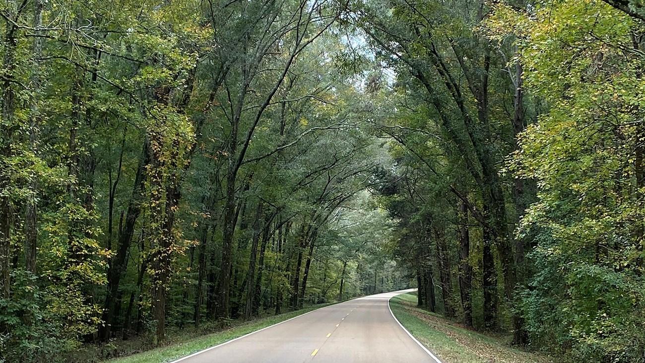
Explore Mississippi’s Red Clay Hills for rolling uplands, Chickasaw heritage, Tupelo history, scenic parkland, cycling trails and Southern food.
-
 The North Central Hills
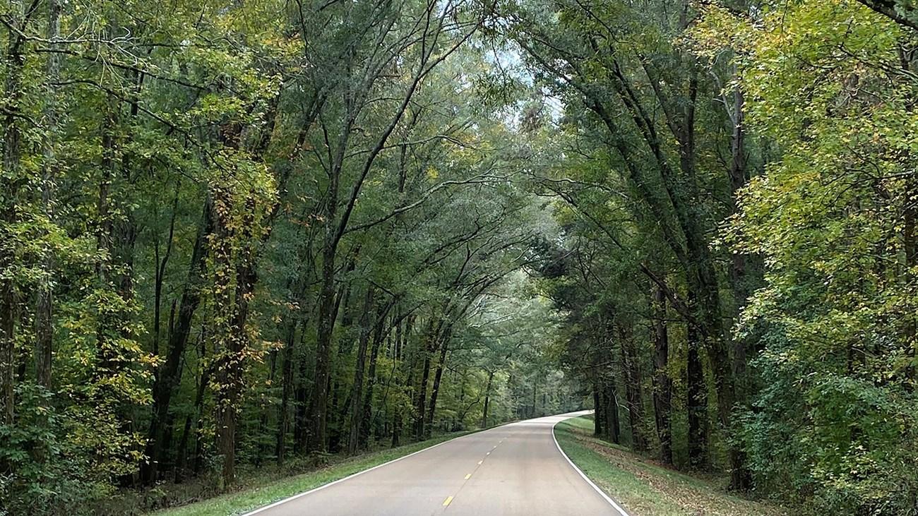
Explore Mississippi’s North Central Hills for Oxford’s literary heritage, rolling woodland, historic towns, local food and the Tanglefoot Trail.
-


Swipe for more regions
Explore more

Explore more of Mississippi
Discover Mississippi: A treasure trove of Southern culture, blues music heritage, and stunning natural landscapes perfect for every kind of traveler.
Explore Mississippi