

Free Souris River Basin Travel Guide & Mobile App
Explore Souris River Basin with free travel guides. Discover regional history, expert tips, proposed trips, and audio guides on web or mobile app.


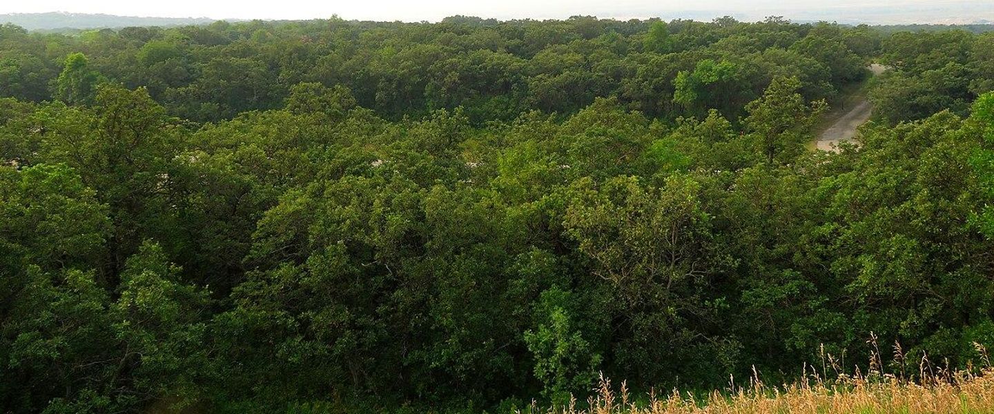


Explore North Dakota's Souris River Basin for prairie wildlife, Lake Darling recreation, Minot heritage and quiet river-valley communities.
Read more about Souris River Basin
Getting to and around Souris River Basin
How to get there
Transportation
Top city travel guides in Souris River Basin
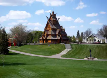
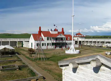
The cities of Souris River Basin, and the easiest places to base yourself.
-
-


Swipe for more cities
Destinations in Souris River Basin
Resorts, valleys and scenic spots worth a trip of their own.
-

-


Swipe for more destinations
Best attractions in Souris River Basin
The Souris River Basin's attractions combine prairie nature, water-based recreation and the cultural institutions of Minot. The Upper Souris National Wildlife Refuge, north of Minot near the river and Lake Darling, protects wetlands, grassland and shallow-water habitat important to migratory and resident birds. Lake Darling itself supports fishing, boating, camping and shoreline recreation, while the Des Lacs National Wildlife Refuge, farther north near the basin's broader wetland landscape, offers additional opportunities for wildlife observation. In Minot, the Railroad Museum of Minot and the Taube Museum of Art provide contrasting ways to understand the region's transport history and contemporary cultural life. The North Dakota State Fairgrounds host major seasonal activity, although event arrangements vary. Smaller towns and rural roads reveal grain elevators, churches, farm settlements and river infrastructure rather than a dense sequence of formal attractions. Outdoor visitors should expect open views, quiet trails and practical recreation facilities, while those interested in history can follow the story of Indigenous presence, railway expansion, agricultural settlement, military development and flood recovery. The best itineraries allow time for weather, wildlife and long prairie distances.
-
Park
Roosevelt Park
Experience the beauty and tranquility of Roosevelt Park in Minot, North Dakota, where nature and recreation come together for an unforgettable day.
-
State park
Lewis and Clark State Park
Explore the natural beauty and outdoor adventures at Lewis and Clark State Park, a serene retreat in North Dakota for nature enthusiasts.
-
Tourist attraction
Cut Bluff Overlook
Explore the breathtaking vistas and historical significance of Cut Bluff Overlook, a must-see natural wonder in Williston, North Dakota.
-
Tourist attraction
Buffalo Trails Museum
Experience the rich history of Epping, North Dakota at the Buffalo Trails Museum, where stories of the past come to life through engaging exhibits.


Best landmarks in Souris River Basin
The Souris River itself is the basin's central natural landmark, its winding channel and low floodplain providing the geographical thread linking northern wetlands with Minot and the communities farther south-east. Lake Darling Dam is a major engineered landmark, representing the region's long effort to manage flooding while creating a reservoir used for recreation and wildlife habitat. In Minot, the historic Soo Line Passenger Depot recalls the railway expansion that helped create the city, while the city's transport heritage is also represented by the Railroad Museum of Minot. The Ward County Courthouse and surviving historic buildings in Minot's older districts reflect the civic confidence of a railway and agricultural centre. Outside the city, grain elevators, rural churches and farmstead patterns form a less monumental but highly characteristic landscape of settlement. The Upper Souris National Wildlife Refuge is an important ecological landmark, where open prairie, wetlands and reservoir waters demonstrate the basin's environmental significance. Together these places show how natural systems, railway commerce, public works and urban development have shaped north-central North Dakota.
-
Zoo
Roosevelt Park Zoo
Roosevelt Park Zoo in Minot blends wildlife wonder and natural beauty, making it a top tourist attraction for families and animal lovers in North Dakota.
-
Park
Roosevelt Park
Experience the natural beauty and recreational charm of Roosevelt Park, a serene escape in Minot, North Dakota, perfect for outdoor enthusiasts and families.
-
Locksmith
Bakken Locksmith
Experience unmatched locksmith services in Bakken, ensuring your safety and security with every visit.
-
Historical landmark
Cut Bluff Overlook
Explore Cut Bluff Overlook in Williston, ND: a stunning historical landmark with breathtaking views of the Missouri River and rich cultural heritage.


Explore Souris River Basin on the map
Plan your trip on one map. See where the top cities, national parks and sights are, and book hotels and experiences in a few clicks.
Best hotels in Souris River Basin
Best restaurants in Souris River Basin
Dining in the basin is centred on Minot, where visitors will find American grills, cafés, family restaurants, bakeries, international food and hotel dining alongside the straightforward meals traditionally associated with the northern plains. Rural communities and reservoir areas tend to offer fewer choices, with seasonal concessions and locally oriented cafés more common than destination restaurants. Regional food is connected to North Dakota's farming and ranching economy: wheat, beef, pork, potatoes and dairy appear frequently, while Scandinavian and German-Russian influences can be encountered in the wider state's baking and home-cooking traditions. Look for hearty breakfasts, burgers, soups, sandwiches and baked goods, with farmers' markets and seasonal stands providing opportunities to buy local produce when operating. Minot's dining scene is more varied than that of the surrounding countryside, but opening patterns can change, particularly outside the city. Visitors should plan provisions before heading to wildlife refuges or Lake Darling, where food outlets are limited and distances between communities are substantial.
-
Steak
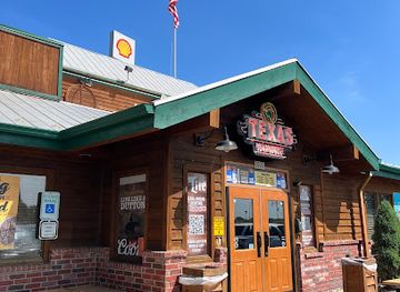
Texas Roadhouse
Discover Texas Roadhouse in Bismarck: where hand-cut steaks meet warm hospitality in a lively American atmosphere.
-
Steak
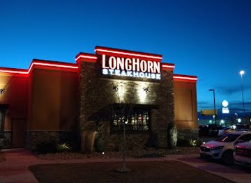
LongHorn Steakhouse
Discover delicious steaks and traditional American fare at LongHorn Steakhouse in Minot – perfect for families and food lovers alike.
-
Seafood
Lund's Landing Restaurant
Experience fresh seafood delights at Lund's Landing Restaurant in Ray, ND - where coastal flavors meet Midwestern hospitality.
-
Bar
Smokin Gun
Discover the vibrant atmosphere at Smokin Gun in Souris, ND - your go-to bar for craft cocktails and local camaraderie.


Best bars in Souris River Basin
Evening life in the Souris River Basin is concentrated in Minot rather than spread evenly across the countryside. The city has traditional American bars, sports bars, breweries, restaurants with evening service and venues that occasionally host live music or other performances. The historic downtown area and the central commercial districts provide the broadest choice, although individual venues and schedules change. In smaller communities such as Burlington, Velva and Sherwood, nightlife is more likely to centre on local bars, community events and informal social gatherings than on dedicated clubs. Lake Darling and refuge areas are primarily daytime and outdoor destinations, with quiet evenings in campgrounds rather than a late-night entertainment scene. Alcohol service follows North Dakota law, and visitors should carry identification and arrange a safe journey when drinking. Seasonal festivals, fair events and touring performances can add occasional activity, but they should be checked locally rather than assumed to operate on a fixed schedule.
-
Grill
Littles Bar & Grill
Experience the taste of North Dakota at Littles Bar & Grill, where delicious grilled fare meets a cozy atmosphere in Pick City.
-
Seafood
Lund's Landing Restaurant
Experience the best seafood in Ray, ND, at Lund's Landing Restaurant, where freshness meets friendly service.
-
Grill
Punky's
Discover Punky's in Dazey, ND, where comfort food meets a cozy atmosphere, perfect for tourists seeking local flavors.
-
Bar
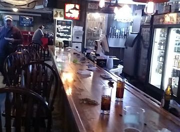
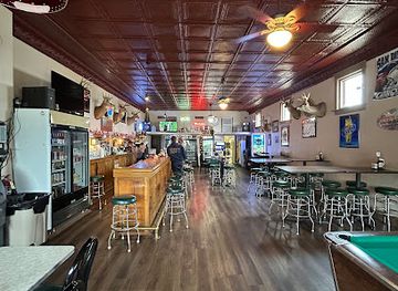
Northside Tavern
Discover the vibrant atmosphere and local flavors at Northside Tavern, the heart of Ray, North Dakota's nightlife.


Best nightclubs in Souris River Basin
-
Lake
Lake Sakakawea
Experience the serene beauty of Lake Sakakawea in North Dakota, a perfect destination for fishing, boating, and relaxation amidst stunning landscapes.
-
Lounge
Lucky Strike Lounge
Experience vibrant nightlife at Lucky Strike Lounge in Minot, ND, featuring cocktails, delicious bites, and lively entertainment.
-
Bar
Dakota Lounge
Discover Dakota Lounge in Minot, ND - a vibrant bar offering lively karaoke nights and an extensive drink menu for an unforgettable night out.
-
Bar
Capri Tiki Bar
Discover the vibrant Capri Tiki Bar in Minot, ND, where tropical cocktails and a lively atmosphere create an unforgettable nightlife experience.


Best shops in Souris River Basin
Minot is the basin's main shopping centre, with a conventional regional retail offer, independent shops, galleries, bookshops, outdoor suppliers and food retailers serving both residents and visitors. The downtown area provides the strongest concentration of locally oriented businesses, while larger commercial areas offer everyday goods and practical equipment for road trips or outdoor recreation. In smaller communities, shopping is limited but may include general stores, cafés, farm-related services and occasional antique or craft outlets. Seasonal farmers' markets and community events are useful places to look for North Dakota produce, baked goods, preserves, handmade items and locally produced gifts, although dates and locations vary. Visitors heading to Lake Darling or the wildlife refuges should buy specialist provisions, fuel and outdoor supplies in Minot or another larger town before departure. Regional souvenirs are more likely to reflect prairie, railway, agricultural and Indigenous cultural themes than a single signature craft, and any cultural products should be purchased respectfully and with attention to authentic provenance.
-
 River
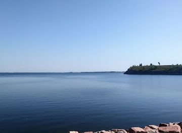
Souris River
Explore the serene beauty of Souris River, a hidden gem in North Dakota, offering nature, adventure, and rich history for all travelers.
-
Gift shop
Back Shed Treasures
Explore Back Shed Treasures in Tioga, ND – a charming gift shop filled with unique, handcrafted items that embody local culture.

Get your free copy of our complete guide to Souris River Basin, delivered straight to you.
Everything on this page, from attractions and restaurants to essentials and local phrases, in one PDF you can read offline, print or share.
Already have an account? Sign in
Your Souris River Basin guide is ready.
We'll send it to · Not you? Sign out

Getting your guide ready…
We are putting together a fresh copy of the Souris River Basin guide. This can take up to a minute.
This can take a few moments. If your browser asks, choose Allow so the download can start. You'll find the guide in your Downloads folder.
Nothing happened? Download it again
Sorry, the guide is taking longer than usual. Please try again in a minute, or get it by email instead.
Souris River Basin essentials
Currency and Payment
Safety
Emergency Situations
Do's and Don'ts
Local Tips
From Eve
Local phrases worth knowing
You don't need to get them perfect. A few words go a long way, and locals appreciate the effort.
Basics
| English | Local | Say it |
|---|---|---|
| Hello | Howdy | [haʊdi] |
| Goodbye | See ya later | [si jə ˈleɪtər] |
| Yes | Yep | [jɛp] |
| No | Nah | [nɑ] |
| Please/You're welcome | Please | [pliz] |
| Thank you | Thanks | [θæŋks] |
| Excuse me/Sorry | Sorry | [ˈsɔri] |
| How are you? | How's it going? | [haʊz ɪt ˈgoʊɪŋ] |
| Fine. And you? | Good. You? | [ɡʊd. ju?] |
| Do you speak English? | Do you speak English? | [du jə spiːk ˈɪŋɡlɪʃ?] |
| I don't understand | I don't get it | [aɪ doʊnt ɡɛt ɪt] |
Eating & Drinking
| English | Local | Say it |
|---|---|---|
| I'd like to see the menu, please | Can I see the menu, please? | [kæn aɪ si ðə ˈmɛnjuː pliz?] |
| I don't eat meat | I don't eat meat | [aɪ doʊnt iːt miːt] |
| Cheers! | Cheers! | [ʧɪrz] |
| I would like to pay, please | Can I pay, please? | [kæn aɪ peɪ pliz?] |
Emergencies
| English | Local | Say it |
|---|---|---|
| Help! | Help! | [hɛlp!] |
| Go away! | Leave me alone! | [liv mi əˈloʊn!] |
| Call the Police! | Call the cops! | [kɔl ðə kɑps!] |
| Call a doctor! | Get a doctor! | [ɡɛt ə ˈdɑktər!] |
| I'm lost | I'm lost | [aɪm lɔst] |
| I'm ill | I'm not feeling well | [aɪm nɑt ˈfiːlɪŋ wɛl] |
Shopping
| English | Local | Say it |
|---|---|---|
| I'd like to buy... | I'd like to buy... | [aɪd laɪk tə baɪ...] |
| I'm just looking | Just browsing | [dʒʌst ˈbraʊzɪŋ] |
| How much is it? | What’s the price? | [wʌts ðə praɪs?] |
| That's too expensive | That's too pricey | [ðæts tuː ˈpraɪsi] |
| Can you lower the price? | Can you bring down the price? | [kæn ju brɪŋ daʊn ðə praɪs?] |
Time & Numbers
| English | Local | Say it |
|---|---|---|
| What time is it? | What time is it? | [wʌt taɪm ɪz ɪt?] |
| It's one o'clock | It's one o'clock | [ɪts wʌn əˈklɑk] |
| Half past (10) | Half past ten | [hæf pæst tɛn] |
| Morning | Morning | [ˈmɔrnɪŋ] |
| Afternoon | Afternoon | [ˌæftərˈnun] |
| Evening | Evening | [ˈivnɪŋ] |
| Yesterday | Yesterday | [ˈjɛstərdeɪ] |
| Today | Today | [təˈdeɪ] |
| Tomorrow | Tomorrow | [təˈmɔroʊ] |
| 1 | One | [wʌn] |
| 2 | Two | [tu] |
| 3 | Three | [θri] |
| 4 | Four | [fɔr] |
| 5 | Five | [faɪv] |
| 6 | Six | [sɪks] |
| 7 | Seven | [ˈsɛvən] |
| 8 | Eight | [eɪt] |
| 9 | Nine | [naɪn] |
| 10 | Ten | [tɛn] |
Transport & Directions
| English | Local | Say it |
|---|---|---|
| Where's a/the...? | Where's the...? | [wɛrz ðə...?] |
| What's the address? | What’s the address? | [wʌts ði əˈdrɛs?] |
| Can you show me (on the map)? | Can you show me on the map? | [kæn ju ʃoʊ mi ɒn ðə mæp?] |
| When's the next (bus)? | When's the next bus? | [wɛnʔs ðə nɛkst bʌs?] |
| A ticket (to ....) | A ticket to ... | [ə ˈtɪkɪt tə ...] |
History of Souris River Basin
Indigenous homelands and prairie travel
The Souris River Basin forms part of the northern Great Plains, a landscape used by Indigenous peoples for hunting, travel and seasonal settlement long before written records. Cree, Métis, Dakota and other Indigenous communities have longstanding connections with the wider Souris and Assiniboine watersheds. The river supplied water and supported wetland habitats within a much larger prairie system. Understanding this deeper history places later farming, railway construction and town building in context rather than treating the basin as an empty frontier.
The fur trade and the Mouse River corridor
The Souris is known as the Mouse River in Canada, an English rendering of a name associated with its small size and winding course. During the fur-trade era, waterways and prairie trails linked communities and trading networks across what is now the United States-Canada border. The basin was not an isolated valley: it belonged to a broad northern plains world in which Indigenous knowledge, Métis mobility and commercial exchange shaped movement and settlement.
Railways and the founding of Minot
The Great Northern Railway reached the Souris valley in the late nineteenth century, helping transform a sparsely settled prairie corridor into a network of farms, depots and commercial towns. Minot expanded rapidly after the railway's arrival in 1886 and became known as the Magic City because of the speed of its growth. Rail transport connected local grain and livestock producers with larger markets and made Minot the basin's principal centre for trade, services and administration.
Agricultural settlement and river communities
Homesteading and agricultural development reshaped the basin during the late nineteenth and early twentieth centuries. Towns including Burlington and Velva grew within a landscape of wheat fields, ranches, farmsteads and railway links, while smaller settlements served local school, church and trading communities. The river offered water and fertile lowlands but also imposed limits through flooding and seasonal variability. Many of the region's roads, shelterbelts, grain facilities and town layouts still reflect this agricultural history.
Flood control and Lake Darling
Flooding has long been a defining issue along the Souris. Major twentieth-century floods encouraged investment in dams, reservoirs, levees and other forms of water management. Lake Darling, created by a dam on the Souris River, became both a flood-control facility and a recreational landscape, supporting fishing, boating, camping and wildlife habitat. The reservoir illustrates the region's practical relationship with water: the river is an ecological resource, a recreation asset and a continuing management responsibility.
The Minot Air Force Base era
The establishment of Minot Air Force Base in 1957 brought a major military presence to the wider basin and added a new dimension to the area's modern economy and identity. Strategic Air Command and later United States Air Force missions made the installation part of the country's nuclear and long-range defence history. Although the base lies outside Minot itself, its proximity has influenced housing, employment, civic life and regional infrastructure for generations.
The 2011 Souris River flood
In 2011, exceptional precipitation across the watershed produced a severe flood that affected Minot, Burlington and other communities along the Souris River. Homes, businesses, roads and public infrastructure suffered extensive damage, and many residents were displaced. The disaster prompted large-scale recovery and strengthened flood-protection works, while also renewing discussion about reservoir operations, development in flood-prone areas and the need to balance public safety with the river's natural dynamics.
Souris River Basin in Photos
Browse through our photo collection highlighting the charm and character of the destination.
Neighbouring regions of Souris River Basin
The closest regions to Souris River Basin, if you have time for more than one.
-

-

-

-
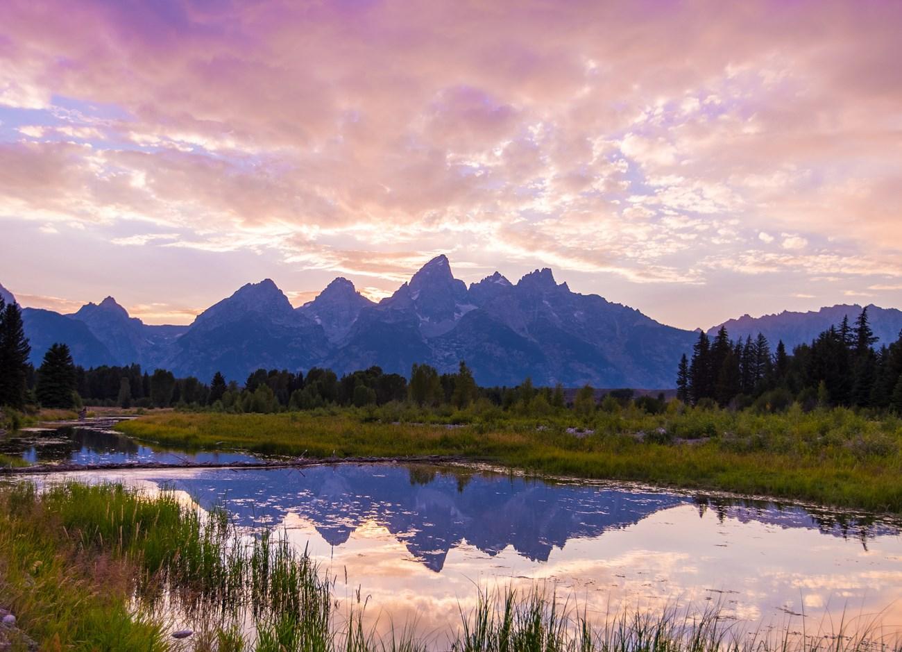 Missouri Coteau
Explore North Dakota’s Missouri Coteau for glacial wetlands, prairie wildlife, wide horizons, Indigenous history and quiet rural road trips.
-
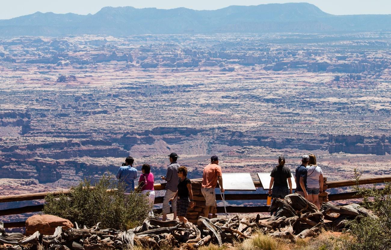 Devils Lake Basin
 combines walleye fishing, prairie wildlife, Indigenous history and open-water recreation in north-eastern North Dakota.


Swipe for more regions
Explore more
Explore more of North Dakota
Discover the rugged beauty, rich history, and warm hospitality of North Dakota, the untamed frontier of the United States.
Explore North Dakota