

Free Missouri Coteau Travel Guide & Mobile App
Explore Missouri Coteau with free travel guides. Discover regional history, expert tips, proposed trips, and audio guides on web or mobile app.


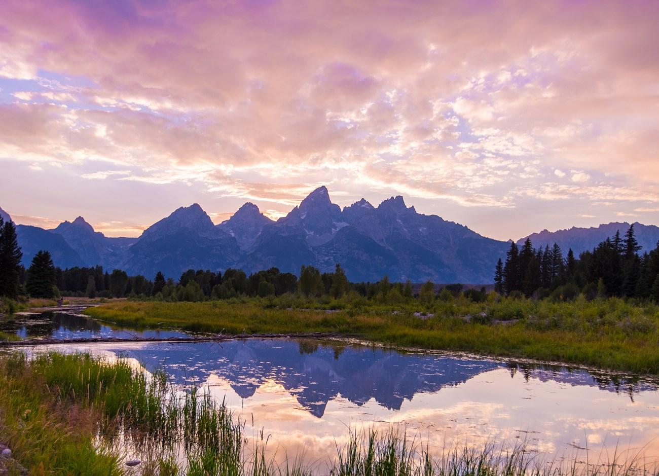


Explore North Dakota’s Missouri Coteau for glacial wetlands, prairie wildlife, wide horizons, Indigenous history and quiet rural road trips.
Read more about Missouri Coteau
Getting to and around Missouri Coteau
How to get there
Transportation
Top city travel guides in Missouri Coteau
The cities of Missouri Coteau, and the easiest places to base yourself.
-

-

-
-

-
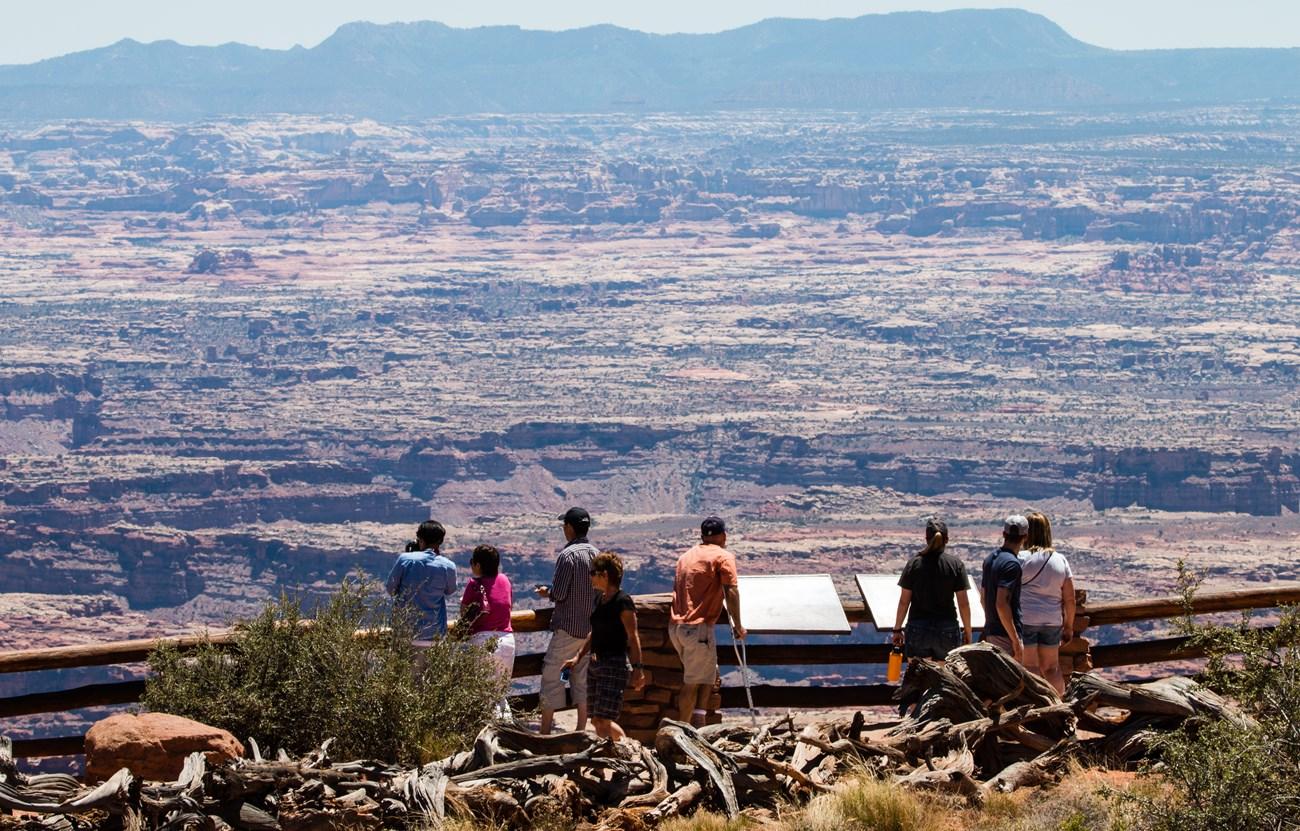 Devils Lake
, North Dakota, combines walleye fishing, prairie scenery, Dakota heritage, Fort Totten history and relaxed small-town sightseeing.
-
 Mandan
, North Dakota, pairs Missouri River history with Fort Abraham Lincoln, Native heritage, railroad stories, rodeo tradition and wide-open prairie landscapes.


Swipe for more cities
Destinations in Missouri Coteau
Resorts, valleys and scenic spots worth a trip of their own.
-

-
-

-

-

-


Swipe for more destinations
Best attractions in Missouri Coteau
The Missouri Coteau’s attractions are primarily landscape-based. Lostwood National Wildlife Refuge protects rolling native prairie and numerous wetlands in the north-west, creating an important setting for birdwatching, wildlife photography and quiet observation. Des Lacs National Wildlife Refuge, near Kenmare, follows a chain of lakes and marshes that attracts migratory waterfowl and offers accessible views of the wetland system. Upper Souris National Wildlife Refuge, near Minot and the Canadian border, combines reservoir scenery, grassland and river habitat. Across the wider upland, country roads reveal glacial swales, farmsteads, cattle country and broad skies. Small museums and community heritage displays provide local context, while the Fort Berthold area, outside parts of the core Coteau, offers important Indigenous cultural connections. Outdoor activities are generally low-impact: wildlife watching, photography, fishing where regulations permit, hiking on designated routes and scenic driving. This is not a region of concentrated attractions; its interest lies in understanding a large prairie ecosystem and the communities that continue to work within it.
-
Monument
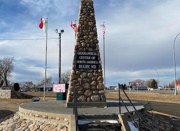
Geographical Center of North America
Explore the Geographical Center of North America in Rugby, ND – a unique monument uniting the heart of the continent with stunning rural landscapes.
-
Tourist attraction
Rusty the Turtle
Experience the whimsical charm of Rusty the Turtle, a beloved North Dakota attraction perfect for family photos and local culture.

Best landmarks in Missouri Coteau
The Missouri Coteau’s most characteristic landmarks are geological and ecological rather than monumental. Its rolling glacial ridges and thousands of prairie potholes create a distinctive skyline and a constantly changing pattern of water, grassland and cultivated fields. Lostwood National Wildlife Refuge is a particularly representative landscape, with broad native prairie and wetland basins demonstrating why the Coteau is important to migratory birds. Des Lacs National Wildlife Refuge is marked by its linked lakes and marshes near Kenmare, while Upper Souris National Wildlife Refuge gives the northern landscape a contrasting reservoir and river setting. The open plateau should be read alongside the Missouri River country, where Fort Berthold and the communities of the Three Affiliated Tribes provide essential cultural and historical context, although parts of that area lie beyond the Coteau’s central uplands. Grain elevators, rural churches, farmsteads and small-town main streets are modest but meaningful signs of settlement history. Together, these features express a region formed by ice, water, Indigenous stewardship, agriculture and modern infrastructure.
-
Historical landmark
Missouri-Yellowstone Confluence Interpretive Center
Discover the Historical Richness of the Missouri-Yellowstone Confluence at this Engaging Interpretive Center in North Dakota.
-
Historical landmark
Menoken Village State Historic Site
Explore the ancient legacy of the Mandan people at Menoken Village State Historic Site, an enriching historical landmark in North Dakota.
-
Historical landmark
Fort Mandan Overlook State Historic Site
Explore the historic Fort Mandan Overlook, a scenic landmark that celebrates the Lewis and Clark Expedition and the rich heritage of North Dakota.
-
Historical landmark
Fort Rice State Historic Site
Discover the historic Fort Rice State Historic Site, a key military outpost from the 1860s, nestled along the beautiful Missouri River in North Dakota.


Explore Missouri Coteau on the map
Plan your trip on one map. See where the top cities, national parks and sights are, and book hotels and experiences in a few clicks.
Best hotels in Missouri Coteau
Best restaurants in Missouri Coteau
-
Steak
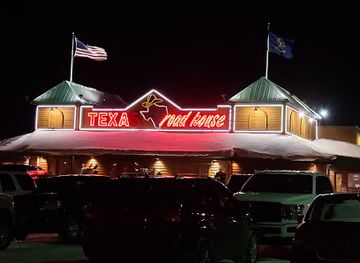
Texas Roadhouse
Experience mouth-watering steaks and vibrant ambiance at Texas Roadhouse in Grand Forks – a true taste of America!
-
American
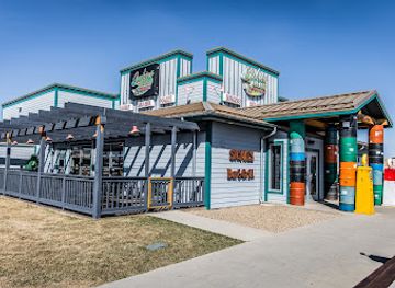
Sickies Garage Burgers & Brews
Discover gourmet burgers and craft brews at Sickies Garage Burgers & Brews in Bismarck – where flavor meets fun!
-
American
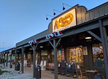
Cracker Barrel Old Country Store
Discover authentic Southern cuisine at Cracker Barrel Old Country Store in Bismarck - where comfort food meets warm hospitality.
-
Steak
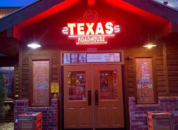
Texas Roadhouse
Experience the best steak dining at Texas Roadhouse in Bismarck - where flavor meets fun in every bite!
Best bars in Missouri Coteau
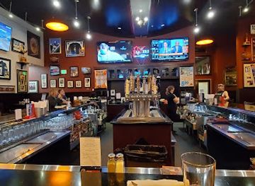
Evening life in the Missouri Coteau is quiet and community-oriented. Small-town bars, taverns and hotel lounges provide the principal nightlife, often alongside informal meals, televised sport and conversation. Minot, outside the core rural upland but its main service centre, offers the widest choice of pubs, breweries, live music and later-opening venues. In smaller communities, evening options may be limited and distances make driving after drinking particularly unwise, so arrange accommodation locally or use a designated driver. There is no continuous nightclub district across the Coteau, and many visitors spend evenings watching sunsets, photographing the night sky or preparing for an early wildlife outing. Seasonal fairs, community events and occasional live performances can add variety, but dates and venues change and should be checked locally. Alcohol service and licensing follow North Dakota law rather than a separate regional tradition.
-
Grill
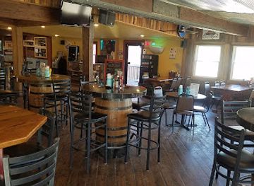
Boots Bar & Grill
Experience the best of Medora with delicious grilled meals and refreshing drinks at Boots Bar & Grill, your go-to spot for local flavors.
-
Irish pub
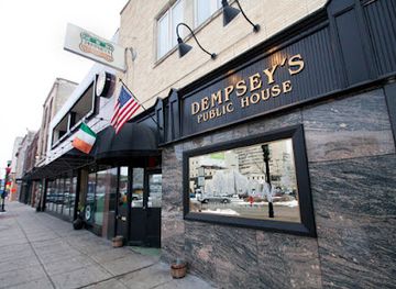
Dempsey's Public House
Experience the lively spirit of Ireland at Dempsey's Public House in Fargo, where delicious food, drinks, and live entertainment await.
-
Grill
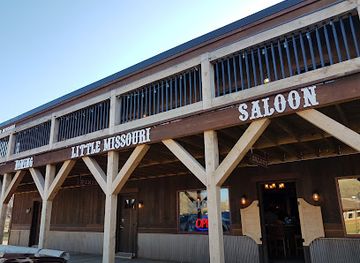
Little Missouri Saloon & Dining Room
Immerse yourself in the rustic charm and hearty flavors of the Little Missouri Saloon & Dining Room in Medora, North Dakota.
-
Bar
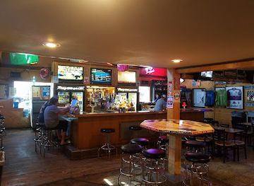
Proz Sports Bar Grille & Caboose
Discover fun and flavor at Proz Sports Bar Grille & Caboose, the ultimate destination for sports lovers and foodies in Devils Lake, North Dakota.
Best nightclubs in Missouri Coteau
-
Grill
Players Sports Bar & Grill
Discover the vibrant Players Sports Bar & Grill in Dickinson, ND, where delicious food meets an exhilarating sports atmosphere.
-
Lake
Lake Sakakawea
Experience the serene beauty of Lake Sakakawea in North Dakota, a perfect destination for fishing, boating, and relaxation amidst stunning landscapes.
-
Restaurant
Applebee's Grill + Bar
Delight in classic American cuisine at Applebee's Grill + Bar, the perfect family-friendly dining experience in Devils Lake.
-
Grill
Bridges Bar & Grill
Discover Bridges Bar & Grill in Valley City—where American cuisine meets a welcoming atmosphere for an unforgettable dining experience.


Best shops in Missouri Coteau
Shopping in the Missouri Coteau is practical and locally focused rather than centred on major retail districts. Minot, outside the core rural upland, is the principal regional shopping centre, with the broadest selection of supermarkets, outdoor supplies, clothing and general services. Smaller communities such as Kenmare and Stanley provide essentials, fuel and limited independent retail, but visitors should not expect extensive opening hours or specialist shopping. Farmers’ markets and seasonal community events may offer baked goods, preserves, vegetables, crafts and locally produced items, although schedules vary through the year. Useful regional purchases include prairie-themed artwork, books on North Dakota history and wildlife, locally made food products, outdoor equipment and gifts connected with the landscape. Indigenous art and craftwork should be bought through reputable tribal, cultural or artist-led channels, where provenance and cultural context are clear. Because distances are substantial, shopping for picnic supplies, water and basic outdoor necessities before visiting a refuge is often more useful than searching for them afterwards.
-
Gift shop
Prairie Creek Pride of Dakota Store
Explore North Dakota's vibrant culture at the Prairie Creek Pride of Dakota Store, your go-to destination for unique gifts and local treasures.
-
Toy store
BrickBus
Explore BrickBus, a magical toy store offering a vast selection of toys and collectibles for all ages, igniting creativity and joy in every visitor.


Get your free copy of our complete guide to Missouri Coteau, delivered straight to you.
Everything on this page, from attractions and restaurants to essentials and local phrases, in one PDF you can read offline, print or share.
Already have an account? Sign in
Your Missouri Coteau guide is ready.
We'll send it to · Not you? Sign out

Getting your guide ready…
We are putting together a fresh copy of the Missouri Coteau guide. This can take up to a minute.
This can take a few moments. If your browser asks, choose Allow so the download can start. You'll find the guide in your Downloads folder.
Nothing happened? Download it again
Sorry, the guide is taking longer than usual. Please try again in a minute, or get it by email instead.
Missouri Coteau essentials
Currency and Payment
Safety
Emergency Situations
Do's and Don'ts
Local Tips
From Eve
Local phrases worth knowing
You don't need to get them perfect. A few words go a long way, and locals appreciate the effort.
Basics
| English | Local | Say it |
|---|---|---|
| Hello | Howdy | [haʊdi] |
| Goodbye | See ya later | [si jə ˈleɪtər] |
| Yes | Yup | [jʌp] |
| No | Nope | [noʊp] |
| Please/You're welcome | Please | [pliz] |
| Thank you | Thanks | [θæŋks] |
| Excuse me/Sorry | Excuse me | [ɪkˈskjuːz mi] |
| How are you? | How ya doin'? | [haʊ jə ˈduɪn] |
| Fine. And you? | Good, and you? | [ɡʊd, ənd jʊ] |
| Do you speak English? | Do ya speak English? | [du jə spiːk ˈɪŋɡlɪʃ] |
| I don't understand | I don't get it | [aɪ doʊnt ɡɛt ɪt] |
Eating & Drinking
| English | Local | Say it |
|---|---|---|
| I'd like to see the menu, please | Can I see the menu, please? | [kæn aɪ si ðə ˈmɛnjuː pliz] |
| I don't eat meat | I ain't eatin' meat | [aɪ eɪnt ˈiːtɪn mit] |
| Cheers! | Cheers! | [ʧɪrz] |
| I would like to pay, please | I'd like to pay, please | [aɪd laɪk tə peɪ pliz] |
Emergencies
| English | Local | Say it |
|---|---|---|
| Help! | Help! | [hɛlp] |
| Go away! | Get outta here! | [ɡɛt ˈaʊtə hɪr] |
| Call the Police! | Call the cops! | [kɔl ðə kɑps] |
| Call a doctor! | Call a doc! | [kɔl ə dɑk] |
| I'm lost | I'm lost | [aɪm lɔst] |
| I'm ill | I'm feelin' sick | [aɪm ˈfiːlɪn sɪk] |
Shopping
| English | Local | Say it |
|---|---|---|
| I'd like to buy... | I wanna buy... | [aɪ ˈwɑnə baɪ] |
| I'm just looking | Just lookin' | [dʒʌst ˈlʊkɪn] |
| How much is it? | How much is it? | [haʊ mʌʧ ɪt] |
| That's too expensive | That's too pricey | [ðæts tuː ˈpraɪsi] |
| Can you lower the price? | Can ya lower the price? | [kæn jə ˈloʊər ðə praɪs] |
Time & Numbers
| English | Local | Say it |
|---|---|---|
| What time is it? | What time is it? | [wʌt taɪm ɪt] |
| It's one o'clock | It's one o'clock | [ɪts wʌn əˈklɑk] |
| Half past (10) | Half past ten | [hæf pæst tɛn] |
| Morning | Mornin' | [ˈmɔrnɪn] |
| Afternoon | Afternoon | [ˌæf.tɚˈnun] |
| Evening | Evenin' | [ˈivnɪn] |
| Yesterday | Yesterday | [ˈjɛstərdeɪ] |
| Today | Today | [təˈdeɪ] |
| Tomorrow | Tomorrow | [təˈmɔroʊ] |
| 1 | One | [wʌn] |
| 2 | Two | [tu] |
| 3 | Three | [θri] |
| 4 | Four | [fɔr] |
| 5 | Five | [faɪv] |
| 6 | Six | [sɪks] |
| 7 | Seven | [ˈsɛvən] |
| 8 | Eight | [eɪt] |
| 9 | Nine | [naɪn] |
| 10 | Ten | [tɛn] |
Transport & Directions
| English | Local | Say it |
|---|---|---|
| Where's a/the...? | Where's the...? | [wɛrz ðə] |
| What's the address? | What's the address? | [wʌts ði əˈdrɛs] |
| Can you show me (on the map)? | Can ya show me on the map? | [kæn jə ʃoʊ mi ɑn ðə mæp] |
| When's the next (bus)? | When's the next bus? | [wɛn ðə nɛkst bʌs] |
| A ticket (to ....) | A ticket to... | [ə ˈtɪkɪt tə] |
History of Missouri Coteau
Glacial Formation and Prairie Wetlands
The Missouri Coteau was shaped during the last Ice Age, when glacial ice left a hummocky belt of ridges, depressions and poorly drained basins across central and north-western North Dakota. As the ice retreated, thousands of prairie potholes formed, creating breeding habitat for ducks, geese and other wetland species. The resulting landscape differs from the flatter Drift Prairie to the east and from the deeply cut Missouri River country farther west. Its geology remains one of the region’s defining historical forces because it influences farming, grazing, settlement patterns and modern conservation.
Indigenous Homelands and Missouri River Cultures
The Coteau and its surrounding plains are part of the traditional homelands and travelling territories of Indigenous peoples, including the Mandan, Hidatsa and Arikara, whose communities were concentrated along the Missouri River and maintained extensive regional relationships. Assiniboine, Cree, Dakota and Lakota peoples also moved through and used the wider northern plains. Hunting, trade, seasonal movement and knowledge of water and grass shaped life across the plateau. Today the Three Affiliated Tribes—Mandan, Hidatsa and Arikara—remain centred at Fort Berthold, a reservation connected to the Coteau’s southern and western historical landscape.
Trade, Exploration and the Fur Economy
During the late eighteenth and nineteenth centuries, expanding trade networks linked the northern plains to the Missouri River and to routes leading towards present-day Canada. Fur traders, military expeditions and geological surveyors travelled through a landscape already known and managed by Indigenous communities. The river corridor was the principal route for sustained outside contact, while the Coteau supplied game, grazing and passage between water sources. Trading posts and later steamboat activity were concentrated mainly along the Missouri rather than on the open upland itself, but they changed the political and economic pressures surrounding the region.
Treaties, Dispossession and Reservation History
Nineteenth-century treaties, military pressure and federal policy removed Indigenous peoples from much of their land and confined communities to reservations. The creation and later reduction of the Fort Berthold Reservation profoundly affected the Mandan, Hidatsa and Arikara, while the wider region was transformed by the reservation system and the loss of hunting territories. The construction of Garrison Dam in the twentieth century flooded important Missouri River communities and displaced residents on the reservation. These events remain essential to understanding the Coteau’s modern geography and the continuing cultural importance of the Missouri River basin.
Railways, Homesteading and Agricultural Settlement
From the late nineteenth century, federal land policies and railway expansion encouraged Euro-American settlement across North Dakota. Towns such as Minot and Kenmare developed as service and transport centres, while farms and ranches spread across the Coteau wherever soil, rainfall and water allowed. Wheat and other grains became important commercial crops, though the region’s variable terrain also supported cattle and mixed farming. Railways connected isolated settlements to wider markets, but many smaller communities later declined as farms consolidated and passenger services diminished.
Conservation and the Energy Era
Recognition of the Coteau’s wetland and grassland value led to the establishment and expansion of wildlife refuges, including Des Lacs, Lostwood and Upper Souris. These protected areas preserve part of a much larger prairie ecosystem affected by cultivation, drainage and grazing. From the late twentieth century, western and north-western North Dakota also experienced major oil and gas development associated with the Bakken formation. Energy investment brought roads, employment and population pressures to nearby communities, while conservation agencies and landowners continued to negotiate the protection of wetlands, grasslands and migratory birds.
Missouri Coteau in Photos
Browse through our photo collection highlighting the charm and character of the destination.
Neighbouring regions of Missouri Coteau
The closest regions to Missouri Coteau, if you have time for more than one.
-

-

-

-
 Devils Lake Basin
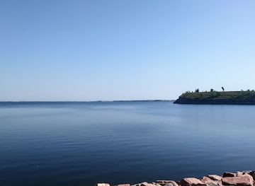
 combines walleye fishing, prairie wildlife, Indigenous history and open-water recreation in north-eastern North Dakota.
-


Swipe for more regions
Explore more
Explore more of North Dakota
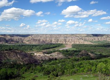
Discover the rugged beauty, rich history, and warm hospitality of North Dakota, the untamed frontier of the United States.
Explore North Dakota