

Free Crook County Travel Guide & Mobile App
Explore Crook County with free travel guides. Discover regional history, expert tips, proposed trips, and audio guides on web or mobile app.


Explore Crook County, Oregon, for Prineville heritage, Ochoco forests, high-desert scenery, reservoir recreation and wide-open Central Oregon landscapes.
Read more about Crook County
Getting to and around Crook County
How to get there
Transportation
Top city travel guides in Crook County
The cities of Crook County, and the easiest places to base yourself.

Swipe for more cities
Destinations in Crook County
Resorts, valleys and scenic spots worth a trip of their own.
-

-


Swipe for more destinations
Best attractions in Crook County
Crook County’s attractions are primarily landscape-based, with Prineville providing the most accessible concentration of history, services and cultural interpretation. The Crooked River and Prineville Reservoir support fishing, boating, swimming in appropriate areas, camping and wildlife observation, while the reservoir’s broad shoreline provides a strong introduction to Central Oregon’s dry interior. Ochoco National Forest extends into higher country of pine woodland, meadows, lakes and forest roads suited to hiking, riding, hunting and winter recreation when conditions allow. Geological features such as Steins Pillar and Gray Butte give the county visual drama without the heavy development found at some better-known Oregon sites. Prineville’s heritage buildings, local museums and civic history add context to ranching, timber and transport. Birdwatching, stargazing, photography and dispersed camping are important parts of the experience, but many sites require careful preparation, permission checks and seasonal road awareness. The appeal lies in the transition between town, working landscape, open range, reservoir and mountain forest rather than in a single purpose-built attraction.
-
State park
Smith Rock State Park
Explore the stunning trails and breathtaking rock formations of Smith Rock State Park, a top destination for outdoor enthusiasts and nature lovers in Oregon.
-
Museum
High Desert Museum
Discover the rich history and natural beauty of the high desert at the High Desert Museum in Bend, Oregon – a perfect blend of art, culture, and nature.
-
Park
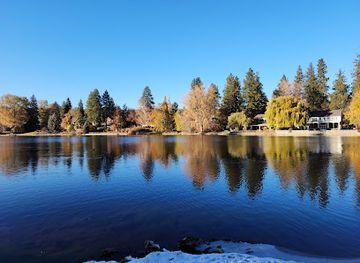
Drake Park
Explore the natural beauty of Drake Park in Bend, Oregon, a serene park perfect for picnics, bird watching, and enjoying the great outdoors.
-
Visitor center
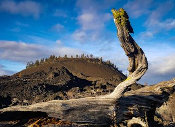
Lava Lands Visitor Center
Explore the stunning volcanic landscapes and rich geological history at Lava Lands Visitor Center in Bend, Oregon, a must-visit for outdoor enthusiasts.


Best landmarks in Crook County
Prineville’s historic civic and commercial streets are the county’s clearest built landmarks, expressing its development as a ranching, trading and administrative centre. The Crooked River is a defining natural feature, cutting through dry uplands and linking the town’s history with the county’s water landscape. Bowman Dam, which created Prineville Reservoir, is an important twentieth-century engineering landmark as well as the gateway to one of the county’s best-known recreation areas. In the uplands, Steins Pillar is a prominent isolated rock formation in the Ochoco country and a memorable symbol of the region’s volcanic geology. Gray Butte, rising above the high desert, provides wide views across Central Oregon and demonstrates the contrast between open sagebrush terrain and forested mountains. The Ochoco Mountains themselves form the county’s strongest geographical landmark, with ponderosa pine, ridgelines and seasonal snow defining the eastern horizon. Together, these places explain Crook County more effectively than a collection of isolated monuments: its identity is built from river, reservoir, rock, forest, ranch land and a small historic county seat.
-
Historical landmark
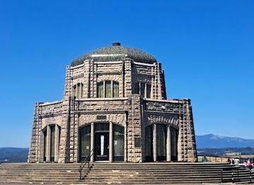
Vista House at Crown Point
Experience breathtaking views and rich history at Vista House, a stunning landmark overlooking the Columbia River Gorge in Oregon.
-
State park
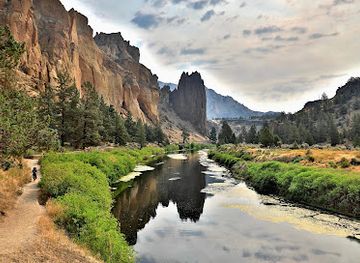
Smith Rock State Park
Discover the breathtaking landscapes and thrilling adventures at Smith Rock State Park, a must-visit destination for nature lovers and outdoor enthusiasts in Oregon.
-
Shopping mall
Old Mill District
Discover the Old Mill District in Bend, Oregon: a vibrant shopping and entertainment haven with stunning river views and local culture.
-
National forest
Deschutes National Forest
Discover the breathtaking beauty of Deschutes National Forest in Oregon, a paradise for outdoor enthusiasts with hiking, fishing, and stunning natural landscapes.


Explore Crook County on the map
Plan your trip on one map. See where the top cities, national parks and sights are, and book hotels and experiences in a few clicks.
Best hotels in Crook County
Best restaurants in Crook County
Dining in Crook County is centred on Prineville, where cafés, family restaurants, bakeries, takeaways and traditional American dining rooms serve residents, travellers and workers from the surrounding ranch country. Menus commonly reflect the wider food culture of inland Oregon, including beef, burgers, sandwiches, soups, seasonal produce and baked goods, while local agricultural connections are most apparent in the importance of ranching and regional farm supply rather than in a narrowly defined county cuisine. Rural taverns and informal eateries provide practical meals along driving routes, and picnic provisions are useful for reservoir or forest excursions. Farmers' markets and small producers may offer fruit, vegetables, preserves, honey and other regional goods when in season. Central Oregon craft beer is widely available in the broader region, though Crook County’s dining identity remains more community-oriented than destination-gastronomic. Visitors should expect shorter hours and fewer choices outside Prineville and should not rely on finding a full meal near remote recreation areas.
-
Mexican
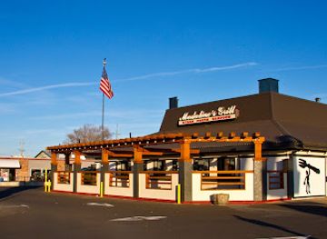
Madaline's Grill & Steak House
Discover authentic Mexican flavors fused with American classics at Madaline's Grill & Steak House in Redmond, Oregon.
-
Grill
Pump House Bar & Grill
Discover the best flavors of Oregon at Pump House Bar & Grill - where great food meets stunning views.
-
Mexican
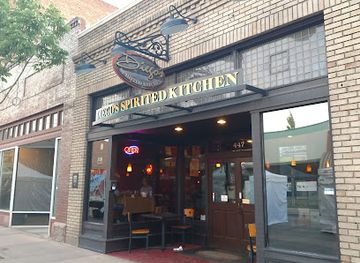
Diego's Spirited Kitchen
Savor authentic Mexican cuisine at Diego's Spirited Kitchen in Redmond, Oregon - where flavor meets festive ambiance.
-
Steak
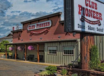
Club Pioneer
Discover the taste of Oregon at Club Pioneer – where steak meets seafood in a cozy setting perfect for any occasion.

Best bars in Crook County
Evening life in Crook County is modest and locally focused. Prineville’s traditional pubs, taverns, restaurants and casual bars are the main places for a drink, conversation or televised sport, with occasional live music and community entertainment rather than a concentrated nightclub circuit. The town’s working-ranch and small-city character is reflected in relaxed venues where food and socialising are as important as late-night drinking. Outside Prineville, evening options are sparse, and visitors staying near Prineville Reservoir or in the Ochoco country should plan ahead, bring suitable provisions and respect quiet hours at campsites. Some regional breweries and taprooms are accessible on wider Central Oregon itineraries, but they should not be assumed to lie within Crook County. Night skies, campfires where permitted and early starts for outdoor activities are often more characteristic of the county than late-closing clubs.
-
Grill
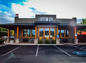
Dillon's Grill
Experience the best of American cuisine at Dillon's Grill in Prineville, Oregon, featuring delicious barbecue and hearty grilled dishes.
-
Bar
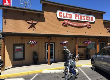
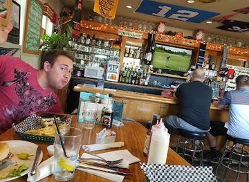
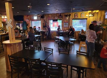
Club Pioneer
Explore Club Pioneer in Prineville, Oregon—a vibrant bar and restaurant known for its delicious steaks and fresh seafood in a lively atmosphere.
-
Brewpub
Cascade Lakes Pub at 7th St
Discover Cascade Lakes Pub at 7th St, where craft beer meets family-friendly dining in the heart of Redmond, Oregon.
-
Barbecue
Crossroads BBQ Pit & Pub
Experience the best of barbecue at Crossroads BBQ Pit & Pub in Prineville, where every meal is a celebration of flavor and good company.
Best nightclubs in Crook County
-
Bar
Velvet Lounge
Experience the eclectic vibe of Velvet Lounge in Bend, where art, live music, and gourmet cuisine converge for an unforgettable night out.
-
Bar
M & J Tavern
Discover M & J Tavern in Bend, Oregon—a lively bar and grill offering delicious food, craft drinks, and a vibrant atmosphere for an unforgettable night out.
-
Mountain peak
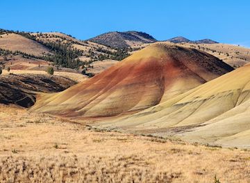
Painted Hills
Explore the Painted Hills of Oregon, a stunning geological wonder featuring vibrant colors and rich history, perfect for nature lovers and adventurers alike.
-
Cocktail bar
The Capitol
Discover Bend's premier cocktail bar and dance club, The Capitol, where great drinks and vibrant nightlife come together for an unforgettable experience.



Best shops in Crook County
Prineville is the county’s principal shopping centre, with practical high-street services, outdoor and farm-related suppliers, independent businesses, cafés and shops serving both residents and visitors. Shopping is more functional than fashion-led, but travellers can look for Western and outdoor clothing, books, local artwork, handmade items and souvenirs connected with Central Oregon’s ranching and high-desert identity. Seasonal farmers' markets and direct-from-producer sales may offer fruit, vegetables, honey, preserves and other regional foods, while local galleries and craft displays provide a more distinctive alternative to standard mementoes. Outside Prineville, retail is limited and widely dispersed, so purchase fuel, groceries, camping supplies and specialist outdoor equipment before travelling into forest or reservoir country. Visitors should also remember that some rural sellers operate seasonally or accept limited payment methods; carrying cash and checking local arrangements is sensible.
-
Gift shop
Post General Store
Explore Post General Store in Oregon, your one-stop destination for unique gifts, local treats, and a taste of community spirit.

Get your free copy of our complete guide to Crook County, delivered straight to you.
Everything on this page, from attractions and restaurants to essentials and local phrases, in one PDF you can read offline, print or share.
Already have an account? Sign in
Your Crook County guide is ready.
We'll send it to · Not you? Sign out

Getting your guide ready…
We are putting together a fresh copy of the Crook County guide. This can take up to a minute.
This can take a few moments. If your browser asks, choose Allow so the download can start. You'll find the guide in your Downloads folder.
Nothing happened? Download it again
Sorry, the guide is taking longer than usual. Please try again in a minute, or get it by email instead.
Crook County essentials
Currency and Payment
Safety
Emergency Situations
Do's and Don'ts
Local Tips
From Eve
Local phrases worth knowing
You don't need to get them perfect. A few words go a long way, and locals appreciate the effort.
Basics
| English | Local | Say it |
|---|---|---|
| Hello | Howdy | [haʊdi] |
| Goodbye | See ya later | [si jə ˈleɪtər] |
| Yes | Yep | [jɛp] |
| No | Nope | [noʊp] |
| Please/You're welcome | Sure thing | [ʃʊr θɪŋ] |
| Thank you | Thanks a lot | [θæŋks ə lɑt] |
| Excuse me/Sorry | Pardon me | [ˈpɑrdən mi] |
| How are you? | How ya doin'? | [haʊ jə ˈduɪn] |
| Fine. And you? | Good. And you? | [gʊd. ənd jʊ] |
| Do you speak English? | Do ya speak English? | [du jə spiːk ˈɪŋɡlɪʃ] |
| I don't understand | I don't get it | [aɪ doʊnt ɡɛt ɪt] |
Eating & Drinking
| English | Local | Say it |
|---|---|---|
| I'd like to see the menu, please | Can I see the menu, please? | [kæn aɪ si ðə ˈmɛnjuː pliz] |
| I don't eat meat | I'm vegetarian | [aɪm ˌvɛdʒəˈtɛriən] |
| Cheers! | Cheers! | [ʧɪrz] |
| I would like to pay, please | Can I get the check, please? | [kæn aɪ ɡɛt ðə ʧɛk pliz] |
Emergencies
| English | Local | Say it |
|---|---|---|
| Help! | Help! | [hɛlp] |
| Go away! | Get lost! | [ɡɛt lɔst] |
| Call the Police! | Call the cops! | [kɔl ðə kɑps] |
| Call a doctor! | Get a doctor! | [ɡɛt ə ˈdɒktər] |
| I'm lost | I'm turned around | [aɪm tɜrnd əˈraʊnd] |
| I'm ill | I'm not feeling well | [aɪm nɑt ˈfiːlɪŋ wɛl] |
Shopping
| English | Local | Say it |
|---|---|---|
| I'd like to buy... | I want to buy... | [aɪ wɑnt tu baɪ] |
| I'm just looking | Just browsing | [dʒʌst ˈbraʊzɪŋ] |
| How much is it? | What's the price? | [wʌts ðə praɪs] |
| That's too expensive | That's a bit pricey | [ðæts ə bɪt ˈpraɪsi] |
| Can you lower the price? | Can ya bring down the price? | [kæn jə brɪŋ daʊn ðə praɪs] |
Time & Numbers
| English | Local | Say it |
|---|---|---|
| What time is it? | What time is it? | [wʌt taɪm ɪz ɪt] |
| It's one o'clock | It's one | [ɪts wʌn] |
| Half past (10) | Half past ten | [hæf pæst tɛn] |
| Morning | Morning | [ˈmɔrnɪŋ] |
| Afternoon | Afternoon | [ˌæftərˈnun] |
| Evening | Evening | [ˈivnɪŋ] |
| Yesterday | Yesterday | [ˈjɛstərdeɪ] |
| Today | Today | [təˈdeɪ] |
| Tomorrow | Tomorrow | [təˈmɔroʊ] |
| 1 | One | [wʌn] |
| 2 | Two | [tu] |
| 3 | Three | [θri] |
| 4 | Four | [fɔr] |
| 5 | Five | [faɪv] |
| 6 | Six | [sɪks] |
| 7 | Seven | [ˈsɛvən] |
| 8 | Eight | [eɪt] |
| 9 | Nine | [naɪn] |
| 10 | Ten | [tɛn] |
Transport & Directions
| English | Local | Say it |
|---|---|---|
| Where's a/the...? | Where's the...? | [wɛrz ðə] |
| What's the address? | What's the address? | [wʌts ði əˈdrɛs] |
| Can you show me (on the map)? | Can you point it out? | [kæn jə pɔɪnt ɪt aʊt] |
| When's the next (bus)? | When's the next bus? | [wɛn ðə nɛkst bʌs] |
| A ticket (to ....) | A ticket to ... | [ə ˈtɪkɪt tu] |
History of Crook County
Indigenous Homelands and River Corridors
Long before American settlement, the region was used by Indigenous peoples including Northern Paiute communities and other peoples connected with the broader High Desert and Columbia Plateau cultural world. The Crooked River, seasonal springs, high-desert grasslands and mountain forests supplied routes, water, plants and game. The Confederated Tribes of Warm Springs remain an important Indigenous presence in Central Oregon. Visitors should understand that the county’s landscapes are not empty wilderness but places shaped by enduring Indigenous relationships, followed by profound disruption during the nineteenth-century expansion of the United States.
Nineteenth-Century Exploration and Settlement
European-American exploration and settlement increased during the nineteenth century as wagon routes, livestock operations and resource prospecting spread through Central Oregon. The region’s rivers and valleys offered water and travel corridors, while open grazing country encouraged ranching. These changes occurred amid conflict, displacement and the wider federal policies that restricted Indigenous movement and access to traditional lands. Early settlement was dispersed, with trading points and ranches gradually forming the foundations of the communities that later became associated with Crook County.
The Creation of Crook County in 1882
Crook County was created in 1882 from a large area of Central Oregon and was named for Major General George Crook, a US Army officer. Prineville emerged as the county seat and became the principal administrative and commercial centre. The county was initially much larger than it is today; later boundary changes created or enlarged neighbouring counties, leaving the present jurisdiction focused on the Crooked River basin, Prineville and the Ochoco uplands. Courthouses, ranching businesses and civic institutions helped establish Prineville’s continuing regional role.
Ranching, Mining and Timber
During the late nineteenth and early twentieth centuries, cattle ranching became a defining economic activity across the county’s grasslands and valleys. Gold and other mineral prospects also attracted attention, although mining never displaced ranching as the region’s most enduring foundation. Timber from the Ochoco Mountains supported mills, employment and transport networks, linking forest resources with Prineville and other Central Oregon markets. These industries shaped land use, family histories and community institutions, while irrigation and water management increasingly influenced agriculture in the drier lowlands.
Rail Connections and the Prineville Railway
Improved transport altered Crook County’s relationship with the rest of Oregon. A railway connection reached Prineville in the early twentieth century, supporting the movement of livestock, timber, agricultural goods and manufactured supplies. The line later developed into the City of Prineville Railway, a municipally owned freight railway that remains an unusual and important part of the town’s economic infrastructure. Rail access strengthened Prineville’s role as a distribution and industrial centre even though the county has never had regular passenger rail service.
Public Lands, Water Projects and Recreation
Federal forest administration and water development brought major changes during the twentieth century. The Ochoco National Forest formalised management of extensive mountain timberlands, while Bowman Dam created Prineville Reservoir on the Crooked River. The reservoir provided water storage and became a focus for camping, fishing, boating and other recreation. Public-land management has since had to balance timber, grazing, wildlife, water, recreation and wildfire concerns, making the relationship between working landscapes and conservation central to the county’s modern story.
A Rural Economy in Transition
In the late twentieth and early twenty-first centuries, Crook County remained rooted in ranching, forestry and public-land employment while developing new economic sectors. Prineville attracted large technology facilities because of available land, power infrastructure and its location in Central Oregon, bringing international companies into a community historically associated with livestock and timber. Outdoor recreation and heritage tourism have also grown in importance. The result is not a replacement of the older economy but an evolving mixture of rural industries, public lands, technology and regional services.
Crook County in Photos
Browse through our photo collection highlighting the charm and character of the destination.
Neighbouring regions of Crook County
The closest regions to Crook County, if you have time for more than one.
-

-
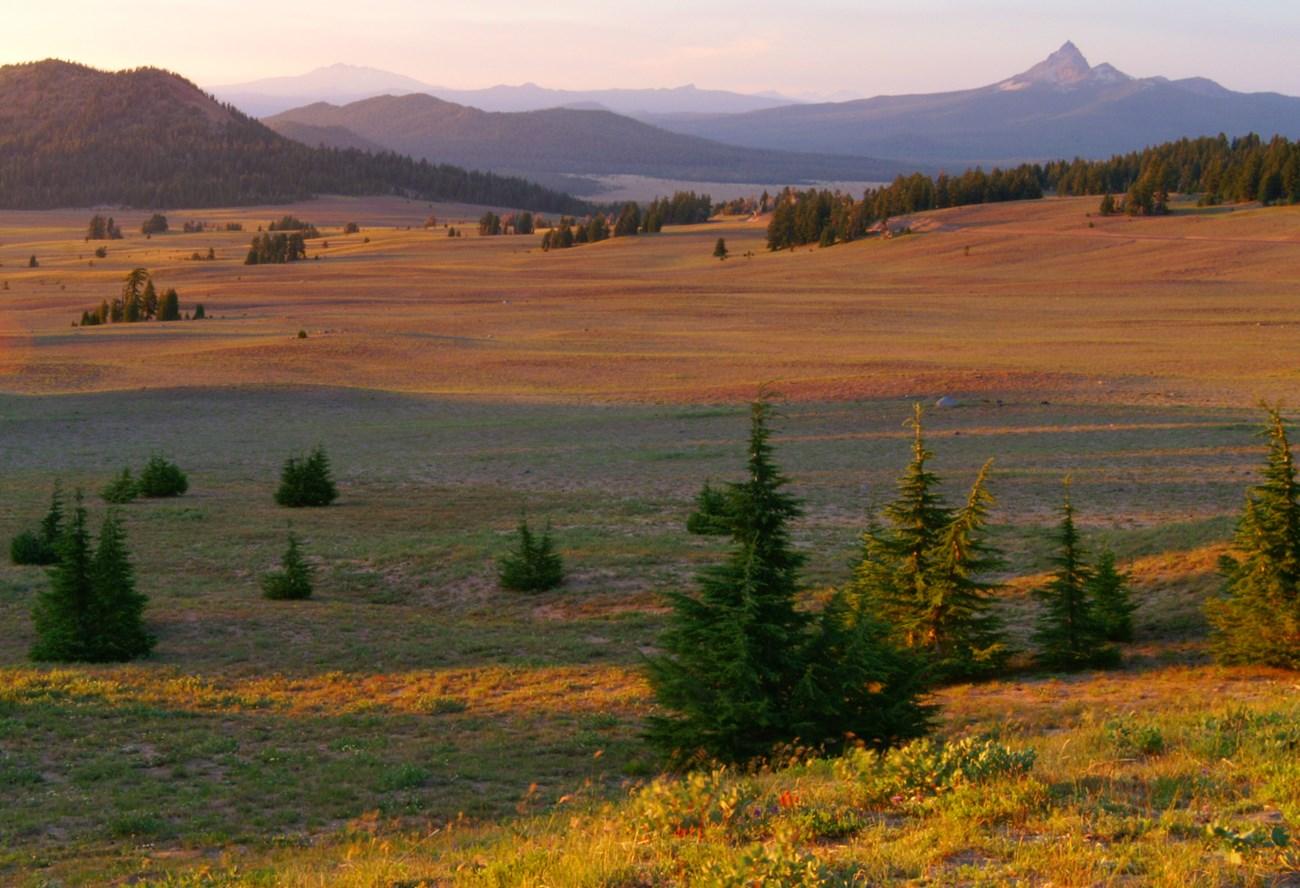 Central Oregon
 combines Bend, volcanic landscapes, high-desert towns, mountain recreation, clear rivers and Indigenous and ranching heritage.
-

-

-


Swipe for more regions
Explore more

Explore more of Oregon
Discover Oregon's diverse landscapes, vibrant cities, and rich culture. From stunning coastlines to lush forests, this Pacific Northwest gem offers endless adventures.
Explore Oregon