Explore the Scenic Trails of Hood River Penstock Flume Pipeline
Uncover the natural beauty and historical charm of Hood River Penstock Flume Pipeline Trailhead, a premier hiking destination in Oregon's Columbia River Gorge.
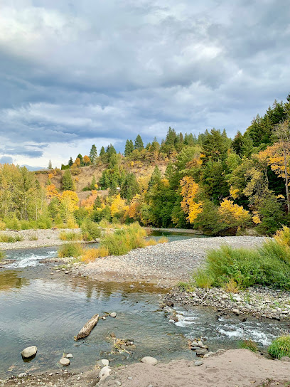
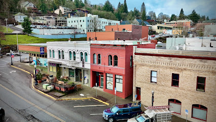
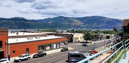
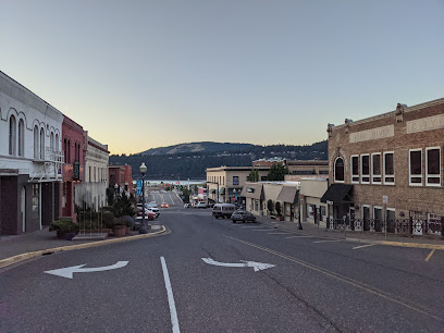
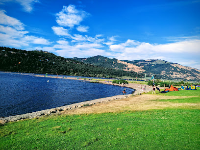
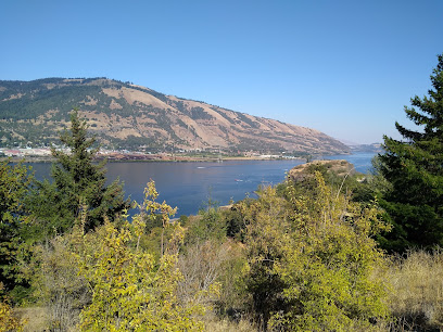
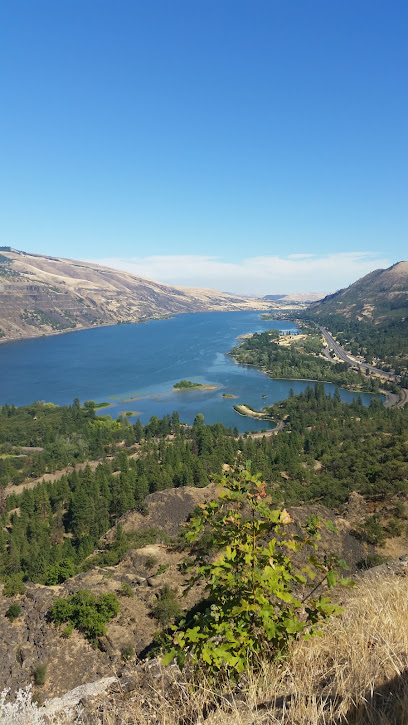
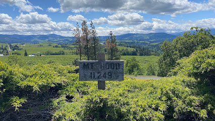
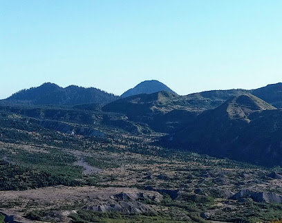
Discover the breathtaking Hood River Penstock Flume Pipeline Trailhead, a hidden gem for hiking enthusiasts and nature lovers. This scenic trail offers stunning views of the Columbia River Gorge, showcasing lush forests, vibrant wildflowers, and fascinating remnants of historical infrastructure. Perfect for all levels of hikers, this area invites you to immerse yourself in the beauty of Oregon’s outdoors.
A brief summary to Hood River Penstock Flume Pipeline Trailhead
- Hood River Penstock Flume Pipeline Trail, Hood River, Oregon, 97031, US
Local tips
- Visit during early morning or late afternoon for the best lighting and fewer crowds.
- Wear sturdy hiking shoes, as some areas may be rocky or uneven.
- Pack plenty of water and snacks to keep your energy levels up during your hike.
- Keep an eye out for wildlife, especially birds, along the trail.
- Bring a camera to capture the stunning views and unique historical structures along the way.
Getting There
-
Walking
If you are starting from downtown Hood River, head east on Oak Street toward 1st Street. Turn left onto 1st Street and continue walking until you reach State Route 35 (also known as 13th Street). Turn right onto State Route 35 and follow it as it becomes a busy road. After about 0.5 miles, look for the sidewalk on the left side of the road. Continue along this route for approximately 1 mile, where you'll start to see signs for the Hood River Penstock Flume Pipeline Trailhead. Once you reach the trailhead, you'll find a parking area and trail access.
-
Biking
From downtown Hood River, head east on Oak Street towards 1st Street. Turn left onto 1st Street and then right onto State Route 35 (13th Street). There is a bike lane on this road, making it safe to ride. Continue on State Route 35 for about 1.5 miles until you see the signs for the Hood River Penstock Flume Pipeline Trailhead. There is a designated bike rack at the trailhead where you can secure your bike before starting your hike.
-
Public Transportation
To reach the Hood River Penstock Flume Pipeline Trailhead via public transportation, take the Columbia Area Transit (CAT) bus from downtown Hood River. Board the bus that heads towards the Westside area. Request a stop at the intersection near the trailhead, which is approximately 1.5 miles from downtown. From the bus stop, you can walk along State Route 35 for a short distance until you reach the trailhead.
Discover more about Hood River Penstock Flume Pipeline Trailhead
Iconic landmarks you can’t miss
Hood River Penstock Flume Pipeline Trailhead
0.0 km
Uncover the natural beauty and historical charm of Hood River Penstock Flume Pipeline Trailhead, a premier hiking destination in Oregon's Columbia River Gorge.
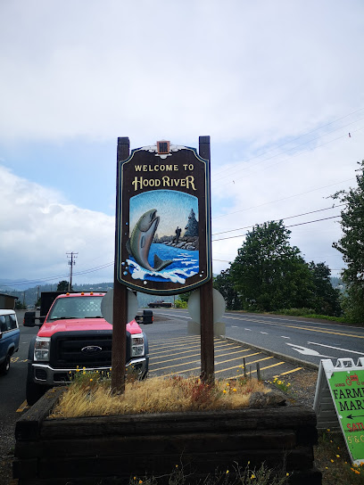
Welcome to Hood River sign
0.5 km
Explore Hood River, Oregon: A charming town with stunning landscapes and outdoor adventures awaits at the iconic Hood River sign.
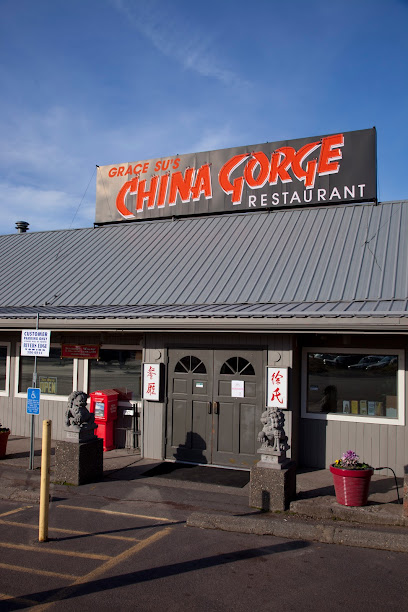
Grace Su's China Gorge Restaurant
0.5 km
Discover the authentic tastes of China with breathtaking views at Grace Su's China Gorge Restaurant in Hood River, Oregon.
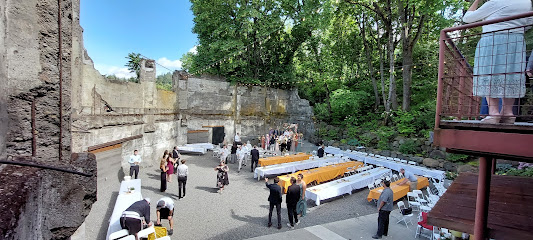
The Ruins
0.6 km
Discover The Ruins in Hood River, a dreamy wedding venue surrounded by stunning gardens and scenic views, perfect for romantic getaways and memorable events.
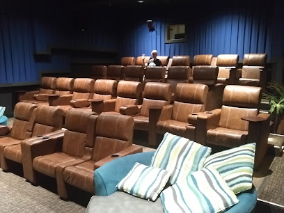
Skylight Theatre & Pub
0.7 km
Experience the perfect blend of films and delicious cuisine at Skylight Theatre & Pub in Hood River, Oregon—a must-visit destination for movie lovers!
Broder Øst
0.7 km
Discover Broder Øst in Hood River, where delightful breakfasts and brunches await in a cozy and inviting café atmosphere.
Votum Restaurant
0.7 km
Experience the finest seafood and exquisite dining in Hood River at Votum Restaurant, where every meal is a culinary journey.
Trillium Café
0.8 km
Experience the inviting ambiance and delicious offerings at Trillium Café, a must-visit spot in Hood River, Oregon, perfect for tourists seeking local flavors.
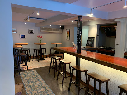
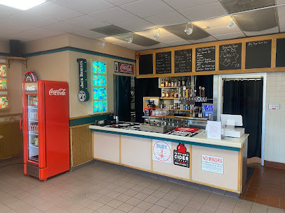
64oz. Taphouse
0.8 km
Discover the best craft beers at 64oz. Taphouse in Hood River, Oregon - a cozy bar showcasing local brews and vibrant community events.
Mugen Noodle
0.8 km
Savor the essence of authentic ramen at Mugen Noodle in Hood River, where each bowl is a culinary masterpiece waiting to be explored.
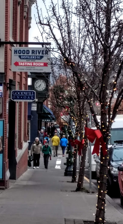
Hood River Distillers Tasting Room
0.8 km
Experience the heart of Oregon's craft distilling at Hood River Distillers Tasting Room, where unique flavors and local heritage come together.
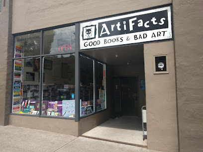
Artifacts - Good Books & Bad Art
0.8 km
Discover the charm of Artifacts in Hood River, Oregon, where great books and quirky art meet in a warm and inviting atmosphere.
Visit Hood River
0.8 km
Explore Hood River, Oregon: A Scenic Retreat for Adventurers and Wine Lovers Alike, Nestled in the Columbia River Gorge.
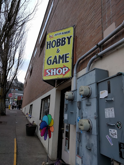
Hood River Hobbies, LLC
0.9 km
Discover a world of creativity at Hood River Hobbies, your go-to destination for art supplies, models, and games in the scenic Hood River.
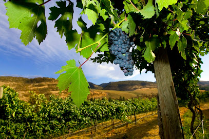
The Pines 1852
0.9 km
Discover the charm of The Pines 1852, a historic winery in Hood River offering exquisite wines, live music, and breathtaking vineyard views.
Unmissable attractions to see
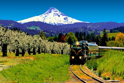
Mount Hood Railroad
0.8 km
Explore the breathtaking landscapes of Oregon aboard the historic Mount Hood Railroad, a unique experience filled with scenic views and rich heritage.
Riddle Route: Starting Location
0.8 km
Explore the Riddle Route in Hood River, Oregon - a thrilling blend of scenic beauty and captivating puzzles in the heart of the Columbia River Gorge.
The History Museum of Hood River County
0.8 km
Discover the captivating history of Hood River County at its local museum, where the past comes alive through engaging exhibits and artifacts.
Fruit Loops Art Center
0.9 km
Discover the vibrant arts scene at the Fruit Loops Art Center in Hood River, Oregon, where creativity and community come together in a colorful setting.
Port Marina Park
1.1 km
Experience the serenity and scenic beauty of Port Marina Park, a perfect getaway along the Columbia River in Hood River, Oregon.
Port of Hood River
1.1 km
Discover the Port of Hood River, where stunning landscapes meet thrilling outdoor activities in Oregon's Columbia River Gorge.
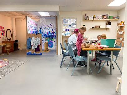
Children's Park
1.1 km
Discover the joy of play and community at Children's Park, a perfect family retreat in Hood River, Oregon.
Hood River Event Site
1.4 km
Discover the scenic Hood River Event Site, a hub for adventure and relaxation in Oregon's breathtaking Columbia River Gorge.
Historic Columbia River Highway State Trail | Mark O. Hatfield West Trailhead
1.5 km
Discover the breathtaking beauty and rich history of the Historic Columbia River Highway State Trail – an outdoor paradise in Oregon.
Historic Columbia River Highway State Trail
1.5 km
Experience the breathtaking views and rich history along the Historic Columbia River Highway State Trail, a must-visit hiking destination in Oregon.
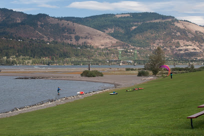
Hood River Waterfront Park
1.6 km
Discover Hood River Waterfront Park: a scenic city park perfect for picnics, recreation, and breathtaking river views in Oregon.
Panorama Point
1.9 km
Experience breathtaking views and outdoor adventures at Panorama Point, a must-visit destination in Oregon's stunning Columbia River Gorge.
Panorama Point County Park
1.9 km
Discover the stunning beauty of Panorama Point County Park in Hood River, Oregon, where breathtaking views and outdoor adventures await.
The Hook
2.0 km
Discover the scenic beauty and recreational delights at The Hook, Hood River's premier park for nature lovers and adventure seekers.
Hood River SUP and Kayak
2.1 km
Experience the thrill of paddling at Hood River SUP and Kayak, your go-to destination for kayaking and paddleboarding in Oregon's stunning Columbia River Gorge.
Essential places to dine
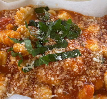
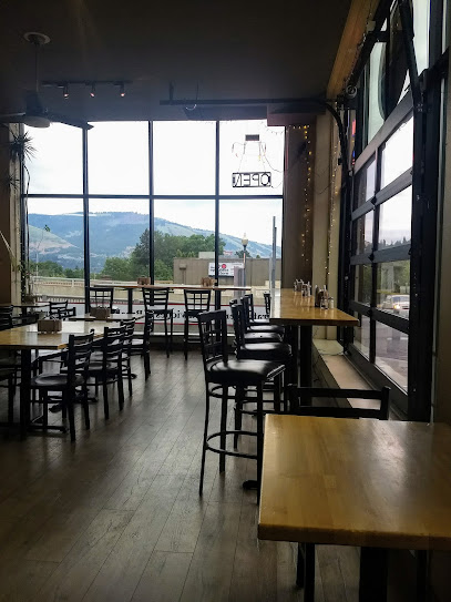
Pesco
0.5 km
Experience authentic Italian cuisine in Hood River at Pesco – where fresh ingredients meet breathtaking views.
Lampoei's Thai Kitchen
0.6 km
Discover authentic Thai flavors at Lampoei's Thai Kitchen in Hood River - a must-visit culinary destination for food lovers.
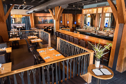
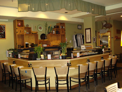
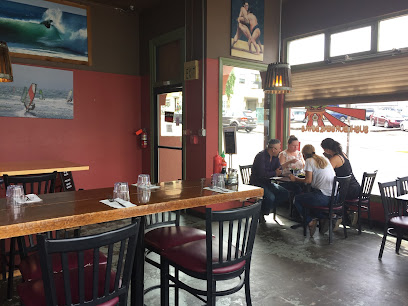
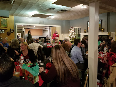
Celilo Restaurant & Bar
0.7 km
Discover the exquisite flavors of American cuisine at Celilo Restaurant & Bar in Hood River – where fine dining meets local charm.
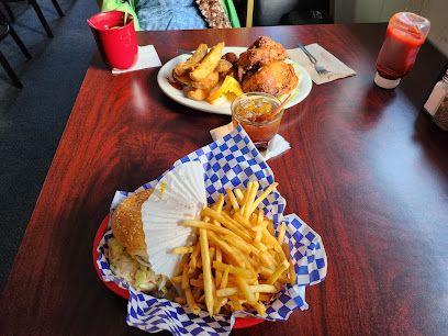
Andrew's Pizza
0.7 km
Experience the authentic flavors of Hood River at Andrew's Pizza – where delicious pies meet local charm.
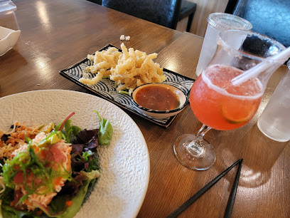
Sushi Okalani
0.7 km
Discover the vibrant flavors of Japan at Sushi Okalani in Hood River, where fresh ingredients meet artistic presentation.
Golden Goods Sandwich and Bake Shop
0.7 km
Discover the vibrant flavors of plant-based cuisine at Golden Goods Sandwich and Bake Shop in Hood River - where health meets deliciousness.
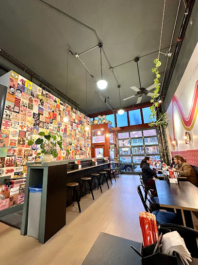
Love & Hominy
0.7 km
Experience the unique flavors of Love & Hominy in Hood River – where local ingredients meet culinary artistry.
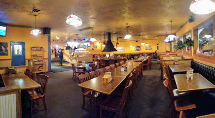
Pietro's Pizza Hood River
0.8 km
Discover delicious pizza and family fun at Pietro's Pizza in Hood River - where every meal is a celebration!
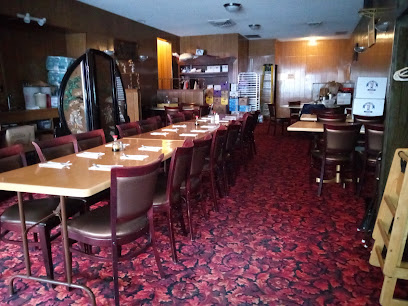
Hood River Restaurant
0.8 km
Experience the taste of authentic Chinese cuisine in Hood River with fresh ingredients and a warm atmosphere perfect for all diners.
The Subterranean Steakhouse
0.8 km
Experience delectable steaks and seafood at The Subterranean Steakhouse in Hood River—where culinary excellence meets inviting ambiance.
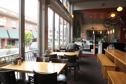
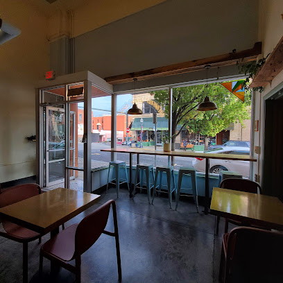
River Daze Café
0.8 km
Discover cozy comfort at River Daze Café in Hood River—your perfect stop for fresh coffee and delicious sandwiches with stunning river views.
Romuls
0.8 km
Experience authentic Italian cuisine at Romuls in Hood River, where every meal is crafted with passion and served with warmth.
Wicked Sushi, Burgers, Bowls
0.9 km
Discover Wicked Sushi in Hood River: where fresh sushi meets classic American comfort food in a delightful dining experience.
Kobe Sushi + Bar
0.9 km
Experience authentic Japanese flavors at Kobe Sushi + Bar in Hood River - where fresh sushi meets vibrant dining.
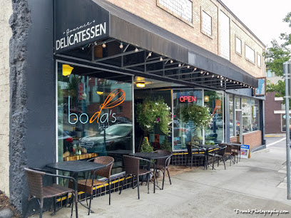
Boda's Kitchen
0.9 km
Discover Boda's Kitchen in Hood River: A beloved deli offering fresh sandwiches, local beers, and a cozy atmosphere perfect for tourists.
Markets, malls and hidden boutiques
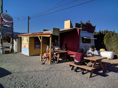
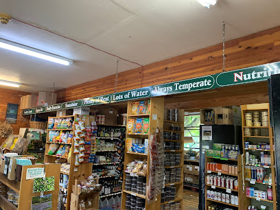
Treebird Market
0.5 km
Explore Treebird Market in Hood River, a premier destination for organic and locally-sourced food, perfect for food lovers and sustainability advocates.
windstoreusa
0.6 km
Discover WindstoreUSA in Hood River, Oregon – your top destination for top-notch outdoor gear and equipment for all adventure seekers.
Gorge Greenery All Things Cannabis- Marijuana Dispensary Hood River
0.7 km
Discover the best of cannabis culture at Gorge Greenery, Hood River's premier destination for quality products and expert advice on all things cannabis.
Doug's Hood River
0.7 km
Explore the best outdoor gear and clothing at Doug's Hood River, your go-to shop for skate, ski, and snowboard essentials in Oregon.
Arome Hood River
0.7 km
Discover Arome Hood River, where spices, gourmet groceries, and unique kitchen treasures await in a charming gift shop setting.
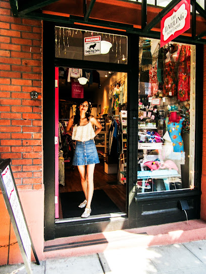
The Darling Boutique
0.7 km
Discover unique fashion treasures at The Darling Boutique in Hood River, Oregon - where style meets charm in a perfect shopping getaway.
Made in the Gorge
0.7 km
Explore local artistry and unique souvenirs at Made in the Gorge, the heart of Hood River's art scene.
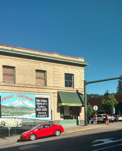
Shortt Supply
0.7 km
Discover your outdoor adventure gear at Shortt Supply, Hood River's ultimate destination for camping, hiking, and sportswear.
Lucky Littles
0.7 km
Explore Lucky Littles in Hood River, Oregon: A unique children's store filled with imaginative toys, clothing, and gifts that inspire creativity.

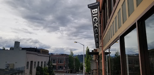
Discover Bicycles
0.7 km
Unlock the beauty of Hood River with Discover Bicycles, your go-to shop for bike rentals and expert repairs in Oregon's stunning landscapes.
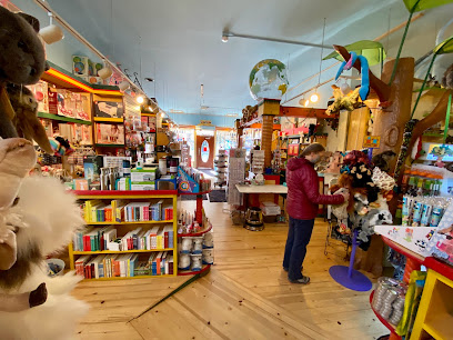
G Willikers Toy Shoppe
0.8 km
Discover the magic of play at G Willikers Toy Shoppe, Hood River's charming toy store filled with delightful toys, games, and unforgettable gifts.
Dream Street
0.8 km
Experience the charm of Hood River with unique fashion finds at Dream Street Boutique, where style meets local craftsmanship.
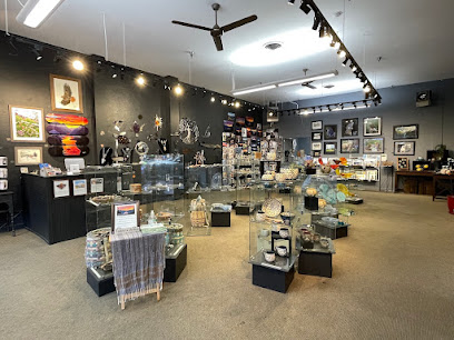
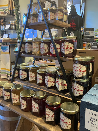
Spruce Gifts and Provisions, Hood River
0.8 km
Explore Spruce Gifts and Provisions - a charming gift shop in Hood River offering unique local treasures and handcrafted items.
Ananas Boutique
0.8 km
Discover unique fashion and personalized service at Ananas Boutique in Hood River, Oregon, a must-visit for style enthusiasts.

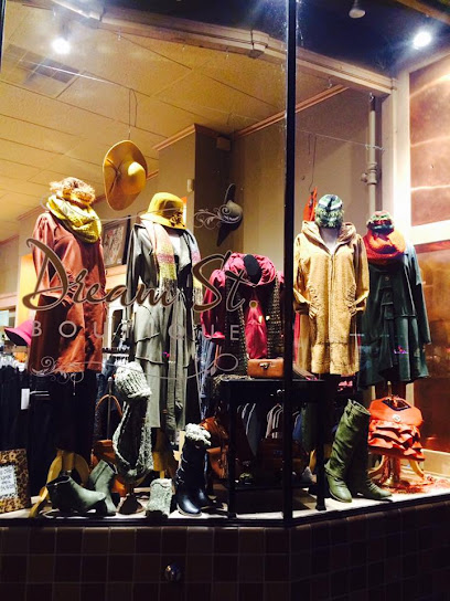
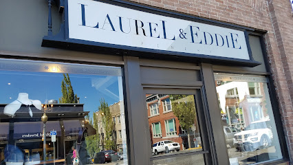
LaureL & EddiE
0.8 km
Explore LaureL & EddiE, a charming boutique in Hood River, Oregon, offering unique clothing, accessories, and gifts reflecting local craftsmanship.
Essential bars & hidden hideouts
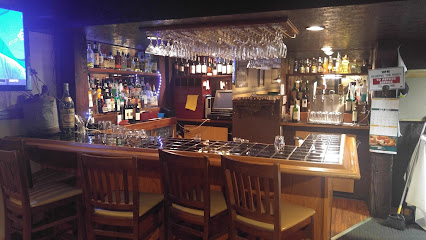
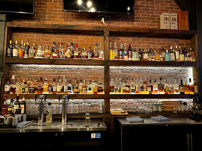
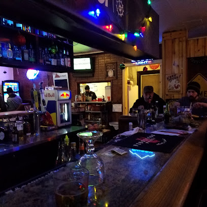
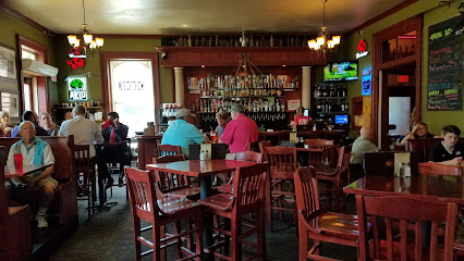
Whiskey Tango
0.7 km
Experience the vibrant cocktail culture at Whiskey Tango, Hood River's premier bar for handcrafted drinks and lively entertainment.
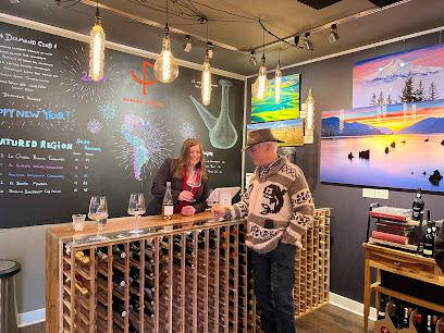
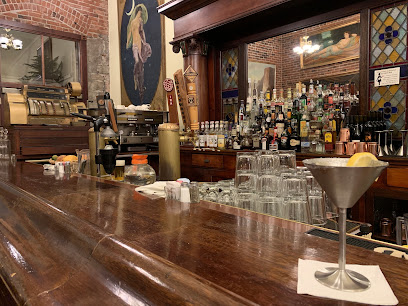
Porron Cellars
0.7 km
Experience the essence of Oregon's wine culture at Porron Cellars, a cozy wine bar in Hood River, perfect for connoisseurs and casual drinkers alike.
Golden Rose Lounge
0.8 km
Unleash your inner superstar at Golden Rose Lounge, Hood River's lively karaoke bar offering affordable drinks and a vibrant atmosphere.
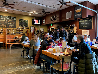
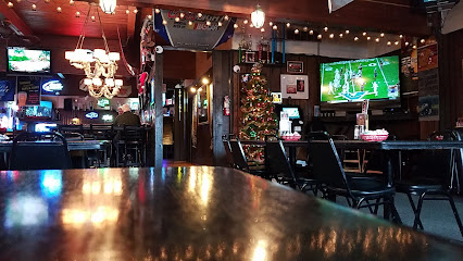
Oak St Pub
0.9 km
Discover the local vibe at Oak St Pub, a charming spot in Hood River offering craft beers and hearty dishes in a friendly atmosphere.
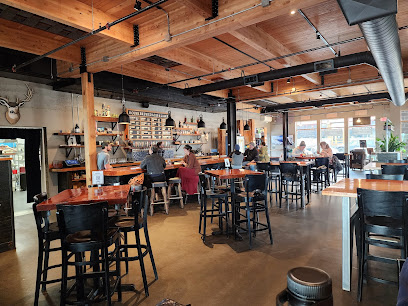
Spinning Wheels Brewing Project
1.0 km
Discover craft beer excellence at Spinning Wheels Brewing Project in Hood River, Oregon, where quality and community come together.
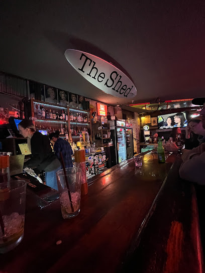
Shed
1.4 km
Discover Hood River's vibrant cocktail scene at The Shed, where craft cocktails meet a cozy ambiance, perfect for unwinding after your Oregon adventures.
Thirteen 0 One
1.5 km
Discover the vibrant atmosphere of Thirteen 0 One, a must-visit bar in Hood River, offering craft cocktails and local brews in a welcoming setting.
Everybody's Brewing
3.1 km
Discover Everybody's Brewing in White Salmon, WA: where craft beer meets gourmet cuisine in a lively, community-focused atmosphere.
Red Carpet Inn
3.4 km
Experience the local charm and vibrant atmosphere of Red Carpet Inn, a must-visit bar in Hood River, Oregon, with craft drinks and live music.
The Clubhouse at The Dalles Country Club
23.1 km
Experience exquisite dining with stunning views at The Clubhouse at The Dalles Country Club, perfect for a memorable culinary journey.
Bungalow Bar & Grill
24.5 km
Discover the charm of Bungalow Bar & Grill, your go-to spot for local brews and hearty meals in Carson, Washington.
Backwoods Brewing Company
24.5 km
Experience the best of local craft brews and delicious American cuisine at Backwoods Brewing Company in scenic Carson, WA.
The Station
24.9 km
Discover The Station in The Dalles, Oregon – your go-to lounge for delightful drinks, local events, and a cozy atmosphere.
Clock Tower Ales
27.4 km
Discover the vibrant atmosphere of Clock Tower Ales in The Dalles, Oregon, where craft beer and delightful pub fare come together.
Baldwin Saloon
27.5 km
Experience the rich flavors and vibrant atmosphere of Baldwin Saloon, a premier American restaurant and cocktail bar in The Dalles, Oregon.
Nightclubs & after hour spots
Hot point
2.9 km
Discover the vibrant atmosphere and diverse drink selections at Hot Point, the ultimate bar experience in Hood River, Oregon.
Zim's Sports Bar and Grill
28.0 km
Discover the vibrant atmosphere and delicious offerings at Zim's Sports Bar and Grill in The Dalles, where every meal is a celebration of flavor.
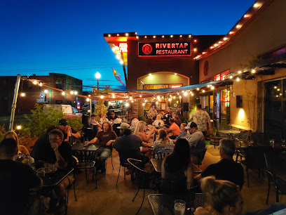
Rivertap Restaurant and Pub
28.1 km
Discover Rivertap Restaurant and Pub, where great food meets live music in the heart of The Dalles, Oregon.
Vertical Restaurant & Sports Bar at Mt. Hood Meadows
43.2 km
Discover the Vertical Restaurant & Sports Bar at Mt. Hood Meadows, where stunning mountain views meet delicious dining and vibrant sports ambiance.
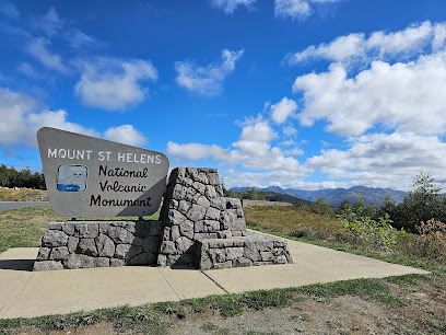
Mount St. Helens National Volcanic Monument
80.0 km
Experience the awe-inspiring beauty and ecological wonder of Mount St. Helens National Volcanic Monument, a must-visit destination in Washington State.
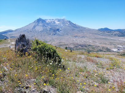
Mount Saint Helens National Volcanic Monument
84.1 km
Explore the stunning landscapes of Mount Saint Helens National Volcanic Monument, where nature, history, and adventure await in Washington's iconic preserve.
Mount St Helen Sign
92.1 km
Explore the Mount St. Helens Sign, a historical landmark symbolizing nature's resilience amidst the breathtaking landscapes of Washington State.