

Free Laurel Highlands Travel Guide & Mobile App
Explore Laurel Highlands with free travel guides. Discover regional history, expert tips, proposed trips, and audio guides on web or mobile app.


Explore Pennsylvania’s Laurel Highlands for Fallingwater, Ohiopyle’s rivers, Appalachian trails, historic battlefields and mountain-town culture.
Read more about Laurel Highlands
When is the best time to visit Laurel Highlands?
Best: June–August · 24–27°C| Month | High (°C) | Rainfall (mm) |
|---|---|---|
| January | 1 | 85 |
| February | 3 | 80 |
| March | 7 | 90 |
| April | 15 | 95 |
| May | 20 | 100 |
| June (best) | 24 | 105 |
| July (best) | 27 | 115 |
| August (best) | 26 | 115 |
| September | 21 | 100 |
| October | 15 | 90 |
| November | 9 | 85 |
| December | 4 | 85 |
Getting to and around Laurel Highlands
How to get there
Transportation
Top city travel guides in Laurel Highlands
The cities of Laurel Highlands, and the easiest places to base yourself.

Swipe for more cities
Destinations in Laurel Highlands
Resorts, valleys and scenic spots worth a trip of their own.
-
-


Swipe for more destinations
Best attractions in Laurel Highlands
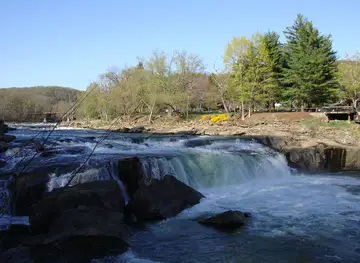
The Laurel Highlands combines outdoor recreation with an unusually concentrated collection of architectural and historical sites. Ohiopyle State Park is the principal natural attraction, with the Youghiogheny River, waterfalls, gorges, hiking routes and access to the Great Allegheny Passage. Laurel Ridge State Park and Forbes State Forest extend the region’s trail network across wooded uplands, while Laurel Caverns offers a subterranean perspective on the area’s limestone geology. Fallingwater, Kentuck Knob and Polymath Park form a major modern-architecture circuit, each showing a different relationship between buildings and their wooded setting. Fort Necessity National Battlefield preserves an important eighteenth-century conflict and the National Road landscape. In Somerset County, Flight 93 National Memorial provides a carefully designed place of remembrance. Families may also find seasonal recreation, rail-trail cycling, fishing and winter activities, although opening arrangements and access vary by site. Historic town centres, local museums and former industrial places add context between outdoor excursions, revealing how coal, railways, glassmaking and agriculture shaped communities across the mountain valleys.
-
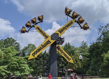
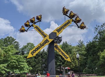
Kennywood
Experience the thrill and nostalgia of Kennywood, Pennsylvania's historic amusement park filled with fun rides and attractions for all ages.
-
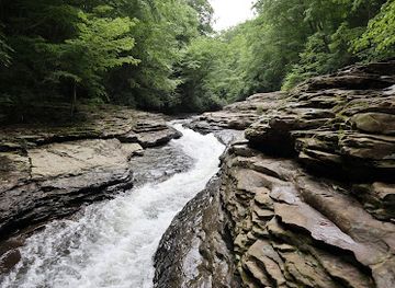
Ohiopyle State Park
Explore Ohiopyle State Park, a natural paradise in Pennsylvania with thrilling outdoor adventures, stunning landscapes, and serene nature trails for all.
-
National Aviary
Discover the vibrant world of birds at the National Aviary, Pittsburgh's premier destination for avian wonders and conservation education.
-
Idlewild & SoakZone
Discover a world of fun and excitement at Idlewild & SoakZone, where thrilling rides and water adventures await families and children of all ages.

Best landmarks in Laurel Highlands
Fallingwater is the Laurel Highlands’ most recognisable architectural landmark, with Frank Lloyd Wright’s cantilevered terraces projecting over Bear Run and integrating the house with the surrounding rocks, trees and water. Kentuck Knob, near Chalk Hill, is a smaller but significant Wright design whose low, horizontally organised form reflects the forested ridge. In the natural landscape, Ohiopyle Falls is the defining landmark of the Youghiogheny River gorge, where water passes through a broad shelf of rock at the centre of the state park. Fort Necessity’s reconstructed stockade and the nearby Mount Washington Tavern mark an important eighteenth-century military and road corridor. The Flight 93 National Memorial near Shanksville is distinguished by the Wall of Names, the Tower of Voices and the preserved landscape of the crash site. In the north-western part of the region, Ligonier’s historic Diamond and surrounding civic buildings express the plan of an old market town, while former coke works, railway corridors and industrial remnants recall the economic foundations of the mountain communities.
-
Amusement park
Kennywood
Experience the thrill of rides and the charm of history at Kennywood, Pennsylvania's iconic amusement park and National Historic Landmark.
-
State park
Ohiopyle State Park
Experience the breathtaking landscapes and thrilling adventures at Ohiopyle State Park, a natural wonderland in Pennsylvania.
-
Historical landmark
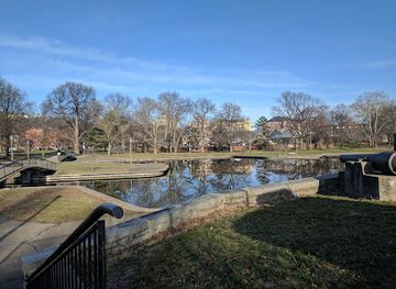
Market Square
Explore Market Square in Pittsburgh, a historical landmark brimming with local culture, dining, and vibrant community life in the heart of downtown.
-
Historical landmark
Fallingwater
Explore Fallingwater, Frank Lloyd Wright's iconic architectural masterpiece set in breathtaking natural surroundings, a true gem for art and nature enthusiasts.


Explore Laurel Highlands on the map
Plan your trip on one map. See where the top cities, national parks and sights are, and book hotels and experiences in a few clicks.
Best hotels in Laurel Highlands
Best restaurants in Laurel Highlands
Dining in the Laurel Highlands is dispersed rather than concentrated in one restaurant district. Ohiopyle, Somerset, Ligonier, Connellsville, Uniontown and the surrounding villages offer a mixture of family restaurants, cafés, taverns, bakeries and rural establishments, with more choice in the larger towns. Menus commonly draw on Pennsylvania traditions alongside contemporary American cooking, using seasonal produce, dairy, meat and baked goods from the surrounding countryside. Visitors may encounter regional comfort food, hearty breakfasts, sandwiches, soups and dishes influenced by the German, Central European and other immigrant communities that arrived during the industrial era. Local beer and Pennsylvania wines appear in some dining rooms, while farm stands and seasonal markets are useful for fruit, preserves and other provisions. Near the parks, informal food is more common than elaborate dining, so plan meals and refuelling around the day’s route. Reservations are sensible for well-known restaurants and busy autumn weekends, but the region’s culinary character is best understood through its varied small-town and rural food culture.
-
American
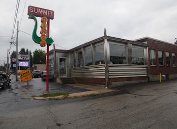
Summit Diner
Experience the charm of classic American dining at Summit Diner in Somerset, PA - your go-to spot for hearty breakfasts and friendly service.
-
Family-friendly
Brady's Restaurant
Experience the warmth of family dining at Brady's Restaurant in Acme, PA - where delicious breakfasts meet friendly service.
-
Barbecue
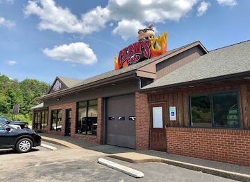
Clem's Cafe
Experience authentic American barbecue at Clem's Cafe in Blairsville - where flavor meets comfort in every bite!
-
American
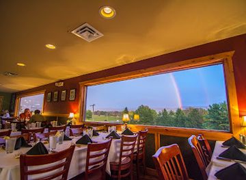
Out of the Fire Cafe
Experience exquisite American cuisine in a rustic setting at Out of the Fire Cafe in Donegal, PA—perfect for food lovers seeking local flavors.

Best bars in Laurel Highlands
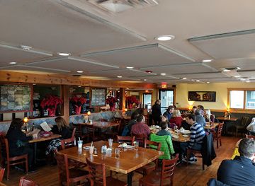
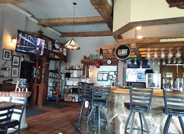
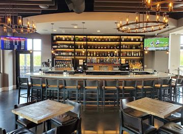
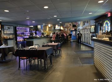
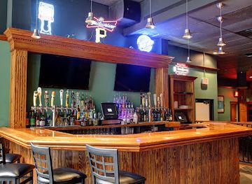
Evening life in the Laurel Highlands is centred on taverns, brewpubs, restaurant bars and historic inns rather than a large nightclub scene. Ohiopyle and the towns along the Youghiogheny corridor become more sociable during the outdoor season, while Somerset, Uniontown, Connellsville, Greensburg and Latrobe provide broader choices for dining, live music and late-evening drinks; Greensburg and Latrobe are outside or on the edge of the core Laurel Highlands area but can serve as nearby evening bases. Rural establishments often close earlier than urban venues, and distances between them make responsible driving important. Craft beer, Pennsylvania spirits, seasonal events and acoustic or local live music may feature in the region’s evening culture, but programmes and opening arrangements change. After dark, the forests and river valleys are better suited to quiet accommodation, stargazing and rest than to organised nightlife.
-
American
Out of the Fire Cafe
Discover the flavors of Donegal at Out of the Fire Cafe, where innovative American cuisine meets a cozy atmosphere.
-
Bar
Carol & Dave's Roadhouse
Experience the lively ambiance and delicious American cuisine at Carol & Dave's Roadhouse in Ligonier, Pennsylvania.
-
Bar
IronRock Tap House
Experience the perfect blend of craft beer and delicious dining at IronRock Tap House, Greensburg's premier bar and event venue.
-
Bar
The Headkeeper
Discover the vibrant atmosphere of The Headkeeper, Greensburg's favorite bar, serving unique craft beers and delicious bites in a cozy setting.
Best nightclubs in Laurel Highlands
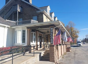
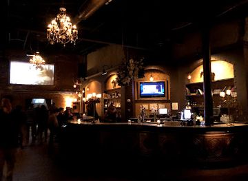
Evening life in the Laurel Highlands is centred on taverns, brewpubs, restaurant bars and historic inns rather than a large nightclub scene. Ohiopyle and the towns along the Youghiogheny corridor become more sociable during the outdoor season, while Somerset, Uniontown, Connellsville, Greensburg and Latrobe provide broader choices for dining, live music and late-evening drinks; Greensburg and Latrobe are outside or on the edge of the core Laurel Highlands area but can serve as nearby evening bases. Rural establishments often close earlier than urban venues, and distances between them make responsible driving important. Craft beer, Pennsylvania spirits, seasonal events and acoustic or local live music may feature in the region’s evening culture, but programmes and opening arrangements change. After dark, the forests and river valleys are better suited to quiet accommodation, stargazing and rest than to organised nightlife.
-
Howl at the Moon Pittsburgh
Discover the vibrant nightlife at Howl at the Moon Pittsburgh, where live music and great cocktails create unforgettable memories.
-
The Stone House Restaurant and Country Inn
Discover the charm of The Stone House Restaurant and Country Inn, a culinary haven in Farmington, Pennsylvania, blending rustic elegance with exquisite flavors.
-
Mixtape
Explore the eclectic vibes of Mixtape, a cocktail bar and lounge in Pittsburgh, offering a unique blend of artisan cocktails and coffee in a vibrant setting.
-
Night club
Cavo Night Club
Discover the excitement of Cavo Night Club in Pittsburgh - a hub for live music, comedy, and unforgettable nightlife adventures.

Best shops in Laurel Highlands
Shopping in the Laurel Highlands is concentrated in traditional small-town centres, independent shops, seasonal markets and rural producers rather than large metropolitan retail districts. Ligonier’s central Diamond and Somerset’s historic town centre provide places to browse antiques, books, gifts, clothing, galleries and locally made goods, while nearby towns offer practical high-street services. Farm stands and markets are useful for apples, pumpkins, preserves, baked goods, honey and other Pennsylvania produce, especially during the warmer months and autumn harvest season. Craft shops and galleries may feature pottery, woodwork, paintings, textiles and regional decorative work, though stock and opening patterns vary. Outdoor visitors can find equipment and clothing in larger settlements, but specialist supplies should be bought before heading into remote parks. Souvenirs connected with Fallingwater, the National Road, local railways or Appalachian landscapes are more meaningful than generic merchandise, and shopping is best combined with a visit to a market town rather than treated as a separate urban experience.
-
Flea market
Miller's Crossing Fleatique
Explore Miller's Crossing Fleatique, a unique flea market in Irwin, PA, filled with antiques, collectibles, and thrift store finds perfect for every treasure hunter.
-
Gift shop
Kawaii Gifts
Discover the enchanting world of Kawaii Gifts in Shadyside, where cuteness meets creativity in a delightful shopping experience.
-
Hobby store
Get A Hobby
Explore a world of creativity at Get A Hobby, your one-stop shop for crafts, model trains, drones, and toys in Uniontown, PA.
-
Grocery store
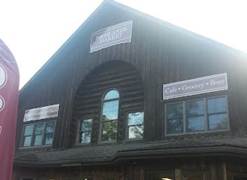
Highlands Market
Explore Highlands Market in Champion, PA: Your destination for local groceries and a cozy café experience.


Get your free copy of our complete guide to Laurel Highlands, delivered straight to you.
Everything on this page, from attractions and restaurants to essentials and local phrases, in one PDF you can read offline, print or share.
Already have an account? Sign in
Your Laurel Highlands guide is ready.
We'll send it to · Not you? Sign out

Getting your guide ready…
We are putting together a fresh copy of the Laurel Highlands guide. This can take up to a minute.
This can take a few moments. If your browser asks, choose Allow so the download can start. You'll find the guide in your Downloads folder.
Nothing happened? Download it again
Sorry, the guide is taking longer than usual. Please try again in a minute, or get it by email instead.
Laurel Highlands essentials
Currency and Payment
Safety
Emergency Situations
Do's and Don'ts
Local Tips
From Eve
Local phrases worth knowing
You don't need to get them perfect. A few words go a long way, and locals appreciate the effort.
Basics
| English | Local | Say it |
|---|---|---|
| Hello | Howdy | [Haw-dee] |
| Goodbye | See ya | [See ya] |
| Yes | Yup | [Yup] |
| No | Nah | [Nah] |
| Please/You're welcome | Please / No problem | [Please / No problem] |
| Thank you | Thanks | [Thanks] |
| Excuse me/Sorry | Excuse me / Sorry | [Excuse me / Sorry] |
| How are you? | How ya doin'? | [How ya doin'?] |
| Fine. And you? | Good. And you? | [Good. An' you?] |
| Do you speak English? | Do ya speak English? | [Do ya speak English?] |
| I don't understand | I don't get it | [I don't get it] |
Eating & Drinking
| English | Local | Say it |
|---|---|---|
| I'd like to see the menu, please | Can I see the menu, please? | [Can I see the menu, please?] |
| I don't eat meat | I don't eat meat | [I don't eat meat] |
| Cheers! | Cheers! | [Cheers!] |
| I would like to pay, please | Can I get the check, please? | [Can I get the check, please?] |
Emergencies
| English | Local | Say it |
|---|---|---|
| Help! | Help! | [Help!] |
| Go away! | Get lost! | [Get lost!] |
| Call the Police! | Call the cops! | [Call the cops!] |
| Call a doctor! | Get a doctor! | [Get a doctor!] |
| I'm lost | I'm lost | [I'm lost] |
| I'm ill | I'm sick | [I'm sick] |
Shopping
| English | Local | Say it |
|---|---|---|
| I'd like to buy... | I wanna buy... | [I wanna buy...] |
| I'm just looking | Just lookin' | [Just lookin'] |
| How much is it? | How much's this? | [How much's this?] |
| That's too expensive | That's too pricey | [That's too pricey] |
| Can you lower the price? | Can you drop the price? | [Can you drop the price?] |
Time & Numbers
| English | Local | Say it |
|---|---|---|
| What time is it? | What time is it? | [What time is it?] |
| It's one o'clock | It's one | [It's one] |
| Half past (10) | Half past ten | [Half past ten] |
| Morning | Morning | [Morning] |
| Afternoon | Afternoon | [Afternoon] |
| Evening | Evening | [Evening] |
| Yesterday | Yesterday | [Yesterday] |
| Today | Today | [Today] |
| Tomorrow | Tomorrow | [Tomorrow] |
| 1 | One | [One] |
| 2 | Two | [Two] |
| 3 | Three | [Three] |
| 4 | Four | [Four] |
| 5 | Five | [Five] |
| 6 | Six | [Six] |
| 7 | Seven | [Seven] |
| 8 | Eight | [Eight] |
| 9 | Nine | [Nine] |
| 10 | Ten | [Ten] |
Transport & Directions
| English | Local | Say it |
|---|---|---|
| Where's a/the...? | Where's the...? | [Where's the...?] |
| What's the address? | What's the address? | [What's the address?] |
| Can you show me (on the map)? | Can you show me on the map? | [Can you show me on the map?] |
| When's the next (bus)? | When's the next bus? | [When's the next bus?] |
| A ticket (to ....) | A ticket to ... | [A ticket to ...] |
History of Laurel Highlands
Indigenous Homelands and Early Cross-Mountain Routes
Long before European settlement, the uplands and valleys of southwestern Pennsylvania were used by Indigenous peoples, including communities associated with the broader Ohio Valley and Allegheny region. Rivers, ridgelines and established paths shaped movement through the mountains. Later colonial roads followed some of these practical routes, linking the eastern seaboard with the interior. The region’s modern highways and heritage corridors therefore occupy a landscape whose importance as a passage through the Appalachians predates the United States.
Fort Necessity and the French and Indian War, 1754
In 1754, George Washington and Virginia troops built Fort Necessity in the Great Meadows near present-day Farmington. A French and Indigenous force attacked the crude stockade on 3 July, compelling Washington’s surrender and helping initiate the French and Indian War. The battlefield, reconstructed fort and nearby Mount Washington Tavern are preserved at Fort Necessity National Battlefield. The site illustrates the strategic importance of mountain passes and the contested imperial frontier that preceded the American Revolution.
The National Road and Westward Movement
The National Road, authorised in the early nineteenth century, crossed the Laurel Highlands through the Cumberland Narrows and the mountain settlements of present-day Fayette and Somerset counties. It provided one of the first federally supported routes connecting the eastern states with the developing interior. Taverns, toll facilities and wagon-related businesses grew along the route, while towns such as Uniontown became important stopping points. Portions of the old road and surviving buildings preserve the region’s role in early American overland travel.
Coal, Coke and Industrial Communities
During the nineteenth and early twentieth centuries, abundant coal transformed the Laurel Highlands. Connellsville’s coalfield became particularly important for producing coke, a processed form of coal used in iron and steel manufacture. Mines, ovens, railways and company communities reshaped valleys across Fayette, Somerset and Westmoreland counties. Industrial employment attracted immigrants and created lasting cultural diversity, while the environmental and economic consequences of extraction remain visible in former mining landscapes, reclaimed sites and towns whose fortunes were tied to changing energy markets.
Railways, Glassmaking and Mountain Towns
Rail transport connected the region’s mines, farms and factories with larger markets, encouraging the growth of towns such as Mount Pleasant, Somerset and Ligonier. Westmoreland County also developed a notable glassmaking tradition, especially in and around the county’s historic industrial communities. Railways later declined as freight patterns changed, but abandoned corridors helped create recreational routes, including sections of the Great Allegheny Passage. The region’s present-day balance of heritage tourism and outdoor recreation is closely linked to this industrial and transport legacy.
Frank Lloyd Wright and Fallingwater
Frank Lloyd Wright designed Fallingwater for the Kaufmann family in the 1930s, placing the house directly above a waterfall near Mill Run. Rather than treating the landscape as a backdrop, the design incorporates the sound, movement and rock of the stream into the experience of the building. Fallingwater became a defining work of modern architecture and is now a UNESCO World Heritage component within the twentieth-century architecture of Frank Lloyd Wright listing. Kentuck Knob and other nearby modernist houses extend this architectural story across the region.
The Flight 93 Memorial and Contemporary Memory
On 11 September 2001, United Airlines Flight 93 crashed in a field near Shanksville after passengers and crew resisted the hijackers. The Flight 93 National Memorial now preserves the crash site and commemorates the 40 people aboard. Its Memorial Plaza, Wall of Names and Tower of Voices create a setting for remembrance without reducing the event to spectacle. The site has become an important part of the Laurel Highlands’ modern historical landscape and a place requiring quiet, respectful behaviour.
Laurel Highlands in Photos
Browse through our photo collection highlighting the charm and character of the destination.
Neighbouring regions of Laurel Highlands
The closest regions to Laurel Highlands, if you have time for more than one.
-

-

-
 Appalachian Mountains
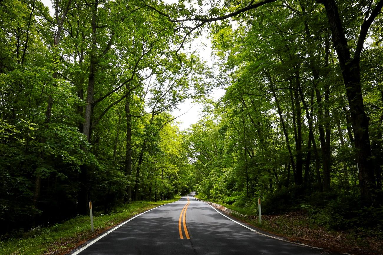
Explore Pennsylvania’s Appalachian Mountains for forested ridges, waterfall trails, historic towns, river valleys and landmark architecture.
-
 South Central Pennsylvania
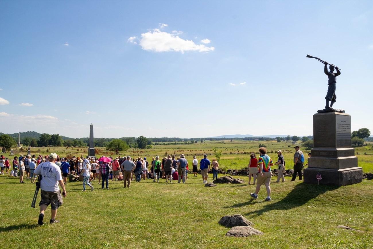
Explore South Central Pennsylvania for Gettysburg history, Lancaster farmland, Hershey chocolate, Appalachian trails and Susquehanna River towns.
-


Swipe for more regions
Explore more

Explore more of Pennsylvania
Discover Pennsylvania: A blend of rich history, breathtaking nature, and vibrant culture awaits you in the Keystone State.
Explore Pennsylvania