Ascend to the Majestic Stoenița Peak
Discover the breathtaking beauty of Stoenița Peak, a hiker's paradise in Romania offering stunning vistas and diverse trails for all skill levels.
The Stoenița Peak, towering at 2421 meters, offers an unforgettable hiking experience for adventurous tourists. This breathtaking destination is a must-visit for nature lovers, featuring stunning panoramas and a variety of trails suitable for all skill levels. As you navigate through the lush landscapes, you'll encounter awe-inspiring views that make every step worthwhile, culminating in a rewarding summit experience.
A brief summary to The Stoeniţa peak 2421m
- Traseul de Creastă, RO
- Monday 12 am-12 am
- Tuesday 12 am-12 am
- Wednesday 12 am-12 am
- Thursday 12 am-12 am
- Friday 12 am-12 am
- Saturday 12 am-12 am
- Sunday 12 am-12 am
Local tips
- Wear comfortable hiking shoes for better grip and support on the trails.
- Start your hike early in the morning to avoid crowds and enjoy the sunrise.
- Bring plenty of water and snacks to keep your energy up during the hike.
- Don't forget your camera to capture the stunning views from the summit.
- Check the weather forecast before your visit to ensure a safe hiking experience.
Getting There
-
Car
If you're traveling by car, head towards the Parang Mountains via the DN66 road from Târgu Jiu or Petroșani. Once you reach the vicinity of the Parang Mountains, look for signs leading to the Rânca resort area. Park your car at the designated parking area near Rânca (coordinates: 45.3531, 23.4893). From the parking area, you will need to start your hike towards Stoeniţa peak, which is part of the Creasta Traseul de Creastă trail.
-
Public Transportation
To reach the Parang Mountains using public transportation, take a train to either Târgu Jiu or Petroșani. From Târgu Jiu, you can take a bus to Rânca. The bus will drop you off near the Rânca resort area. Ensure to check the bus schedule in advance, as services may be limited. Once in Rânca, you will need to embark on a hike towards Stoeniţa peak, following the same trail as the car route.
-
Hiking
From the Rânca parking area, follow the marked trail for Traseul de Creastă. The trail is well-defined and leads directly toward Stoeniţa peak. It is advisable to have a topographic map or GPS device, as the terrain can become steep and rocky as you approach the peak. The hike typically takes 2-3 hours, depending on your pace, with a total elevation gain of about 600 meters.
Discover more about The Stoeniţa peak 2421m
Iconic landmarks you can’t miss
Vârful Stoinița, Munții Parâng
0.0 km
Explore Vârful Stoinița, a hidden mountain peak in Romania offering stunning views, diverse wildlife, and unforgettable hiking adventures.
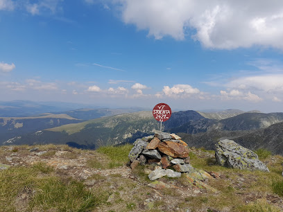
Vârful Cârja, Munții Parâng
0.9 km
Explore Vârful Cârja, a breathtaking mountain peak in the Parâng Mountains, offering stunning views and thrilling hiking opportunities amid Romania's natural beauty.
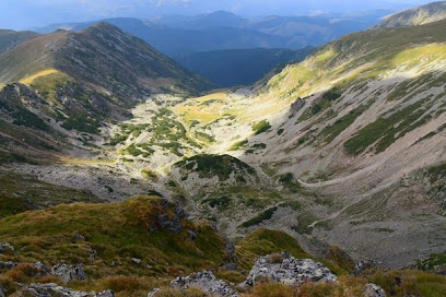
Vârful Gemănarea, Munții Parâng
1.4 km
Discover the breathtaking beauty of Vârful Gemănarea in the majestic Munții Parâng, a perfect destination for hiking and nature lovers in Romania.
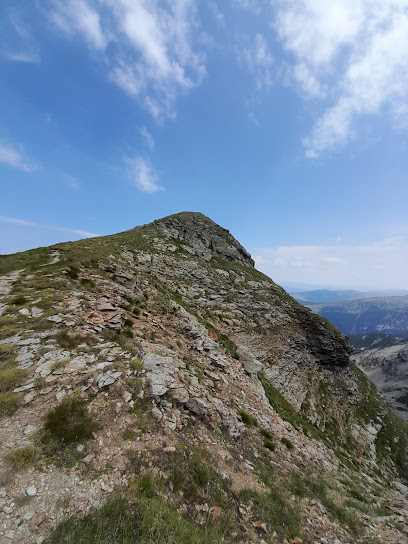
Parângu Mare
1.9 km
Discover Parângu Mare, one of Romania's highest peaks, offering breathtaking views and thrilling hiking trails amidst stunning natural landscapes.
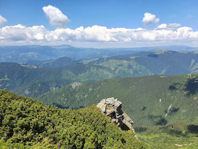
Păpușa Peak
2.1 km
Experience the breathtaking beauty of Păpușa Peak, a must-visit destination for nature lovers and adventure seekers in Romania.
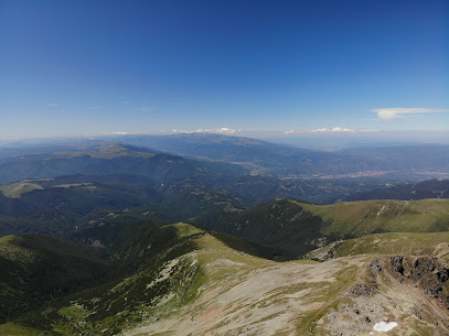
Refugiul Agăţat
2.3 km
Discover the charm of Refugiul Agățaț, a cozy indoor lodging nestled in the stunning Parâng Mountains, perfect for nature lovers and adventurers.
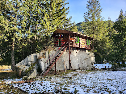
Parâng Mountains
3.1 km
Explore the breathtaking landscapes and thrilling outdoor adventures of the Parâng Mountains in Romania, a paradise for nature lovers.
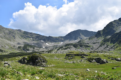
Vârful Ieșu, Munții Parâng
3.1 km
Discover the breathtaking vistas of Vârful Ieșu, a stunning peak in Romania's Parâng Mountains, perfect for hikers and nature lovers alike.

Munţii Parâng
4.6 km
Discover the breathtaking beauty of Munții Parâng: hiking trails, serene lakes, and rich biodiversity await in this Romanian natural wonder.
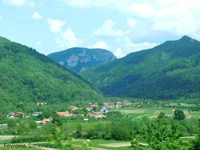
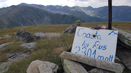
Vârful Coasta lui Rus, Munții Parâng
4.8 km
Discover the breathtaking views and exhilarating trails at Vârful Coasta lui Rus in the stunning Parâng Mountains of Romania.
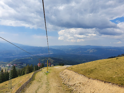
Stațiunea Parâng
5.3 km
Experience the thrill of skiing and the charm of mountain culture at Stațiunea Parâng, Romania's premier winter wonderland.
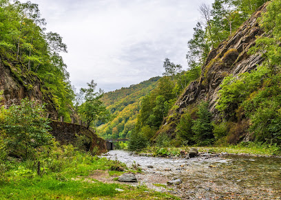
Cheile Jietului
6.8 km
Discover the breathtaking beauty of Cheile Jietului, a premier hiking destination in Romania, perfect for adventure seekers and nature lovers alike.
Valea Lotrului
8.1 km
Explore the breathtaking landscapes and trails of Valea Lotrului, Romania's premier hiking destination, perfect for adventurers and nature lovers.
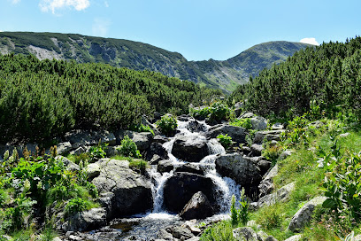
Masivul Parâng
8.6 km
Explore the breathtaking beauty of Masivul Parâng, Romania's majestic mountain peak, offering stunning landscapes and endless outdoor adventures.
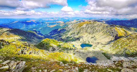
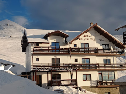
Cabana Transalpina
13.0 km
Discover the rustic charm and breathtaking views of Cabana Transalpina, the perfect mountain lodge for adventure seekers and nature lovers.
Unmissable attractions to see
Vf. Stoienița
0.1 km
Experience the breathtaking beauty of Vf. Stoienița, a premier hiking destination in Romania, where adventure and nature await.
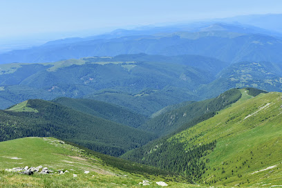
Saua Stoenița
0.6 km
Discover the breathtaking hiking trails of Saua Stoenița, where nature meets adventure in Romania's stunning landscapes.
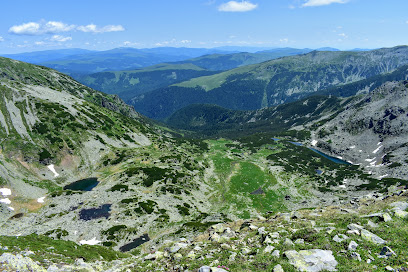
The Cârja peak 2405m
0.8 km
Explore the breathtaking Cârja Peak - a must-visit hiking destination in Romania, offering stunning views and exhilarating trails for all adventurers.
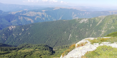
Platoul Parang - Lacul Zanoaga Stanii
1.8 km
Explore the stunning beauty of Platoul Parang - Lacul Zanoaga Stanii, a tranquil nature preserve perfect for hiking, birdwatching, and reconnecting with nature.
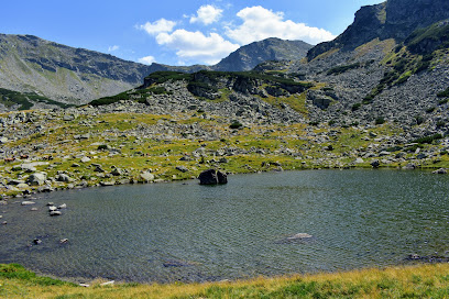
Traseul de creasta Parang
2.5 km
Discover the breathtaking vistas and rich biodiversity of Traseul de creasta Parang, a premier hiking destination in Romania's Carpathian Mountains.
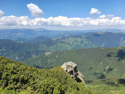
The Parângul Mic peak 2074m
4.5 km
Explore the breathtaking heights of Parângul Mic Peak, a hiker's paradise in the heart of Romania's Carpathian Mountains, offering stunning views and serene nature.
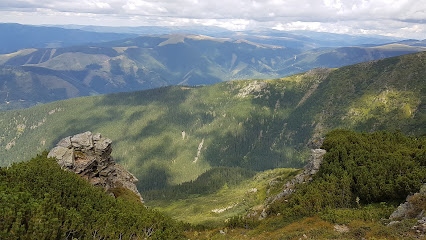
Caldarea Dracului
6.3 km
Explore the captivating natural beauty and mythical legends of Caldarea Dracului, a must-visit tourist attraction in Romania's breathtaking Rânca region.
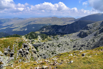
Lake Gâlcescu
6.7 km
Experience the serene beauty of Lake Gâlcescu, a tranquil escape in Voineasa, Romania, perfect for nature lovers and adventure seekers.
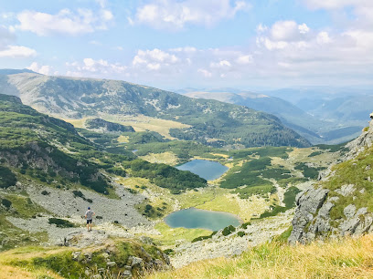
Waterfall shower Ranger
6.9 km
Experience the revitalizing sensation of the Waterfall Shower Ranger, a unique outdoor attraction in Jieț, Romania, perfect for nature lovers and adventure seekers.
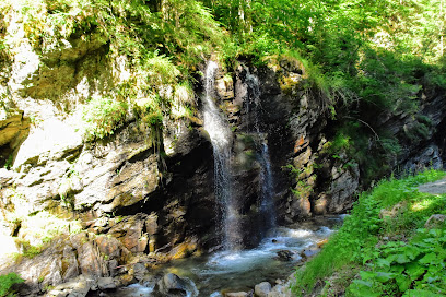
Leagan Parang
6.9 km
Explore the natural beauty and rich culture of Leagan Parang in Jieț, Romania, a stunning tourist attraction perfect for all travelers.
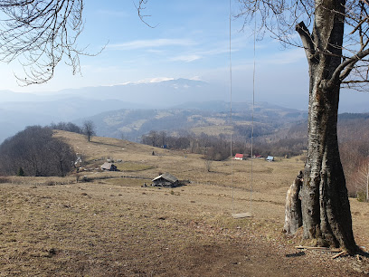
Stâna Ștefanu
9.4 km
Experience the essence of Romanian culture at Stâna Ștefanu, a delightful restaurant and tourist attraction in the heart of Voineasa.
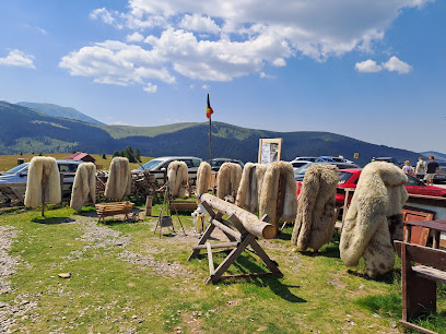
Belvedere Transalpina
9.7 km
Discover the breathtaking beauty of Belvedere Transalpina, a must-see tourist attraction in the heart of Romania's Carpathian Mountains.
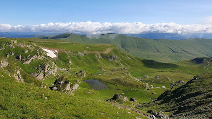
Cascada Carbunele
9.7 km
Discover the enchanting beauty of Cascada Carbunele, a stunning waterfall in Obârșia Lotrului, surrounded by lush landscapes and rich biodiversity.
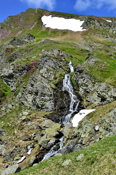
Iezerul Muntinului
9.8 km
Explore the serene beauty of Iezerul Muntinului, a breathtaking lake surrounded by majestic mountains and rich biodiversity in Romania.
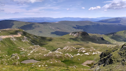
Transalpina
9.8 km
Explore Transalpina, Romania's highest mountain road, with breathtaking views and rich cultural heritage for an unforgettable travel experience.
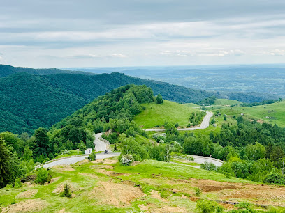
Essential places to dine
Cabana La Răzvan
5.3 km
Discover the charm of Cabana La Răzvan - a mountain retreat offering cozy lodging, delicious Romanian cuisine, and breathtaking views in Petroșani.
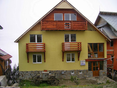
Pensiunea Ayana
7.7 km
Experience unparalleled comfort at Pensiunea Ayana in Petroșani - where luxury meets nature's beauty.
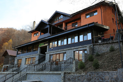
Conacul Radacinilor
9.1 km
Discover Conacul Radacinilor: A Perfect Blend of Hospitality, Tradition, and Nature's Beauty in Romania.
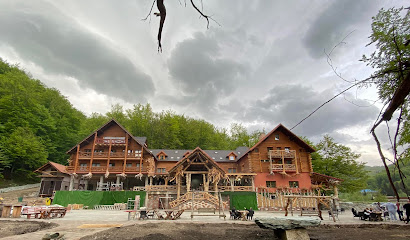
Popasul ghita rodica
9.6 km
Experience authentic Romanian flavors at Popasul Ghita Rodica in Obârşia Lotrului – where tradition meets stunning landscapes.
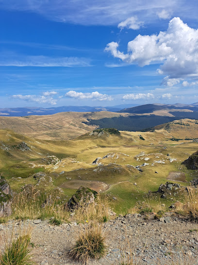
Cabana Andreea Telescaun
13.1 km
Experience comfort and breathtaking mountain views at Cabana Andreea Telescaun in Rânca – your ultimate retreat for relaxation and adventure.
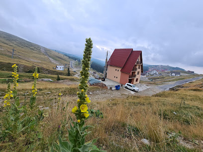
Chalet Ines
13.1 km
Discover authentic Romanian cuisine amid breathtaking mountain scenery at Chalet Ines in Obârşia Lotrului.
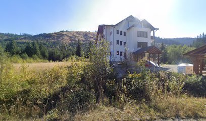
Cabana Parâng
13.2 km
Discover comfort and adventure at Cabana Parâng – your perfect mountain retreat in Rânca.
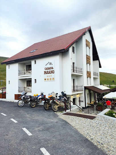
Hanul Lupilor Transalpina
13.4 km
Discover tranquility at Hanul Lupilor Transalpina - your perfect mountain getaway amidst breathtaking scenery and authentic Romanian hospitality.
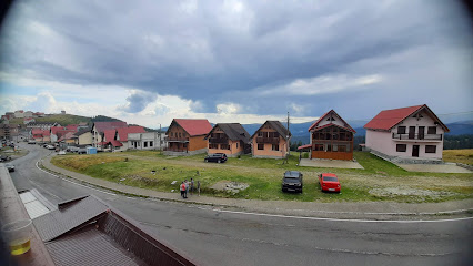
Cetina
13.5 km
Experience tranquility and adventure at Cetina Hotel in Rânca – your perfect getaway nestled in Romania's stunning Carpathian Mountains.
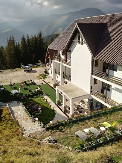
Restaurant Tara Ranca
13.6 km
Experience authentic Romanian cuisine amidst breathtaking mountain views at Restaurant Tara Ranca in scenic Rânca.
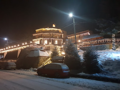
Complex Veverița Rânca
13.8 km
Experience unparalleled relaxation and stunning mountain views at Complex Veverița Rânca - your ideal retreat for dining, spa services, and outdoor adventures.
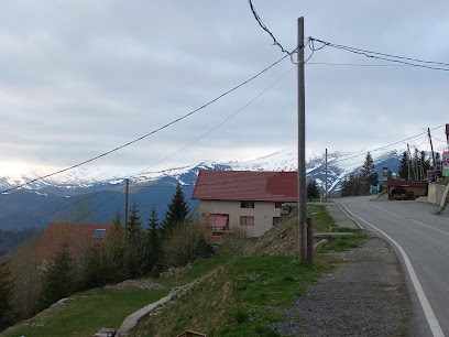
Divine Bistro
14.1 km
Discover the flavors of Romania at Divine Bistro - where local cuisine meets modern dining in the heart of Petroșani.

Transalpina spa Ranca Pgm Spa & Lounge
14.2 km
Experience ultimate relaxation at Transalpina Spa & Lounge in Rânca – your mountain oasis for wellness and rejuvenation.

Restaurant Medieval
14.4 km
Dine like royalty at Restaurant Medieval in Petroșani - where history meets flavor in an enchanting atmosphere.
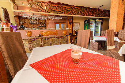
Restaurant Tobo Ranca
14.5 km
Experience exquisite dining at Restaurant Tobo Ranca - where culinary delights meet stunning mountain vistas.

Markets, malls and hidden boutiques
Stâna din Muntele Ștefanu
9.5 km
Discover the authentic taste of Romania at Stâna din Muntele Ștefanu, a charming dairy store offering fresh local products in stunning mountain scenery.
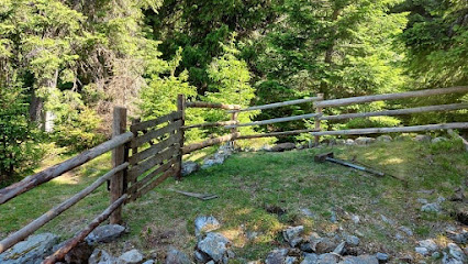
Târg suveniruri
9.6 km
Explore Târg Suveniruri for authentic Romanian souvenirs, handcrafted treasures, and a taste of local culture in a vibrant shopping atmosphere.
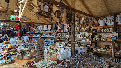
Stâna D. Sălane
11.7 km
Explore the authentic taste of Romania at Stâna D. Sălane, a health food store offering locally-sourced delicacies in Obârşia Lotrului.
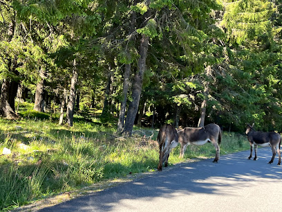
Piatra Râncii
13.2 km
Explore the majestic beauty of Piatra Râncii, a perfect lodging retreat nestled in the breathtaking Transalpina mountains of Romania.

Olimpic Market
13.4 km
Discover the charm of Rânca at Olimpic Market, where local goods and cultural treasures await every traveler.
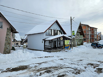
Pensiunea Alpin - Ranca
13.8 km
Discover the charm of Pensiunea Alpin in Rânca, your ideal mountain retreat for adventure and relaxation in Romania.
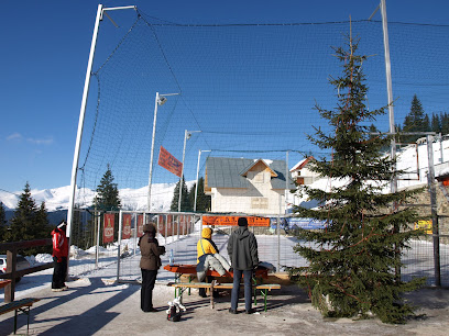
Casa Valea Gilortului
13.9 km
Experience the tranquility and natural beauty of Rânca at Casa Valea Gilortului, your perfect mountain retreat in the heart of the Carpathians.
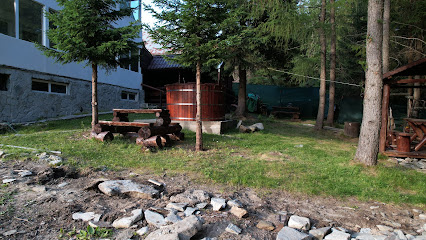
Boutique By Smart Party
14.4 km
Explore Boutique By Smart Party in Petroșani for exquisite gift baskets filled with local delights and handcrafted treasures, perfect for souvenirs.

Mini market
14.6 km
Explore Rânca with ease by visiting the Mini Market, your local source for snacks, groceries, and travel essentials in the Carpathian Mountains.
Vila Ranca
15.1 km
Experience the serene beauty of the Carpathians at Vila Ranca, your cozy retreat for unforgettable mountain adventures.
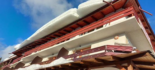
Pensiunea Tobo
26.1 km
Experience comfort and local charm at Pensiunea Tobo in Baia de Fier, your gateway to Romania's stunning natural landscapes.
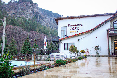
Radianz S.R.L.
39.4 km
Explore Radianz S.R.L. in Târgu Jiu for a unique selection of handcrafted gifts and souvenirs that embody the essence of Romanian culture.

Magazin Diana
39.9 km
Discover local flavors and essentials at Magazin Diana, the premier supermarket in Mălaia, offering fresh produce and a variety of products for every traveler.
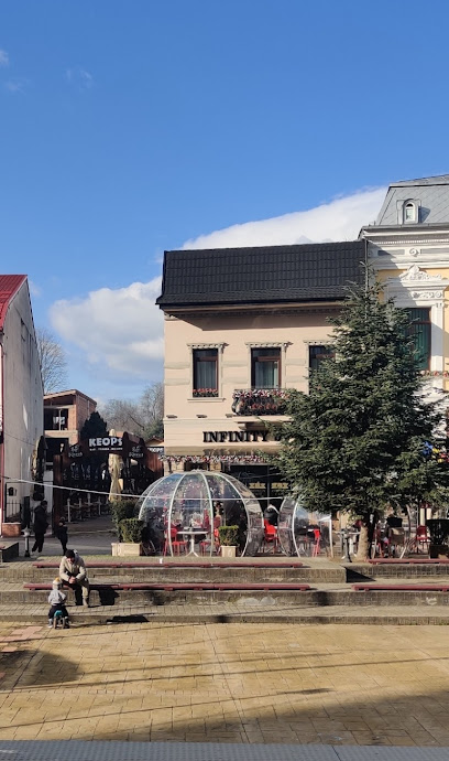
Infinity Cafe by Rylke
40.7 km
Experience the perfect blend of ambiance and flavor at Infinity Cafe by Rylke in Târgu Jiu, a coffee lover's paradise.
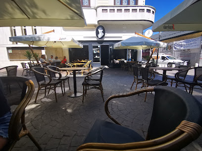
Margit
40.7 km
Discover Margit, a cozy coffee shop in Târgu Jiu offering aromatic brews and a warm ambiance, perfect for relaxing and socializing.
Essential bars & hidden hideouts
Vila Iulian
5.4 km
Discover Vila Iulian, a charming bar in Jieț offering a cozy atmosphere, local drinks, and a perfect spot to unwind after exploring Romania's beauty.
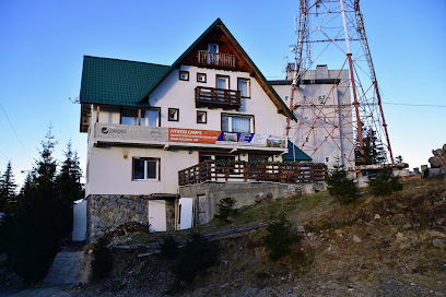
Apres Ski Parang
5.7 km
Experience the quintessential après-ski atmosphere at Apres Ski Parang, where relaxation meets adventure in the heart of the Carpathians.

Coconea snowbar
5.8 km
Experience the charm of Coconea Snowbar, where winter magic meets delightful drinks and breathtaking mountain views.
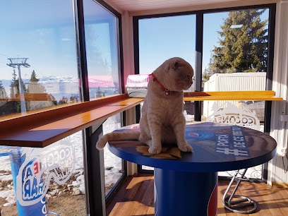
Székely Restaurant
9.6 km
Experience the heart of Romanian cuisine at Székely Restaurant, where tradition and flavor come together in a delightful dining experience.
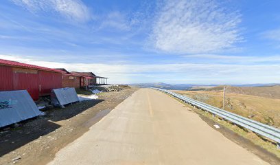
Bar Gradina De Vara Casuta Ardeleana
13.3 km
Experience the vibrant local culture at Bar Gradina De Vara Casuta Ardeleana in Petroșani, a perfect spot for relaxing and socializing.
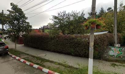
Exodus Bar
13.7 km
Discover vibrant nightlife, diverse drinks, and a welcoming atmosphere at Exodus Bar in Petroșani for an unforgettable evening.

Zoom Cafe Bar
13.9 km
Experience the vibrant atmosphere of Zoom Cafe Bar in Petroșani, where delightful drinks meet warm hospitality in a cozy setting.
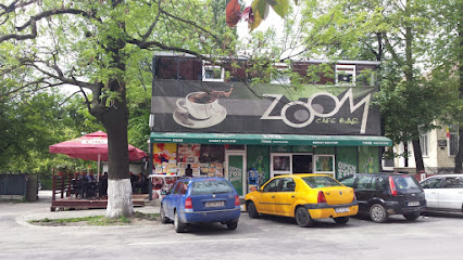
Vintage Pub
13.9 km
Experience the unique blend of traditional charm and modern comfort at Vintage Pub, a must-visit destination in Petroșani, Romania.
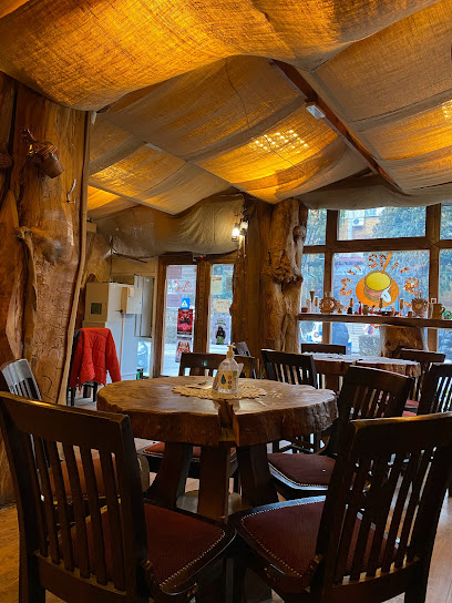
Barock
14.1 km
Experience the vibrant nightlife of Petroșani at Barock, where great drinks and a warm atmosphere await every visitor.
Yoyo's Irish Pub
14.2 km
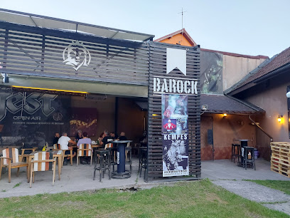
Experience the vibrant atmosphere and warm hospitality at Yoyo's Irish Pub in Petroșani, where every visit feels like a celebration.
Exodus Pub
14.3 km
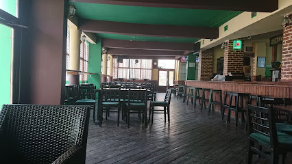
Experience the local charm at Exodus Pub in Petroșani, a cozy pub offering a wide selection of drinks and a vibrant atmosphere.
Rody Alpin Bar
14.4 km
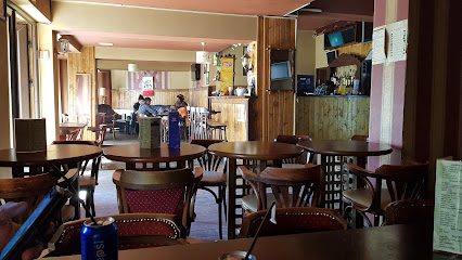
Discover the charm of Rody Alpin Bar in Petroșani, where local flavors and a cozy atmosphere await every traveler.
Casa Ski Rânca
14.5 km
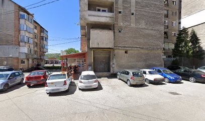
Experience the authentic flavors of Romania at Casa Ski Rânca, nestled in the breathtaking Carpathian Mountains, perfect for tourists and adventurers alike.
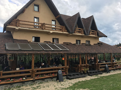
Casa Florile Albe
14.9 km
Discover the enchanting Casa Florile Albe, where comfort meets nature in the stunning Rânca mountains, perfect for relaxation and adventure.
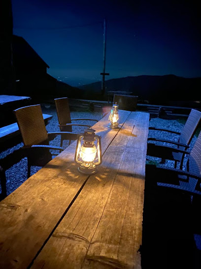
La Motoare PUB
15.1 km
Experience the vibrant atmosphere and local flavors at La Motoare PUB in Petrila, where every drink tells a story.
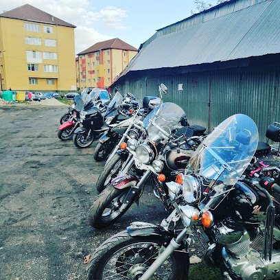
Nightclubs & after hour spots
ROokFest TRANSALPINA
14.8 km
Unleash your inner rock star at ROokFest TRANSALPINA, Rânca's ultimate destination for live music and electrifying performances.
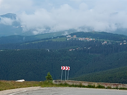
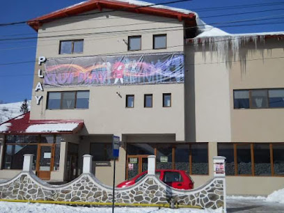
Club Play
15.4 km
Discover the pulsating nightlife at Club Play in Petrila, a vibrant night club offering unforgettable music and dancing experiences.
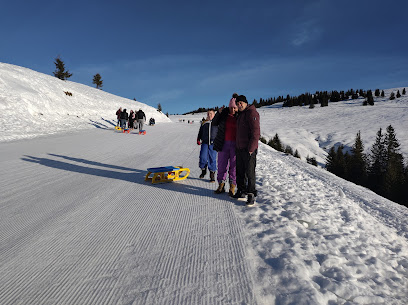
Pârtie de săniuțe
15.6 km
Experience the thrill of snow tubing at Pârtie de săniuțe in Rânca, a playground for winter fun amidst stunning mountain views.
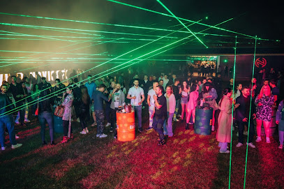
Robu Garage
18.6 km
Experience the exhilarating nightlife at Robu Garage, Vulcan's premier night club, where music, dance, and fun come together for unforgettable nights.

Hanul lui Costreie
22.2 km
Discover the electrifying nightlife at Hanul lui Costreie, the top night club in Cărpiniș, Romania, where great music and fun await.

WILD NOVICOFF EVENTS
23.4 km
Discover electrifying nightlife at Wild Novicoff Events in Hirișești, where great music, beautiful gardens, and delightful cocktails await you.
Unions Club Lupeni
23.7 km
Experience the vibrant nightlife at Unions Club Lupeni, where music, dancing, and unforgettable memories await in the heart of Romania.
STUDENT MĂNĂ BUNĂ
31.3 km
Discover the vibrant nightlife at STUDENT MĂNĂ BUNĂ, a premier night club in Bengești, Romania, where fun and excitement await every visitor.
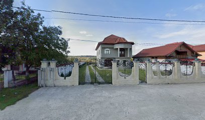
La Olaru
31.9 km
Discover the electric nightlife of La Olaru in Uricani, Romania, where unforgettable experiences and vibrant music await every night.

KO Club
35.9 km
Experience the vibrant nightlife of KO Club in Pui, where music, dance, and local culture come together for an unforgettable evening.
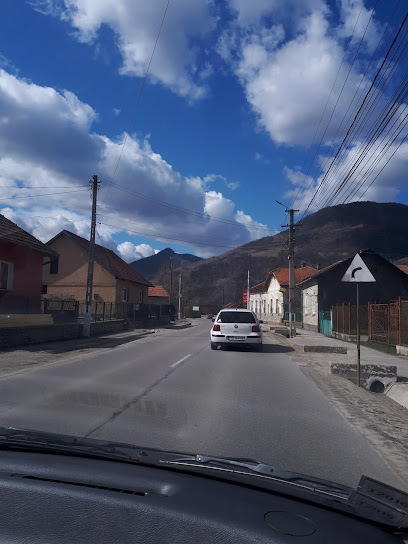
Pogany
38.4 km
Dive into the pulsating nightlife at Pogany, Târgu Jiu's top disco club known for its vibrant atmosphere and unforgettable music.
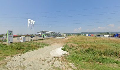
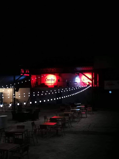
Caractere Summer Club
39.4 km
Discover the electric atmosphere of Caractere Summer Club, Târgu Jiu's premier nightlife destination for unforgettable evenings filled with music, dance, and fun.
Anna Summer Events
40.2 km
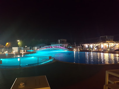
Enjoy summer bliss at Anna Summer Events, Târgu Jiu's top public swimming pool, where relaxation meets fun for the whole family.
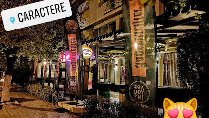
Caractere
40.3 km
Experience the heart of Târgu Jiu at Caractere, where cozy ambiance meets delicious coffee and local culture.
Towers stage
41.9 km
Discover the vibrant nightlife of Târgu Jiu at Towers Stage, where music, dance, and unforgettable experiences await.
