Hadrian’s Wall Path at Wallsend
Walk the historic 84-mile Hadrian’s Wall Path from Wallsend, tracing the Roman frontier through urban and rural England.
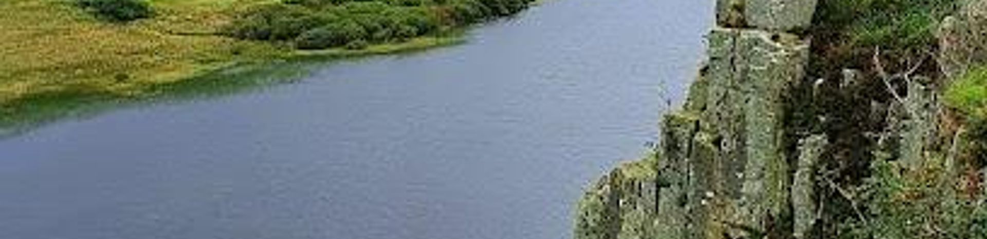
Hadrian’s Wall Path is an 84-mile (135 km) National Trail running from Wallsend on England’s east coast to Bowness-on-Solway on the west. Starting at Wallsend, the path traces the remnants of the Roman frontier wall built nearly 2,000 years ago, offering a unique blend of urban history and rural landscapes. The eastern section begins in the urban setting of Wallsend and Newcastle before moving into open countryside, showcasing Roman forts and scenic views along the way.
A brief summary to Hadrian’s Wall Path
- Wallsend, GB
- Duration: 6 to 9 hours
- Mid ranged
-
 Outdoor
- Mobile reception: 4 out of 5
Local tips
- Start your journey at the Segedunum Roman Fort and Museum in Wallsend for a comprehensive introduction to the wall’s history.
- Carry walking poles to ease knee strain on the steeper, hilly sections between Sewingshields Crags and Greenhead.
- Plan your accommodation in advance, especially in the more remote middle sections where options are limited.
- Use public transport like the Newcastle Metro to reach Wallsend and local buses along the route during walking season.
- Allow 6 to 9 days to complete the full 84-mile trail, adjusting daily mileage to your fitness and interests.
For the on-the-go comforts that matter to you
- Restrooms
- Drink Options
- Food Options
- Seating Areas
- Information Boards
- Visitor Center
Getting There
-
Public Transport
Take the Tyne and Wear Metro from Newcastle city centre to Wallsend station, with journeys typically lasting 20-30 minutes. The Metro runs frequently throughout the day, with tickets costing around £3-£5. Wallsend station is within walking distance of the Segedunum Roman Fort and the start of the trail.
-
Train and Bus Combination
Travel by train to Newcastle Central Station from major UK cities, then transfer to the Metro to Wallsend. Alternatively, regional buses connect Newcastle to Wallsend with services running every 30-60 minutes. Total travel time from central Newcastle is approximately 30-45 minutes. Bus fares range from £2 to £4.
-
Car
Driving to Wallsend is possible via the A1058 and A187 roads. Parking is available near the Segedunum Roman Fort, but spaces can be limited during peak seasons. Expect travel times of 15-30 minutes from central Newcastle. Note that some areas may have parking restrictions and charges apply.
Hadrian’s Wall Path location weather suitability
-
 Any Weather
-
 Rain / Wet Weather
-
 Clear Skies
-
 Mild Temperatures
-
 Windy Conditions
Discover more about Hadrian’s Wall Path
Origins and Historical Significance of Hadrian’s Wall
Hadrian’s Wall was constructed beginning in AD 122 under Roman Emperor Hadrian as a defensive fortification marking the northern boundary of the Roman Empire in Britain. Stretching originally about 73 miles, the wall included milecastles, forts, and watchtowers, serving both military and administrative purposes. Today, the Hadrian’s Wall Path follows this ancient frontier for 84 miles, from Wallsend on the North Sea coast to Bowness-on-Solway on the Irish Sea, preserving the legacy of Roman Britain and its frontier life.The Eastern Gateway: Wallsend and Urban Beginnings
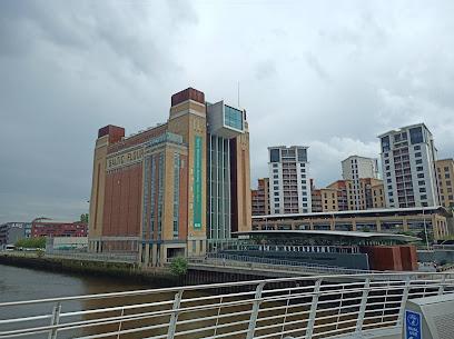
Wallsend marks the eastern start of the trail and is home to the Segedunum Roman Fort and Museum, which provides rich context about the wall’s history and Roman presence in the region. Unlike much of the path, this section passes through urban areas including Newcastle upon Tyne, allowing walkers to experience a blend of city life and historical exploration. The route follows the River Tyne’s banks before transitioning into more rural surroundings near Heddon-on-the-Wall.Scenic and Archaeological Highlights Along the Path
As the trail progresses westward, it moves through varied landscapes—from farmland and rolling hills to moorland and crags. Key archaeological sites such as Chesters Roman Fort and Housesteads Roman Fort offer well-preserved ruins and visitor facilities. The section between Chollerford and Walton is noted for being the highest and wildest part of the path, where the wall is most visible and dramatic views abound.Walking Experience and Trail Conditions
The Hadrian’s Wall Path is well signposted and generally accessible, with terrain ranging from urban promenades to rural footpaths. The trail is considered easy to moderate in difficulty, suitable for families and walkers of varied abilities. While some sections are remote with limited services, accommodation and food options are more plentiful near the trailheads and larger villages. Walking poles are recommended for steeper sections, especially around the crags.Visitor Engagement and Cultural Context
The path offers a rich cultural heritage experience, combining physical activity with history and archaeology. The Segedunum Museum at Wallsend serves as an excellent introduction, while other forts and museums along the way deepen understanding of Roman military life. The trail is part of the Frontiers of the Roman Empire World Heritage Site, emphasizing its global historical importance.Seasonality and Practical Considerations
The trail is best enjoyed from spring through autumn when weather conditions are milder and services are more available. Public transport links to Wallsend and along the route make access convenient, though some planning is needed for accommodation in less populated areas. The path can be completed in 6 to 9 days, with flexible itineraries available to suit different paces and interests.Iconic landmarks you can’t miss
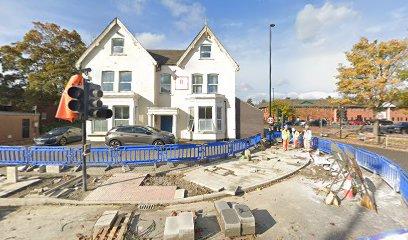
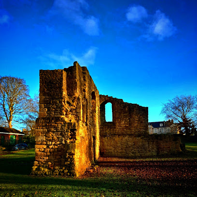
Salisbury House
0.4 km
Historic Salisbury House in Wallsend stands on ancient Roman fort grounds, bridging centuries of military and industrial heritage.
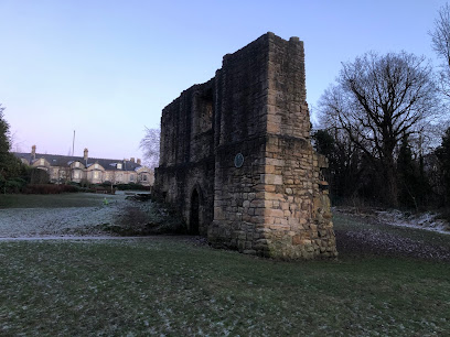
King John's Palace
3.2 km
Explore the fortified ruins of a 13th-century manor house in Newcastle’s Heaton Park, steeped in medieval history and royal intrigue.
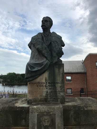
William Coulson Monument
3.9 km
A historic bronze tribute to William Coulson, Newcastle’s pioneering humanitarian and animal welfare advocate, with unique drinking troughs for animals.
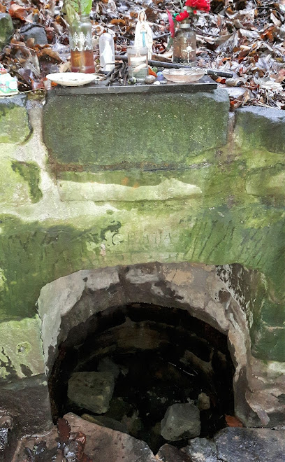
Saint Mary's Well
4.2 km
Discover Saint Mary's Well, a serene historic pilgrimage site in Jesmond, Newcastle, famed for its healing waters and medieval sacred legacy.
Little Buildings
4.2 km
An intimate live music venue in Newcastle’s Ouseburn Valley, perfect for discovering new bands and enjoying craft beers in a laid-back, buzzing atmosphere.
Jess moore memorial wall 23/6/17 - 7/11/19
4.2 km
Explore the Jess Moore Memorial Wall in Newcastle upon Tyne, a heartfelt tribute to love and community resilience that reflects the spirit of the local culture.
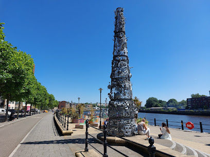
Blacksmiths Needle
4.4 km
A captivating 7.6m steel sculpture on Newcastle Quayside, blending maritime themes with the five senses and a mysterious sixth sense.
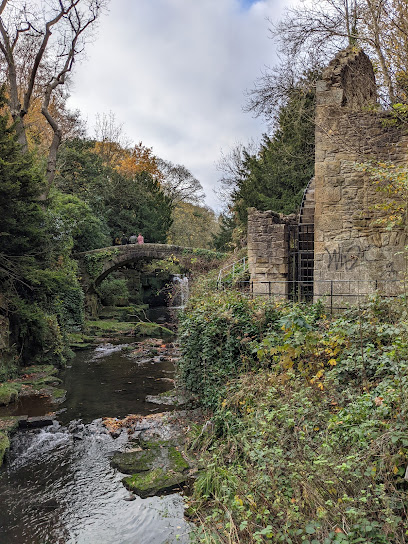
Jesmond Dene Mill
4.4 km
Historic Jesmond Dene Mill ruins nestled beside a scenic waterfall in Newcastle’s tranquil Victorian woodland park.
River God
4.6 km
An iconic statue on Newcastle’s Quayside embodying the city’s deep connection to the River Tyne and its maritime heritage.
Mermaid
4.6 km
Discover the Mermaid, a historic symbol of Newcastle’s maritime heritage, set amidst the vibrant and scenic Quayside waterfront.
The Custom House Plaque
4.9 km
A historic marker on Newcastle’s Quayside commemorating the 1766 Custom House and the city’s maritime trade heritage.
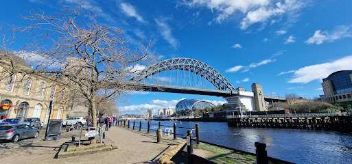
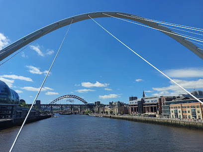
Quayside
5.0 km
Quayside is a dynamic riverside district where iconic bridges meet vibrant culture, blending industrial heritage with modern art and lively waterfront life.
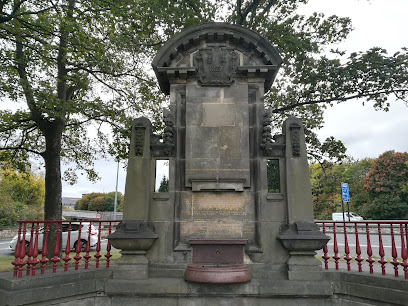
W.D.Stephens Memorial
5.0 km
Historic memorial fountain honoring Newcastle’s civic leader W.D. Stephens, symbolizing philanthropy and maritime heritage in Jesmond.
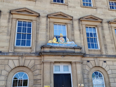
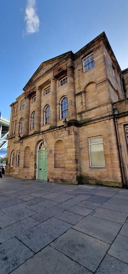
The Guildhall
5.1 km
Discover Newcastle’s historic Guildhall, a stunning 17th-century civic landmark rich in architecture and medieval heritage.
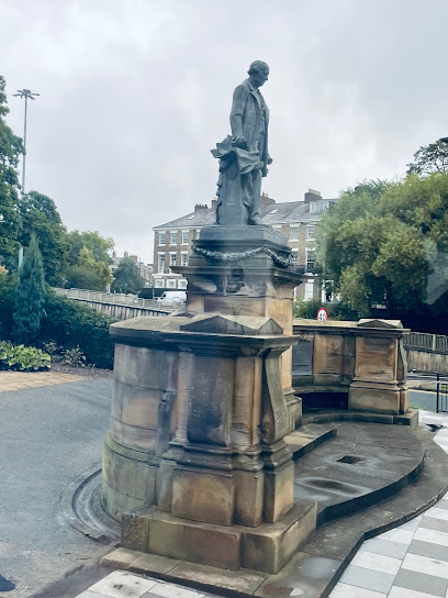
Lord Armstrong Memorial
5.1 km
A striking bronze tribute at Barras Bridge honoring Lord Armstrong’s pioneering engineering and lasting legacy in Newcastle’s industrial history.
Unmissable attractions to see
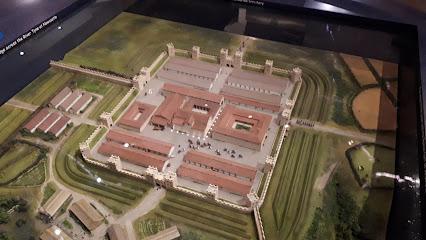
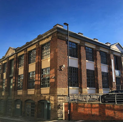
Segedunum Roman Fort & Museum
0.4 km
Explore Segedunum, the eastern gateway to Hadrian's Wall, with interactive exhibits, ancient ruins, and panoramic views over Tyneside.
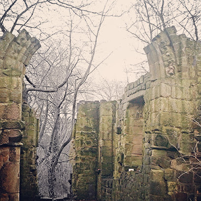
Adam of Jesmond's House
3.2 km
Explore the evocative medieval ruins of Adam of Jesmond's House, a 13th-century fortified manor nestled in Newcastle's Heaton Park.
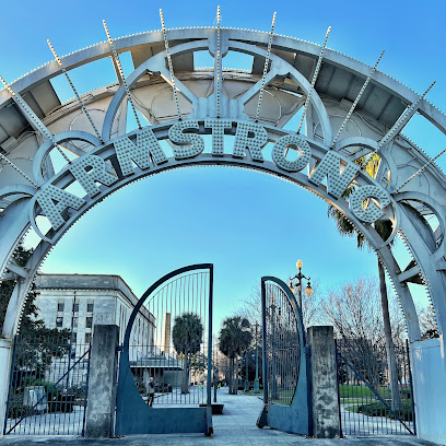
Armstrong Park
3.2 km
Historic woodland park in Newcastle with sports facilities, scenic walks, and Victorian-era charm for all ages.
Jesmond Dene
3.7 km
A wild, romantic woodland valley in Newcastle, with waterfalls, historic ruins, and a charming petting zoo – a peaceful escape just minutes from the city centre.
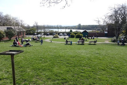
The Rising Sun Countryside Centre
3.8 km
A 162-hectare green haven in North Tyneside offering woodlands, wildlife, trails, a community farm, and family-friendly countryside experiences.
Ouseburn Farm Charity Ltd
3.8 km
A vibrant urban farm and charity in Newcastle offering free access to animals, gardens, and sustainable community experiences.
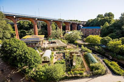
Victoria Tunnel Tours
3.9 km
Walk through wartime darkness in Newcastle's hidden underground—a Victorian coal tunnel transformed into WWII shelter.
Seven Stories
3.9 km
Discover the magic of children's books at Seven Stories, Newcastle’s vibrant national centre for storytelling, exhibitions, and family fun.
St Mary's Chapel
4.1 km
Discover the ancient ruins of St Mary's Chapel, a medieval pilgrimage site with a sacred healing well nestled in tranquil Jesmond Dene.
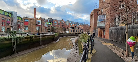
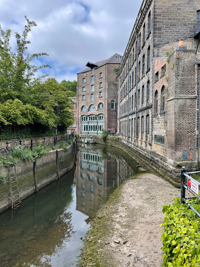
The Biscuit Factory
4.2 km
Discover Newcastle’s largest independent contemporary art gallery set in a historic warehouse, blending creativity, culture, and community.
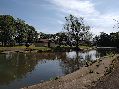
Paddy Freeman's Park
4.3 km
A peaceful urban retreat in Newcastle with scenic trails, a boating lake, sports facilities, and a welcoming café for all ages.
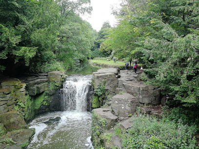
Jesmond Dene Falls
4.5 km
Discover the serene beauty and historic charm of Jesmond Dene Falls, a tranquil woodland oasis in the heart of Newcastle.
Baltic Centre for Contemporary Art
4.5 km
A striking riverside hub for cutting-edge contemporary art in a converted flour mill with panoramic Tyne views.
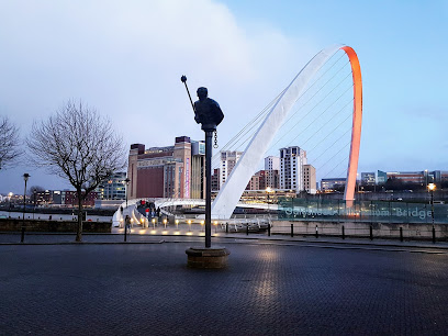
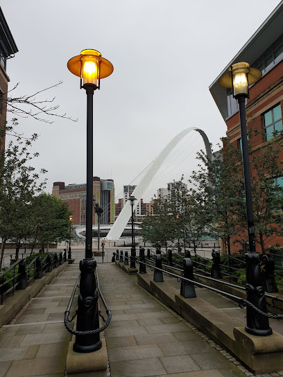
Gateshead Millennium Bridge
4.5 km
A graceful tilting bridge spanning the Tyne, linking culture and city with iconic elegance and stunning river views.
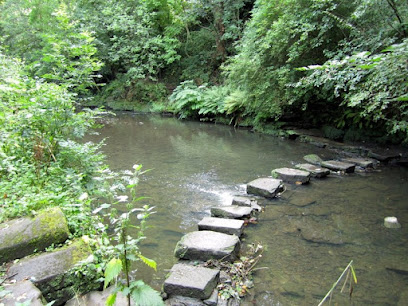
Ouse burn stepping stones
4.6 km
Historic stepping stones crossing a tranquil woodland stream in Jesmond Vale, blending natural beauty with Newcastle’s rich heritage.
Essential places to dine
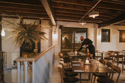
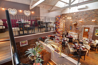
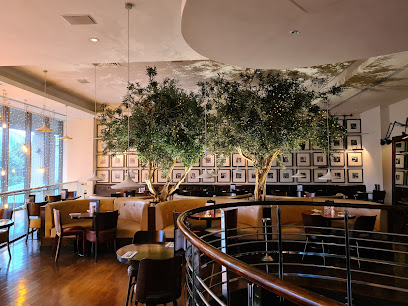
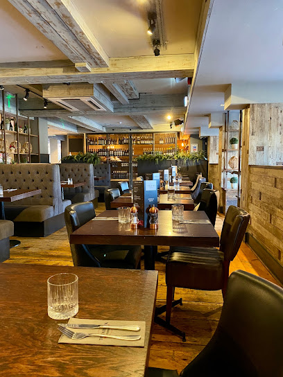
Cook House
3.8 km
Discover the flavors of Newcastle at Cook House - where fresh ingredients meet creative cuisine in a warm atmosphere.
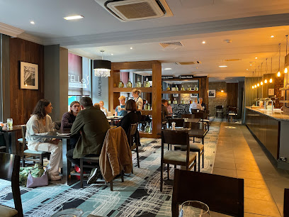
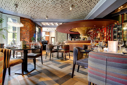
Peace & Loaf restaurant
3.9 km
Experience innovative modern British cuisine with creative tasting menus in a stylish, welcoming Jesmond setting.
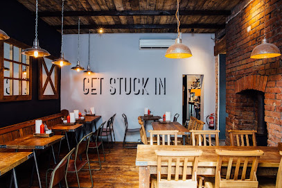
Fratello's
4.4 km
Authentic Italian dining with warm hospitality and stonebaked pizzas in the heart of Jesmond, Newcastle upon Tyne.
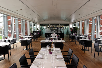
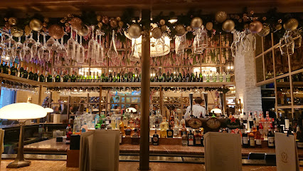
SIX Rooftop at BALTIC
4.5 km
Elegant rooftop dining atop the BALTIC Centre with stunning views, seasonal British cuisine, and a stylish bar in Gateshead’s cultural heart.
Jam Jar
4.5 km
Savor Anglo-American comfort food in a sleek, industrial-chic setting with craft drinks and lively vibes in Jesmond’s heart.
Gusto Italian
4.5 km
Experience authentic Italian flavors with a modern twist on Newcastle’s scenic Quayside at Gusto Italian.
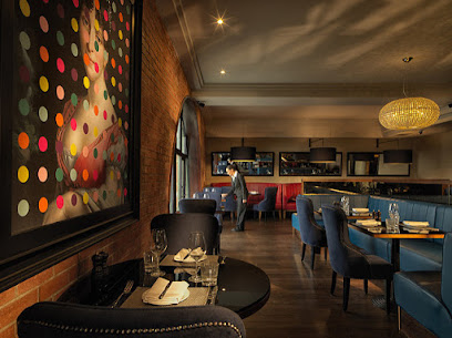
Victors Newcastle
4.5 km
Modern Asian-inspired dining with vibrant atmosphere and stunning Quayside views in the heart of Newcastle.
Sohe Restaurant
4.5 km
Sophisticated pan-Asian dining in Jesmond, Newcastle – where bold flavours meet modern style and attentive service.
Malmaison Bar & Grill Newcastle
4.6 km
Chic riverside dining and boutique luxury on Newcastle’s vibrant Quayside with stunning views of the River Tyne and Millennium Bridge.
As You Like It
4.6 km
Eclectic dining and creative cocktails in Jesmond’s stylish hotspot, perfect for family meals and lively late nights.
Florence Jesmond
4.6 km
Authentic Italian flavors and warm hospitality await you at Florence Jesmond, the heart of Jesmond’s vibrant dining scene.
Dosa Kitchen
4.6 km
Experience authentic South Indian cuisine with vibrant dosas and flavorful curries in Jesmond’s welcoming Dosa Kitchen.
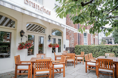
Branches Restaurant
4.6 km
Elegant British dining in Jesmond with seasonal menus, handcrafted cocktails, and a unique blossom tree ambience.
Tomahawk Steakhouse - Newcastle
4.7 km
Premium steakhouse on Newcastle’s Quayside offering expertly cooked tomahawk steaks and a vibrant riverside dining experience.
Fat Hippo Jesmond
4.7 km
Original Fat Hippo in Jesmond serves bold, messy burgers and dirty fries in a lively, inclusive atmosphere with vegan and gluten-free options.
Markets, malls and hidden boutiques
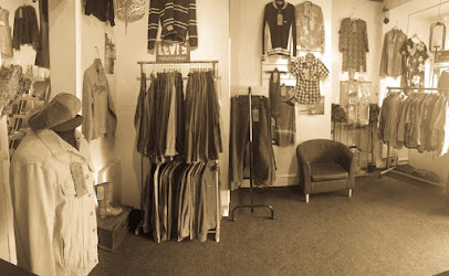
The Curiosity Box
2.7 km
Discover unique vintage fashion treasures and timeless style at The Curiosity Box in Newcastle’s vibrant Chillingham Road district.
What About This
3.4 km
Explore Byker's vibrant ladies' clothing shop, 'What About This', where unique styles and local charm meet in Newcastle upon Tyne.

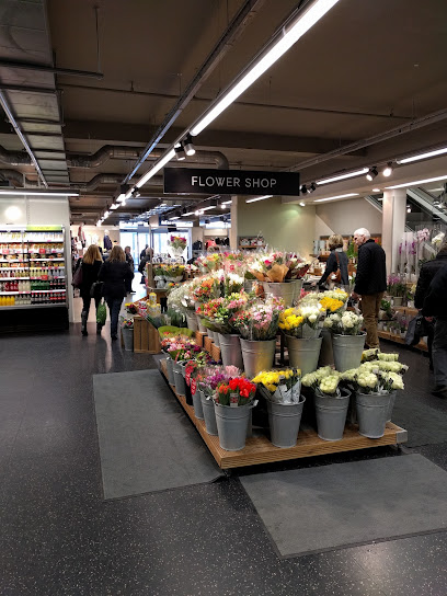
Marks and Spencer
3.9 km
A modern, versatile Marks and Spencer store offering quality fashion, food, and homeware in Wallsend’s Silverlink Shopping Park.
Flea Circus
4.0 km
Discover Newcastle’s vibrant vintage hub blending retro style, handmade crafts, and unique collectibles all under one roof.
Bibelot Nook
4.0 km
Discover timeless vintage furniture and unique homewares at Bibelot Nook, Newcastle’s hub for sustainable style and local artistry.
Antiquites Francaises
4.3 km
Discover restored French antiques in Jesmond: elegant 19th-century furniture sourced and polished since 1997 for your timeless home.
Fern Avenue Antiques Centre
4.3 km
Uncover hidden gems and timeless tales in Jesmond's premier family-run antiques haven, where every aisle brims with history and surprise.
37 Studios
4.4 km
Stylish accessories by the Tyne: Discover unique jewelry and bags at this Quayside boutique in Newcastle's creative heart.

Barbour Factory Outlet
4.5 km
Discover authentic British heritage and timeless outdoor style at the Barbour Factory Outlet in South Shields, home of iconic waxed jackets and quality craftsmanship.
Zen Wardrobe
4.5 km
Discover serene style at Zen Wardrobe, Jesmond's haven for minimalist women's fashion on lively Osborne Road.

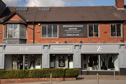
Jules B Ladieswear
4.5 km
A curated Jesmond boutique for designer womenswear with attentive personal service and seasonal collections in a relaxed, stylish setting.
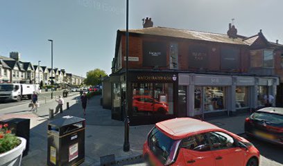
Watchtraderuk Limited
4.5 km
Shop unique fashion accessories at Watchtraderuk Limited in Jesmond, Newcastle upon Tyne, where style meets local charm.
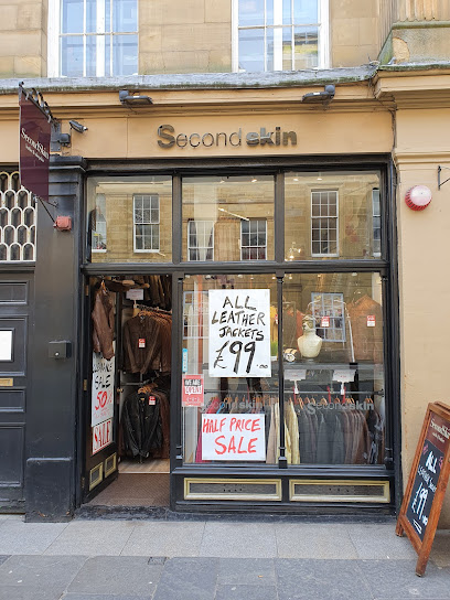
Second Skin
4.6 km
Luxurious leather and sheepskin coats that fit like a second skin, in the heart of Jesmond's stylish enclave.
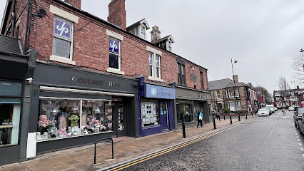
Gourmet Gifts
4.6 km
Discover unique gourmet treats and expert gift wrapping supplies in the cozy charm of Jesmond’s Gourmet Gifts shop.
St Oswald's Hospice Charity Shop - Jesmond
4.7 km
Discover designer bargains and unique treasures at Jesmond's Boutique by St Oswald's Hospice, where every purchase powers compassionate care in the North East.

Essential bars & hidden hideouts
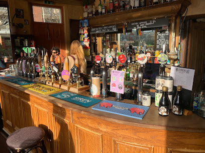
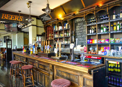
Free Trade Inn
3.8 km
A historic riverside pub in Newcastle offering craft beers, stunning Tyne views, and a warm, lively atmosphere all day long.
The Tyne Bar
3.8 km
A vibrant hub for craft beer, live music, and community spirit nestled in Newcastle’s creative Ouseburn Valley.
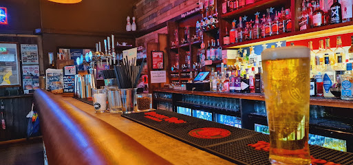
Billy Bootleggers
4.0 km
Step into Billy Bootleggers for authentic Americana vibes, live rockabilly tunes, and legendary bourbon brews in Newcastle’s lively Ouseburn district.
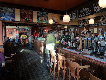
The Punch Bowl
4.0 km
Jesmond's wood-paneled gem: quirky wines, world tapas, epic roasts, and a lively vibe in a classic pub setting.
Pitcher & Piano Newcastle
4.5 km
A multi-level Quayside bar with panoramic Tyne views, long cocktails and a lively weekend vibe for groups and riverfront people-watching.
Spy
4.5 km
Catch the action at Spy Bar Jesmond—big screens, juicy burgers, premium pints, and unbeatable sports vibes on lively Osborne Road.
Phoenix Bar Jesmond
4.5 km
Refurbished Jesmond gem with grilled British fare, creative cocktails, sports screens, pool tables, and a heated outdoor forecourt—perfect for casual hangs or lively nights.
97 & Social
4.5 km
Lively Jesmond gastro bar with innovative cocktails, comfort food, and fireside charm on buzzing Osborne Road – perfect for brunches, dates, or casual nights out.
Bar Blanc
4.5 km
Jesmond's go-to bar for cheap pints, pub grub, sports screens, and happy hours in a lively Osborne Road setting.
Soho Jesmond
4.6 km
Jesmond's sprawling modern bar hub: live sports, cheap student drinks, quizzes, buskers, and outdoor sheisha vibes draw lively crowds to this Osborne Road powerhouse.
Holy Hobo
4.6 km
Jesmond's bold bar for monster burgers, craft pours, bottomless brunches, and beats till 2am—where quirky comfort meets non-stop nightlife energy.
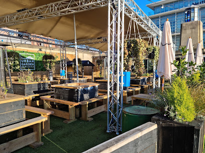
Urban Garden Newcastle
4.7 km
A relaxed container-style beer garden on Newcastle’s Quayside—festoon lights, craft taps and riverside atmosphere for groups and sunset drinks.
The Collingwood Arms under new management
4.8 km
A traditional Jesmond pub with long bar, local prints, lively evenings and a straightforward menu that suits regulars and visitors alike.
The Head of Steam Quayside
4.8 km
Riverside pub haven pouring world-class craft beers, vegan feasts, and games beside Newcastle's Tyne Bridge and cultural gems.

Alvinos Bar
5.1 km
A lively Italian-owned bar in Newcastle with creative cocktails, craft brews, live DJs, and a welcoming multi-floor setting on Pilgrim Street.
Nightclubs & after hour spots
World HQ
5.0 km
A multi‑level warehouse club and arts hub in Curtis Mayfield House with a heavy sound, creative studios above and a grassroots nightlife spirit.

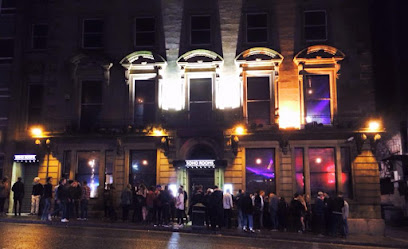
SOHO ROOMS | Newcastle
5.2 km
Four floors of late‑night music and cocktails in the heart of Newcastle’s city‑centre party district, favoured by students and night owls.
Greys Club
5.2 km
Experience Newcastle’s iconic nightlife at Greys Club, where vibrant music, a stylish terrace, and lively crowds create unforgettable late-night memories.

Flares - Newcastle
5.2 km
Newcastle's ultimate retro disco den: neon grooves, cheesy anthems, and non-stop dancing from 70s to 00s in the heart of the nightlife scene.
Tup Tup Palace
5.3 km
Experience Newcastle’s vibrant nightlife in style at Tup Tup Palace, a luxurious club blending exotic décor with pulsating beats until the early hours.

TheCUT Newcastle
5.3 km
Discover Newcastle’s vibrant alternative nightclub with themed indie, rock, and disco nights in a cozy, unpretentious setting.
TROPICANA NEWCASTLE
5.3 km
Experience Newcastle’s vibrant nightlife at Tropicana, a lively nightclub blending cocktail sophistication with energetic club beats in the city’s heart.

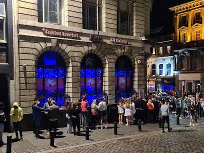
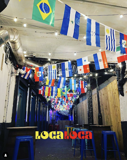
Loca Loca | Newcastle
5.3 km
A compact, neon-lit nightclub on Groat Market serving late-night dance, chart and urban sets in an intimate city-centre setting.
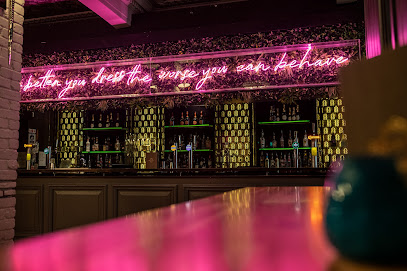
Bohemia Newcastle
5.3 km
Neon-lit cocktail bar and compact club with graffiti murals, a mezzanine dance space and a sheltered courtyard terrace for late-night socialising.
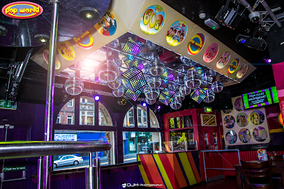
Popworld - Newcastle
5.4 km
A neon-soaked pop party on Newcastle’s Bigg Market—cheap drinks, nostalgic anthems and a packed dancefloor for late-night revelry.
The Social Club
5.4 km
Experience Newcastle’s vibrant nightlife at The Social Club, where music, cocktails, and dancing come alive until the early hours.
Sinners
5.5 km
Dive into sinfully themed nights at this affordable Newcastle nightclub, where red lights, bold art, and cheap drinks fuel the city's unbeatable party spirit.

Cosmic Ballroom
5.7 km
Newcastle's longest-running underground club: two floors of electronic beats, guest DJs, and non-stop dancing till dawn in an intimate Stowell Street hideaway.

Digital
5.9 km
Experience cutting-edge nightlife with superior sound and vibrant energy at Digital, Newcastle’s premier clubbing destination in Times Square.

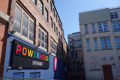
Powerhouse
6.0 km
Newcastle’s iconic four-floor nightclub blending rich LGBTQ+ history with vibrant, inclusive nightlife and dynamic music scenes.
For the vibe & atmosphere seeker
- Scenic
- Historic
- Relaxing
- Tranquil
For the architecture buff
- Historic
- Heritage Neighborhoods
- Parks & Gardens
For the view chaser and sunset hunter
- Iconic Views
- Panoramas
- Sunrise Spots
- Sunset Spots
For the social media creator & influencer
- Instagrammable
- Photo Spots
- Selfie Spots
- Architectural Shots
For the eco-conscious traveler
- Public-Transport Accessible
- Low Impact
- Leave-No-Trace Critical
- Locally Managed
- Protected Area
- Nature Reserve
For the kind of experience you’re after
- Cultural Heritage
- Photowalk
- Nature Escape
- Day Trip
- Weekend Getaway
- Myth & Legends
For how adventurous you want the journey to be
- Easy Access
Location Audience
- Family Friendly
- Senior Friendly
- Child Friendly
- Teen Friendly
- Wheelchair Access
- Pet Friendly
- Couple Friendly
- Solo Friendly
- Vegetarian Friendly
- Vegan Friendly


