

Free Green River Basin Travel Guide & Mobile App
Explore Green River Basin with free travel guides. Discover regional history, expert tips, proposed trips, and audio guides on web or mobile app.


Explore Wyoming’s Green River Basin for desert landscapes, fossil geology, wildlife refuges, railroad history and wide-open high-country drives.
Read more about Green River Basin
Getting to and around Green River Basin
How to get there
Transportation
Top city travel guides in Green River Basin
The cities of Green River Basin, and the easiest places to base yourself.
-

-

-
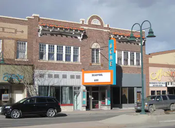


Swipe for more cities
Destinations in Green River Basin
Resorts, valleys and scenic spots worth a trip of their own.
-
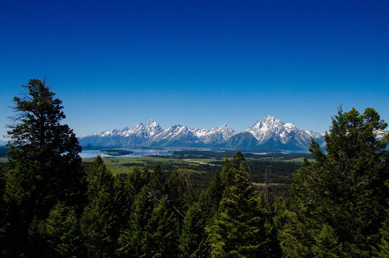 Grand Teton National Park
, Wyoming, pairs jagged peaks, alpine lakes, wildlife-rich valleys, scenic drives and western heritage near Jackson.
-
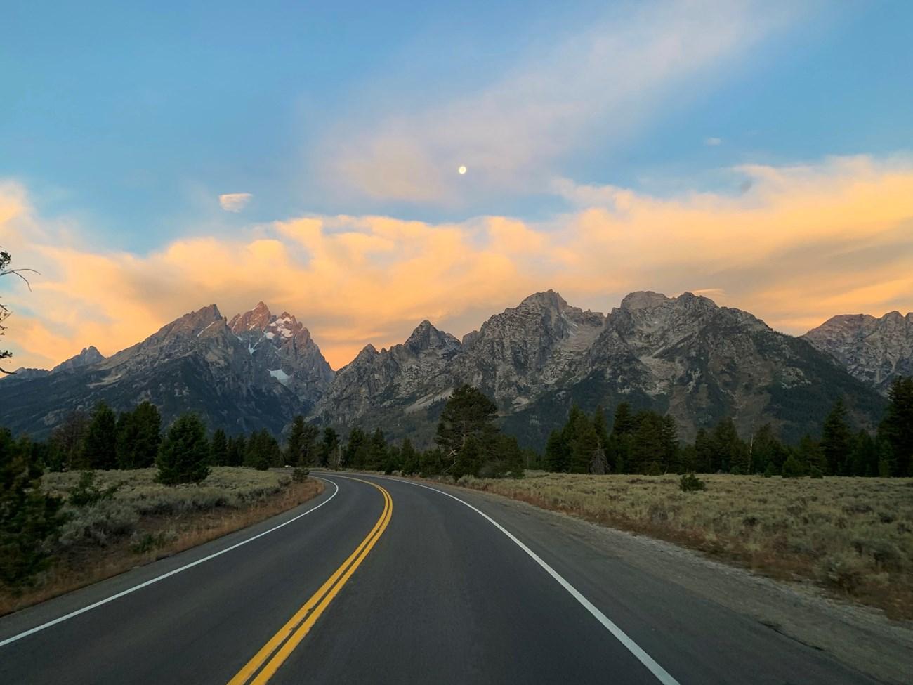 Bridger-Teton National Forest
Discover the majesty of Bridger-Teton National Forest, where vast wilderness, diverse wildlife, and outdoor adventures await in the heart of Wyoming.
-

-

-

-


Swipe for more destinations
Best attractions in Green River Basin
Attractions in the Green River Basin are shaped by geology, open space and working history rather than by a dense chain of conventional tourist sites. Green River provides access to the river corridor, Pilot Butte and landscapes associated with the Green River Formation, whose ancient lake beds are internationally important for fossil preservation. Rock Springs offers museums and heritage sites that explain coal mining, immigration, railroads and the development of a multicultural resource town. North-east of Rock Springs, the Killpecker Sand Dunes create an extensive field of shifting sand among sagebrush and desert woodland, while White Mountain and surrounding public lands offer broad views, unusual rock formations and opportunities for hiking, photography and off-road recreation where permitted. Seedskadee National Wildlife Refuge follows the Green River through wetlands, cottonwoods and irrigation-influenced habitat, providing birdwatching and quiet walking opportunities. Farther north and east, ranch country, reservoirs and mountain approaches broaden the region’s outdoor appeal, although facilities become sparse. Fossil collecting and access to geological sites must follow land-management rules, which vary between public, private and protected areas.
-
Ski resort
Jackson Hole Aerial Tram and Gondola Rides
Experience breathtaking views and adventure at Jackson Hole Aerial Tram and Gondola Rides, a must-visit tourist attraction in Teton Village, Wyoming.
-
Island
Expedition Island
Explore the tranquil beauty of Expedition Island in Green River, Wyoming, a perfect getaway for nature lovers and outdoor enthusiasts alike.

Best landmarks in Green River Basin
Pilot Butte, rising above Green River, is one of the basin’s most recognisable natural landmarks and has long served as a navigational feature beside the river and historic travel routes. The Green River itself is the region’s defining geographical line, appearing as a green, wooded corridor through otherwise dry country and supporting settlements, irrigation and wildlife habitat. The Killpecker Sand Dunes form a striking landmark of pale, mobile sand set against Wyoming’s sagebrush steppe, while White Mountain near Rock Springs presents layered cliffs, eroded slopes and expansive views across the basin. In the towns, railroad and mining infrastructure provides a different kind of landmark: Green River’s historic civic and commercial areas reflect its transport role, while Rock Springs contains buildings and memorials associated with immigrant labour and coal mining. Geological exposures of the Green River Formation are significant not for monumental architecture but for the evidence they preserve of ancient lakes and ecosystems. Together, these places express the basin’s central contrasts between river and desert, natural history and industrial development, and immense open space and concentrated town life.
-
National reserve
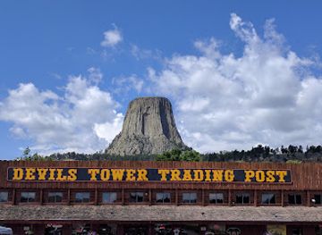
Devils Tower National Monument
Explore the iconic Devils Tower National Monument, a blend of natural beauty and rich cultural heritage in Wyoming's breathtaking landscapes.
-
Tourist attraction
Grand Prismatic Spring
Experience the stunning colors and geothermal wonders of Grand Prismatic Spring in Yellowstone National Park, a must-visit natural attraction.
-
Historical place museum
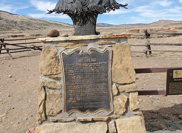
Old Trail Town
Explore Old Trail Town and step back in time to experience the authentic history of the Old West in Cody, Wyoming.
-
Tourist attraction
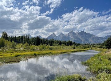
Schwabacher Landing
Experience the breathtaking beauty and tranquility of Schwabacher Landing in Grand Teton National Park, a must-visit for nature lovers and photographers.

Explore Green River Basin on the map
Plan your trip on one map. See where the top cities, national parks and sights are, and book hotels and experiences in a few clicks.
Best hotels in Green River Basin
Best restaurants in Green River Basin
Dining in the Green River Basin reflects the practical food culture of a rail, ranching and energy region. Green River and Rock Springs contain the widest selection of restaurants, including American diners, family-run cafés, Mexican and Asian cuisines, steakhouses, bakeries and casual places serving travellers along Interstate 80. Beef, burgers, chilli, sandwiches and substantial breakfasts are common, while locally sourced meat and produce may appear seasonally rather than as a formal regional cuisine. In smaller communities, modest cafés, bars and convenience stores can be important food stops, but opening patterns may be limited outside peak hours. Markets and food businesses in the larger towns are useful for assembling supplies before remote excursions. Visitors should not expect a concentrated fine-dining scene across the basin; the appeal lies more in straightforward meals, generous portions and the social role of cafés and local gathering places. Wyoming’s broader ranching and western food traditions are strongly present, but should not be confused with a single dish unique to the Green River Basin.
-
Steak
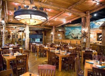
Gun Barrel Steak and Game House
Discover Gun Barrel Steak and Game House: A premier dining experience featuring expertly crafted steaks and game dishes in Jackson, Wyoming.
-
Steak
T-Joe's Steakhouse & Saloon
Discover T-Joe's Steakhouse & Saloon in Cheyenne – where mouthwatering steaks meet rustic charm in an unforgettable dining experience.
-
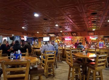
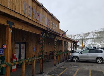
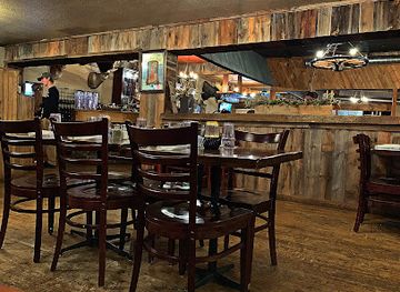
Restaurant
The Hitching Post
Discover delicious comfort food at The Hitching Post in Green River – where local flavors meet warm hospitality in an inviting atmosphere.
-
Restaurant
Buffalo Jump Steakhouse
Experience authentic Wyoming flavors at Buffalo Jump Steakhouse – where premium steaks meet warm hospitality in Beulah.
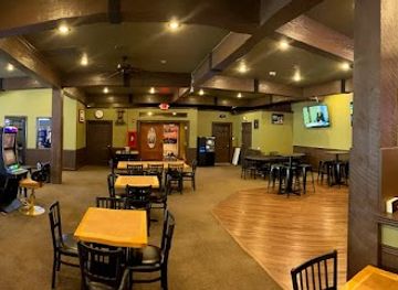
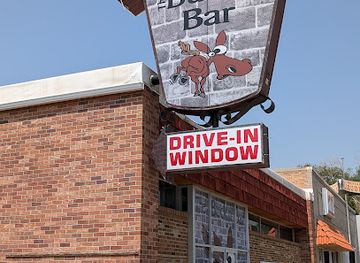
Best bars in Green River Basin
Evening life in the Green River Basin is concentrated in Rock Springs and Green River, where traditional bars, casual restaurants, breweries and occasional live-music settings provide the main options. Rock Springs has the broader choice because of its larger population and long history as a railroad and mining town, while Green River’s nightlife is generally quieter and closely connected to local restaurants, hotels and community events. In smaller settlements, evening entertainment may consist of a bar, café or gathering at a community facility rather than a dedicated nightclub. There is no continuous nightlife district across the basin, and many visitors finish the day outdoors or watching the exceptionally dark sky. Seasonal events, local music and sports can change the atmosphere, so current listings are worth checking locally. Drink-driving is particularly hazardous on long rural roads; arrange a taxi or designated driver rather than assuming that accommodation and venues are within walking distance.
-
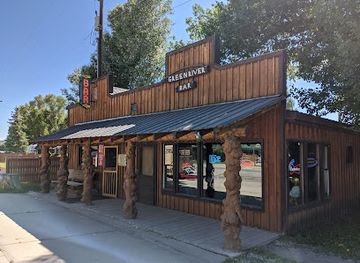
Bar
Green River Bar
Discover the inviting atmosphere of Green River Bar in Wyoming, where great food meets friendly service amidst stunning natural beauty.
-
 Bar
Ponderosa Bar & Lounge
Discover Ponderosa Bar & Lounge - a lively spot in Green River, Wyoming, perfect for drinks, pool, and unforgettable memories.
-
Bar
Town Bar & Grill
Discover the vibrant atmosphere and delicious food at Town Bar & Grill in Green River, Wyoming - a must-visit for travelers seeking local culinary delights.
-
Bar
Buck'n Bar
Experience the lively ambiance of Buck'n Bar in Green River, Wyoming, where cold beers and friendly service create the perfect escape for travelers.
Best nightclubs in Green River Basin
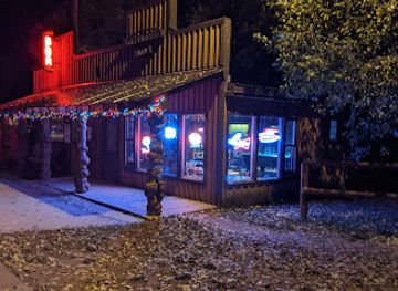
Evening life in the Green River Basin is concentrated in Rock Springs and Green River, where traditional bars, casual restaurants, breweries and occasional live-music settings provide the main options. Rock Springs has the broader choice because of its larger population and long history as a railroad and mining town, while Green River’s nightlife is generally quieter and closely connected to local restaurants, hotels and community events. In smaller settlements, evening entertainment may consist of a bar, café or gathering at a community facility rather than a dedicated nightclub. There is no continuous nightlife district across the basin, and many visitors finish the day outdoors or watching the exceptionally dark sky. Seasonal events, local music and sports can change the atmosphere, so current listings are worth checking locally. Drink-driving is particularly hazardous on long rural roads; arrange a taxi or designated driver rather than assuming that accommodation and venues are within walking distance.
-
Bar
Beacon Club
Unwind at the Beacon Club: A lively bar and club in Mills, Wyoming, perfect for drinks, dancing, and unforgettable nights out.
-
Bar
Green River Bar
Experience the lively ambiance and local flavors at Green River Bar, a hidden gem in Wyoming perfect for relaxation and fun.
-
Bar
Ponderosa Bar & Lounge
Discover the lively Ponderosa Bar & Lounge in Green River, Wyoming, where drinks and fun pool games create unforgettable memories.
-
Grill
The Brewery
Experience the vibrant flavors of The Brewery in Green River, WY, where great food, local brews, and a lively atmosphere await.

Best shops in Green River Basin
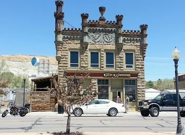
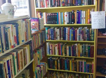
Shopping in the Green River Basin is primarily practical and locally oriented. Rock Springs and Green River have the broadest selection of supermarkets, outdoor suppliers, western wear, general retailers, independent services and shops selling gifts connected with Wyoming’s landscapes and history. Historic commercial areas can be useful for browsing local businesses, although the region is not a major destination for luxury or designer shopping. Visitors may find locally made crafts, books about western history, artwork, Native-inspired products from reputable sellers and food items suitable for a road journey. Farmers’ markets and seasonal community markets, where operating, are the best places to look for regional produce, baked goods and handmade work, but they are not year-round assumptions. Small towns and rural stores may sell practical ranch and outdoor supplies rather than souvenirs. Fossils and mineral specimens should be bought only from legitimate vendors and with clear information about lawful collection and provenance; removing specimens from protected or restricted land is not an acceptable form of shopping.
-
Art gallery
Red White Buffalo
Experience the artistic essence of Green River at Red White Buffalo, a unique gallery and shop showcasing local crafts and baked goods.
-
Auto parts store
NAPA Auto Parts - Auto Parts Unlimited
Discover a vast selection of auto parts, accessories, and expert advice at NAPA Auto Parts - Auto Parts Unlimited in Green River, Wyoming.
-
Thrift store
St John's Thrift Shop
Explore the charm of Green River at St John's Thrift Shop, where every visit reveals unique finds and local treasures.
-
Quilt shop
A Little Country Character
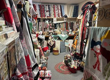
Explore 'A Little Country Character' in Green River, WY – a charming quilt shop offering exquisite fabrics and a welcoming atmosphere for quilting enthusiasts.

Get your free copy of our complete guide to Green River Basin, delivered straight to you.
Everything on this page, from attractions and restaurants to essentials and local phrases, in one PDF you can read offline, print or share.
Already have an account? Sign in
Your Green River Basin guide is ready.
We'll send it to · Not you? Sign out

Getting your guide ready…
We are putting together a fresh copy of the Green River Basin guide. This can take up to a minute.
This can take a few moments. If your browser asks, choose Allow so the download can start. You'll find the guide in your Downloads folder.
Nothing happened? Download it again
Sorry, the guide is taking longer than usual. Please try again in a minute, or get it by email instead.
Green River Basin essentials
Currency and Payment
Safety
Emergency Situations
Do's and Don'ts
Local Tips
From Eve
Local phrases worth knowing
You don't need to get them perfect. A few words go a long way, and locals appreciate the effort.
Basics
| English | Local | Say it |
|---|---|---|
| Hello | Howdy | [haʊdi] |
| Goodbye | See ya | [siː jə] |
| Yes | Yep | [jɛp] |
| No | Nope | [noʊp] |
| Please/You're welcome | Sure thing | [ʃʊr θɪŋ] |
| Thank you | Thanks a lot | [θæŋks ə lɑt] |
| Excuse me/Sorry | Pardon me | [ˈpɑrdən mi] |
| How are you? | How ya doin'? | [haʊ jə ˈduɪn] |
| Fine. And you? | Good. And you? | [ɡʊd. ənd jə] |
| Do you speak English? | You speak English? | [ju spiːk ˈɪŋɡlɪʃ] |
| I don't understand | I ain't got it | [aɪ eɪnt ɡɑt ɪt] |
Eating & Drinking
| English | Local | Say it |
|---|---|---|
| I'd like to see the menu, please | Can I see the menu? | [kæn aɪ si ðə ˈmɛnju] |
| I don't eat meat | I don't eat meat | [aɪ doʊnt it miːt] |
| Cheers! | Cheers! | [ʧɪrz] |
| I would like to pay, please | Can I get the check, please? | [kæn aɪ ɡɛt ðə ʧɛk pliz] |
Emergencies
| English | Local | Say it |
|---|---|---|
| Help! | Help! | [hɛlp] |
| Go away! | Get lost! | [ɡɛt lɔst] |
| Call the Police! | Call the cops! | [kɔl ðə kɑps] |
| Call a doctor! | Need a doc! | [nid ə dɑk] |
| I'm lost | I'm turned around | [aɪm tɜrnd əˈraʊnd] |
| I'm ill | I'm feelin' sick | [aɪm ˈfiːlɪn sɪk] |
Shopping
| English | Local | Say it |
|---|---|---|
| I'd like to buy... | I'm lookin' to buy... | [aɪm ˈlʊkɪn tə baɪ] |
| I'm just looking | Just browsin' | [dʒʌst ˈbraʊzɪn] |
| How much is it? | What's the price? | [wɑts ðə praɪs] |
| That's too expensive | That's pricy | [ðæts ˈpraɪsi] |
| Can you lower the price? | Can ya drop the price? | [kæn jə drɑp ðə praɪs] |
Time & Numbers
| English | Local | Say it |
|---|---|---|
| What time is it? | What time ya got? | [wɑt taɪm jə ɡɑt] |
| It's one o'clock | It's one | [ɪts wʌn] |
| Half past (10) | Half past ten | [hæf pæst tɛn] |
| Morning | Mornin' | [ˈmɔrnɪn] |
| Afternoon | Afternoon | [ˌæftərˈnun] |
| Evening | Evenin' | [ˈiːvnɪn] |
| Yesterday | Yesterday | [ˈjɛstərˌdeɪ] |
| Today | Today | [təˈdeɪ] |
| Tomorrow | Tomorrow | [təˈmɔroʊ] |
| 1 | One | [wʌn] |
| 2 | Two | [tu] |
| 3 | Three | [θri] |
| 4 | Four | [fɔr] |
| 5 | Five | [faɪv] |
| 6 | Six | [sɪks] |
| 7 | Seven | [ˈsɛvən] |
| 8 | Eight | [eɪt] |
| 9 | Nine | [naɪn] |
| 10 | Ten | [tɛn] |
Transport & Directions
| English | Local | Say it |
|---|---|---|
| Where's a/the...? | Where's the ...? | [wɛrz ðə ...?] |
| What's the address? | What's the address? | [wɑts ði əˈdrɛs] |
| Can you show me (on the map)? | Can ya show me on the map? | [kæn jə ʃoʊ mi ɑn ðə mæp] |
| When's the next (bus)? | When's the next bus? | [wɛn ðə nɛkst bʌs] |
| A ticket (to ....) | A ticket to ... | [ə ˈtɪkɪt tə ...] |
History of Green River Basin
Indigenous Homelands and Trade Routes
The Green River Basin has long been inhabited and travelled by Indigenous peoples, including Shoshone, Northern Arapaho and Ute communities, whose seasonal movements followed water, game and usable routes across the high desert. The Green River was an important geographic corridor, while surrounding ranges and plains connected the basin with wider intermountain networks. Trade, hunting and knowledge of springs and crossings shaped how people moved through this apparently open but environmentally demanding country. Indigenous history remains part of the region’s living identity, although many visible historic narratives have traditionally focused more heavily on later settler and industrial development.
Fur Trade and the Mountain Rendezvous Era
During the early nineteenth century, trappers and traders entered the basin as part of the expanding fur trade in the Rocky Mountain West. The Green River and its tributaries served as routes and reference points for expeditions, and the annual rendezvous system brought trappers, traders and Indigenous trading partners together in the wider region. Although rendezvous locations changed from year to year and were not all within the modern travel area, this period established the Green River country as a recognised corridor between the northern Rockies, the Great Basin and the overland trails.
Overland Trails and the Sublette Cutoff
From the 1840s, emigrants travelling west towards Oregon and California crossed southwestern Wyoming along routes that reduced the need to follow the longer bend of the Green River. The Sublette Cutoff, associated with the Oregon Trail, carried wagon parties across a demanding stretch of water-poor terrain. The journey depended on careful management of livestock, supplies and time, and many travellers recorded the basin’s dryness and difficult crossings. Ruts, inscriptions and interpretive sites in the wider area preserve evidence of this major migration, which helped connect the region to the national expansion of the United States.
Railroads, Coal and the Growth of Rock Springs
The arrival of the Union Pacific Railroad in the 1860s transformed the basin. Coal deposits near Rock Springs supplied locomotives, and the railroad created a permanent market, transport link and source of employment. Rock Springs became a company-influenced mining town whose workforce included immigrants from many parts of Europe and elsewhere. The industry generated prosperity but also conflict, including the Rock Springs massacre of 1885, when Chinese miners were attacked and expelled by white miners. The event remains an important part of the town’s labour, immigration and racial history.
Green River, Commerce and the Arrival of Modern Industry
Green River developed as a river settlement and transport centre, later benefiting from the railroad and from the movement of agricultural, mineral and manufactured goods across southern Wyoming. Its surrounding landscape also became important to geological science: the freshwater deposits of the ancient Eocene Green River Lake preserve fossils of remarkable detail. In the twentieth century, oil, natural gas, trona and other mineral industries expanded the basin’s economic importance. Processing facilities, rail lines, mines and energy infrastructure still form part of the modern landscape.
Energy Development and a Working High Desert
The twentieth and twenty-first centuries brought successive energy booms and adjustments, including coal mining, petroleum, natural gas and large-scale trona extraction. These industries created jobs and infrastructure while also altering land, water use and local communities. The basin’s economy remains closely connected to resource development, transportation and public-land management, even as conservation, wildlife habitat and recreation have become increasingly important to regional planning. Contemporary Green River Basin history is therefore not simply a story of decline or preservation, but of an evolving negotiation between extraction, settlement and the desert environment.
Green River Basin in Photos
Browse through our photo collection highlighting the charm and character of the destination.
Neighbouring regions of Green River Basin
The closest regions to Green River Basin, if you have time for more than one.
-

-

-

-

-


Swipe for more regions
Explore more

Explore more of Wyoming
Discover Wyoming: A Land of Unspoiled Beauty, Rich History, and Boundless Outdoor Adventures in the Heart of the American West.
Explore Wyoming