Grandview Trail: A Descent into Grand Canyon History
Hike the historic Grandview Trail for stunning views and a challenging descent into the Grand Canyon's mining past.
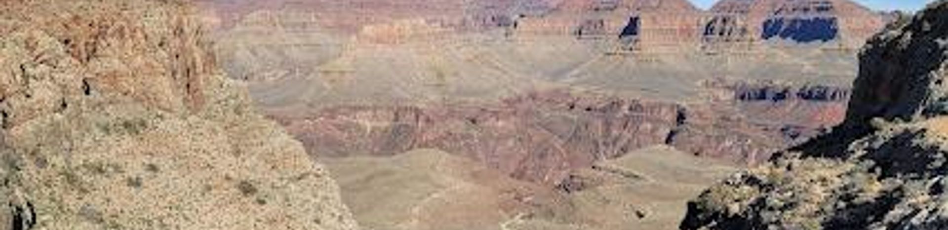
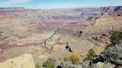
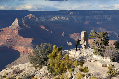
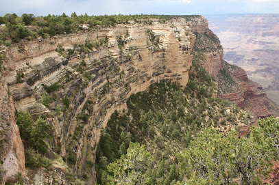
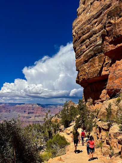
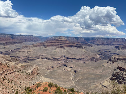
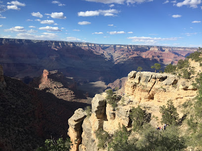
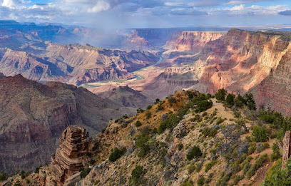
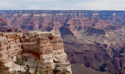
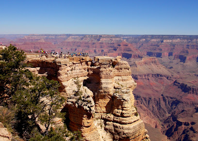
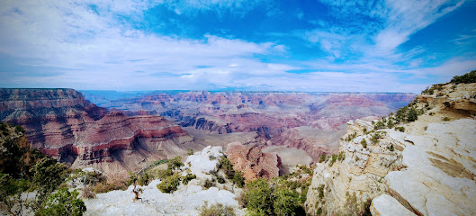
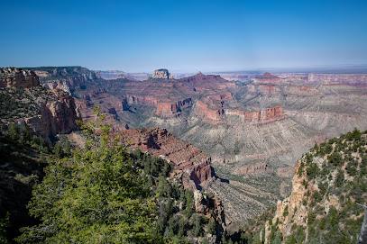
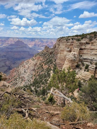
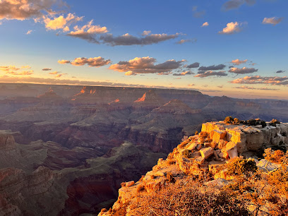
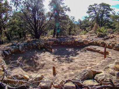
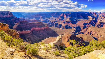
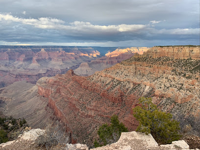
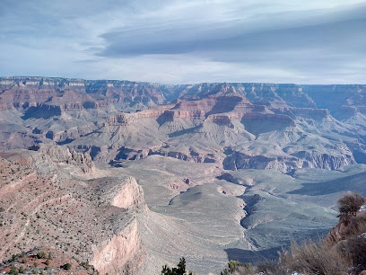
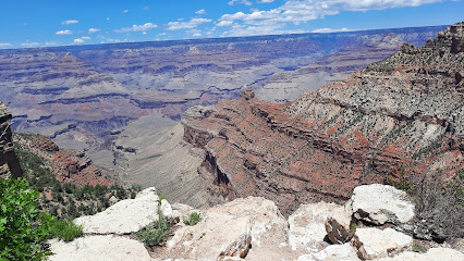
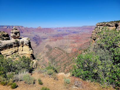
The Grandview Trail, located on the South Rim of the Grand Canyon, is a challenging yet rewarding hike that descends into the canyon's depths. Originally built in 1893 by miners, the trail offers stunning views and a glimpse into the Grand Canyon's mining past.
A brief summary to Grandview Trail
- Arizona, 86023, US
Local tips
- Start early to avoid the heat and secure parking at Grandview Point.
- Bring plenty of water as there are no reliable water sources along the trail.
- Wear sturdy hiking boots and use trekking poles for added stability on the steep and rocky terrain.
- Obtain a backcountry permit if you plan to camp overnight on Horseshoe Mesa.
- Be aware of the high radiation zone on Horseshoe Mesa and heed warning signs.
Getting There
-
Driving
From Grand Canyon Village, drive east on Desert View Drive (Highway 64) for approximately 12 miles. Alternatively, from the junction of Highway 89 and Highway 64 at Cameron, Arizona, drive west on Highway 64 for 44 miles. Turn north at the signed road for Grandview Point and follow it to the parking area. Park entrance fees are required.
-
Parking
Parking is available at the Grandview Point parking area. If planning an overnight hike, use the upper lot designated for long-term parking. Parking can be limited during peak hours, so arriving early is recommended. There is no additional cost for parking once inside the park.
Discover more about Grandview Trail
Iconic landmarks you can’t miss
Zuni Point
5.8 km
Discover Zuni Point: A secluded South Rim viewpoint offering stunning Red Canyon and Colorado River vistas, away from the crowds.
Shoshone Point Trailhead
8.5 km
Discover a hidden gem at the Grand Canyon's South Rim: Shoshone Point, offering easy hiking and panoramic views away from the crowds.
Tusayan Museum
10.0 km
Step back 800 years to explore an Ancestral Puebloan village and museum showcasing the rich human history of the Grand Canyon.
South Kaibab Trailhead
10.4 km
Experience the breathtaking beauty of the Grand Canyon at the South Kaibab Trailhead, a premier hiking destination for nature lovers and adventure seekers.
Grand Canyon Visitor Center Westbound - Kaibab Rim (Orange Route)
12.7 km
Your gateway to exploring the South Rim, providing access to stunning views, educational exhibits, and the Grand Canyon's free shuttle system.
Trail of Time
13.9 km
Walk through billions of years of geological history on this accessible trail along the South Rim of the Grand Canyon.
Grand Canyon Pioneer Cemetery
13.9 km
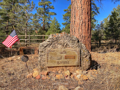
Discover the stories of pioneers and visionaries at the Grand Canyon Pioneer Cemetery, a place of history and remembrance.
National Historic Landmark - 1956 TWA-United Airlines Accident Site
13.9 km
Reflect on aviation history at this Grand Canyon memorial site with panoramic views of the canyon and the Painted Desert.
Grandeur Point
14.0 km
Experience breathtaking panoramic views of the Grand Canyon from the easily accessible and less crowded Grandeur Point.
Trail Of Time: Headquarters Portal Parking Lot A
14.1 km
Explore 4.56 billion years of geological history on this accessible trail with breathtaking Grand Canyon views.
Grand Canyon Chamber & Visitors Bureau
14.2 km
Your hub for Grand Canyon information: maps, guides, events, and expert advice to plan your unforgettable visit.
South Rim Trail
14.3 km
Experience the grandeur of the Grand Canyon along this accessible rim trail, offering stunning views and historical insights.
Grand Canyon Visitor Center IMAX
14.3 km
Experience the Grand Canyon's history and beauty on a giant IMAX screen, a perfect introduction to this natural wonder.
Grand Canyon Museum Collection
14.5 km
Explore the Grand Canyon's past through a vast collection of artifacts and research materials, preserving the legacy of this natural wonder.
Cape Final Trailhead
14.7 km
Discover panoramic Grand Canyon views on this easy North Rim trail, perfect for a secluded and unforgettable hiking experience.
Unmissable attractions to see
Grandview Point
2.3 km
Discover the breathtaking views at Grandview Point, a premier scenic spot in the Grand Canyon, showcasing the stunning beauty of Arizona's natural landscapes.
South Rim
3.7 km
Experience the grandeur of the Grand Canyon from the South Rim: breathtaking views, historic landmarks, and endless adventure.
E Rim Dr
4.8 km
Experience the Grand Canyon's majesty along E Rim Drive: stunning vistas, hiking trails, and unforgettable natural beauty.
Moran Point
4.9 km
Experience the awe-inspiring vistas at Moran Point, a breathtaking viewpoint in the Grand Canyon that showcases nature's stunning beauty.
Grandview Lookout Tower
7.0 km
Discover breathtaking views and rich history at Grandview Lookout Tower, a stunning landmark in the Grand Canyon with panoramic vistas and hiking opportunities.
Duck on a Rock Viewpoint
8.0 km
Experience the awe-inspiring beauty of the Grand Canyon at Duck on a Rock Viewpoint, a scenic spot that promises unforgettable views and tranquility.
Shoshone Point
8.1 km
Experience the serene beauty of Shoshone Point, a scenic spot in Grand Canyon National Park offering breathtaking views and tranquil surroundings.
Tusayan Ruin
10.0 km
Explore the rich history of the Ancestral Puebloans at the Tusayan Ruins in Grand Canyon National Park, a must-visit historic site for all travelers.
Yaki Point
10.6 km
Explore Yaki Point, an iconic observation deck in the Grand Canyon National Park, offering stunning views and unforgettable sunset experiences.
Pipe Creek Vista
11.0 km
Discover breathtaking views and tranquility at Pipe Creek Vista, a stunning overlook of the Grand Canyon's majestic landscapes.
Ooh Aah Point
11.0 km
Experience breathtaking views at Ooh Aah Point, a must-see vista along the South Kaibab Trail in the Grand Canyon, perfect for nature lovers and photographers.
Grand Canyon
11.1 km
Explore the breathtaking landscapes, diverse wildlife, and endless adventures at the Grand Canyon, a true natural wonder in Arizona.
S Kaibab Trail
11.1 km
Experience the breathtaking views and stunning landscapes of the S Kaibab Trail at Grand Canyon Village, a must-visit for every nature lover.
Lipan Point
11.2 km
Discover Lipan Point, a breathtaking viewpoint in Grand Canyon Village, where stunning vistas and vibrant hues of the canyon await every traveler.
Cedar Ridge
11.4 km
Discover Cedar Ridge - A Scenic Hiking Gem Offering Spectacular Views of the Grand Canyon's Majestic Landscape.
Essential places to dine
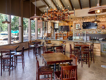
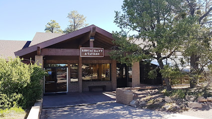
Yavapai Tavern
13.5 km
Discover Yavapai Tavern at Grand Canyon – where delicious food meets breathtaking views in an unforgettable dining experience.
Yavapai Lodge Dining Hall
13.5 km
Experience delicious dining at Yavapai Lodge Dining Hall in Grand Canyon Village - where local flavors meet stunning views.
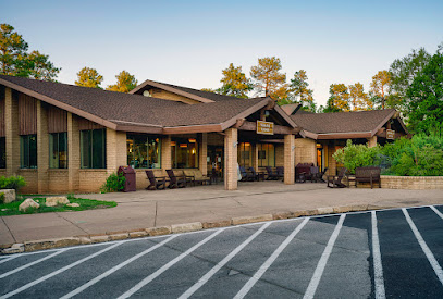
Yavapai Lodge
13.5 km
Experience comfort and adventure at Yavapai Lodge in Grand Canyon Village – your ideal base for exploring stunning landscapes.
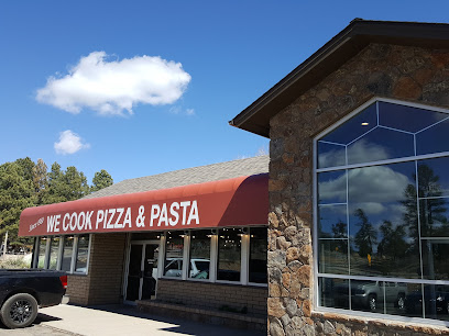
We Cook Pizza and Pasta
14.1 km
Experience delicious pizza and authentic Italian dishes at We Cook Pizza and Pasta in Grand Canyon Village – perfect for adventurers seeking culinary delights.
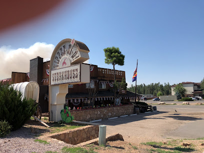
Yippee-Ei-O! Steakhouse
14.1 km
Savor mouthwatering steaks at Yippee-Ei-O! Steakhouse in Grand Canyon Village - where flavor meets adventure amidst stunning natural beauty.
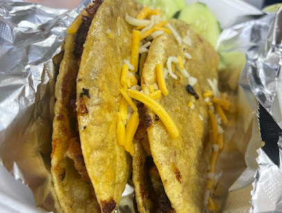
R&J's Mexican Food Truck
14.2 km
Experience authentic Mexican cuisine at R&J's Food Truck near the Grand Canyon – where flavor meets adventure.
Grand Canyon Coffee Factory
14.2 km
Savor locally roasted coffee at the Grand Canyon Coffee Factory while enjoying breathtaking views and relaxing atmosphere.
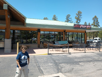
Explorers Cafe & Pizza Hut Express
14.3 km
Experience delightful dining at Explorers Cafe & Pizza Hut Express in Grand Canyon Village - where delicious pizza meets stunning natural beauty.
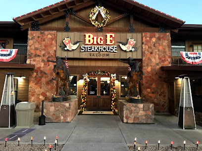
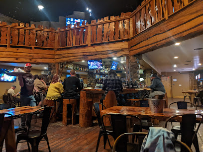
Big E Steakhouse & Saloon
14.3 km
Experience the best steak in Grand Canyon Village at Big E Steakhouse & Saloon – where delicious flavors meet stunning natural beauty.
Pizza Hut Express
14.3 km
Savor delicious pizzas at Pizza Hut Express near Grand Canyon; perfect for quick bites after outdoor adventures.
Grand Canyon IMAX Theater
14.3 km
Discover the beauty of the Grand Canyon through immersive films at the Grand Canyon IMAX Theater—where nature meets cinema.
Foodie Club
14.4 km
Experience delightful dining at Foodie Club in Grand Canyon Village - where adventure meets flavor in every bite.
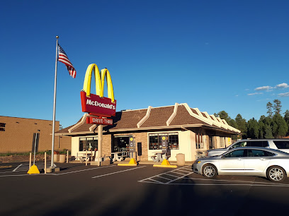
McDonald's
14.4 km
Enjoy affordable fast food near the Grand Canyon at McDonald's—perfect for travelers craving a quick meal.
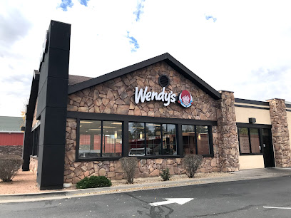
Wendy's
14.4 km
Experience quick and tasty meals at Wendy's in Tusayan—your convenient stop near the Grand Canyon!
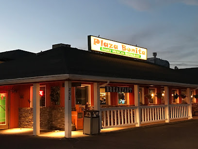
Plaza Bonita Restaurant
14.4 km
Experience authentic Mexican cuisine at Plaza Bonita Restaurant near Grand Canyon - where every meal is a fiesta!
Markets, malls and hidden boutiques
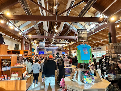
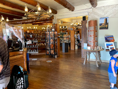
GCC Park Store at Grand Canyon Visitor Center
12.7 km
Explore the GCC Park Store at Grand Canyon Visitor Center for unique gifts, books, and souvenirs that capture the spirit of this natural wonder.
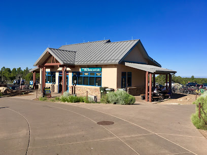
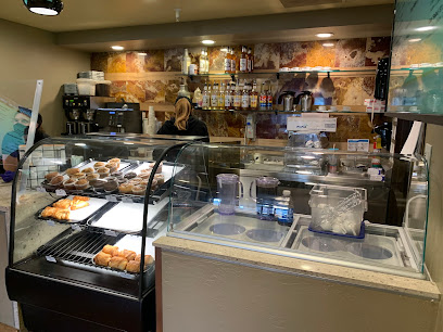
Bright Angel Bikes & Café at Grand Canyon Visitor Center
12.8 km
Discover the Grand Canyon like never before at Bright Angel Bikes & Café, where adventure meets great American cuisine.
Yavapai Café
13.5 km
Discover the delicious offerings at Yavapai Café, a charming spot within Grand Canyon Village, perfect for tourists seeking a delightful meal.
Market Plaza Parking - Lot B
13.5 km
Explore the Grand Canyon with ease at Market Plaza Parking - Lot B, your essential parking spot for adventure and convenience in Grand Canyon Village.
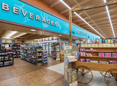
Grand Canyon Village Market & Deli
13.5 km
Discover the Grand Canyon Village Market & Deli, your go-to spot for fresh food, camping supplies, and unforgettable canyon views.
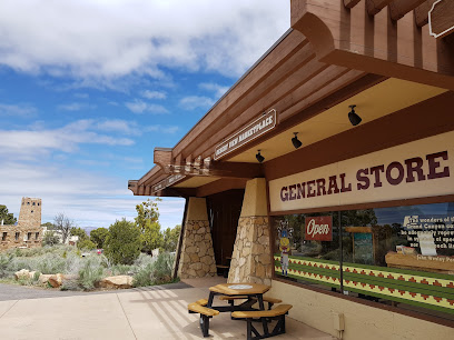
General Store
13.5 km
Explore the General Store in Grand Canyon Village for camping gear, snacks, and unique souvenirs amidst breathtaking landscapes.
Mather Campground Camp Store
13.6 km
Discover the essentials at Mather Campground Camp Store in Grand Canyon Village, your go-to spot for supplies, snacks, and local advice in this majestic national park.
Grand Canyon Outfitters
13.6 km
Your one-stop destination for camping gear and outdoor adventures in the heart of Grand Canyon Village.
Camper Services And Camp Store
13.6 km
Explore the Grand Canyon with ease at Camper Services and Camp Store - your go-to stop for camping gear, local tips, and great coffee!
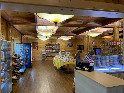
Desert View Trading Post
13.9 km
Explore Native American artistry and enjoy delicious ice cream at the Desert View Trading Post, a must-visit stop at the Grand Canyon.
Desert View Market and Deli
13.9 km
Discover the flavors of the Grand Canyon at Desert View Market and Deli, where convenience meets quality in a stunning natural setting.
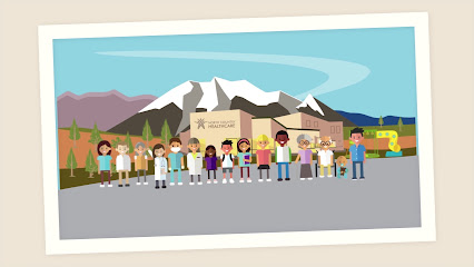
North Country HealthCare - Grand Canyon
14.0 km
Discover reliable healthcare at North Country HealthCare, your essential medical resource while exploring the Grand Canyon.
Tusayan General Store
14.1 km
Tusayan General Store offers a perfect blend of convenience and local charm for Grand Canyon visitors, stocking essentials and unique souvenirs.
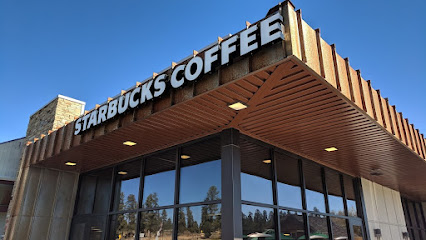
Starbucks
14.1 km
Experience the perfect blend of comfort and adventure at Starbucks near the Grand Canyon, your ideal stop for coffee before exploring nature's wonders.
Grand Canyon Chocolate Factory
14.2 km
Savor the exquisite chocolates and pastries at the Grand Canyon Chocolate Factory, a must-visit sweet spot in the breathtaking Grand Canyon Village.
Essential bars & hidden hideouts
Roughrider Saloon
21.1 km
Discover the rustic charm of Roughrider Saloon, a cozy coffee shop in North Rim, Arizona, offering delightful brews and stunning canyon views.

Kaibab Lodge
46.3 km
Experience the rustic charm and natural beauty of Kaibab Lodge, your perfect base for exploring the Grand Canyon.

Kaibab Plateau
65.2 km
Discover the stunning beauty of Kaibab Plateau in Arizona, a natural paradise offering breathtaking views and unforgettable outdoor adventures.
Kaibab Camper Village
80.2 km
Discover the tranquility of Kaibab Camper Village, a serene campground in Arizona's national forest, perfect for camping and outdoor adventures.
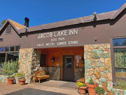
Jacob Lake Inn
80.3 km
Experience the perfect blend of comfort, local culture, and adventure at Jacob Lake Inn, your gateway to Northern Arizona's natural wonders.
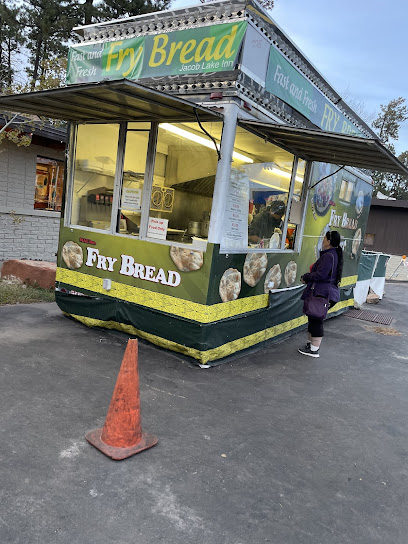
Indian Fry Bread
80.4 km
Savor the authentic taste of Native American fry bread in Fredonia, AZ, where tradition meets flavor in a picturesque setting.
Chevron
80.4 km
Discover Chevron in Fredonia, the essential pit stop for travelers exploring Northern Arizona’s breathtaking landscapes and attractions.
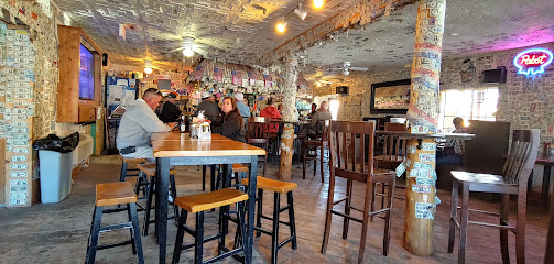
The Long Horn Saloon
87.2 km
Discover The Long Horn Saloon in Williams, Arizona—a vibrant bar and grill along Route 66, offering delicious meals and a lively atmosphere.
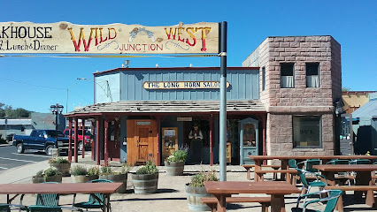
dj's Wild West Junction
87.2 km
Visit DJ's Wild West Junction in Williams, AZ for delicious steak, a vibrant bar atmosphere, and a taste of the Wild West experience.
Spenser's Pub
87.3 km
Discover the charming atmosphere of Spenser's Pub in Williams, Arizona, where great drinks and delicious food meet warm hospitality.
Williams
87.4 km
Explore the historic charm of Williams, Arizona, the gateway to the Grand Canyon, where Route 66 meets adventure and nostalgia.
Canyon Club
87.4 km
Explore the Canyon Club in Williams, AZ - where cocktails and karaoke come together for an unforgettable night out!
Sultana Bar
87.5 km
Discover the vibrant atmosphere and historic charm of Sultana Bar on Route 66, a perfect stop for travelers seeking local culture and fun.
Grand Canyon Brewing + Distillery
87.5 km
Discover the essence of craft brewing at Grand Canyon Brewing + Distillery, a must-visit destination for food and beer lovers alike, in Williams, Arizona.
Timberline Tavern
91.8 km
Discover Timberline Tavern in Flagstaff – a welcoming bar with delicious food and drinks nestled in Arizona's breathtaking landscape.
Nightclubs & after hour spots
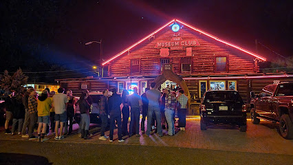
The Museum Club
95.6 km
Discover the unique charm and lively atmosphere of The Museum Club, Flagstaff's favorite bar along historic Route 66.
Halloween at Hotel Monte Vista
95.9 km
Experience the hauntingly fun Halloween festivities at Flagstaff's iconic Hotel Monte Vista, where history meets celebration in a lively night club atmosphere.

Yucca North
96.0 km
Experience Flagstaff's vibrant nightlife at Yucca North, where live music, delicious American cuisine, and fun arcade games come together for an unforgettable evening.

Foram Bar
96.1 km
Experience the vibrant nightlife at Foram Bar in Flagstaff, AZ, a lively night club and bar & grill with great food, drinks, and music.

The Annex Cocktail Lounge
96.1 km
Discover The Annex Cocktail Lounge, Flagstaff's premier cocktail bar, offering a unique selection of drinks in a cozy and inviting atmosphere.

DoubleTree Lounge
96.4 km
Experience the cozy atmosphere of DoubleTree Lounge in Flagstaff, where signature cocktails and light bites await in a welcoming environment.