
Lake Mtnalich: A Pristine Jewel of Aragats
Discover the serene beauty of Lake Mtnalich, a hidden alpine gem on Mount Aragats, offering breathtaking views and tranquil hiking trails.
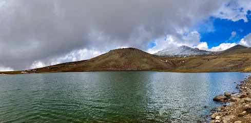
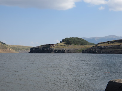
Lake Mtnalich, nestled high on Mount Aragats, offers a serene escape into Armenia's alpine beauty. This high-altitude lake, surrounded by vibrant meadows and the majestic peak of Aragats, is a haven for hikers and nature enthusiasts seeking tranquility and stunning views.
A brief summary to Մթնալիճ
- G5JJ+CVC, AM
Local tips
- The best time to hike to Lake Mtnalich is from June to October, when the weather is mild and the trails are accessible.
- Wear appropriate hiking boots and comfortable clothing, as the terrain can be uneven and the weather can change quickly.
- Bring plenty of water and snacks, as there are no facilities available near the lake.
- Consider hiring a local guide to enhance your hiking experience and learn more about the area.
Getting There
-
Car
From Yerevan, drive north towards the village of Geghadzor in the Aragatsotn Province. The journey is approximately 90 km and takes around 1.5 to 2 hours. From Geghadzor, you'll need an off-road vehicle (4WD) to navigate the rough terrain towards Lake Rapi, which is located at an altitude of 3000m. From Lake Rapi, the hike to Lake Mtnalich begins. Costs: * Taxi from Yerevan to Geghadzor: Approximately 8,000-12,000 AMD. * Off-road vehicle rental from Geghadzor to Lake Rapi (round trip): Approximately 135,000-225,000 AMD, depending on group size.
-
Hiking
The hike to Lake Mtnalich starts from Lake Rapi, which is accessible by off-road vehicle from Geghadzor village. The trail is approximately 9 km long with an altitude gain of 550 meters and is considered moderate in difficulty. Follow the marked trail towards the northern wall of Mount Aragats, where Lake Mtnalich is located. Costs: * There are no entrance fees or permits required for hiking to Lake Mtnalich.
Discover more about Մթնալիճ
Iconic landmarks you can’t miss
Aragats restaurant
6.4 km
Savor authentic Armenian cuisine with breathtaking mountain views at Aragats Restaurant, a culinary gem in the heart of the Aragats region.
Gntuniq
16.2 km
Experience the vibrant flavors at Gntuniq, Aparan's premier food court, where local and international dishes come together in a lively atmosphere.

Tigran Petrosian Square
16.2 km
Discover Tigran Petrosian Square, a vibrant town square in Aparan, Armenia, where culture and community blend in a picturesque setting.

Tukh Manuk Church
20.0 km
Discover the serene beauty and historical significance of Tukh Manuk Church in Lusagyugh, an enchanting Armenian landmark surrounded by breathtaking nature.
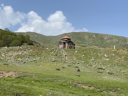
Lmbatavank
20.8 km
Explore the hidden wonders of Lmbatavank Monastery, a stunning historical site nestled in the picturesque landscapes of Armenia, rich in culture and spirituality.
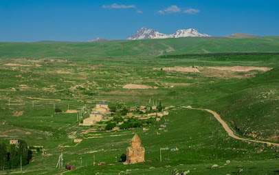
Artavazik Church
23.4 km
Discover the tranquil beauty of Artavazik Church in Byurakan, a stunning example of Armenian architecture surrounded by serene landscapes.
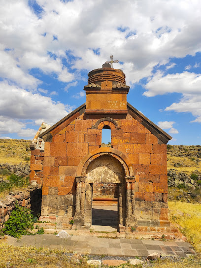
Astvatsynkal Monastery
23.4 km
Discover the tranquil beauty and rich spiritual heritage of Astvatsynkal Monastery in Yernjatap, an essential stop for travelers exploring Armenia.
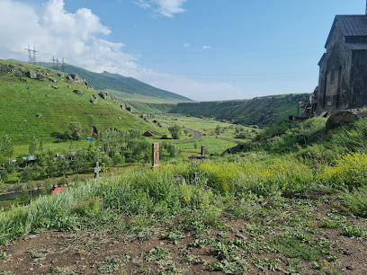
Hogevank
25.0 km
Discover the tranquility and rich history of Hogevank Monastery in Sarnaghbyur, a serene retreat surrounded by breathtaking landscapes.
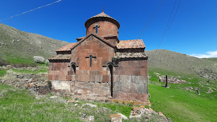
Shirak Plain
26.2 km
Explore the breathtaking Shirak Plain in Armenia, where stunning landscapes meet rich cultural heritage, perfect for nature lovers and adventure seekers.

Fortalesa de Kosh
27.3 km
Explore the historical and architectural marvel of Fortalesa de Kosh in Aragatsotn, a captivating landmark steeped in Armenia's rich heritage.

Agarak Historical and Cultural Reserve
27.4 km
Uncover the enchanting past at Aragarak Historical and Cultural Reserve, where ancient ruins meet breathtaking landscapes in Armenia.
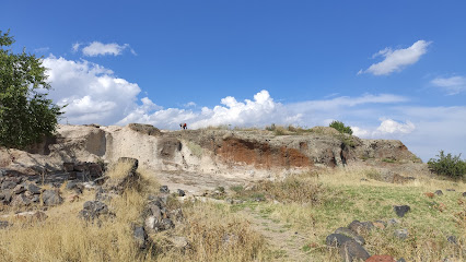
Archaeological complex of Horom
27.6 km
Discover the Horom Archaeological Complex in Shirak, Armenia, where ancient history comes to life amidst stunning natural beauty. Explore the ruins of this ancient fortress.

ArmAs Winery
30.0 km
Experience the enchanting flavors of Armenian wine at ArmAs Winery, nestled in the breathtaking Aragatsotn region, where tradition meets modern craftsmanship.
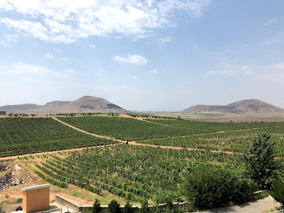
Karmravor Church
30.0 km
Explore the captivating Karmravor Church in Ashtarak, a masterpiece of Armenian architecture set against a backdrop of stunning natural beauty.

Arzé Lebanese Café by Pascal & Diodato Ashtarak
30.0 km
Experience authentic Lebanese cuisine with a warm Armenian welcome at Arzé Lebanese Café in Ashtarak. Fresh flavors, stunning views, and friendly service.

Unmissable attractions to see
Гора Арагац
1.2 km
Hike Armenia's highest peak, Mount Aragats, an extinct volcano with stunning views, rich history, and challenging trails for all levels.
Արագած հյուսիսային(կեղծ) գագաթ
1.3 km
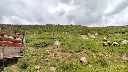
Hike to the 'false peak' of Mount Aragats, Armenia's highest point, for stunning views and a challenging, rewarding experience.

Mount Aragats
1.4 km
Explore Mount Aragats, Armenia's stunning volcanic peak, offering breathtaking views, rich biodiversity, and unforgettable hiking adventures.
Rapi pond
2.3 km
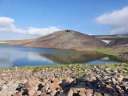
Discover the serene beauty of Rapi Pond in Armenia: a high-altitude hiking paradise with stunning views of Mount Aragats.
Waterfall Gegharot
4.0 km
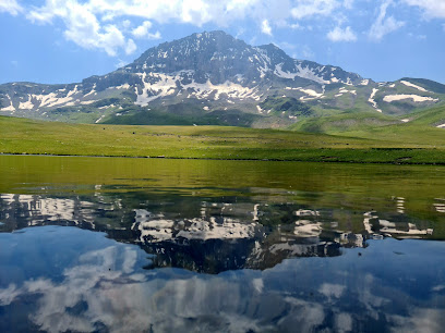
Discover the majestic Gegharot Waterfall on Mount Aragats: a year-round spectacle of nature's beauty and Armenian heritage.

large waterfall in Aragats
4.1 km
Discover Gegharot Waterfall on Mount Aragats: A stunning Armenian natural monument offering icy winter beauty and refreshing summer cascades.
Small waterfall Gegharot
5.1 km
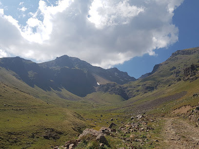
Discover the serene beauty of Small Waterfall Gegharot in Armenia's Aragats region, a perfect escape for hikers and nature enthusiasts.
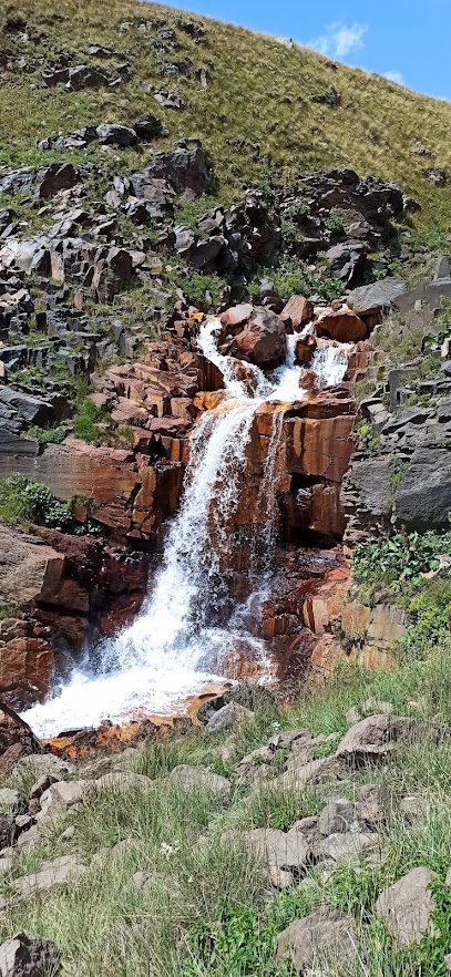
Mantash Waterfall
5.2 km
Discover the serene beauty of Mantash Waterfall in Armenia, a hidden gem offering breathtaking views and a tranquil escape into nature.
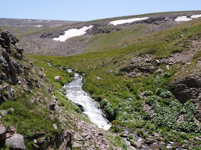
Aragats Alpine State Sanctuary
6.2 km
Explore Armenia's largest nature reserve: Hike Mount Aragats, discover alpine beauty, and immerse yourself in history.
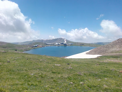
Source Lake (Ակունք Լիճ)
6.3 km
Discover the serene beauty of Source Lake in Nigavan, Armenia, a perfect escape for nature lovers and peace seekers.

Kari Lake
6.4 km
Explore Mount Aragats, Armenia's highest peak, where stunning landscapes meet rich history and exhilarating outdoor adventures await.
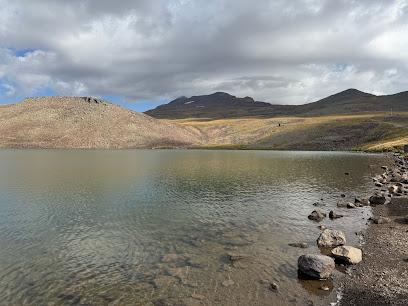
Before Source (Նախաակունք Լիճ)
6.7 km
Discover the serene beauty of Before Source (Nakhaakunkh Lich) in Armenia, a perfect escape for nature lovers and outdoor enthusiasts.

Lake Umroy
6.9 km
Discover the serene beauty of Lake Umroy in Armenia's Aragats region, a perfect alpine escape for hikers and nature enthusiasts seeking tranquility.
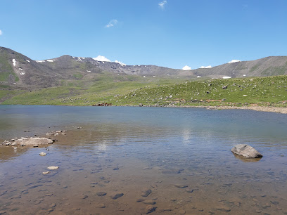
Mantash Reservoir
7.5 km
Escape to the serene Mantash Reservoir in Armenia for hiking, birdwatching, and breathtaking mountain views.
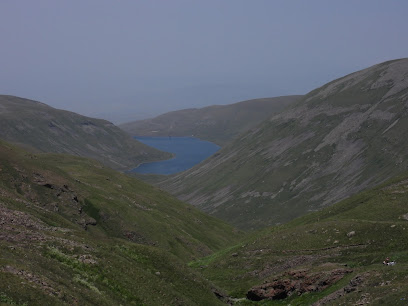
Small waterfall in Aragats
7.7 km
Discover the serene beauty of the Small Waterfall in Aragats, a hidden gem nestled in the heart of Armenia's picturesque landscape.
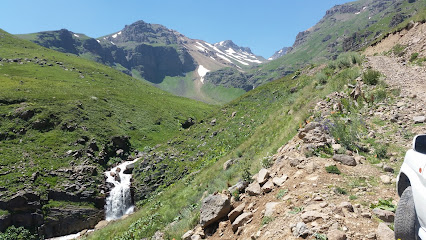
Essential places to dine
Քարանձավ (Karandzav)
15.6 km
Experience authentic Armenian flavors at Karandzav in Aparan, where traditional dishes meet warm hospitality in a charming setting.
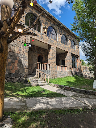
Restoran Aparan
16.0 km
Experience authentic Armenian flavors at Restoran Aparan - where tradition meets taste in every dish.

Restaurant Motel Aparan
16.0 km
Discover authentic Armenian cuisine in a cozy atmosphere at Restaurant Motel Aparan, where every dish tells a story.
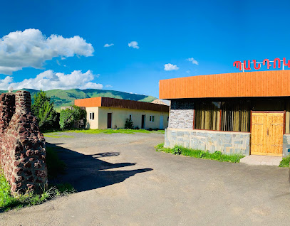
Akut
16.2 km
Discover authentic Armenian flavors at Akut Restaurant in Aparan – where tradition meets taste in every dish.

Համով Անկյուն
16.3 km
Experience the best fast food delights at Համով Անկյուն in Aparan - where flavor meets convenience for every traveler.

Ապարանք հանդիսասրահ/Aparank hall
16.3 km
Experience authentic Armenian cuisine at Aparank Hall in the scenic town of Aparan, where every dish reflects tradition and warmth.

Armos
16.8 km
Discover Armos in Aparan - where authentic Armenian flavors meet heartfelt hospitality in a cozy dining atmosphere.

Ashtarak
18.0 km
Experience authentic Armenian flavors at Ashtarak – where every dish tells a story and every meal is a celebration.

Apna Hacatun restaurant
19.8 km
Experience authentic Armenian cuisine at Apna Hacatun restaurant in Aparam, where tradition meets modern culinary artistry.

Amberd Tavern
20.1 km
Discover Amberd Tavern in Antarut: Experience authentic Armenian flavors in a charming setting.

Texer
20.5 km
Experience authentic Armenian cuisine at Texer – where tradition meets taste in every delightful dish.
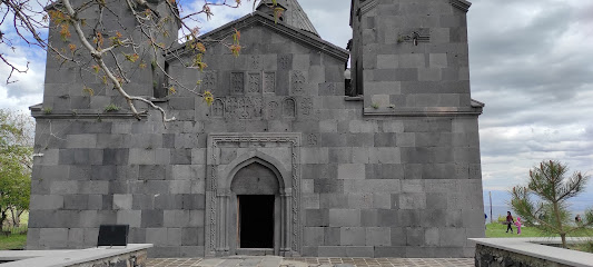
Byurakani Ojax
22.5 km
Discover authentic Armenian flavors at Byurakani Ojax – where culinary tradition meets stunning views in the heart of Byurakan.

Byurakan Pandok
22.5 km
Experience authentic Armenian flavors at Byurakan Pandok - where tradition meets culinary excellence in a picturesque setting.
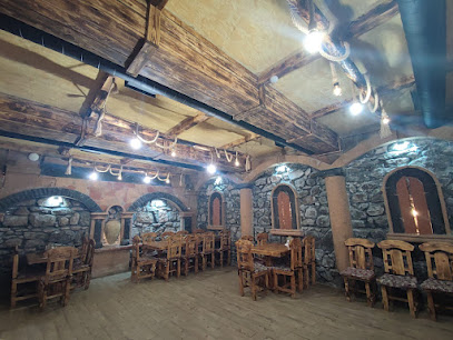
Margarit hangsti goti
23.5 km
Discover the warmth and flavors of Margarit Hangsti Goti in Artashavan - a perfect family-friendly restaurant for memorable dining experiences.

Taq Tegh Restaurant
23.5 km
Experience authentic Armenian cuisine at Taq Tegh Restaurant in Yeghipatrush, where every dish tells a story of tradition and flavor.
Markets, malls and hidden boutiques
Մարկետ
14.4 km
Explore local flavors at Մարկետ in Aragats, where fresh produce and authentic Armenian products await your discovery.

AMARAS SHOP
14.7 km
Explore AMARAS SHOP in Aragats for a delightful collection of magazines and a glimpse into local culture.
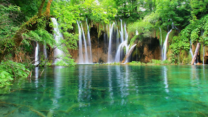
Aragats Super Market
15.5 km
Discover the flavors and culture of Armenia at Aragats Super Market, a vibrant hub for local shopping and community.

Շինանյութ
15.8 km
Discover local craftsmanship at Shinyanuyt, a unique hardware store in Aparan showcasing high-quality tools and supplies.

AGP Computers
16.0 km
Explore the latest in technology at AGP Computers, Aparan's premier computer store offering a wide range of products and exceptional customer service.

Natali Pharm
16.2 km
Discover Natali Pharm in Aparan: Your go-to pharmacy for health essentials and personal care during your travels in Armenia.

Գեդեոն Ռիխտեր
16.2 km
Gedeon Richter: Your trusted pharmacy in Aparan offering quality health products and expert advice for travelers and locals.

Aparan
16.2 km
Discover the authentic flavors of Armenia at this charming bakery in Aparan, where every bite tells a story of tradition.

Q Partner
16.2 km
Discover the vibrant Q Partner Tobacco Shop in Aparan, where tobacco enthusiasts find a diverse selection of products and a welcoming atmosphere.

Ալֆա Ֆարմ
16.2 km
Explore health and wellness at Ալֆա Ֆարմ, the go-to pharmacy in Aparan for travelers seeking health essentials and local remedies.

Մանկիկ
16.2 km
Explore Mankik in Aparan for a unique selection of traditional and modern clothing that reflects the beauty of Armenian culture.

Mobile Centre
16.2 km
Explore Mobile Centre in Aparan for the latest smartphones and accessories, ensuring you stay connected on your travels.

SuperMarket
16.2 km
Discover the essence of Armenian culture at SuperMarket, a vibrant grocery store in Aparan, filled with local flavors and unique products.

Mersi Market
16.2 km
Explore the rich flavors of Armenia at Mersi Market, your go-to grocery store in Aparan for local delicacies and artisanal products.

Grand Market
16.2 km
Explore Grand Market in Aparan for a unique shopping experience filled with local culture, fresh produce, and traditional Armenian crafts.

Essential bars & hidden hideouts
Aragats Hotel
15.8 km
Discover the charm of Aragats Hotel, your cozy retreat in the heart of Armenia's breathtaking landscapes.
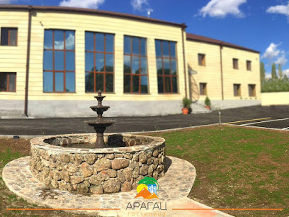
Hrach tun
15.9 km
Discover Hrach Tun in Aparan, a cozy bar offering a selection of local and international drinks in an inviting atmosphere.

HAGIS разливное пиво
20.9 km
Discover the rich flavors of local and international beers at HAGIS разливное пиво, a vibrant beer hall in Artik perfect for tourists and locals alike.

ZipWine Byurakan
22.8 km
Discover the exquisite local wines and delightful Armenian cuisine at ZipWine Byurakan, a serene retreat in the heart of nature.

Restaurant
22.9 km
Experience the authentic Armenian hospitality at Tsilkar's vibrant bar, where culture and flavor come together in a cozy atmosphere.

Ըօըօւօ
23.8 km
Experience the vibrant Armenian nightlife at Yöoyö Bar in Irind, a perfect spot for local drinks and cultural immersion.

Samenc piwnoc
26.9 km
Experience the charm of Maralik at Samenc Piwnoc, where traditional Armenian hospitality meets modern bar culture.

Վահան հյուրատուն
33.9 km
Discover the charm of Vahan Guesthouse in Yeghvard, a cozy bar perfect for unwinding with local drinks and meeting fellow travelers.

Van Ardi Winery
36.1 km
Experience the magic of Armenian wines at Van Ardi Winery, where tradition meets innovation in a picturesque setting.

Beer Corner
38.7 km
Discover the vibrant atmosphere of Beer Corner in Gyumri, where local brews and camaraderie await every visitor.

БАР Россияне
39.9 km
Experience the vibrant nightlife of Spitak at БАР Россияне, where local flavors meet lively atmosphere for an unforgettable evening.

BART
40.2 km
Discover BART in Vanadzor - a vibrant bar offering a cozy atmosphere, exquisite cocktails, and exceptional service for a memorable night out.

Solenoid
40.2 km
Experience the vibrant nightlife at Solenoid, a lively pub in Vanadzor offering great drinks, music, and a chance to connect with locals.

Trezzo lounge-cafe
40.3 km
Discover the cozy charm of Trezzo Lounge-Cafe in Gyumri, where delightful flavors and a warm atmosphere await every traveler.

A Sky Bar
40.3 km
Discover Vanadzor's breathtaking views and vibrant nightlife at A Sky Bar, the perfect place to relax and enjoy expertly crafted cocktails.

Nightclubs & after hour spots
Рыбалка Апаран
21.7 km
Discover the buzzing nightlife at Рыбалка Апаран, a vibrant night club in Armenia, where music, dancing, and fun come together for an unforgettable experience.
Metelica club
38.6 km
Discover the vibrant nightlife of Gyumri at Metelica Club, where music and dance come alive in an unforgettable atmosphere for every tourist.

Favorit
38.7 km
Explore Spitak's nightlife at Favorit Night Club, where vibrant music, energetic atmosphere, and unforgettable moments await you.

ՈՄԱ Վանաձոր ՌՀ ՀԿ
39.3 km
Experience the vibrant sports culture at VOMA Vanadzor Sports Club, where fitness meets community engagement in the heart of Armenia.

Gyumri Home
39.6 km
Discover the best of Armenian culture at Gyumri Home Lounge, where traditional flavors meet contemporary relaxation in the heart of Gyumri.

Ray Night Club
39.8 km
Discover the electrifying nightlife of Gyumri at Ray Night Club, where music and dance create unforgettable memories every night.

Լաքի
39.8 km
Discover Gyumri's nightlife at Lucky Club, where great music, vibrant atmosphere, and unforgettable experiences await in Armenia's cultural heart.

Թիվ 69 կլուբ
39.9 km
Discover the best of Gyumri's nightlife at Թիվ 69 կլուբ, where unforgettable nights of music, dance, and culture await you.

Diamond Club
40.1 km
Discover the vibrant nightlife and electrifying atmosphere at Diamond Club, Gyumri's premier destination for unforgettable late-night experiences.

24i kurilka
40.5 km
Experience the vibrant nightlife of Vanadzor at 24i Kurilka, the city's top night club offering lively music, delicious cocktails, and unforgettable moments.

Garage club
41.2 km
Discover Garage Club, Gyumri's lively pub nestled in the Commercial Center, perfect for enjoying local drinks and vibrant nightlife.

Hr
41.3 km
Experience the lively bar scene in Vanadzor, where local culture meets a fantastic selection of drinks and vibrant nightlife.

Ind-am bar cafe & night club
42.4 km
Discover the vibrant nightlife of Yerevan at Ind-am Bar Cafe & Night Club, where electrifying music meets exquisite drinks for an unforgettable experience.

Safari Club
43.6 km
Dive into the heart of Armavir's nightlife at Safari Club, where music, dancing, and vibrant energy come together for an unforgettable experience.

Infiniti Night Club
45.2 km
Discover the electrifying nightlife of Tsaghkadzor at Infiniti Night Club, where vibrant music and a lively crowd create unforgettable memories.


