

Free The Delaware Bayshore Travel Guide & Mobile App
Explore The Delaware Bayshore with free travel guides. Discover regional history, expert tips, proposed trips, and audio guides on web or mobile app.


The Delaware Bayshore combines tidal marshes, migratory birds, historic forts, fishing communities and quiet coastal roads along Delaware Bay.
Read more about The Delaware Bayshore
Getting to and around The Delaware Bayshore
How to get there
Transportation
Top city travel guides in The Delaware Bayshore
The cities of The Delaware Bayshore, and the easiest places to base yourself.
-
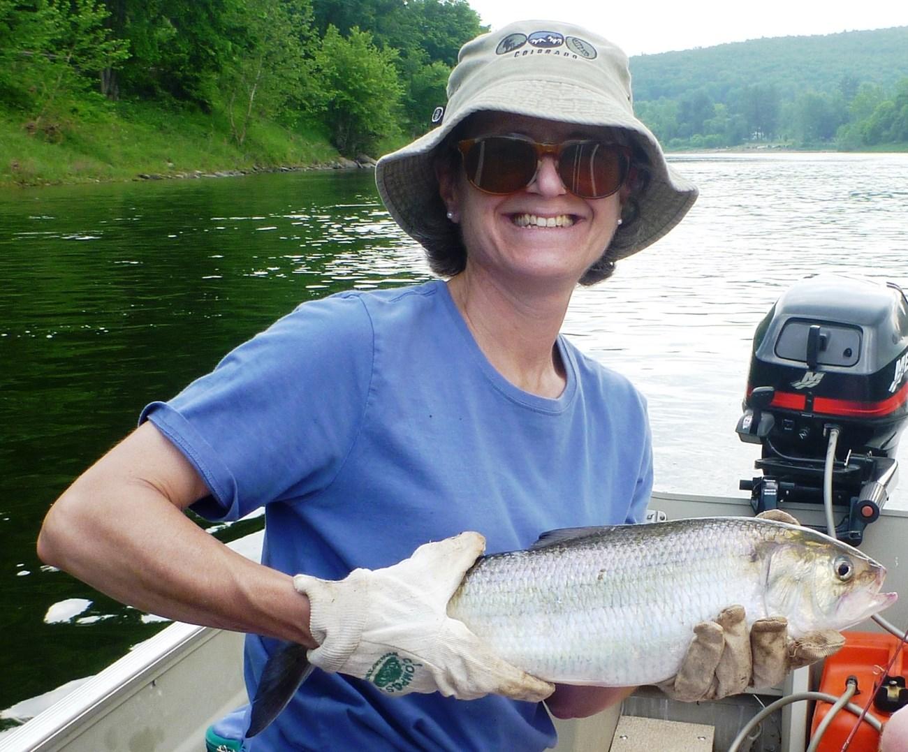 Milford
, Delaware, pairs a historic Mispillion River downtown with galleries, local dining, museums, trails and easy access to Delaware’s coast and beaches.
-


Swipe for more cities
Destinations in The Delaware Bayshore
Resorts, valleys and scenic spots worth a trip of their own.
-

-

-


Swipe for more destinations
Best attractions in The Delaware Bayshore
The Delaware Bayshore’s attractions are defined by open landscapes and ecological variety rather than a dense chain of commercial sights. Bombay Hook National Wildlife Refuge near Smyrna is the region’s best-known wildlife destination, with tidal marsh, impoundments, observation points and a driving route suited to birdwatching. Farther south, Prime Hook National Wildlife Refuge protects marshes, dunes and freshwater habitat, while the St Jones Reserve and Ted Harvey Conservation Area near Dover provide further opportunities for walking, paddling and observing coastal wildlife. Fort Delaware, reached from Delaware City when seasonal boat arrangements operate, offers a powerful combination of military history and island setting; Fort DuPont State Park adds river views, trails and later defence history. Smaller places, including Port Penn and Port Mahon, reward visitors interested in working-waterfront heritage and changing shorelines. The wider corridor also supports kayaking, photography, fishing where permitted and quiet beach visits, although facilities are often limited and many experiences depend on weather, tide and conservation rules.
-
State park
Cape Henlopen State Park
Discover pristine beaches, historical landmarks, and natural wonders at Cape Henlopen State Park, where the Delaware Bay meets the Atlantic Ocean.
-
Park
New Castle Battery Park
Discover scenic river views, historic charm, and outdoor fun at New Castle Battery Park, a waterfront treasure in Delaware's historic New Castle.
-
State park
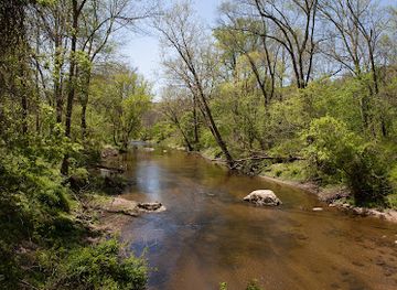
White Clay Creek State Park
Discover natural beauty and outdoor adventures in White Clay Creek State Park, a scenic Delaware treasure with trails, history, and year-round activities.
-
Museum
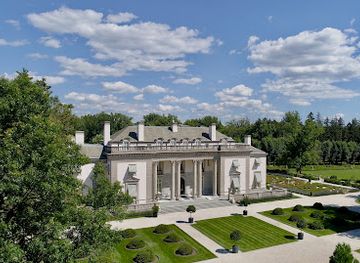
Nemours Estate
Explore a French-inspired Gilded Age estate with a stunning mansion, vintage cars, and elaborate gardens in Wilmington, Delaware.


Best landmarks in The Delaware Bayshore
The most recognisable landmarks of the Delaware Bayshore are tied to defence, water and wildlife. Fort Delaware stands on Pea Patch Island in the Delaware River, its brick fortifications recalling the strategic protection of the approaches to Wilmington and Philadelphia and the complex history of its Civil War prison camp. Fort DuPont State Park occupies a former military site near Delaware City, where surviving structures and riverine surroundings convey the importance of the waterway to national defence. Bombay Hook’s broad marshes and observation areas form a natural landmark as much as a wildlife attraction, with horizons shaped by channels, dikes and tidal flats. Prime Hook’s dunes, marshes and changing shoreline offer a comparable southern expression of the bay environment. Smaller landmarks include historic waterfront settings at Port Penn and Port Mahon, where roads, piers, marsh and eroding shorelines illustrate the region’s continuing negotiation with tidal water. The Delaware Bay itself is the defining geographic presence: a wide estuarine landscape whose tides, storms and migrations have shaped settlement and identity.
-
Wildlife refuge
Bombay Hook National Wildlife Refuge
Explore the serene beauty of Bombay Hook National Wildlife Refuge, a wildlife haven in Delaware perfect for birdwatching and nature exploration.
-
Historical landmark
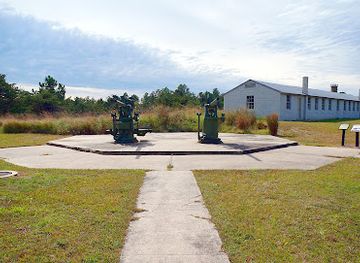
Fort Miles Historical Area
Discover the rich history of World War II at Fort Miles Historical Area, a captivating historical landmark in Delaware's Cape Henlopen State Park.
-
National reserve
First State National Historical Park
Discover the captivating blend of history and nature at First State National Historical Park in New Castle, Delaware—an essential stop for every traveler.
-
Historical place museum
John Dickinson Plantation
Discover the rich history of John Dickinson Plantation, where America's founding legacy comes to life amidst beautiful gardens and 18th-century architecture.

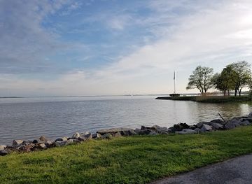
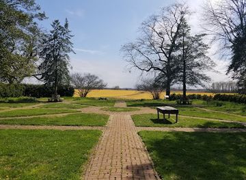
Explore The Delaware Bayshore on the map
Plan your trip on one map. See where the top cities, national parks and sights are, and book hotels and experiences in a few clicks.
Best hotels in The Delaware Bayshore
Best restaurants in The Delaware Bayshore
Dining along the Delaware Bayshore is generally local and practical rather than concentrated in a single restaurant district. Seafood traditions draw on the wider Delaware Bay, with blue crab, oysters, clams, fish and seasonal catches appearing where supplies and regulations permit. Crab houses, family restaurants, waterfront eateries and informal seafood counters are most likely to be found in larger towns or established coastal communities, while rural areas have a smaller selection of diners, cafés, pubs and general stores. Farm country contributes sweet corn, tomatoes, fruit and other produce during the growing season, and nearby towns provide bakeries and markets featuring familiar Mid-Atlantic foods. The Bayshore is also within the broader culinary world of Delaware, where scrapple, poultry, sandwiches and regional baking are common, but these are not exclusive to the coastal corridor. Ask about sourcing and seasonal availability, particularly for bay seafood, and expect fewer late-evening options outside Dover, Smyrna, Milford and other larger settlements.
-
Seafood
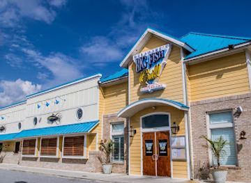
Big Fish Grill on the Riverfront
Experience culinary excellence at Big Fish Grill on the Riverfront - where fresh seafood meets stunning riverside views.
-
Traditional American
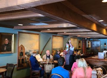
Jessop's Tavern
Savor Traditional American Cuisine at Jessop's Tavern in Historic New Castle - A Culinary Journey Through Time.
-
Grill
Paradise Grill
Experience delightful grilled dishes and refreshing drinks at Paradise Grill in Millsboro, DE – where flavor meets fun.
-
Pub
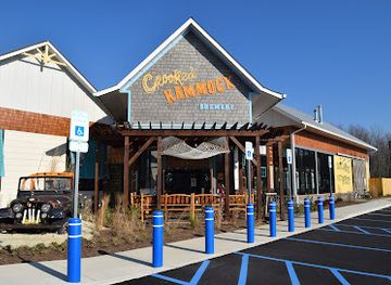
Crooked Hammock Brewery
Discover Crooked Hammock Brewery in Lewes - where craft beer meets delicious cuisine in a vibrant atmosphere perfect for relaxation.

Best bars in The Delaware Bayshore
Nightlife on the Delaware Bayshore is restrained and dispersed. In smaller waterfront communities and rural districts, the evening scene centres on traditional pubs, taverns, family restaurants and occasional live music rather than dedicated nightclubs. Dover, Smyrna and Milford provide the broadest choice of bars, breweries, restaurants and cultural venues, while Delaware City offers a compact historic-town setting for an early evening meal or drink. Some coastal businesses are more active during warmer months, but hours and entertainment schedules can change. Visitors staying near wildlife refuges should expect dark roads and an early start for birdwatching rather than a late-night entertainment district. Drink-driving is illegal, taxis and ride-hailing may be limited outside larger towns, and booking accommodation before relying on an evening outing is prudent.
-
Grill
Woody's Dewey Beach
Experience the vibrant atmosphere and delicious seafood at Woody's Dewey Beach, the perfect spot for oceanfront dining and relaxation.
-
Traditional American
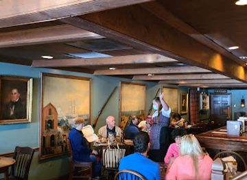
Jessop's Tavern
Discover the taste of traditional American cuisine in a historic setting at Jessop's Tavern in New Castle, Delaware.
-
Grill
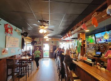
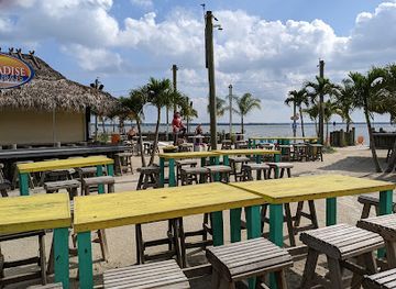
Paradise Grill
Experience the perfect blend of delicious grill dishes and scenic views at Paradise Grill in Millsboro, Delaware.
-
Grill
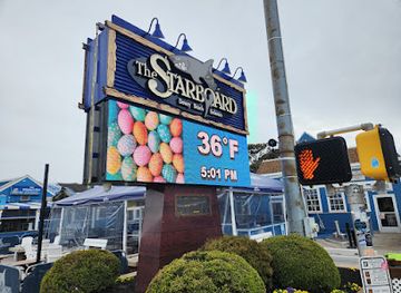
The Starboard
Discover the vibrant atmosphere and delicious grill menu at The Starboard, a premier dining destination in Dewey Beach, Delaware.
Best nightclubs in The Delaware Bayshore
Nightlife on the Delaware Bayshore is restrained and dispersed. In smaller waterfront communities and rural districts, the evening scene centres on traditional pubs, taverns, family restaurants and occasional live music rather than dedicated nightclubs. Dover, Smyrna and Milford provide the broadest choice of bars, breweries, restaurants and cultural venues, while Delaware City offers a compact historic-town setting for an early evening meal or drink. Some coastal businesses are more active during warmer months, but hours and entertainment schedules can change. Visitors staying near wildlife refuges should expect dark roads and an early start for birdwatching rather than a late-night entertainment district. Drink-driving is illegal, taxis and ride-hailing may be limited outside larger towns, and booking accommodation before relying on an evening outing is prudent.
-
Gay night club
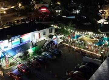
Diego's Bar Nightclub, Rehoboth Avenue Extension, Rehoboth Beach, DE
Discover the vibrant nightlife of Diego's Bar Nightclub in Rehoboth Beach, DE - a gay bar where fun, friends, and fantastic drinks meet.
-
Gay night club
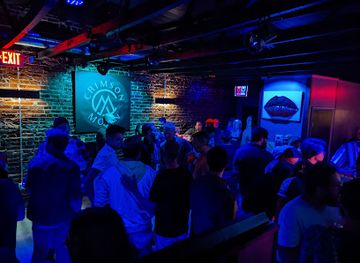
Crimson Moon
Unleash your spirit at Crimson Moon, Wilmington's vibrant gay night club, where dancing, live entertainment, and community come together.
-
Adult entertainment club
Hak's Bar
Discover the vibrant blend of adult entertainment and sports at Hak's Bar, the ultimate nightlife destination in Wilmington, DE.
-
Night club
Monday Club
Discover the lively nightlife at Monday Club, a premier night club in New Castle, DE, offering great music, drinks, and an unforgettable atmosphere.
Best shops in The Delaware Bayshore
Shopping on the Delaware Bayshore is concentrated in market towns rather than along a continuous coastal retail strip. Dover, Smyrna and Milford offer the widest range of supermarkets, independent shops, antiques, clothing and practical supplies, while Delaware City and smaller communities provide a more limited selection of cafés, local services and browsing opportunities. Farm stands and seasonal roadside sellers may offer sweet corn, tomatoes, fruit, honey and other Delaware produce, especially during the warmer months. Seafood shops and markets can be useful for locally associated crab, oysters and fish, but availability changes with season, weather and regulation. Visitors looking for regional gifts should consider local food products, books on Delaware history and wildlife, artwork inspired by marshes and birds, and crafts from independent galleries or community markets. Refuge visitor facilities are primarily educational and may carry books, maps and nature-related merchandise rather than a broad range of souvenirs.
-
Shopping mall
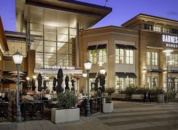
Christiana Mall
Discover the ultimate shopping experience at Christiana Mall in Newark, Delaware, featuring an array of stores, dining, and entertainment for all ages.
-
Shopping mall
Concord Mall
Explore Concord Mall in Wilmington, DE, for a diverse shopping experience with dining and entertainment options for the entire family.
-
Shopping mall
Dover Mall
Discover endless shopping, dining, and entertainment at Dover Mall, Delaware's premier shopping destination for all visitors.
-
Outlet mall
Tanger Rehoboth Beach - Surfside
Discover unbeatable savings at Tanger Rehoboth Beach - Surfside, the premier outlet mall for fashion and lifestyle brands in coastal Delaware.

Get your free copy of our complete guide to The Delaware Bayshore, delivered straight to you.
Everything on this page, from attractions and restaurants to essentials and local phrases, in one PDF you can read offline, print or share.
Already have an account? Sign in
Your The Delaware Bayshore guide is ready.
We'll send it to · Not you? Sign out

Getting your guide ready…
We are putting together a fresh copy of the The Delaware Bayshore guide. This can take up to a minute.
This can take a few moments. If your browser asks, choose Allow so the download can start. You'll find the guide in your Downloads folder.
Nothing happened? Download it again
Sorry, the guide is taking longer than usual. Please try again in a minute, or get it by email instead.
The Delaware Bayshore essentials
Currency and Payment
Safety
Emergency Situations
Do's and Don'ts
Local Tips
From Eve
Local phrases worth knowing
You don't need to get them perfect. A few words go a long way, and locals appreciate the effort.
Basics
| English | Local | Say it |
|---|---|---|
| Hello | Howdy | [Ha-dee] |
| Goodbye | See ya | [See ya] |
| Yes | Yup | [Yup] |
| No | Nah | [Nah] |
| Please/You're welcome | Sure thing | [Shur thing] |
| Thank you | Thanks a lot | [Thanks a lot] |
| Excuse me/Sorry | Pardon me | [Pardon me] |
| How are you? | How ya doin'? | [How ya doin'?] |
| Fine. And you? | Good, and you? | [Good, and you?] |
| Do you speak English? | Ya speakin' English? | [Ya speakin' English?] |
| I don't understand | I ain't gettin' it | [I ain't gettin' it] |
Eating & Drinking
| English | Local | Say it |
|---|---|---|
| I'd like to see the menu, please | Can I see the menu, please? | [Can I see the menu, please?] |
| I don't eat meat | I don't do meat | [I don't do meat] |
| Cheers! | Cheers! | [Cheers!] |
| I would like to pay, please | Can I get the check, please? | [Can I get the check, please?] |
Emergencies
| English | Local | Say it |
|---|---|---|
| Help! | Help! | [Help!] |
| Go away! | Scram! | [Scram!] |
| Call the Police! | Call the cops! | [Call the cops!] |
| Call a doctor! | Get me a doctor! | [Get me a doctor!] |
| I'm lost | I’m all turned around | [I’m all turned around] |
| I'm ill | I ain't feelin' well | [I ain't feelin' well] |
Shopping
| English | Local | Say it |
|---|---|---|
| I'd like to buy... | I wanna buy... | [I wanna buy...] |
| I'm just looking | Just browsin' | [Just browsin'] |
| How much is it? | What’s the price? | [What’s the price?] |
| That's too expensive | That’s a bit pricey | [That’s a bit pricey] |
| Can you lower the price? | Can ya bring down the price? | [Can ya bring down the price?] |
Time & Numbers
| English | Local | Say it |
|---|---|---|
| What time is it? | What time ya got? | [What time ya got?] |
| It's one o'clock | It's one o'clock | [It's one o'clock] |
| Half past (10) | Half past ten | [Half past ten] |
| Morning | Mornin' | [Mornin'] |
| Afternoon | Afternoon | [Afternoon] |
| Evening | Evenin' | [Evenin'] |
| Yesterday | Yesterday | [Yesterday] |
| Today | Today | [Today] |
| Tomorrow | Tomorrow | [Tomorrow] |
| 1 | One | [One] |
| 2 | Two | [Two] |
| 3 | Three | [Three] |
| 4 | Four | [Four] |
| 5 | Five | [Five] |
| 6 | Six | [Six] |
| 7 | Seven | [Seven] |
| 8 | Eight | [Eight] |
| 9 | Nine | [Nine] |
| 10 | Ten | [Ten] |
Transport & Directions
| English | Local | Say it |
|---|---|---|
| Where's a/the...? | Where's the...? | [Where's the...?] |
| What's the address? | What’s the address? | [What’s the address?] |
| Can you show me (on the map)? | Can ya show me on the map? | [Can ya show me on the map?] |
| When's the next (bus)? | When's the next bus? | [When's the next bus?] |
| A ticket (to ....) | A ticket to... | [A ticket to...] |
History of The Delaware Bayshore
Indigenous Homelands and Tidal Resources
Before European settlement, the Delaware Bay and its tributaries were used by Indigenous peoples, particularly communities associated with the Lenape, whose homelands extended across the wider Delaware Valley. Rivers, marshes and forests provided fish, shellfish, waterfowl, plants and routes for movement. The bay was not an empty wilderness but a managed cultural landscape shaped by seasonal knowledge and long-established relationships with tidal resources. Modern place names and surviving archaeological evidence only partly reveal this earlier history, while the continuing importance of the estuary makes Indigenous connections essential to understanding the Bayshore.
Dutch, Swedish and English Colonisation
European powers competed for control of the Delaware Valley during the seventeenth century. Dutch and Swedish settlements were followed by English rule under the proprietorship of William Penn and the Lower Counties that became Delaware. Settlements along creeks and navigable waterways developed around farms, mills, landings and small ports rather than large inland towns. The bay’s position between the river and the Atlantic made it important for trade, but tidal conditions, shifting channels and marshy ground strongly influenced where communities could be established.
Agriculture, Landings and Early Commerce
From the colonial period onwards, the Bayshore supported a mixed economy of grain farming, livestock, fishing, timber and waterborne trade. Small landings connected farms and villages to larger ports on the Delaware River and bay, while roads and later canals improved the movement of produce. The region’s low fields required drainage and careful management, and many modern roads still follow routes shaped by historic waterways and farm boundaries. The surviving rural pattern of dispersed settlements and open fields reflects this long relationship between agriculture and maritime commerce.
Bay Fisheries and Maritime Communities
During the nineteenth and early twentieth centuries, fishing, oystering, shad fisheries and related processing became important along the Delaware Bay. Seasonal work linked waterfront communities with markets in Delaware, New Jersey and the wider Mid-Atlantic. Boatbuilding, ice, transport and fish processing added to the maritime economy, although catches and industries changed as stocks, technology, markets and environmental conditions shifted. Places such as Port Penn, Port Mahon, Little Creek and Slaughter Beach retain aspects of this working-waterfront past, even where commercial activity is now more limited than it once was.
Defence of the Delaware River and Bay
The waterway leading towards Philadelphia and Wilmington has long held strategic importance. Fort Delaware, built on Pea Patch Island and strengthened during the nineteenth century, formed part of a defensive system controlling access up the river. During the American Civil War it served as a Union prison camp as well as a military installation. Fort DuPont, established in the late nineteenth century and developed through later periods of American military history, represents a subsequent phase of river defence. Their surviving structures give the Bayshore a visible military dimension.
Conservation and the Modern Bayshore
Twentieth-century changes brought highways, suburban growth, altered fisheries and pressures on wetlands, but they also encouraged large-scale conservation. Bombay Hook National Wildlife Refuge was established in 1937 to protect coastal habitat, followed by Prime Hook National Wildlife Refuge in 1963. State reserves, wildlife management areas and restoration projects now safeguard marshes, impoundments, beaches and tidal creeks. The modern Bayshore is therefore shaped by both human use and conservation, with farming, recreation, wildlife research and habitat protection operating alongside historic communities and working landscapes.
The Delaware Bayshore in Photos
Browse through our photo collection highlighting the charm and character of the destination.
Neighbouring regions of The Delaware Bayshore
The closest regions to The Delaware Bayshore, if you have time for more than one.
-

-
-

-

-


Swipe for more regions
Explore more
Explore more of Delaware
Discover Delaware: From historic sites and serene beaches to culinary delights and scenic parks, this small state offers big experiences for every traveler.
Explore Delaware