Vågehøj Bunker, Kalundborg Travel Guide
Free Guide: Cold War concrete hidden in a grassy hilltop, with broad Storebælt views, maritime horizons and a compact underground radarbunker to explore on Røsnæs.


A brief summary of Vågehøj Bunker
Cold War concrete hidden in a grassy hilltop, with broad Storebælt views, maritime horizons and a compact underground radarbunker to explore on Røsnæs.
Perched on the Røsnæs peninsula near Kalundborg, Vågehøj combines sweeping coastal views with a remarkably well-preserved Cold War radarbunker hidden beneath a grassy hill. From the 55 m high vantage point you look across Storebælt toward Fyn, Samsø and Mols, while underground an exhibition of objects, maps and equipment tells the story of German radar in WWII and the secret Danish radar station that followed. It is a compact but atmospheric stop, blending nature, military history and big-sky seascapes in one easy visit.
On-site amenities
 Information boards
 Trash bins
 Seating areas
Opening hours
- Every dayOpen 24 hours
Opening hours as listed on the venue’s Google Business Profile. Hours can change for services and special events, so check with the venue before you go.
- Address
- 4400 Kalundborg
- Website
Getting there
Car from central Kalundborg
Local bus plus walk from Kalundborg
Cycling from Kalundborg and Røsnæs
Discover more about Vågehøj Bunker
Hilltop on the Edge of West Zealand
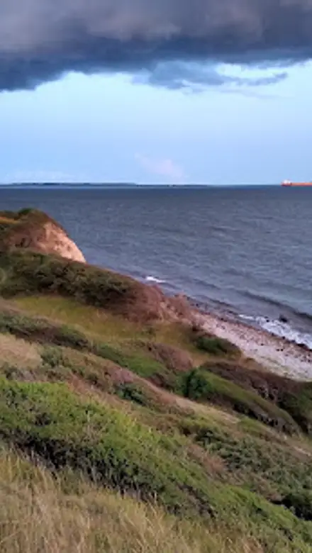
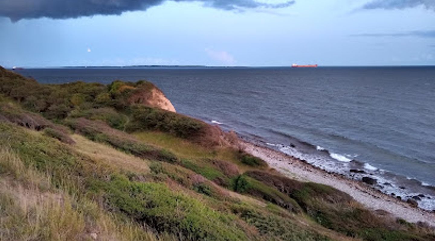
Vågehøj crowns the Røsnæs peninsula just outside Kalundborg, rising to around 55 m above sea level. The hill sits in a gently rolling coastal landscape of fields, scrub and wind-shaped trees, with the sea never far from view. On clear days the panorama stretches to Fyn, Samsø, the Mols hills and the pylons of the Great Belt Bridge, giving a strong sense of how strategically exposed this point of Zealand has always been.The approach brings you through classic Danish coastal nature, with grasses and low shrubs that rustle in the ever-present breeze. At the top, a simple mound and low structures hint at what lies below, while the open sky and the glittering water of Storebælt draw your eyes outward. It feels both remote and remarkably accessible, a small knoll that commands an outsized horizon.
From Beacon Fires to Radar Screens
Long before concrete and radar arrived, this hill served as a lookout over shipping lanes. In earlier centuries, watchmen scanned the horizon for hostile or suspicious vessels. When danger appeared, beacon fires on nearby heights would be lit as warning signals along the coast, turning the landscape into an early alarm system.That tradition of vigilance continued into the 20th century. During the Second World War, the German occupation forces established a radar station on Vågehøj to monitor traffic through Storebælt. After liberation, the site’s importance only grew in the tense early years of the Cold War, when controlling and understanding movement in the strait was vital to Danish and NATO defence planning.
A Secret Cold War Installation
In the early 1950s a new Danish radarbunker was excavated under the hill, reusing heavy doors and air filters from former German facilities. At the time, construction was so secretive that the first Danish soldiers reportedly believed they were taking over a German-built structure. The bunker served as an active radar station from the early 1950s until the mid‑1960s, guiding surveillance of ships and aircraft moving through the Great Belt.Today the underground complex has been repurposed as part of a cultural landscape exhibition about Røsnæs’ military role. Inside, corridors and rooms retain much of their original character, with steel doors, cables and technical fittings hinting at the strict routines that once governed life here. Displayed objects, maps and interpretive panels set the bunker in the broader context of Cold War tensions and coastal defence.
Descending into the Underground Rooms
A modest entrance in the hillside leads you down into cool, concrete-lined spaces where daylight quickly fades. The air feels noticeably different – still, slightly damp, with a faint metallic echo that amplifies footsteps and voices. As you move through the rooms you encounter radar-related equipment, photographs and stories that bring the daily work of monitoring invisible targets to life.The layout is compact, so you can explore at your own pace without feeling rushed. Narrow passages and heavy blast doors remind you that this was once a hardened military facility, carefully engineered to continue operating even in crisis. The bunker environment offers a strong contrast to the light and openness above, making the transition back to the surface all the more striking.
Views, Walks and Coastal Atmosphere
Back outside, the hilltop doubles as a fine viewpoint over Vindekilde and the coastline of Røsnæs. Grassy slopes and nearby paths invite a short stroll, and the ever-changing light over Storebælt makes the site appealing in many seasons. On windy days you feel the full force of the weather, while calm evenings can bring soft colours over the water and clear views far across the strait.Vågehøj is easy to combine with other stops on the peninsula, whether you are following waymarked trails, exploring small coves, or tracing more military remains in the surrounding countryside. Even a brief visit offers a compact mix of nature, history and coastal atmosphere that encapsulates the character of this western edge of Zealand.
Evendo Review Centre
 Google
Guest reviews
Best time to go
Quietest: Jan, Feb & Mar · before 8am or at 8pm
Busy times are Evendo estimates for a typical year, to help you plan. Actual crowds vary with events, school holidays and the weather.
Explore Vågehøj Bunker on the map
A handpicked selection of must-see spots near Vågehøj Bunker, mapped for you.
Get your free copy of our complete guide to Vågehøj Bunker, delivered straight to you.
Everything on this page, from opening hours and how to get there to Eve’s tips and the best time to go, in one PDF you can read offline, print or share.
Already have an account? Sign in
Your Vågehøj Bunker guide is ready.
We'll send it to · Not you? Sign out

Getting your guide ready…
We are putting together a fresh copy of the Vågehøj Bunker guide. This can take up to a minute.
This can take a few moments. If your browser asks, choose Allow so the download can start. You'll find the guide in your Downloads folder.
Nothing happened? Download it again
Sorry, the guide is taking longer than usual. Please try again in a minute, or get it by email instead.
Other nearby places you may find interesting
The closest places of the same kind, if this one is not quite what you had in mind.
-
-
-
-
-


Swipe for more places
More to explore near Vågehøj Bunker

 Best experiences near Vågehøj Bunker
 Best hotels near Vågehøj Bunker
 Best landmarks near Vågehøj Bunker
 Best attractions near Vågehøj Bunker
 Best shops near Vågehøj Bunker
 Best restaurants near Vågehøj Bunker
 Best bars near Vågehøj Bunker
Do you manage this location?
Take control to get all the benefits, like improved information, better appearance, and stronger visibility across AI-powered discovery.
Explore more

Explore more of Kalundborg
Discover Kalundborg, a picturesque Danish town with rich history, stunning landscapes, and a vibrant cultural scene. Perfect for nature lovers and history enthusiasts alike.
Explore Kalundborg
Explore more of Denmark
Discover Denmark: A perfect blend of history, modern design, and the cozy concept of hygge. Explore vibrant cities, serene landscapes, and world-class cuisine.
Explore Denmark