

Free Voyageurs National Park Travel Guide & Mobile App
Explore Voyageurs National Park with free travel guides. Discover regional history, expert tips, proposed trips, and audio guides on web or mobile app.


Voyageurs National Park in Minnesota offers island-studded lakes, boreal wildlife, historic waterways, boating and dark northern skies.
Read more about Voyageurs National Park
When is the best time to visit Voyageurs National Park?
Best: June, August–September · 22–27°C| Month | High (°C) | Rainfall (mm) |
|---|---|---|
| January | -10 | 25 |
| February | -8 | 20 |
| March | 2 | 30 |
| April | 12 | 35 |
| May | 20 | 45 |
| June (best) | 25 | 65 |
| July | 28 | 75 |
| August (best) | 27 | 65 |
| September (best) | 22 | 55 |
| October | 15 | 45 |
| November | 5 | 35 |
| December | -6 | 30 |
Getting to and around Voyageurs National Park
How to get there
Transportation
Destinations in Voyageurs National Park
Resorts, valleys and scenic spots worth a trip of their own.
Swipe for more destinations
Best attractions in Voyageurs National Park
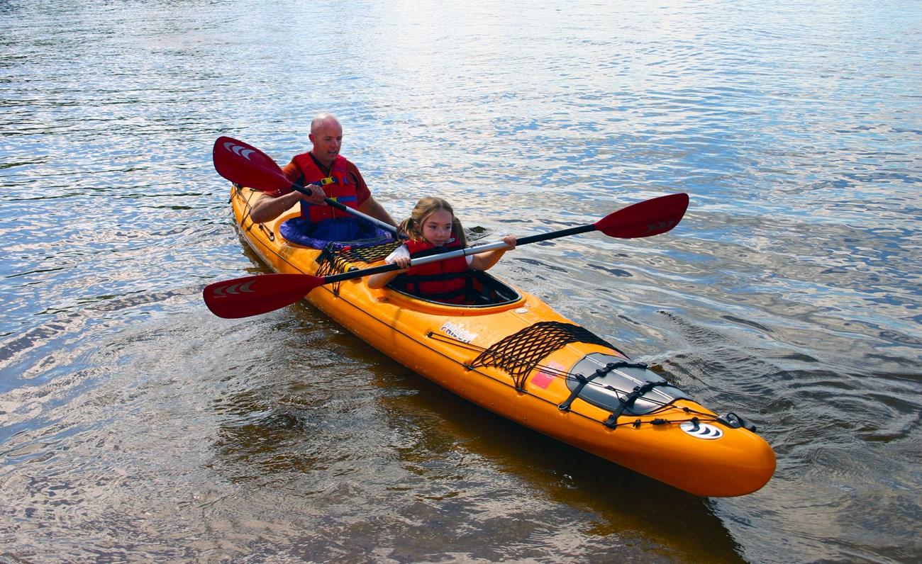
Voyageurs National Park's attractions are organised around water, forest and remoteness. Boat trips, guided cruises, canoeing, kayaking, fishing and houseboat journeys reveal an island-studded landscape that cannot be understood from a roadside viewpoint. The park's visitor centres at Rainy Lake, Kabetogama Lake and Ash River introduce its ecology and history, while trails and boardwalks near selected access points provide shorter land-based walks. Historic places include the Kettle Falls Hotel, surviving cabins and other traces of settlement, logging and commercial travel. Ellsworth Rock Gardens, a remarkable mid-twentieth-century landscape of stone constructions on an island, combines art with the surrounding shoreline. Wildlife watching may include loons, bald eagles, beavers, otters and, with luck, moose or black bears. Winter changes the experience rather than closing the park: snowmobiling, snowshoeing, skiing and ice fishing become possible when conditions are suitable. The night sky, especially over remote water, is itself a major attraction, although cloud, moonlight and solar activity determine what visitors see.
-
Ellsworth Rock Gardens
Explore the serene Ellsworth Rock Gardens in Kabetogama, Minnesota, where stunning landscapes and vibrant flora create a tranquil escape for nature lovers.
-
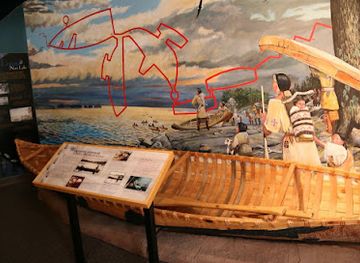
Bois Forte Heritage Center
Explore the cultural legacy of the Bois Forte Band of Chippewa Indians at the Bois Forte Heritage Center, a captivating museum experience in Minnesota.
-
Echo Bay Trail - Voyageurs National Park
Explore the tranquil Echo Bay Trail in Voyageurs National Park, where stunning natural beauty meets serene hiking experiences in Minnesota.
-
Voyageurs National Park Sign
Explore the natural beauty and adventure that awaits at Voyageurs National Park Sign in Orr, Minnesota – a gateway to stunning landscapes and outdoor activities.



Best landmarks in Voyageurs National Park
The park's most recognisable landmarks are often inseparable from its waterways. Kettle Falls Hotel, standing at a historic passage between Namakan and Rainy lakes, represents the era of boat travel, logging and remote resort life; its position gives the site significance beyond its preserved building. Ellsworth Rock Gardens on Lake Kabetogama is another distinctive landmark, where a large collection of stone sculptures and walls occupies a forested island shore. The Rainy Lake, Kabetogama Lake and Ash River visitor centres serve as practical gateways as well as interpretive landmarks, marking the points where road travel gives way to the park's water-based geography. Across the islands and shorelines, exposed granite, narrow channels, abandoned cabins, old docks and portage routes form a dispersed cultural landscape. The broad lake horizons and boreal silhouettes are themselves defining natural landmarks, while the Canadian border across Rainy Lake adds a powerful geographical presence without turning the park into a conventional border monument.
-
Garden
Ellsworth Rock Gardens
Explore the enchanting Ellsworth Rock Gardens in Kabetogama, MN, a scenic spot perfect for nature lovers and photography enthusiasts seeking tranquility.

Explore Voyageurs National Park on the map
Plan your trip on one map. See where the top cities, national parks and sights are, and book hotels and experiences in a few clicks.
Best hotels in Voyageurs National Park
Best restaurants in Voyageurs National Park
Voyageurs National Park has no conventional restaurant district inside its largely water-access wilderness, so dining is centred on gateway communities and lakeside resorts outside the park boundary. International Falls, Ranier, Kabetogama, Ash River and Crane Lake provide the most practical choices, ranging from cafés and casual restaurants to bars, resort dining rooms and provisions for self-catering. Menus commonly reflect northern Minnesota traditions, including freshwater fish, burgers, sandwiches, soups, wild rice and hearty breakfasts, while seasonal establishments may place greater emphasis on locally caught fish and cabin-country cooking. Visitors staying on houseboats or remote campsites should plan groceries, ice, fuel and drinking water before departure; resupply options within the park are limited. Farmers' markets and independent food shops in the wider gateway area can be useful for picnic supplies, although opening patterns vary by season. Dining is generally informal and service customs, including tipping, follow those of the United States rather than a separate park tradition.
-
American
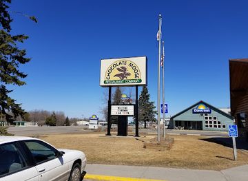
Chocolate Moose Restaurant Company
Experience delectable American cuisine at Chocolate Moose Restaurant Company—where comfort meets flavor in International Falls.
-
Resort hotel
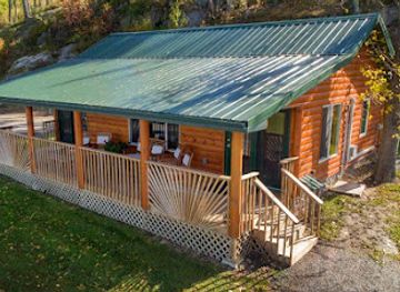
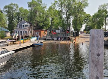
The Pines of Kabetogama
Experience unparalleled nature adventures at The Pines of Kabetogama – your ultimate resort getaway in Minnesota.
-
Visitor center
Lake Kabetogama Visitor Center
Explore Voyageurs National Park from Lake Kabetogama Visitor Center – Your gateway to adventure in Minnesota's stunning wilderness.
-
Brewpub
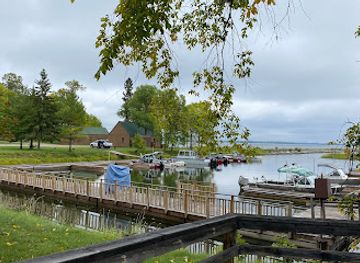
Loony's Pub
Discover the charm of Loony's Pub in Ranier: A cozy brewpub offering creative craft beers and delicious bites in a welcoming atmosphere.
Best bars in Voyageurs National Park
Evening life around Voyageurs is low-key and dispersed rather than club-oriented. Gateway communities outside the park, particularly International Falls, Kabetogama and Crane Lake, offer traditional bars, resort lounges, casual restaurants and occasional live music, while summer resorts may have a more social atmosphere around docks and dining rooms. In the park itself, evenings are usually spent at a campsite, on a houseboat or beneath the dark sky rather than in a venue. Remote accommodation means visitors should not expect late-night transport, extensive choice or reliable mobile service, and boat travel after dark requires particular caution. The region's most distinctive evening activities are watching sunset over the water, listening for loons, photographing stars and looking for the northern lights when conditions are favourable. Drink responsibly, keep noise contained near campsites and never operate a boat while impaired.
-
State park
Bear Head Lake State Park
Explore Bear Head Lake State Park: A serene escape into Minnesota's stunning wilderness with lakes, trails, and abundant wildlife.
-
Hotel
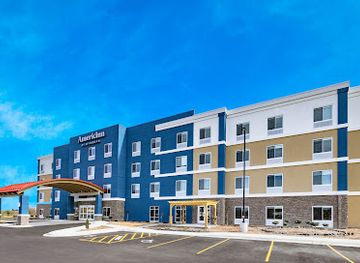
AmericInn by Wyndham International Falls
Stay at AmericInn by Wyndham International Falls for a cozy retreat and easy access to Minnesota's natural attractions and adventures.
-
Resort hotel
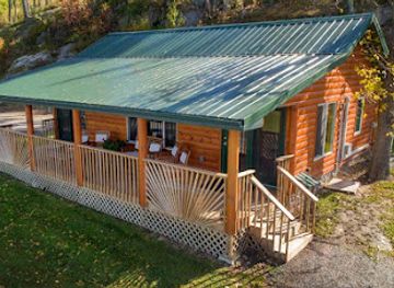
The Pines of Kabetogama
Experience the beauty of nature at The Pines of Kabetogama, a perfect retreat for outdoor adventures and serene relaxation in Minnesota.
-
Loony's Pub
Experience the vibrant atmosphere of Loony's Pub in Ranier, a brewpub with unique craft beers and delicious food in a welcoming environment.

Best shops in Voyageurs National Park
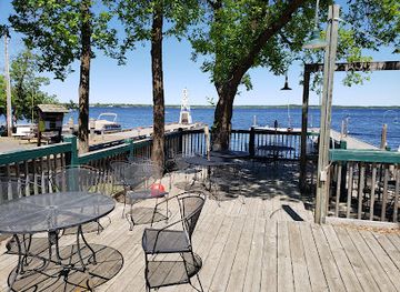
Shopping in the Voyageurs area is practical, local and concentrated in gateway communities outside the park rather than in a single shopping district. International Falls, Kabetogama, Ash River and Crane Lake provide places to obtain fuel, groceries, fishing supplies, outdoor equipment, clothing, maps and provisions for boat or camping trips. Small resort shops and independent businesses may carry postcards, clothing, locally themed gifts and cabin supplies, while galleries and craft outlets in the wider northern Minnesota region can offer wildlife art, photography, woodwork and other work inspired by the boreal landscape. Regional food products, including wild rice and smoked or preserved fish where legally and commercially available, make useful gifts, but travellers should consider customs restrictions when crossing the international border. Stock up before entering the park, since island campsites and remote waterways do not provide dependable retail access and seasonal businesses may have limited operating periods.
-
Nature preserve
Kabetogama State Forest
Discover the natural beauty and outdoor adventures of Kabetogama State Forest, a premier nature preserve in Minnesota, perfect for all nature enthusiasts.
-
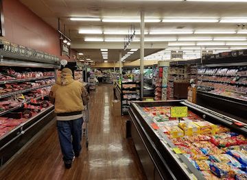
Grocery store
Super One Foods
Discover the flavors of Minnesota at Super One Foods, your local grocery store in International Falls, offering fresh produce, local products, and more.
-
Gift shop
The Pines of Kabetogama
Explore the natural beauty and outdoor adventures at The Pines of Kabetogama, your gateway to fishing, boating, and relaxation in Minnesota's pristine wilderness.
-
Gift shop
Sha Sha Resort
Experience the beauty of Rainy Lake at Sha Sha Resort, your ultimate destination for relaxation, adventure, and memorable escapes.

Get your free copy of our complete guide to Voyageurs National Park, delivered straight to you.
Everything on this page, from attractions and restaurants to essentials and local phrases, in one PDF you can read offline, print or share.
Already have an account? Sign in
Your Voyageurs National Park guide is ready.
We'll send it to · Not you? Sign out

Getting your guide ready…
We are putting together a fresh copy of the Voyageurs National Park guide. This can take up to a minute.
This can take a few moments. If your browser asks, choose Allow so the download can start. You'll find the guide in your Downloads folder.
Nothing happened? Download it again
Sorry, the guide is taking longer than usual. Please try again in a minute, or get it by email instead.
Voyageurs National Park essentials
Currency and Payment
Safety
Emergency Situations
Do's and Don'ts
Local Tips
From Eve
Local phrases worth knowing
You don't need to get them perfect. A few words go a long way, and locals appreciate the effort.
Basics
| English | Local | Say it |
|---|---|---|
| Hello | Boozhoo | [boo-zhoo] |
| Goodbye | Minowáh | [mi-no-wah] |
| Yes | Aaniin | [ah-nee] |
| No | Aaniin ezhichiged | [ah-nee-eh-zhih-gee] |
| Please/You’re welcome | Miigwech | [mee-gwetch] |
| Thank you | Miigwech | [mee-gwetch] |
| Excuse me/Sorry | Giinawind | [gee-nah-wind] |
| How are you? | Aaniin ezhi-ayaayan? | [ah-nee-ih-zhih-ah-yah] |
| Fine. And you? | Niminwendam. Izhinikaaz? | [nee-min-wen-dahm ee-zhih-nee-kahz] |
| Do you speak English? | Gagwe giiwechiwidoon English? | [gah-gweh gee-weh-chi-wih-doon] |
| I don’t understand | Nimino-giizhigad | [nih-mee-noh-gee-zhih-gahd] |
Eating & Drinking
| English | Local | Say it |
|---|---|---|
| I’d like to see the menu, please | Nimino-giizhwem, miigwech | [nih-mee-noh-gee-zhwhem mee-gwetch] |
| I don’t eat meat | Niminwendam naagaj | [nih-min-wen-dahm nah-gahj] |
| Cheers! | Nimishoomis! | [nih-mih-sho-mihs] |
| I would like to pay, please | Nimino-giizhwem, miigwech | [nih-mee-noh-gee-zhwhem mee-gwetch] |
Emergencies
| English | Local | Say it |
|---|---|---|
| Help! | Aaniin! | [ah-nee] |
| Go away! | Dibishkoo! | [di-bish-koh] |
| Call the Police! | Gii-zhichiged gii-gashkigwaad! | [gee-zhih-chi-gehd gee-gahsh-kee-wahd] |
| Call a doctor! | Gii-zhichiged nindinawemaagan! | [gee-zhih-chi-gehd nin-dih-nah-weh-mah-gahn] |
| I’m lost | Nimino-gikendaas | [nih-mee-noh-gee-kihn-dahs] |
| I’m ill | Nimino-bizindam | [nih-mee-noh-bih-zin-dahm] |
Shopping
| English | Local | Say it |
|---|---|---|
| I’d like to buy... | Nimino-giizhwem ... | [nih-mee-noh-gee-zhwhem ...] |
| I’m just looking | Nin giiwechiwidoon | [neen gee-wee-chi-wih-doon] |
| How much is it? | Aaniin gii-bagid? | [ah-nee-ghee-bah-gid] |
| That’s too expensive | Gii-bagid naagaj | [gee-bah-gid nah-gahj] |
| Can you lower the price? | Gagwe gii-bagid gichi-wiikwe | [gah-gweh gee-bah-gid gee-chee-wih-kweh] |
Time & Numbers
| English | Local | Say it |
|---|---|---|
| What time is it? | Aaniin gii-wiikaa? | [ah-nee-ghee-wee-kah] |
| It’s one o’clock | Gii-wiikaa ninigikwe | [gee-wee-kah nih-nih-gih-kweh] |
| Half past (10) | Niniw gii-wiikaa | [nih-nee-wuh gee-wee-kah] |
| Morning | Mino-bimaadiziwin | [mee-noh-bee-mah-dih-zi-win] |
| Afternoon | Mino-bimaadiziwin | [mee-noh-bee-mah-dih-zi-win] |
| Evening | Mino-bimaadiziwin | [mee-noh-bee-mah-dih-zi-win] |
| Yesterday | Gii-nagishkoda | [gee-nah-gih-sko-dah] |
| Today | Mii gii-nagishkoda | [mee gee-nah-gih-sko-dah] |
| Tomorrow | Mii gii-nagishkoda | [mee gee-nah-gih-sko-dah] |
| 1 | Nin | [neen] |
| 2 | Nis | [nees] |
| 3 | Niswi | [nees-wee] |
| 4 | Niiwin | [nee-win] |
| 5 | Ninga | [neen-gah] |
| 6 | Ninig | [nee-nig] |
| 7 | Ninodwa | [nee-noh-dwah] |
| 8 | Ninog | [nee-nohg] |
| 9 | Ninigwa | [nee-nee-gwah] |
| 10 | Niswi | [nees-wee] |
Transport & Directions
| English | Local | Say it |
|---|---|---|
| Where's a/the...? | Aaniin gii-wiikwe ...? | [ah-nee-ghee-wee-kweh ...] |
| What’s the address? | Aaniin gii-bagid gii-nagishkoda? | [ah-nee-ghee-bah-gid gee-nah-gih-sko-dah] |
| Can you show me (on the map)? | Gagwe gii-zhiwii gii-nagishkoda? | [gah-gweh gee-zhi-wee gee-nah-gih-sko-dah] |
| When’s the next (bus)? | Aaniin gii-bagid gii-chi-kwe? | [ah-nee-ghee-bah-gid gee-chee-kweh] |
| A ticket (to ....) | Gii-bagid gii-wiikwe ... | [gee-bah-gid gee-wee-kweh ...] |
History of Voyageurs National Park
Ojibwe Homelands and Water Routes
The lakes and forests of Voyageurs form part of the longstanding homeland and cultural landscape of the Ojibwe, also known as Anishinaabe. Indigenous travellers used canoe routes, portages, fishing places and seasonal camps across the border country for generations before European commercial activity. These waterways were not simply wilderness in the modern sense: they were routes of movement, exchange and subsistence, with knowledge of currents, shorelines, weather and forest resources passed through communities. Visitors should understand the park's historic landscape as one shaped by Indigenous presence rather than as an untouched space awaiting discovery.
The Fur Trade and the Voyageurs
From the late eighteenth century into the nineteenth century, French-Canadian voyageurs carried trade goods and furs through the interconnected lakes and rivers of the northern interior. Their canoe journeys linked Indigenous trading networks with the commercial interests of the North West Company and, later, the Hudson's Bay Company. The term voyageur gave the future national park its name. Portages, camps and waterways associated with this era reveal how difficult and highly organised the fur trade was, although the commercial system also brought major economic and social changes to Indigenous communities.
Logging, Fishing and Settlement
During the late nineteenth and early twentieth centuries, timber harvesting expanded around the Rainy Lake and Namakan country. Sawmills, logging camps, commercial fishing and small homesteads developed alongside the older water routes. The region's forests attracted companies seeking white pine and other timber, while its lakes supported seasonal fisheries and transport. Remnants of cabins, landings and altered shorelines still help explain this period. The economy was closely tied to water because the same lakes that carried logs, people and supplies also separated settlements and made overland travel difficult.
Kettle Falls and the International Border
Kettle Falls, at the narrow connection between Namakan Lake and Rainy Lake, became an important stopping point for boat traffic, logging and regional commerce. The Kettle Falls Hotel, built in the early twentieth century and later preserved, reflects the era when travellers reached the site by water and used it as a remote lodging and social centre. The nearby international boundary is part of the area's geography and history, but the lakes long predate the modern border and continue to form a connected northern landscape with adjacent Ontario.
From Recreation Area to National Park
Growing interest in protecting the interconnected lakes, islands and boreal forests led to federal planning during the twentieth century. Voyageurs National Park was established in 1975, preserving a landscape already marked by Indigenous use, commercial enterprise and settlement rather than creating a completely untouched wilderness. The park's management balances ecological protection with boating, fishing, camping, winter recreation and the interpretation of historic sites. Its creation also secured a large public landscape in a region where access is governed more by water and weather than by roads.
Modern Conservation and Dark-Sky Stewardship
Contemporary Voyageurs is shaped by efforts to protect clean water, wildlife habitat, boreal forests, cultural resources and the qualities of a dark northern sky. The park's island and shoreline ecosystems are sensitive to invasive species, changing climate conditions, shoreline development and visitor pressure. Conservation work now includes monitoring wildlife and water quality, preserving historic structures and encouraging low-impact recreation. The result is a national park where natural processes and human history are interpreted together rather than treated as separate stories.
Voyageurs National Park in Photos
Browse through our photo collection highlighting the charm and character of the destination.
Neighbouring regions of Voyageurs National Park
The closest regions to Voyageurs National Park, if you have time for more than one.
-

-

-

-

-


Swipe for more regions
Explore more

Explore more of Minnesota
Discover Minnesota: From the bustling Twin Cities and cultural landmarks to the serene lakes and expansive wilderness, experience the diverse beauty and welcoming spirit of the North Star State.
Explore Minnesota