

Free Central Nebraska Travel Guide & Mobile App
Explore Central Nebraska with free travel guides. Discover regional history, expert tips, proposed trips, and audio guides on web or mobile app.


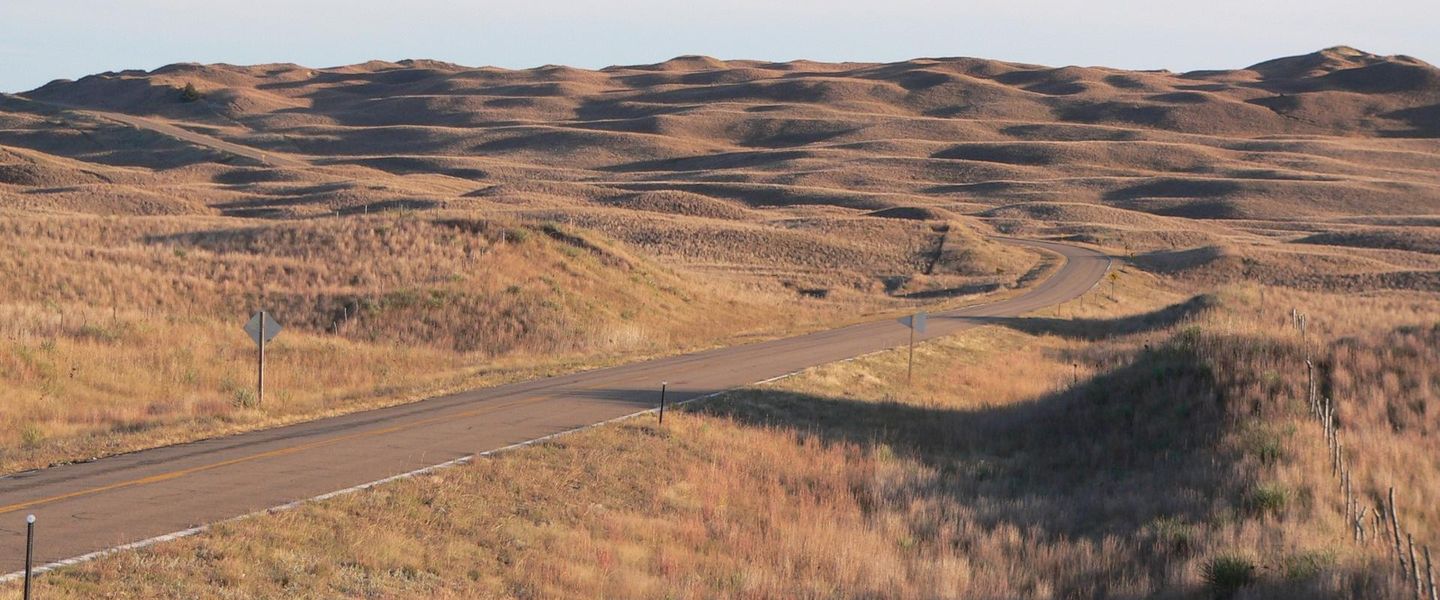


Central Nebraska combines Platte River wildlife, pioneer history, welcoming towns and wide-open prairie landscapes between Grand Island, Kearney and Hastings.
Read more about Central Nebraska
Getting to and around Central Nebraska
How to get there
Transportation
Top city travel guides in Central Nebraska
The cities of Central Nebraska, and the easiest places to base yourself.
-

-

-

-
-


Swipe for more cities
Destinations in Central Nebraska
Resorts, valleys and scenic spots worth a trip of their own.
-

-

-
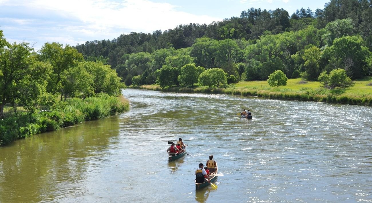 Niobrara National Scenic River
 in Nebraska offers canoeing, waterfalls, fossil-rich cliffs, wildlife and quiet Great Plains landscapes near Valentine.
-
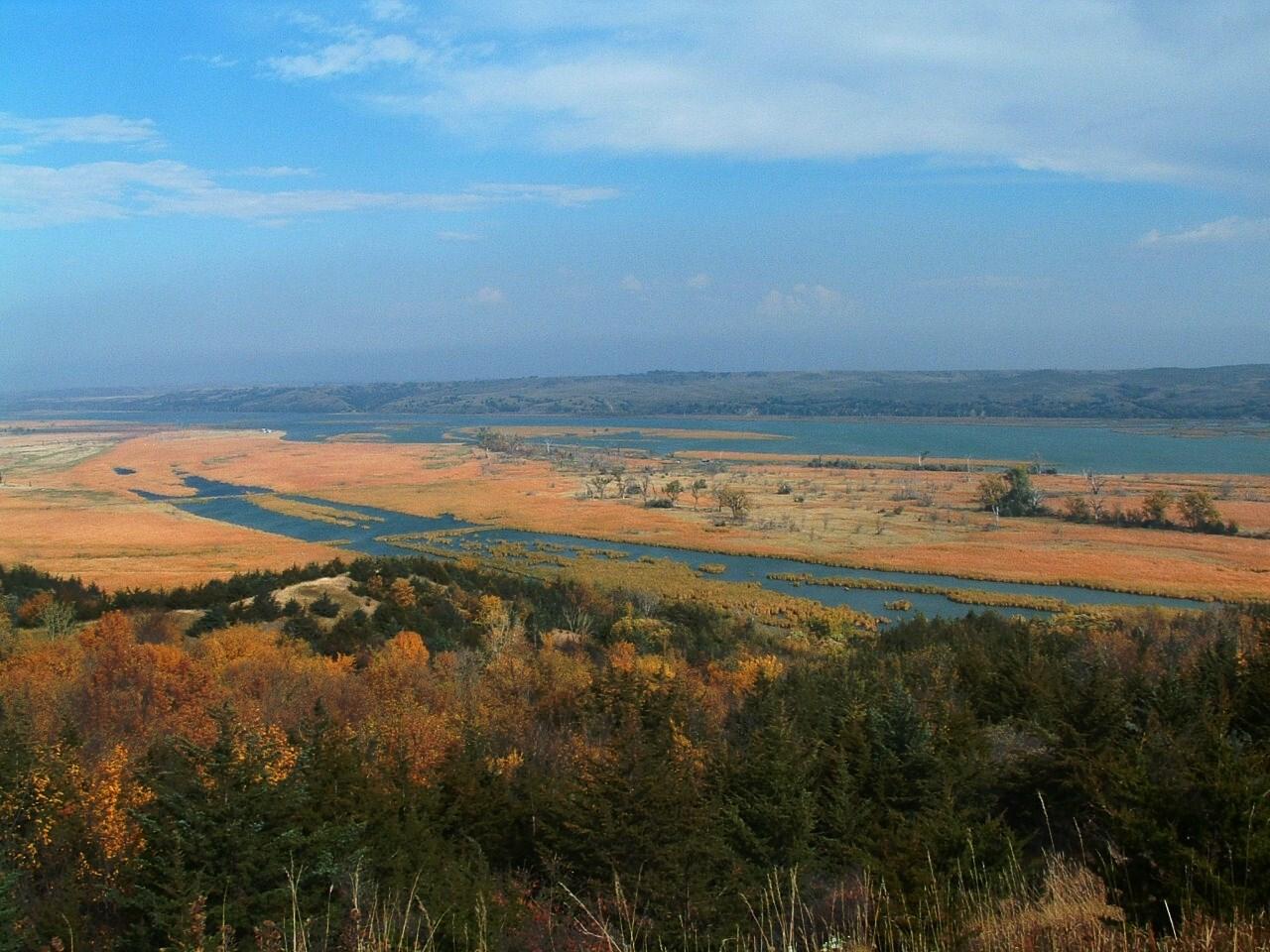 Niobrara River Valley
, Nebraska, offers scenic paddling, Smith Falls, Sandhills wildlife, ranch country and wide-open outdoor adventure in the USA.
-
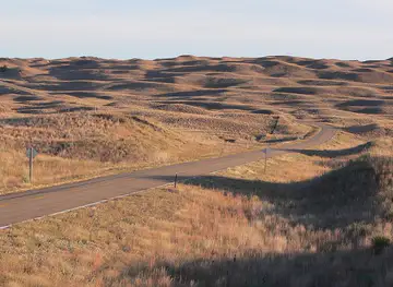


Swipe for more destinations
Best attractions in Central Nebraska
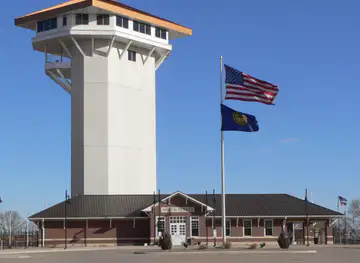
Central Nebraska's attractions follow the Platte River and the history of movement across the Great Plains. Near Kearney, the Great Platte River Road Archway presents an interpretive account of westward travel, while Fort Kearny State Historical Park preserves the setting of the nineteenth-century military post and offers trails, reconstructed features and access to the river landscape. Grand Island's Stuhr Museum of the Prairie Pioneer explores settlement, agriculture and community life through historic buildings, collections and demonstrations. Hastings Museum combines natural-history, cultural and regional displays, including the story of Kool-Aid's development. The Platte valley is also a major wildlife destination. Rowe Sanctuary, the Crane Trust landscape and other viewing areas attract visitors during the spring sandhill crane migration, while nearby prairies and wetlands support year-round birdwatching. Kearney's parks and trails, Grand Island's recreational areas and Hastings's lakes provide opportunities for walking, cycling, fishing and boating. Farther north and west, the landscape gradually approaches the Sandhills, where grassland, ranching and broad skies replace the intensively cultivated river valley.
-
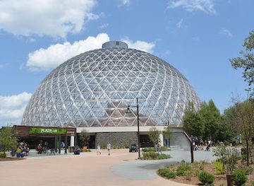
Zoo
Omaha's Henry Doorly Zoo and Aquarium
Experience the breathtaking diversity of wildlife at Omaha's Henry Doorly Zoo and Aquarium, a top-rated destination for families and animal lovers alike.
-
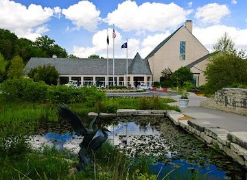
Botanical garden
Lauritzen Gardens
Explore the lush beauty of Lauritzen Gardens, Omaha's premier botanical garden, featuring diverse plant collections and serene landscapes.
-
Children's museum
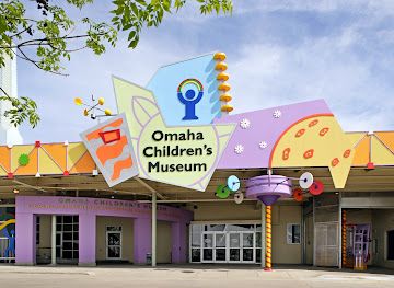
Omaha Children's Museum
Explore creativity and imagination at Omaha Children's Museum, a thrilling children's museum full of interactive exhibits and fun activities for families.
-
State park
Eugene T. Mahoney State Park
Discover the beauty and adventure of Eugene T. Mahoney State Park, the ultimate outdoor destination in Nebraska for nature lovers and families.

Best landmarks in Central Nebraska
-
Tourist attraction
Carhenge
Discover Carhenge, a whimsical tribute to Stonehenge crafted from vintage cars, nestled in the beautiful Sandhills of Nebraska.
-
Historical place
Great Platte River Road Archway Monument
Explore the Great Platte River Road Archway Monument in Kearney, Nebraska, a unique blend of history and culture celebrating America's westward expansion.
-
Monument
Scotts Bluff National Monument
Experience breathtaking views and rich pioneer history at Scotts Bluff National Monument, a must-visit natural landmark in Nebraska.
-
Shopping mall
Conestoga Mall
Explore Conestoga Mall in Grand Island, Nebraska – a premier shopping destination with diverse retail options, dining, and entertainment for everyone.


Explore Central Nebraska on the map
Plan your trip on one map. See where the top cities, national parks and sights are, and book hotels and experiences in a few clicks.
Best hotels in Central Nebraska
Best restaurants in Central Nebraska
Dining in Central Nebraska reflects the region's agricultural economy, highway connections and small-town communities rather than a single highly specialised cuisine. Kearney, Grand Island and Hastings offer the broadest choice, including independent cafés, family restaurants, steakhouses, Mexican and Asian cooking, bakeries and contemporary dining rooms. Along the Platte valley, diners and local cafés are useful places for substantial breakfasts, burgers, sandwiches and daily specials, while rural communities often centre their food culture on cafés, taverns and community events. Nebraska beef is widely represented, alongside pork, poultry, corn and other products associated with the state's farms. Farmers' markets and seasonal stands can provide fruit, vegetables, baked goods and locally made preserves, though availability depends on the time of year. Hastings has a particularly visible connection with Kool-Aid, while regional menus more broadly reflect Midwestern comfort food, generous portions and practical road-trip dining. Craft beer and locally focused drinks are increasingly available in the larger towns.
-
American
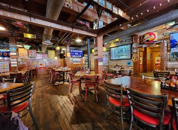
Buzzard Billy's
Experience the best of American and Creole cuisine at Buzzard Billy's in downtown Lincoln – a vibrant dining destination filled with flavor and fun.
-
American
LeadBelly
Experience LeadBelly: where unique flavors meet a vibrant atmosphere in downtown Lincoln's favorite American restaurant.
-
Hamburger
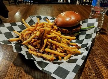
Honest Abe's - Downtown
Discover Lincoln's best burger joint at Honest Abe's - Downtown with unique flavors and an inviting atmosphere.
-
American
Engine House Cafe
Engine House Cafe: Savor Delicious American Breakfasts in Lincoln's Cozy Diner Atmosphere.

Best bars in Central Nebraska
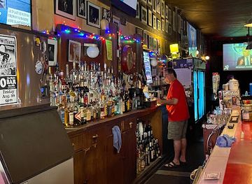
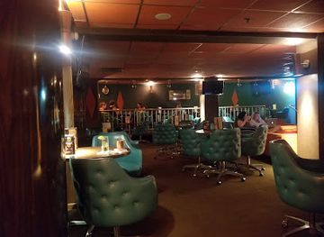
Evening life in Central Nebraska is concentrated in Kearney, Grand Island and Hastings, with smaller communities relying mainly on neighbourhood bars, restaurants, cafés and occasional live music. Traditional pubs and taverns remain important social venues, while the larger towns also have breweries, cocktail-focused bars and establishments linked to local dining scenes. Kearney's student population contributes to a more active evening atmosphere during the academic year, although the region does not have a major, late-night nightclub culture comparable with a large metropolitan centre. Grand Island offers a wider range of casual bars, music and community events, while Hastings is suited to relaxed evenings around its historic centre and local restaurants. In rural areas, closing times and transport options can be limited, so plan a safe journey in advance and do not treat drinking as the principal way to experience the region's night-time character.
-
Cocktail bar
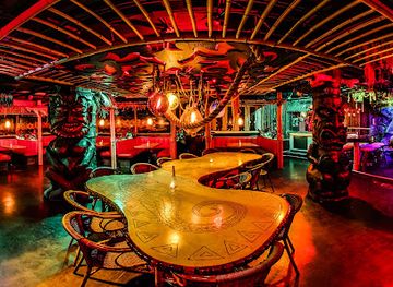
Laka Lono Rum Club
Experience the tropical vibes of Laka Lono Rum Club in Omaha, a cocktail bar renowned for its unique rum selection and vibrant atmosphere.
-
Bar
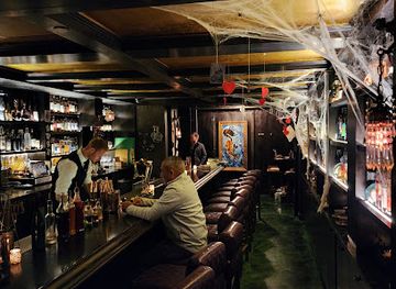
Wicked Rabbit
Discover Wicked Rabbit in Downtown Omaha, where unique cocktails meet a friendly atmosphere, perfect for a memorable night out.
-
Cocktail bar
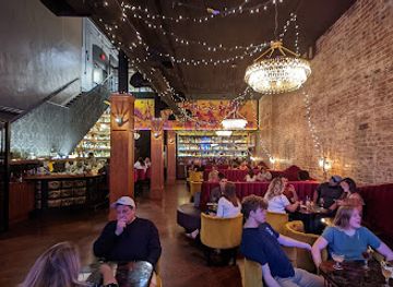
The Berry & Rye
Discover the vibrant nightlife of Omaha at The Berry & Rye, a cocktail bar offering innovative drinks and a unique atmosphere.
-
Grill
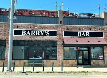
Barry's The Nebraska Bar
Experience the vibrant atmosphere of Barry's The Nebraska Bar, where delicious grill food meets live music and local culture in Lincoln, Nebraska.
Best nightclubs in Central Nebraska
Evening life in Central Nebraska is concentrated in Kearney, Grand Island and Hastings, with smaller communities relying mainly on neighbourhood bars, restaurants, cafés and occasional live music. Traditional pubs and taverns remain important social venues, while the larger towns also have breweries, cocktail-focused bars and establishments linked to local dining scenes. Kearney's student population contributes to a more active evening atmosphere during the academic year, although the region does not have a major, late-night nightclub culture comparable with a large metropolitan centre. Grand Island offers a wider range of casual bars, music and community events, while Hastings is suited to relaxed evenings around its historic centre and local restaurants. In rural areas, closing times and transport options can be limited, so plan a safe journey in advance and do not treat drinking as the principal way to experience the region's night-time character.
-
Bar
Zoo Bar
Experience Lincoln's vibrant nightlife at Zoo Bar, where live music and great drinks create unforgettable memories in the heart of downtown.
-
Lounge
Starlite Lounge & Banquet Room
Discover the lively Starlite Lounge & Banquet Room in Lincoln, Nebraska, where eclectic cocktails and vibrant events create unforgettable experiences.
-
Bar
The Other Room
Discover the vibrant cocktail culture at The Other Room, Lincoln's upscale bar and lounge offering creative drinks and a stylish atmosphere.
-
Bar
Sand Hills Lounge
Experience the warm ambiance of Sand Hills Lounge, a must-visit bar in Long Pine, Nebraska, famous for its delicious food and friendly atmosphere.


Best shops in Central Nebraska
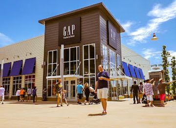
Shopping in Central Nebraska is centred on the main streets and retail districts of Kearney, Grand Island and Hastings, with larger national stores and practical services generally found near their commercial corridors. Independent shops offer clothing, books, gifts, antiques, home goods and locally made items, while galleries and craft outlets can be found in the larger communities and during seasonal events. Farmers' markets and roadside stands provide opportunities to buy produce, baked goods, preserves and other regional foods when in season. Western wear, prairie-themed gifts and products associated with Nebraska agriculture are common practical souvenirs, while Kool-Aid memorabilia gives Hastings a particularly recognisable local connection. Kearney's proximity to the Platte and its visitor attractions supports a selection of outdoor and travel-oriented goods, whereas smaller towns are better for browsing local businesses than for extensive retail. Check market days and seasonal opening arrangements locally, as many smaller vendors operate only at particular times of year.
-
Shopping mall
Nebraska Crossing
Explore Nebraska Crossing, the premier outlet mall in Gretna, NE, offering fantastic shopping, dining, and family-friendly activities for an unforgettable experience.
-
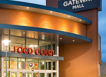
Shopping mall
Gateway Mall
Explore Gateway Mall in Lincoln, Nebraska – your ultimate shopping destination with diverse stores, dining, and entertainment for all ages.
-
Shopping mall
Shadow Lake Towne Center
Experience the best of shopping, dining, and entertainment at Shadow Lake Towne Center in Papillion, Nebraska, a perfect spot for tourists and locals alike.
-
Shopping mall
Conestoga Mall
Discover the ultimate shopping experience at Conestoga Mall in Grand Island, Nebraska, with diverse stores and delightful dining options.

Get your free copy of our complete guide to Central Nebraska, delivered straight to you.
Everything on this page, from attractions and restaurants to essentials and local phrases, in one PDF you can read offline, print or share.
Already have an account? Sign in
Your Central Nebraska guide is ready.
We'll send it to · Not you? Sign out

Getting your guide ready…
We are putting together a fresh copy of the Central Nebraska guide. This can take up to a minute.
This can take a few moments. If your browser asks, choose Allow so the download can start. You'll find the guide in your Downloads folder.
Nothing happened? Download it again
Sorry, the guide is taking longer than usual. Please try again in a minute, or get it by email instead.
Central Nebraska essentials
Currency and Payment
Safety
Emergency Situations
Do's and Don'ts
Local Tips
From Eve
Local phrases worth knowing
You don't need to get them perfect. A few words go a long way, and locals appreciate the effort.
Basics
| English | Local | Say it |
|---|---|---|
| Hello | Howdy | [haʊdi] |
| Goodbye | See ya | [si jə] |
| Yes | Yep | [jɛp] |
| No | Nah | [nɑ] |
| Please/You're welcome | Please | [pliz] |
| Thank you | Thanks | [θæŋks] |
| Excuse me/Sorry | Excuse me | [ɪkˈskjuːz mi] |
| How are you? | How are ya? | [haʊ ɑːr jə] |
| Fine. And you? | Good. And you? | [ɡʊd. ənd jə] |
| Do you speak English? | Do ya speak English? | [du jə spiːk ˈɪŋɡlɪʃ] |
| I don't understand | I don’t get it | [aɪ doʊnt ɡɛt ɪt] |
Eating & Drinking
| English | Local | Say it |
|---|---|---|
| I'd like to see the menu, please | Can I see the menu, please? | [kæn aɪ si ðə ˈmɛnjuː pliz] |
| I don't eat meat | I don’t eat meat | [aɪ doʊnt iːt miːt] |
| Cheers! | Cheers! | [ʧɪrz] |
| I would like to pay, please | I’d like to pay, please | [aɪd laɪk tu peɪ pliz] |
Emergencies
| English | Local | Say it |
|---|---|---|
| Help! | Help! | [hɛlp] |
| Go away! | Get lost! | [ɡɛt lɔst] |
| Call the Police! | Call 911! | [kɔl naɪn wʌn wʌn] |
| Call a doctor! | Get a doctor! | [ɡɛt ə ˈdɑktər] |
| I'm lost | I’m lost | [aɪm lɔst] |
| I'm ill | I’m sick | [aɪm sɪk] |
Shopping
| English | Local | Say it |
|---|---|---|
| I'd like to buy... | I want to buy... | [aɪ wɑnt tu baɪ] |
| I'm just looking | Just looking | [dʒʌst ˈlʊkɪŋ] |
| How much is it? | What’s the price? | [wʌts ðə praɪs] |
| That's too expensive | That's too high | [ðæts tu haɪ] |
| Can you lower the price? | Can you make it cheaper? | [kæn jə meɪk ɪt ˈʧipər] |
Time & Numbers
| English | Local | Say it |
|---|---|---|
| What time is it? | What time is it? | [wʌt taɪm ɪz ɪt] |
| It's one o'clock | It's one o'clock | [ɪts wʌn əˈklɑk] |
| Half past (10) | Half past ten | [hæf pæst tɛn] |
| Morning | Morning | [ˈmɔrnɪŋ] |
| Afternoon | Afternoon | [ˌæftərˈnun] |
| Evening | Evening | [ˈivnɪŋ] |
| Yesterday | Yesterday | [ˈjɛstərdeɪ] |
| Today | Today | [təˈdeɪ] |
| Tomorrow | Tomorrow | [təˈmɑroʊ] |
| 1 | One | [wʌn] |
| 2 | Two | [tu] |
| 3 | Three | [θri] |
| 4 | Four | [fɔr] |
| 5 | Five | [faɪv] |
| 6 | Six | [sɪks] |
| 7 | Seven | [ˈsɛvən] |
| 8 | Eight | [eɪt] |
| 9 | Nine | [naɪn] |
| 10 | Ten | [tɛn] |
Transport & Directions
| English | Local | Say it |
|---|---|---|
| Where's a/the...? | Where's the...? | [wɛrz ðə] |
| What's the address? | What’s the address? | [wʌts ði əˈdrɛs] |
| Can you show me (on the map)? | Can you show me on the map? | [kæn jə ʃoʊ mi ɑn ðə mæp] |
| When's the next (bus)? | When's the next bus? | [wɛn z ðə nɛkst bʌs] |
| A ticket (to ....) | A ticket to ... | [ə ˈtɪkɪt tu ...] |
History of Central Nebraska
Indigenous Peoples and the Platte Valley
Long before Euro-American settlement, the Platte valley was used by Indigenous peoples for movement, hunting, trade and seasonal occupation. Pawnee communities had deep connections with the central Nebraska plains, while other peoples travelled through or used the wider region at different periods. The river, grasslands and wetlands supported bison and migratory wildlife, and the valley's east-west orientation made it a natural corridor across the Great Plains. Modern museums and interpretive sites increasingly place the nineteenth-century trails and forts within this much longer Indigenous history.
The Great Platte River Road
During the nineteenth century, the Platte valley became one of the principal overland routes across the continent. Emigrants travelling the Oregon, California and Mormon trails followed the river because it offered relatively reliable water, grass and a navigable route through the plains. Their journeys passed through the area now associated with central Nebraska, leaving behind trail ruts, diaries and archaeological evidence. The route's importance connected the region to the wider transformation of the United States, but it also intensified pressure on Indigenous communities and prairie resources.
Fort Kearny and Frontier Administration
Established in 1848 near the present-day city of Kearney, Fort Kearny was a United States military post on the Platte River road. It protected travellers, provided a stopping and supply point, and helped regulate movement along a route used by emigrants, traders and the Pony Express. The fort was not a large permanent city, but its presence reflected the federal expansion of military and transport infrastructure across the plains. Fort Kearny State Historical Park now preserves the site's setting and interprets its role in the overland era.
Railways, Towns and Agricultural Settlement
Railway construction in the late nineteenth century altered central Nebraska more permanently than the overland trails had done. The Union Pacific line along the Platte established or strengthened towns including Kearney and Grand Island, while branch lines supported communities farther south and north. Rail access encouraged immigration, commercial farming, grain handling and the growth of local institutions. Many town centres, depots and civic buildings still reflect this period, although later highways and changes in agriculture have reshaped how the region works and travels.
Irrigation and the Agricultural Economy
Central Nebraska's farms developed within a landscape shaped by the Platte River, groundwater and irrigation. Twentieth-century investment in canals, wells and later centre-pivot systems made it possible to cultivate large areas of corn, soybeans and other crops despite the plains climate. Agriculture supported elevators, equipment businesses, livestock operations and food-processing employment in the region's towns. The same water systems also created or sustained wetlands and recreational lakes, making water management both an economic foundation and an environmental issue.
Kool-Aid and Hastings Industry
Hastings became associated with Kool-Aid after Edwin Perkins developed the powdered soft-drink product there in the 1920s. The product was manufactured and marketed from Hastings before production later moved elsewhere, and its story remains part of the city's civic identity through the Hastings Museum and local interpretation. The episode illustrates the importance of small-town enterprise, mail-order commerce and regional manufacturing in twentieth-century Nebraska. It also shows how a nationally familiar product can remain closely connected with a particular central Nebraska community.
Modern Conservation and the Platte Flyway
In the late twentieth and early twenty-first centuries, conservation organisations, landowners and public agencies placed increasing emphasis on the Platte's wetlands, woodland and sandbar habitat. The river is a crucial stopover for migratory birds, especially sandhill cranes, and its ecological importance has encouraged habitat restoration and responsible wildlife tourism. Places such as Rowe Sanctuary and the Crane Trust reflect this newer phase of regional history, in which the Platte is understood not only as a transport and agricultural corridor but also as a major natural system requiring careful stewardship.
Central Nebraska in Photos
Browse through our photo collection highlighting the charm and character of the destination.
Neighbouring regions of Central Nebraska
The closest regions to Central Nebraska, if you have time for more than one.
-
-

-
-

-


Swipe for more regions
Explore more

Explore more of Nebraska
Discover Nebraska: A blend of rich history, diverse landscapes, and unique attractions in the heartland of America.
Explore Nebraska