

Free Lake Erie Islands Travel Guide & Mobile App
Explore Lake Erie Islands with free travel guides. Discover regional history, expert tips, proposed trips, and audio guides on web or mobile app.


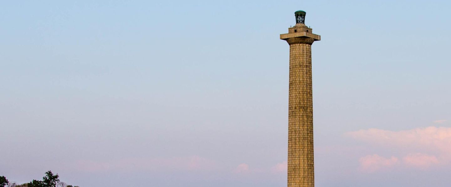


Explore Ohio’s Lake Erie Islands for limestone geology, lake history, ferries, cycling, nature, wineries and the lively harbour town of Put-in-Bay.
Read more about Lake Erie Islands
Getting to and around Lake Erie Islands
How to get there
Transportation
Destinations in Lake Erie Islands
Resorts, valleys and scenic spots worth a trip of their own.
-

-


Swipe for more destinations
Best attractions in Lake Erie Islands
The islands offer a compact but varied collection of attractions shaped by water, geology and seasonal settlement. On South Bass, visitors can combine the Perry’s Victory and International Peace Memorial with the Lake Erie Islands Historical Society Museum, harbour walks, wineries, nature trails and the energetic visitor scene around Put-in-Bay. Kelleys Island is the principal destination for geological exploration, with its glacial grooves, exposed limestone, state-park trails, beaches and wetlands. Middle Bass Island State Park provides a quieter setting for swimming, boating, picnicking and shoreline recreation, while the island’s vineyards reflect its agricultural history. North Bass is more rural and lightly developed, appealing primarily to visitors interested in island landscapes and maritime character. Across the archipelago, boating, fishing, kayaking, cycling, birdwatching and stargazing are important experiences, but many depend on weather and seasonal access. The attraction landscape is therefore less about a long list of formal venues than about moving between historic villages, protected shorelines, working docks and distinctive geological features.
-
Amusement park
Cedar Point
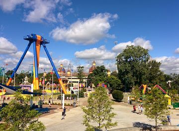
Experience the ultimate thrill at Cedar Point, the world-renowned amusement park featuring spectacular rides, family fun, and stunning views of Lake Erie.
-
Maumee Bay State Park
Explore the breathtaking landscapes and recreational activities at Maumee Bay State Park, a top destination for nature lovers on Lake Erie.
-
African Safari Wildlife Park
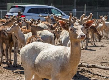
Explore the African Safari Wildlife Park in Ohio for an unforgettable adventure with exotic animals, educational experiences, and picturesque landscapes.
-
State park
East Harbor State Park
Explore East Harbor State Park: A serene lakeside retreat with stunning landscapes, diverse wildlife, and endless outdoor activities in Ohio.


Best landmarks in Lake Erie Islands
Perry’s Victory and International Peace Memorial is the islands’ most recognisable landmark, rising above South Bass to commemorate the Battle of Lake Erie and the long peace between the United States, Britain and Canada. Its Doric column gives Put-in-Bay a strong visual focal point and links the modern resort to the decisive naval history of 1813. On Kelleys Island, the glacial grooves are a landmark of a different kind: deep linear channels cut into limestone by moving ice, offering direct evidence of the geological forces that shaped the western basin of Lake Erie. Kelleys Island’s historic village streets, churches and nineteenth-century homes preserve the appearance of an established island community, while old quarry landscapes record the importance of limestone extraction. The harbour, docks and waterfront buildings of Put-in-Bay express the continuing importance of ferries, boating and seasonal commerce. Middle Bass Island’s wooded shoreline and state-park waterfront provide a quieter natural counterpoint, while the open lake itself forms the archipelago’s defining geographical landmark.
-
State park
Maumee Bay State Park
Explore the diverse landscapes, serene beaches, and rich wildlife of Maumee Bay State Park, a must-visit destination on Lake Erie.
-
Wildlife and safari park
African Safari Wildlife Park
Explore African Safari Wildlife Park in Port Clinton, Ohio, a thrilling wildlife adventure with exotic animals and immersive experiences for the whole family.
-
State park
East Harbor State Park
Explore the natural beauty of East Harbor State Park, a scenic paradise on Lake Erie offering outdoor adventures for the entire family.
-
Memorial park
Perry's Victory & International Peace Memorial
Explore Perry's Victory & International Peace Memorial, a historic tribute in Ohio celebrating peace and commemorating the War of 1812 with stunning views of Lake Erie.


Explore Lake Erie Islands on the map
Plan your trip on one map. See where the top cities, national parks and sights are, and book hotels and experiences in a few clicks.
Best hotels in Lake Erie Islands
Best restaurants in Lake Erie Islands
Island dining is strongly seasonal and concentrated around ferry ports, village centres, marinas and resort areas. Put-in-Bay has the broadest choice, from casual waterfront meals and pizza to American restaurant cooking, bars, cafés and ice-cream shops, while Kelleys Island offers a smaller selection of restaurants, taverns and seasonal eateries. Middle Bass caters particularly to marina users, residents and visitors seeking relaxed meals rather than an extensive restaurant circuit. Menus commonly reflect the lake setting through fish, sandwiches, salads, burgers and other casual fare, alongside Ohio products and familiar American dishes. Local wineries provide opportunities to sample island-grown or regional wines, although production and availability vary by season. Farmers, vineyards and small food businesses contribute to the islands’ agricultural identity, but visitors should not expect mainland supermarket choice. Checking seasonal opening arrangements and carrying snacks or breakfast supplies is sensible, especially when staying on Middle Bass or North Bass.
-
Seafood
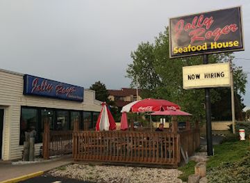
Jolly Rogers Seafood House
Experience mouthwatering seafood at Jolly Rogers Seafood House with stunning Lake Erie views in Port Clinton, Ohio.
-
Grill
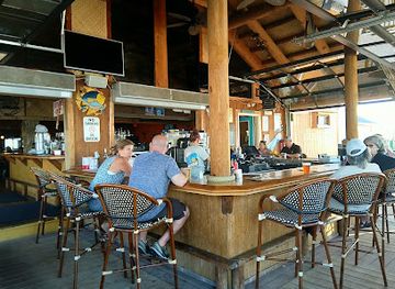
Dock's Beach House Restaurant
Experience unforgettable dining at Dock's Beach House with stunning lake views and delicious grill favorites in Port Clinton.
-
Seafood
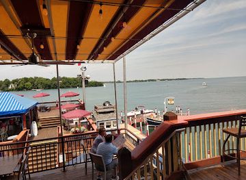
The Boardwalk
Experience exquisite seafood dining at The Boardwalk in Put-In-Bay with stunning views of Lake Erie and vibrant ambiance.
-
Italian
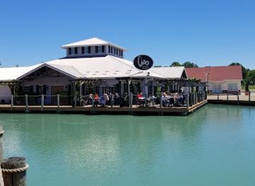
Ciao Bella
Experience authentic Italian cuisine at Ciao Bella in Port Clinton - where delicious food meets warm hospitality.
Best bars in Lake Erie Islands
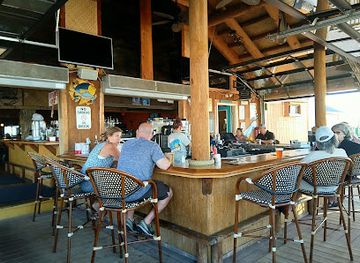
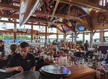
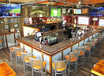
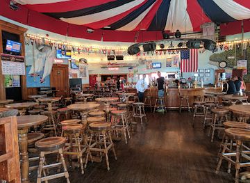
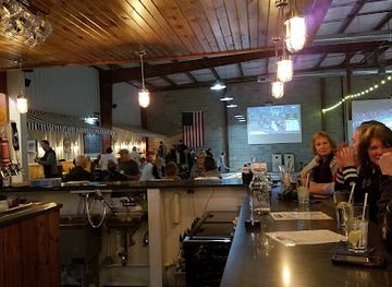
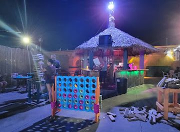
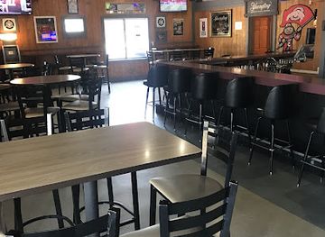
Nightlife is concentrated overwhelmingly on South Bass, particularly around Put-in-Bay’s harbour and village streets, where seasonal bars, pubs, restaurants with evening service, live entertainment and waterfront venues attract summer visitors. The atmosphere can be busy and youthful at peak weekends, while other evenings are more relaxed. Kelleys Island has a modest pub and tavern culture, often centred on casual dining, local conversation and waterfront settings rather than late-night clubbing. Middle Bass and North Bass are quieter, with evenings generally focused on restaurants, marina communities, private gatherings and accommodation-based relaxation. Some wineries and breweries offer tastings or social spaces, but opening patterns are seasonal and should be checked before travelling. Visitors using ferries should plan their return carefully, since evening transport between islands and the mainland is more limited than daytime service and weather can disrupt crossings.
-
Grill
Dock's Beach House Restaurant
Experience the delightful flavors of grilled cuisine at Dock's Beach House Restaurant, a lakeside dining gem in Port Clinton, Ohio.
-
Seafood
The Boardwalk
Discover exquisite seafood and stunning views at The Boardwalk in Put-In-Bay, Ohio – a culinary haven for seafood enthusiasts.
-
American
Crow's Nest
Savor the best of American cuisine at Crow's Nest in Lakeside Marblehead, a family-friendly restaurant with a cozy atmosphere.
-
Bar
The Roundhouse Bar
Experience the vibrant atmosphere of The Roundhouse Bar in Put-In-Bay, where live music and refreshing drinks create unforgettable moments.
Best nightclubs in Lake Erie Islands
Nightlife is concentrated overwhelmingly on South Bass, particularly around Put-in-Bay’s harbour and village streets, where seasonal bars, pubs, restaurants with evening service, live entertainment and waterfront venues attract summer visitors. The atmosphere can be busy and youthful at peak weekends, while other evenings are more relaxed. Kelleys Island has a modest pub and tavern culture, often centred on casual dining, local conversation and waterfront settings rather than late-night clubbing. Middle Bass and North Bass are quieter, with evenings generally focused on restaurants, marina communities, private gatherings and accommodation-based relaxation. Some wineries and breweries offer tastings or social spaces, but opening patterns are seasonal and should be checked before travelling. Visitors using ferries should plan their return carefully, since evening transport between islands and the mainland is more limited than daytime service and weather can disrupt crossings.
-
Restaurant
The Bay Restaurant & Nightclub
Experience the vibrant fusion of dining and nightlife at The Bay Restaurant & Nightclub in Toledo, where great food meets unforgettable entertainment.
-
Bar
The Erie Social Shuffleboard Club and Bar
Experience family fun and sports excitement at The Erie Social Shuffleboard Club and Bar in Lakeside Marblehead, Ohio.
-
Bar
The Cove at Louie's Bar
Experience the vibrant atmosphere and delicious bar fare at The Cove at Louie's Bar, a perfect waterfront retreat in Sandusky, Ohio.
-
Cocktail bar
Excuses Lounge
Discover Excuses Lounge, a welcoming cocktail bar in Sandusky, Ohio, where great drinks and a laid-back atmosphere await every visitor.

Best shops in Lake Erie Islands
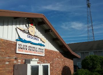
Shopping on the Lake Erie Islands is small-scale, seasonal and closely tied to visitor districts. Put-in-Bay has the widest range of souvenir shops, clothing outlets, gift stores, art and craft businesses, food retailers and establishments selling island-themed merchandise. Kelleys Island offers a more modest selection of galleries, gifts, local products and practical supplies around its village and landing areas. On South Bass and Middle Bass, visitors can look for wines, regional foods, handmade items, nautical goods and locally themed gifts, although stock and opening arrangements change through the year. Farmers and vineyards give the islands an agricultural dimension, but regular farmers’ markets should not be assumed outside their published season. North Bass has very limited retail provision and is not a shopping destination. Because ferry delays and limited island inventories are possible, buy medicines, specialist outdoor equipment and substantial groceries on the mainland before crossing.
-
Grocery store
Island General Store
Explore the charm of Put-In-Bay at Island General Store, your one-stop shop for local products and island essentials.
-
Gift shop
Kelleys Island General Store
Kelleys Island General Store: Your one-stop shop for local treasures, unique gifts, and island adventures.
-
Gift shop
Christi's Just for Ewe Gift Shop
Explore Christi's Just for Ewe Gift Shop in Lakeside Marblehead for unique gifts, gourmet treats, and seasonal delights.
-
Gift shop
Marblehead Soap Company
Explore the Marblehead Soap Company for unique gifts and organic products in the heart of Lakeside Marblehead, Ohio.

Get your free copy of our complete guide to Lake Erie Islands, delivered straight to you.
Everything on this page, from attractions and restaurants to essentials and local phrases, in one PDF you can read offline, print or share.
Already have an account? Sign in
Your Lake Erie Islands guide is ready.
We'll send it to · Not you? Sign out

Getting your guide ready…
We are putting together a fresh copy of the Lake Erie Islands guide. This can take up to a minute.
This can take a few moments. If your browser asks, choose Allow so the download can start. You'll find the guide in your Downloads folder.
Nothing happened? Download it again
Sorry, the guide is taking longer than usual. Please try again in a minute, or get it by email instead.
Lake Erie Islands essentials
Currency and Payment
Safety
Emergency Situations
Do's and Don'ts
Local Tips
From Eve
Local phrases worth knowing
You don't need to get them perfect. A few words go a long way, and locals appreciate the effort.
Basics
| English | Local | Say it |
|---|---|---|
| Hello | Howdy | [Haudi] |
| Goodbye | See ya | [Si ya] |
| Yes | Yep | [Yep] |
| No | Nah | [Nah] |
| Please/You're welcome | Please/No problem | [Pleeze/No problem] |
| Thank you | Thanks a lot | [Thangs a lot] |
| Excuse me/Sorry | Pardon me/Sorry | [Pardon me/Saw-ree] |
| How are you? | How ya doin'? | [How ya doin'?] |
| Fine. And you? | Good. You? | [Good. You?] |
| Do you speak English? | You speakin' English? | [You speakin' English?] |
| I don't understand | I ain't gettin' it | [I ain't gettin' it] |
Eating & Drinking
| English | Local | Say it |
|---|---|---|
| I'd like to see the menu, please | Can I see the menu, please? | [Can I see the menu, pleeze?] |
| I don't eat meat | I don't do meat | [I don't do meat] |
| Cheers! | Cheers! | [Cheers!] |
| I would like to pay, please | Can I get the check, please? | [Can I get the check, pleeze?] |
Emergencies
| English | Local | Say it |
|---|---|---|
| Help! | Help! | [Help!] |
| Go away! | Get lost! | [Get lost!] |
| Call the Police! | Call the cops! | [Call the cops!] |
| Call a doctor! | Get a doctor! | [Get a doctor!] |
| I'm lost | I'm turned around | [I'm turned around] |
| I'm ill | I'm not feelin' well | [I'm not feelin' well] |
Shopping
| English | Local | Say it |
|---|---|---|
| I'd like to buy... | I wanna buy... | [I wanna buy...] |
| I'm just looking | Just browsin' | [Just browsin'] |
| How much is it? | What’s the price? | [What’s the price?] |
| That's too expensive | That costs too much | [That costs too much] |
| Can you lower the price? | Can ya bring down the price? | [Can ya bring down the price?] |
Time & Numbers
| English | Local | Say it |
|---|---|---|
| What time is it? | What time ya got? | [What time ya got?] |
| It's one o'clock | It's one o'clock | [It's one o'clock] |
| Half past (10) | Half past ten | [Half past ten] |
| Morning | Mornin' | [Mornin'] |
| Afternoon | Afternoon | [Afternoon] |
| Evening | Evenin' | [Evenin'] |
| Yesterday | Yestiddy | [Yestiddy] |
| Today | Today | [Today] |
| Tomorrow | Tomorra | [Tomorra] |
| 1 | One | [One] |
| 2 | Two | [Two] |
| 3 | Three | [Three] |
| 4 | Four | [Four] |
| 5 | Five | [Five] |
| 6 | Six | [Six] |
| 7 | Seven | [Seven] |
| 8 | Eight | [Eight] |
| 9 | Nine | [Nine] |
| 10 | Ten | [Ten] |
Transport & Directions
| English | Local | Say it |
|---|---|---|
| Where's a/the...? | Where's the...? | [Where's the...?] |
| What's the address? | What’s the address? | [What’s the address?] |
| Can you show me (on the map)? | Can ya point it out? | [Can ya point it out?] |
| When's the next (bus)? | When’s the next bus? | [When’s the next bus?] |
| A ticket (to ....) | A ticket to... | [A ticket to...] |
History of Lake Erie Islands
Indigenous Peoples and Lake Erie’s First Networks
The islands lie within the long-established homeland and travel sphere of Indigenous peoples of the Great Lakes, including communities associated with the Wyandot, Ottawa, Potawatomi and other nations. Lake Erie was a route for fishing, travel and exchange rather than an empty barrier between mainland settlements. Archaeological evidence and place names reflect a much older human history than the European arrival described in later island histories. Visitors should understand that the islands’ colonial and tourist narratives form only one layer of a broader Indigenous past that continues to shape the region.
Glacial Landscapes and Limestone Resources
The islands’ visible geology was shaped by ancient seas, uplifted limestone and the movement of Pleistocene ice sheets. Glaciers scoured and smoothed the bedrock, leaving features such as the glacial grooves on Kelleys Island and the exposed limestone shorelines found across the archipelago. After European settlement, limestone became an important economic resource. Quarries supplied building stone and lime, while the removal of rock altered parts of the islands’ landscape. Today, geological formations are among the region’s most significant natural and educational attractions.
European Exploration and Territorial Change
French explorers and traders entered the Great Lakes during the seventeenth century, followed by British influence and, after the American Revolution, the expansion of the United States into the Old Northwest. Control of Lake Erie became strategically important because the lake connected inland settlements with wider Great Lakes routes. The islands were subsequently incorporated into the developing state of Ohio, although their distance from the mainland and exposure to the lake continued to distinguish them from nearby coastal communities.
The Battle of Lake Erie, 1813
On 10 September 1813, the United States fleet commanded by Oliver Hazard Perry defeated the British fleet in the Battle of Lake Erie during the War of 1812. The battle was fought in the western basin of the lake, near the islands, and gave the United States control of Lake Erie for the remainder of the campaign. Perry’s famous message, reporting that he had met the enemy and they were his, became part of American naval history. Perry’s Victory and International Peace Memorial on South Bass commemorates the battle and its later significance for peace between the United States, Britain and Canada.
Quarrying, Farming and Island Communities
During the nineteenth century, island economies combined farming, fishing, quarrying and maritime activity. Limestone extraction was especially important on Kelleys Island and South Bass, while orchards, vineyards and other agricultural uses developed where soils and exposure allowed. The islands’ small settlements acquired churches, homes, docks and commercial buildings, many of which still define village streets today. Their connection with mainland markets depended on lake transport, making weather and seasonal navigation central to local life.
Tourism, Temperance and the Rise of Put-in-Bay
South Bass developed into a major resort destination in the late nineteenth and early twentieth centuries, helped by rail and steamboat connections through mainland ports. Put-in-Bay became known for hotels, excursion travel, entertainment and its sheltered harbour. The name is often linked to the bay’s usefulness as a place for vessels to put in, although explanations of the wording vary. Prohibition and changing transport patterns affected the resort economy, but tourism later expanded through automobile access, ferries, boating, heritage interpretation and the growth of seasonal hospitality.
Conservation and Contemporary Island Tourism
In the twentieth and twenty-first centuries, public parks and protected areas helped preserve the islands’ geological, wetland, woodland and shoreline environments. Kelleys Island State Park, South Bass Island State Park and Middle Bass Island State Park provide public access to different aspects of the island landscape, while Perry’s Victory memorial and local museums maintain historical connections. Modern island economies now depend heavily on seasonal visitors, alongside agriculture, marinas, residential communities and small businesses. Balancing tourism with limited land, freshwater ecosystems and ferry-dependent infrastructure remains an important contemporary issue.
Lake Erie Islands in Photos
Browse through our photo collection highlighting the charm and character of the destination.
Neighbouring regions of Lake Erie Islands
The closest regions to Lake Erie Islands, if you have time for more than one.
-

-

-

-

-


Swipe for more regions
Explore more

Explore more of Ohio
Explore Ohio's vibrant cities, rich history, and stunning natural landscapes. From bustling urban centers to serene state parks, Ohio offers diverse attractions for every traveler.
Explore Ohio