Pothohar Plateau · Travel guide · Updated 2026

The Enchanting Pothohar Plateau: A Hidden Gem in Pakistan

Discover the Pothohar Plateau: A blend of ancient history, breathtaking landscapes, and vibrant local culture in the heart of Pakistan.

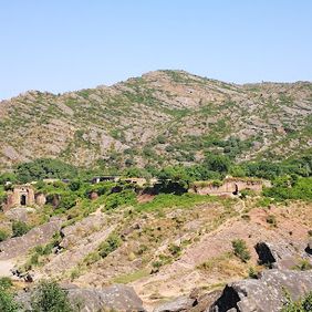
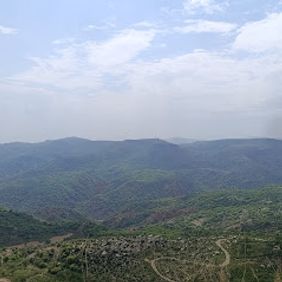
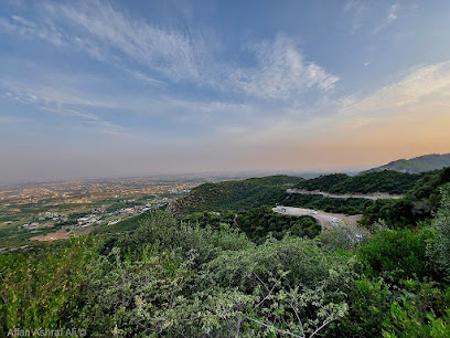
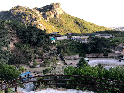
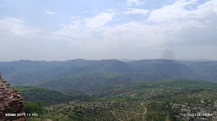
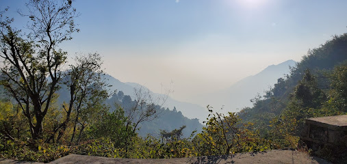
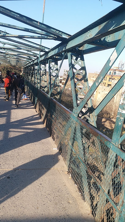
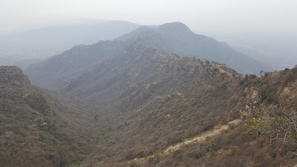
The Pothohar Plateau, located in the northern region of Pakistan, is a land of rolling hills, ancient history, and vibrant culture. This region offers breathtaking landscapes dotted with archaeological treasures, historical forts, and picturesque villages. The plateau's rugged terrain and serene atmosphere make it an ideal destination for nature lovers and history enthusiasts alike. 
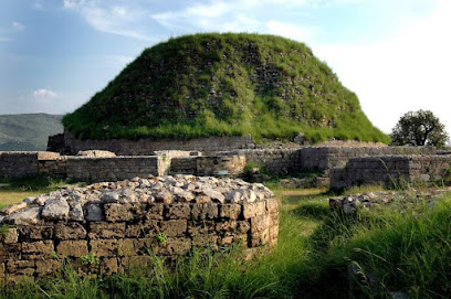
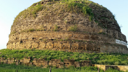
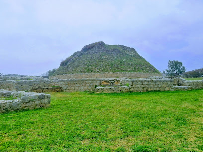
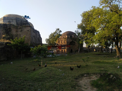
One of the most significant attractions in Pothohar Plateau is the ancient city of Taxila, a UNESCO World Heritage site. Taxila's ruins tell the story of a civilization that thrived over 2,000 years ago, and visitors can explore the remains of stupas, monasteries, and cities that once formed a major center of learning and culture in the ancient world. 
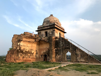
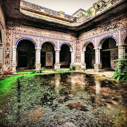
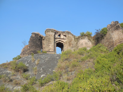
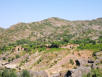
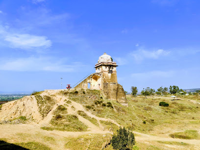
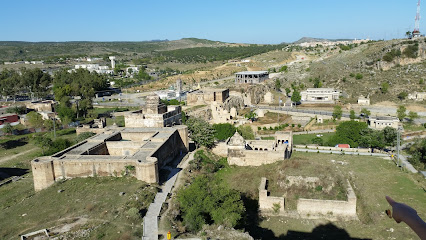
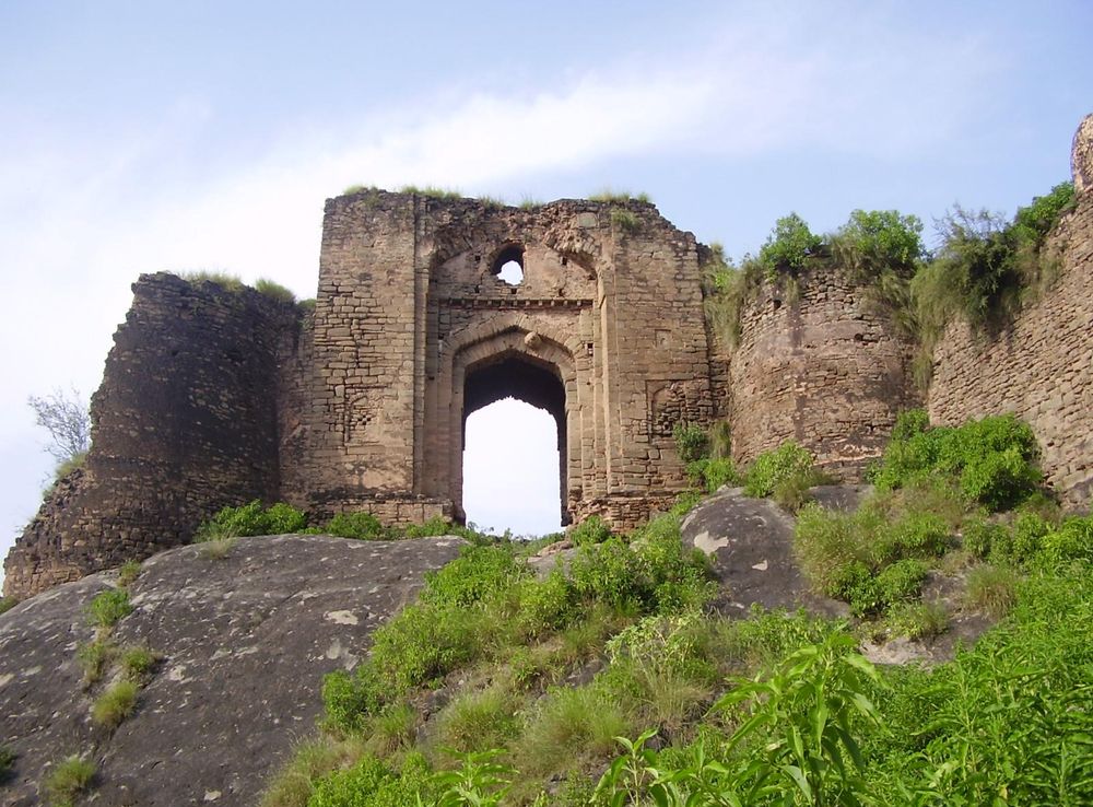
Another must-visit site is the Rohtas Fort, a marvel of military architecture built in the 16th century. This massive fort stands as a testament to the region's strategic importance and offers stunning views of the surrounding countryside. The fort's intricate design and impressive defenses make it a fascinating place to explore. 
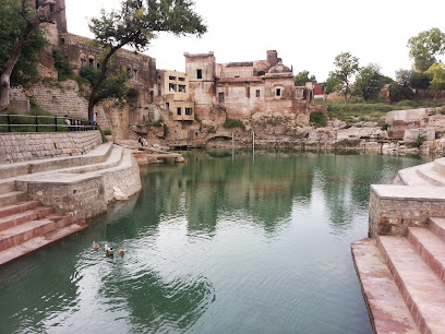
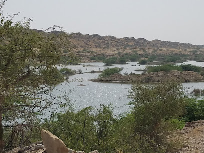
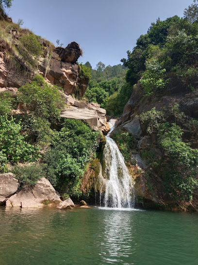
Nature enthusiasts will find delight in the scenic beauty of the Khewra Salt Mines, the second-largest salt mines in the world. These mines offer a unique underground experience with their sparkling salt formations and an opportunity to learn about the history of salt mining in the region. The nearby Kallar Kahar Lake, with its tranquil waters and lush surroundings, is perfect for a relaxing day out, offering boating and bird-watching opportunities. 
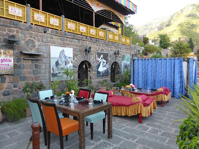
The Pothohar Plateau is not just about history and nature; it also offers a glimpse into the vibrant culture of the local people. Traditional festivals, folk music, and handicrafts provide an enriching experience for visitors looking to immerse themselves in the local way of life.

When is the best time to go to Pothohar Plateau?

Weather at a glance

Use the monthly temperature and precipitation trends to compare typical conditions across the year before planning countryside walks, town visits, and heritage days.

Temperature

°C

Precipitation

mm
Warmest monthsJun–Aug
Longest daylightMay–Aug
Driest periodNov–Dec

Explore places in Pothohar Plateau

    See all →

    Iconic landmarks you can't miss

    Classic Pothohar Plateau sights that mirror the landmark pins above, with a little more context before users explore further.

    Unmissable attractions to see

    These cards mirror the attraction list in the map, while adding enough context to help users prioritise.

    Essential places to dine

    The dining ideas below match the food pins above, making the map and editorial recommendations work together.

    Markets, malls and hidden boutiques

    Each shopping card aligns with a mapped browsing area, from major retail streets to market-led detours.

    Essential bars & hidden hideouts

    The evening cards below match the bars layer in the map, so browsing and orientation stay connected.

    File:Badshahi Mosque - Aerial View.JPG - Wikimedia Commons
    Destination guide

    More about Pakistan

    Discover Pakistan: A land of majestic mountains, rich history, and delicious cuisine, where every journey is an adventure and every moment is filled with wonder.

    Tell me more about Pakistan
    Mobile App
    Get the app

    Your all‑in‑one travel companion app

    Explore expert travel guides, compare and book tours, experiences, hotels, and more—all from the palm of your hand. Download now for seamless trip planning wherever your wanderlust takes you.

    Explore Pothohar Plateau in Photos

    A quick visual route through countryside views, towns, gardens, and regional day-trip atmosphere.

    File:Rohtas Fort Gate.jpg - Wikipedia
    File:Dharmarajika stupa,Taxila.jpg - Wikipedia
    File:Katas Raj Temples 2.JPG - Wikimedia Commons
    File:Rawat Fort - Main Gate East.jpg - Wikipedia
    File:Sangni Fort -2.JPG - Wikimedia Commons
    File:Gate of Pharwala Fort toward the Swaan stream.JPG - Wikimedia Commons
    File:Faisal Mosque, Shah Faisal Ave, E-8, Islamabad, Islamabad Capital  Territory 44000.jpg - Wikimedia Commons
    File:Murree hill station,Pakistan.jpeg - Wikimedia Commons
    File:Margalla Hills, Islamabad, Pakistan.jpg - Wikimedia Commons
    File:Front Wah Gardens.jpg - Wikimedia Commons

    Planning another trip?

    Continue exploring nearby country regions around Pothohar Plateau, from connected city edges to neighbouring counties, coastlines, and countryside escapes.

    Select Currency

    Choose the currency you want prices to display in.