Mayaro-Rio Claro · Travel guide · Updated 2026

The Coastal Charm and Cultural Richness of Mayaro-Rio Claro

Discover the tranquil beaches, lush wetlands, and vibrant cultures of Mayaro-Rio Claro in Trinidad and Tobago.

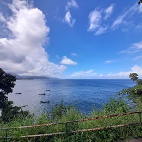
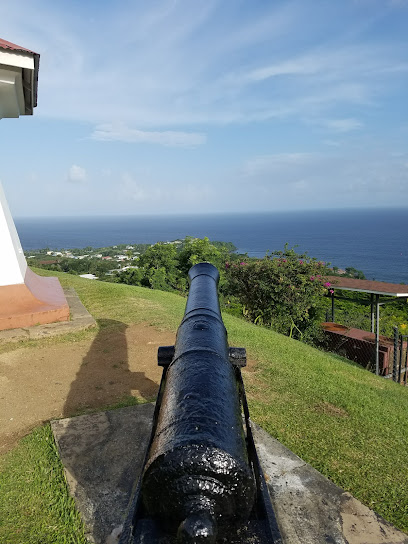
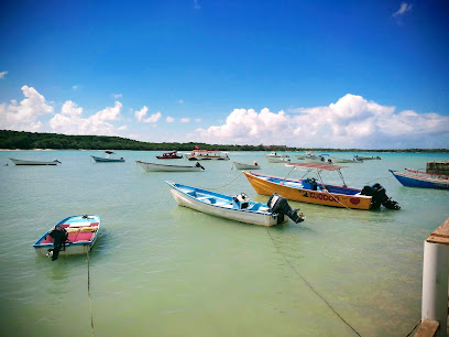
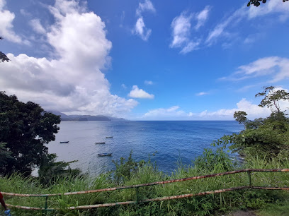
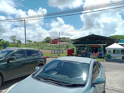
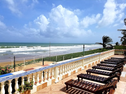
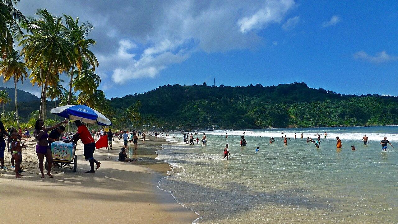
Mayaro-Rio Claro, situated on the southeastern coast of Trinidad, is a destination that offers both serene beaches and a glimpse into the rich cultural tapestry of Trinidad and Tobago. Mayaro Beach is renowned for its long, sandy stretches and gentle waves, making it perfect for a relaxing day by the sea. The beach is less crowded than other tourist spots, giving you a sense of peace and tranquility that is hard to find elsewhere. 
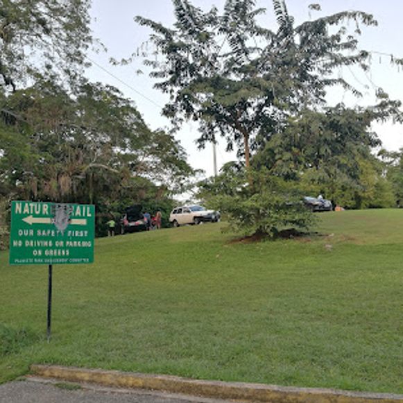
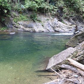
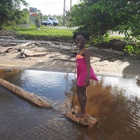
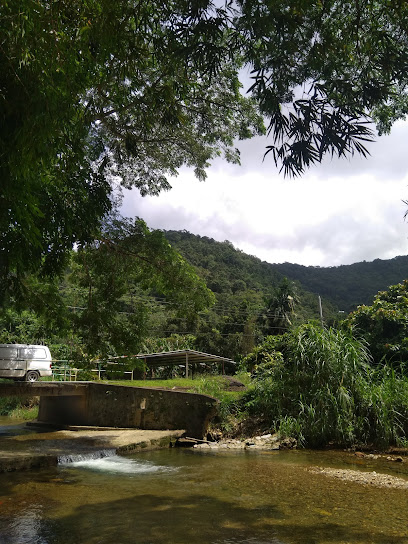
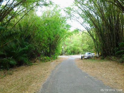
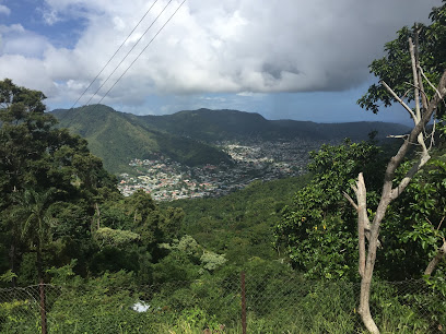
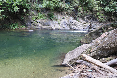
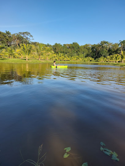
Beyond the beach, the region is a gateway to lush forests and pristine rivers, ideal for nature enthusiasts. The Nariva Swamp, one of the largest wetlands in the Caribbean, is home to a diverse range of wildlife, including manatees, red howler monkeys, and a multitude of bird species. Exploring this area by kayak or on a guided tour can be an unforgettable adventure. 
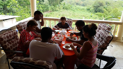
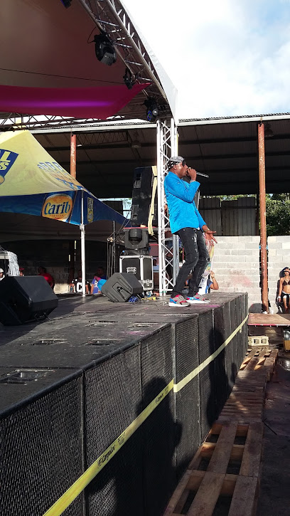
Culturally, Mayaro-Rio Claro is a melting pot where you can experience the vibrant traditions of the local communities. From the flavorful Creole cuisine to the lively festivals, every aspect of life here is infused with a unique blend of African, Indian, and European influences. Make sure to visit during the annual Mayaro Carnival, where the streets come alive with music, dance, and colorful costumes.

When is the best time to go to Mayaro-Rio Claro?

Weather at a glance

Use the monthly temperature and precipitation trends to compare typical conditions across the year before planning countryside walks, town visits, and heritage days.

Temperature

°C

Precipitation

mm
Warmest monthsJan–Dec
Longest daylightMar–Oct
Driest periodFeb–Apr

Explore places in Mayaro-Rio Claro

    See all →

    Iconic landmarks you can't miss

    Classic Mayaro-Rio Claro sights that mirror the landmark pins above, with a little more context before users explore further.

    Unmissable attractions to see

    These cards mirror the attraction list in the map, while adding enough context to help users prioritise.

    Essential places to dine

    The dining ideas below match the food pins above, making the map and editorial recommendations work together.

    Markets, malls and hidden boutiques

    Each shopping card aligns with a mapped browsing area, from major retail streets to market-led detours.

    Essential bars & hidden hideouts

    The evening cards below match the bars layer in the map, so browsing and orientation stay connected.

    File:Maracas Bay - Trinidad, West Indies.jpg - Wikimedia Commons
    Destination guide

    More about Trinidad and Tobago

    Discover Trinidad and Tobago: A Caribbean paradise where vibrant culture meets stunning natural beauty, offering unique experiences from lively festivals to serene beaches.

    Tell me more about Trinidad and Tobago
    Mobile App
    Get the app

    Your all‑in‑one travel companion app

    Explore expert travel guides, compare and book tours, experiences, hotels, and more—all from the palm of your hand. Download now for seamless trip planning wherever your wanderlust takes you.

    Explore Mayaro-Rio Claro in Photos

    A quick visual route through countryside views, towns, gardens, and regional day-trip atmosphere.

    File:Mayaro Beach; Trinidad & Tobago.jpg - Wikipedia
    File:Sierra del Merendon en Honduras 1.jpg - Wikimedia Commons
    File:Nariva Swamp Trinidad.jpg - Wikipedia
    File:Ortoire River - The village of Mafeking at the mouth of the river  where it enters the Atlantic Ocean on Trinidad's east coast.jpg - Wikimedia  Commons
    File:Brother's Road Mosque - Rio Claro, Trinidad and Tobago.jpg - Wikimedia  Commons

    Select Currency

    Choose the currency you want prices to display in.