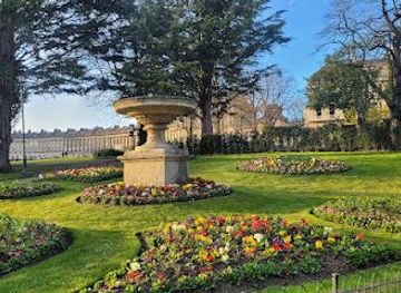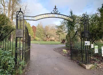
Botanical Gardens
Botanical Gardens at Royal Victoria Park, Bath
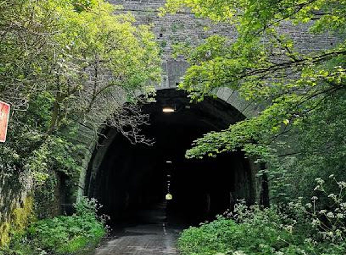
A scenic, 13-mile traffic-free trail linking Bristol and Bath, perfect for cycling, walking, and exploring historic railway heritage.
The Bristol and Bath Railway Path is a 13-mile (21 km) traffic-free, off-road cycleway and walking route connecting the historic cities of Bristol and Bath. Built on the former Midland Railway Mangotsfield and Bath branch line, it features a smooth tarmacked surface and passes through scenic countryside, charming former railway stations, and wildlife corridors. Popular for leisure, commuting, and nature appreciation, the path offers a safe, mostly flat route ideal for cyclists, walkers, and wheelchair users.
Opening times, essentials, and a few local tips gathered into one calmer, easier-to-scan planning section.
Train
Travelers can reach the path easily via Bristol Temple Meads or Bath Spa railway stations, both close to the path’s termini. Trains run frequently between the two cities, with journey times around 12-15 minutes. Bikes are permitted on trains, facilitating flexible start points along the route.
Bus
Regular bus services connect Bristol and Bath city centers and stop near access points to the path. For example, the 332/632 bus routes serve stops close to Brassmill Lane in Bath and various points near Bristol. Buses run hourly or more frequently, with fares typically around £3-£5.
Cycling
The path itself is part of National Cycle Network Route 4 and is fully traffic-free, providing a safe and direct cycling route between Bristol and Bath. Cyclists can join the path from multiple access points, including Lawrence Hill and Staple Hill in Bristol, and near Brassmill Lane in Bath.
Walking
Walking the full 13 miles typically takes 4 to 6 hours, depending on pace and stops. The path is mostly flat and surfaced, suitable for most walkers. Shorter sections can be accessed from numerous entry points, allowing flexible day hikes.
Catch the right light and the right mood, whether you want a bright city moment or a more cinematic evening visit.


Use Tower Bridge as your starting point for nearby food, family ideas, nightlife, and more local discoveries.
A quick look at seasonal patterns and peak visiting hours.

Explore expert travel guides, compare and book tours, experiences, hotels, and more—all from the palm of your hand. Download now for seamless trip planning wherever your wanderlust takes you.
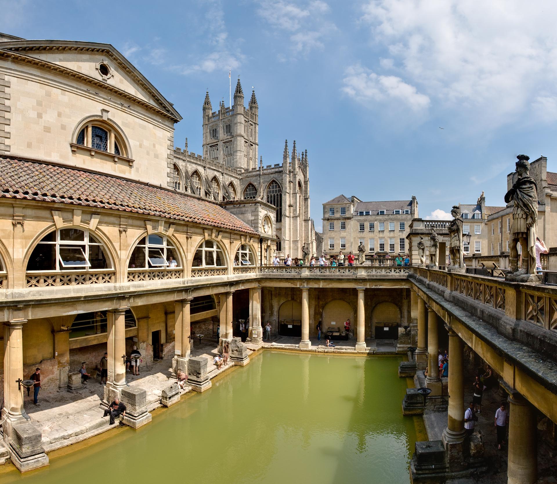
Discover Bath: A harmonious blend of Roman history, Georgian elegance, and natural beauty in the heart of England's countryside.
Tell me more about Bath