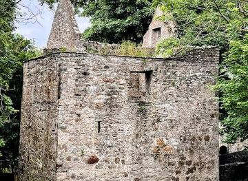
Neds Point Fort
Neds Point Fort: A Coastal Guardian
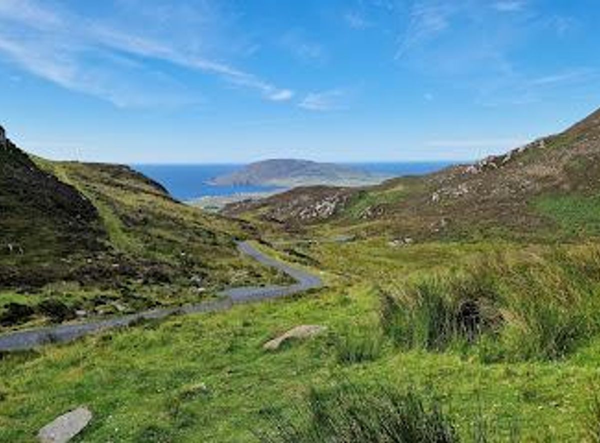
A dramatic mountain pass through the Urris Hills, offering sweeping views across Lough Swilly and the Atlantic coast on Donegal’s Inishowen Peninsula.
Mamore Gap is a dramatic mountain pass cutting through the Urris Hills on Donegal’s Inishowen Peninsula. A narrow, winding road climbs steeply to around 240 metres, then plunges down toward the Atlantic, offering sweeping views across Lough Swilly, Dunaff Head and the wild coastline. Once a vital link between villages and a Catholic pilgrimage route, it’s now a Wild Atlantic Way Discovery Point beloved for its raw, rugged scenery and sense of remoteness. There are several small pull-in spots to stop, stretch your legs and take in the panorama.
Opening times, essentials, and a few local tips gathered into one calmer, easier-to-scan planning section.
By car from Buncrana
From Buncrana, follow the R238 north for about 14 km to the Mamore Gap road. The final climb is narrow and steep, with tight bends; allow 20–25 minutes. There are small pull-in areas and car parks at the summit, but space is limited, especially in peak season.
By car from Urris
From the village of Urris, head south on the narrow road that climbs steeply into the Urris Hills. The ascent to Mamore Gap takes roughly 15–20 minutes and requires careful driving on tight bends; parking is available in small lay-bys near the summit.
On foot from Dunree
From Dunree Beach or the Fort Dunree area, a hill walk of about 3–4 hours (moderate fitness) leads up into the Urris Hills and across to Mamore Gap. The path is rough and often boggy, so sturdy boots and full outdoor gear are essential.
By bike from Buncrana
Cycling from Buncrana to Mamore Gap is a challenging but rewarding ride of about 14 km with a steep climb. Allow 1–1.5 hours; bring repair tools and water, as there are no services along the route.
Catch the right light and the right mood, whether you want a bright city moment or a more cinematic evening visit.


Use Tower Bridge as your starting point for nearby food, family ideas, nightlife, and more local discoveries.
A quick look at seasonal patterns and peak visiting hours.

Explore expert travel guides, compare and book tours, experiences, hotels, and more—all from the palm of your hand. Download now for seamless trip planning wherever your wanderlust takes you.
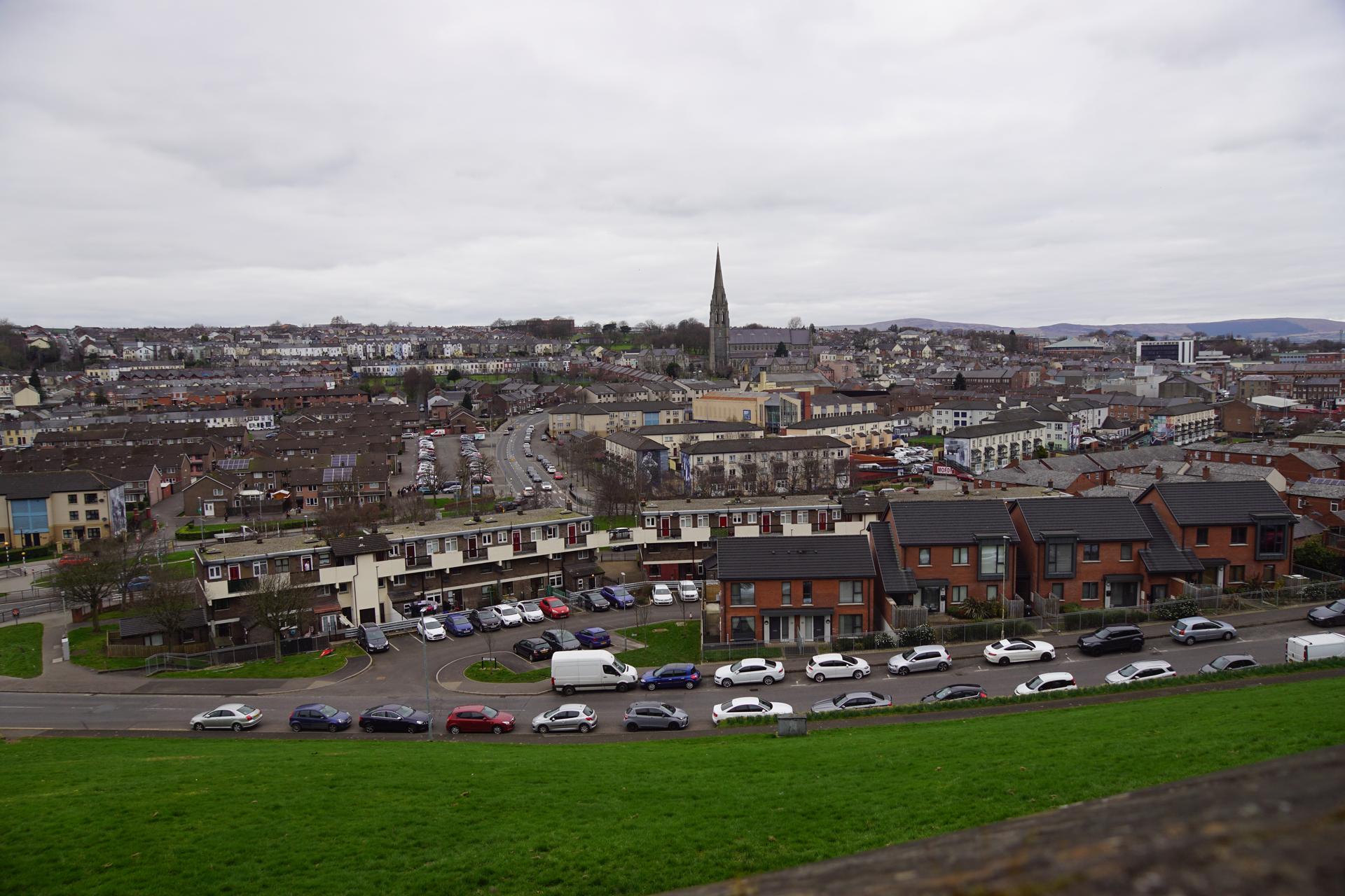
Explore Derry, a city steeped in history with its iconic walls, vibrant festivals, and stunning landscapes. Immerse yourself in the cultural heart of Northern Ireland.
Tell me more about Derry