

Free Arkansas River Valley Travel Guide & Mobile App
Explore Arkansas River Valley with free travel guides. Discover regional history, expert tips, proposed trips, and audio guides on web or mobile app.


Explore the Arkansas River Valley for mountain trails, river recreation, frontier history, historic towns and the varied landscapes of central Arkansas.
Read more about Arkansas River Valley
When is the best time to visit Arkansas River Valley?
Best: April–May, October · 23–28°C| Month | High (°C) | Rainfall (mm) |
|---|---|---|
| January | 9 | 75 |
| February | 12 | 80 |
| March | 18 | 100 |
| April (best) | 23 | 105 |
| May (best) | 28 | 115 |
| June | 32 | 85 |
| July | 34 | 80 |
| August | 34 | 80 |
| September | 30 | 95 |
| October (best) | 23 | 90 |
| November | 16 | 85 |
| December | 11 | 80 |
Getting to and around Arkansas River Valley
How to get there
Transportation
Top city travel guides in Arkansas River Valley
The cities of Arkansas River Valley, and the easiest places to base yourself.
-
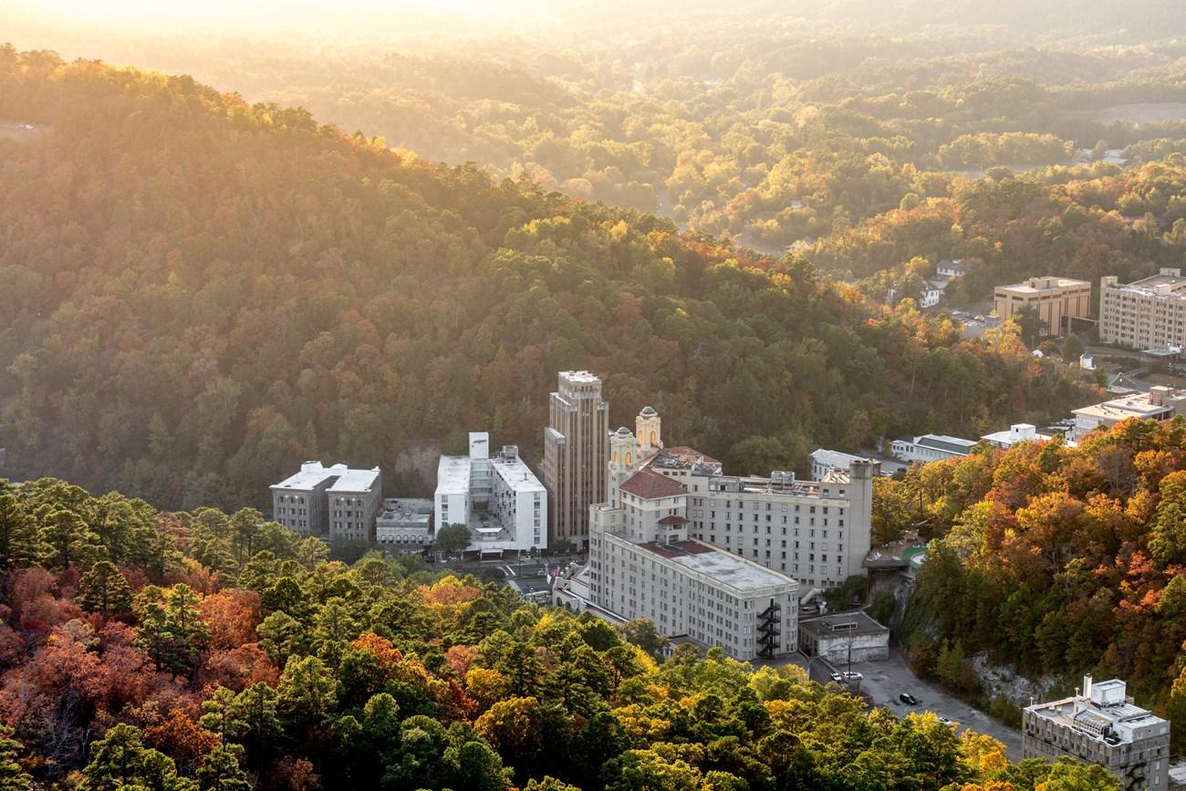 Hot Springs
, Arkansas blends thermal waters, Bathhouse Row, mountain scenery, historic architecture, arts, racing and lively Southern cuisine and arts.
-

-

-

-

-


Swipe for more cities
Destinations in Arkansas River Valley
Resorts, valleys and scenic spots worth a trip of their own.
-

-
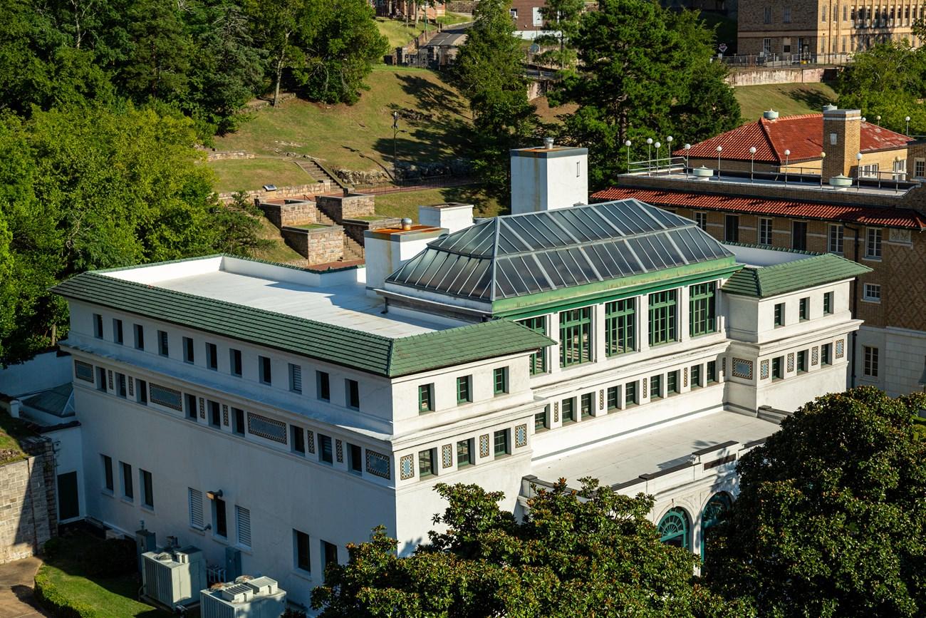 Hot Springs National Park
 in Arkansas pairs historic Bathhouse Row with thermal waters, forested Ouachita trails, scenic drives and American spa heritage.
-

-

-

-


Swipe for more destinations
Best attractions in Arkansas River Valley
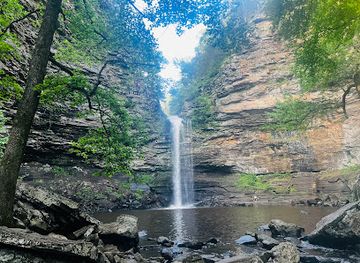
The Arkansas River Valley offers a varied group of attractions rather than one concentrated resort area. Fort Smith National Historic Site interprets the military post, federal courtroom and jail that shaped the region's frontier history, while nearby Van Buren has a compact historic commercial district. Lake Dardanelle State Park provides boating, fishing, hiking, camping and birdwatching around a broad reservoir, with the river corridor visible in its surrounding wetlands and farmland. To the south, Petit Jean State Park combines forest trails, overlooks, rock formations and the wooded depths of Cedar Creek. Mount Magazine, reached through the northern uplands, is known for high-elevation scenery, hiking, hang-gliding facilities and long views across the valley. The Ozark National Forest and Ouachita National Forest contribute extensive opportunities for walking, cycling, camping and scenic driving, though facilities vary by site. Holla Bend National Wildlife Refuge, near the river east of Dardanelle, is significant for seasonal birdlife and wetland habitat. Museums, historic streets, university cultural programmes and local parks in Fort Smith, Russellville and other towns add indoor and community-focused experiences between outdoor excursions.
-
National park
Hot Springs National Park
Discover thermal springs, historic bathhouses, and scenic trails in this unique urban national park nestled in the heart of Hot Springs, Arkansas.
-
National forest
Ouachita National Forest
Explore the Ouachita National Forest: Hiking, scenic drives, and outdoor adventures await in this vast Arkansas & Oklahoma wilderness.
-
State park
Petit Jean State Park
Discover Arkansas's first state park: breathtaking views, historic sites, and outdoor adventures await at Petit Jean State Park.
-
City park
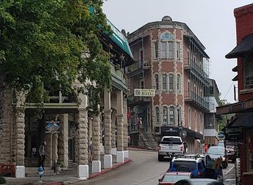
Eureka Springs Downtown
Step back in time in Eureka Springs Downtown, a Victorian-era haven with unique shops, art, and natural beauty nestled in the Ozark Mountains.
Best landmarks in Arkansas River Valley
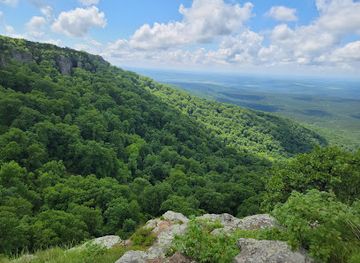
The Arkansas River is the valley's defining natural landmark, its wide corridor linking towns, farms, reservoirs and wooded hills across central and western Arkansas. Fort Smith National Historic Site is the region's most important historic landmark, preserving the remains of the old military post and the courthouse associated with Judge Isaac Parker. Across the river, Van Buren's historic downtown retains a recognisable nineteenth-century commercial streetscape shaped by river and railway trade. Mount Magazine forms a prominent northern landmark and the highest point in Arkansas, with elevated viewpoints over the surrounding ranges and valley. Petit Jean Mountain provides a contrasting southern landmark, marked by sandstone formations, ravines, Cedar Creek and the historic landscape of Petit Jean State Park. Dardanelle Rock, near the river and Lake Dardanelle, is a long-recognised geological and navigational feature. Locks, dams and broad reservoir waters on the modern Arkansas River add a more recent layer to the landscape, showing how engineering has altered a river once known primarily as a difficult frontier route.
-
National forest
Ozark - St. Francis National Forest
Uncover the natural beauty and outdoor adventures of Ozark - St. Francis National Forest, a paradise for nature lovers in Arkansas.
-
Historical landmark
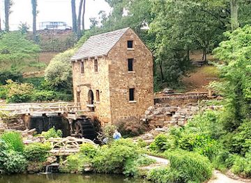
The Old Mill
Step back in time at The Old Mill in North Little Rock, a historic landmark and film location nestled in a picturesque park setting.
-
Historical place
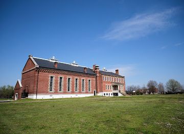
Fort Smith National Historic Site
Explore frontier justice, military history, and the Trail of Tears at this historic site on the Arkansas River in Fort Smith.
-
Historical landmark
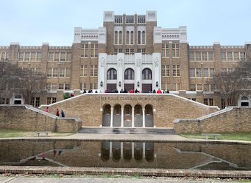
Little Rock Central High School National Historic Site
Explore the landmark high school that was at the center of the 1957 desegregation crisis and a catalyst for the American Civil Rights Movement.
Explore Arkansas River Valley on the map
Plan your trip on one map. See where the top cities, national parks and sights are, and book hotels and experiences in a few clicks.
Best hotels in Arkansas River Valley
Best restaurants in Arkansas River Valley
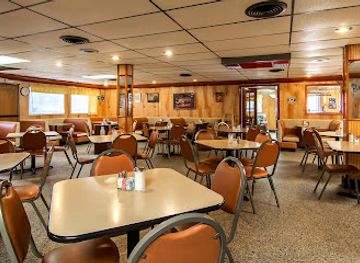
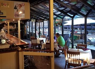
Dining in the Arkansas River Valley reflects the broader foodways of Arkansas, with Southern, Ozark and river-corridor influences appearing in different combinations. Barbecue, fried catfish, chicken, biscuits, seasonal vegetables, beans and pies are common reference points, while contemporary restaurants in Fort Smith and Russellville add international dishes, modern Southern cooking and more specialised menus. River communities and rural towns often have informal cafés, family restaurants and traditional diners rather than a single defined restaurant quarter. Produce from the agricultural bottoms and orchards around the valley appears seasonally at farm stands and markets, and Clarksville is particularly associated with fruit-growing country. Local breweries and cafés provide lighter meal options in some larger communities. Visitors should distinguish genuinely local produce from food simply marketed with a regional label, but staples such as catfish, barbecue, peach products and homemade-style baked goods offer a useful introduction to the area's culinary character.
-
American
Ozark Cafe
Discover Ozark Cafe: A delightful destination for American comfort food in Jasper, Arkansas with an inviting atmosphere and friendly service.
-
Restaurant
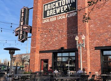
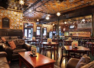
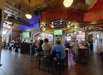
Bricktown Brewery
Discover Bricktown Brewery in Fort Smith - where delicious American cuisine meets local craft beer in a vibrant atmosphere.
-
American
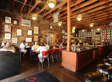
Old South Restaurant
Experience the heart of Southern hospitality at Old South Restaurant - where classic American meals meet warm smiles.
-
German
Steinhaus Keller
Discover the heart of Germany in Hot Springs with authentic dishes at Steinhaus Keller – where flavor meets tradition.
Best bars in Arkansas River Valley
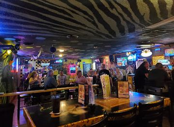
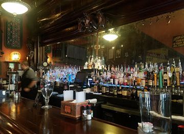
Evening life is concentrated in Fort Smith and Russellville, where restaurants, taprooms, cocktail bars, live-music venues and occasional late-night entertainment serve local residents and students. In Van Buren and the smaller valley towns, nightlife is quieter and tends to centre on traditional pubs, casual bars, cafés and restaurants rather than dedicated club districts. Mountain and rural communities generally wind down early, with evenings shaped more by porch gatherings, campfires, live music or dining than by large-scale nightlife. Breweries and taprooms provide opportunities to sample Arkansas-made beer, while locally oriented bars may host music or community events on selected nights. Opening arrangements and entertainment schedules vary, so checking directly before travelling is sensible, especially outside Fort Smith and Russellville.
-
Bar
Crazy Craig's Cheeky Monkey Bar
Discover the vibrant nightlife at Crazy Craig's Cheeky Monkey Bar in Branson, offering live music, delicious food, and a fun atmosphere for all.
-
Bar
Ohio Club
Experience the vibrant atmosphere of The Ohio Club, a historic bar and grill in Hot Springs National Park, known for its live music and classic American cuisine.
-
Bar
Flying Saucer Draught Emporium
Explore the best of craft beer and American cuisine at Flying Saucer Draught Emporium in Downtown Little Rock.
-
Restaurant
The Old Bank
Experience the perfect blend of history and flavor at The Old Bank in Russellville, Arkansas, a dining destination for food lovers and music enthusiasts alike.
Best nightclubs in Arkansas River Valley
Evening life is concentrated in Fort Smith and Russellville, where restaurants, taprooms, cocktail bars, live-music venues and occasional late-night entertainment serve local residents and students. In Van Buren and the smaller valley towns, nightlife is quieter and tends to centre on traditional pubs, casual bars, cafés and restaurants rather than dedicated club districts. Mountain and rural communities generally wind down early, with evenings shaped more by porch gatherings, campfires, live music or dining than by large-scale nightlife. Breweries and taprooms provide opportunities to sample Arkansas-made beer, while locally oriented bars may host music or community events on selected nights. Opening arrangements and entertainment schedules vary, so checking directly before travelling is sensible, especially outside Fort Smith and Russellville.
-
Bar
Club Frisco
Discover the lively spirit of Club Frisco in Rogers, Arkansas, where great drinks, live music, and a welcoming atmosphere await every visitor.
-
Night club
Whiskey River Country
Discover the electrifying nightlife at Whiskey River Country in Texarkana, where the music is loud, the drinks are flowing, and the fun never stops!
-
Event venue
Club 27
Experience the vibrant nightlife at Club 27 in Little Rock, an event venue blending dance, celebration, and unforgettable moments.
-
Night club
C4 Nightclub & Lounge
C4 Nightclub & Lounge: A vibrant hub for nightlife, music, and inclusivity in Fayetteville, Arkansas.


Best shops in Arkansas River Valley
Shopping in the Arkansas River Valley is centred on the main streets and commercial areas of Fort Smith, Russellville, Van Buren, Clarksville, Paris and neighbouring small communities. Fort Smith offers the widest range of national retailers, independent stores, antiques, books, galleries and everyday services, while Van Buren's historic district is more suited to browsing through restored shopfronts, gifts, antiques and locally oriented businesses. Farmers' markets and seasonal roadside stands provide opportunities to buy fruit, vegetables, preserves, baked goods and other Arkansas produce, with availability changing through the year. Outdoor shops are useful for trail, camping, fishing and boating equipment, particularly around the recreation centres. Craft galleries and small studios may feature pottery, woodwork, paintings, textiles and handmade gifts, though the selection is dispersed rather than concentrated in one regional craft quarter. Practical souvenirs include locally made food products, regional artwork, books on Arkansas history and goods connected with the river and mountain landscapes.
-
Shopping mall
Pinnacle Hills Promenade
Discover a vibrant shopping experience at Pinnacle Hills Promenade, your go-to destination for shopping, dining, and entertainment in Rogers, Arkansas.
-
Gift shop
The Shops At BrickCity - Fort Smith, AR
Explore The Shops At BrickCity in Fort Smith, AR - a unique shopping experience featuring boutiques, gourmet groceries, and fun for the whole family.
-
Liquor store
Petit Jean Liquor Store
Explore local spirits and crafts at Petit Jean Liquor Store in Morrilton, Arkansas—your gateway to unique flavors and regional specialties.
-
Antique store
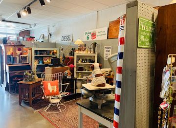
Belle Starr Antiques & Vintage Market
Explore a treasure trove of antiques and vintage finds at Belle Starr Antiques & Vintage Market in Fort Smith, Arkansas.


Get your free copy of our complete guide to Arkansas River Valley, delivered straight to you.
Everything on this page, from attractions and restaurants to essentials and local phrases, in one PDF you can read offline, print or share.
Already have an account? Sign in
Your Arkansas River Valley guide is ready.
We'll send it to · Not you? Sign out

Getting your guide ready…
We are putting together a fresh copy of the Arkansas River Valley guide. This can take up to a minute.
This can take a few moments. If your browser asks, choose Allow so the download can start. You'll find the guide in your Downloads folder.
Nothing happened? Download it again
Sorry, the guide is taking longer than usual. Please try again in a minute, or get it by email instead.
Arkansas River Valley essentials
Currency and Payment
Safety
Emergency Situations
Do's and Don'ts
Local Tips
From Eve
Local phrases worth knowing
You don't need to get them perfect. A few words go a long way, and locals appreciate the effort.
Basics
| English | Local | Say it |
|---|---|---|
| Hello | Howdy | [Ha-dee] |
| Goodbye | See ya later | [See ya lay-ter] |
| Yes | Yep | [Yep] |
| No | Nah | [Nah] |
| Please/You're welcome | Sure thing | [Shur thing] |
| Thank you | Thanks a lot | [Thangs a lot] |
| Excuse me/Sorry | Pardon me | [Par-dun me] |
| How are you? | How ya doin'? | [How ya doin'?] |
| Fine. And you? | I’m good. And you? | [I’m good. An' you?] |
| Do you speak English? | Do ya speak English? | [Doo ya speek Inglish?] |
| I don't understand | I ain't followin' | [I ain't fol-lin'] |
Eating & Drinking
| English | Local | Say it |
|---|---|---|
| I'd like to see the menu, please | Can I see the menu, please? | [Can I see the men-yoo, pleez?] |
| I don't eat meat | I don't eat no meat | [I don't eet no meet] |
| Cheers! | Bottoms up! | [Bot-toms up!] |
| I would like to pay, please | I’d like to settle up, please | [I’d like to set-tle up, pleez] |
Emergencies
| English | Local | Say it |
|---|---|---|
| Help! | Help! | [Help!] |
| Go away! | Leave me alone! | [Leave me a-lone!] |
| Call the Police! | Call the cops! | [Call the cops!] |
| Call a doctor! | Get a doctor! | [Get a doc-tor!] |
| I'm lost | I’m lost | [I’m lost] |
| I'm ill | I feel bad | [I feel bad] |
Shopping
| English | Local | Say it |
|---|---|---|
| I'd like to buy... | I wanna buy... | [I wanna bye...] |
| I'm just looking | Just lookin' around | [Just lookin' a-round] |
| How much is it? | How much is that? | [How much is that?] |
| That's too expensive | That's way too high | [That's way too hi] |
| Can you lower the price? | Can ya drop the price? | [Can ya drop the price?] |
Time & Numbers
| English | Local | Say it |
|---|---|---|
| What time is it? | What time's it? | [What time's it?] |
| It's one o'clock | It's one | [It's one] |
| Half past (10) | Half past ten | [Half past ten] |
| Morning | Mornin' | [Mornin'] |
| Afternoon | Afternoon | [Afternoon] |
| Evening | Evenin' | [Evenin'] |
| Yesterday | Yesterday | [Yesterday] |
| Today | Today | [Today] |
| Tomorrow | Tomorrow | [Tomorrow] |
| 1 | One | [One] |
| 2 | Two | [Two] |
| 3 | Three | [Three] |
| 4 | Four | [Four] |
| 5 | Five | [Five] |
| 6 | Six | [Six] |
| 7 | Seven | [Seven] |
| 8 | Eight | [Eight] |
| 9 | Nine | [Nine] |
| 10 | Ten | [Ten] |
Transport & Directions
| English | Local | Say it |
|---|---|---|
| Where's a/the...? | Where's the...? | [Where's the...?] |
| What's the address? | What’s the address? | [What’s the ad-dress?] |
| Can you show me (on the map)? | Can you point it out? | [Can you point it out?] |
| When's the next (bus)? | When's the next bus? | [When's the next bus?] |
| A ticket (to ....) | A ticket to... | [A tick-it to...] |
History of Arkansas River Valley
Indigenous River and Upland Landscapes
Long before European settlement, Indigenous peoples used the Arkansas River corridor as a route for travel, exchange and seasonal subsistence. The river's fertile bottoms contrasted with the wooded uplands and mountain ridges to the north and south, creating varied ecological zones. Caddoan-speaking peoples were prominent in the wider Arkansas region, while Osage influence extended across parts of the Ozark borderlands. Archaeological evidence and surviving place names point to a much older human geography than the forts and towns that later became associated with the valley.
Fort Smith and the Western Frontier, 1817–1870s
The United States established the first Fort Smith in 1817 near the junction of the Arkansas and Poteau rivers, establishing a military presence on a contested western frontier. A second fort was built in 1838, and the post became a major staging point for soldiers, traders, emigrants and officials. During the Civil War, control of Fort Smith shifted between Union and Confederate forces before Union occupation. The site now forms the core of Fort Smith National Historic Site and remains one of the valley's most important historical places.
Removal, Migration and the Trail of Tears
The Arkansas River Valley was affected by the forced removal of Native nations from the southeastern United States during the 1830s. Fort Smith served as a military and administrative point within the wider removal landscape, and routes through western Arkansas were used by people displaced to Indian Territory. The history is not simply a frontier story of expansion: it also records the loss of homelands, coercive federal policy and the establishment of new Indigenous communities west of the Mississippi.
Judge Isaac Parker and Federal Justice
From 1875 to 1896, Isaac Parker served as United States district judge at Fort Smith for a jurisdiction that extended across much of the western frontier. His court handled cases involving violence, land disputes and federal offences, and its courtroom became associated with the popular image of the 'Hanging Judge'. The historical reality was more complex, involving federal authority, marshals, defendants and Indigenous jurisdiction during a period of rapid territorial change. The restored courtroom and jail at Fort Smith National Historic Site interpret this era in detail.
River Commerce, Railways and Town Building
The Arkansas River helped connect farms, timber districts and commercial settlements with wider markets, while railways later strengthened the valley's towns. Van Buren developed as an important river and rail community opposite Fort Smith, and Russellville grew as an agricultural, educational and transport centre. Historic commercial buildings, depots and town grids across the valley reflect these changes. The river was both a natural route and a sometimes difficult force, since floods repeatedly affected settlement, farming and transport.
Coal, Agriculture and Industrial Change
Coal mining became significant in the Arkansas River Valley, particularly in the western and northern parts of the region, where seams in the Ouachita and Ozark foothills supported local mines and related transport. Agriculture remained equally important in the river bottoms, where fertile soils favoured crops, livestock and orchards. During the twentieth century, manufacturing, education, energy production and improved highways diversified the economy. The valley's present landscape therefore combines working farms and forest with industrial sites, university communities and growing outdoor tourism.
The Modern Navigable Arkansas River
Twentieth-century investment in locks, dams and reservoirs transformed the Arkansas River into part of a navigable waterway linking inland Arkansas with the Mississippi River system. Lake Dardanelle is one of the most visible local results, providing flood control, navigation support and recreation as well as habitat for fish and birds. The modern river remains an economic corridor, but its reservoirs, shorelines and wetlands have also become important settings for fishing, boating, wildlife observation and public parks.
Arkansas River Valley in Photos
Browse through our photo collection highlighting the charm and character of the destination.
Neighbouring regions of Arkansas River Valley
The closest regions to Arkansas River Valley, if you have time for more than one.
-

-
 Ozark Mountains
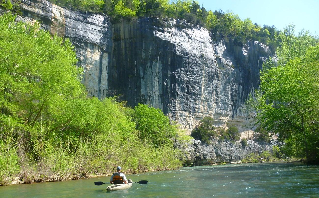
Explore Arkansas's Ozark Mountains for limestone bluffs, clear rivers, forest trails, historic towns and enduring music traditions.
-

-

-


Swipe for more regions
Explore more

Explore more of Arkansas
Explore Arkansas: The Natural State with its stunning landscapes, rich history, and vibrant cultural experiences. Perfect for adventurers and culture seekers alike.
Explore Arkansas