Discover the Heart of Tasmania: The Geographical Centre
Explore the serene landscapes of Bronte Park at the Geographical Centre of Tasmania, a tranquil escape into nature's heart.
Nestled in the serene landscapes of Bronte Park in Tasmania, the Geographical Centre of Tasmania stands as a remarkable spot for tourists. This location offers visitors a unique opportunity to explore the heart of Tasmania, where lush greenery and tranquil surroundings create a perfect escape from the hustle and bustle of city life. Although it may not be filled with attractions, its significance as the geographical heart of the island makes it a must-visit for those wanting to connect with the essence of Tasmania.
A brief summary to Geographical Centre of Tasmania
- Bronte Park, Tasmania, 7140, AU
- Monday 12 am-12 am
- Tuesday 12 am-12 am
- Wednesday 12 am-12 am
- Thursday 12 am-12 am
- Friday 12 am-12 am
- Saturday 12 am-12 am
- Sunday 12 am-12 am
Local tips
- Bring a camera to capture the stunning natural beauty surrounding the area.
- Visit during early morning or late afternoon for the best lighting and fewer crowds.
- Pack a picnic to enjoy in the peaceful surroundings of the centre.
- Check local weather conditions before your visit to ensure a pleasant experience.
Getting There
-
Car
From Hobart, take the Tasman Highway (A3) heading north. Continue on A3 for approximately 113 km until you reach the junction with the Midland Highway (A1). Take the exit onto the Midland Highway (A1) towards Launceston. After about 60 km, take the exit toward B34, following signs for Campbell Town. Continue on B34 for about 35 km until you reach the junction with the C132. Turn left onto C132 and follow it for approximately 38 km until you reach Bronte Park. The Geographical Centre of Tasmania is located near Bronte Park, specifically at the coordinates -42.1801294, 146.5014906. Look for signage indicating the location.
-
Public Transportation
To reach the Geographical Centre of Tasmania using public transport, start by taking a bus from Hobart to Launceston. Bus services such as Redline and Tassielink offer this route. The journey takes about 2.5 to 3 hours. Once in Launceston, you will need to take a taxi or rideshare service to Bronte Park, which is approximately a 90-minute ride (about 80 km) from Launceston. Be aware that taxi fares can vary, so it's advisable to check beforehand or use a rideshare app for a more consistent fare estimate.
-
Bicycle
For the adventurous, cycling to the Geographical Centre of Tasmania can be an exciting option. Starting from Hobart, follow the Tasman Highway (A3) towards Sorell, then take the B34 towards Campbell Town. This route is approximately 150 km and will take several hours, depending on your cycling speed and breaks. Ensure you have a good map or GPS, as you will need to navigate from Campbell Town onto the C132 towards Bronte Park. Be prepared for varying terrains and carry sufficient water and food supplies.
Discover more about Geographical Centre of Tasmania
Iconic landmarks you can’t miss
Lake St Clair National Park
24.5 km
Explore the serene landscapes and rich biodiversity of Lake St Clair National Park, a premier destination for outdoor adventures in Tasmania.
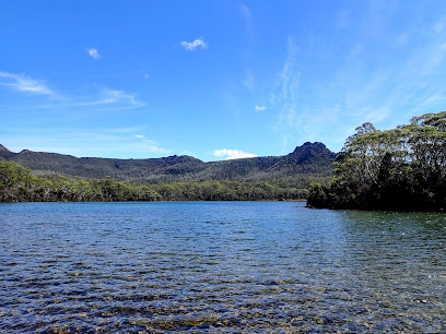
Lake St Clair Visitor Centre
27.9 km
Explore the breathtaking landscapes of Lake St Clair, a gateway to Tasmania's wilderness, offering adventure, tranquility, and nature's beauty.
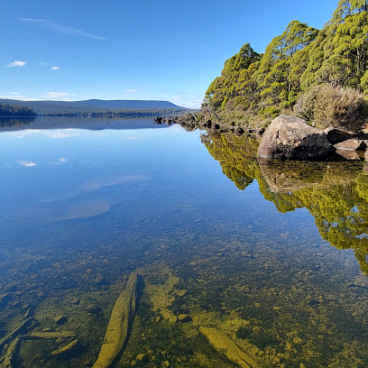
Lake St Clair
30.8 km
Explore the breathtaking beauty of Lake St Clair, Tasmania's deepest lake surrounded by pristine wilderness and endless outdoor adventures.
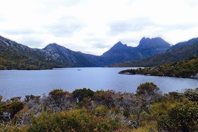
Walls of Jerusalem National Park
37.2 km
Discover the breathtaking landscapes and rich biodiversity of the Walls of Jerusalem National Park, a hidden gem in Tasmania perfect for adventure seekers.
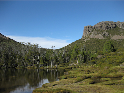
Mount Massif
47.3 km
Explore the enchanting Mount Massif in Tasmania's Cradle Mountain-Lake St Clair National Park, a breathtaking spot for nature lovers and adventure seekers alike.
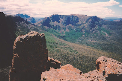
Great lakes lookout
48.3 km
Discover the serene vistas and stunning views at Great Lakes Lookout in Tasmania's Central Plateau, a paradise for nature lovers and photographers.
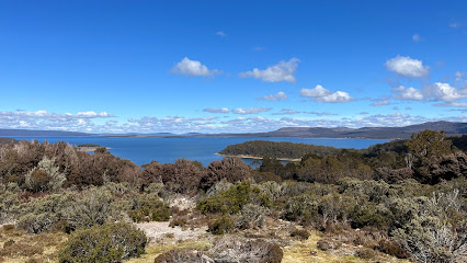
Mount Field West
52.6 km
Explore the breathtaking trails and diverse wildlife at Mount Field West, Tasmania's hidden gem for hiking and nature enthusiasts.
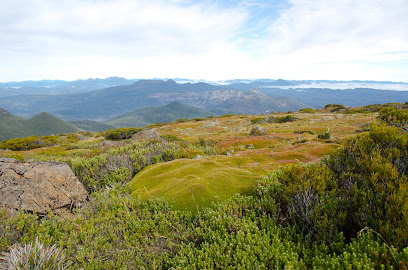
Mount Field Government Huts
57.0 km
Discover the tranquility of Mount Field Government Huts, your gateway to Tasmania's stunning natural beauty and adventure-filled escapes.
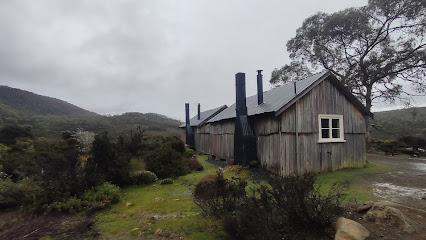
Mount Mawson
57.1 km
Discover the breathtaking beauty and adventure at Mount Mawson, a stunning mountain peak in Tasmania's picturesque landscape.
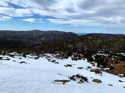
Russell Falls Holiday Cottages
58.7 km
Discover the tranquility of Russell Falls Holiday Cottages, your gateway to the stunning landscapes of Mt. Field National Park in Tasmania.

Mount Field Campground
58.8 km
Experience the tranquility of Mount Field Campground in Tasmania, a natural haven for camping, hiking, and wildlife watching amidst stunning landscapes.

Mt Field Retreat
58.9 km
Discover the tranquility and adventure at Mt Field Retreat, your perfect self-catering escape in Tasmania's breathtaking natural landscape.
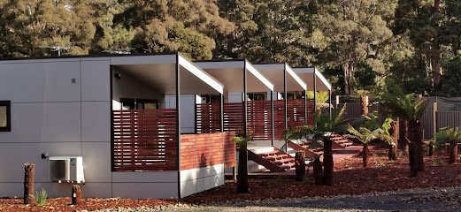
Left of Field, Camping Gardens
59.2 km
Experience the tranquility of nature at Left of Field Camping Gardens, your gateway to the stunning landscapes of Tasmania's Mt Field National Park.
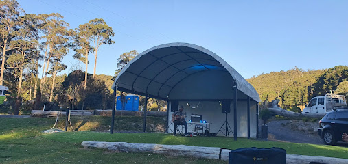
Highest Point On Road
60.7 km
Experience breathtaking views and stunning landscapes at the Highest Point On Road in Tasmania, the perfect destination for nature lovers and adventure seekers.
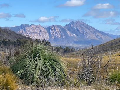
Hansons Peak
72.2 km
Experience the breathtaking views at Hansons Peak in Cradle Mountain National Park, Tasmania's stunning natural wonder perfect for outdoor enthusiasts.
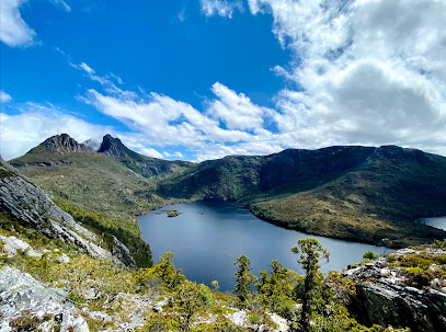
Unmissable attractions to see
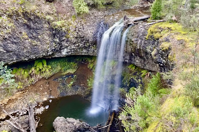
Tarraleah Falls
15.4 km
Explore the breathtaking Tarraleah Falls in Tasmania, a natural wonder offering stunning views, diverse wildlife, and serene walking trails.
THE WALL
21.7 km
Explore The Wall in Tasmania: A unique sculptural journey through the region's rich cultural heritage and breathtaking landscapes.
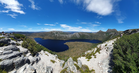
Miena Dam Lookout
29.0 km
Discover the breathtaking views and serene landscapes at Miena Dam Lookout, a must-visit destination for nature lovers in Tasmania.
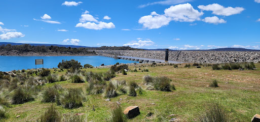
The Steppes Sculptures
33.2 km
Discover bronze sculptures amidst the natural beauty of Tasmania's Highlands, near the historic Steppes Homestead. A unique cultural experience awaits!
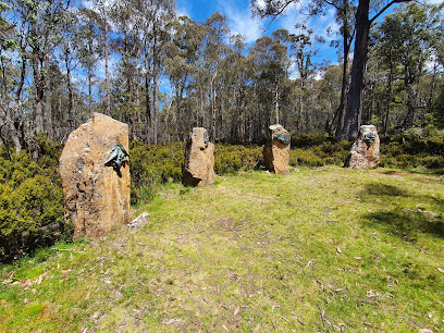
Taffy’s Creek
36.6 km
Experience the tranquil beauty of Taffy’s Creek in Lake St Clair, Tasmania—an idyllic spot for nature lovers and serene escapes amidst stunning landscapes.
Narcissus Hut
37.9 km
Explore the breathtaking landscapes of Narcissus Hut, your gateway to Tasmania's stunning Overland Track and serene Lake St Clair.
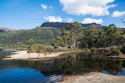
Mount Moriah
41.8 km
Explore the stunning landscapes and rich biodiversity of Mount Moriah, a breathtaking natural attraction in Tasmania's wilderness.

Hartnett Falls
42.8 km
Experience the serenity and breathtaking beauty of Hartnett Falls, a stunning natural wonder in Tasmania's picturesque landscape.
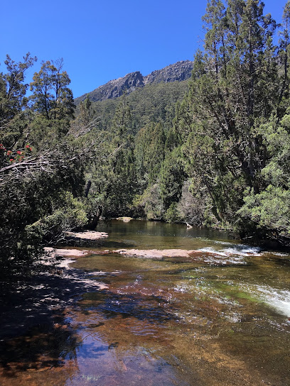
D’Alton Falls
43.7 km
Explore the natural beauty of D’Alton Falls, a stunning waterfall in Tasmania, perfect for hiking, photography, and experiencing wilderness tranquility.
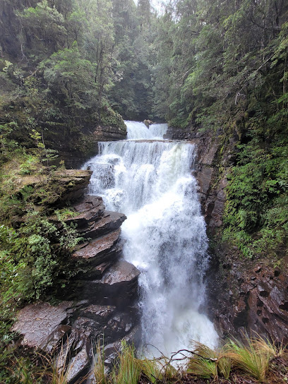
Meander Falls
49.8 km
Explore the beauty of Meander Falls, a serene destination in Tasmania perfect for hiking, relaxation, and nature photography.
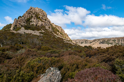
Pine Lake Walk
51.7 km
Explore the breathtaking Pine Lake Walk in Tasmania's Central Plateau, where serene landscapes and unique alpine flora await.
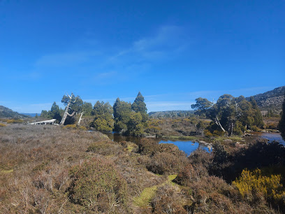
Bastion Cascades
51.7 km
Explore the enchanting Bastion Cascades, a must-visit natural attraction in Tasmania featuring stunning waterfalls and lush landscapes.
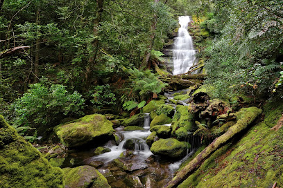
The Watcher
53.1 km
Explore the breathtaking landscapes of The Watcher, a premier hiking area in Mount Field National Park, Tasmania, known for stunning views and diverse wildlife.
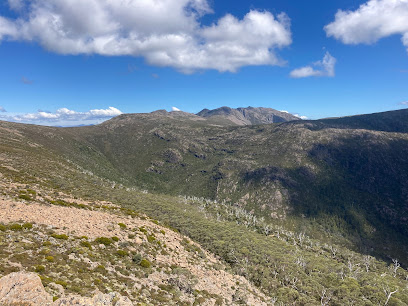
Mount Field East
54.1 km
Experience the unparalleled natural beauty and adventure of Mount Field East, a premier national park in Tasmania, perfect for all nature lovers.
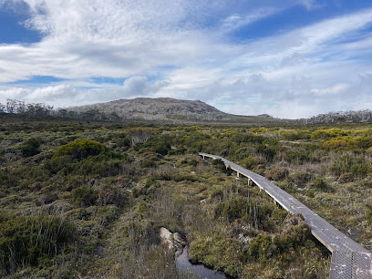
New Pelion Hut
54.2 km
A hiker's haven on the Overland Track, New Pelion Hut offers shelter and a base for exploring Tasmania's stunning Cradle Mountain-Lake St Clair National Park.
Essential places to dine
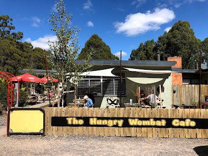
Hungry Wombat Cafe
22.8 km
Discover Hungry Wombat Cafe in Tasmania - where delicious food meets breathtaking scenery in a cozy setting perfect for travelers.
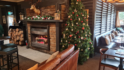
Restaurant @ Great Lake Hotel
26.5 km
Experience exquisite local cuisine and stunning views at the Restaurant @ Great Lake Hotel in Tasmania's beautiful landscapes.
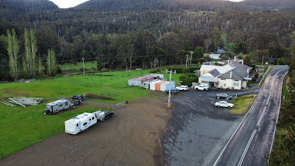
National Park Hotel
59.0 km
Discover comfort and local flavors at National Park Hotel - your gateway to Tasmania's breathtaking landscapes.
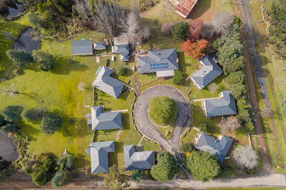
Giants' Table and Cottages
64.6 km
Discover tranquility at Giants' Table and Cottages in Maydena - your gateway to Tasmania's natural wonders.
Fika Time Cafe/Restaurant & General Store
64.8 km
Discover cozy comfort at Fika Time Cafe in Maydena - your perfect stop for coffee, meals, and local treasures amidst Tasmania's beauty.
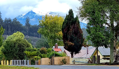
Earthwater Café
70.4 km
Discover Earthwater Café: A charming spot in Mole Creek for delicious coffee and breakfast amidst stunning gardens.
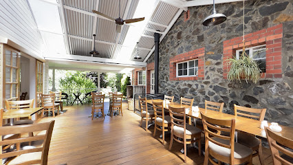
Linda Cafe
75.2 km
Discover Linda Cafe in Gormanston - where delightful flavors meet stunning Tasmanian landscapes.
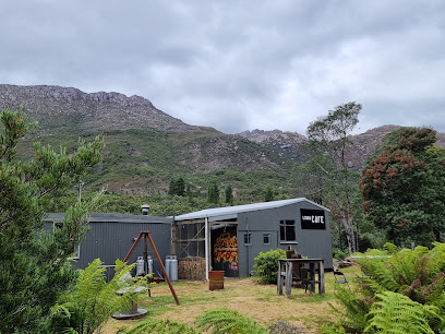
Pedder Wilderness Lodge (Open 11am-3pm)
75.4 km
Experience unparalleled tranquility at Pedder Wilderness Lodge amidst Tasmania's breathtaking landscapes and adventure-filled activities.

Highland Restaurant
80.5 km
Experience exquisite modern Australian cuisine surrounded by breathtaking landscapes at Highland Restaurant in Cradle Mountain.
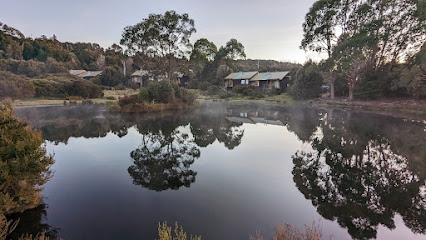
Tavern Bar & Bistro
80.5 km
Discover exquisite local cuisine at Tavern Bar & Bistro in Cradle Mountain – where nature meets flavor in Tasmania's breathtaking wilderness.
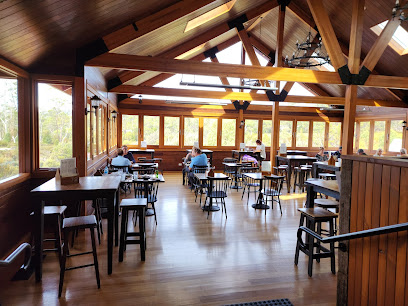
Cradle Mountain Wilderness Village
81.6 km
Discover tranquility and adventure at Cradle Mountain Wilderness Village - your gateway to Tasmania's stunning natural beauty.
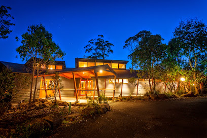
Cradle Mountain Wilderness Village Restaurant
81.6 km
Experience gourmet dining amidst stunning landscapes at Cradle Mountain Wilderness Village Restaurant - where nature meets culinary excellence.
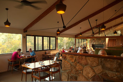
The Agrarian Kitchen
81.6 km
Discover seasonal delights at The Agrarian Kitchen in New Norfolk—where local produce meets culinary creativity amidst beautiful gardens.
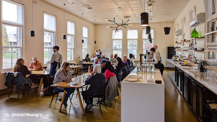
THE OLD BLACK STUMP Restaurant and Function Room
82.2 km
Experience authentic Australian cuisine at The Old Black Stump in Gowrie Park, where local flavors meet warm hospitality.
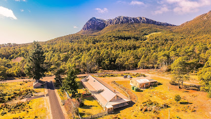
Altitude Restaurant + Lounge Bar
82.2 km
Experience fine dining with breathtaking views at Altitude Restaurant + Lounge Bar in Cradle Mountain, Tasmania – where every meal is a celebration of local flavors.
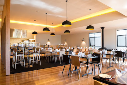
Markets, malls and hidden boutiques
Great Lake General Store
26.5 km
Explore the essence of Tasmania at the Great Lake General Store, where local culture meets scenic beauty.
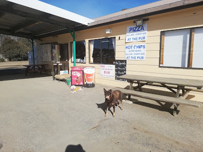
IGA X-Press Ouse
38.1 km
Experience the local flavors and friendly service at IGA X-Press Ouse, your go-to grocery store in Tasmania.
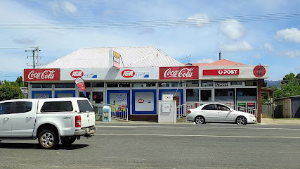
Waterfalls Cafe and Gallery
58.5 km
Experience the perfect blend of art, coffee, and local culture at Waterfalls Cafe and Gallery in the heart of Mount Field, Tasmania.
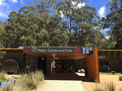
The Possum Shed Cafe
60.2 km
Discover the warmth of The Possum Shed Cafe in Tasmania, where delicious coffee meets stunning natural beauty in a cozy atmosphere.
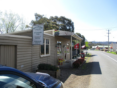
Where is Sheppula, Tasmania, Aus
72.0 km
Experience the charm of Sheppula in Tasmania, your convenient stop for essentials and local delights amidst stunning natural landscapes.

SEPPENFELTS Emporium, Gifts & Books
74.0 km
Explore SEPPENFELTS Emporium in Deloraine, Tasmania - a unique gift shop brimming with local crafts, books, and clothing for every traveler.
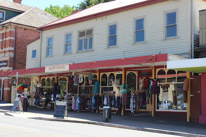
Divine Objects
74.0 km
Explore Divine Objects in Deloraine, Tasmania, where unique gifts and local craftsmanship await every visitor.
Weindorfers Forest Walk, Cradle Mountain
76.0 km
Experience the natural beauty of Weindorfers Forest Walk in Cradle Mountain, Tasmania, where lush landscapes and serene trails await every nature lover.
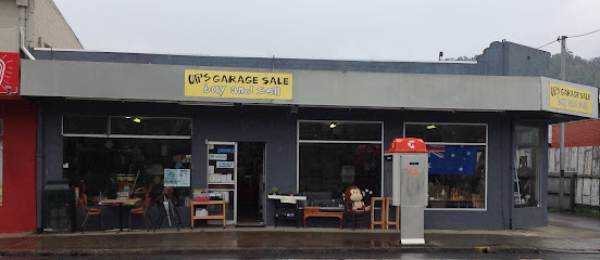
Oli's Garage Sale
80.4 km
Explore Oli's Garage Sale in New Norfolk, Tasmania, for a unique shopping experience filled with antiques, collectibles, and hidden treasures.
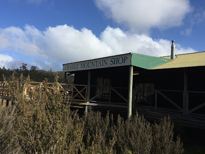
Cradle Mountain Shop
80.5 km
Explore the Cradle Mountain Shop for unique local crafts and outdoor gear in Tasmania's stunning wilderness.
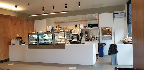
Elements Cafe
81.1 km
Experience the warmth of Elements Cafe in Cradle Mountain, where local flavors and breathtaking views unite for an unforgettable visit.
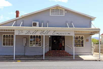
Drill Hall Emporium
81.1 km
Explore the Drill Hall Emporium, a captivating antique store in New Norfolk, Tasmania, where history and unique treasures await every visitor.
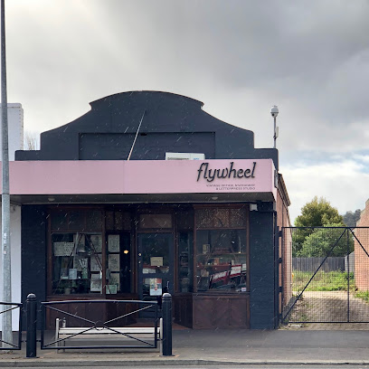
Flywheel
81.1 km
Explore Flywheel in New Norfolk, Tasmania, a delightful stationery store offering a unique selection of writing supplies and creative gifts.
20th Century Artifacts
81.2 km
Explore a captivating collection of vintage treasures at 20th Century Artifacts in New Norfolk, Tasmania—where history meets charm.

Willow Court Antique Centre
81.3 km
Uncover unique antiques and vintage collectibles in the heart of Tasmania at Willow Court Antique Centre, a treasure trove for history enthusiasts.

Essential bars & hidden hideouts
Pumphouse Point
25.8 km
Experience the breathtaking beauty and tranquility of Pumphouse Point, a luxurious retreat on Tasmania's stunning Lake St Clair.

Lachlan Hotel
38.1 km
Experience the charm of Tasmania at Lachlan Hotel, a picturesque pub and hotel offering delicious food, local drinks, and comfortable accommodations.
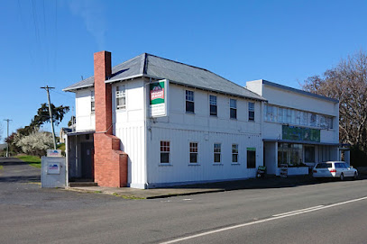
1826 Bar and Bistro
50.2 km
Discover the essence of Tasmania at 1826 Bar and Bistro, where local flavors and a cozy atmosphere create unforgettable dining experiences.
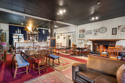
Maydena Eats
64.6 km
Experience the best of Tasmanian cuisine at Maydena Eats, a charming restaurant and cafe offering locally sourced dishes in a cozy setting.

Wandering Trout - Gourmet Stays
70.0 km
Experience Tasmania's culinary delights at Wandering Trout, where gourmet dining meets cozy lodge accommodations amidst stunning mountain views.
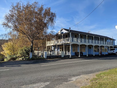
Artillery Knob
71.6 km
Explore Artillery Knob – a breathtaking mountain peak in Tasmania's Cradle Mountain region, perfect for hiking and enjoying nature's beauty.

The Kentish Tasmania
72.8 km
Delight in authentic Tasmanian cuisine and warm hospitality at The Kentish Tasmania, your ideal pub and restaurant in Oatlands.
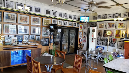
Twelve Trees Bar and Restaurant
75.4 km
Experience the charm of Tasmania at Twelve Trees Bar and Restaurant, a cozy retreat offering local flavors and stunning views.
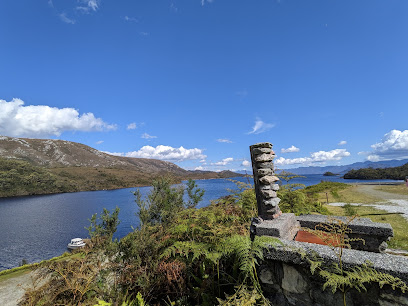
Cradle Highlander
81.4 km
Discover the beauty of Cradle Mountain at Cradle Highlander, your perfect retreat for adventure and relaxation in Tasmania.

Tiny Escapes Cradle Valley
81.7 km
Discover tranquility and adventure at Tiny Escapes Cradle Valley, your gateway to the stunning landscapes of Tasmania and Cradle Mountain National Park.
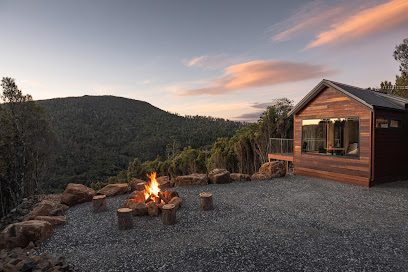
Tullah Tavern
88.1 km
Discover the warmth of Tullah Tavern, a cozy pub in Tasmania offering hearty meals, local brews, and a friendly atmosphere for all visitors.
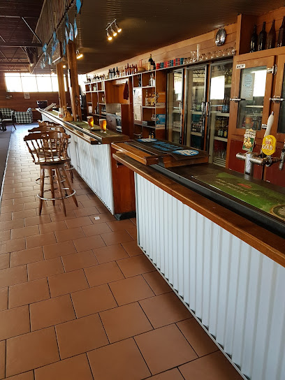
Tullah Lakeside Lodge
88.6 km
Discover tranquility at Tullah Lakeside Lodge in Tasmania, where nature meets comfort, offering a unique experience by the serene lake.
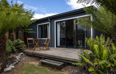
The Top Pub
91.1 km
Experience the heart of Tasmania at The Top Pub in Rosebery, where local brews and friendly vibes await every traveler.
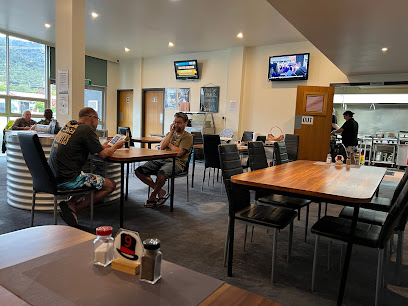
Void Bar
94.0 km
Discover Void Bar in Berriedale, Tasmania – a vibrant bar with a creative atmosphere and exceptional local drinks.
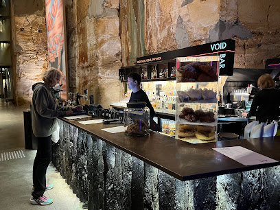
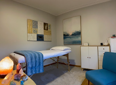
Soul Vie
96.4 km
Discover holistic wellness at Soul Vie in Kings Meadows, Tasmania, specializing in alternative medicine and transformative Reiki therapy.
Nightclubs & after hour spots
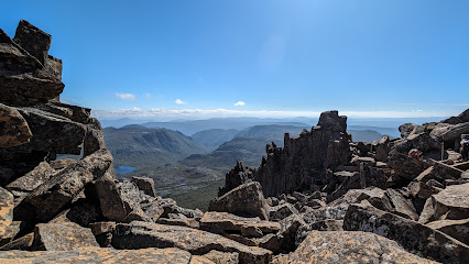
Cradle Mountain Summit
71.5 km
Experience the breathtaking beauty and adventure at Cradle Mountain Summit, Tasmania's iconic natural wonder.
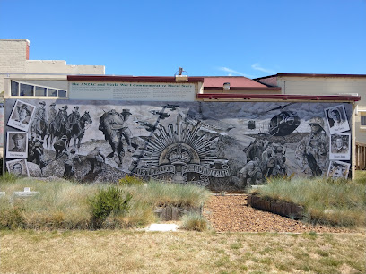
Sheffield RSL & Citizens Club
89.9 km
Discover the welcoming atmosphere and local flavors at Sheffield RSL & Citizens Club, a community hub in the heart of Tasmania.
Bottleshop & Bar
90.0 km
Discover the essence of Tasmania's craft beer scene at Bottleshop & Bar, nestled in the charming town of Sheffield.
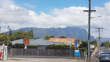
Tonic Bar
92.2 km
Discover Tonic Bar in Tasmania for a lively night out with great drinks and an inviting atmosphere, perfect for socializing and entertainment.

Lonnies Niteclub
98.1 km
Discover Launceston's lively nightlife at Lonnies Niteclub, where dance, drinks, and unforgettable experiences await you.
