

Free Sacramento Valley Travel Guide & Mobile App
Explore Sacramento Valley with free travel guides. Discover regional history, expert tips, proposed trips, and audio guides on web or mobile app.


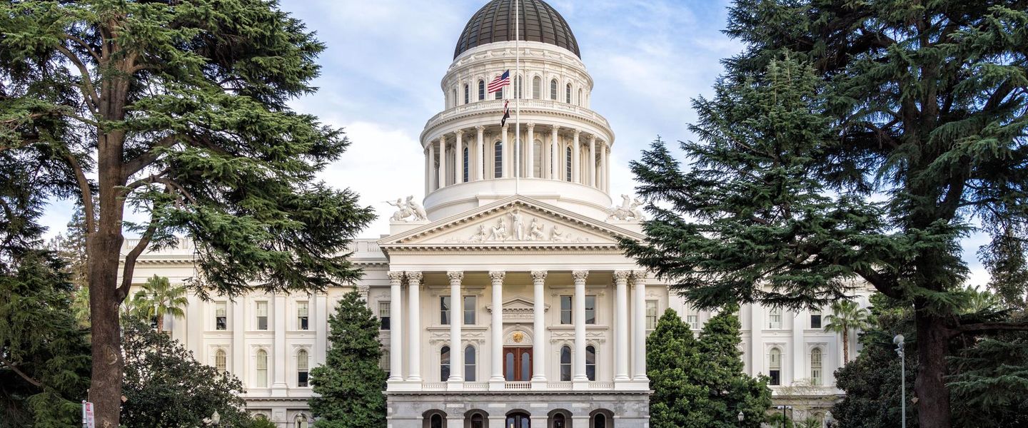


Explore California's Sacramento Valley for river landscapes, Gold Rush history, wildlife refuges, farm produce and lively inland cities.
Read more about Sacramento Valley
When is the best time to visit Sacramento Valley?
Best: April–May, October · 24–29°C| Month | High (°C) | Rainfall (mm) |
|---|---|---|
| January | 14 | 90 |
| February | 18 | 85 |
| March | 21 | 74 |
| April (best) | 24 | 37 |
| May (best) | 29 | 20 |
| June | 33 | 8 |
| July | 38 | 3 |
| August | 37 | 3 |
| September | 34 | 9 |
| October (best) | 27 | 33 |
| November | 18 | 71 |
| December | 13 | 97 |
Getting to and around Sacramento Valley
How to get there
Transportation
Top city travel guides in Sacramento Valley
The cities of Sacramento Valley, and the easiest places to base yourself.
-

-

-

-

-

-


Swipe for more cities
Destinations in Sacramento Valley
Resorts, valleys and scenic spots worth a trip of their own.
-

-


Swipe for more destinations
Best attractions in Sacramento Valley
The Sacramento Valley combines urban museums and historic districts with an extensive agricultural and wetland landscape. In Sacramento, Old Sacramento State Historic Park, the California State Railroad Museum, the California State Capitol and the Crocker Art Museum provide a compact introduction to the region's political, commercial and artistic history. The American River Parkway offers a long riverside corridor for walking, cycling and wildlife observation. North of the capital, Davis is known for its university setting and public gardens, while Chico combines independent cultural venues with the extensive trails and woodland of Bidwell Park. The Sacramento National Wildlife Refuge Complex near Willows is important for seasonal birdwatching, and other refuges and bypass wetlands offer changing views of rice country, floodplain and river habitat. Redding provides access to the Sacramento River Trail and the architectural Sundial Bridge. Throughout the valley, farm roads, orchards, seasonal markets, fishing locations and small museums offer a slower counterpoint to the main cities, though many rural attractions require advance planning and a car.
-
National park
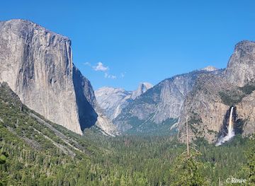
Yosemite National Park
Discover Yosemite National Park: Majestic granite cliffs, giant sequoias, and cascading waterfalls await in California's Sierra Nevada.
-
Historical landmark
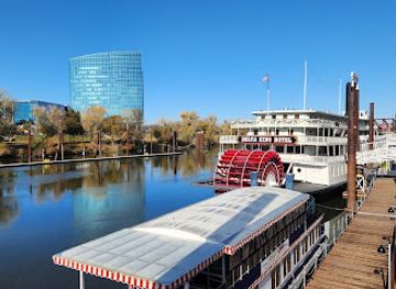
Old Sacramento Waterfront
Experience California's Gold Rush history at Old Sacramento Waterfront, a vibrant district with museums, shops, dining, and riverfront charm.
-
Theme park
Six Flags Discovery Kingdom
Experience thrilling rides and amazing animal encounters at Six Flags Discovery Kingdom, Northern California's ultimate theme park destination.
-
Historical place museum
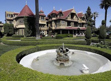
Winchester Mystery House
Explore the bizarre architecture and ghostly legends of the Winchester Mystery House, a captivating Victorian mansion in San Jose, California.

Best landmarks in Sacramento Valley
The Sacramento Valley's most recognisable landmarks reflect its political, transport and river history. The California State Capitol in Sacramento represents the state's continuing administrative importance, while Old Sacramento's raised wooden walkways, nineteenth-century buildings and waterfront setting recall the Gold Rush-era city shaped by repeated flooding. The nearby Tower Bridge is a prominent crossing over the Sacramento River, with its distinctive golden structure visible from the riverfront. The California State Railroad Museum preserves the importance of rail transport in connecting the valley to national markets. In Chico, Bidwell Park is a defining natural landmark, extending from developed river corridors into oak woodland and foothill terrain. Redding's Sundial Bridge, designed as a pedestrian and cycling crossing over the Sacramento River, has become a modern civic symbol as well as an access point to river trails. Across the wider valley, the Sacramento River, rice fields, levees and seasonal wetlands are less monumental but equally characteristic landmarks of a landscape engineered, farmed and continually reshaped by water.
-
Historical landmark
Old Sacramento Waterfront
Experience the rich history, delightful shops, and vibrant atmosphere of Old Sacramento Waterfront, a captivating destination for every tourist.
-
History museum
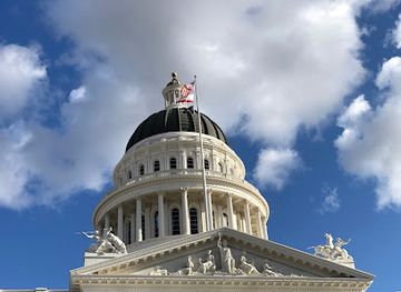
California State Capitol Museum
Discover the California State Capitol Museum: a historical and botanical gem in Sacramento showcasing the state's political legacy and natural beauty.
-
State park
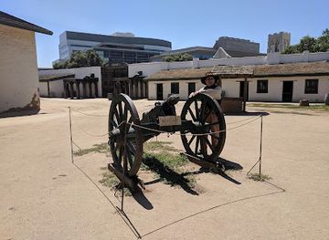
Sutter's Fort State Historic Park
Discover the rich history of California at Sutter's Fort State Historic Park, a captivating blend of education and recreation in Sacramento's Midtown.
-
Bridge
Tower Bridge
Explore the historic Tower Bridge in Sacramento, a stunning landmark combining engineering prowess with breathtaking views of the river and city skyline.

Explore Sacramento Valley on the map
Plan your trip on one map. See where the top cities, national parks and sights are, and book hotels and experiences in a few clicks.
Best hotels in Sacramento Valley
Best restaurants in Sacramento Valley
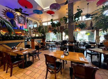
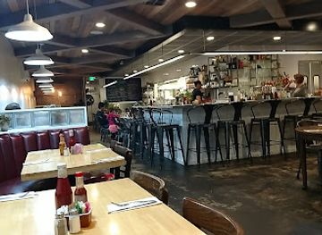
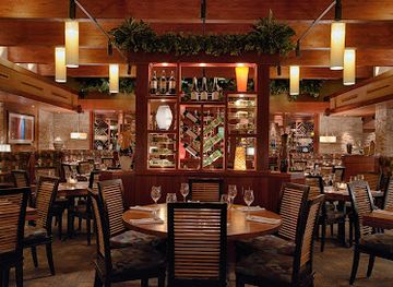
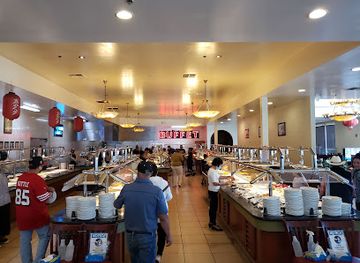
Dining in the Sacramento Valley is closely connected to its agricultural output, with restaurants using rice, tomatoes, stone fruit, nuts, olive oil, vegetables and locally produced meat when in season. Sacramento has the broadest choice, from contemporary farm-focused cooking and international cuisines to long-established diners, bakeries, cafés and neighbourhood restaurants. Davis, Chico and Redding also have strong selections of independent eateries, with university influence particularly noticeable in Davis and Chico. In smaller towns, meals are more likely to centre on cafés, family-run restaurants, roadside stops and traditional American diners. Farmers' markets and farm shops are useful places to find seasonal fruit, nuts, honey and other regional products, while the valley's breweries and nearby wine-growing areas contribute to the drinks scene. Menus change with harvests and drought conditions, so a dish described as local may reflect California-wide culinary practice rather than a recipe exclusive to the Sacramento Valley.
-
Eclectic
Tower Café
Experience the creative flavors of Tower Café in Sacramento, where eclectic dishes meet a warm atmosphere for unforgettable breakfasts.
-
Brunch
Bacon & Butter
Discover the unique flavors of Sacramento at Bacon & Butter, where comfort food meets culinary creativity in a vibrant brunch setting.
-
Seafood
Scott's Seafood on the River
Experience exquisite seafood dining with stunning riverside views at Scott's Seafood on the River in Sacramento.
-
New American
Seasons 52
Discover Seasons 52 in Sacramento - where fresh ingredients meet exquisite culinary artistry in an inviting atmosphere.

Best bars in Sacramento Valley
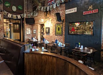
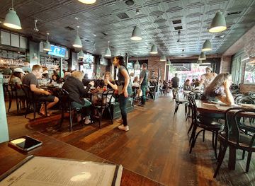
Evening life is concentrated in Sacramento, Chico, Davis and Redding rather than spread evenly across the rural valley. Sacramento offers the widest range of cocktail bars, breweries, wine bars, live-music rooms, theatre-going and late venues, especially around its central districts, while Davis and Chico have a younger, university-influenced bar and music culture. Redding's evening scene is smaller and more oriented towards restaurants, breweries, live performances and social drinking than large nightclubs. In agricultural towns, historic bars, casual pubs, family restaurants and community events are more typical than late-night entertainment. The region's craft-beer culture is particularly visible in Sacramento, Chico and Redding, but visitors should check current arrangements before travelling to a specific venue. Summer heat and long distances make taxis, designated drivers or pre-arranged transport important when moving between rural communities and town centres.
-
Restaurant
Fox & Goose Public House
Discover the authentic British pub experience at Fox & Goose Public House in downtown Sacramento, featuring a delightful menu and inviting ambiance.
-
Grill
Iron Horse Tavern - R St. Sacramento
Discover the vibrant flavors of Iron Horse Tavern, a premier grill and fine dining restaurant in Sacramento, offering a diverse menu and exceptional service.
-
Bar
Yard House
Discover the lively Yard House in Sacramento, where delicious New American cuisine meets an extensive variety of craft beers in a dynamic atmosphere.
-
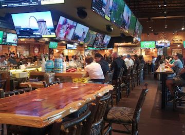
Sports bar
Twin Peaks
Experience the thrill of sports and the taste of America at Twin Peaks, Sacramento's go-to sports bar and restaurant.

Best nightclubs in Sacramento Valley
Evening life is concentrated in Sacramento, Chico, Davis and Redding rather than spread evenly across the rural valley. Sacramento offers the widest range of cocktail bars, breweries, wine bars, live-music rooms, theatre-going and late venues, especially around its central districts, while Davis and Chico have a younger, university-influenced bar and music culture. Redding's evening scene is smaller and more oriented towards restaurants, breweries, live performances and social drinking than large nightclubs. In agricultural towns, historic bars, casual pubs, family restaurants and community events are more typical than late-night entertainment. The region's craft-beer culture is particularly visible in Sacramento, Chico and Redding, but visitors should check current arrangements before travelling to a specific venue. Summer heat and long distances make taxis, designated drivers or pre-arranged transport important when moving between rural communities and town centres.
-
Bar
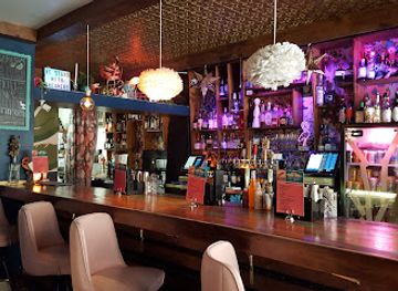
The Flamingo House Social Club
Discover vibrant nightlife and delightful culinary experiences at The Flamingo House Social Club in the heart of Sacramento's Midtown.
-
Live Music
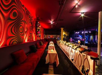
Harlow's
Experience the vibrant nightlife at Harlow's, Sacramento's premier live music venue combining great food, drinks, and unforgettable performances.
-
Night club
Mix Downtown
Discover the electrifying nightlife at Mix Downtown, Sacramento's premier night club for unforgettable music, dancing, and vibrant social experiences.
-
Night club
The Press Club
Discover the dynamic nightlife of The Press Club, Sacramento's premier destination for live music, dancing, and delicious cocktails.

Best shops in Sacramento Valley
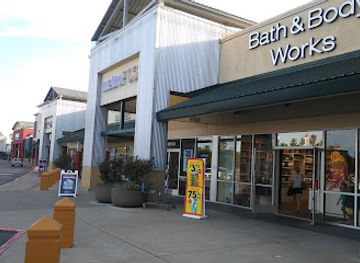
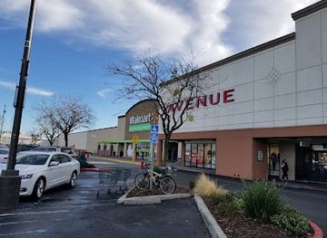
Sacramento provides the Sacramento Valley's broadest shopping range, including independent retailers, galleries, bookshops, food halls and the shops of the Old Sacramento waterfront. Davis and Chico have walkable central areas with locally owned clothing, book, gift and specialist food shops, while Redding serves as a commercial centre for the northern valley. Farmers' markets and seasonal farm stands are the best places to seek regional almonds, walnuts, rice, fruit, honey, preserves and other produce, although opening days and seasonal availability vary. Old Sacramento is oriented towards heritage-themed gifts and visitor shopping, whereas central districts in Davis and Chico tend to offer a more local, university-town selection. Look for Californian wines, craft beer, small-batch foods, ceramics, textiles and artwork rather than generic souvenirs, and remember that some rural farm shops accept cards only intermittently. Large shopping centres and national chains are available in the main cities, but they are not a distinctive expression of the valley's agricultural character.
-
Shopping mall
Natomas Marketplace
Discover shopping, dining, and entertainment at Natomas Marketplace, Sacramento's vibrant hub for visitors and locals alike.
-
Shopping mall
Delta Shores
Experience shopping, dining, and entertainment at Sacramento's premier destination, Delta Shores, where every visit is a new adventure.
-
Shopping mall
Florin Towne Centre
Explore Florin Towne Centre in Sacramento for an unforgettable shopping and dining experience amidst a vibrant community atmosphere.
-
Shopping mall
Southgate Plaza
Discover Southgate Plaza in Sacramento: a shopping mall with diverse stores, delightful dining, and family-friendly entertainment options.

Get your free copy of our complete guide to Sacramento Valley, delivered straight to you.
Everything on this page, from attractions and restaurants to essentials and local phrases, in one PDF you can read offline, print or share.
Already have an account? Sign in
Your Sacramento Valley guide is ready.
We'll send it to · Not you? Sign out

Getting your guide ready…
We are putting together a fresh copy of the Sacramento Valley guide. This can take up to a minute.
This can take a few moments. If your browser asks, choose Allow so the download can start. You'll find the guide in your Downloads folder.
Nothing happened? Download it again
Sorry, the guide is taking longer than usual. Please try again in a minute, or get it by email instead.
Sacramento Valley essentials
Currency and Payment
Safety
Emergency Situations
Do's and Don'ts
Local Tips
From Eve
Local phrases worth knowing
You don't need to get them perfect. A few words go a long way, and locals appreciate the effort.
Basics
| English | Local | Say it |
|---|---|---|
| Hello | Hey | [heɪ] |
| Goodbye | See ya | [si jə] |
| Yes | Yeah | [jɛə] |
| No | Nah | [nɑ] |
| Please/You're welcome | No problem | [noʊ ˈprɒbləm] |
| Thank you | Thanks | [θæŋks] |
| Excuse me/Sorry | Sorry | [ˈsɔːri] |
| How are you? | How's it going? | [haʊz ɪt ˈɡoʊɪŋ] |
| Fine. And you? | Good. You? | [ɡʊd ju] |
| Do you speak English? | You speak English? | [ju spiːk ˈɪŋɡlɪʃ] |
| I don't understand | I don't get it | [aɪ doʊnt ɡɛt ɪt] |
Eating & Drinking
| English | Local | Say it |
|---|---|---|
| I'd like to see the menu, please | Can I see the menu? | [kæn aɪ si ðə ˈmɛnju] |
| I don't eat meat | I’m vegetarian | [aɪm ˌvɛdʒɪˈtɛriən] |
| Cheers! | Cheers! | [ʧɪrz] |
| I would like to pay, please | Can I get the check? | [kæn aɪ ɡɛt ðə ʧɛk] |
Emergencies
| English | Local | Say it |
|---|---|---|
| Help! | Help! | [hɛlp] |
| Go away! | Leave me alone! | [liːv mi əˈloʊn] |
| Call the Police! | Call 911! | [kɔl naɪn wʌn wʌn] |
| Call a doctor! | I need a doctor! | [aɪ nid ə ˈdɑktər] |
| I'm lost | I'm lost | [aɪm lɔst] |
| I'm ill | I'm not feeling well | [aɪm nɑt ˈfilɪŋ wɛl] |
Shopping
| English | Local | Say it |
|---|---|---|
| I'd like to buy... | I wanna buy... | [aɪ ˈwɑnə baɪ] |
| I'm just looking | Just browsing | [dʒʌst ˈbraʊzɪŋ] |
| How much is it? | What's the price? | [wɑts ðə praɪs] |
| That's too expensive | That's way too pricey | [ðæts weɪ tu ˈpraɪsi] |
| Can you lower the price? | Can you make it cheaper? | [kæn ju meɪk ɪt ˈʧipər] |
Time & Numbers
| English | Local | Say it |
|---|---|---|
| What time is it? | What time is it? | [wɑt taɪm ɪt] |
| It's one o'clock | It's one | [ɪts wʌn] |
| Half past (10) | Half past ten | [hæf pæst tɛn] |
| Morning | Morning | [ˈmɔrnɪŋ] |
| Afternoon | Afternoon | [ˌæftərˈnun] |
| Evening | Evening | [ˈivnɪŋ] |
| Yesterday | Yesterday | [ˈjɛstərdeɪ] |
| Today | Today | [təˈdeɪ] |
| Tomorrow | Tomorrow | [təˈmɔroʊ] |
| 1 | One | [wʌn] |
| 2 | Two | [tu] |
| 3 | Three | [θri] |
| 4 | Four | [fɔr] |
| 5 | Five | [faɪv] |
| 6 | Six | [sɪks] |
| 7 | Seven | [ˈsɛvən] |
| 8 | Eight | [eɪt] |
| 9 | Nine | [naɪn] |
| 10 | Ten | [tɛn] |
Transport & Directions
| English | Local | Say it |
|---|---|---|
| Where's a/the...? | Where's the...? | [wɛrz ðə] |
| What's the address? | What's the address? | [wɑts ði ˈædrɛs] |
| Can you show me (on the map)? | Can you point it out? | [kæn ju pɔɪnt ɪt aʊt] |
| When's the next (bus)? | When's the next bus? | [wɛnʔs ðə nɛkst bʌs] |
| A ticket (to ....) | A ticket to ... | [ə ˈtɪkɪt tʊ] |
History of Sacramento Valley
Indigenous river and valley cultures
Long before European settlement, the Sacramento Valley was home to Indigenous peoples including the Nisenan, Patwin, Wintun and Maidu, whose territories extended along the Sacramento River, its tributaries and the adjoining foothills. Communities managed seasonal food resources, travelled through the river corridors and maintained cultural relationships with native plants, fish and wildlife. Dispossession, introduced diseases and violence severely disrupted these societies during the nineteenth century, but tribal communities and cultural organisations continue to sustain Indigenous knowledge and identity across the valley.
Spanish and Mexican California
The valley lay beyond the main coastal concentration of Spanish missions, yet it was connected to the wider colonial and Mexican landscapes of Alta California through exploration, trade and ranching. Under Mexican rule, large land grants and cattle operations altered patterns of land use, while the Sacramento and American rivers remained important routes through the interior. The period established some of the political and economic conditions that later shaped American settlement, although it did not erase the much older Indigenous geography of the region.
Sutter's settlement and the Gold Rush
John Sutter established Sutter's Fort in what is now Sacramento in 1839, creating an agricultural and trading outpost near the confluence of the Sacramento and American rivers. The discovery of gold at Sutter's Mill in the Sierra foothills in 1848 triggered an international rush, and Sacramento became a principal gateway for miners and suppliers travelling inland. Floods, fires, disease and rapid population growth accompanied the transformation, while river shipping and overland routes made the city a crucial commercial centre.
Statehood, railways and an inland metropolis
California entered the United States as a state in 1850, and Sacramento was selected as the state capital in the same period. The development of the Central Pacific Railroad, completed as part of the first transcontinental railway in 1869, strengthened the city's role as a transport and distribution centre. Rail links also helped connect northern valley towns and agricultural districts with Pacific markets. Sacramento's surviving nineteenth-century streets, warehouses and railway heritage reflect this transition from Gold Rush supply town to enduring political and commercial capital.
Irrigation and agricultural expansion
During the late nineteenth and twentieth centuries, canals, reservoirs, pumping and flood-control works transformed the valley's seasonal water regime and enabled large-scale agriculture. Rice became particularly important in lower and northern parts of the valley, while orchards, nuts, vegetables and other crops expanded across irrigated land. These changes brought prosperity and employment but also altered wetlands, river habitats and floodplains. Modern debates over water allocation, groundwater, salinity, habitat protection and flood management remain central to the region's future.
Japanese American communities and wartime incarceration
Japanese American farmers and business owners contributed significantly to the Sacramento Valley's agricultural economy before the Second World War. In 1942, following the United States government's exclusion orders, thousands of people of Japanese ancestry were forcibly removed from their homes and sent to incarceration camps, including the Tule Lake Segregation Center in the far northern part of the state, outside the main Sacramento Valley region. The valley's wartime history is therefore connected to broader Californian stories of agricultural labour, exclusion, incarceration and the rebuilding of communities after the war.
Environmental restoration and contemporary change
Late twentieth- and early twenty-first-century development brought population growth, expanding suburbs and continuing pressure on farmland and river systems. At the same time, wildlife refuges, riparian restoration projects and revised approaches to floodplain management have sought to recover habitat for waterbirds, salmon and other species. Sacramento's growth as a government, education and technology centre has added an urban dimension to a region still defined by agriculture. Current conservation work reflects an effort to balance housing, farming, water security and ecological resilience.
Sacramento Valley in Photos
Browse through our photo collection highlighting the charm and character of the destination.
Neighbouring regions of Sacramento Valley
The closest regions to Sacramento Valley, if you have time for more than one.
-

-

-

-

-


Swipe for more regions
Explore more
Explore more of California
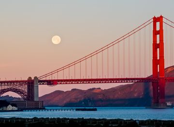
Discover California: A land of diverse landscapes, iconic cities, and endless adventures, from sun-soaked beaches to towering redwoods and vibrant cultural experiences.
Explore California