From Eve
Know before you go
Hi, I'm Eve. Here are a few practical things to know before exploring Colorado Trail.
Local know-how to help you travel smarter and make the most of every moment.
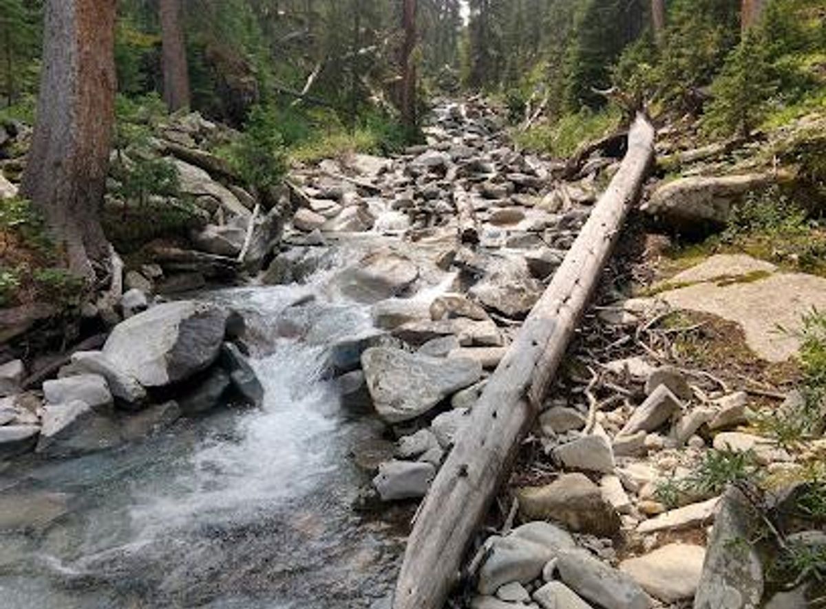
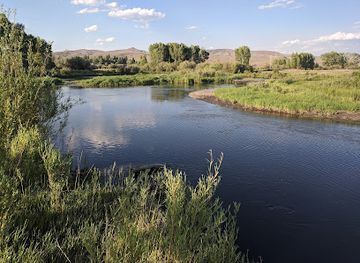
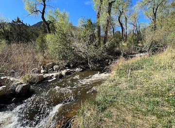
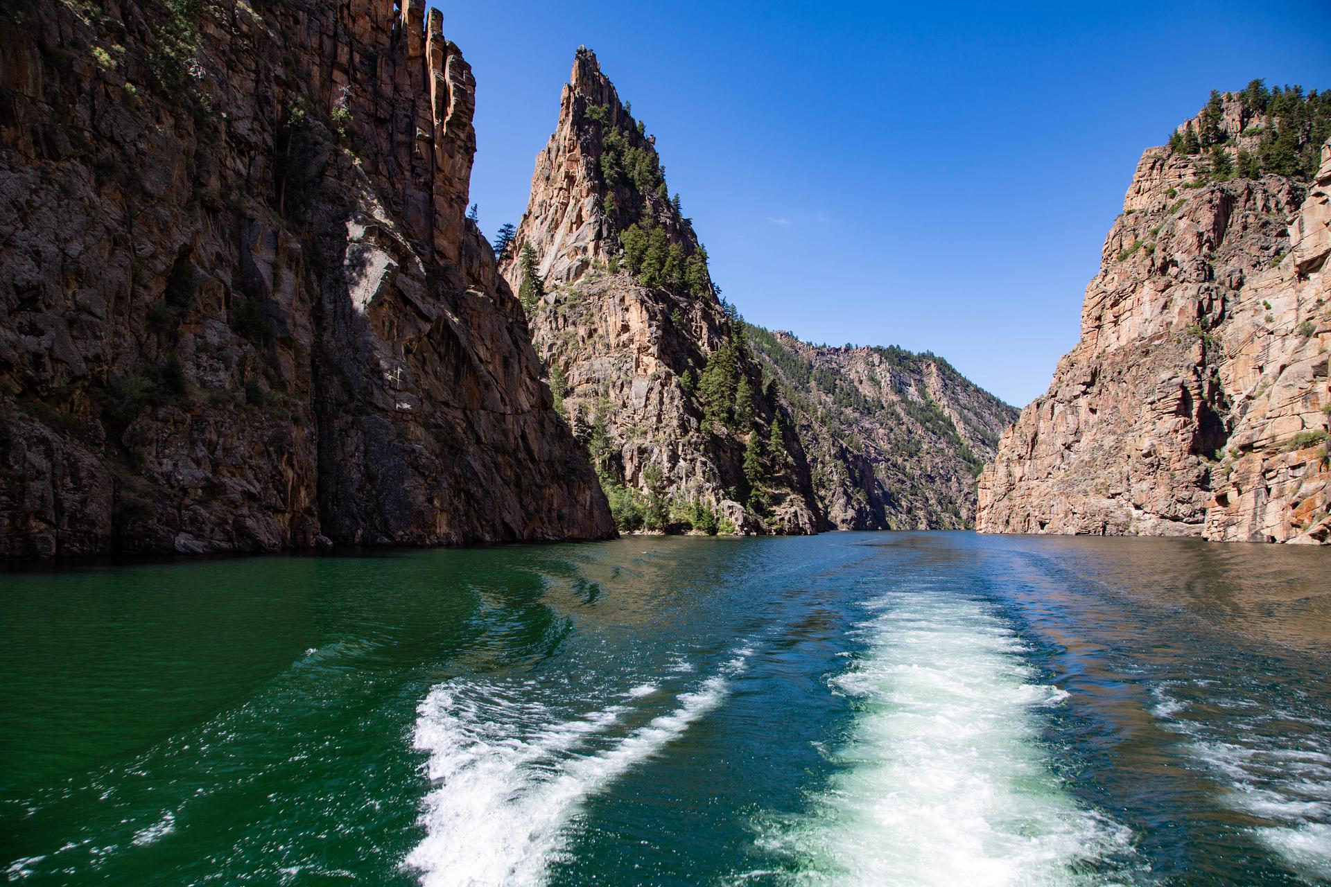
Experience Colorado's Majestic Rocky Mountains: A 486-Mile Journey Through Diverse Landscapes and Rich History on the Colorado Trail.
The Colorado Trail is a 486-mile (782 km) long-distance path stretching from the outskirts of Denver to Durango, Colorado, traversing the state's most stunning mountainous terrain. Completed in 1987, it offers hikers, bikers, and horseback riders an immersive experience through diverse ecosystems and historical landscapes.
Opening times, essentials, and a few local tips gathered into one calmer, easier-to-scan planning section.
Hi, I'm Eve. Here are a few practical things to know before exploring Colorado Trail.
Local know-how to help you travel smarter and make the most of every moment.
Public Transport
Accessing the Colorado Trail via public transport depends on the specific trailhead. For the northern terminus at Waterton Canyon, take the RTD (Regional Transportation District) to a nearby stop and then use a ride-sharing service to reach the trailhead. For the southern terminus near Durango, the Durango Transportation Center provides bus services, and a taxi or ride-share can complete the journey to the Junction Creek Trailhead. Costs vary, with RTD fares around $3 - $6 and ride-sharing services typically costing $15 - $30.
Driving
To reach the Waterton Canyon Trailhead (northern terminus) from Denver, take US-85 S/S Santa Fe Drive to Titan Road in Douglas County. Follow Titan Road to Waterton Road in Littleton. Parking is available, but overnight parking is prohibited. For the Junction Creek Trailhead near Durango (southern terminus), drive north on Main Avenue to 25th Street, then west onto Junction Creek Road (County Road 204) for approximately 3 miles. Limited parking is available at the trailhead. Parking at Denver Airport is around $10-$12 a day.
Use Tower Bridge as your starting point for nearby food, family ideas, nightlife, and more local discoveries.

Explore expert travel guides, compare and book tours, experiences, hotels, and more—all from the palm of your hand. Download now for seamless trip planning wherever your wanderlust takes you.
Discover Gunnison, Colorado's hidden gem nestled in the Rocky Mountains, offering stunning landscapes, outdoor adventures, and a charming small-town vibe.
Tell me more about Gunnison