From Eve
Know before you go
Hi, I'm Eve. Here are a few practical things to know before exploring Røsnæs Fyr.
Local know-how to help you travel smarter and make the most of every moment.

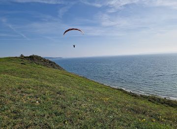
Denmark's westernmost lighthouse, where maritime tradition meets military history on a windswept peninsula.
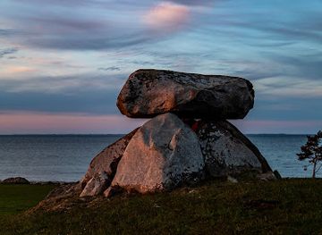
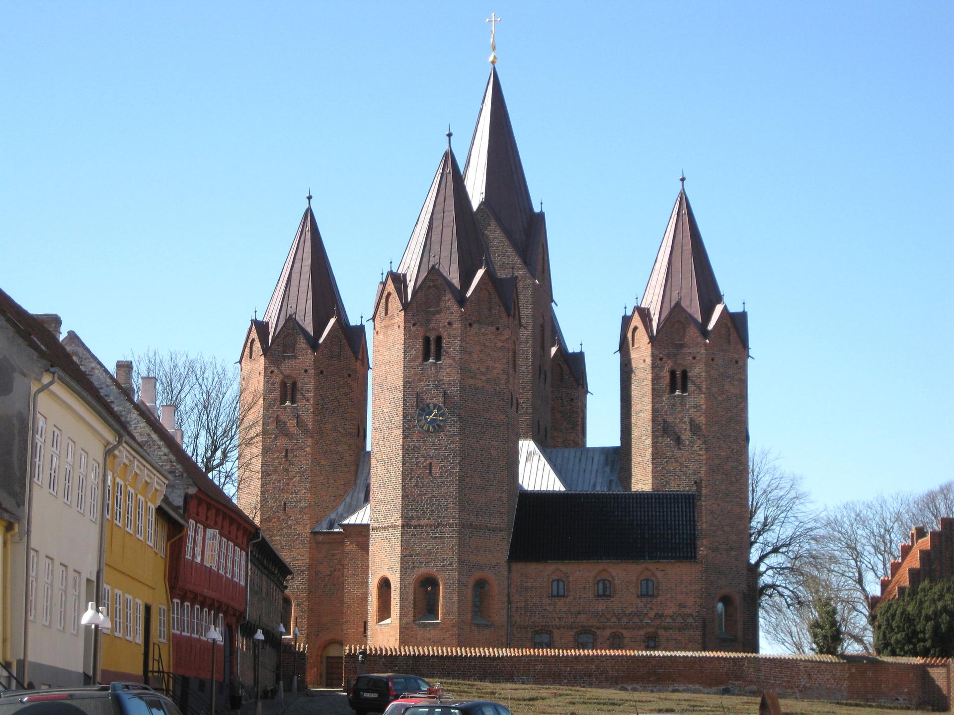
Røsnæs Fyr is a historic lighthouse standing on Denmark's westernmost point on the Røsnæs Peninsula in Kalundborg. Built in 1844–1846 by architect N.S. Nebelong, this 15-meter red-brick tower has guided maritime traffic through the Great Belt strait for nearly two centuries. The lighthouse features an exhibition along its internal staircase and offers panoramic views from the lantern room. The site encompasses rich military history spanning the Napoleonic Wars, World War II German occupation, and Cold War defenses, making it a significant cultural landmark.
Opening times, essentials, and a few local tips gathered into one calmer, easier-to-scan planning section.
Hi, I'm Eve. Here are a few practical things to know before exploring Røsnæs Fyr.
Local know-how to help you travel smarter and make the most of every moment.
Car from Kalundborg
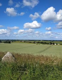
Drive approximately 12 kilometers west from Kalundborg town center via Røsnæsvej toward the peninsula. The journey takes 15–20 minutes. Parking is available near the lighthouse. No toll required. Road is well-maintained year-round.
Bus from Kalundborg Station
Regional bus services operate from Kalundborg Station toward the Røsnæs area, though frequency is limited (typically 2–4 departures daily depending on season). Journey time is approximately 25–35 minutes. Check local transport schedules as service may be reduced in winter months. Single ticket approximately 40–60 DKK.
Bicycle from Kalundborg
A scenic cycling route of approximately 12 kilometers from Kalundborg town center follows quiet rural roads to Røsnæs. Journey takes 40–50 minutes depending on fitness level and terrain. The route is relatively flat with some gentle rolling sections. Suitable for hybrid or road bikes. No dedicated cycle lanes on all sections.
Guided Tour from Kalundborg
Local tourism operators in Kalundborg offer guided visits to Røsnæs Fyr including transportation and interpretation of the site's military and maritime history. Tours typically last 3–4 hours and cost 250–400 DKK per person. Advance booking recommended, especially during peak season (May–September).
Use Røsnæs Fyr as your starting point for nearby food, family ideas, nightlife, and more local discoveries.
A quick look at seasonal patterns and peak visiting hours.

Explore expert travel guides, compare and book tours, experiences, hotels, and more—all from the palm of your hand. Download now for seamless trip planning wherever your wanderlust takes you.
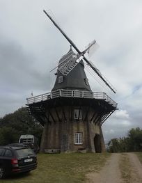
Discover Kalundborg, a picturesque Danish town with rich history, stunning landscapes, and a vibrant cultural scene. Perfect for nature lovers and history enthusiasts alike.
Tell me more about Kalundborg