From Eve
Know before you go
Hi, I'm Eve. Here are a few practical things to know before exploring Natomolen.
Local know-how to help you travel smarter and make the most of every moment.
A former Cold War naval pier on Ebeltoft Vig, now a raw coastal viewpoint where fishing, diving history and ambitious marine restoration plans meet.
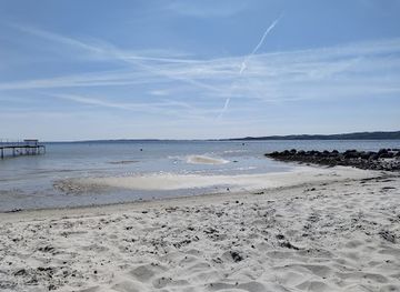
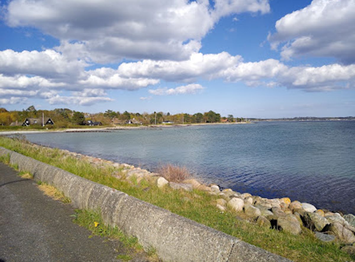
Jutting out into Ebeltoft Vig between Handrup and Lyngsbæk beaches, Natomolen is a former Cold War naval pier turned open coastal spot for anglers, divers and sea-gazers. Built in 1968 to fuel Danish and West German navy vessels, the pier long doubled as an easy-access deep-water platform, offering quick entry to the bay and views across Nationalpark Mols Bjerge. Today, with the original structure largely removed, the area remains a fascinating coastal landscape, with remnants on the seabed, ongoing marine restoration plans and a raw, windswept atmosphere that reveals both the site’s military past and its new life as a nature-focused shoreline.
Opening times, essentials, and a few local tips gathered into one calmer, easier-to-scan planning section.
Hi, I'm Eve. Here are a few practical things to know before exploring Natomolen.
Local know-how to help you travel smarter and make the most of every moment.
Car from Ebeltoft town centre
From central Ebeltoft, driving to the shoreline by the former Natomolen area typically takes 10–15 minutes, depending on traffic. The route follows local coastal and approach roads with normal asphalt surfaces suitable for all vehicles. Parking is limited to small roadside or informal bays near the coast, and spaces can fill quickly in summer and on calm fishing days. There is no parking fee at the shoreline itself, but paid parking options are available closer to Ebeltoft if you prefer to leave the car there and continue by bicycle.
Local bus and short coastal walk
Regional buses serving the Ebeltoft–Mols area run several times a day, with stops along the main coastal road within walking distance of the former Natomolen shoreline. The ride from Ebeltoft bus station to the closest stop usually takes 15–25 minutes. A standard single ticket in East Jutland is typically around 20–35 DKK, depending on zones and concessions. From the stop, expect a 10–20 minute walk on minor roads and paths, mostly flat but potentially uneven or muddy in wet weather, so this option is better for visitors with reasonable mobility.
Bicycle from Ebeltoft and nearby beaches
Cycling from Ebeltoft or from Handrup and Lyngsbæk beaches is a practical way to reach the area, especially in summer. Expect 20–40 minutes of riding each way from Ebeltoft, on a mix of minor roads and sections where you share space with local traffic. The terrain is gently rolling rather than steep. There are no dedicated bike racks directly on the shoreline, so bring a lock and be prepared to leave your bicycle at a suitable spot along the coastal road or on firm ground off the main track.
Catch the right light and the right mood, whether you want a bright city moment or a more cinematic evening visit.


Use Tower Bridge as your starting point for nearby food, family ideas, nightlife, and more local discoveries.
A quick look at seasonal patterns and peak visiting hours.

Explore expert travel guides, compare and book tours, experiences, hotels, and more—all from the palm of your hand. Download now for seamless trip planning wherever your wanderlust takes you.
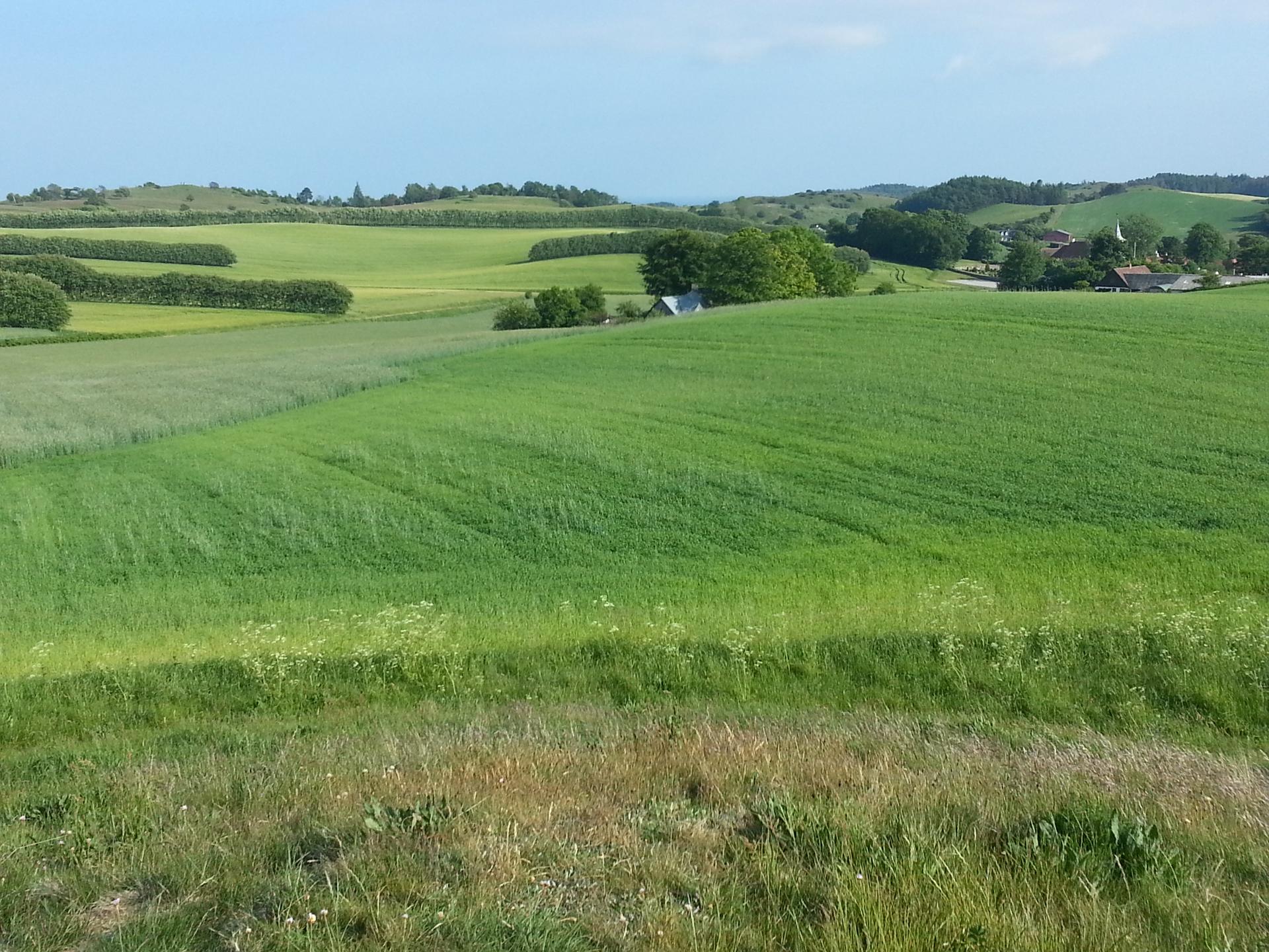
Discover the natural beauty and historical charm of Mols Bjerge National Park, where rolling hills, ancient woodlands, and serene lakes create a perfect outdoor escape.
Tell me more about Mols Bjerge National Park