From Eve
Know before you go
Hi, I'm Eve. Here are a few practical things to know before exploring Mount Lamlam Summit.
Local know-how to help you travel smarter and make the most of every moment.

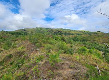
Hike to Guam's highest point, Mount Lamlam, for breathtaking views and a glimpse into the island's rich cultural heritage.
Ascend Mount Lamlam, Guam's highest point, for panoramic views and a connection to the island's Chamorro heritage. This moderate hike offers stunning vistas and a sense of accomplishment, blending natural beauty with cultural significance.
Opening times, essentials, and a few local tips gathered into one calmer, easier-to-scan planning section.
Hi, I'm Eve. Here are a few practical things to know before exploring Mount Lamlam Summit.
Local know-how to help you travel smarter and make the most of every moment.
Driving
From Guam International Airport, take Route 1 south towards Hagåtña. Continue on Route 1, then merge onto Route 2 south. Follow Route 2 to Umatac. The trailhead is located across from the Cetti Bay Overlook. Parking is available at the overlook. Be aware that parking can be limited, especially on weekends.
Public Transport
From Guam International Airport, take the Blueline 1 bus to the Calvo's Building in Hagåtña. From there, transfer to the Southern Shuttle. The Southern Shuttle stops at the Hågat Mayor's Office. From there, it is difficult to reach the trail head without a taxi or rideshare. The bus service operates Monday through Saturday with limited hours. Bus fare is $2 - $5.
Taxi/Ride-share
From Guam International Airport, a taxi or ride-share to the Mount Lamlam trailhead (Cetti Bay Overlook) will take approximately 45-60 minutes, depending on traffic. The estimated cost is $60-$80. Several taxi companies operate at the airport.
Use Tower Bridge as your starting point for nearby food, family ideas, nightlife, and more local discoveries.

Explore expert travel guides, compare and book tours, experiences, hotels, and more—all from the palm of your hand. Download now for seamless trip planning wherever your wanderlust takes you.
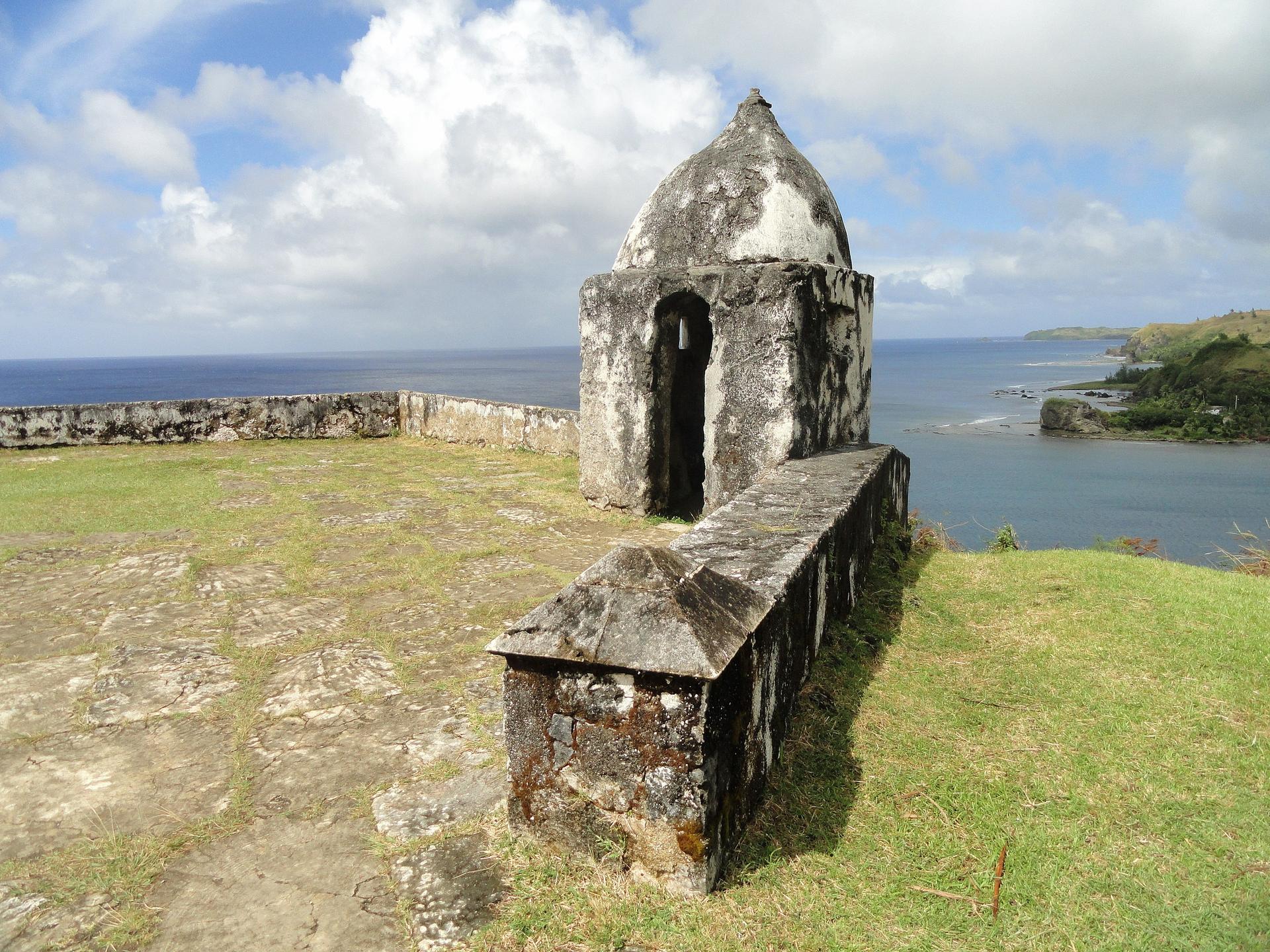
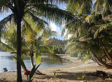
Discover Umatac Bay in Guam: A blend of historical significance, natural beauty, and cultural richness on the island's southwestern coast.
Tell me more about Umatac Bay