

Free Southwest Iowa Travel Guide & Mobile App
Explore Southwest Iowa with free travel guides. Discover regional history, expert tips, proposed trips, and audio guides on web or mobile app.


Explore Southwest Iowa for Loess Hills scenery, Missouri River heritage, historic towns, state parks and an accessible rural American road-trip landscape.
Read more about Southwest Iowa
Getting to and around Southwest Iowa
How to get there
Transportation
Top city travel guides in Southwest Iowa
The cities of Southwest Iowa, and the easiest places to base yourself.
-

-

-

-

-


Swipe for more cities
Destinations in Southwest Iowa
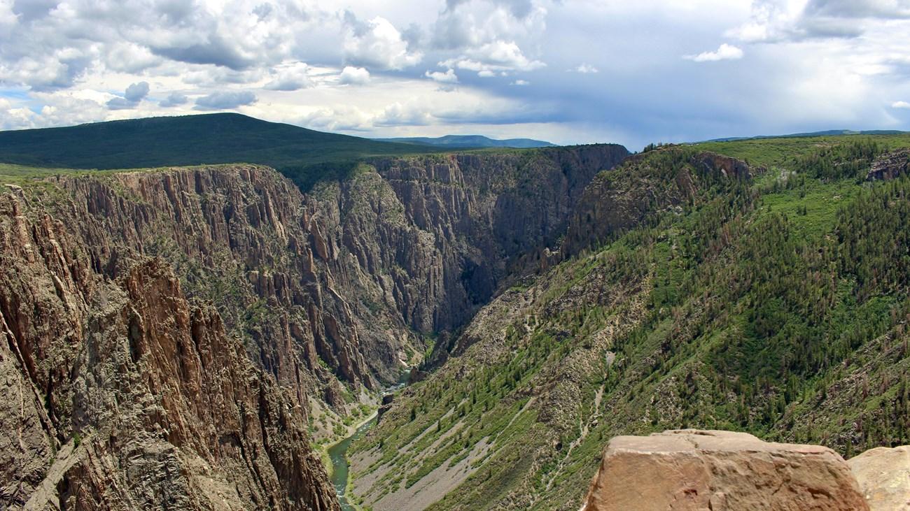
Resorts, valleys and scenic spots worth a trip of their own.
Swipe for more destinations
Best attractions in Southwest Iowa
Southwest Iowa's attractions are spread across several distinct settings. Council Bluffs combines Missouri River history with museums, heritage interpretation and outdoor recreation at places such as Lake Manawa. Its historic sites explain the area's role in Indigenous diplomacy, Mormon emigration, railways and westward travel. Beyond the city, the Loess Hills Scenic Byway leads through one of Iowa's most unusual landscapes, with prairie remnants, woodland, overlooks and trail systems around Hitchcock Nature Center and other conservation areas. Waubonsie State Park, near Hamburg in the southern part of the region, adds wooded bluffs, valley views, camping and walking routes above the Missouri River. Small towns including Red Oak, Shenandoah, Clarinda and Atlantic offer courthouse squares, local museums, historic commercial buildings and seasonal community events. Rural attractions are often modest in scale but rewarding when combined with a scenic drive, county fair, farmers' market or local heritage stop. The region suits visitors interested in landscape, road travel, outdoor activity, agricultural history and the layered story of movement through the Missouri valley.
-
Zoo
Blank Park Zoo
Discover wildlife from around the globe at Blank Park Zoo, Iowa's premier zoological destination for family fun and conservation education.
-
 Sculpture museum
Pappajohn Sculpture Park
Discover world-class modern art in the heart of Des Moines at the Pappajohn Sculpture Park, a free and accessible urban oasis.
-
State park
Maquoketa Caves State Park
Explore Maquoketa Caves State Park: Iowa's stunning natural wonder featuring breathtaking caves, scenic trails, and vibrant wildlife in a serene outdoor setting.
-
Botanical garden
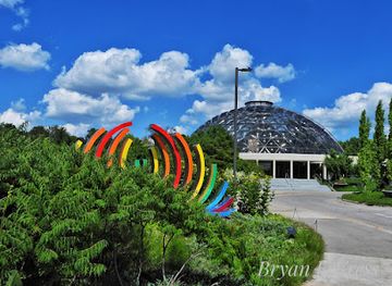
Greater Des Moines Botanical Garden
Discover a vibrant urban oasis in Des Moines, with stunning gardens, unique events, and a tranquil escape into nature.

Best landmarks in Southwest Iowa
The Missouri River bluffs and the historic cityscape of Council Bluffs provide Southwest Iowa's most recognisable built and geographical landmarks. The Kanesville Tabernacle site recalls the period when Council Bluffs served as an important staging area for Mormon emigrants, while the city's historic railway legacy reflects its role as a major western terminus and transport junction. The Loess Hills are the region's defining natural landmark: their long, narrow ridges, steep slopes and prairie remnants create an immediately different landscape from Iowa's broader cultivated plains. Viewpoints and trails at Hitchcock Nature Center make the formation especially accessible near Council Bluffs. In the south, Waubonsie State Park occupies wooded Missouri River bluff country and offers a strong sense of the valley's topography. Historic courthouse squares and commercial streets in towns such as Red Oak, Clarinda, Shenandoah and Atlantic are smaller landmarks, but they express the civic architecture and agricultural wealth of the late nineteenth and early twentieth centuries.
-
Sculpture museum
Pappajohn Sculpture Park
Discover world-class art in the heart of Des Moines at the Pappajohn Sculpture Park, a unique and accessible urban oasis.
-
Botanical garden
Greater Des Moines Botanical Garden
Discover a world of natural beauty in the heart of Des Moines at this 12-acre urban oasis with diverse gardens and a tropical conservatory.
-
Visitor center
Amana Colonies
Discover the Amana Colonies: A unique blend of German heritage and Midwestern charm in Iowa's historic communal villages.
-
Historical landmark
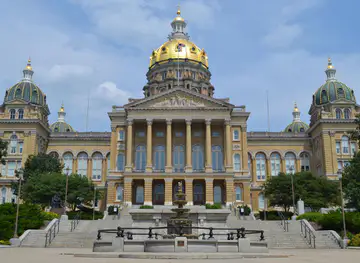
Iowa State Capitol
Discover Iowa's rich history and architectural beauty at the State Capitol, a stunning landmark with a golden dome and free tours.
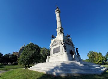
Explore Southwest Iowa on the map
Plan your trip on one map. See where the top cities, national parks and sights are, and book hotels and experiences in a few clicks.
Best hotels in Southwest Iowa
Best restaurants in Southwest Iowa
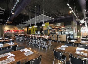
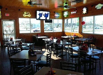
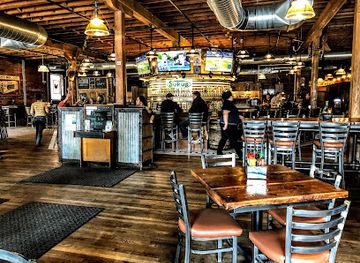
Dining in Southwest Iowa reflects the practical, generous traditions of the American Midwest, with cafés, diners, family restaurants, taverns and locally oriented eateries concentrated in Council Bluffs and the larger county seats. Menus commonly draw on beef, pork, poultry, sweet corn, potatoes, seasonal vegetables and baked goods, while breakfast remains an important café occasion. Farm stands and farmers' markets can provide fruit, vegetables, preserves and other local products when in season. Council Bluffs offers the broadest range of cuisines because of its metropolitan connection with Omaha, although Omaha is across the river in Nebraska rather than part of Southwest Iowa. In smaller towns, food is often closely tied to community events, county fairs and long-established local businesses. Breweries, wineries and contemporary restaurants have added variety without displacing the region's traditional lunch counters and rural dining rooms. Visitors should expect earlier closing times and fewer choices outside the main towns, especially on Sundays and in sparsely settled areas.
-
Hamburger
Zombie Burger + Drink Lab
Discover the quirky charm of Zombie Burger + Drink Lab in Des Moines - where gourmet burgers meet creative cocktails in a fun atmosphere.
-
Barbecue
Jethro’s ‘n Jakes Smokehouse Steaks
Discover mouthwatering barbecue and hearty steaks at Jethro's 'n Jakes in Altoona - a must-visit culinary destination!
-
Restaurant
The Iowa Taproom
Experience the best of Iowa's craft beer culture at The Iowa Taproom - your go-to destination for great food and local brews.
-
Restaurant
Buzzard Billy’s
Discover the vibrant taste of America at Buzzard Billy's in Downtown Des Moines - where flavor meets friendly service.
Best bars in Southwest Iowa
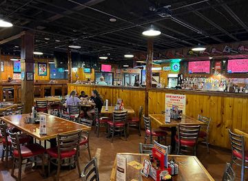
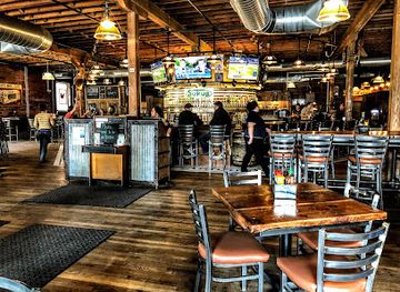
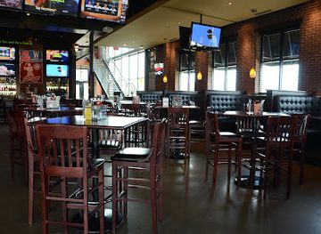
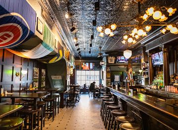
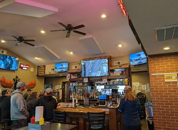
Evening life in Southwest Iowa is centred more on neighbourhood pubs, taverns, restaurants, breweries and community events than on a large nightclub scene. Council Bluffs provides the region's widest choice of places for an evening out, including bars connected with the wider Omaha metropolitan area, though Omaha's nightlife venues are outside Iowa. In smaller towns, a local bar may serve as a social meeting place, while live music, seasonal festivals, county fairs and events at civic venues provide occasional alternatives. Breweries and wine-oriented venues offer quieter options where available, and several communities have restaurants suitable for an early dinner rather than a late night. Opening arrangements and entertainment schedules change, so checking locally is sensible. Designated-driver planning is particularly important when travelling between rural towns, where taxis and app-based rides may be limited.
-
Bar
The Iowa Taproom
Discover the best of Iowa's craft beer culture at The Iowa Taproom, featuring a diverse selection of local brews and delicious American cuisine.
-
Grill
Wellman's Pub & Rooftop
Discover the lively ambiance and delectable cuisine at Wellman's Pub & Rooftop in West Des Moines, the perfect spot for food and fun.
-
Bar
Micky's Irish Pub
Experience the vibrant atmosphere of Micky's Irish Pub, where traditional Irish cuisine meets American favorites in Iowa City.
-
Grill
Nite Hawk Bar & Grill
Discover the charm of Slater, Iowa, at Nite Hawk Bar & Grill, where delicious American cuisine meets a welcoming atmosphere.
Best nightclubs in Southwest Iowa
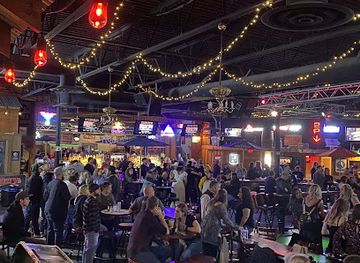
Evening life in Southwest Iowa is centred more on neighbourhood pubs, taverns, restaurants, breweries and community events than on a large nightclub scene. Council Bluffs provides the region's widest choice of places for an evening out, including bars connected with the wider Omaha metropolitan area, though Omaha's nightlife venues are outside Iowa. In smaller towns, a local bar may serve as a social meeting place, while live music, seasonal festivals, county fairs and events at civic venues provide occasional alternatives. Breweries and wine-oriented venues offer quieter options where available, and several communities have restaurants suitable for an early dinner rather than a late night. Opening arrangements and entertainment schedules change, so checking locally is sensible. Designated-driver planning is particularly important when travelling between rural towns, where taxis and app-based rides may be limited.
-
Gay bar
The Garden Nightclub
Discover The Garden Nightclub, where vibrant nightlife meets live music in the heart of Des Moines' East Village.
-
Bar
Miss Kitty’s Country Bar Dance Nightclub and Honky Tonk
Enjoy the lively atmosphere of Miss Kitty's Country Bar, where dance, live music, and delicious drinks create unforgettable nights in Clive, Iowa.
-
Night club
Woodys Show Club
Discover the energetic nightlife at Woodys Show Club, Cedar Rapids' top adult entertainment venue with thrilling performances and an inviting atmosphere.
-
Night club
PLATFORM
PLATFORM in Downtown Des Moines: A premier night club offering electrifying music, great drinks, and an unforgettable nightlife experience.


Best shops in Southwest Iowa
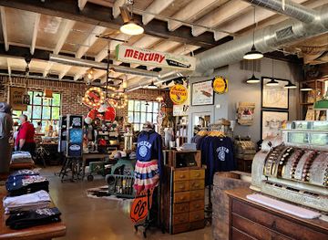
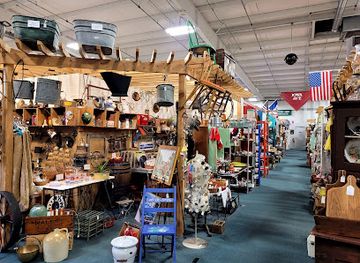
Shopping in Southwest Iowa is concentrated in Council Bluffs and the historic main streets of its market towns rather than in a single regional retail district. Council Bluffs provides everyday retail, supermarkets, antiquarian and independent businesses, while visitors seeking a much larger metropolitan selection can cross the Missouri River to Omaha in Nebraska, outside the region. Towns such as Red Oak, Clarinda, Shenandoah and Atlantic retain locally owned shops, cafés, galleries, antique dealers and service businesses around traditional commercial streets, though stock and opening days vary. Farmers' markets and seasonal community events are useful places to look for produce, preserves, baked goods, handmade items and locally sourced food. Regional souvenirs are more likely to be practical or craft-based than highly specialised, including Iowa food products, prairie-themed goods, books about local history and work by area artists. Rural farm stands may operate seasonally, so visitors should carry cash as well as a card and avoid assuming that every small town has late-opening shops.
-
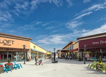
Outlet mall
Outlets of Des Moines
Discover unbeatable deals and a diverse shopping experience at the Outlets of Des Moines, your go-to destination for fashion and family-friendly shopping.
-
Antique store
Antique Archaeology
Discover unique antiques and vintage treasures at Antique Archaeology in Le Claire, Iowa, a haven for collectors and history enthusiasts.
-
Gift shop
Brass Armadillo Antique Mall - Des Moines
Explore the Brass Armadillo Antique Mall in Des Moines for a unique shopping experience filled with vintage treasures, collectibles, and local crafts.
-
Gift shop
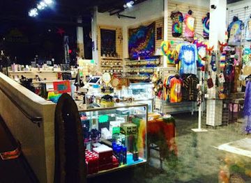
Groovy Goods Daydreams - Tobacco Pipes & Hippie Clothing
Discover a unique blend of tobacco pipes, hippie clothing, and eclectic gifts at Groovy Goods Daydreams in Des Moines, Iowa.
Get your free copy of our complete guide to Southwest Iowa, delivered straight to you.
Everything on this page, from attractions and restaurants to essentials and local phrases, in one PDF you can read offline, print or share.
Already have an account? Sign in
Your Southwest Iowa guide is ready.
We'll send it to · Not you? Sign out

Getting your guide ready…
We are putting together a fresh copy of the Southwest Iowa guide. This can take up to a minute.
This can take a few moments. If your browser asks, choose Allow so the download can start. You'll find the guide in your Downloads folder.
Nothing happened? Download it again
Sorry, the guide is taking longer than usual. Please try again in a minute, or get it by email instead.
Southwest Iowa essentials
Currency and Payment
Safety
Emergency Situations
Do's and Don'ts
Local Tips
From Eve
Local phrases worth knowing
You don't need to get them perfect. A few words go a long way, and locals appreciate the effort.
Basics
| English | Local | Say it |
|---|---|---|
| Hello | Howdy | [How-dee] |
| Goodbye | See ya later | [See ya lay-ter] |
| Yes | Yup | [Yup] |
| No | Nope | [Nope] |
| Please/You're welcome | Please/No problem | [Please/No prob-lem] |
| Thank you | Thanks a bunch | [Thanks a bunch] |
| Excuse me/Sorry | Pardon me/Sorry about that | [Par-don me/Sorry a-bout that] |
| How are you? | How's it going? | [How's it go-ing?] |
| Fine. And you? | Good. And you? | [Good. And you?] |
| Do you speak English? | Do ya speak English? | [Do ya speak English?] |
| I don't understand | I don't get it | [I don't get it] |
Eating & Drinking
| English | Local | Say it |
|---|---|---|
| I'd like to see the menu, please | Can I see the menu, please? | [Can I see the menu, please?] |
| I don't eat meat | I ain't eatin' meat | [I ain't eatin' meat] |
| Cheers! | Cheers! | [Cheers!] |
| I would like to pay, please | Can I get the check, please? | [Can I get the check, please?] |
Emergencies
| English | Local | Say it |
|---|---|---|
| Help! | Help! | [Help!] |
| Go away! | Get lost! | [Get lost!] |
| Call the Police! | Call the cops! | [Call the cops!] |
| Call a doctor! | Get a doctor! | [Get a doctor!] |
| I'm lost | I'm all turned around | [I'm all turned around] |
| I'm ill | I'm not feelin' well | [I'm not feelin' well] |
Shopping
| English | Local | Say it |
|---|---|---|
| I'd like to buy... | I wanna buy... | [I wanna buy...] |
| I'm just looking | Just lookin' around | [Just lookin' around] |
| How much is it? | What’s the price? | [What’s the price?] |
| That's too expensive | That's way too pricey | [That's way too pricey] |
| Can you lower the price? | Can ya bring down the price? | [Can ya bring down the price?] |
Time & Numbers
| English | Local | Say it |
|---|---|---|
| What time is it? | What time ya got? | [What time ya got?] |
| It's one o'clock | It's one o'clock | [It's one o'clock] |
| Half past (10) | Half past ten | [Half past ten] |
| Morning | Morning | [Morning] |
| Afternoon | Afternoon | [Afternoon] |
| Evening | Evening | [Evening] |
| Yesterday | Yesterday | [Yesterday] |
| Today | Today | [Today] |
| Tomorrow | Tomorrow | [Tomorrow] |
| 1 | One | [One] |
| 2 | Two | [Two] |
| 3 | Three | [Three] |
| 4 | Four | [Four] |
| 5 | Five | [Five] |
| 6 | Six | [Six] |
| 7 | Seven | [Seven] |
| 8 | Eight | [Eight] |
| 9 | Nine | [Nine] |
| 10 | Ten | [Ten] |
Transport & Directions
| English | Local | Say it |
|---|---|---|
| Where's a/the...? | Where's the...? | [Where's the...?] |
| What's the address? | What's the address? | [What's the address?] |
| Can you show me (on the map)? | Can ya point it out on the map? | [Can ya point it out on the map?] |
| When's the next (bus)? | When's the next bus? | [When's the next bus?] |
| A ticket (to ....) | A ticket to.... | [A ticket to....] |
History of Southwest Iowa
Indigenous Homelands and Missouri River Exchange
Long before American settlement, the Missouri River valley and the adjacent prairies were home to Indigenous peoples and part of wider networks of travel, exchange and seasonal use. The Omaha, Otoe-Missouria, Pawnee, Ioway and other Native nations had longstanding connections with the region, although communities and territorial relationships changed over time. River terraces, prairie and woodland offered different resources, while the Missouri served as a major route. Later settlement and federal policy dispossessed Indigenous peoples and profoundly altered these landscapes, a history that remains essential to understanding Southwest Iowa.
Exploration and the Council Bluff Encounter, 1804
The region entered the written record of the United States expedition led by Meriwether Lewis and William Clark in 1804. The expedition met with Otoe and Missouri leaders near the Missouri River at a place associated with the Council Bluff area, though the precise location is debated and was not the modern city of Council Bluffs. The encounter formed part of the expedition's diplomatic and intelligence-gathering work after the Louisiana Purchase. Its legacy is reflected in regional interpretation of the river corridor and the area's later significance as a gateway west.
Emigration and the Mormon Trail
During the nineteenth century, the Missouri River opposite present-day Nebraska became a major staging area for emigrants heading west. Members of The Church of Jesus Christ of Latter-day Saints crossed and travelled through the Council Bluffs area in large numbers during their migration to the Great Salt Lake Valley. Their presence helped establish roads, ferries, camps and settlements, while other emigrants followed routes towards Oregon and California. Modern historic markers, trail interpretations and the Kanesville Tabernacle site in Council Bluffs recall the town's importance in this period of overland movement.
Railways and the Growth of Council Bluffs
Railway development transformed western Iowa in the mid- to late nineteenth century. Council Bluffs became a major eastern terminus and transfer point for the Union Pacific's westward route, linking the Missouri River with the expanding transcontinental railway network. Rail connections strengthened local trade, encouraged immigration and settlement, and helped market agricultural products beyond the region. The same era brought new depots, commercial buildings and industrial activity to towns across Southwest Iowa, many of which still preserve fragments of their railway-era main streets.
Agricultural Settlement and Market Towns
As railways and roads expanded, much of Southwest Iowa was organised around farms, elevator towns, county seats and local trading centres. Corn, livestock and other agricultural products shaped the economy, while county courthouses, churches, schools and cooperative institutions became visible expressions of community life. The region's fertile plains and loess-derived soils supported intensive cultivation, although erosion and changing farming practices also affected the land. Early twentieth-century commercial streets in towns such as Red Oak, Shenandoah, Atlantic and Clarinda reflect this agricultural market-town system.
The Loess Hills as a Distinctive Natural Legacy
The Loess Hills were formed from wind-blown silt deposited during the climatic changes surrounding the last Ice Age. Their unusually narrow ridges and steep slopes create a landscape markedly different from the flatter farmland farther east. Settlement, cultivation and road building altered parts of the hills, but prairie remnants and conservation areas preserve important habitat and scenery. In the twentieth and twenty-first centuries, scientific study, conservation work and scenic tourism have helped make the Loess Hills a defining natural and cultural feature of western Iowa.
Modern Transportation, Conservation and Regional Change
Twentieth-century highways, bridges and interstate routes reinforced Southwest Iowa's connection with Omaha, Council Bluffs and national markets, while mechanised agriculture reduced the population of some smaller rural communities. At the same time, state parks, wildlife areas and prairie restorations created new reasons to visit and helped protect habitats in a heavily farmed landscape. Today the region combines an agricultural economy with logistics, cross-river employment, heritage tourism, outdoor recreation and small-town revitalisation, although long distances and rural service gaps remain practical features of travel.
Neighbouring regions of Southwest Iowa
The closest regions to Southwest Iowa, if you have time for more than one.
-

-
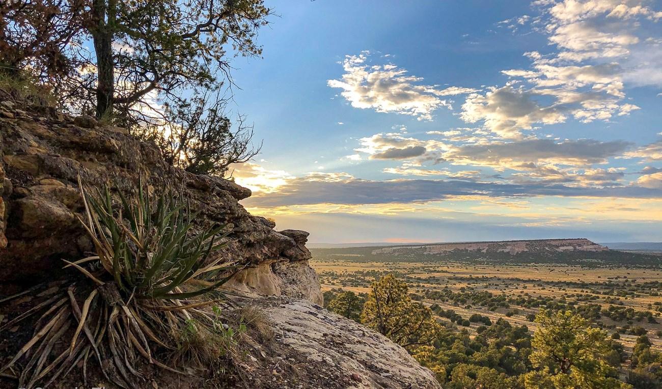 Loess Hills
Discover the rare and enchanting Loess Hills of Iowa, a natural wonder offering breathtaking landscapes, diverse wildlife, and rich cultural history.
-
-
-


Swipe for more regions
Explore more

Explore more of Iowa
Explore Iowa: The American Heartland with its blend of rural charm, vibrant cities, rich cultural experiences, and natural beauty, perfect for nature lovers and cultural enthusiasts.
Explore Iowa