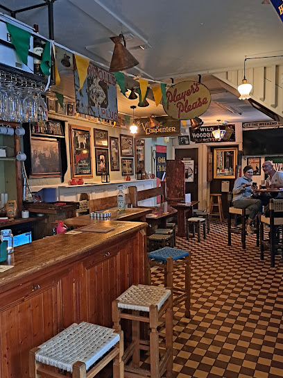
Breathtaking Views at Carrauntoohil
Explore the majestic heights of Carrauntoohil, Ireland's highest peak, and immerse yourself in breathtaking landscapes and exhilarating hiking trails.
Nestled in the majestic landscape of County Kerry, Carrauntoohil offers an unparalleled hiking experience for adventurers and nature lovers alike. Known as Ireland's highest peak, its panoramic views and challenging trails make it a must-visit for tourists seeking an escape into the wild beauty of the Irish countryside. Whether you're an experienced hiker or a casual walker, the mesmerizing scenery and fresh mountain air will leave you rejuvenated and inspired.
A brief summary to Carrauntoohil view
- Unnamed Road, Claddanure East, Co. Kerry, IE
Local tips
- Start your hike early in the morning to avoid crowds and enjoy the peaceful atmosphere.
- Dress in layers and be prepared for sudden weather changes; bring a waterproof jacket.
- Carry enough water and snacks to keep your energy up during the hike.
- Take your time and enjoy the views; there are many scenic spots perfect for photography.
- Consider hiring a local guide if you're unfamiliar with the trails.
Getting There
-
Car
If you are traveling by car, start by heading towards Killarney town. From Killarney, take the N71 road towards Kenmare for about 12 km. When you reach the roundabout, take the second exit onto the R563 towards the Gap of Dunloe. Continue on this road for approximately 10 km until you reach the junction for the R568. Turn right onto the R568 and continue for about 4 km. Look for the signs for Carrauntoohil View and park at the designated area on the Unnamed Road, Claddanure East. There are no parking fees, but it is advisable to arrive early as spaces can fill up quickly.
-
Public Transportation
If you are using public transport, take a bus from Killarney to the Gap of Dunloe. Bus services such as the 40 or 40A operate this route. The journey takes approximately 30 minutes. Once you arrive at the Gap of Dunloe, you will need to walk approximately 3 km along the R563 to reach the viewing area for Carrauntoohil. Ensure you check the bus schedules in advance, as services may be limited, especially on weekends.
-
Hiking
For the adventurous, you can also opt to hike to Carrauntoohil View. Begin at the car park near the Gap of Dunloe and follow the designated hiking trails. The hike will take approximately 1-2 hours depending on your fitness level, and it is advisable to wear suitable hiking gear. Always check the weather conditions before starting your hike, as they can change rapidly in this mountainous area.
Discover more about Carrauntoohil view
Iconic landmarks you can’t miss
Ladies' View Gift Store Cafe Bar & Roof Terrace
8.3 km
Discover the charm of Ladies' View Gift Store Café Bar & Roof Terrace, where shopping meets stunning views in the heart of Killarney.
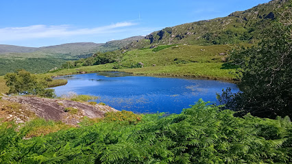
Caha Pass
13.2 km
Discover the stunning vistas and tranquil beauty of Caha Pass, a hidden gem in County Cork, Ireland, perfect for nature lovers and scenic drives.
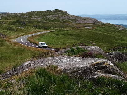
Dinis Cottage
13.7 km
Discover the charm of Dinis Cottage, a cozy coffee shop in Killarney National Park, perfect for relaxation amidst stunning natural beauty.
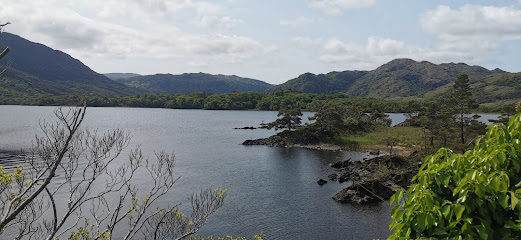
Glena Cottage
14.0 km
Explore Glena Cottage in Killarney National Park, a historical landmark surrounded by breathtaking landscapes and rich Irish heritage.
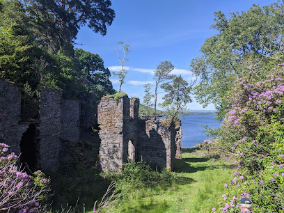
Killarney National Park Car Park
14.2 km
Explore the stunning landscapes of Killarney National Park from the convenient car park, your gateway to adventure in Ireland's natural paradise.
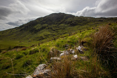
Brickeen Bridge
14.3 km
Experience the breathtaking views and serene atmosphere at Brickeen Bridge, a hidden gem in the heart of Co. Kerry, Ireland.
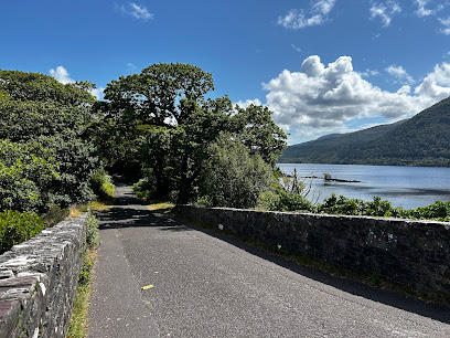
Priest's Leap
15.1 km
Discover the breathtaking beauty and rich history of Priest's Leap, a hidden gem in Co. Cork, perfect for nature lovers and adventure seekers.
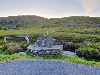
Muckross Lake Boat Tours
15.4 km
Explore the breathtaking beauty of Muckross Lake with scenic boat tours in Killarney, immersing yourself in nature's tranquility and rich history.
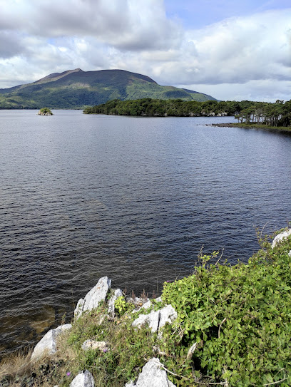
Cronins Yard
15.7 km
Discover adventure and breathtaking landscapes at Cronins Yard, your gateway to Killarney National Park in Co. Kerry.
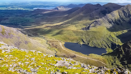
Strickeen Mountain
15.8 km
Explore the breathtaking trails of Strickeen Mountain in County Kerry, where stunning views and nature await every hiker.
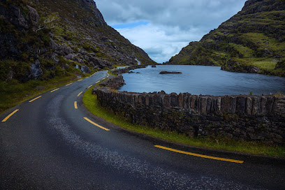
Muckross House
15.9 km
Explore Muckross House, a stunning Victorian mansion in Killarney National Park, showcasing Irish heritage and breathtaking landscapes.
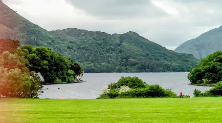
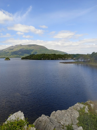
Muckross Traditional Farms
16.1 km
Experience the heart of Ireland at Muckross Traditional Farms, where history, nature, and culture come alive in Killarney National Park.
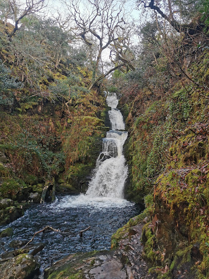
O'Sullivans Cascade
16.2 km
Explore O'Sullivans Cascade in Co. Kerry, a stunning park with beautiful waterfalls and lush trails, perfect for nature lovers and outdoor adventurers.
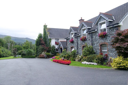
Friars Glen Country House
16.6 km
Discover the enchanting beauty of Killarney at Friars Glen Country House, where comfort meets the captivating landscapes of County Kerry.
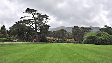
Muckross Horse Riding Centre
16.8 km
Discover the beauty of Killarney National Park on horseback at Muckross Horse Riding Centre, where adventure meets nature.
Unmissable attractions to see
Our Lady's Well
2.6 km
Experience the serene beauty and spiritual essence of Our Lady's Well in Kenmare, a peaceful retreat in the heart of County Kerry.
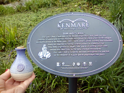
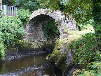
Cromwell's Bridge
2.7 km
Discover the beauty and charm of Cromwell's Bridge, a historic gem in Kenmare, Co. Kerry, where stunning stonework meets breathtaking landscapes.
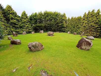
Kenmare Stone Circle
2.7 km
Explore the ancient mystique of Kenmare Stone Circle, a remarkable prehistoric site nestled in the heart of Ireland's stunning landscapes.
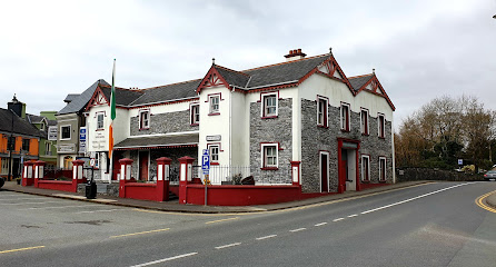
Kenmare Tourist Information Centre
2.8 km
Explore the beauty of Kenmare with insights from the Tourist Information Centre, your go-to hub for local attractions and adventures in County Kerry.
Kenmare
2.9 km
Discover the enchanting beauty and rich culture of Kenmare, a delightful town in County Kerry, Ireland, perfect for any traveler seeking adventure or relaxation.
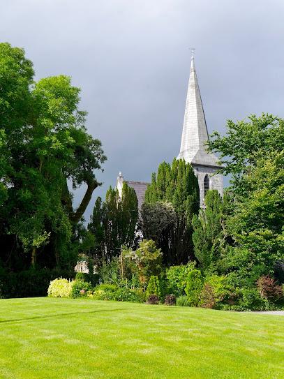
Kenmare Pier
3.1 km
Experience the stunning views and peaceful ambiance of Kenmare Pier, a charming fishing destination in Co. Kerry, Ireland.
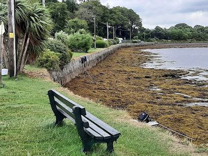
Reenagross Woodland Park Kenmare
3.3 km
Explore the beauty of nature at Reenagross Woodland Park in Kenmare, a tranquil escape in the heart of County Kerry, perfect for nature lovers and outdoor enthusiasts.
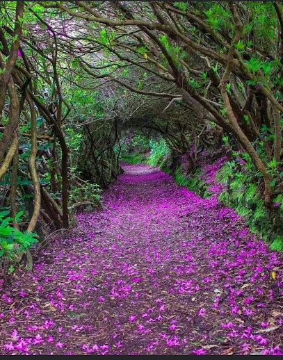
Sheen Cascades
5.3 km
Discover the serene beauty of Sheen Cascades, a captivating waterfall in County Kerry, perfect for nature lovers and photographers.
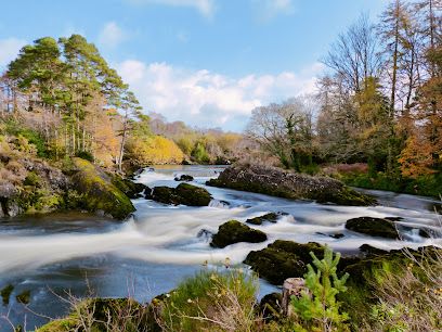
Moll's Gap
5.6 km
Experience the spectacular beauty of Moll's Gap, a scenic mountain pass in County Kerry, Ireland, renowned for its breathtaking views and rich history.
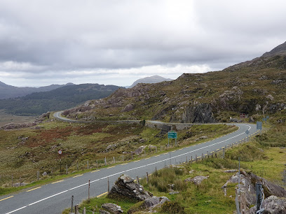
Trout Lake
5.6 km
Discover the tranquil beauty of Trout Lake in Co. Kerry, a perfect spot for relaxation, adventure, and unforgettable memories.
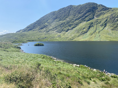
The Black Valley
6.4 km
Experience the breathtaking beauty of the Black Valley in County Kerry, Ireland, a hidden gem perfect for nature lovers and adventure seekers.

Idukki waterfalls
7.5 km
Discover the breathtaking beauty of Idukki Waterfalls in Co. Kerry, a natural paradise perfect for relaxation, hiking, and unforgettable memories.
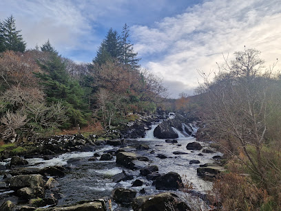
Riverowenreagh (river view)
8.2 km
Discover the serene beauty of Riverowenreagh in County Kerry, a tranquil river view attraction perfect for nature lovers and peaceful retreats.
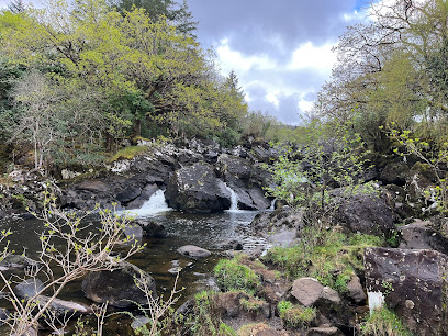
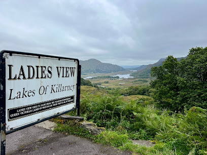
Ladies view
8.3 km
Discover the breathtaking views of Ladies View in Killarney National Park, a must-see for nature lovers and photography enthusiasts.
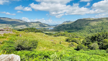
Ladies' View viewpoint
8.4 km
Discover the breathtaking vistas and serene beauty of Ladies' View in Killarney, a must-visit for nature lovers and photographers in Ireland.
Essential places to dine
Kenmare Butter Market Restaurant
2.7 km
Discover Kenmare's finest barbecue experience at Butter Market Restaurant – where local flavors meet exceptional service.
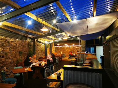
Kenmare Brewhouse
2.8 km
Experience authentic Irish hospitality at Kenmare Brewhouse with delicious cuisine and local brews in the heart of scenic Kenmare.
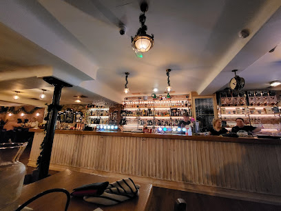
O Donnabhain's
2.9 km
Experience authentic Irish cuisine and vibrant live music at O Donnabhain's in Kenmare - your gateway to local culture!
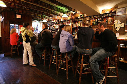
Davitt's Kenmare
2.9 km
Savor authentic Irish cuisine at Davitt's Kenmare – where culinary excellence meets cozy accommodations in scenic Co. Kerry.
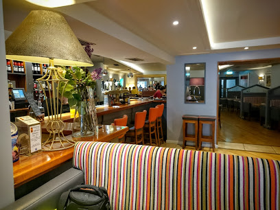
PF McCarthy's Bar & Restaurant
2.9 km
Experience authentic Irish hospitality at PF McCarthy's Bar & Restaurant in Kenmare - where delicious food meets vibrant atmosphere.
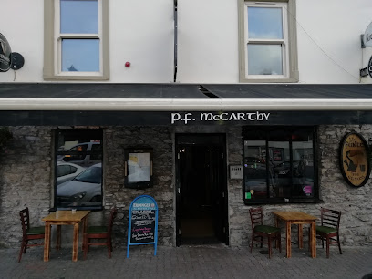
The Purple Heather Bistro & Pub
2.9 km
Experience authentic Irish hospitality at The Purple Heather Bistro & Pub in Kenmare with delightful dishes and local brews.
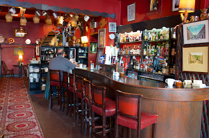
Lagom Restaurant & Accommodation Kenmare
3.0 km
Discover the perfect blend of comfort and culinary excellence at Lagom Restaurant & Accommodation in scenic Kenmare.
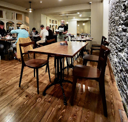
Mulcahys
3.0 km
Discover culinary excellence at Mulcahys in Kenmare, where local flavors meet modern gastronomy for an unforgettable dining experience.
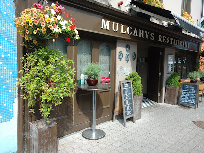
No. 35 Kenmare Restaurant
3.0 km
Discover the heart of Irish cuisine at No. 35 Kenmare Restaurant – where local flavors meet warm hospitality in scenic County Kerry.
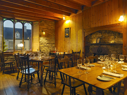
Lily House Thai & Chinese Restaurant
3.0 km
Experience authentic Thai and Chinese cuisine in the heart of Kenmare at Lily House – where every meal is a culinary journey.
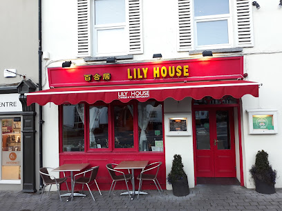
Tom Crean Restaurant
3.1 km
Experience authentic Irish cuisine at Tom Crean Restaurant in Kenmare - where local flavors meet warm hospitality.
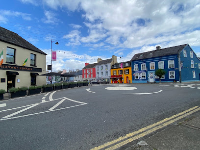
Tom Crean Brewery & Shop Kenmare
3.1 km
Discover the art of craft brewing at Tom Crean Brewery in Kenmare – where tradition meets taste.
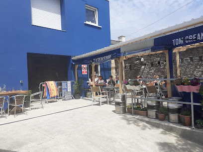
Lime Tree Restaurant
3.1 km
Experience culinary excellence at Lime Tree Restaurant in Kenmare – where local flavors meet modern dining.

The Boathouse Bistro
3.1 km
Discover exquisite dining at The Boathouse Bistro, where local flavors meet breathtaking views in County Kerry.
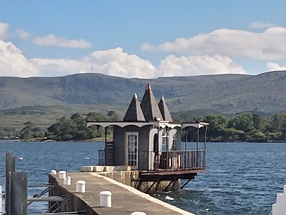
Park Hotel Kenmare
3.2 km
Discover unparalleled luxury at Park Hotel Kenmare—an enchanting blend of fine dining, lavish accommodations, and serene spa experiences amidst stunning Irish landscapes.

Markets, malls and hidden boutiques
Murphy's SuperValu
2.8 km
Explore the finest local produce and gourmet offerings at Murphy's SuperValu, the heart of Kenmare's shopping experience.

Kenmare Street Boutique
2.8 km
Explore Kenmare Street Boutique for unique fashion and local craftsmanship in the heart of County Kerry, Ireland.
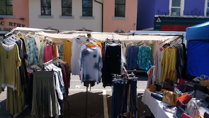
Weavers of Ireland
2.9 km
Explore Weavers of Ireland in Kenmare for authentic Irish clothing, vintage treasures, and unique craft items that embody the spirit of Ireland.
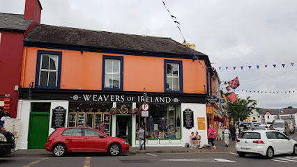
Glenaran Irish Market
2.9 km
Discover the authentic craftsmanship of Ireland at Glenaran Irish Market in Kenmare, a treasure trove of unique handmade goods.
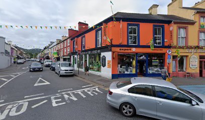
Quills Irish Gift Store
2.9 km
Discover the heart of Irish culture at Quills Irish Gift Store in Kenmare, where unique clothing and authentic gifts await every visitor.
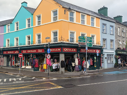
Nest
2.9 km
Discover unique gifts, baby products, and stylish clothing at Nest, Kenmare's charming gift shop, perfect for tourists seeking local treasures.
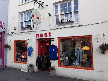
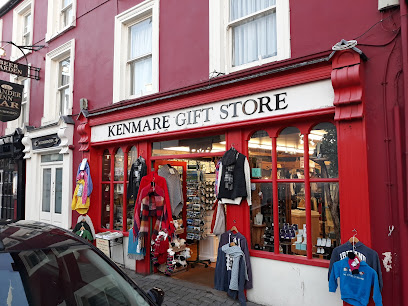
Kenmare Gift Shop
2.9 km
Discover unique treasures and local crafts at Kenmare Gift Shop, the ideal stop for tourists seeking special souvenirs in County Kerry.
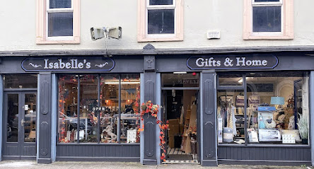
Isabelle's Gifts and Home
2.9 km
Explore Isabelle's Gifts and Home in Kenmare for unique ornaments and stylish accessories that embody the charm of Ireland.
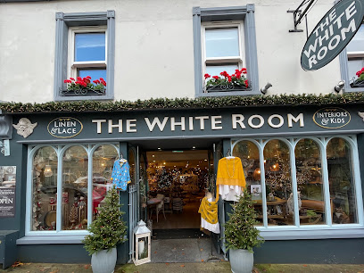
The White Room
3.0 km
Discover unique home goods and charming children's clothing at The White Room in Kenmare, where Irish craftsmanship meets style and comfort.
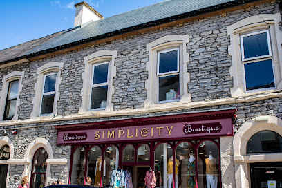
Simplicity Boutique
3.0 km
Discover unique fashion and handcrafted jewelry at Simplicity Boutique in Kenmare, a stylish haven for tourists seeking local elegance.
Roddy O'Donoghue
3.0 km
Explore the charm of Kenmare at Roddy O'Donoghue, your go-to destination for authentic Irish products and local treasures.
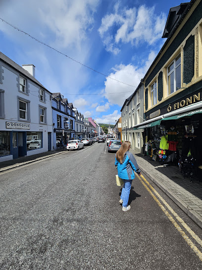
Finnegan's Corner
3.0 km
Discover a unique blend of toys, clothing, and outdoor gear at Finnegan's Corner, the charming store in Kenmare, Co. Kerry.
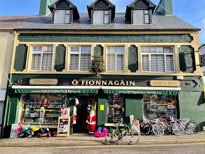
Foley's Irish Crafts
3.0 km
Explore Foley's Irish Crafts in Kenmare for authentic Irish gifts and handcrafted treasures that capture the spirit of Ireland.
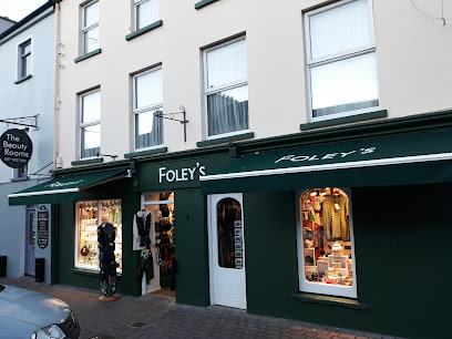
Avoca Molls Gap Shop & Café
5.6 km
Experience the perfect blend of shopping and dining at Avoca Molls Gap Shop & Café, a must-visit in the scenic Ring of Kerry.
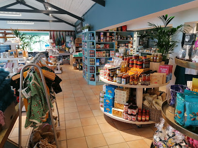
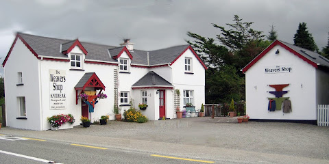
The Weavers Shop
9.6 km
Discover authentic Irish craftsmanship at The Weavers Shop, where handmade treasures await in the heart of Co. Kerry.
Essential bars & hidden hideouts
Cottage Bar
16.7 km
Experience authentic Irish hospitality at Cottage Bar in Glengarriff, where local brews and traditional cuisine await in a cozy setting.
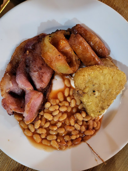
The Brehon Bar
18.6 km
Discover the heart of Irish hospitality at The Brehon Bar, a cozy pub in Killarney serving local drinks and delicious cuisine.
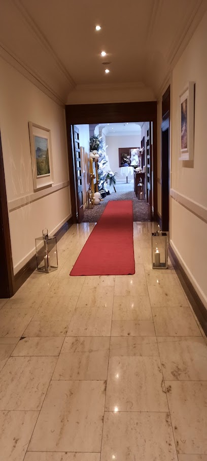
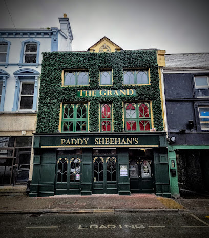
The Killarney Grand
19.7 km
Discover the vibrant atmosphere of The Killarney Grand—a vibrant pub offering traditional Irish cuisine and drinks in the heart of Killarney.
Social 15
19.7 km
Discover the lively atmosphere of Social 15, Killarney's must-visit bar for great drinks and entertainment in the heart of Ireland.

Charlie Foleys Bar and Bed and Breakfast
19.8 km
Discover the authentic charm of Killarney at Charlie Foleys Bar and Bed and Breakfast, where traditional Irish hospitality meets cozy comfort.
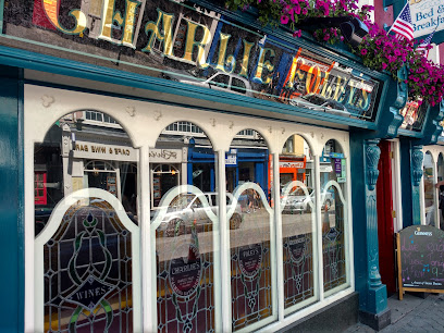
Courtney's Bar
19.8 km
Experience the vibrant local culture of Killarney at Courtney's Bar, where craft drinks and hearty food meet warm hospitality.
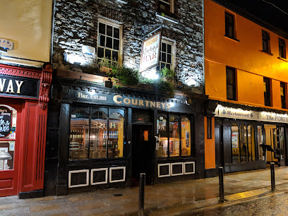
Dunloe Lodge
19.8 km
Experience the heart of Irish culture at Dunloe Lodge, a vibrant bar in Killarney known for its live music and diverse drink selection.
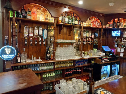
The Garden Bar
19.8 km
Experience the delightful blend of Irish hospitality and culinary excellence at The Garden Bar in Killarney, Co. Kerry.
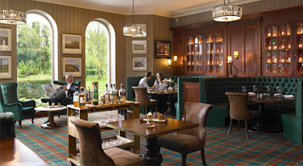
The Garden Bar & Terrace
19.8 km
Discover a serene oasis at The Garden Bar & Terrace in Killarney, where delightful drinks and delicious food meet stunning natural beauty.
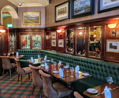
Pig's Lane
19.8 km
Discover the heart of Killarney at Pig's Lane, a vibrant bar perfect for unwinding with friends and enjoying local Irish culture.
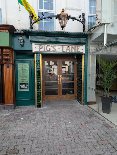
Scruffy's Bar Killarney
19.8 km
Discover the lively spirit of Killarney at Scruffy's Bar, where local culture and hospitality blend in a vibrant, welcoming atmosphere.
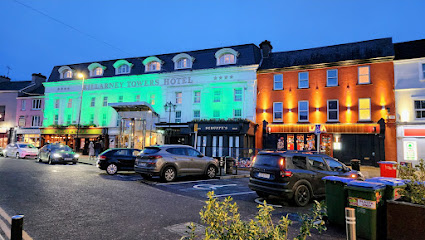
O'Donoghue Public House
19.8 km
Discover the heart of Killarney at O'Donoghue Public House, where traditional Irish food and vibrant live music create a memorable experience.
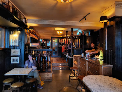
The Laurels Pub & Restaurant
19.9 km
Experience the warmth of Irish hospitality at The Laurels Pub & Restaurant in Killarney, where delicious cuisine meets a lively atmosphere.
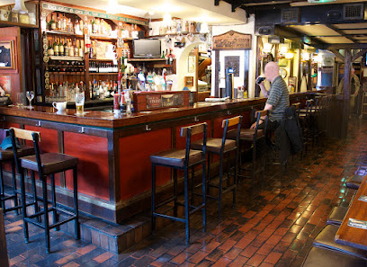
The Golden Nugget Bar & Restaurant
19.9 km
Experience the warmth of Irish hospitality at The Golden Nugget Bar & Restaurant, a delightful spot for food lovers in Killarney.
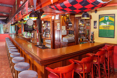
O'Connors Traditional Pub
19.9 km
Discover the heart of Killarney at O'Connors Traditional Pub, where lively music and authentic Irish cuisine create an unforgettable experience.
