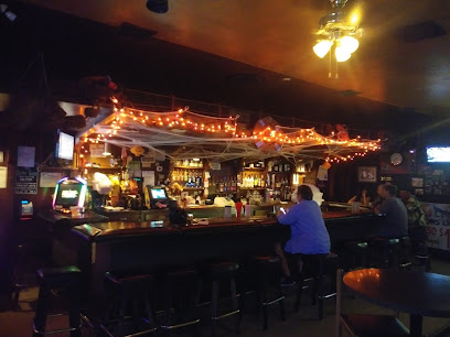
Marble Falls Trailhead: A Foothills Gem
Hike to a stunning waterfall through the rugged beauty of Sequoia National Park's foothills; a moderate trail offering breathtaking views and a rewarding outdoor experience.
The Marble Falls Trailhead, nestled in the foothills of Sequoia National Park, offers a moderate 7.4-mile round trip hike to a stunning waterfall. The trail winds through chaparral, providing glimpses of rugged terrain and diverse plant life. Best visited in late winter or early spring, when wildflowers bloom and the falls are at their peak, the trail offers a rewarding workout with an elevation gain of approximately 1,600 feet. Be prepared for potential stream crossings, poison oak, and the heat of the summer months. The trailhead is easily accessible from the Generals Highway, making it a popular destination for those seeking a moderate hike with beautiful scenery.
A brief summary to Marble Falls Trailhead
- Sequoia National Park, California, 93262, US
- +1559-565-3341
- Visit website
Local tips
- Hike in late winter or early spring to witness the vibrant wildflower displays and enjoy cooler temperatures.
- Be aware of poison oak along the trail and wear appropriate clothing to minimize exposure.
- Carry plenty of water, especially during the warmer months, as the trail is exposed in many areas.
- Check the park's website for current trail conditions and any advisories before heading out.
- Arrive early, especially on weekends, as parking at the trailhead can be limited.
Getting There
-
Driving
From the Generals Highway (CA-198), look for signs for Potwisha Campground. Turn into the campground entrance. If you are not camping, park in the day-use parking area across the Generals Highway from the campground. Walk through the campground, following signs for the Marble Falls Trailhead, located near campsite #14. Note that a park entrance fee of $35 per vehicle is required to enter Sequoia National Park.
-
Walking
From Potwisha Campground (if camping there), walk towards campsite #14. The trailhead is located near campsite #14. Follow the dirt road across the concrete ditch. The trail starts along the steep bank to the right. Note that a park entrance fee of $35 per vehicle is required to enter Sequoia National Park, but if you are entering by foot or bicycle, the fee is $20 per person.
Discover more about Marble Falls Trailhead
Iconic landmarks you can’t miss
Marble Falls Trailhead
0.0 km
Hike to a stunning waterfall through the rugged beauty of Sequoia National Park's foothills; a moderate trail offering breathtaking views and a rewarding outdoor experience.
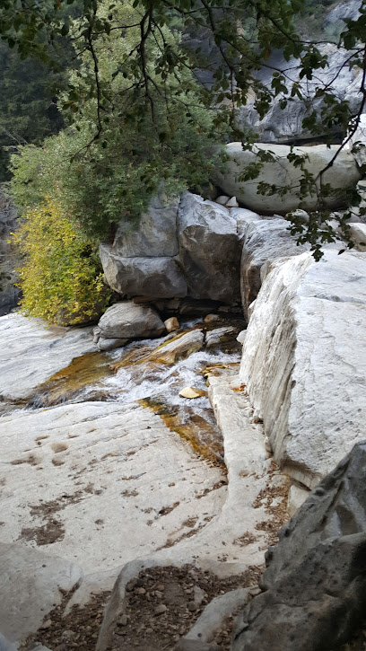
Hospital Rock
2.5 km
Discover ancient Native American pictographs and bedrock mortars at Hospital Rock, a historically significant site nestled in the scenic foothills of Sequoia National Park, California.
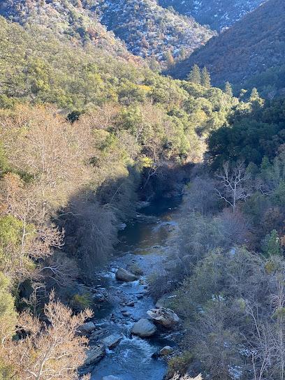
Paradise Creek Trailhead
3.2 km
Discover the serene beauty of Sequoia's foothills on the Paradise Creek Trail, a gentle hike through diverse landscapes, perfect for year-round exploration and nature lovers.
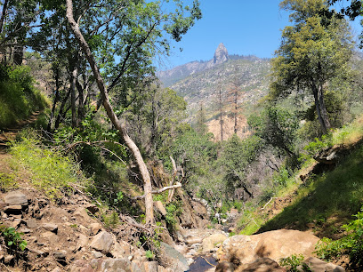
Middle Fork Trail
4.4 km
Hike the Middle Fork Trail in Sequoia National Park for a unique foothills adventure, stunning canyon views, and a chance to escape the crowds and discover hidden gems.
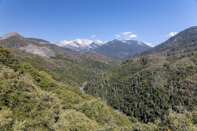
Beetle Rock Trail
5.3 km
Discover panoramic views and natural beauty at Beetle Rock in Sequoia National Park, an accessible granite vista offering a memorable experience for all visitors.
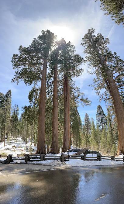
Squatters Cabin
5.8 km
Step back in time at Squatters Cabin in Sequoia National Park, a rustic reminder of the Kaweah Colony's utopian dreams amidst the towering sequoias and breathtaking Sierra Nevada scenery.
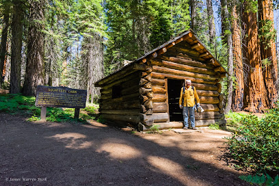
Crescent Meadow
6.2 km
Discover the serene beauty of Crescent Meadow in Sequoia National Park, a lush, sequoia-rimmed oasis offering easy trails, abundant wildlife, and a connection to nature's giants.
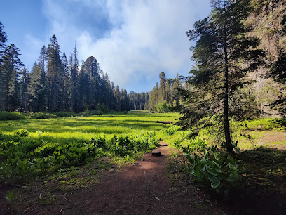
Giant Forest
6.3 km
Discover the awe-inspiring Giant Forest in Sequoia National Park: home to the world's largest trees, offering accessible trails and a profound connection with nature's ancient wonders.
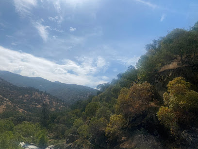
Tharp's Log
6.7 km
Step back in time at Tharp's Log, a remarkable pioneer cabin built inside a fallen giant sequoia, offering a unique glimpse into the early days of Sequoia National Park and the Giant Forest.
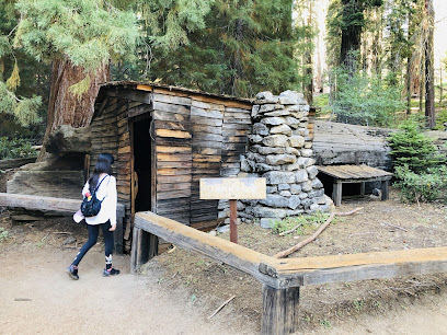
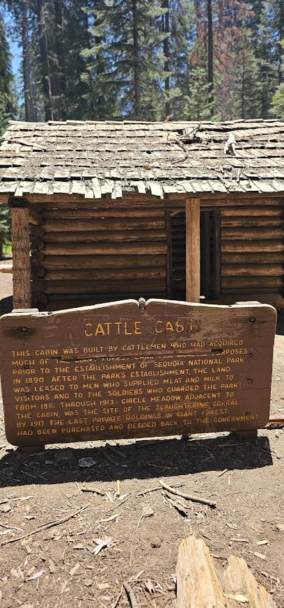
Cattle Cabin
6.8 km
Step back in time at the Cattle Cabin in Sequoia National Park, a historical landmark offering a glimpse into California's ranching past amidst the stunning Giant Forest.
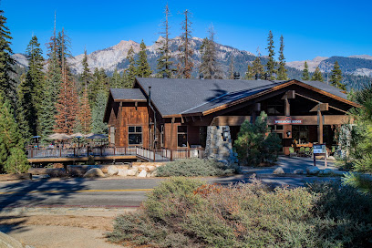
Wuksachi Lodge
10.7 km
Experience rustic elegance in Sequoia National Park at Wuksachi Lodge, offering modern comforts, stunning views, and easy access to the park's iconic giant sequoias and breathtaking wilderness.
The Peaks Restaurant
10.7 km
Experience the beauty of Sequoia National Park while enjoying delectable American cuisine at The Peaks Restaurant, a perfect blend of nature and flavors.
Tokopah Trailhead
11.6 km
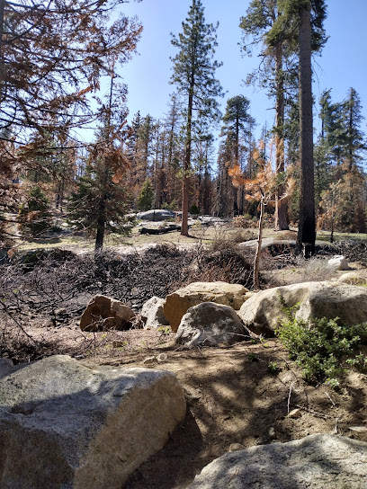
Hike to the stunning 1,200-foot Tokopah Falls in Sequoia National Park, a moderate 3.4-mile trail through granite cliffs and lush forests along the Marble Fork of the Kaweah River.
Muir Grove
12.7 km
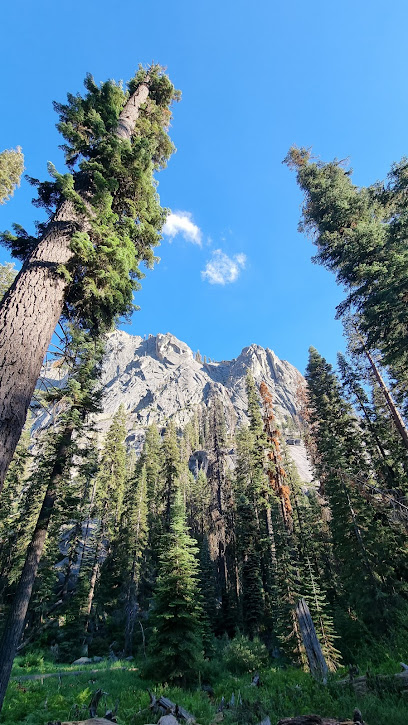
Discover a serene escape among giant sequoias in Muir Grove, a hidden gem in Sequoia National Park offering a tranquil and intimate experience with nature's giants.
Atwell Mill Campground
13.3 km
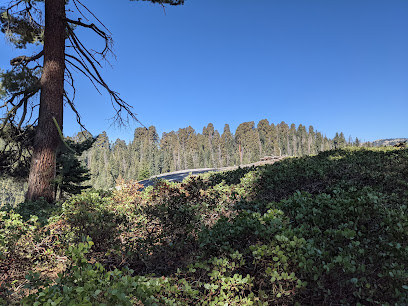
Escape to the serene beauty of Atwell Mill Campground in Sequoia National Park. Discover towering sequoias, pristine wilderness, and unparalleled tranquility in the heart of the Mineral King area.
Unmissable attractions to see
Amphitheater Point
2.4 km
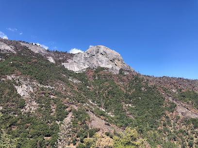
Experience breathtaking Sierra Nevada views from this easily accessible vista point along Generals Highway in Sequoia National Park.
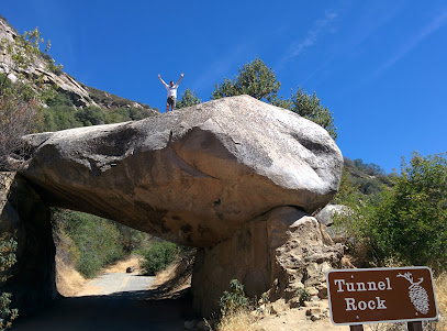
Tunnel Rock
2.4 km
Explore Tunnel Rock, a stunning historical landmark in Sequoia National Park, where nature and history intertwine in breathtaking beauty.
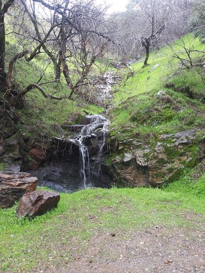
Hospital Rock River Trailhead
2.5 km
Explore the breathtaking landscapes and natural beauty of Hospital Rock River Trailhead in Sequoia National Park, a hiker's paradise in California.
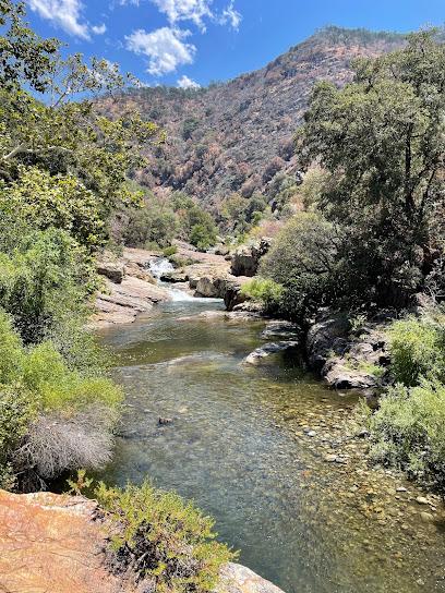
Hospital Rock Picnic Area
2.5 km
Discover ancient pictographs, serene picnic spots, and the rich history of Native Americans at Hospital Rock in Sequoia National Park.
Vista Point
2.6 km
Discover the breathtaking views of Sequoia National Park from Vista Point, a must-visit scenic spot for nature lovers and photographers.
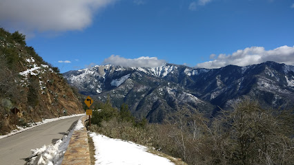
Marble Falls
3.9 km
Experience the serene beauty of Marble Falls, a stunning waterfall in California, perfect for nature lovers and adventure seekers amidst picturesque landscapes.
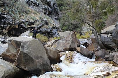
Moro Rock
4.0 km
Explore the breathtaking heights of Moro Rock in Sequoia National Park, where stunning views and natural beauty await every visitor.
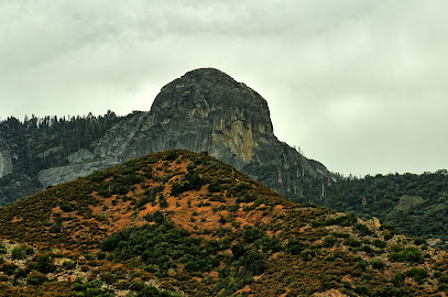
Hanging Rock
4.0 km
Experience breathtaking views from a precariously perched rock in Sequoia National Park. An easy hike with a thrilling reward.
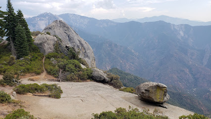
Foothills Visitor Center
4.1 km
Your first stop in Sequoia National Park: Discover exhibits, maps, and ranger info at the Foothills Visitor Center.
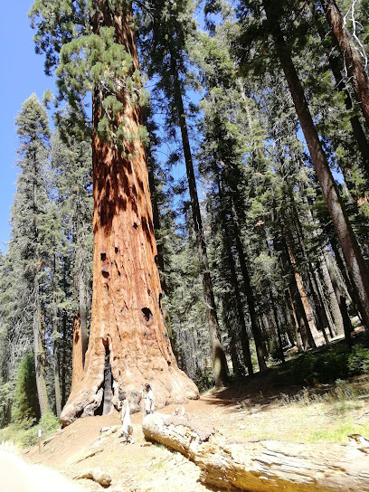
Sequoia & Kings Canyon National Parks - Headquarters
4.1 km
Discover the Sequoia & Kings Canyon National Parks Headquarters, your gateway to majestic landscapes, towering sequoias, and unforgettable adventures in California.
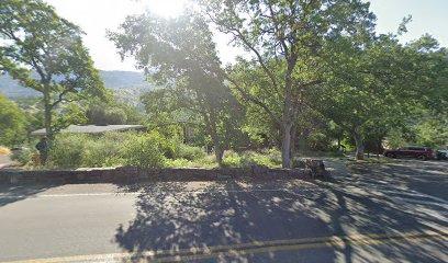
Sequoia Natural History Association
4.1 km
Explore Sequoia & Kings Canyon National Parks with expert guidance, resources & support from the Sequoia Parks Conservancy (formerly SNHA).
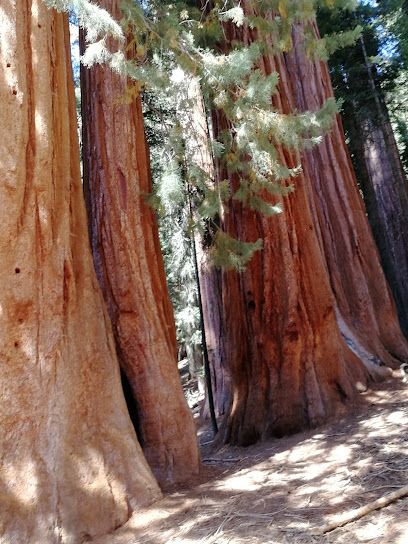
Moro Rock Trail
4.2 km
Experience the breathtaking views and adventurous spirit of Moro Rock Trail in Sequoia National Park, a top hiking destination for nature lovers.
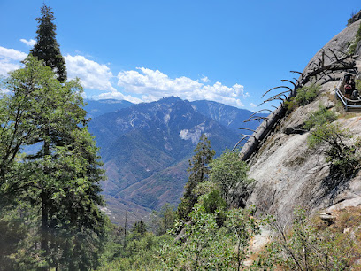
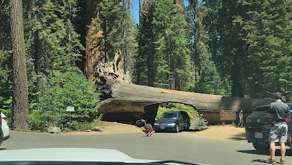
Sequoia National Park's Tunnel Log
4.9 km
Explore the iconic Tunnel Log at Sequoia National Park, a breathtaking natural wonder that showcases the grandeur of ancient sequoias in California.
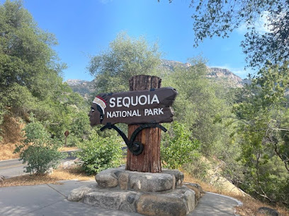
Sign - Sequoia National Park
5.0 km
Discover the beauty of Sequoia National Park Sign, your gateway to ancient trees and stunning landscapes in California's Sierra Nevada.
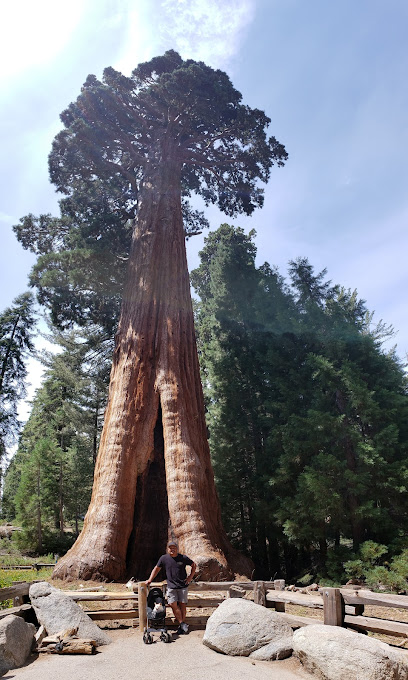
The Giant Forest
5.3 km
Discover the breathtaking beauty of the Giant Forest in Sequoia National Park, home to the largest trees on Earth and serene hiking trails.
Essential places to dine
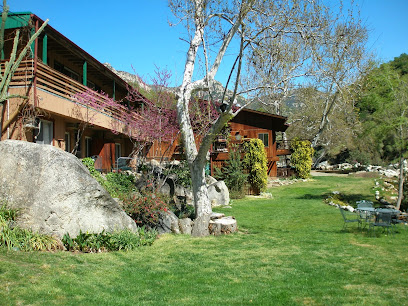
Buckeye Tree Lodge & Cabins
5.7 km
Discover tranquility at Buckeye Tree Lodge & Cabins—your gateway to adventure in beautiful Three Rivers, California.
The Gateway Restaurant & Lodge
5.8 km
Discover the perfect blend of fine dining and cozy lodging at The Gateway Restaurant & Lodge near Sequoia National Park.
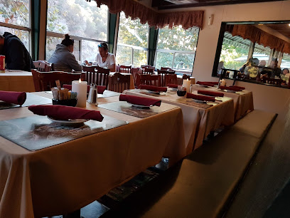
Lodgepole Campground
11.4 km
Experience the tranquility of Lodgepole Campground in Sequoia National Park – where nature meets adventure in California's Sierra Nevada.
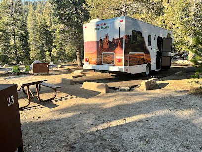
River View Grill & Bar
12.0 km
Discover River View Grill & Bar in Three Rivers: A perfect blend of scenic views and delectable American cuisine awaits you!
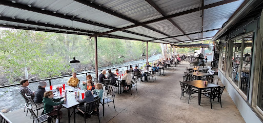
Tony's Taverna On Wheels
12.2 km
Discover delicious Mediterranean flavors at Tony's Taverna On Wheels in Three Rivers – a must-visit culinary experience for every traveler.
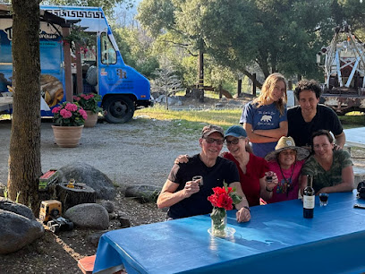
Rio Sierra Riverhouse
12.6 km
Discover tranquility at Rio Sierra Riverhouse - your gateway to adventure near Sequoia National Park in Three Rivers, California.
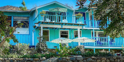
Pupusas La Sabrosa Three Rivers
13.0 km
Discover the authentic flavors of El Salvador at Pupusas La Sabrosa in Three Rivers—where every dish tells a story.
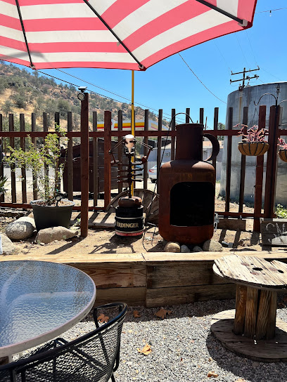
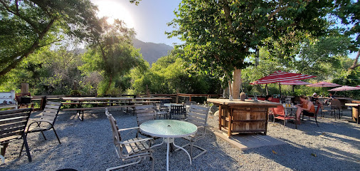
Ol Buckaroo
13.1 km
Discover Ol Buckaroo: A delightful New American restaurant in Three Rivers offering unique flavors and unforgettable dining experiences.
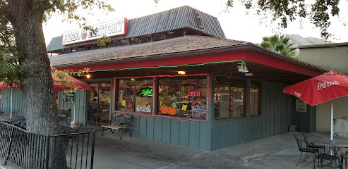
Pizza Factory
14.5 km
Experience family-friendly dining at Pizza Factory in Three Rivers – savor delicious pizzas and authentic Italian cuisine near Sequoia National Park.
Casa Mendoza Mexican Restaurant
14.6 km
Discover authentic Mexican cuisine at Casa Mendoza in Three Rivers—where vibrant flavors meet stunning scenery.
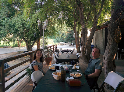
Sequoia Cider Mill Restaurant
15.8 km
Discover delicious American cuisine at Sequoia Cider Mill Restaurant in Three Rivers – perfect for families and nature lovers alike!
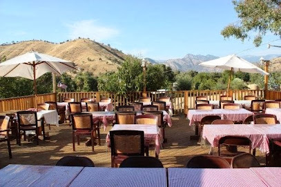
Stony Creek Lodge
16.3 km
Experience rustic charm at Stony Creek Lodge in Sequoia National Park - your perfect retreat into nature's breathtaking beauty.

Lazy J Ranch Motel - Three Rivers, CA
17.0 km
Experience serene stays at Lazy J Ranch Motel in Three Rivers, CA - your gateway to Sequoia National Park's natural wonders.
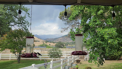
Montecito Sequoia Lodge
20.4 km
Discover the serenity of Montecito Sequoia Lodge nestled in Sequoia National Park – your gateway to outdoor adventures and natural beauty.

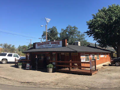
Baker Mountain House
22.5 km
Experience delectable dining at Baker Mountain House in Badger, California—where local flavors meet stunning mountain views.
Markets, malls and hidden boutiques
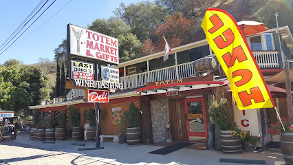
Totem Market & Gifts
7.1 km
Explore Totem Market & Gifts for unique souvenirs, gourmet snacks, and local brews in the heart of California's Sequoia region.
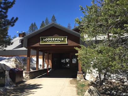
Lodgepole Market & Grill
11.1 km
Discover Lodgepole Market & Grill in Sequoia National Park for local snacks, delicious meals, and unique souvenirs amidst stunning natural beauty.
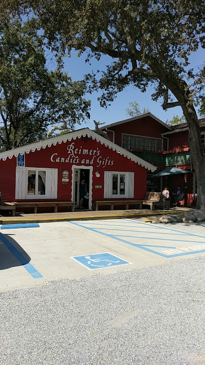
Reimers Candies & Gifts
11.9 km
Discover the sweet side of Three Rivers at Reimers Candies & Gifts, where artisanal treats and delightful gifts await every visitor.
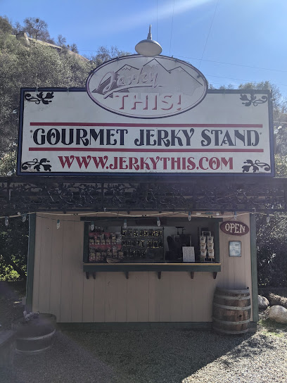
Jerky This!
11.9 km
Discover a gourmet treasure trove of flavors at Jerky This! in Three Rivers, California, where artisanal jerky meets local charm.
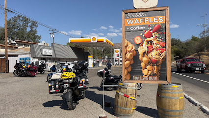
Shell
13.1 km
Discover Sierra Drive in Three Rivers: Your go-to gas station with essential amenities, delicious meals, and a gateway to California's natural beauty.
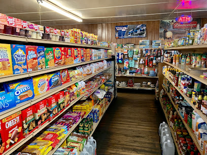
Three Rivers Market
13.1 km
Discover the convenience of Three Rivers Market, your go-to grocery store in Three Rivers, California, offering local goods, snacks, and essentials for your adventures.
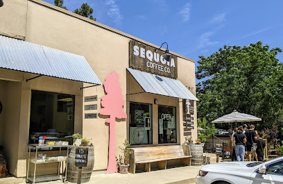
Sequoia Coffee Co.
13.2 km
Enjoy exceptional coffee and a cozy atmosphere at Sequoia Coffee Co., the perfect stop for nature lovers near Sequoia National Park.
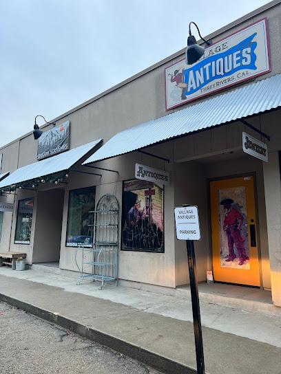
Sequoia Souveniers
13.2 km
Explore Sequoia Souveniers for unique gifts and keepsakes that celebrate the beauty of California's Sierra Nevada region.
Gathered
13.2 km
Discover unique home goods and artisanal treasures at Gathered in Three Rivers, California - a true reflection of local craftsmanship.

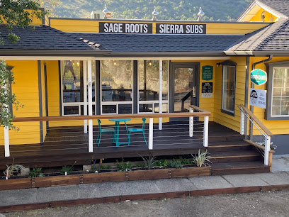
Sierra Subs & Salad
13.2 km
Discover fresh, delicious sandwiches and salads at Sierra Subs & Salad, the perfect stop before your Sequoia National Park adventure.
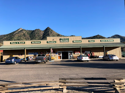
Three Rivers Mercantile
14.2 km
Explore Three Rivers Mercantile, your go-to stop for home improvement, gardening essentials, and local charm in the heart of California's Sierra Nevada.
Village Market
14.6 km
Discover the Village Market in Three Rivers, CA – your go-to grocery store near Sequoia National Park, offering fresh produce, snacks, and local essentials.

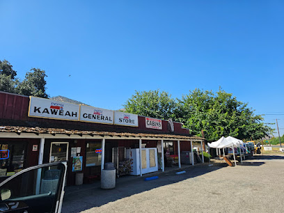
Kaweah General Store
15.5 km
Experience the rustic charm of Kaweah General Store, your go-to spot for local groceries and essentials in Three Rivers, California.
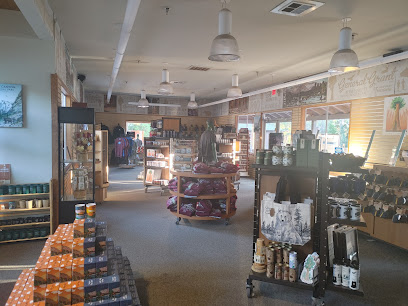
Grant Grove Gift Shop
28.4 km
Discover unique souvenirs and local crafts at Grant Grove Gift Shop, your perfect stop in Sequoia National Park for memorable gifts.
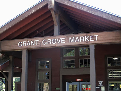
Grant Grove Market
28.5 km
Discover the delightful Grant Grove Market, a grocery store nestled in Sequoia National Park, offering local snacks and essentials for every adventurer.
Essential bars & hidden hideouts
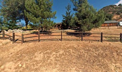
Lake Canyon Ranch
9.0 km
Experience the serene beauty of Lake Canyon Ranch, a perfect bar retreat in Three Rivers, CA, surrounded by nature's splendor.
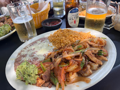
Serrano's Mexican Restaurant
14.6 km
Experience the vibrant flavors of Mexico at Serrano's Mexican Restaurant in Three Rivers, CA, where every dish tells a story.
Next Bar
89.8 km
Experience the lively atmosphere and diverse menu at Next Bar, a must-visit bar and grill in Fresno, California, perfect for socializing and relaxing.

Uncle Tom's Cabin
90.4 km
Discover the charm of Uncle Tom's Cabin, a cozy bar in Fresno offering affordable drinks and a relaxed atmosphere perfect for unwinding.
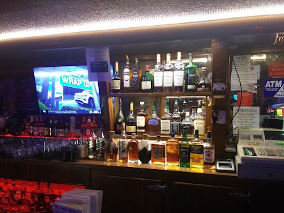
Bespoke
91.2 km
Discover Bespoke, Fresno's premier cocktail bar and event venue, where crafted drinks and a vibrant atmosphere await your visit.

Modernist Craft Cocktail Bar
91.2 km
Experience the art of mixology at Fresno's Modernist Craft Cocktail Bar, where each drink tells a unique story.

Quail State
91.6 km
Discover Quail State in Fresno, CA - a vibrant bar offering unique brunch delights and signature cocktails in a lively downtown setting.

The Bar
92.1 km
Experience the vibrant nightlife of Fresno at The Bar, your go-to spot for karaoke, pool, and fun.
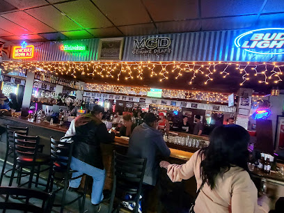
Elliott's Bar
92.8 km
Experience the vibrant atmosphere and diverse culinary offerings at Elliott's Bar, Fresno's premier bar and grill destination.

Howlin Wolf
93.0 km
Discover Howlin Wolf, Fresno's premier cocktail bar, where innovative drinks and lively atmosphere meet in the heart of the Tower District.
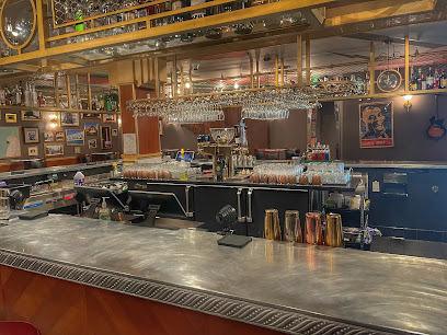
Spokeasy Public House
93.1 km
Discover Spokeasy Public House in Fresno - a vibrant pub with craft beers, local art, and a unique bike-themed atmosphere perfect for relaxation.
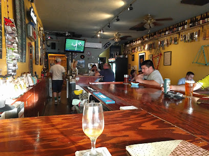
The Shanty
93.2 km
Experience the lively atmosphere, delicious drinks, and unforgettable karaoke nights at The Shanty in Fresno, California.

Lucy's Lounge
93.3 km
Experience the vibrant nightlife of Fresno at Lucy's Lounge, where innovative cocktails meet live music in a welcoming atmosphere.

The Lincoln Pub & Grub
93.4 km
Discover the heart of Fresno dining at The Lincoln Pub & Grub, where delicious grill favorites meet a vibrant atmosphere in the Tower District.

The Captains Brig
93.8 km
Experience the vibrant atmosphere of The Captains Brig, Fresno's favorite cocktail bar offering unique drinks and a lively social scene.
