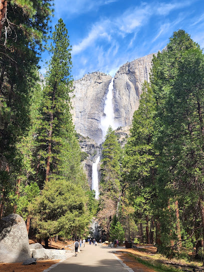
Four Mile Trail: Yosemite's Stairway to Glacier Point
Hike Yosemite's Four Mile Trail for breathtaking views of Yosemite Valley, El Capitan, and Half Dome. A challenging climb to Glacier Point!
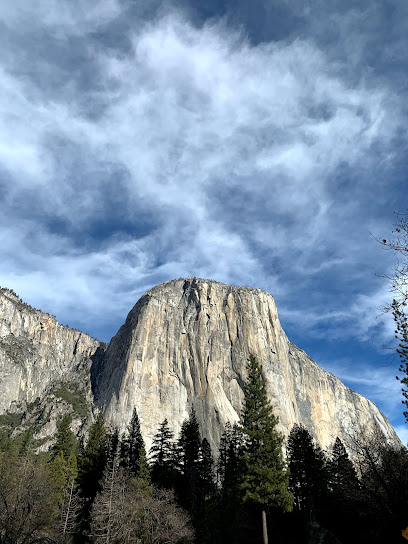
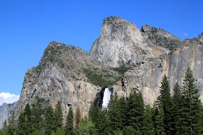
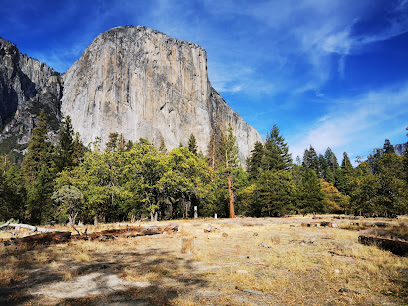
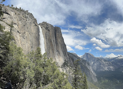
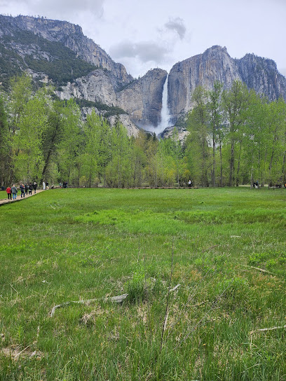
The Four Mile Trail in Yosemite National Park is a strenuous but rewarding hike that climbs from Yosemite Valley to Glacier Point, offering stunning panoramic views of Yosemite Valley, El Capitan, Yosemite Falls, and Half Dome. Despite its name, the trail is actually 4.8 miles (7.7 km) long.
A brief summary to Four Mile Trailhead
- Southside Dr, TUOLUMNE MEADOWS, California, 95389, US
- +1209-372-0200
- Visit website
Local tips
- Start early to avoid the midday heat, as the trail can become very hot.
- Bring plenty of water, as there is no drinking water available along the trail.
- Consider hiking one-way and taking the tour bus back to Yosemite Valley, purchasing tickets in advance.
- Check for trail closures, especially during winter and early spring, due to snow and ice.
- Take a bug net during warmer months to protect yourself from insects.
Getting There
-
Walking
From Yosemite Valley, the Four Mile Trailhead is located along Southside Drive, west of the Swinging Bridge Picnic Area. If starting from Yosemite Valley Lodge, follow the bicycle path towards Swinging Bridge; the trailhead will be a short distance further west. Limited parking is available along Southside Drive. Alternatively, use the free Yosemite Valley Shuttle and exit at stop #11. From the shuttle stop, walk west along Southside Drive to reach the trailhead.
-
Public Transport
To reach the Four Mile Trailhead using public transportation, utilize the free Yosemite Valley Shuttle. The Valleywide Shuttle serves all major areas within Yosemite Valley. Exit the shuttle at Stop #11, which is the designated stop for the Four Mile Trail. From the shuttle stop, proceed west along Southside Drive for a short distance to reach the trailhead. The shuttle operates from 7:00 AM to 10:00 PM, with buses arriving every 12 to 22 minutes.
Discover more about Four Mile Trailhead
Iconic landmarks you can’t miss
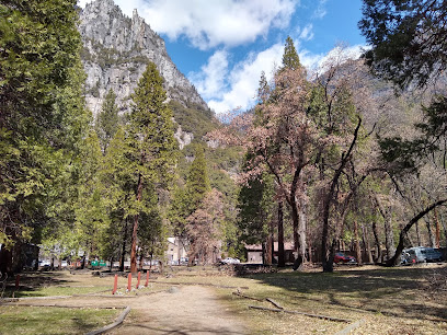
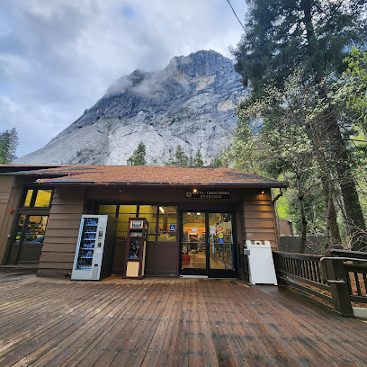
Four Mile Trailhead
0.0 km
Hike Yosemite's Four Mile Trail for breathtaking views of Yosemite Valley, El Capitan, and Half Dome. A challenging climb to Glacier Point!
Yosemite Valley Lodge
1.1 km
Experience Yosemite Valley from this ideally located lodge, offering comfortable rooms, convenient amenities, and easy access to park attractions.

El Capitan Picnic Area
1.8 km
Picnic beneath a giant: Enjoy stunning views of El Capitan in Yosemite National Park at this accessible and scenic picnic spot.
Yosemite Cemetery
2.0 km
Discover the stories of Yosemite's pioneers in this peaceful and historic cemetery nestled in the heart of Yosemite Valley.
Yosemite Wilderness Center
2.1 km
Your first stop for Yosemite wilderness adventures: permits, maps, and expert advice in the heart of Tuolumne Meadows.
Housekeeping Camp
2.1 km
Experience Yosemite's beauty with a touch of comfort at Housekeeping Camp, offering rustic lodging and stunning views in the heart of Yosemite Valley.
Curry Village
2.7 km
Experience Yosemite Valley's charm at Curry Village: lodging, dining, activities, and stunning views beneath Glacier Point.
The Ahwahnee
2.8 km
Experience Yosemite's grandeur at the Ahwahnee Hotel, a historic landmark offering luxury, stunning views, and a connection to the park's natural beauty.
Cathedral Rocks
3.7 km
Experience the grandeur of Yosemite's Cathedral Rocks, a stunning natural landmark offering breathtaking views and challenging climbs.
Hanging Valley Viewpoint
4.4 km
Experience breathtaking panoramic views of Yosemite's Tuolumne Meadows from Hanging Valley Viewpoint, where granite cliffs meet lush wilderness.
Vernal Falls Footbridge
4.5 km
Hike the iconic Mist Trail to Vernal Fall Footbridge for breathtaking views of Yosemite's powerful waterfall and stunning granite landscape.
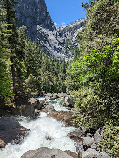
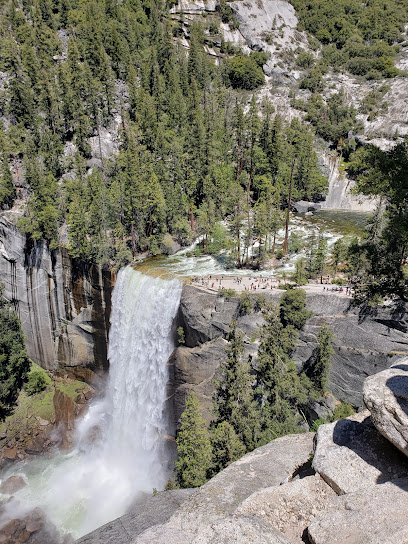
Vernal Falls
5.2 km
Explore the stunning Vernal Falls in Yosemite National Park, a breathtaking natural wonder perfect for hiking and photography enthusiasts.
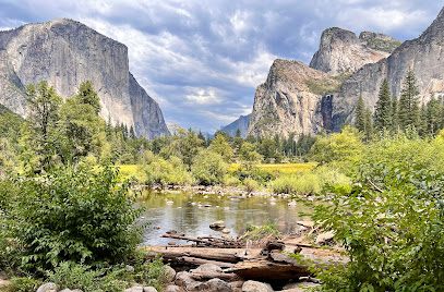
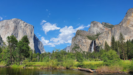
Yosemite Valley View
5.6 km
Experience the iconic Yosemite Valley from this easily accessible viewpoint, offering stunning vistas of El Capitan, Bridalveil Fall, and the Merced River.
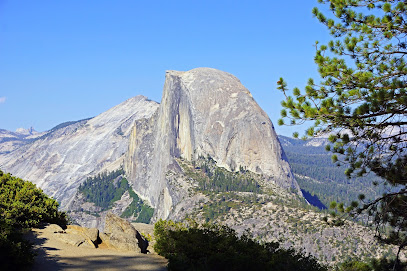
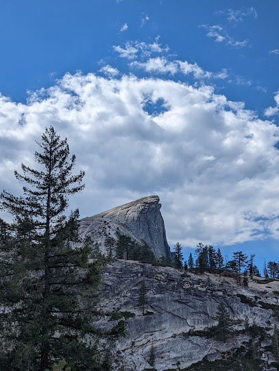
Half Dome
6.2 km
Conquer Yosemite's iconic Half Dome: a challenging hike with breathtaking panoramic views from the summit. Permits required.
Sub dome
6.5 km
Conquer the Sub Dome, conquer Half Dome. A challenging climb with rewarding views in Yosemite National Park.
Unmissable attractions to see
Swinging Bridge Picnic Area
0.4 km
Discover the tranquil beauty of Swinging Bridge Picnic Area in Yosemite National Park, a perfect spot for family picnics and nature lovers.
Yosemite Valley Loop Trail
0.7 km
Explore the breathtaking beauty of Yosemite Valley Loop Trail, a stunning hiking route through America's iconic national park.
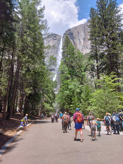
Yosemite Falls Trailhead
0.9 km
Explore the breathtaking beauty of Yosemite Falls Trailhead in California, a must-visit for hiking enthusiasts and nature lovers alike.
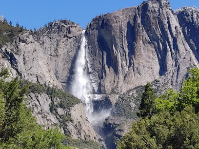
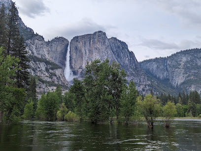
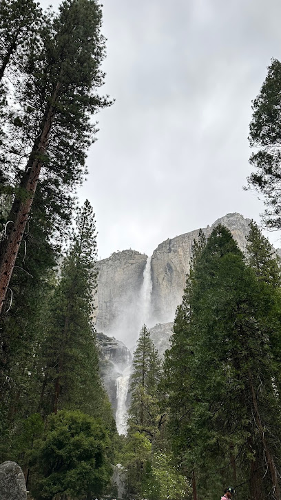
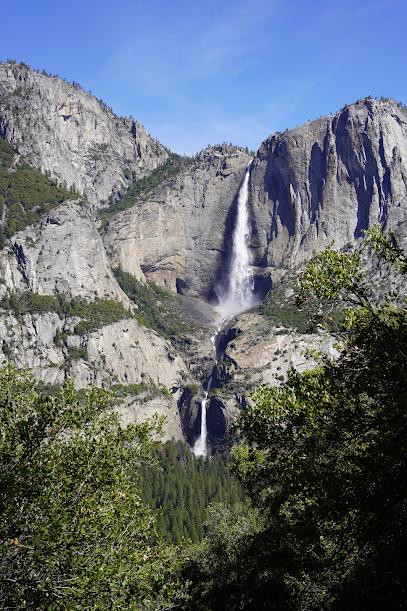
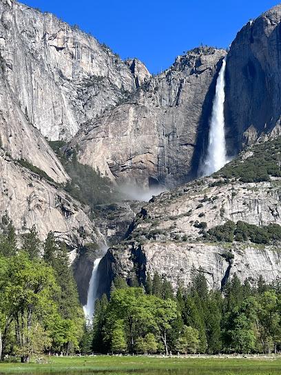
Upper Yosemite Falls
0.9 km
Experience the breathtaking beauty of Upper Yosemite Falls, the tallest waterfall in North America, nestled in the stunning landscapes of Yosemite National Park.
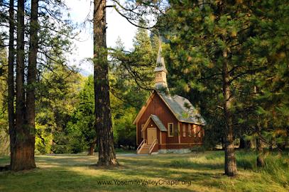
Yosemite Valley Chapel
1.2 km
Discover the tranquil beauty of Yosemite Valley Chapel, a historic gem nestled in the heart of Yosemite National Park, perfect for reflection and inspiration.
Four Mile Trail
1.3 km
Explore the breathtaking Four Mile Trail in California, where panoramic views and diverse landscapes await every nature lover and hiker.
Columbia Rock
1.4 km
Explore Columbia Rock: A Stunning Hiking Destination in Yosemite National Park with Breathtaking Views and Natural Beauty.
Lower Yosemite Fall Trailhead
1.4 km
Discover the breathtaking beauty of Lower Yosemite Falls, a stunning hiking area in the heart of Yosemite National Park, perfect for all adventurers.
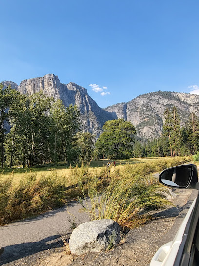
Yosemite Valley
1.5 km
Discover the breathtaking landscapes and outdoor adventures in Yosemite Valley, a national reserve celebrated for its majestic granite cliffs and stunning waterfalls.
Sentinel/Cook's Meadow Loop
1.5 km
Explore the breathtaking beauty of Sentinel/Cook's Meadow Loop, a serene hiking paradise in Yosemite National Park, perfect for nature lovers and adventure seekers.
Sentinel Bridge
1.5 km
Experience the breathtaking views from Sentinel Bridge in Yosemite Valley, a must-see attraction for nature lovers and photographers.
Cook's Meadow Loop
1.6 km
Experience iconic Yosemite views on this easy, accessible loop trail through Cook's Meadow, offering stunning perspectives of Yosemite's natural wonders.
Yosemite Falls View
1.6 km
Discover the breathtaking beauty of Yosemite Falls View, a must-visit attraction in Yosemite National Park known for its stunning vistas and natural wonders.
Lower Yosemite Fall Trl
1.7 km
Explore the stunning Lower Yosemite Fall Trail in California, where breathtaking views and serene nature await every visitor in Yosemite National Park.
Yosemite Village
1.7 km
Explore the breathtaking beauty of Yosemite Village, your gateway to California's iconic national park, rich in nature, history, and adventure.
Essential places to dine
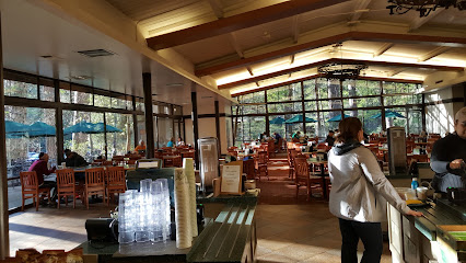
Yosemite Lodge Food Court
1.1 km
Experience delicious meals amidst breathtaking views at Yosemite Lodge Food Court - where nature meets culinary delight.
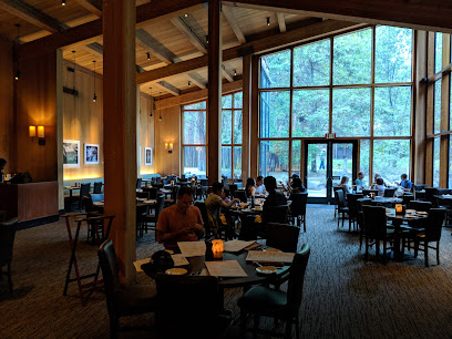
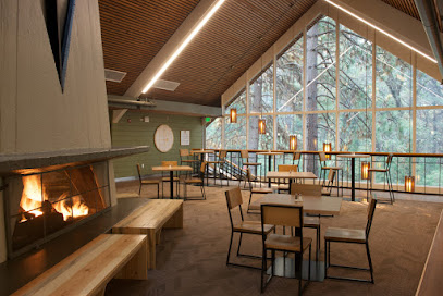
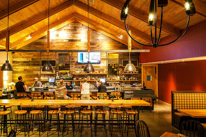
The Mountain Room
1.1 km
Experience exceptional American cuisine with breathtaking views at The Mountain Room in Yosemite Valley Lodge.
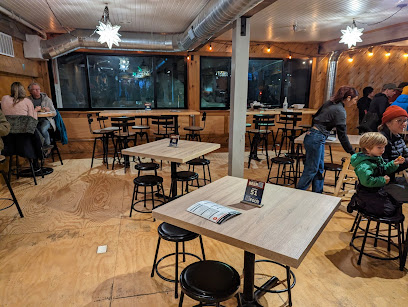
Village Grill
2.1 km
Experience delicious American cuisine at Village Grill in Yosemite National Park - a perfect stop for hungry adventurers!
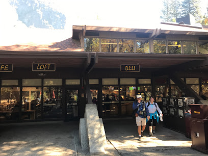
The Loft at Degnan's
2.1 km
Discover The Loft at Degnan's - where delicious pizzas meet stunning Yosemite Valley views.
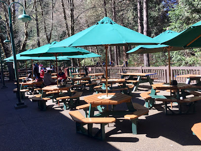
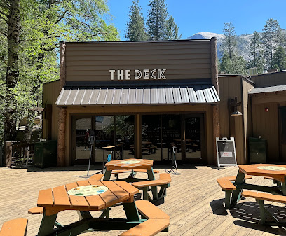
Curry Village Pizza Deck
2.7 km
Savor delicious pizza in the heart of Yosemite National Park at Curry Village Pizza Deck - where nature meets flavor.
Curry Village Dining Pavilion
2.7 km
Experience delightful dining amidst breathtaking views at Curry Village Dining Pavilion in Yosemite Valley.

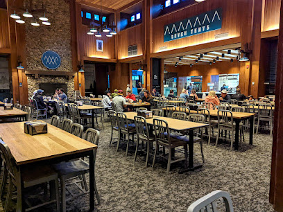
Seven Tents Pavilion
2.7 km
Experience delightful dining at Seven Tents Pavilion amidst Yosemite Valley's breathtaking landscapes.
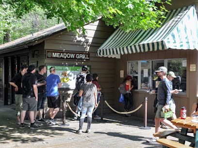
Taqueria @ Meadow Grill
2.7 km
Experience delicious grilled dishes amidst the stunning scenery of Yosemite Valley at Taqueria @ Meadow Grill.
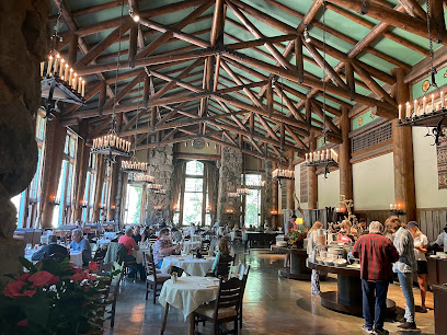
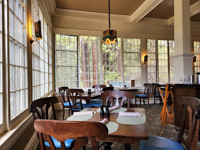
The Ahwahnee Dining Room
2.8 km
Experience fine dining at The Ahwahnee Dining Room in Yosemite National Park - where culinary artistry meets breathtaking natural beauty.
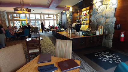
The Ahwahnee Bar
2.8 km
Experience luxury dining at The Ahwahnee Bar amidst Yosemite's breathtaking scenery with craft cocktails and gourmet bites.
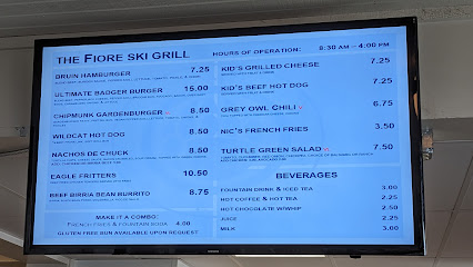
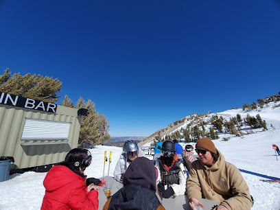
The Skiers Grill
9.6 km
Discover The Skiers Grill: A cozy dining gem in Badger Pass Ski Area offering hearty breakfasts and delicious lunches amidst Yosemite's stunning scenery.
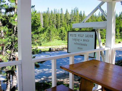
White Wolf Lodge Dining Room
15.7 km
Experience fine dining at White Wolf Lodge Dining Room amidst California's breathtaking High Sierra landscapes.
The River Restaurant & Lounge
15.7 km
Experience the best of American cuisine at The River Restaurant & Lounge, where breathtaking views meet delicious flavors in El Portal.
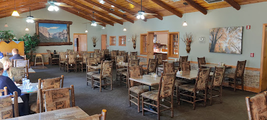
Wawona Hotel Dining Room
22.4 km
Experience delectable American cuisine surrounded by Yosemite's breathtaking beauty at Wawona Hotel Dining Room.
The Restaurant at Rush Creek Lodge
26.1 km
Experience authentic American cuisine amidst stunning natural beauty at The Restaurant at Rush Creek Lodge in Groveland.
Markets, malls and hidden boutiques
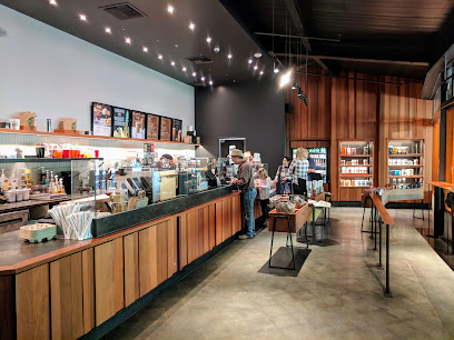
Base Camp Eatery
1.1 km
Experience the flavors of Yosemite Valley at Base Camp Eatery, where delicious meals meet breathtaking views in a casual atmosphere.
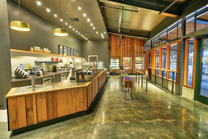
Starbucks Yosemite
1.1 km
Experience a unique coffee haven in the heart of Yosemite National Park, where nature meets the comfort of Starbucks.
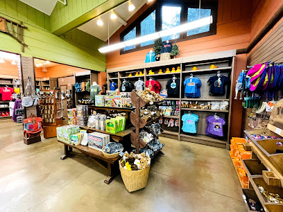
Yosemite Valley Lodge Gift Shop
1.2 km
Discover unique souvenirs and essential supplies at Yosemite Valley Lodge Gift Shop, your gateway to capturing the essence of Yosemite National Park.
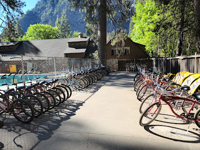
Yosemite Valley Lodge Bike Stand
1.2 km
Discover the breathtaking beauty of Yosemite National Park on two wheels with the Yosemite Valley Lodge Bike Stand, an ideal adventure for all outdoor enthusiasts.
Yosemite Village Parking
1.9 km
Discover the heart of Yosemite National Park with easy parking access to breathtaking views and a free shuttle service around the valley.
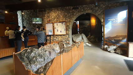
Yosemite Visitor Center
2.1 km
Explore Yosemite National Park's breathtaking beauty starting at the Visitor Center, your gateway to adventure, information, and unforgettable experiences.
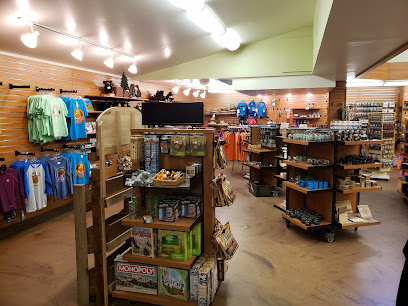
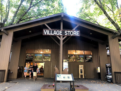
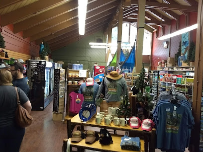
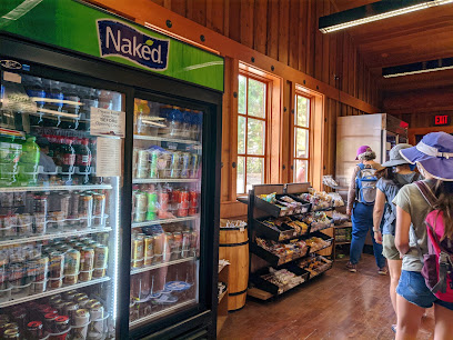
Village Store
2.1 km
Discover the ultimate convenience at The Village Store in Yosemite Valley, offering groceries and unique souvenirs for an unforgettable experience.
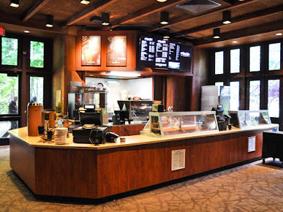
Degnan's Deli
2.1 km
Discover the delicious flavors of Degnan's Deli in Yosemite, where fresh ingredients meet stunning natural beauty for the perfect dining experience.
Housekeeping Camp Store
2.1 km
Explore Yosemite National Park with ease at Housekeeping Camp Store, your go-to for groceries and camping essentials amidst stunning natural beauty.
Glacier Point Gift Shop & Snack Stand
2.6 km
Explore the Glacier Point Gift Shop & Snack Stand for unique souvenirs and tasty snacks amidst Yosemite's stunning beauty.
Curry Village Coffee Corner
2.7 km
Experience the charm of Curry Village Coffee Corner, your perfect retreat in the heart of Yosemite National Park, offering delicious coffee and breathtaking views.
Curry Village Gift and Grocery
2.7 km
Explore the heart of Yosemite with unique souvenirs and grocery essentials at Curry Village Gift and Grocery.
Mountain Shop at Curry Village
2.8 km
Explore Yosemite with ease - the Mountain Shop at Curry Village is your go-to for outdoor gear, groceries, and expert advice.
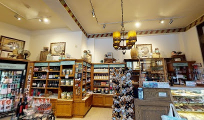
The Ahwahnee Sweet Shop
2.8 km
Discover sweet delights at The Ahwahnee Sweet Shop in Yosemite National Park, where delectable confections meet breathtaking natural beauty.
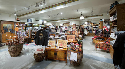
The Ahwahnee Gift Shop
2.8 km
Discover unique souvenirs and outdoor gear at The Ahwahnee Gift Shop, nestled in Yosemite Valley, capturing the spirit of nature's beauty.
Essential bars & hidden hideouts
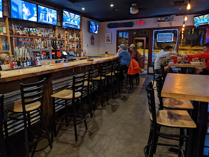
The Mountain Room Lounge
1.1 km
Experience the breathtaking views and delicious local cuisine at The Mountain Room Lounge in Yosemite National Park.
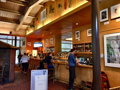
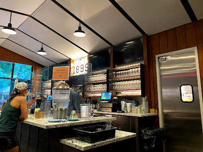
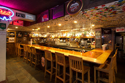
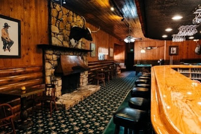
Bar 1899
2.7 km
Experience the rustic charm of Bar 1899 in Yosemite Valley, where refreshing drinks and breathtaking views create unforgettable moments.
Dry Creek Bar
50.4 km
Discover unique cocktails and cozy lodging at Dry Creek Bar, a must-visit cocktail haven in the heart of Mammoth Lakes, California.
Tusks Bar
50.5 km
Experience the vibrant atmosphere of Tusks Bar in Mammoth Lakes, where live music and sports create an unforgettable experience.
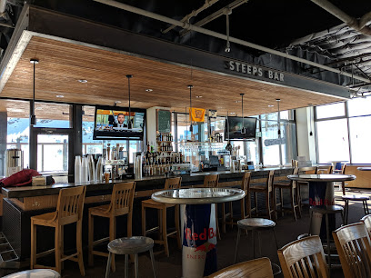
Steeps Bar
51.3 km
Discover Steeps Bar in Mammoth Lakes for a cozy atmosphere, delicious American cuisine, and stunning mountain views, perfect for any traveler.
Basin Bar
52.2 km
Unwind at Basin Bar in Mammoth Lakes, where friendly vibes and local brews blend seamlessly for an unforgettable après-adventure experience.
Grizzly Bar
53.7 km
Experience the warmth and charm of Grizzly Bar, a cozy destination in Mammoth Lakes offering delicious American cuisine and refreshing drinks.
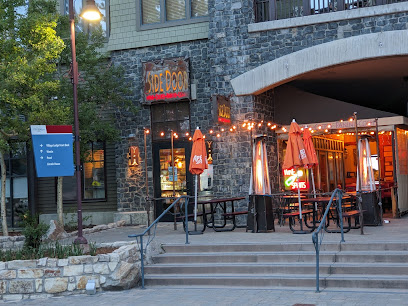
Side Door Wine Bar & Cafe
55.0 km
Discover the perfect blend of exquisite wines and delightful cuisine at Side Door Wine Bar & Cafe in Mammoth Lakes, California.
Clocktower Cellar
55.2 km
Discover the charm of Clocktower Cellar, a cozy bar and restaurant in Mammoth Lakes, offering fine wines, delicious food, and a warm atmosphere.
Mammoth Brewing Company
55.2 km
Experience the best of Mammoth Lakes at Mammoth Brewing Company, where craft beer meets breathtaking scenery and great food.
Salsa's
55.6 km
Experience the vibrant nightlife at Salsa's in Mammoth Lakes, offering a fantastic drink selection and lively atmosphere amidst breathtaking mountain views.
Liberty Sports Bar and Grill
56.1 km
Experience the best of American cuisine and lively sports atmosphere at Liberty Sports Bar and Grill in Mammoth Lakes.
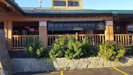
Black Velvet Coffee Roaster | Espresso & Wine Bar
56.2 km
Discover Black Velvet Coffee Roaster, a delightful espresso bar in Mammoth Lakes offering artisanal coffees and exquisite wines in a cozy atmosphere.
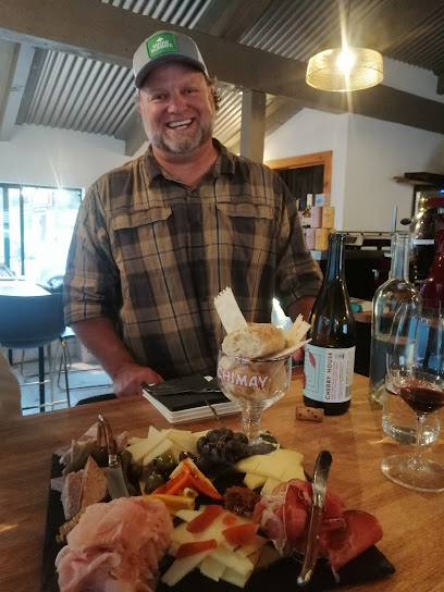
The Shed | Wine & Charcuterie
56.3 km
Experience the perfect blend of exquisite wines and artisanal charcuterie at The Shed | Wine & Charcuterie in Mammoth Lakes, CA.
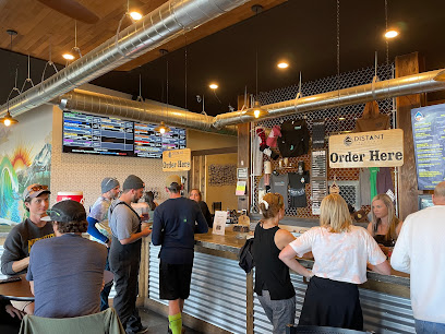
Distant Brewing
56.9 km
Discover the best of craft brews and delicious American cuisine at Distant Brewing in Mammoth Lakes, the perfect spot for beer lovers.
Nightclubs & after hour spots
Snowline Country Bar
41.4 km
Discover the vibrant dining and nightlife experience at Snowline Country Bar, a hidden gem near Yosemite National Park.
The Alley
42.3 km
Discover The Alley in Mariposa: a cozy bar and lounge offering small plates, craft cocktails, and a vibrant atmosphere for unforgettable evenings.

Take It Off Entertainment
58.9 km
Discover the vibrant entertainment scene at Take It Off Entertainment, where unforgettable experiences and local culture collide.

El Palacio Night Club
91.2 km
Immerse yourself in the electrifying nightlife at El Palacio Night Club in Merced, California, where music, dance, and excitement await.