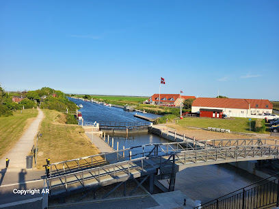
Pælebjerg
Fanø's windswept summit offering panoramic North Sea views and access to scenic dune forest trails.
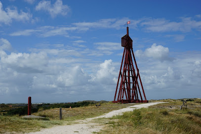
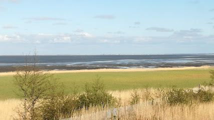
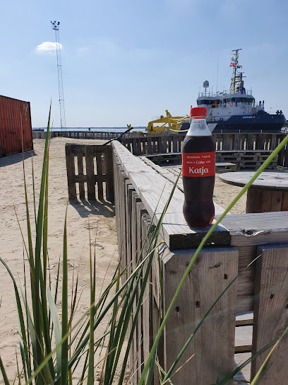
Pælebjerg is Fanø's highest point at 21 meters above sea level, offering panoramic views across the North Sea, the surrounding dune plantations, and the distinctive heathland landscape. Located within Fanø Klitplantage in the western part of the island, this modest elevation serves as a popular hiking destination and one of five notable peaks on the island. The summit is marked by a red wooden fence and provides access to scenic walking trails through windswept pine forests and rolling dunes.
A brief summary to Pælebjerg - Det højeste punkt på Fanø
- Fanø, 6720, DK
- Duration: 0.75 to 3 hours
- Free
-
 Outdoor
- Mobile reception: 4 out of 5
Local tips
- Start early in the day to avoid afternoon crowds and enjoy clearer visibility across the North Sea and surrounding landscape.
- Bring binoculars and a compass if planning to explore the extended walking routes; visibility can change quickly in coastal weather.
- Wear windproof clothing and sturdy footwear; the exposed summit and sandy trails can be challenging in strong winds or wet conditions.
- Combine your visit with the other four peaks in Fanø's "Big Five" challenge for a comprehensive exploration of the island's diverse landscapes.
- Visit Pælebjergsøen, the small lake near the summit, to observe water lilies and local wildlife in a tranquil setting.
For the on-the-go comforts that matter to you
- Seating Areas
- Information Boards
- Trash Bins
Getting There
-
Car from Fanø Town Centre
Drive west from Nordby or Fanø Bad toward Mågekolonivej, a concrete road built during World War II. Follow signs to parking area P4 near Pælebjerg. The drive takes approximately 10 to 15 minutes depending on your starting point. Parking is available at P4 and nearby areas. No entrance fee is required.
-
Bicycle from Fanø Town Centre
Cycle west from Nordby or Fanø Bad along local routes toward Fanø Klitplantage. Follow signs to Mågekolonivej and parking area P4. The journey takes approximately 20 to 30 minutes depending on starting location and route chosen. Bicycle parking is available at P4. No fee required.
-
Walking from Fanø Bad
From Fanø Bad, walk approximately 3 to 4 kilometers northwest through the dune plantation toward Pælebjerg. The walk takes 50 minutes to 1 hour depending on pace and exact starting point. Follow marked trails and signage. The terrain is sandy with some elevation changes. No fee required.
-
Ferry and Local Transport from Esbjerg
Take the ferry from Esbjerg to Fanø (approximately 12 minutes crossing time). Ferry tickets cost around 50 to 80 Danish kroner per person depending on vehicle transport. Upon arrival in Nordby, rent a bicycle or car, or use local taxi services to reach Pælebjerg. Total journey time from Esbjerg is approximately 45 minutes to 1 hour including ferry and onward transport.
Pælebjerg - Det højeste punkt på Fanø location weather suitability
-
 Clear Skies
-
 Mild Temperatures
-
 Windy Conditions
Discover more about Pælebjerg - Det højeste punkt på Fanø
The Island's Modest Summit
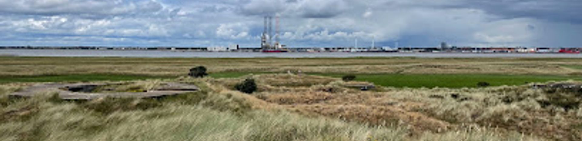
Pælebjerg stands at just 21 meters above sea level, making it Fanø's highest point and a defining landmark on this low-lying Danish island. Despite its modest elevation, the summit offers commanding views across the North Sea to the west and over the surrounding landscape to the east. The peak is officially marked with a postament and encircled by a distinctive red wooden fence, making it easily recognizable to visitors. The location sits within Fanø Klitplantage, the island's extensive dune forest, positioned in the western section of this nature reserve.Geological Origins and Landscape Formation
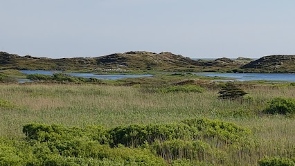
Fanø's "mountains" are not true mountains but rather ancient dunes that have accumulated over centuries. Pælebjerg and its neighboring peaks represent the younger generation of dunes, having formed more recently than the island's eastern cliffs. These dunes were shaped by wind and sea during the Little Ice Age and subsequent periods, creating the distinctive rolling topography visible today. The surrounding Fanø Klitplantage was established to stabilize these shifting sands, and the landscape now features windswept pine and fir trees adapted to harsh coastal conditions, interspersed with heathland and small wetland areas.Flora, Fauna, and Ecological Significance
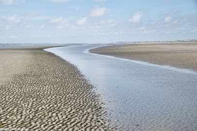
The area surrounding Pælebjerg supports diverse ecosystems within the dune plantation. Small lakes and marshes dot the landscape, including Pælebjergsøen, a nearby pond populated with water lilies and goldfish. The heathland supports low-growing vegetation adapted to sandy, nutrient-poor soils. The broader Fanø region is part of the Wadden Sea ecosystem, recognized as a UNESCO World Heritage Site for its ecological importance. Birdwatchers and nature enthusiasts frequent the area, particularly to observe migratory species and seals that haul out on nearby sandbanks in the Wadden Sea.Walking Routes and Visitor Experience
The most popular route to Pælebjerg's summit begins from parking area P4 near Mågekolonivej, a concrete road constructed by German forces during World War II. Yellow and red marked trails guide visitors through the windswept forest and heathland to the summit. The walk typically takes 30 to 45 minutes depending on the chosen route. From the top, visitors can observe the full extent of the dune plantation, the open heathland with its characteristic rolling dunes and small pools, and distant views toward the North Sea. Extended walking circuits are available, including a 4-kilometer loop that connects Pælebjerg to nearby attractions such as Skovlegepladsen (the forest playground) and other notable peaks within the "Big Five" hiking challenge.Part of Fanø's Five Peaks Challenge
Pælebjerg is the highest of Fanø's "Big Five" mountains, a popular geocaching and hiking route that connects five distinct peaks across the island. Each peak offers unique perspectives on the island's varied landscapes—from coastal views to heathland vistas to glimpses of the Wadden Sea marshes. The challenge was originally created as a geocaching route but has become a well-established walking circuit for visitors seeking to explore Fanø's natural diversity. Marked on the island's experience map, the route is accessible to most visitors with moderate fitness levels.Seasonal Variations and Weather Considerations
The exposed location of Pælebjerg means weather conditions can change rapidly. Winter months bring stronger winds and occasional snow, while summer offers more stable conditions and longer daylight hours. The heathland and dune landscape provide minimal shelter, so visitors should come prepared for wind and variable weather. Spring and autumn offer pleasant conditions with fewer crowds, while summer attracts the most visitors. The surrounding wetlands can become waterlogged during wet periods, affecting trail conditions on some of the longer walking routes.Iconic landmarks you can’t miss
Sønderho Church
5.5 km
An 18th‑century island church filled with Denmark’s largest flotilla of votive ships, anchoring Sønderho’s seafaring history in a tranquil Wadden Sea village.
Æ Kåver
5.8 km
Reborn wooden seamark on Fanø’s southern edge, Æ Kåver recalls 17th‑century seafaring in a wild Wadden Sea landscape of wind, sand and wide horizons.
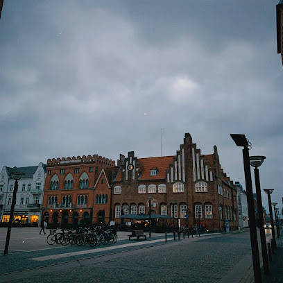
Fano Bed and Boats
6.5 km
Charming seaside bed & breakfast and boat rental in Nordby, Fanø—offering cozy rooms and authentic maritime experiences on Denmark’s storied North Sea island.
Fanø Krogaard
6.7 km
Experience the timeless charm of Fanø Krogaard, a historic inn blending Nordic cuisine, island tradition, and warm hospitality in the heart of Nordby harbour.
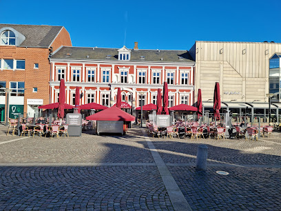
Fanø Tourist Office
6.8 km
Centrally located on Fanø, the Tourist Office is the ideal starting point for discovering authentic island charm, local culture, and practical travel advice.
FanøFærgen, Esbjerg
8.4 km
Compact harbor terminal in Esbjerg serving the fast 12‑minute Fanø ferry, linking mainland bustle with island calm in the Wadden Sea UNESCO landscape.
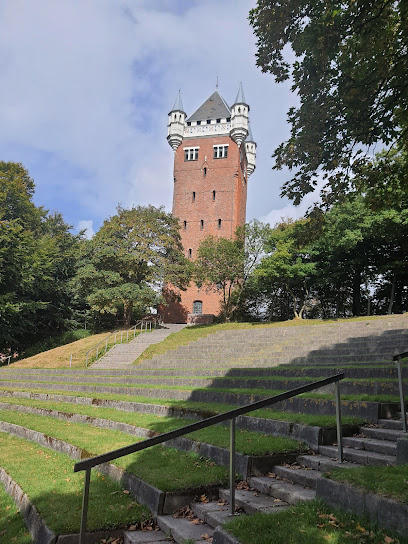
Esbjerg Water Tower
8.9 km
Historic red-brick water tower on a Bronze Age mound overlooking Esbjerg’s harbour, blending medieval-inspired architecture with the story of a young, ambitious port city.
Dronning Louise
9.1 km
Urban beachfront serenity meets Danish royal heritage at Marselisborg Strand, Aarhus’ favorite local escape for swimming, sunbathing, and seaside strolls year-round.
Namaste Esbjerg
9.2 km
Marselisborg Strand is Aarhus’ vibrant urban beach, blending sandy coastline, tranquil bay views, and easy access to city highlights and lush forest parks.
Denmark
9.2 km
Marselisborg Strand is Aarhus’s urban beach escape, offering sandy shores, a classic pier, family-friendly facilities, and beautiful views right at the city’s edge.
Vadehavskysten
9.5 km
An iconic copper bridge tower turned cultural gem, offering harbor panoramas, intimate events, and a taste of Copenhagen’s creative spirit on Knippelsbro.

Begravet bunker
12.0 km
A preserved German WWII bunker revealing the hidden lives of occupation soldiers beneath Danish soil.
Hjerting Badehotel
15.5 km
Picturesque sandy beach blending serene sea views, lush forests, and family-friendly facilities just minutes from Aarhus city center.

Kammerslusen Ribe
17.8 km
Discover Copenhagen's Black Diamond: A fusion of modern architecture and cultural heritage on the waterfront.
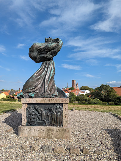
Queen Dagmar of Bohemia
22.8 km
A contemplative statue on Ribe’s former castle hill, honouring the gentle 13th‑century Queen Dagmar where her life and legend became entwined with Denmark’s history.
Unmissable attractions to see
Skovlegeplads
1.2 km
Woodland wonderland on Fanø: a free forest playground with natural equipment, fire pits and storybook corners hidden inside Fanø Klitplantage.
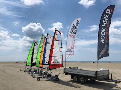
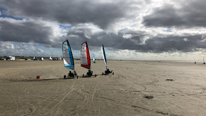
Fanø Blokart
1.8 km
Land-sail across Denmark's legendary beach at speeds up to 50 km/h—no experience needed.
Albue Fuglekøje
2.1 km
A preserved duck decoy tucked into Fanø’s dunes and pines, where quiet paths and old earthworks reveal how islanders once trapped wild ducks for a living.

Sønderho Gl. Fuglekøje
2.6 km
Historic 19th‑century duck decoy in Fanø’s heathland, where tranquil woodland paths, a restored trapping pond and Wadden Sea views tell the island’s waterfowl story.
Rindby Strand
3.9 km
Wide, drive-on sands, kite-filled skies and classic Danish dune scenery make Rindby Strand Fanø’s easygoing North Sea playground for long, windblown beach days.

Rindby beach
4.1 km
Vast North Sea sands, drive-on beach freedom, and kite-filled skies make Rindby Beach Fanø’s classic, family-friendly shoreline on Denmark’s wild west coast.
Club Fanø
4.3 km
Island adventure hub offering seal safaris, beach sports, and coastal experiences on Denmark's famous Fanø.
Club Fanø Rindby
4.3 km
Fanø's premier hub for kite sports, beach adventures, and Nordic coastal experiences with expert instruction and welcoming spirit.
Mosedalsbjerg
4.8 km
A breathtaking linden-lined street in Møgeltønder, Slotsgaden charms visitors with its historic thatched cottages and scenic path to Schackenborg Castle.

Seal Bank Walk Meeting Point
4.9 km
A windswept beach meeting point at Sønderho, where guided low-tide walks lead across the Wadden Sea seabed to Galgerevet’s thriving seal bank.

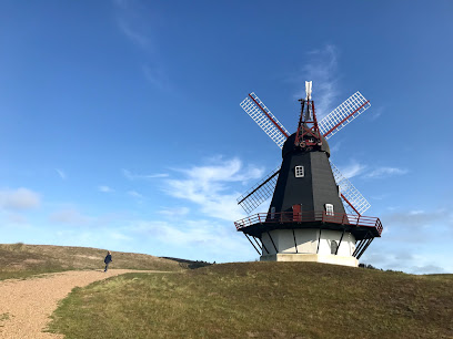
Sønderho Mølle
5.0 km
Wind, flour and island history meet in this beautifully restored 1895 gallery Dutch windmill above the village of Sønderho on Fanø.
Fanø Vesterland Festival
5.1 km
Step into the historic world of duck decoy trapping at Sønderho Gl. Fuglekøje, where Fanø’s coastal landscape and folk ingenuity come vividly to life.

Skovhaven Torp Plantage
5.2 km
A sheltered woodland garden with fairy-tale sculptures, forest lake, and picnic areas perfect for families.

Gedenkstein
5.3 km
Experience Fanø's historic waterfowl trapping site amidst serene heathland, offering deep insights into Danish hunting heritage and the ecology of the Wadden Sea.

Hotel Fanø Bad
5.7 km
Unpretentious beachside base on Fanø’s dune fringe, where simple rooms, sea air and vast North Sea sands set the tone for slow, outdoorsy island days.

Essential places to dine
Stoppestedet I/S
4.2 km
Casual, family-friendly fast food on holiday island Fanø, serving hearty portions of fish, chips and burgers a short hop from the wide North Sea beach.
LIGHTHOUSE BURGERS
4.2 km
Gourmet-minded burger bar on Fanø, serving organic local beef, house-made buns and sauces, and a relaxed island atmosphere just a stroll from Nordby’s heart.

Axel's Kitchen
4.5 km
Authentic Italian pizzeria with indoor playground, celebrating local Fanø ingredients and family moments.
Tre Søstre
5.6 km
A cosy island café in Sønderho serving good coffee, simple local bites and creamy ice cream, perfect for a slow midday pause on windswept Fanø.

Restaurant Dino
5.7 km
Casual island restaurant in Fanø Bad serving pizzas, Bosnian specialities and Danish comfort food just steps from the North Sea dunes.
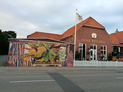
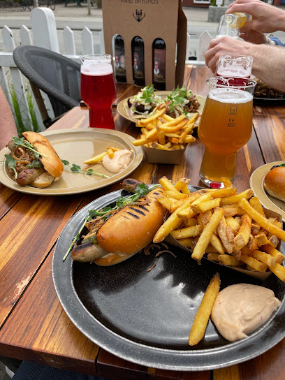
VadeMad
5.8 km
Casual food‑truck dining paired with island‑brewed craft beer, set in the laid‑back courtyard of Fanø Bryghus just a short stroll from the Wadden Sea.
Cafe Nanas Stue
5.8 km
Historic thatched café in Sønderho blending Fanø comfort food, Dutch tile art and intimate music evenings in one atmospheric village living room.
Restaurant/Café Fajancen
5.8 km
Cosy family-run bistro in historic Sønderho, serving Danish–French classics made from local Fanø and Danish ingredients in warmly lit, intimate village-house surroundings.
Kellers Badehotel
5.9 km
Historic beachfront hotel on Fanø combining coastal Danish charm, gourmet dining, and immersive island hospitality with sweeping North Sea views and a storied heritage.
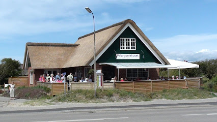
Pelargoniehuset
5.9 km
Relaxed seaside restaurant on Fanø’s west coast, serving simple Danish comfort food and cakes just steps from dunes, golf course and the island’s broad North Sea beach.
Sønderho Kro
5.9 km
Historic 18th‑century inn on Fanø where thatched-roof charm, gourmet Danish cuisine and Wadden Sea landscapes come together in the heart of Sønderho.
Rudbecks Fanø
6.2 km
Cosy family-run café, deli and wine bar on Fanø’s main street, celebrating local organic produce, Fanø salmon and cheeses in a warm, relaxed village setting.
Tacobørsen
6.3 km
Colorful Mexican-inspired street food on Fanø’s main street, perfect for easy takeout, casual meals and beach picnics between dunes, harbor walks and village strolls.

Restaurant Aroma - Fanø øko Øl
6.3 km
Cosy island restaurant and organic microbrewery in a historic skipper’s villa at the heart of Nordby, pairing house‑brewed Fanø beers with relaxed European plates.
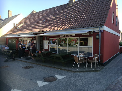
Fanø Pizza
6.4 km
Straightforward Danish-style pizza and takeaway favorites in Nordby, offering an easy, kid-friendly dinner option after a day exploring windswept Fanø.
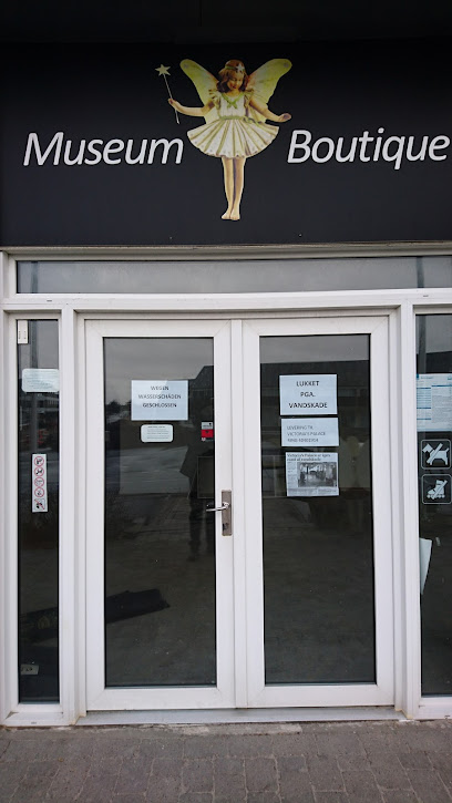
Markets, malls and hidden boutiques
Arbuckle Design
2.8 km
Discover unique fashion accessories that capture the essence of Danish design at Arbuckle Design in Fanø.
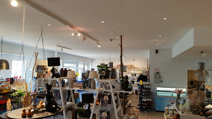
Kunstladen
3.8 km
A colourful Fanø island boutique where Scandinavian design, clothing, gifts and craft supplies fill a bright, welcoming space just behind the dunes of Rindby.
Fanø Angus & Merino
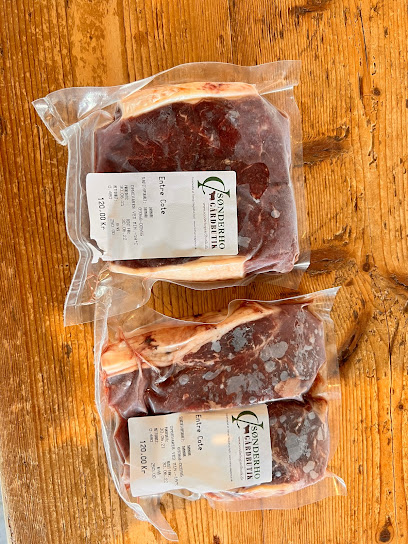
3.8 km
Small Fanø farm shop turning island pastures into premium Angus beef and soft Merino yarn, offering an authentic taste – and texture – of Wadden Sea life.

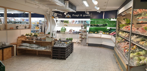
Rindby Supermarked A/S
4.2 km
Spacious island supermarket in Rindby, combining early-morning bakery aromas, full-range groceries and relaxed holiday extras near Fanø’s west coast dunes.
Sønderho Gårdbutik
4.7 km
Authentic Fanø farm shop with organic Highland beef, free-range eggs and carefully selected local specialties at the gateway to the village of Sønderho.
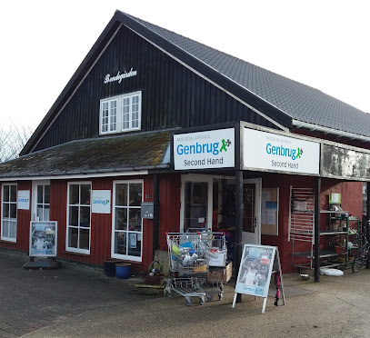
Mission Afrika Genbrug
5.7 km
Cosy Nordby thrift shop where island finds, friendly volunteers and second-hand treasures help fund Mission Afrika’s community projects far beyond Fanø.
Silken
5.8 km
Intimate silk atelier and boutique on Fanø, where decades of craftsmanship turn Asian fabrics into timeless, island-made garments in a calm, gallery-like setting.

Fanø Lægeurtehave
5.8 km
Traditional herb shop preserving natural wellness practices on Denmark's peaceful Fanø Island.
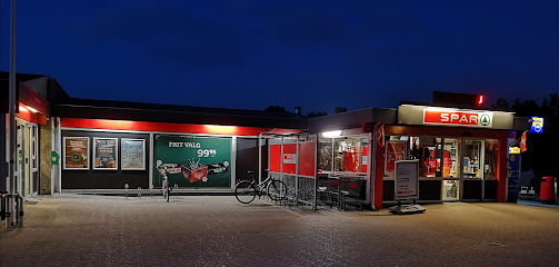
SPAR
5.9 km
Fanø's reliable supermarket steps from the beach, serving locals and visitors daily.
Victoria's Palace
5.9 km
A cosy Nordic-style interiors and gift shop in the heart of Fanø Bad, where coastal charm and Scandinavian design meet just moments from the wide North Sea beach.
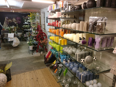
Fanø Lys
5.9 km
Candlelit hygge, local delicacies and island design come together at this cozy Fanø shop just behind the dunes of the North Sea.
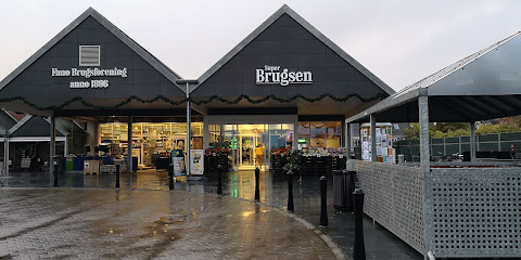
Fanø Brugsforening
6.1 km
Fanø’s friendly SuperBrugsen co-op in Nordby, keeping islanders and visitors stocked with fresh food, Danish staples and everyday essentials near the harbour.
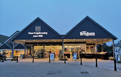
SuperBrugsen
6.1 km
Fanø’s central supermarket hub, blending everyday Danish island life with convenient shopping for self-catering holidays and beachbound visitors in Nordby.
Kulturfabrikken, frkToft
6.2 km
Playful island ceramics with vintage prints, crooked edges and plenty of humor, crafted and displayed in a characterful studio-shop on Fanø’s main street.
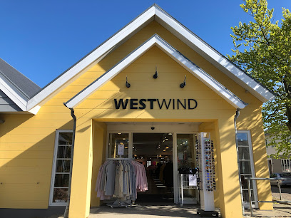
Westwind
6.2 km
Coastal clothing hub on Nordby’s main street, equipping you with practical sports and leisure wear for Fanø’s ever‑changing North Sea weather.
Essential bars & hidden hideouts
Kabyssen
4.3 km
Fanø's cherished community bar serving authentic Danish island hospitality with live music and genuine warmth.
Hjørnekroen
6.8 km
Cosy corner bar in Nordby where Fanø’s island life, live music nights and classic Danish bodega charm come together over draught beer and easy conversation.
Dokken City Beach
8.5 km
A pocket of sand, deckchairs and drinks on Esbjerg Harbour, Dokken City Beach turns the working waterfront into a relaxed urban seaside escape.
SoHo - Bar & Cocktails
9.1 km
Adults-focused cocktail bar tucked inside Esbjerg Street Food’s old theatre hall, pairing crafted drinks, modern design and a lively, central city atmosphere.
Dowdi Pub Bar
9.1 km
Old-school brown pub in central Esbjerg with inexpensive beers, wood‑panelled charm and a relaxed, local crowd from daytime regulars to late‑night lingerers.
Pioner Bar Esbjerg
9.1 km
Late-night Esbjerg bar on Torvet with cheap cold beer, classic party hits from the ’80s to today, and a lively dance floor packed with locals and visitors.
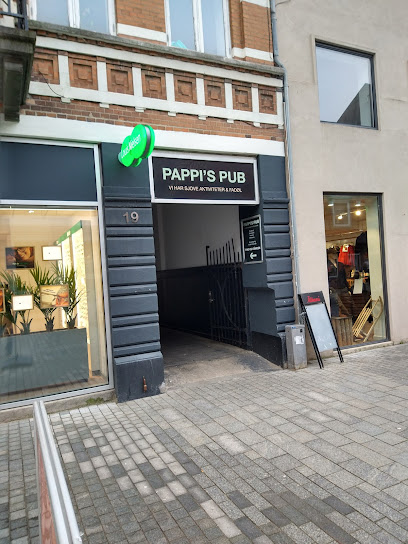
Pappi's pub
9.1 km
Unpretentious, drinks-first bar on Kongensgade offering a simple Danish pub vibe, easy prices and a central stop-off point in the heart of Esbjerg.
HomeRun Esbjerg
9.2 km
Lively gastro sports bar above Esbjerg’s main square, with wall-to-wall screens, bar games, casual bites and late-night energy on weekends.
King George
9.2 km
Esbjerg's beloved beer hall where Danish tradition, lively atmosphere, and authentic hospitality converge on Skolegade.
Bjælkehytten - En Vestjysk BierBar
9.2 km
Timber-clad, late-opening beer hut on Esbjerg’s Skolegade, serving easygoing brews and shots in a cosy, West Jutland party atmosphere at the heart of nightlife.
Rustik - Bar & Natklub
9.2 km
High‑energy bar and nightclub on Esbjerg’s Skolegade, mixing industrial style, cocktails and a tightly packed dance floor late into the night.

James Bond Esbjerg
9.2 km
Late-opening dance bar on Skolegade in Esbjerg, where a mature crowd sings along to classic hits and keeps the party going until early morning.
Industrien
9.2 km
Historic Danish bar where 130+ years of tradition meets contemporary hospitality on Esbjerg's vibrant Skolegade.
Kasket Karl
9.2 km
Legendary Esbjerg pub on Skolegade, pouring beer and hosting darts, dice and laid‑back evenings since 1975 in a warmly lit, unpretentious setting.
Skræddergården Esbjerg ApS
9.2 km
Adult-friendly dance bar in Esbjerg’s Skolegade nightlife strip, mixing DJ sets, live music nights and easygoing drinks in a former tailor’s house.
Nightclubs & after hour spots
No.31 - Bar & Natklub
9.2 km
Compact, high-energy nightclub on Esbjerg’s Skolegade, blending late-night bar vibes, loud DJ sets and a youthful dance floor in the heart of the city.
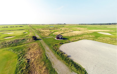
Romo Golf Links
34.8 km
Romo Golf Links offers an authentic coastal golf experience amid the windswept dunes and wild beauty of Rømø, blending challenging play with stunning North Sea views.
Crazy Daisy Vejen
46.8 km
High-energy disco club in central Vejen, bringing late-night music, dancing and big-city nightclub vibes to a compact South Jutland town.
Rotes Kliff
48.6 km
Experience the vibrant nightlife of Rotes Kliff in Sylt, a premier disco club and cocktail bar perfect for unforgettable evenings.
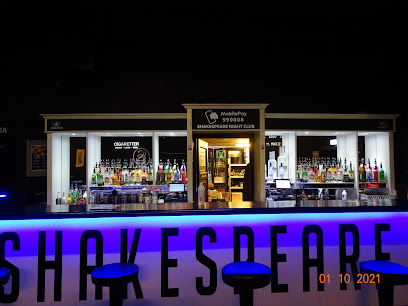
NewsBar - Shakespeare Nightclub & Eventhouse
48.9 km
Ølgod's premier nightclub and event venue, where celebration and community connection meet.
Liglad Day & Nightlife
52.4 km
Compact late-night club on Grindsted’s main street, mixing local vibes, DJs and simple drinks for weekend nights that run into the early hours.
Fishi
54.0 km
Compact, no-frills nightclub in Vejen with loud beats, simple drinks and a friendly small-town crowd that keeps the dance floor moving late into the night.

P2 Champagne & Cocktail Tønder
58.1 km
Intimate champagne and cocktail lounge bringing late-night sparkle and city-style glamour to the historic heart of Tønder.

Al Capone
58.1 km
Tønder’s sole nightclub, Al Capone blends a rustic 1920s‑inspired mood, late‑night beats and strong drinks into an intimate speakeasy‑style party den.
Koldingtivet Engen
67.5 km
Compact Kolding disco where locals pack the dance floor, mainstream hits fill the speakers and late-night energy turns a modest venue into a full-bodied club night.
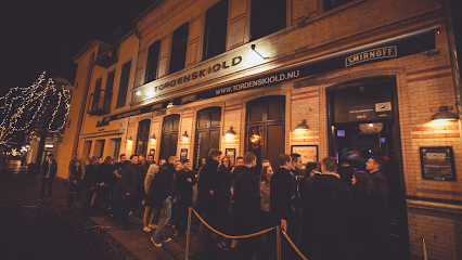
Discoteque Tordenskiold
68.0 km
Kolding's legendary two-floor discotheque and cultural institution since 1973.
Mørks Kælder
68.2 km
Modern basement nightclub in central Kolding, pouring drinks and classic dance tunes for a grown-up crowd late into the weekend night.
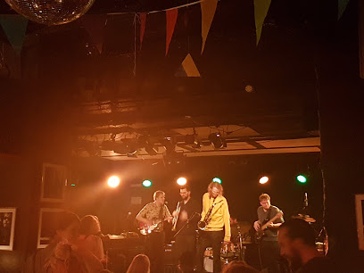
Pitstop
68.4 km
Small, central and loud, Pitstop is Kolding’s alternative live music stronghold, blending intimate gigs, late-night dancing and laid-back bar vibes in a historic building.
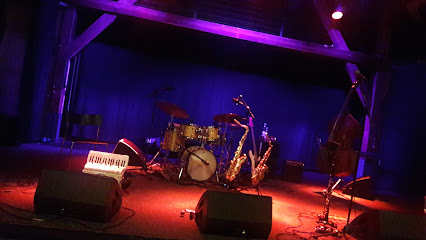
Jazz 6000
68.6 km
An essential stop in Kolding for jazz lovers, Jazz 6000 brings world-class live music, community spirit, and a cozy club atmosphere to southern Denmark.
Vejle Jazzklub
69.1 km
Experience the soulful rhythms of jazz in the heart of Bredsten at Vejle Jazzklub.
For the vibe & atmosphere seeker
- Scenic
- Adventurous
- Tranquil
- Unique
For the design and aesthetic lover
- Rustic Designs
For the architecture buff
- Viewpoints
- Parks & Gardens
- Nature Reserve
For the view chaser and sunset hunter
- Panoramas
- Iconic Views
- Sunset Spots
For the social media creator & influencer
- Photo Spots
- Instagrammable
- Architectural Shots
For the eco-conscious traveler
- Protected Area
- Nature Reserve
- Eco-Friendly
- Wildlife Habitat
- Leave-No-Trace Critical
For the kind of experience you’re after
- Nature Escape
- Photowalk
- Day Trip
- Cultural Heritage
For how adventurous you want the journey to be
- Easy Access
- Requires Hike
Location Audience
- Family Friendly
- Solo Friendly
- Senior Friendly
- Couple Friendly


