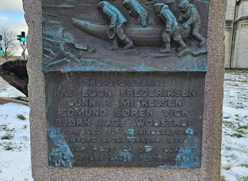
Frederikshavn Kunstmuseum
Frederikshavn Kunstmuseum og Exlibrissamling
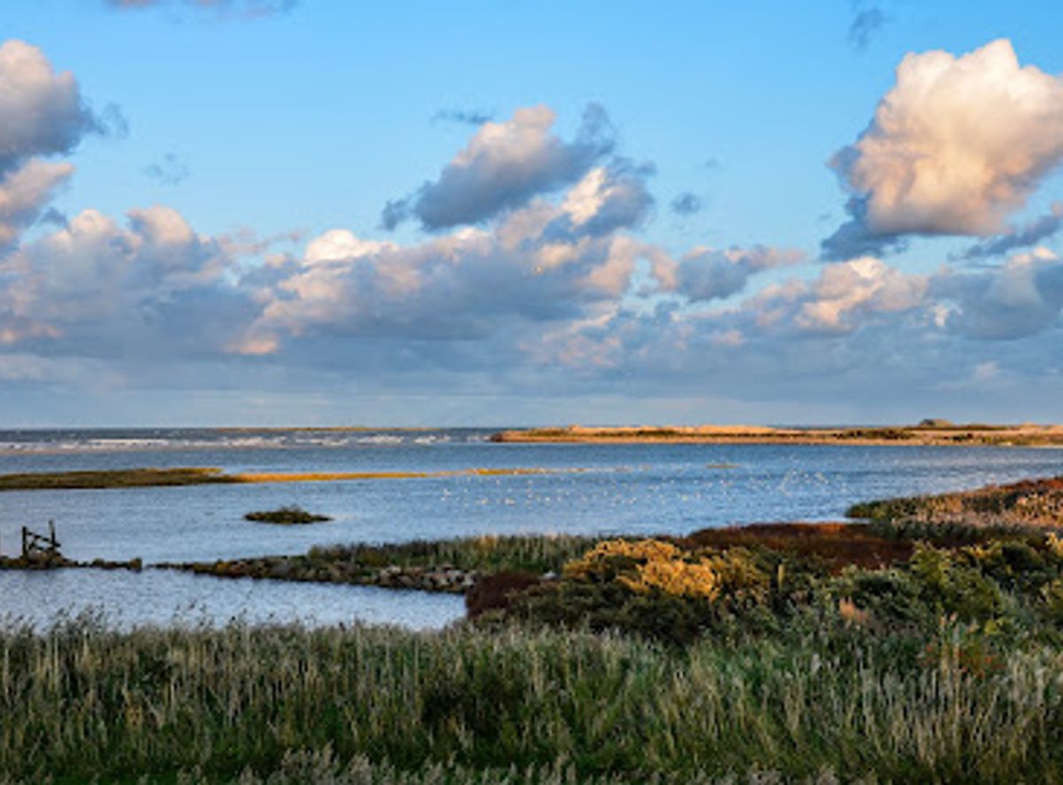
Grassy historic earthworks overlooking Frederikshavn’s harbour and the Kattegat, where simple ramparts, sea views and open sky tell a quiet coastal story.
Nordre Skanse is a low, grass‑covered coastal fortification on the northern edge of Frederikshavn, overlooking the Kattegat. Built as one of the town’s earliest defensive works, its earth ramparts, shallow moat and open interior now form a peaceful green space with views toward the harbour, marina and the coast of Sweden on clear days. Simple, atmospheric and free to enter, it’s an easy stop for a short historical wander or a contemplative seaside pause.
Opening times, essentials, and a few local tips gathered into one calmer, easier-to-scan planning section.
Train and local bus from Frederikshavn Station
From Frederikshavn Station, regional trains connect with the rest of North Jutland, including Aalborg, typically in about 1–1.5 hours. From the station area, local city buses running toward the northern districts stop within walking distance of Nordre Skanse, with combined travel and transfer time usually 15–25 minutes. A single adult bus ticket within the town generally ranges around 20–30 DKK. Services run more frequently on weekdays and during daytime; evening and weekend departures can be less frequent, so checking current schedules before setting out is advisable.
On foot from central Frederikshavn
From the central shopping streets and harbourfront area of Frederikshavn, walking to Nordre Skanse is a straightforward coastal stroll of roughly 2–3 km, taking 25–40 minutes depending on pace. The route is mostly flat, using pavements and established paths, and is suitable for most visitors with basic mobility, though sections can feel exposed in strong wind or rain. This no‑cost option allows you to link the town centre, marina, beaches and the old fort in a single extended walk.
Car or taxi within Frederikshavn
Reaching Nordre Skanse by car from most addresses in Frederikshavn typically takes 5–10 minutes, depending on traffic and starting point. Street access brings you close to the fort, and parking is usually available in the nearby residential and harbour areas, though spaces can be more limited on busy summer days. There is no separate entrance fee for the site, so costs are limited to any applicable parking charges and, if used, a short taxi ride within town, which often falls in the range of 70–140 DKK.
Catch the right light and the right mood, whether you want a bright city moment or a more cinematic evening visit.


Use Tower Bridge as your starting point for nearby food, family ideas, nightlife, and more local discoveries.
A quick look at seasonal patterns and peak visiting hours.

Explore expert travel guides, compare and book tours, experiences, hotels, and more—all from the palm of your hand. Download now for seamless trip planning wherever your wanderlust takes you.
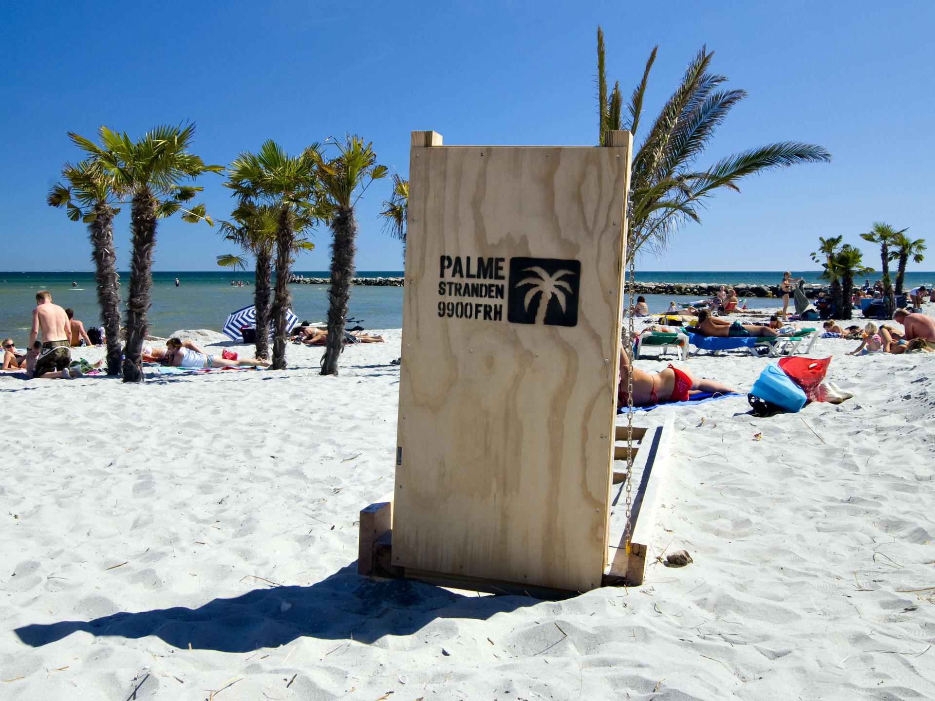
Explore Frederikshavn, Denmark's coastal gem, where history, scenic beaches, and vibrant maritime culture combine to create an unforgettable travel experience.
Tell me more about Frederikshavn