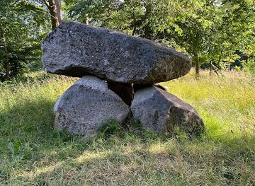
Carlsstenen - Grønnessedyssen
Carlsstenen – Grønnessedyssen Megalith in Grønnesse Forest
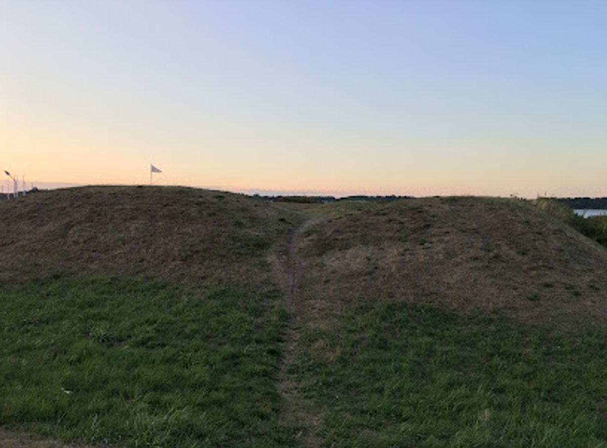
Low grassy ramparts above the Isefjord where a modest 1808 coastal battery once watched for British ships and now offers a quiet historic pause by Kulhuse Harbour.
Englænderskansen is a low, grass-covered earthwork just south of Kulhuse Harbour on the tip of Hornsherred, once part of Denmark’s coastal defence system during the Napoleonic Wars. Built in 1808 as a forward battery against the British fleet and to help protect the important cannon foundry at Frederiksværk, the preserved ramparts and ditches now form a tranquil green viewpoint over the Isefjord. It is an open, free-to-visit historic site that combines local war history, simple ruins and sea air in a compact stop easily paired with the harbour and nearby beach.
Opening times, essentials, and a few local tips gathered into one calmer, easier-to-scan planning section.
Car from Frederikssund
From Frederikssund town, driving to Kulhuse via the Hornsherred peninsula typically takes around 35–45 minutes depending on traffic. The route follows standard paved regional roads and is straightforward for all vehicle types. There is a large free parking area close to Englænderskansen and Kulhuse Harbour, but spaces can be busier on sunny summer weekends. Fuel costs vary, but there are no specific tolls or entrance fees associated with visiting the site.
Bus from Frederikssund area
Regional buses connect Frederikssund and Jægerspris with the northern Hornsherred villages, including services towards Kulhuse. The journey generally takes 45–70 minutes depending on route and waiting times, with a standard single adult ticket within the regional fare system usually costing roughly 25–40 DKK. Services run more frequently on weekdays than late evenings or weekends, so checking the timetable in advance is important. The bus stop in Kulhuse is within walking distance of the harbour and the rampart, along level but sometimes narrow village roads.
Cycling on Hornsherred
For experienced cyclists, riding to Kulhuse along the Hornsherred peninsula is a scenic option, taking roughly 1–1.5 hours from Frederikssund depending on pace and wind conditions. The route is mostly on paved country roads with moderate traffic, some gentle hills and limited dedicated cycle lanes. There is no extra cost beyond potential bike rental, which typically ranges from about 100–250 DKK per day in the wider region. The final approach to Englænderskansen is flat, and bicycles can be left at the edge of the parking area or near the harbour.
Catch the right light and the right mood, whether you want a bright city moment or a more cinematic evening visit.


Use Tower Bridge as your starting point for nearby food, family ideas, nightlife, and more local discoveries.
A quick look at seasonal patterns and peak visiting hours.

Explore expert travel guides, compare and book tours, experiences, hotels, and more—all from the palm of your hand. Download now for seamless trip planning wherever your wanderlust takes you.
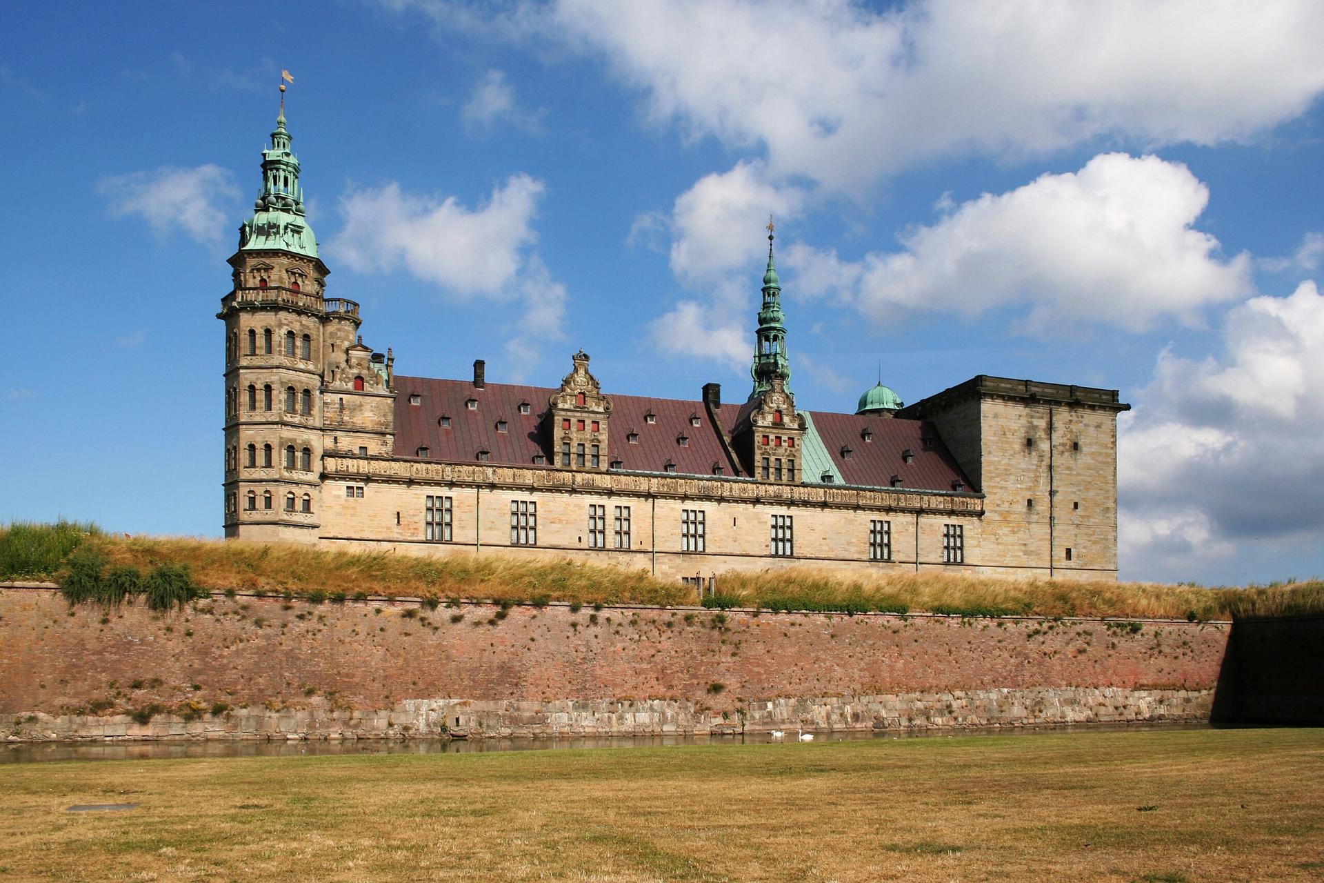
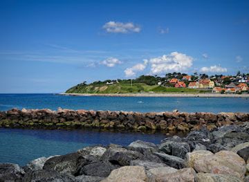
Explore North Zealand, Denmark's enchanting region of castles, beaches, and royal estates, perfect for history buffs, nature enthusiasts, and seaside lovers.
Tell me more about North Zealand