From Eve
Know before you go
Hi, I'm Eve. Here are a few practical things to know before exploring Kammerslusen Clay Excavations.
Local know-how to help you travel smarter and make the most of every moment.

Historic tidal lock and birdwatching haven where Danish engineering meets the wild Wadden Sea.
Kammerslusen is a historic tidal lock and surrounding freshwater lake system near Ribe, Denmark, built in 1912 to protect the region from North Sea flooding. The site combines engineering heritage with exceptional birdwatching opportunities, featuring seasonal mud flats that attract waders, ducks, gulls, and short-eared owls. Visitors can walk the adjacent dyke for panoramic views across the Wadden Sea marshlands and enjoy the tranquil landscape where medieval history meets modern conservation.
Opening times, essentials, and a few local tips gathered into one calmer, easier-to-scan planning section.
Hi, I'm Eve. Here are a few practical things to know before exploring Kammerslusen Clay Excavations.
Local know-how to help you travel smarter and make the most of every moment.
Car
From Ribe town centre, drive south-west on paved roads toward the Wadden Sea coast, approximately 6 kilometres. Follow signs for Kammerslusen or Vadehavscentret. Dedicated parking is available adjacent to the lock. Journey time approximately 10–15 minutes from Ribe. No toll required.
Bicycle
From Ribe, cycle south-west on regional cycle routes toward the coast, approximately 6 kilometres. The terrain is flat and well-suited to cycling. Journey time approximately 25–35 minutes. Ribe offers bicycle rental services. Routes are signposted toward Wadden Sea attractions.
Bus
Local bus services connect Ribe to nearby Wadden Sea attractions and towns. Journey times vary depending on service and destination; typical routes take 20–40 minutes. Check regional transport schedules in advance, as service frequency is limited, particularly outside summer months. Approximate fare 40–80 DKK.
Walking
From Ribe town centre, walking to Kammerslusen is approximately 6 kilometres across flat marshland. The route is scenic but exposed with minimal shelter. Allow 75–90 minutes. The final approach uses the paved road to the lock. Not recommended for visitors with limited mobility or during adverse weather.
Use Kammerslusen Clay Excavations as your starting point for nearby food, family ideas, nightlife, and more local discoveries.
A quick look at seasonal patterns and peak visiting hours.

Explore expert travel guides, compare and book tours, experiences, hotels, and more—all from the palm of your hand. Download now for seamless trip planning wherever your wanderlust takes you.
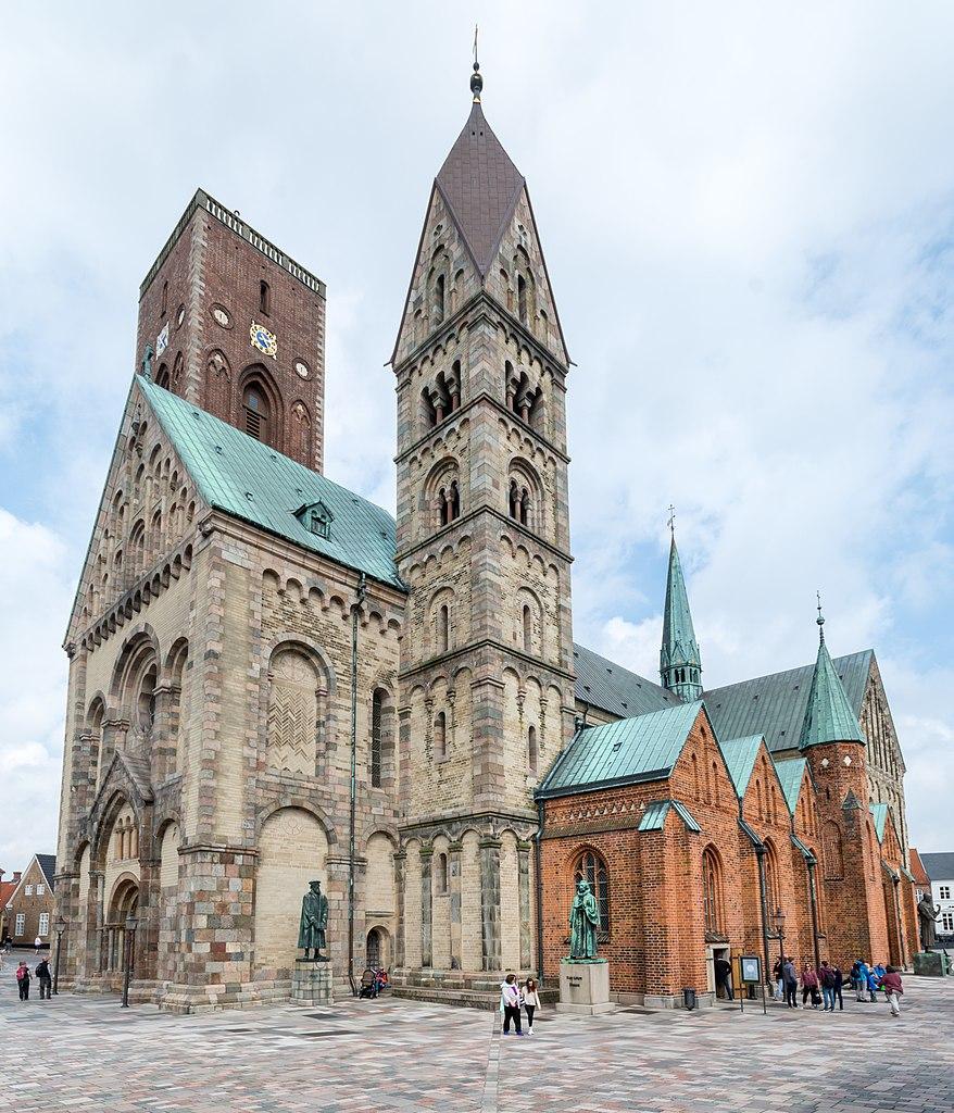
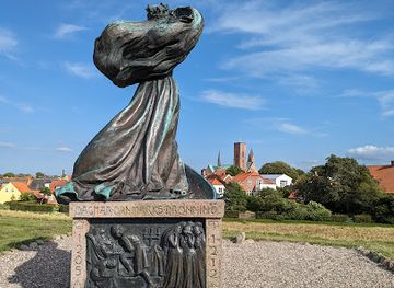
Discover Ribe, Denmark's oldest town, where medieval charm meets modern allure. Experience Viking history, stunning architecture, and breathtaking natural wonders.
Tell me more about Ribe