
Sheltowee Trace: Kentucky's Hidden Gem for Nature Lovers
The Sheltowee Trace National Recreation Trail is a 333-mile-long adventure through the heart of Kentucky's rich natural landscape. Named after Daniel Boone's Shawnee name, 'Sheltowee,' which means 'Big Turtle,' this trail is perfect for those who seek to immerse themselves in the serenity of the wilderness. Stretching from northern Kentucky near Morehead to the Tennessee border, it offers a diverse range of scenery, including lush forests, rocky outcrops, and sparkling streams. The trail takes hikers through the Daniel Boone National Forest, where you'll encounter a variety of wildlife and plant species. As you traverse the path, you'll find numerous opportunities for camping, fishing, and even horseback riding. Each section of the trail offers its own unique challenges and rewards, from steep climbs and rugged terrain to peaceful valleys and waterfalls. One of the most captivating aspects of the Sheltowee Trace is its historical significance. As you walk the same paths that Native Americans and early pioneers once traveled, you'll feel a deep connection to the past. The trail is well-marked and maintained, making it accessible for beginners while still providing enough challenges for seasoned hikers. Whether you're planning a day hike or a multi-day backpacking trip, the Sheltowee Trace promises an unforgettable experience.
Local tips in Sheltowee Trace National Recreation Trail
- Check the weather before you go; conditions can change quickly in the mountains.
- Carry a map and compass; cell service is limited along the trail.
- Wear sturdy hiking boots; the terrain can be rugged and uneven.
- Bring plenty of water and snacks; there are few places to resupply along the trail.
- Consider hiking in the spring or fall for the best weather and fewer bugs.
- Be aware of local wildlife and follow guidelines to avoid encounters.
Sheltowee Trace: Kentucky's Hidden Gem for Nature Lovers
The Sheltowee Trace National Recreation Trail is a 333-mile-long adventure through the heart of Kentucky's rich natural landscape. Named after Daniel Boone's Shawnee name, 'Sheltowee,' which means 'Big Turtle,' this trail is perfect for those who seek to immerse themselves in the serenity of the wilderness. Stretching from northern Kentucky near Morehead to the Tennessee border, it offers a diverse range of scenery, including lush forests, rocky outcrops, and sparkling streams. The trail takes hikers through the Daniel Boone National Forest, where you'll encounter a variety of wildlife and plant species. As you traverse the path, you'll find numerous opportunities for camping, fishing, and even horseback riding. Each section of the trail offers its own unique challenges and rewards, from steep climbs and rugged terrain to peaceful valleys and waterfalls. One of the most captivating aspects of the Sheltowee Trace is its historical significance. As you walk the same paths that Native Americans and early pioneers once traveled, you'll feel a deep connection to the past. The trail is well-marked and maintained, making it accessible for beginners while still providing enough challenges for seasoned hikers. Whether you're planning a day hike or a multi-day backpacking trip, the Sheltowee Trace promises an unforgettable experience.
When is the best time to go to Sheltowee Trace National Recreation Trail?
Unmissable attractions to see
Daniel Boone National Forest
Discover the natural beauty and outdoor adventures waiting for you at Daniel Boone National Forest in Kentucky.
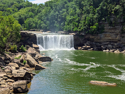
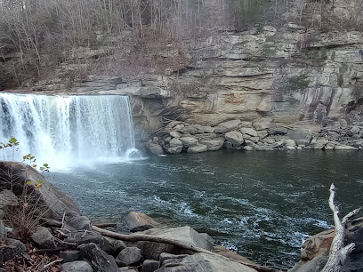
Cumberland Falls State Resort Park
Explore the breathtaking natural beauty of Cumberland Falls State Resort Park, home to stunning waterfalls, diverse wildlife, and endless outdoor adventures.
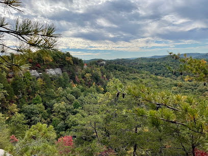
Natural Bridge State Resort Park
Explore the breathtaking Natural Bridge State Resort Park in Kentucky, where stunning landscapes, diverse trails, and unique geological wonders await.
Air Raid Trampoline Park
Experience exhilarating fun at Air Raid Trampoline Park, the ultimate destination for active entertainment in London, Kentucky.

Sheltowee Trace Adventure Resort
Discover the thrill of rafting and the serenity of cabin life at Sheltowee Trace Adventure Resort in the heart of Kentucky's wilderness.
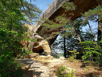
Natural Arch Scenic Area
Explore the breathtaking Natural Arch Scenic Area in Kentucky, featuring stunning landscapes, hiking trails, and a unique geological arch.
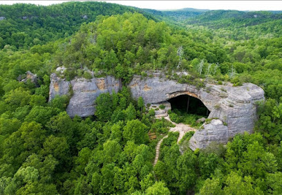
Great Saltpetre Cave Preserve
Discover the Great Saltpetre Cave Preserve, a historical landmark in Kentucky blending stunning cave formations with rich American history.
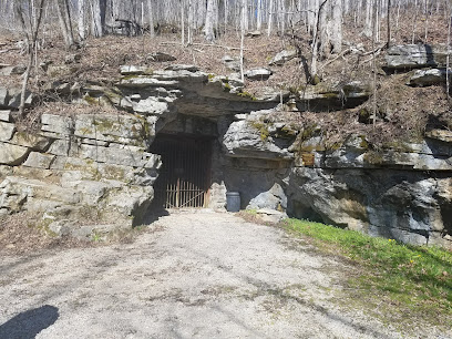
Vanhook Falls Trailhead
Explore Vanhook Falls Trailhead, a serene hiking paradise in Kentucky, where nature's beauty and adventure await amidst stunning waterfalls.
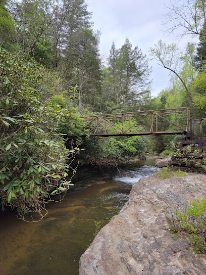
Ed Tye Creek Walk
Immerse yourself in the serene beauty of Ed Tye Creek Walk, a hidden hiking gem in Corbin, Kentucky, perfect for nature lovers and families.
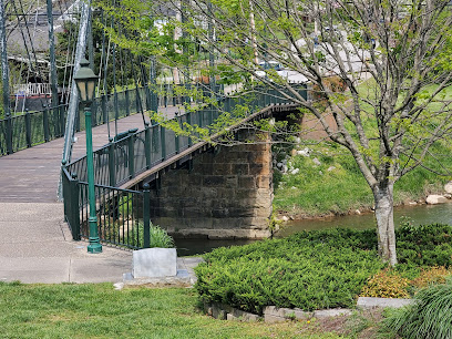
Nada Tunnel
Explore the captivating Nada Tunnel in Stanton, Kentucky, a scenic marvel that combines history, nature, and adventure in one unique experience.
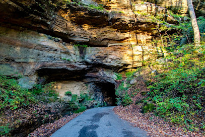
Bison Way Trailhead
Discover the breathtaking Bison Way Trailhead in Kentucky, a hiking paradise surrounded by stunning landscapes and diverse wildlife.
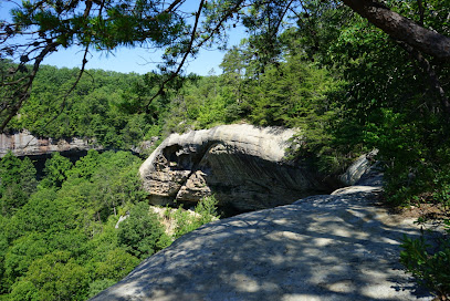
Anglin Falls Trailhead
Explore the natural beauty of Anglin Falls Trailhead in Kentucky, where breathtaking waterfalls and scenic trails await every outdoor enthusiast.
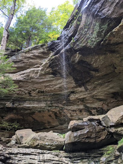
Sheltowee Trace Trailhead (section 24, London District)
Experience the breathtaking beauty of Sheltowee Trace Trailhead, a haven for hikers and nature lovers in the picturesque landscapes of Kentucky.
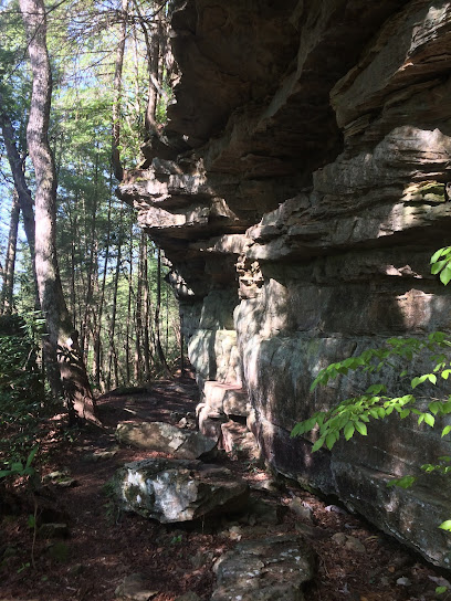
Cumberland Star Riverboat
Explore the scenic beauty of Corbin, Kentucky, aboard the Cumberland Star Riverboat, where history and nature meet on the water.
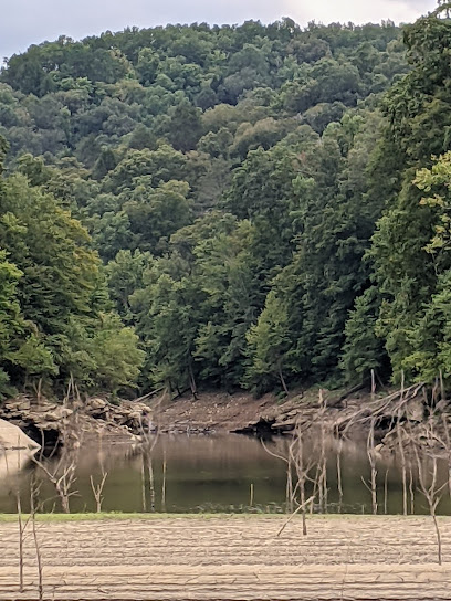
John Holder Trail
Discover the beauty of nature at John Holder Trail, a scenic hiking destination in Winchester, KY, perfect for outdoor enthusiasts and tranquility seekers.
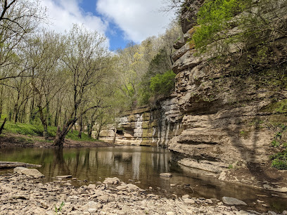
Markets, malls and hidden boutiques
Cumberland Falls State Resort Park
Experience the breathtaking beauty and adventure of Cumberland Falls State Resort Park, a premier natural destination in Kentucky.
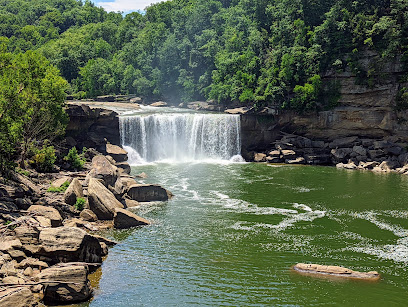
London Marketplace
Discover a shopper's paradise at London Marketplace, where diverse retail options and delicious dining await in the heart of Kentucky.

Sheltowee Trace Adventure Resort
Discover the thrill of white-water rafting and the serenity of cabin retreats at Sheltowee Trace Adventure Resort in beautiful Kentucky.
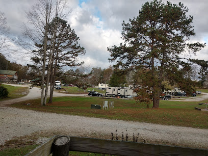
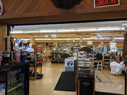
Dog Patch Trading Post
Explore the charm of Kentucky at Dog Patch Trading Post, your one-stop shop for unique gifts and local souvenirs.
Books-A-Million
Explore a world of books, collectibles, and unique gifts at Books-A-Million in Corbin, KY - a paradise for book lovers and gift seekers.

Belk
Discover a diverse shopping experience at Belk in Corbin, KY, featuring clothing, accessories, and home goods for the entire family.

bealls
Discover fashion for all ages at Bealls in London, KY, where style meets affordability in a welcoming shopping atmosphere.

McCreary Mountain Craft Center
Discover unique handcrafted items and local artistry at McCreary Mountain Craft Center in Parkers Lake, Kentucky – a treasure for art lovers and tourists alike.
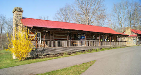
312 market
Explore fresh local flavors at 312 Market, Corbin's top grocery store for unique products and warm, friendly service.

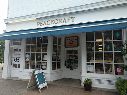
PeaceCraft
Explore the unique crafts of PeaceCraft, a fair trade organization in Berea, Kentucky, supporting artisans worldwide with every purchase.
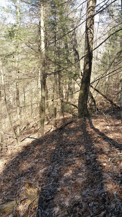
Sheltowee Trace Trailhead (section 24, London District)
Explore the Sheltowee Trace Trailhead in London, Kentucky: an outdoor haven for hiking enthusiasts amidst nature's beauty.
Olive You Boutique
Explore Olive You Boutique in Richmond, KY for unique gifts and trendy women's clothing, capturing the local spirit and style.

The Cotton Market
Explore The Cotton Market in Richmond, KY, where local craftsmanship meets delightful gifts and unique clothing, perfect for every traveler.

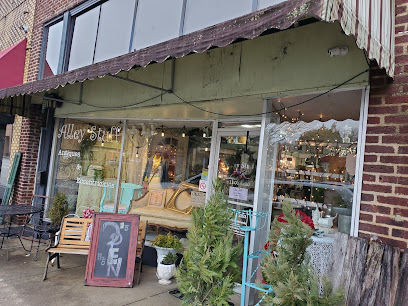
ALLEY STUFF ANTIQUES & ECCENTRICITIES
Explore a unique antique treasure trove in Corbin, KY, featuring vintage furniture, home goods, and exquisite jewelry in a delightful atmosphere.
Posh Boutique
Discover fashion excellence at Posh Boutique in London, Kentucky, offering a curated selection of stylish clothing and accessories for every occasion.

Essential bars & hidden hideouts
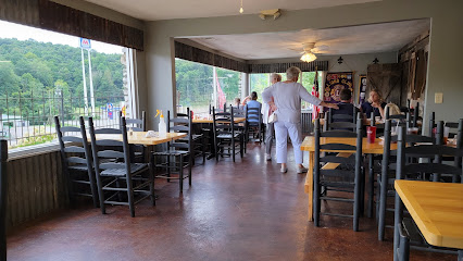
Limestone Grille
Experience the heart of American cuisine at Limestone Grille in Mt. Vernon, Kentucky - where every meal is a celebration of flavor and hospitality.
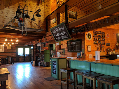
Sky Bridge Station
Discover the charm of Sky Bridge Station, a welcoming bar and restaurant in Pine Ridge, Kentucky, offering delicious food and a delightful selection of drinks.
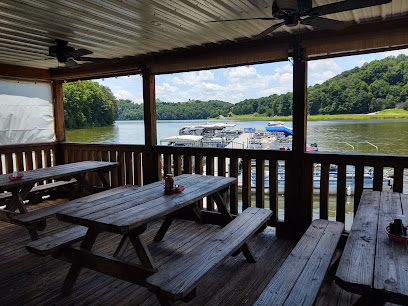
Back Porch Smokehouse
Delight in authentic Southern barbecue at Back Porch Smokehouse, where smoky flavors and warm hospitality await every visitor.
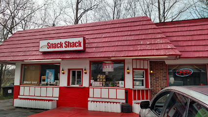
Snack Shack
Experience the best of American fast food at Snack Shack in Mt Vernon, Kentucky, where delicious flavors and affordability meet.
Frostyette
Discover the flavors of Kentucky at Frostyette, a cozy restaurant in Sandgap offering delicious meals in a friendly atmosphere.
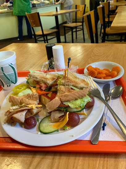
RTEC Trolley Cafe
Experience the best of American comfort food at RTEC Trolley Cafe in Mt. Vernon, Kentucky, where every meal is a warm invitation.
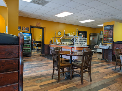
Opal’s Restaurant
Discover the flavors of Kentucky at Opal’s Restaurant, where home-cooked meals meet Southern hospitality in a cozy setting.
Silver Eagle
Discover the heart of Mt. Vernon's nightlife at Silver Eagle, where live music, delicious food, and unforgettable experiences await!

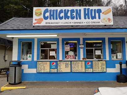
Chicken Hut
Experience the heartwarming taste of Southern comfort food at Chicken Hut in McKee, Kentucky, where friendly service meets delicious fried chicken.
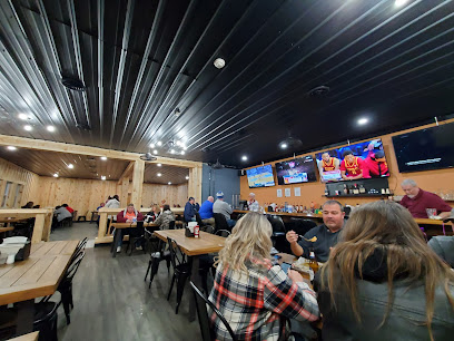
Trail Town Bar & Grill
Experience local flavors and a vibrant atmosphere at Trail Town Bar & Grill in Olive Hill, Kentucky.
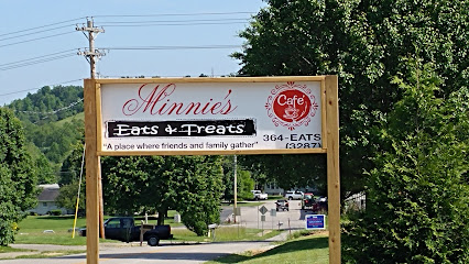
Minnie Eats & Treats Cafe
Experience the best of American cuisine at Minnie Eats & Treats Cafe, where delicious food meets a warm, welcoming atmosphere in Annville, KY.
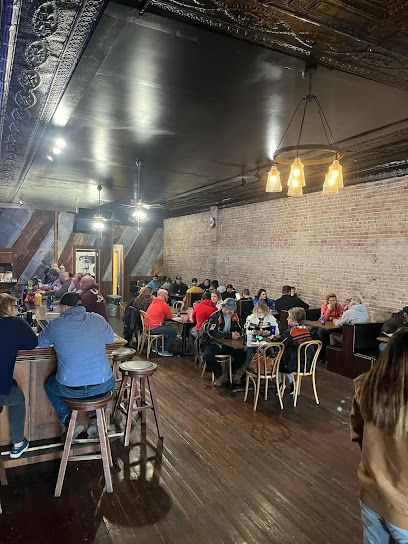
Down On Main
Experience the heart of American cuisine at Down On Main, a charming restaurant in Mt. Vernon, Kentucky, perfect for every food lover.
El Dorado Mexican Restaurant
Experience the vibrant flavors of authentic Mexican cuisine at El Dorado Mexican Restaurant in McKee, Kentucky, perfect for families and food lovers alike.
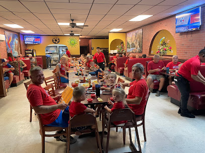
Sheltowee Trace Trailhead (section 24, London District)
Discover the Sheltowee Trace Trailhead in Kentucky, a hiking paradise with stunning scenery and well-marked trails for all levels of adventurers.
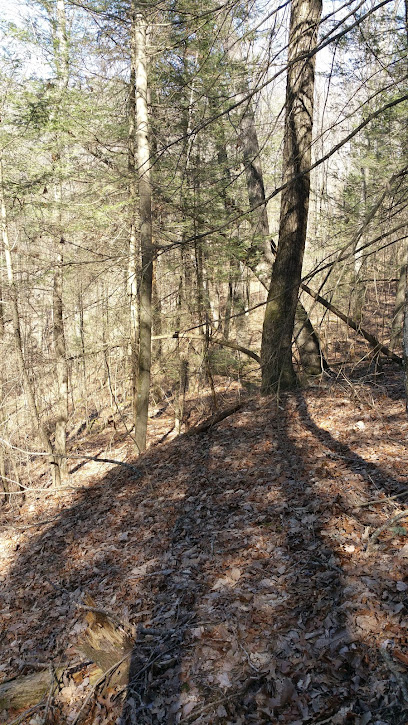
Lost Boat
Discover the delightful Lost Boat Cafe in East Bernstadt, where local flavors and cozy ambiance await every visitor.
Local Phrases about Sheltowee Trace National Recreation Trail
-
- HelloHowdy
[haw-dee] - GoodbyeSee ya
[see yah] - YesYep
[yep] - NoNah
[nah] - Please/You're welcomePlease/You're welcome
[pleez / yer welcome] - Thank youThanks a heap
[thanks uh heap] - Excuse me/SorryPardon me
[pahr-dn mee] - How are you?How y'all doin'?
[how y'all doin'] - Fine. And you?Fine. And y'all?
[fine. and y'all] - Do you speak English?Y'all speak English?
[y'all speak english?] - I don't understandI ain't gettin' ya
[I ain't get-tin' ya]
- HelloHowdy
-
- I'd like to see the menu, pleaseI reckon I'll take a gander at the menu
[I reckon I'll take a gan-dur at the menu] - I don't eat meatI don't eat no meat
[I don't eat no meat] - Cheers!Cheers!
[cheers!] - I would like to pay, pleaseI reckon I'll settle up now
[I reckon I'll settle up now]
- I'd like to see the menu, pleaseI reckon I'll take a gander at the menu
-
- Help!Help!
[Help!] - Go away!Git!
[Git!] - Call the Police!Call the Sheriff!
[Call the Sheriff!] - Call a doctor!Call a doc!
[Call a doc!] - I'm lostI'm turned around
[I'm turned around] - I'm illI'm feelin' poorly
[I'm feelin' poorly]
- Help!Help!
-
- I'd like to buy...I reckon I'll buy...
[I reckon I'll buy...] - I'm just lookingI'm just scopin' things out
[I'm just scope-in' things out] - How much is it?What's the price on it?
[What's the price on it?] - That's too expensiveThat's mighty pricey
[That's mighty pricey] - Can you lower the price?Can you do any better on the price?
[Can you do any better on the price?]
- I'd like to buy...I reckon I'll buy...
-
- What time is it?What's the time?
[What's the time?] - It's one o'clockIt's one of the clock
[It's one of the clock] - Half past (10)Half past ten
[Half past ten] - MorningMornin'
[Mornin'] - AfternoonAfternoon
[Afternoon] - EveningEvenin'
[Evenin'] - YesterdayYest'day
[Yest'day] - TodayToday
[Today] - TomorrowTomorrer
[Tomorrer] - 1One
[One] - 2Two
[Two] - 3Three
[Three] - 4Four
[Four] - 5Five
[Five] - 6Six
[Six] - 7Seven
[Seven] - 8Eight
[Eight] - 9Nine
[Nine] - 10Ten
[Ten]
- What time is it?What's the time?
-
- Where's a/the...?Where's the...
[Where's the...] - What's the address?What's the holler?
[What's the holler?] - Can you show me (on the map)?Can you point it out (on the map)?
[Can you point it out (on the map)?] - When's the next (bus)?When's the next (bus)?
[When's the next (bus)?] - A ticket (to ....)A ticket (to ....)
[A ticket (to ....)]
- Where's a/the...?Where's the...
History of Sheltowee Trace National Recreation Trail
-
The Sheltowee Trace National Recreation Trail traverses lands that were once the domain of various Native American tribes, including the Shawnee and Cherokee. The name 'Sheltowee' itself means 'Big Turtle,' a name given to Daniel Boone by Chief Blackfish of the Shawnee tribe. This trail was part of the ancient pathways used for trade, hunting, and travel by these indigenous peoples.
-
In the late 18th century, frontiersman Daniel Boone played a pivotal role in the westward expansion of the United States. The Sheltowee Trace follows parts of the Wilderness Road, a route that Boone blazed through the Cumberland Gap to Kentucky. This trail opened up the region to settlers moving westward and has since become an iconic symbol of American pioneering spirit.
-
During the American Civil War, the areas surrounding the Sheltowee Trace saw significant military activity. The trail passes near the site of the Battle of Camp Wildcat in 1861, one of the first Union victories in Kentucky. The Union's defensive position along the Wilderness Road was crucial in maintaining control over this strategically important region.
-
In the late 19th and early 20th centuries, the Sheltowee Trace region experienced a boom in the timber and logging industry. The forests along the trail were rich in hardwoods, which were in high demand. Logging camps and narrow-gauge railroads sprang up, leaving a lasting impact on the landscape and contributing to the economic development of the area.
-
The Sheltowee Trace National Recreation Trail runs through the heart of the Daniel Boone National Forest, which was established in 1937. Named in honor of the legendary frontiersman, the forest covers over 700,000 acres and includes diverse ecosystems, scenic landscapes, and numerous archaeological sites. The creation of the national forest was a significant step in preserving the natural beauty and historical significance of the region.
-
The Sheltowee Trace National Recreation Trail was officially designated in 1979. Spanning over 300 miles, it offers hikers, bikers, and horseback riders a chance to explore the diverse landscapes of Kentucky. The trail is maintained by the Sheltowee Trace Association and numerous volunteers, ensuring that it remains a vital part of the state's outdoor recreation and cultural history.
Sheltowee Trace National Recreation Trail Essentials
-
The Sheltowee Trace National Recreation Trail spans over 300 miles through Kentucky and a small portion of Tennessee. The nearest major airports are Blue Grass Airport in Lexington, Kentucky, and Cincinnati/Northern Kentucky International Airport. From these airports, you can rent a car and drive to various trailheads. The most popular starting points are at Northern Terminus in Rowan County near Morehead, Kentucky, and the Southern Terminus at Burnt Mill Bridge in the Big South Fork National River and Recreation Area in Tennessee.
-
To navigate the Sheltowee Trace, a car is the most convenient option. There are multiple trailheads, and local shuttle services are available for thru-hikers who need to arrange drop-off and pick-up points. Some areas of the trail are accessible by bike, but be prepared for rugged conditions. Public transportation options are limited in the rural areas surrounding the trail.
-
The official currency is the United States Dollar (USD). Credit and debit cards are widely accepted in nearby towns, but it's advisable to carry some cash, especially when venturing into more remote areas. ATMs are available in larger towns like Morehead and Somerset, but may not be present near trailheads.
-
The Sheltowee Trace Trail is generally safe for tourists, but it is essential to take standard precautions. Always inform someone of your hiking plans and expected return. Be aware of wildlife, and carry proper supplies, including a map, compass, and first-aid kit. There are no specific high-crime areas targeting tourists, but standard safety measures such as not leaving valuables in your car and being aware of your surroundings are recommended.
-
In case of emergency, dial 911 for immediate assistance. Cell phone signal can be spotty in some sections of the trail, so it is crucial to carry a map and know your location. Local ranger stations and visitor centers can provide assistance if needed. It's highly recommended to carry a personal locator beacon or satellite phone for emergencies in remote areas.
-
Fashion: Do wear appropriate hiking attire, including sturdy boots and weather-appropriate clothing. Avoid wearing flip-flops or open-toe shoes on the trail. Religion: Do respect local customs and traditions, especially if you visit nearby small towns. Public Transport: Do be prepared for limited public transportation options; renting a car is advisable. Greetings: Do greet fellow hikers with a friendly nod or 'hello.' Eating & Drinking: Do bring enough food and water for your hike and pack out all trash. Don't feed wildlife or leave food scraps, as it can attract animals.
-
To experience the Sheltowee Trace like a local, take the time to explore the surrounding areas, including the Red River Gorge and Natural Bridge State Resort Park. Engage with local hikers and join community events or trail maintenance days. Visit local diners and shops in nearby towns like Morehead and Livingston to get a taste of local culture and cuisine. Don't miss the seasonal beauty of the trail, including wildflower blooms in spring and vibrant foliage in fall.
Nearby Cities to Sheltowee Trace National Recreation Trail
-
Things To Do in Frankfort
-
Things To Do in Bardstown
-
Things To Do in Oak Ridge
-
Things To Do in Knoxville
-
Things To Do in Elizabethtown
-
Things To Do in Pigeon Forge
-
Things To Do in Louisville
-
Things To Do in Gatlinburg
-
Things To Do in New Albany
-
Things To Do in Johnson City
-
Things To Do in Fort Thomas
-
Things To Do in Covington
-
Things To Do in Cincinnati
-
Things To Do in Lebanon
-
Things To Do in Mason


