

Free Escalante Desert Travel Guide & Mobile App
Explore Escalante Desert with free travel guides. Discover regional history, expert tips, proposed trips, and audio guides on web or mobile app.


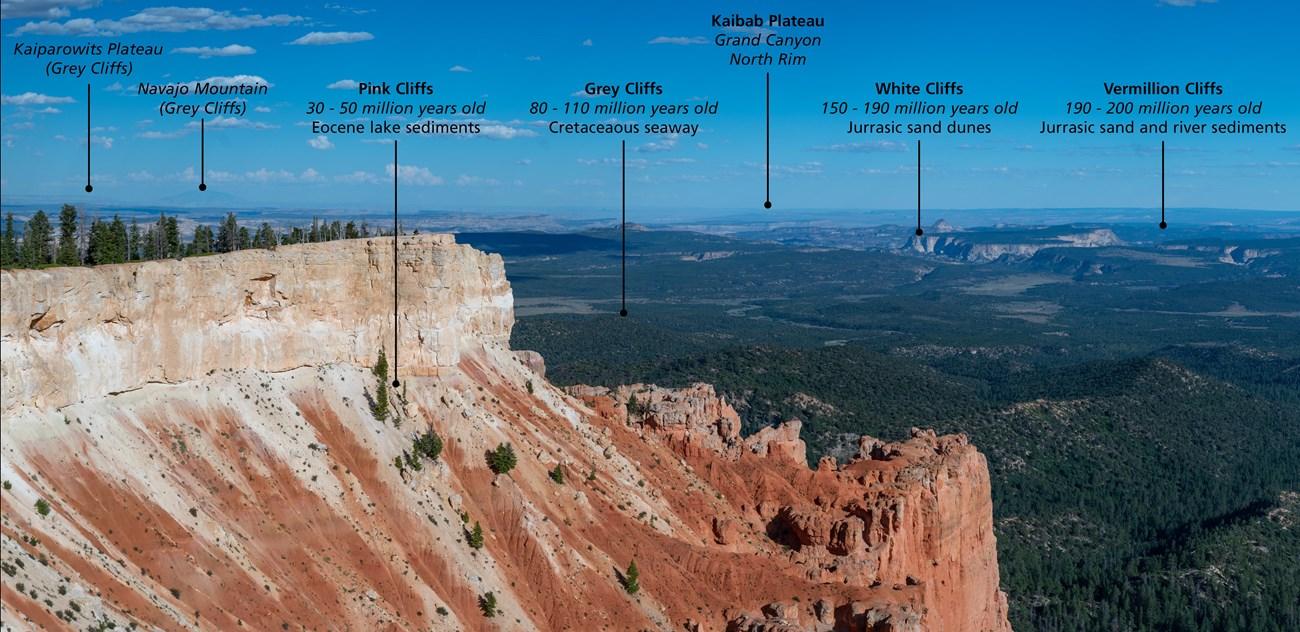


Explore Utah's Escalante Desert for sandstone canyons, river trails, dark skies, scenic drives and the wide-open landscapes of Grand Staircase country.
Read more about Escalante Desert
Getting to and around Escalante Desert
How to get there
Transportation
Top city travel guides in Escalante Desert
The cities of Escalante Desert, and the easiest places to base yourself.
-

-

-

-


Swipe for more cities
Destinations in Escalante Desert
Resorts, valleys and scenic spots worth a trip of their own.
-

-

-

-

-


Swipe for more destinations
Best attractions in Escalante Desert
The Escalante Desert's attractions are primarily geological and outdoor rather than built. Grand Staircase–Escalante National Monument contains broad plateaux, eroded amphitheatres, slickrock expanses and the deeply cut Escalante canyon system, offering walks that range from accessible viewpoints to demanding multi-day routes. Lower Calf Creek Falls is one of the area's best-known hikes, combining a sandy canyon trail with a waterfall and archaeological traces. Devil's Garden, near Hole-in-the-Rock Road, presents a compact collection of sculpted sandstone forms that can be explored on foot. The Hole-in-the-Rock corridor itself is both a scenic drive and a historical landscape, although its unpaved sections require careful preparation. The Escalante River and its tributaries support water-based canyon journeys, while surrounding mesas and desert roads provide opportunities for photography, geology and stargazing. Boulder Mountain, north of the desert communities, offers a cooler, more wooded contrast and can be included as a separate high-country excursion. Wildlife is adapted to arid conditions, and visitors may see mule deer, ravens, lizards and other species without approaching or feeding them.
-
National forest
Dixie National Forest
Explore the enchanting Dixie National Forest, where vibrant landscapes and diverse wildlife create an unforgettable outdoor adventure in Cedar City, Utah.
-
Nature preserve
Grand Staircase-Escalante National Monument
Explore the stunning landscapes and rich geological history of Grand Staircase-Escalante National Monument, a must-visit nature preserve in Utah.
-
Monument
Cedar Breaks National Monument
Explore the breathtaking beauty of Cedar Breaks National Monument, where stunning rock formations meet vibrant wildflower meadows in Utah's high country.
-
Tourist attraction
Parowan Gap Petroglyphs
Discover the ancient artistry of the Parowan Gap Petroglyphs, a captivating historical landmark in Utah's stunning desert landscape.



Best landmarks in Escalante Desert
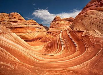
The Escalante River is the region's defining natural landmark, cutting a sinuous course through sandstone country and creating a network of side canyons, pools and riparian corridors. Lower Calf Creek Falls is a notable visual landmark as well as a destination, dropping over a pale cliff into vegetation that contrasts sharply with the surrounding desert. The towering walls and narrow passages of the Escalante canyons reveal the layered geology of the Colorado Plateau, while the broad terraces of Grand Staircase–Escalante give the region its characteristic stepped profile. Hole-in-the-Rock is both a physical break in the cliffs and a symbol of the nineteenth-century settler route across difficult terrain. On the road between Escalante and Boulder, the higher country around Boulder Mountain forms a marked geographical transition from red-rock desert to forested plateau. Devil's Garden is distinguished by its freestanding sandstone fins and hoodoo-like forms, shaped by erosion rather than monumental construction. Together these places make the landscape itself the region's principal architectural and historical record.
-
National forest
Dixie National Forest
Discover the breathtaking landscapes and recreational opportunities at Dixie National Forest, a natural gem in southern Utah, perfect for outdoor enthusiasts.
-
Monument
Cedar Breaks National Monument
Explore the stunning landscapes and unique geological formations of Cedar Breaks National Monument, a true gem in the heart of Utah's wilderness.
-
Historical landmark
Parowan Gap Petroglyphs
Explore the Parowan Gap Petroglyphs, a historical landmark in Utah showcasing ancient Native American rock art amidst stunning desert scenery.
-
History museum
Frontier Homestead State Park Museum
Explore the pioneering history of Cedar City at the Frontier Homestead State Park Museum, where heritage comes alive with immersive exhibits and authentic artifacts.



Explore Escalante Desert on the map
Plan your trip on one map. See where the top cities, national parks and sights are, and book hotels and experiences in a few clicks.
Best hotels in Escalante Desert
Best restaurants in Escalante Desert
Dining in the Escalante Desert is concentrated in Escalante and Boulder, with a small-town mix of cafés, bakeries, casual restaurants, food trucks, lodges and traditional American cafés rather than a large restaurant district. Meals often suit road travel and hiking: breakfast plates, sandwiches, burgers, soups, salads and baked goods are common practical choices, while nearby farms and ranches contribute seasonal produce and meat where available. Local food identity is also expressed through Utah staples such as fry sauce, hearty diner cooking and regional baking, though these are state-wide traditions rather than exclusive Escalante dishes. In the surrounding countryside, self-catering is important, so visitors should buy provisions before remote excursions and never depend on finding food at a trailhead. Boulder and Escalante may offer more ambitious cooking and locally influenced menus than their size suggests, but opening arrangements can vary seasonally; checking locally is sensible, particularly outside the busiest travel months.
-
Breakfast
All American Diner
Experience classic American breakfast at All American Diner in Cedar City – where hearty meals meet friendly service.
-
Pizza
Centro Woodfired Pizzeria
Experience authentic wood-fired pizzas and exquisite European dishes at Centro Woodfired Pizzeria in Cedar City.
-
Pizza
The Pizza Cart
Discover delicious handcrafted pizzas at The Pizza Cart in Cedar City – where every bite is a taste of culinary delight.
-
Mexican
Lupita's Mexican Restaurant
Discover authentic Mexican cuisine at Lupita's Mexican Restaurant in Cedar City – where every dish is a celebration of flavor.


Best bars in Escalante Desert
Nightlife in the Escalante Desert is low-key and centred on restaurants, cafés, lodges and occasional pub-style settings rather than nightclubs. Escalante and Boulder provide the main places for an evening meal or drink, while visitors staying in remote accommodation often spend the hours after dark outdoors under exceptionally clear skies. Alcohol is available subject to Utah and United States law, but rural services are limited and driving distances are significant, so arranging transport before drinking is essential. Live music, community gatherings and seasonal events may occur, but they are not a permanent nightly programme and should be checked locally. The region's evening culture is better understood through quiet meals, conversation, dark-sky viewing and early starts for the following day's hike than through late-night entertainment. Respect quiet hours at campsites and lodging, particularly in a landscape where sound carries across open ground.
-
Steak
Stage Coach Grille
Experience the best of Southwestern and American cuisine at Stage Coach Grille, a must-visit steakhouse in La Verkin, Utah.
-
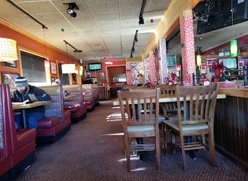
Restaurant
Applebee's Grill + Bar
Discover Applebee's Grill + Bar, where classic American cuisine meets a family-friendly atmosphere in Cedar City, Utah.
-
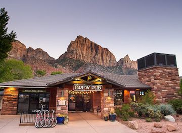
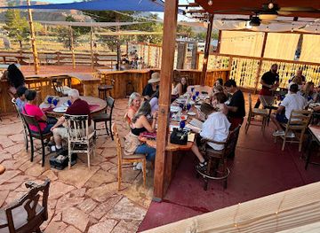
Brewpub
Zion Canyon Brew Pub
Experience the perfect blend of local craft beers and delicious food in a stunning setting near Zion National Park.
-
American
Balcony One
Discover Balcony One in Virgin, Utah: a delightful American restaurant with a stunning view and an inviting atmosphere for every food lover.

Best nightclubs in Escalante Desert
Nightlife in the Escalante Desert is low-key and centred on restaurants, cafés, lodges and occasional pub-style settings rather than nightclubs. Escalante and Boulder provide the main places for an evening meal or drink, while visitors staying in remote accommodation often spend the hours after dark outdoors under exceptionally clear skies. Alcohol is available subject to Utah and United States law, but rural services are limited and driving distances are significant, so arranging transport before drinking is essential. Live music, community gatherings and seasonal events may occur, but they are not a permanent nightly programme and should be checked locally. The region's evening culture is better understood through quiet meals, conversation, dark-sky viewing and early starts for the following day's hike than through late-night entertainment. Respect quiet hours at campsites and lodging, particularly in a landscape where sound carries across open ground.
-
Bar
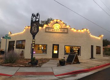
4th West Pub
Experience the best of Escalante at 4th West Pub, where delicious food meets a vibrant atmosphere in a welcoming setting.
-
Bar
Warehouse Bar + Kitchen
Discover the heart of Cedar City at Warehouse Bar + Kitchen, where delicious food meets a vibrant atmosphere and extensive drink selection.
-
Bar
BlackBird Bar
Discover Cedar City's nightlife at BlackBird Bar, a vibrant hotspot for drinks, live music, and socializing in Utah.


Best shops in Escalante Desert
Shopping in the Escalante Desert is practical, local and dispersed. Escalante and Boulder have small shops, galleries, outfitters and food retailers where visitors can obtain provisions, outdoor supplies, books, maps, locally produced goods and souvenirs connected with the surrounding landscape. Regional products may include preserves, baked goods, honey, artwork, ceramics, jewellery and crafts, although availability varies by season and individual maker. Farmers' markets and roadside sales can appear during the warmer growing season, but they should not be treated as a guaranteed daily feature. Art galleries and studios offer work inspired by sandstone, desert plants and local history, while independent shops may stock products from southern Utah artists rather than mass-produced tourist merchandise. There are no large shopping centres in the desert, so purchase fuel, water, food and essential hiking supplies before setting out on remote roads. A respectful souvenir is a locally made object or regional food product, never an archaeological artefact, fossil or piece of protected public land.
-
Department store
Walmart Supercenter
Explore the expansive selection at Walmart Supercenter in Cedar City, your ultimate destination for groceries, electronics, clothing, and more at affordable prices.
-
Hotel
Best Western Town & Country Inn
Experience comfort and hospitality at Best Western Town & Country Inn, your gateway to exploring Cedar City and Utah's stunning natural wonders.
-
Hotel
La Quinta Inn & Suites by Wyndham Cedar City
Experience comfort and convenience at La Quinta Inn & Suites in Cedar City, the gateway to Utah's natural wonders and cultural gems.
-
Hotel
Best Western Plus Cedar City
Experience the perfect blend of comfort and convenience at Best Western Plus Cedar City, your ideal home base for exploring Utah's natural beauty.


Get your free copy of our complete guide to Escalante Desert, delivered straight to you.
Everything on this page, from attractions and restaurants to essentials and local phrases, in one PDF you can read offline, print or share.
Already have an account? Sign in
Your Escalante Desert guide is ready.
We'll send it to · Not you? Sign out

Getting your guide ready…
We are putting together a fresh copy of the Escalante Desert guide. This can take up to a minute.
This can take a few moments. If your browser asks, choose Allow so the download can start. You'll find the guide in your Downloads folder.
Nothing happened? Download it again
Sorry, the guide is taking longer than usual. Please try again in a minute, or get it by email instead.
Escalante Desert essentials
Currency and Payment
Safety
Emergency Situations
Do's and Don'ts
Local Tips
From Eve
Local phrases worth knowing
You don't need to get them perfect. A few words go a long way, and locals appreciate the effort.
Basics
| English | Local | Say it |
|---|---|---|
| Hello | Howdy | [How-dee] |
| Goodbye | See ya | [See yah] |
| Yes | Yep | [Yep] |
| No | Nah | [Nah] |
| Please/You're welcome | Sure thing | [Shur thing] |
| Thank you | Thanks a lot | [Thangs a lot] |
| Excuse me/Sorry | Pardon me | [Pardon me] |
| How are you? | How's it going? | [How's it goin'?] |
| Fine. And you? | Good. You? | [Good. You?] |
| Do you speak English? | You speak English? | [You speak English?] |
| I don't understand | I ain't got it | [I ain't got it] |
Eating & Drinking
| English | Local | Say it |
|---|---|---|
| I'd like to see the menu, please | Can I see the menu? | [Can I see the menu?] |
| I don't eat meat | I don't do meat | [I don't do meat] |
| Cheers! | Cheers! | [Cheers!] |
| I would like to pay, please | Can I get the check? | [Can I get the check?] |
Emergencies
| English | Local | Say it |
|---|---|---|
| Help! | Help! | [Help!] |
| Go away! | Get lost! | [Get lost!] |
| Call the Police! | Call the cops! | [Call the cops!] |
| Call a doctor! | Get a doctor! | [Get a doctor!] |
| I'm lost | I’m turned around | [I’m turned around] |
| I'm ill | I ain't feelin' good | [I ain't feelin' good] |
Shopping
| English | Local | Say it |
|---|---|---|
| I'd like to buy... | I wanna buy... | [I wanna buy...] |
| I'm just looking | Just browsing | [Just browsing] |
| How much is it? | What’s the price? | [What’s the price?] |
| That's too expensive | That’s a bit pricey | [That’s a bit pricey] |
| Can you lower the price? | Can you drop the price? | [Can you drop the price?] |
Time & Numbers
| English | Local | Say it |
|---|---|---|
| What time is it? | What time ya got? | [What time ya got?] |
| It's one o'clock | It's one | [It's one] |
| Half past (10) | Half past ten | [Half past ten] |
| Morning | Morning | [Morning] |
| Afternoon | Afternoon | [Afternoon] |
| Evening | Evening | [Evening] |
| Yesterday | Yesterday | [Yesterday] |
| Today | Today | [Today] |
| Tomorrow | Tomorrow | [Tomorrow] |
| 1 | One | [One] |
| 2 | Two | [Two] |
| 3 | Three | [Three] |
| 4 | Four | [Four] |
| 5 | Five | [Five] |
| 6 | Six | [Six] |
| 7 | Seven | [Seven] |
| 8 | Eight | [Eight] |
| 9 | Nine | [Nine] |
| 10 | Ten | [Ten] |
Transport & Directions
| English | Local | Say it |
|---|---|---|
| Where's a/the...? | Where's the...? | [Where's the...?] |
| What's the address? | What’s the address? | [What’s the address?] |
| Can you show me (on the map)? | Can ya point it out? | [Can ya point it out?] |
| When's the next (bus)? | When's the next bus? | [When's the next bus?] |
| A ticket (to ....) | I need a ticket to... | [I need a ticket to...] |
History of Escalante Desert
Ancestral Puebloan and Fremont Heritage
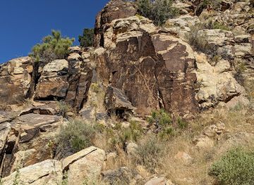
The Escalante country contains evidence of long Indigenous occupation, including archaeological sites, traces of farming and rock imagery associated with Ancestral Puebloan and Fremont traditions. People adapted to a difficult environment by using river margins, sheltered canyon spaces and seasonal resources across the Colorado Plateau. These remains are vulnerable to erosion, disturbance and careless collecting, so their value is both historical and cultural rather than simply scenic. Visitors should not touch rock art, enter protected sites without permission or remove artefacts, pottery fragments or fossils.
The Domínguez–Escalante Expedition, 1776
In 1776, Franciscan friars Francisco Atanasio Domínguez and Silvestre Vélez de Escalante led a Spanish expedition from Santa Fe in search of a route to the missions of California. The party travelled through parts of what is now southern Utah, recording landscapes, waterways and Indigenous communities. The Escalante River and the modern town of Escalante ultimately took their names from the expedition's principal diarist. Their journey belongs to the wider history of Spanish exploration in the interior West, rather than representing a permanent colonial settlement in the desert.
Mormon Settlement and the Hole-in-the-Rock Route
In 1879 and 1880, Mormon settlers organised an arduous migration from northern parts of the Utah Territory towards the San Juan country. The Hole-in-the-Rock expedition carved and improved a route down the Colorado Plateau's cliffs, then crossed the Colorado River and continued through extremely difficult terrain. Escalante became one of the settlements associated with this southern Utah frontier. The route's surviving traces and the roads that follow parts of its corridor illustrate the practical challenges of nineteenth-century transport across the desert.
Remote Ranching and Regional Communities
During the late nineteenth and twentieth centuries, small communities around Escalante and Boulder combined ranching, limited agriculture, timber work on the higher plateaux and services for widely scattered residents. Water availability and winter conditions shaped where people could live and what they could produce. Roads gradually replaced older trails, linking the settlements with the rest of Utah while leaving the surrounding canyons comparatively remote. This history remains visible in town buildings, historic routes, working landscapes and the continuing importance of local knowledge in backcountry travel.
Scientific Recognition of the Colorado Plateau
Geological research transformed understanding of the region during the twentieth century. Erosion has exposed remarkably complete layers of sedimentary rock, allowing scientists to study ancient deserts, rivers, coastlines and environments preserved in the Colorado Plateau. The cliffs and terraces around the Escalante canyons are therefore not merely dramatic scenery: they are an extensive record of geological time. Fossils and other scientific resources are protected, and collecting them without the appropriate authorisation is not an acceptable souvenir activity.
Grand Staircase–Escalante National Monument, 1996
The federal government designated Grand Staircase–Escalante National Monument in 1996, protecting a large area of southern Utah that includes the Escalante canyon country and extensive surrounding plateaux. The designation recognised geological formations, archaeological resources, palaeontological sites and ecological diversity. Its boundaries and management arrangements have been politically debated and changed over time, but the central principle of conserving a nationally important public landscape remains significant. Visitors encounter this legacy through permit systems, land-management rules and the emphasis on low-impact recreation.
Escalante Desert in Photos
Browse through our photo collection highlighting the charm and character of the destination.
Neighbouring regions of Escalante Desert
The closest regions to Escalante Desert, if you have time for more than one.
-
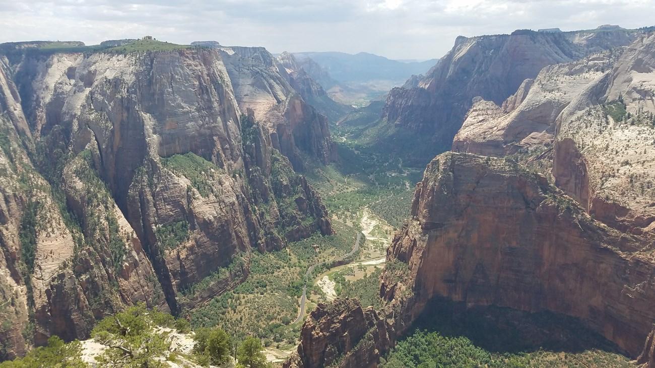 Dixie
Explore Dixie Utah for red-rock canyons, desert trails, St George heritage, high plateaux and access to Zion’s dramatic landscapes.
-

-

-

-
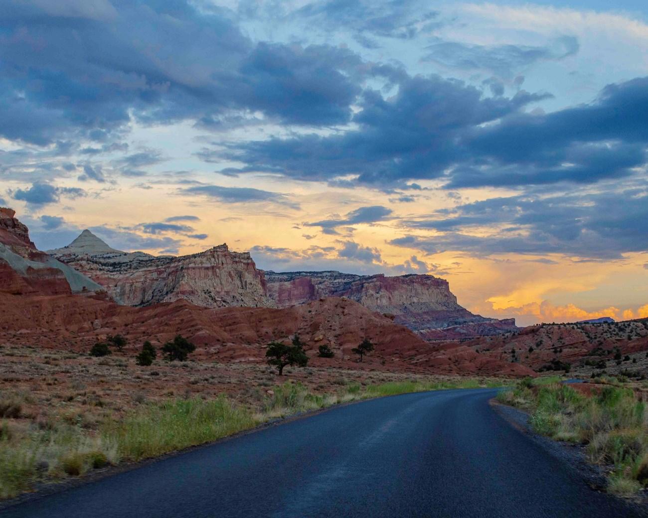 Capitol Reef National Park
Explore Capitol Reef National Park in Utah for folded red-rock geology, historic Fruita orchards, scenic drives, canyons and remote desert trails.


Swipe for more regions
Explore more

Explore more of Utah
Explore Utah's stunning national parks, rich cultural heritage, and year-round outdoor adventures. Discover why this diverse state is a top destination for travelers.
Explore Utah