

Free Lake Powell Travel Guide & Mobile App
Explore Lake Powell with free travel guides. Discover regional history, expert tips, proposed trips, and audio guides on web or mobile app.


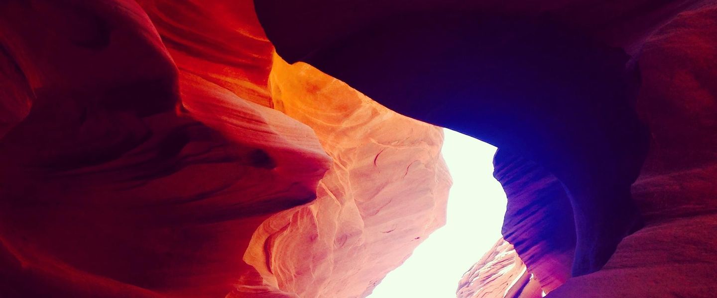


Lake Powell in Utah combines boating, desert camping and red-rock canyon scenery across the remote waters of Glen Canyon National Recreation Area.
Read more about Lake Powell
Getting to and around Lake Powell
How to get there
Transportation
Destinations in Lake Powell
Resorts, valleys and scenic spots worth a trip of their own.

Swipe for more destinations
Best attractions in Lake Powell
Lake Powell’s attractions are inseparable from its water and the canyon country that surrounds it. Boating is the central activity, whether from a houseboat, hired motorboat, guided trip, kayak or paddleboard, with side canyons offering changing views of Navajo sandstone, beaches and narrow water passages. The Utah shore around Bullfrog and Halls Crossing provides access to the lake’s broad central reaches, while the Escalante Arm offers a more winding and remote experience. Farther north, Hite is a quieter base for exploring the upper reservoir and surrounding desert, though facilities and access can be limited. Rainbow Bridge National Monument is the region’s best-known natural excursion, reached by water or by a demanding land approach from the surrounding plateau. Visitors can also fish, camp, photograph geology, watch desert birds and explore established trails and overlooks within Glen Canyon National Recreation Area. Interpretive sites and ranger information help explain the Colorado River, Indigenous history, archaeology and the creation of the reservoir. The attraction landscape is defined less by a concentration of built visitor facilities than by the opportunity to move through an immense, protected canyon system at a self-directed pace.
-
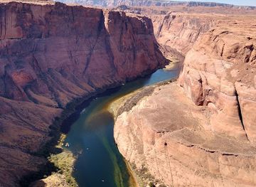
Horseshoe Bend
Explore the breathtaking beauty of Horseshoe Bend, a stunning natural landmark in Arizona, showcasing the majestic Colorado River and dramatic desert landscapes.
-
Grand Staircase-Escalante National Monument
Discover the breathtaking beauty of Grand Staircase-Escalante National Monument, a vast nature preserve rich in landscapes, wildlife, and geological wonders.
-
Glen Canyon Dam Overlook
Experience breathtaking views at the Glen Canyon Dam Overlook, a stunning vista point in Arizona showcasing the beauty of Glen Canyon and Lake Powell.
-
Wahweap Overlook
Discover the stunning views of Lake Powell from Wahweap Overlook, an iconic vista point in Arizona perfect for nature lovers and photographers.
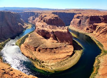
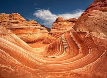

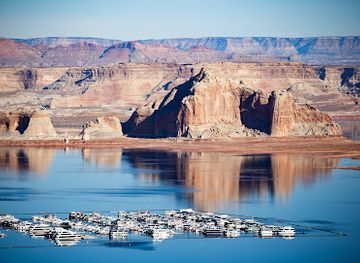
Best landmarks in Lake Powell
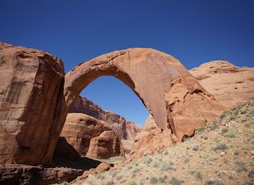
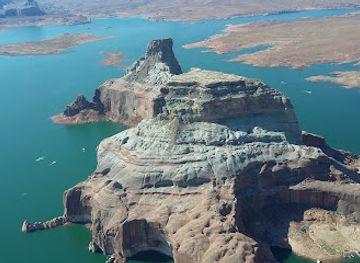
Rainbow Bridge is Lake Powell’s most important natural landmark: a vast sandstone arch protected as Rainbow Bridge National Monument and regarded as a sacred place by several Indigenous peoples. Its scale and symmetrical form are best appreciated from the approach route, where the surrounding cliffs frame the arch without reducing it to a roadside viewpoint. The reservoir itself is also a defining human-made landmark, its long blue channels occupying a former Colorado River canyon system beneath the walls of Glen Canyon. Around the Utah shore, steep Navajo sandstone cliffs, isolated buttes and the winding Escalante Arm create recognisable geological scenes that change with water level and light. Bullfrog Marina and Halls Crossing are functional landmarks of modern recreational infrastructure, linking road access with a vast navigable reservoir. Hite marks the northern, more remote end of the Utah lake environment, where the setting feels closer to an undeveloped river-and-desert landscape. The Glen Canyon Dam near Page is often associated with Lake Powell but stands outside Utah and outside the Utah section described here; it is best regarded as a nearby gateway landmark rather than a Utah Lake Powell landmark.
-
Tourist attraction
Rainbow Bridge National Monument
Explore the breathtaking Rainbow Bridge National Monument, a stunning natural arch and cultural treasure in Utah's captivating landscapes.
-
Tourist attraction
Hite Overlook
Experience breathtaking views and rich history at Hite Overlook, a must-visit scenic spot overlooking the stunning Lake Powell.
-
Tourist attraction
Powell Point Vista
Discover the stunning beauty of Powell Point Vista in Utah, where breathtaking views and rich history come together for an unforgettable experience.
-
Tourist attraction
Lake Powell Navajo Tribal Park
Explore the breathtaking landscapes and rich cultural heritage of Lake Powell Navajo Tribal Park, a serene oasis in the heart of the Navajo Nation.

Explore Lake Powell on the map
Plan your trip on one map. See where the top cities, national parks and sights are, and book hotels and experiences in a few clicks.
Best hotels in Lake Powell
Best restaurants in Lake Powell
Dining around Lake Powell is practical and concentrated at marinas, lodge facilities and gateway communities rather than spread through traditional restaurant districts. Menus commonly suit boating and outdoor travel, with casual American meals, sandwiches, burgers, salads, breakfast dishes and takeaway provisions particularly useful before a day on the water. Shops and marina stores provide fuel, snacks, ice, drinks and basic supplies, but choice becomes limited quickly once visitors leave developed facilities. At Bullfrog and Halls Crossing, accommodation and marina dining can serve as convenient bases for exploring the Utah section; Wahweap and nearby Page, Arizona, provide a broader range of restaurants but lie outside Utah. Visitors planning a houseboat or remote camping trip should buy substantial provisions before departure and protect food from heat and wildlife. Regional shopping may also include Utah and Southwestern products, but Lake Powell’s culinary identity is chiefly shaped by waterside practicality, outdoor cooking and the logistics of a remote desert recreation area rather than by a distinct local cuisine.
-
Barbecue
Big John's Texas BBQ
Experience authentic Texas-style barbecue at Big John's Texas BBQ in Page, AZ—where every bite tells a story of flavor.
-
Mexican
El Tapatio
Experience authentic Mexican cuisine at El Tapatio in Page, AZ – where vibrant flavors meet a warm atmosphere.
-
Chicken
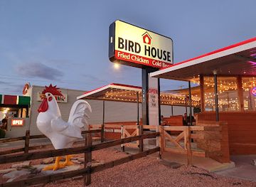
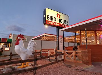
BirdHouse
Savor delicious chicken dishes at BirdHouse in Page, AZ—your go-to spot for fast food amidst breathtaking landscapes.
-
Mexican
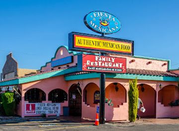
Fiesta Mexicana Restaurant
Experience authentic Mexican cuisine at Fiesta Mexicana Restaurant in Page, Arizona - where every meal is a celebration of flavor.
Best bars in Lake Powell
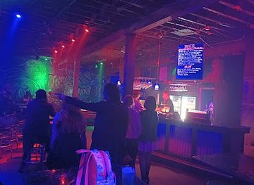
Lake Powell has no concentrated nightclub scene, and evening life is governed by marinas, campgrounds, lodges and the distance between settlements. Developed facilities around Bullfrog, Halls Crossing and Wahweap may offer casual drinks, restaurant service or a social setting for boaters, while evenings on houseboats and campsites often centre on cooking, conversation and dark-sky views rather than organised entertainment. Visitors should plan to finish boating and return safely before drinking, since the lake is large, navigation can be difficult after dark and mobile coverage is unreliable. Live entertainment and a wider selection of bars are more likely in the gateway community of Page, Arizona, outside the Utah portion of the destination. Remote shorelines are quiet and lack dependable late-night services, so carry necessary supplies, observe fire restrictions and avoid treating alcohol as a substitute for navigation, flotation equipment or sound judgement.
-
Barbecue
Big John's Texas BBQ
Experience authentic Texas-style barbecue at Big John's Texas BBQ in Page, Arizona, where every bite is a celebration of flavor and tradition.
-
Chicken
BirdHouse
Experience delicious chicken dishes at BirdHouse, a beloved fast-food restaurant in Page, AZ, known for its friendly service and vibrant atmosphere.
-
Family-friendly
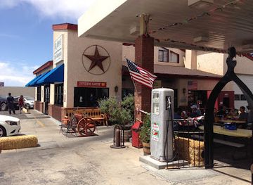
Gone West Family Restaurant
Experience family-friendly dining at Gone West Family Restaurant, with Southwestern flavors, live music, and unique souvenirs in Page, Arizona.
-
Bar
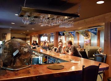
State 48 Tavern
Experience the vibrant flavors and local charm of State 48 Tavern in Page, Arizona, where American cuisine meets a welcoming bar atmosphere.

Best nightclubs in Lake Powell
Lake Powell has no concentrated nightclub scene, and evening life is governed by marinas, campgrounds, lodges and the distance between settlements. Developed facilities around Bullfrog, Halls Crossing and Wahweap may offer casual drinks, restaurant service or a social setting for boaters, while evenings on houseboats and campsites often centre on cooking, conversation and dark-sky views rather than organised entertainment. Visitors should plan to finish boating and return safely before drinking, since the lake is large, navigation can be difficult after dark and mobile coverage is unreliable. Live entertainment and a wider selection of bars are more likely in the gateway community of Page, Arizona, outside the Utah portion of the destination. Remote shorelines are quiet and lack dependable late-night services, so carry necessary supplies, observe fire restrictions and avoid treating alcohol as a substitute for navigation, flotation equipment or sound judgement.
-
Bar
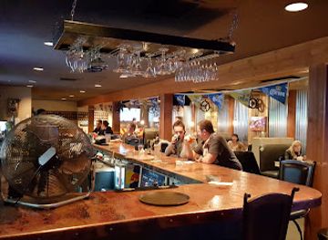
State 48 Tavern
Enjoy the best of American cuisine and lively atmosphere at State 48 Tavern in Page, Arizona, perfect for unwinding after exploring stunning landscapes.
-
Club 90
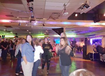
Experience the thrilling nightlife of Sandy, Utah at Club 90, where great music and lively vibes await every night.
-
Area 51
Discover the energetic nightlife of Salt Lake City at Area 51, a premier dance club with unforgettable music and vibrant atmosphere.
-
Sky SLC
Discover Sky SLC, the ultimate nightlife experience in Salt Lake City, featuring a dynamic atmosphere, great music, and a wide selection of drinks.

Best shops in Lake Powell
Shopping at Lake Powell is oriented towards outdoor needs rather than extensive retail. Marina stores around Bullfrog, Halls Crossing and other developed access points typically focus on fuel, groceries, ice, drinks, fishing supplies, boating equipment, camping necessities and souvenirs. Visitors heading into remote side canyons should purchase provisions and safety equipment before departure, as the lake has no continuous waterfront shopping strip. Small selections of regional gifts may include books about Glen Canyon, maps, outdoor clothing, local artwork and Southwestern-inspired crafts, subject to the individual facility. Wahweap and nearby Page in Arizona offer broader practical shopping and services but are outside Utah. Local food products, Native American art and handmade items can be found in gateway communities, but buyers should seek reputable sellers and ask about provenance, especially for cultural objects or archaeological-looking material. The most useful purchases for a Lake Powell trip are usually durable supplies, navigation aids and sun protection rather than luxury goods.
-
Donuts
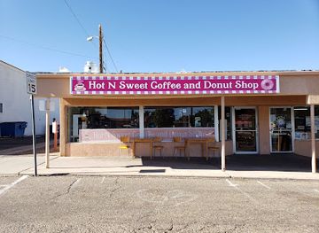
Hot n Sweet Coffee and Donut Shop
Experience the delightful flavors of Hot n Sweet Coffee and Donut Shop in Page, AZ, where fresh donuts and coffee create the perfect treat for travelers.
-
Tour operator
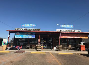
Lake Powell Paddleboards and Kayaks
Discover adventure at Lake Powell Paddleboards and Kayaks, where you can paddle through stunning landscapes and create unforgettable memories in nature.
-
Coffee shop
Lake Powell Espresso
Discover the comforting atmosphere and delightful brews at Lake Powell Espresso, your go-to coffee shop in Page, Arizona.
-
Gift shop
Antelope Point Marina
Experience breathtaking beauty and adventure at Antelope Point Marina on Lake Powell, your gateway to unforgettable outdoor activities.
Get your free copy of our complete guide to Lake Powell, delivered straight to you.
Everything on this page, from attractions and restaurants to essentials and local phrases, in one PDF you can read offline, print or share.
Already have an account? Sign in
Your Lake Powell guide is ready.
We'll send it to · Not you? Sign out

Getting your guide ready…
We are putting together a fresh copy of the Lake Powell guide. This can take up to a minute.
This can take a few moments. If your browser asks, choose Allow so the download can start. You'll find the guide in your Downloads folder.
Nothing happened? Download it again
Sorry, the guide is taking longer than usual. Please try again in a minute, or get it by email instead.
Lake Powell essentials
Currency and Payment
Safety
Emergency Situations
Do's and Don'ts
Local Tips
From Eve
Local phrases worth knowing
You don't need to get them perfect. A few words go a long way, and locals appreciate the effort.
Basics
| English | Local | Say it |
|---|---|---|
| Hello | Howdy | [Haudi] |
| Goodbye | See ya | [See yah] |
| Yes | Yep | [Yep] |
| No | Nope | [Nope] |
| Please/You're welcome | Sure thing | [Shur thing] |
| Thank you | Thanks a lot | [Thangs a lot] |
| Excuse me/Sorry | Pardon me | [Pardon me] |
| How are you? | How's it going? | [How's it goin'?] |
| Fine. And you? | Good. You? | [Good. You?] |
| Do you speak English? | Can ya speak English? | [Can ya speak English?] |
| I don't understand | I don't get it | [I don't get it] |
Eating & Drinking
| English | Local | Say it |
|---|---|---|
| I'd like to see the menu, please | Can I see the menu? | [Can I see the menu?] |
| I don't eat meat | I’m a vegetarian | [I'm a vegetarian] |
| Cheers! | Cheers! | [Cheers!] |
| I would like to pay, please | Can I get the check? | [Can I get the check?] |
Emergencies
| English | Local | Say it |
|---|---|---|
| Help! | Help! | [Help!] |
| Go away! | Leave me alone! | [Leave me alone!] |
| Call the Police! | Call the cops! | [Call the cops!] |
| Call a doctor! | Get a doctor! | [Get a doctor!] |
| I'm lost | I'm turned around | [I'm turned around] |
| I'm ill | I'm not feeling well | [I'm not feeling well] |
Shopping
| English | Local | Say it |
|---|---|---|
| I'd like to buy... | I want to buy... | [I want to buy...] |
| I'm just looking | Just browsing | [Just browsing] |
| How much is it? | What’s the price? | [What’s the price?] |
| That's too expensive | That's a bit pricey | [That's a bit pricey] |
| Can you lower the price? | Can you cut me a deal? | [Can you cut me a deal?] |
Time & Numbers
| English | Local | Say it |
|---|---|---|
| What time is it? | What time ya got? | [What time ya got?] |
| It's one o'clock | It's one | [It's one] |
| Half past (10) | Half past ten | [Half past ten] |
| Morning | Morning | [Morning] |
| Afternoon | Afternoon | [Afternoon] |
| Evening | Evening | [Evening] |
| Yesterday | Yesterday | [Yesterday] |
| Today | Today | [Today] |
| Tomorrow | Tomorrow | [Tomorrow] |
| 1 | One | [One] |
| 2 | Two | [Two] |
| 3 | Three | [Three] |
| 4 | Four | [Four] |
| 5 | Five | [Five] |
| 6 | Six | [Six] |
| 7 | Seven | [Seven] |
| 8 | Eight | [Eight] |
| 9 | Nine | [Nine] |
| 10 | Ten | [Ten] |
Transport & Directions
| English | Local | Say it |
|---|---|---|
| Where's a/the...? | Where's the nearest...? | [Where's the nearest...?] |
| What's the address? | What’s the address? | [What’s the address?] |
| Can you show me (on the map)? | Can you point it out? | [Can you point it out?] |
| When's the next (bus)? | When's the next bus? | [When's the next bus?] |
| A ticket (to ....) | A ticket to...? | [A ticket to...?] |
History of Lake Powell
Ancestral Puebloan Settlement
The canyons and mesas around present-day Lake Powell formed part of the wider homeland of Ancestral Puebloan communities and other Indigenous peoples of the Colorado Plateau. Archaeological remains include habitation sites, storage structures, tools and rock art, although many sites are remote and sensitive. Rainbow Bridge and other landscape features also retain cultural significance for Native nations. The reservoir did not erase this history, but its creation submerged or altered some archaeological places and changed access to others, making careful preservation and respectful visitation essential.
John Wesley Powell’s Colorado River Expedition, 1869
In 1869, the geologist and explorer John Wesley Powell led an expedition through the largely unmapped canyons of the Green and Colorado rivers. The journey helped bring national scientific attention to the Colorado Plateau and its formidable river geography. Powell’s name was later given to the reservoir, although the landscape already had deep Indigenous histories and local place names. His expedition also contributed to the growth of American governmental interest in surveying, mapping and managing the arid interior West.
Exploration, Grazing and Early Water Development
During the late nineteenth and early twentieth centuries, surveyors, prospectors, ranchers and river travellers moved through the canyons and plateaus around the future reservoir. Transport was difficult, and settlements remained sparse because water, arable land and reliable routes were limited. The Colorado River was increasingly viewed not simply as a natural feature but as a resource that could support farms, towns and industry in the rapidly growing Southwest. That changing outlook laid the groundwork for major dam and reclamation projects.
The Glen Canyon Dam Project
Construction of Glen Canyon Dam began in 1956 and was completed in 1966, creating the reservoir commonly known as Lake Powell. The dam was built by the United States Bureau of Reclamation as part of a wider system for water storage, hydroelectricity and regional development. Rising water transformed Glen Canyon and its tributaries, covering former river corridors and altering access to archaeological and natural sites. The project remains historically significant and controversial, representing both the engineering ambitions and the environmental costs of twentieth-century water management.
Glen Canyon National Recreation Area
Glen Canyon National Recreation Area was established in 1972 to provide for recreation while protecting the scenic, scientific and cultural resources surrounding Lake Powell and the Colorado River. Its creation formalised the area’s role as a major boating and outdoor destination, but management also involves archaeological conservation, wildlife protection, visitor safety and water-level fluctuations. The Utah shore is therefore not an unregulated playground: land and water use are shaped by federal conservation rules and by the need to protect a fragile desert environment.
Drought, Water Politics and a Changing Reservoir
Persistent drought and climate pressures have lowered water levels across the Colorado River system, affecting boat launches, marinas, hydropower generation, shoreline ecology and access to side canyons. Lake Powell now sits at the centre of difficult discussions about water allocation among western states, cities, farms, Indigenous communities and ecosystems. For visitors, the practical consequences include changing launch conditions and exposed shorelines; historically, the changing reservoir demonstrates how closely the region’s recreational identity remains tied to wider questions of water and climate.
Lake Powell in Photos
Browse through our photo collection highlighting the charm and character of the destination.
Neighbouring regions of Lake Powell
The closest regions to Lake Powell, if you have time for more than one.
-

-

-

-
 Capitol Reef National Park
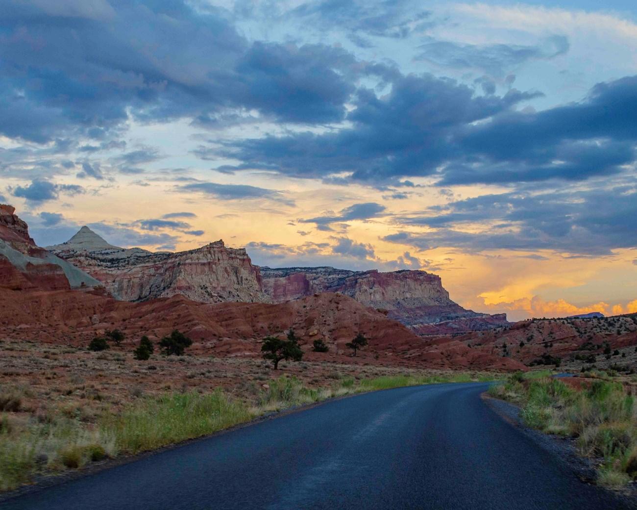
Explore Capitol Reef National Park in Utah for folded red-rock geology, historic Fruita orchards, scenic drives, canyons and remote desert trails.
-


Swipe for more regions
Explore more

Explore more of Utah
Explore Utah's stunning national parks, rich cultural heritage, and year-round outdoor adventures. Discover why this diverse state is a top destination for travelers.
Explore Utah