

Free Moab Travel Guide & Mobile App
Plan your Moab trip with Evendo. Get free guides to top attractions, restaurants, hotels, and bars. Web access or download the mobile app.


Moab, Utah combines red-rock landscapes with Arches and Canyonlands, Colorado River scenery, outdoor adventure and a welcoming desert-town culture year-round.
A Gateway to Red Rock Country
Moab stands in southeastern Utah beside the Colorado River, where broad desert skies meet sandstone cliffs, slickrock mesas and deep-cut canyons. The town is best known as a base for exploring Arches National Park, immediately north of Moab, and Canyonlands National Park, whose Island in the Sky district lies to the west. Both parks are outside the town itself, but their landscapes shape Moab's identity and make the community one of the American Southwest's principal centres for outdoor travel.Read more about Moab
Landscape, Culture and Town Life
When is the best time to visit Moab?
Best: April–May, October · 22–28°C| Month | High (°C) | Rainfall (mm) |
|---|---|---|
| January | 7 | 15 |
| February | 11 | 14 |
| March | 17 | 16 |
| April (best) | 22 | 10 |
| May (best) | 28 | 10 |
| June | 35 | 8 |
| July | 39 | 10 |
| August | 37 | 10 |
| September | 32 | 10 |
| October (best) | 23 | 10 |
| November | 12 | 10 |
| December | 7 | 15 |
Getting to and around Moab
How to get there
Transportation
Best attractions in Moab
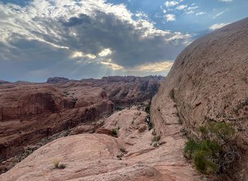
Moab's principal attractions lie in the surrounding public lands rather than within the town centre. Arches National Park presents a concentrated landscape of Entrada Sandstone formations, with Delicate Arch, Windows and Double Arch among its best-known sights, while Canyonlands National Park's Island in the Sky district opens onto immense views over the Colorado and Green river canyons. Near town, the Moab Museum explains local Indigenous, agricultural, mining and tourism history, and the Moab Giants attraction interprets dinosaur evidence from the region. The Colorado River offers a contrasting setting of cottonwoods, cliffs and calm stretches suitable for guided rafting and floating trips. Dead Horse Point State Park, a short drive away, provides an elevated view over a dramatic river bend. Mountain-bike trails, scenic drives and viewpoints along the Colorado River add active and accessible ways to experience the desert.
-
Raft trip outfitter
Moab Adventure Center
Experience the thrill of adventure sports at Moab Adventure Center, your gateway to unforgettable outdoor activities in Utah's stunning landscapes.
5 min walk · 0.4 km from city centre
-
Raft trip outfitter
Red River Adventures
Experience the thrill of rafting and rock climbing at Red River Adventures in Moab, Utah. Your ultimate outdoor adventure awaits amidst stunning landscapes.
7 min drive · 2.2 km from city centre
-
Tourist information center
Moab Information Center
Explore Moab, Utah, with expert guidance from the Moab Information Center - your essential resource for adventure and exploration.
1 min walk · 0.1 km from city centre
-
Tourist information center
Moab Information Center
Explore Moab's breathtaking landscapes and outdoor adventures at the Moab Information Center, your essential guide to this remarkable destination.
1 min walk · 0.1 km from city centre


Best landmarks in Moab
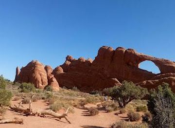
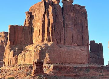
Moab's most significant landmarks are shaped by geology as much as by construction. Delicate Arch, standing above the park's sandstone basin, has become a widely recognised symbol of Utah, while the Windows and Double Arch formations demonstrate the erosion processes that define Arches National Park. In Canyonlands, the confluence area and the sheer viewpoints of Island in the Sky express the scale of the Colorado Plateau rather than a built architectural tradition. The Moab Museum is the town's principal institution for interpreting local history, including Indigenous heritage, settlement and uranium mining. Nearby Dead Horse Point forms a major natural landmark above a winding Colorado River corridor. Petroglyph panels and archaeological sites around Moab are cultural landmarks as well as historic evidence, and they require careful protection rather than physical contact or close approach.
-
Rock shop
Moab Rock Shop
Explore Moab Rock Shop - a unique blend of rock shop, museum, and gift shop showcasing the stunning geology of Utah.
13 min walk · 1.0 km from city centre
-
Raft trip outfitter
Moab Adventure Center
Discover adventure and breathtaking landscapes at Moab Adventure Center, the ultimate destination for outdoor enthusiasts in Utah.
5 min walk · 0.4 km from city centre
-
Brewpub
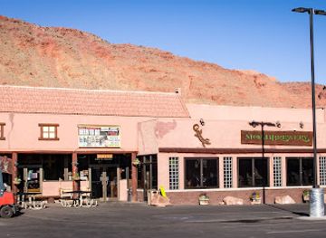
Moab Brewery
Discover Moab Brewery: A Culinary Gem in Moab, Utah with Craft Beers and Delicious American Fare.
15 min walk · 1.2 km from city centre
-
Tour operator
Base Jump Moab
Discover the thrill of adventure sports and breathtaking scenery at Base Jump Moab, your gateway to unforgettable outdoor experiences in Utah's stunning landscapes.
12 min walk · 1.0 km from city centre


Explore Moab on the map
Plan your Moab trip on one map. See where the top attractions, landmarks, restaurants, bars and hotels are, find what's near where you're staying, and book hotels and experiences in a few clicks.
Best hotels in Moab
Best restaurants in Moab
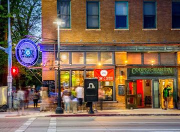
Moab's dining scene reflects its role as a base for outdoor travel, combining Southwestern and American cooking with cafés, bakeries, casual counter-service restaurants and more substantial evening dining. Menus commonly draw on regional ingredients and flavours such as green chile, tacos, grilled meats, burgers and salads, while vegetarian and plant-based options are increasingly visible in the town's independent eateries. Main Street and its adjoining blocks contain much of the choice, making the centre convenient after a day on the trails, although individual businesses can be seasonal. Coffee shops and breakfast cafés are particularly useful for early starts, while local shops provide provisions for picnics and self-catering. Dining is generally informal, and reservations may be sensible for popular evening venues during spring, autumn and holiday periods without assuming that every restaurant operates year-round.
-
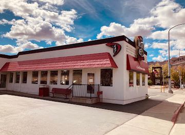
Diner
Moab Diner
Experience authentic American diner cuisine at Moab Diner – where comfort food meets local charm in beautiful Moab, Utah.
4 min walk · 0.3 km from city centre
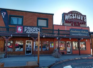
-
American
Zax Restaurant
Experience delectable American cuisine at Zax Restaurant in Moab—home of gourmet burgers, tasty pizza, and vibrant dining atmosphere.
2 min walk · 0.2 km from city centre
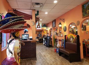
-
Mexican
Fiesta Mexicana
Experience authentic Mexican cuisine at Fiesta Mexicana in Moab - where vibrant flavors meet welcoming hospitality.
5 min walk · 0.4 km from city centre
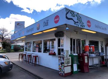
-
Hamburger
Milt's Stop & Eat
Discover Milt's Stop & Eat in Moab - where delicious burgers meet breathtaking views in a cozy atmosphere.
11 min walk · 0.9 km from city centre
Best bars in Moab
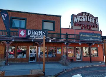
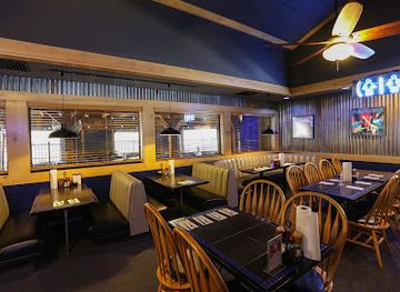
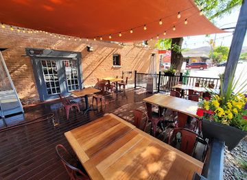
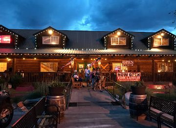
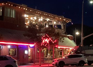
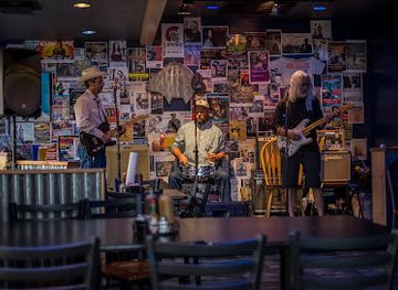
Moab's evening scene is modest and informal rather than club-focused. Main Street has the greatest concentration of bars and restaurants serving beer, wine and cocktails, with patios and relaxed interiors that suit visitors returning from the parks. Live music and occasional community or cultural events add variety, but the town is not known for a large nightclub district or late-night entertainment infrastructure. After dark, many visitors shift towards quieter activities: ranger programming when scheduled, stargazing away from street lighting, evening walks in town or organised night-sky experiences in the surrounding desert. Alcohol service follows Utah law, and visitors should carry identification, use designated drivers or pre-arranged transport, and remember that remote roads and trails become particularly difficult to navigate at night.
-
American
Zax Restaurant
Experience the best of American cuisine at Zax Restaurant in Moab, where every meal is a celebration of flavor and fun.
2 min walk · 0.2 km from city centre
-
Barbecue
The Blu Pig
Savor the best barbecue and live music in Moab at The Blu Pig, where every meal is a celebration of flavor and fun.
16 min walk · 1.3 km from city centre
-
Bar
The Spoke on Center
Experience the best of Moab dining at The Spoke on Center, offering delicious burgers, pasta, and ice cream in a vibrant atmosphere.
1 min walk · 0.1 km from city centre
-
American
The Broken Oar
Discover The Broken Oar in Moab, UT, where American flavors meet barbecue delights in a cozy setting perfect for relaxation and enjoyment.
8 min walk · 0.7 km from city centre
Best nightclubs in Moab
Moab's evening scene is modest and informal rather than club-focused. Main Street has the greatest concentration of bars and restaurants serving beer, wine and cocktails, with patios and relaxed interiors that suit visitors returning from the parks. Live music and occasional community or cultural events add variety, but the town is not known for a large nightclub district or late-night entertainment infrastructure. After dark, many visitors shift towards quieter activities: ranger programming when scheduled, stargazing away from street lighting, evening walks in town or organised night-sky experiences in the surrounding desert. Alcohol service follows Utah law, and visitors should carry identification, use designated drivers or pre-arranged transport, and remember that remote roads and trails become particularly difficult to navigate at night.
-
American
Zax Restaurant
Discover Zax Restaurant in Moab, Utah - a vibrant American eatery known for its burgers, pizza, and lively atmosphere perfect for tourists.
2 min walk · 0.2 km from city centre
-
Barbecue
The Blu Pig
Experience the best of barbecue and live blues music at The Blu Pig, a must-visit dining spot in the heart of Moab, Utah.
16 min walk · 1.3 km from city centre
-
Bar
The Spoke on Center
Discover The Spoke on Center in Moab – a vibrant bar and restaurant offering delicious burgers, pasta, and ice cream in a lively setting.
1 min walk · 0.1 km from city centre
-
Brewpub
Moab Brewery
Discover the best of Moab's craft beer and American cuisine at Moab Brewery, a must-visit brewpub in Utah's stunning landscape.
15 min walk · 1.2 km from city centre

Best shops in Moab
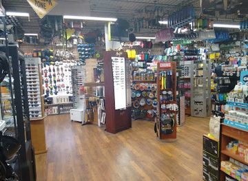
Shopping in Moab is concentrated along Main Street and centres on practical outdoor equipment, locally made art, geological and desert-themed objects, clothing and provisions for travellers. Independent outfitters sell or hire equipment for hiking, cycling, climbing, rafting and four-wheel-drive journeys, while galleries and specialist shops offer photography, paintings, ceramics, jewellery and other work inspired by the Colorado Plateau. Souvenirs may include regional food products, books about natural and Indigenous history, maps and educational material rather than mass-market luxury goods. Visitors should be cautious about buying fossils, artefacts or pieces described as coming from archaeological sites, since protected cultural material must remain where it is and ethical provenance matters. The town has no vast shopping district; its retail character is practical, outdoors-oriented and closely connected with the surrounding landscape.
-
Gift shop
Moab Rock Shop
Explore the geological treasures and unique gifts at Moab Rock Shop, a must-visit attraction in the heart of Utah's stunning landscapes.
13 min walk · 1.0 km from city centre
-
Outdoor clothing and equipment shop
Gearheads Outdoor Store
Discover Gearheads Outdoor Store in Moab for top-quality outdoor gear and clothing, perfect for your Utah adventure!
10 min walk · 0.8 km from city centre
-
Grocery store
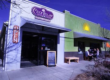
Moonflower Community Cooperative
Explore the flavors of Moab at Moonflower Community Cooperative, a grocery store and community hub offering organic produce and local delicacies.
3 min walk · 0.2 km from city centre
-
Outdoor clothing and equipment shop
Moab Gear Trader
Explore Moab's stunning landscapes with the best outdoor gear and expert advice from Moab Gear Trader, your local adventure hub.
6 min walk · 0.5 km from city centre


Get your free copy of our complete guide to Moab, delivered straight to you.
Everything on this page, from attractions and restaurants to essentials and local phrases, in one PDF you can read offline, print or share.
Already have an account? Sign in
Your Moab guide is ready.
We'll send it to · Not you? Sign out

Getting your guide ready…
We are putting together a fresh copy of the Moab guide. This can take up to a minute.
This can take a few moments. If your browser asks, choose Allow so the download can start. You'll find the guide in your Downloads folder.
Nothing happened? Download it again
Sorry, the guide is taking longer than usual. Please try again in a minute, or get it by email instead.
Moab essentials
Currency and Payment
Safety
Emergency Situations
Do's and Don'ts
Local Tips
From Eve
Local phrases worth knowing
You don't need to get them perfect. A few words go a long way, and locals appreciate the effort.
Basics
| English | Local | Say it |
|---|---|---|
| Hello | Howdy | [haw-dee] |
| Goodbye | See ya | [see yuh] |
| Yes | Yup | [yuhp] |
| No | Nope | [nohp] |
| Please/You're welcome | Please/You're welcome | [pleez / yur wel-come] |
| Thank you | Thanks | [thanks] |
| Excuse me/Sorry | Pardon me | [par-dun me] |
| How are you? | Howdy do? | [haw-dee doo] |
| Fine. And you? | Just fine. And you? | [just fine. and yuh?] |
| Do you speak English? | Y'all speak English? | [yawl speak ing-glish?] |
| I don't understand | I ain't gettin' it | [eye aint get-tin it] |
Eating & Drinking
| English | Local | Say it |
|---|---|---|
| I'd like to see the menu, please | I reckon I'll take a gander at the menu, if you don't mind | [eye reck-un eye'll take uh gan-der at the menu, if yuh don't mind] |
| I don't eat meat | I don't fancy no meat | [eye don't fan-see no meat] |
| Cheers! | Cheers! | [cheers] |
| I would like to pay, please | I reckon it's time to settle up | [eye reck-un its time to set-tul up] |
Emergencies
| English | Local | Say it |
|---|---|---|
| Help! | Help! | [help!] |
| Go away! | Git! | [git!] |
| Call the Police! | Call the Sheriff! | [call the sher-iff!] |
| Call a doctor! | Get a doc! | [get uh doc!] |
| I'm lost | I'm turned around | [eye'm turned uh-round] |
| I'm ill | I'm feelin' poorly | [eye'm feel-in poor-ly] |
Shopping
| English | Local | Say it |
|---|---|---|
| I'd like to buy... | I reckon I'll buy... | [eye reck-un eye'll buy...] |
| I'm just looking | Just browsin' | [just brow-zin] |
| How much is it? | How much fer that? | [how much fur that?] |
| That's too expensive | That's a bit steep | [that's uh bit steep] |
| Can you lower the price? | Can y'all do any better on the price? | [can yawl do any bet-ter on the price?] |
Time & Numbers
| English | Local | Say it |
|---|---|---|
| What time is it? | What's the hour? | [whats the hour?] |
| It's one o'clock | It's one o'clock | [its one o'clock] |
| Half past (10) | Half past (10) | [half past (10)] |
| Morning | Mornin' | [morn-in] |
| Afternoon | Afternoon | [after-noon] |
| Evening | Evenin' | [even-in] |
| Yesterday | Yest'day | [yest-day] |
| Today | Today | [to-day] |
| Tomorrow | Tomorruh | [tom-uh-ruh] |
| 1 | One | [wun] |
| 2 | Two | [too] |
| 3 | Three | [three] |
| 4 | Four | [four] |
| 5 | Five | [five] |
| 6 | Six | [six] |
| 7 | Seven | [seven] |
| 8 | Eight | [ate] |
| 9 | Nine | [nine] |
| 10 | Ten | [ten] |
Transport & Directions
| English | Local | Say it |
|---|---|---|
| Where's a/the...? | Where's a/the...? | [wheres a/the...?] |
| What's the address? | What's the address? | [whats the address?] |
| Can you show me (on the map)? | Can you show me (on the map)? | [can you show me (on the map)?] |
| When's the next (bus)? | When's the next (bus)? | [whens the next (bus)?] |
| A ticket (to ....) | A ticket (to ....) | [a ticket (to ....)] |
History of Moab
Indigenous Lands and Ancient Rock Art
The Moab Valley has been inhabited and used by Indigenous peoples for thousands of years. Ancestral Puebloan communities farmed near the area's waterways and left pottery, architecture and rock imagery across the wider Colorado Plateau, while Fremont cultural traditions are also represented in the region. Ute peoples maintained longstanding connections with the landscape and continue to do so today. Petroglyph panels, including those along trails and roads near Moab, are evidence of past lives, beliefs and relationships with the land, although their meanings are not always known. Visitors encounter these places within a living Indigenous geography rather than an abandoned prehistoric landscape.
Settlement in the Moab Valley
The modern town emerged in the late nineteenth century as Latter-day Saint settlers established agriculture in the fertile valley beside the Colorado River. The name Moab, drawn from the Bible, was adopted by the settlement in the 1880s. Farming, orchards and cattle shaped the local economy, while the river provided essential water in an otherwise arid environment. Isolation was gradually reduced by roads, ferries and later bridges linking the valley with communities across southeastern Utah. The town remained small and agricultural for decades, with its identity tied more to ranching and river-bottom cultivation than to tourism.
Mining, Railways and Uranium
Moab's economy changed during the twentieth century as mineral extraction expanded in the surrounding plateau and canyon country. Potash mining continues near the Colorado River, while uranium became especially important during the Cold War. Prospectors and companies worked deposits in the region, and the uranium boom brought new employment, population growth and infrastructure to Moab. The boom later declined, leaving abandoned workings and environmental concerns that still form part of the area's modern history. The town's mining past is recalled through local museums, historic sites and the preserved remains of industrial activity beyond the central streets.
National Parks and Conservation
Arches National Monument was established in 1929 and became Arches National Park in 1971, protecting a dense concentration of natural sandstone arches and associated desert formations north of Moab. Canyonlands National Park was established in 1964 to conserve a much larger landscape carved by the Colorado and Green rivers. These designations transformed the region's relationship with tourism and conservation, bringing visitors while also placing strict responsibilities on land managers and travellers. Dead Horse Point State Park, created in 1959 on a plateau above the Colorado River, added another important protected landscape near the town.
From Adventure Town to Outdoor Centre
From the late twentieth century onwards, improved roads, national-park visitation and the growth of recreational pursuits reshaped Moab's economy. Four-wheel-drive routes, mountain biking, climbing, rafting and hiking attracted visitors drawn to the area's accessible but demanding terrain. Events such as the Moab Jeep Safari helped establish the town's reputation among off-road enthusiasts, while film production also used the surrounding desert as a setting. Today, tourism coexists with farming, mining, public-land management and a permanent community whose history is more complex than the adventure industry alone suggests.
Moab in Photos
Browse through our photo collection highlighting the charm and character of the destination.
Cities near Moab
The closest cities to Moab, if you have time for more than one stop.
-
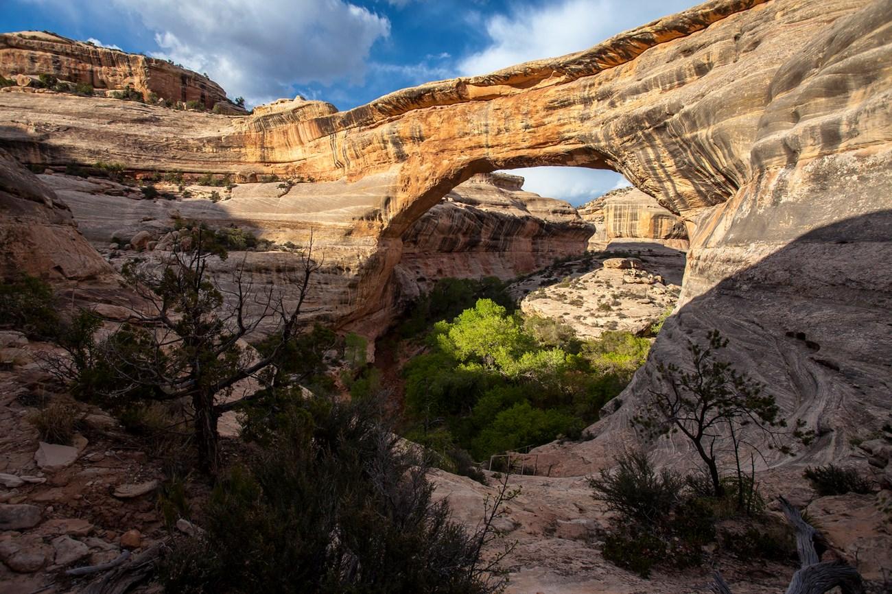 Blanding
, Utah offers dinosaur fossils, Ancestral Puebloan heritage, Bears Ears landscapes and easy access to Natural Bridges and Four Corners country.
2 h 6 min drive · 106 km from city centre
Blanding
Blanding, Utah offers dinosaur fossils, Ancestral Puebloan heritage, Bears Ears landscapes and easy access to Natural Bridges and Four Corners country.
2 h 6 min drive · 106 km from city centre
-

-
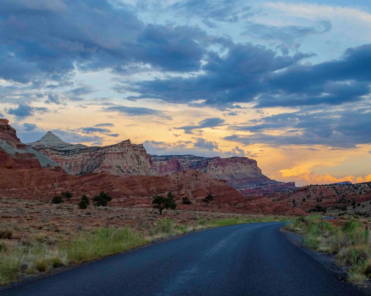 Torrey
, Utah, pairs a welcoming high-desert town with Capitol Reef scenery, red-rock hikes, Scenic Byway 12, dark skies and memorable outdoor adventures.
3 h 6 min drive · 166 km from city centre
Torrey
Torrey, Utah, pairs a welcoming high-desert town with Capitol Reef scenery, red-rock hikes, Scenic Byway 12, dark skies and memorable outdoor adventures.
3 h 6 min drive · 166 km from city centre
-

-


Swipe for more cities
Explore more

Explore more of Utah
Explore Utah's stunning national parks, rich cultural heritage, and year-round outdoor adventures. Discover why this diverse state is a top destination for travelers.
Explore Utah